2Km
2Km
Note
 50m
50m
50m
1.7Km
2Km
2.1Km
2.9Km
4.9Km
5.1Km
50m
50m
50m
1.7Km
2Km
2.1Km
2.9Km
4.9Km
5.1Km
2Km
2.1Km
4.9Km
5.2Km
5.3Km
5.3Km
5.6Km
6.1Km
6.1Km
6.3Km
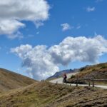
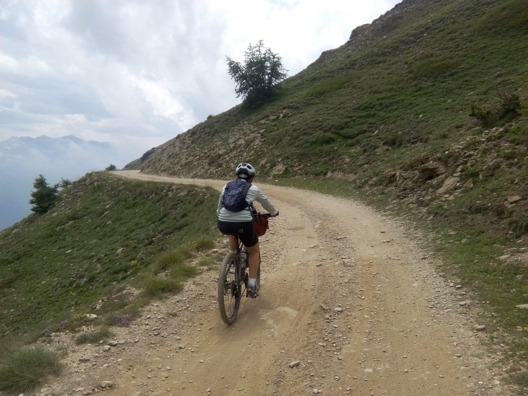
La strada che conduce al colle delle Finestre dalla Val Chisone via Prà Catinat è asfaltata per i primi 8 km, ma anche la parte restante presenta un ottimo fondo.
Per la discesa numerose le possibilità, qui viene descritta la bellissima discesa per la strada dei cannoni del forte di Fenestrelle.
Avvicinamento
Per la discesa numerose le possibilità, qui viene descritta la bellissima discesa per la strada dei cannoni del forte di Fenestrelle.
.
Descrizione
Da Depot si sale al Sanatorio Agnelli superando le borgate Fondufaux, la Latta e Saret (6,2 km – pendenze costanti sul 10%).
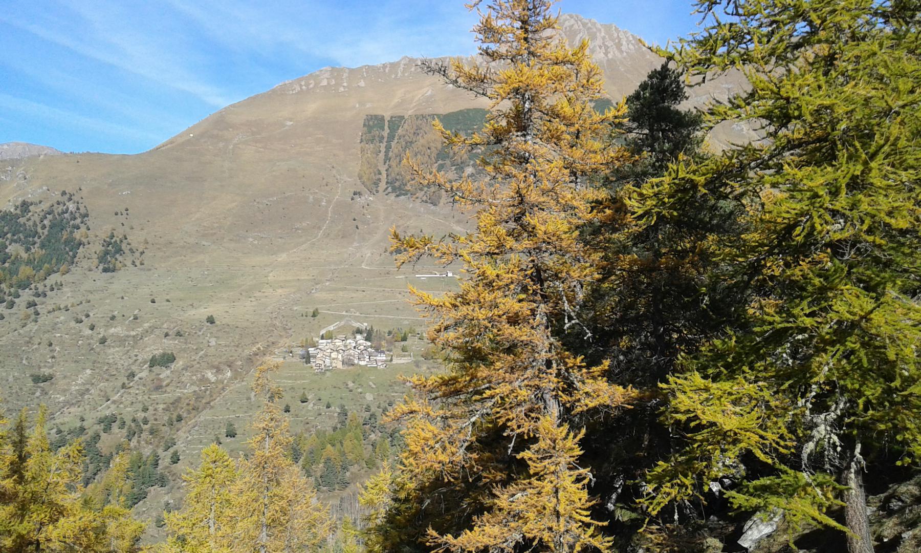
Ancora 1 km di faticosa salita quindi la strada spiana all’altezza della curva di q. 1740 immettendosi nell’amena conca di Prà Catinat.
Si superano un paio di fontane, il fondo diviene sterrato e la vegetazione si dirada.
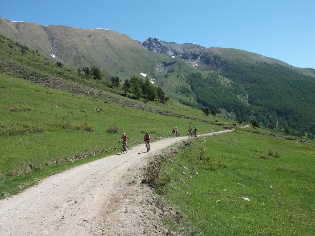
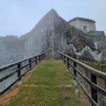
Superata la fontana del Chesalet (ultima possibilità di trovare acqua) il tracciato procede quasi in piano e con un lungo traverso molto panoramico si porta nei pressi del Forte Serre Marie (12 km. – 1876 m).
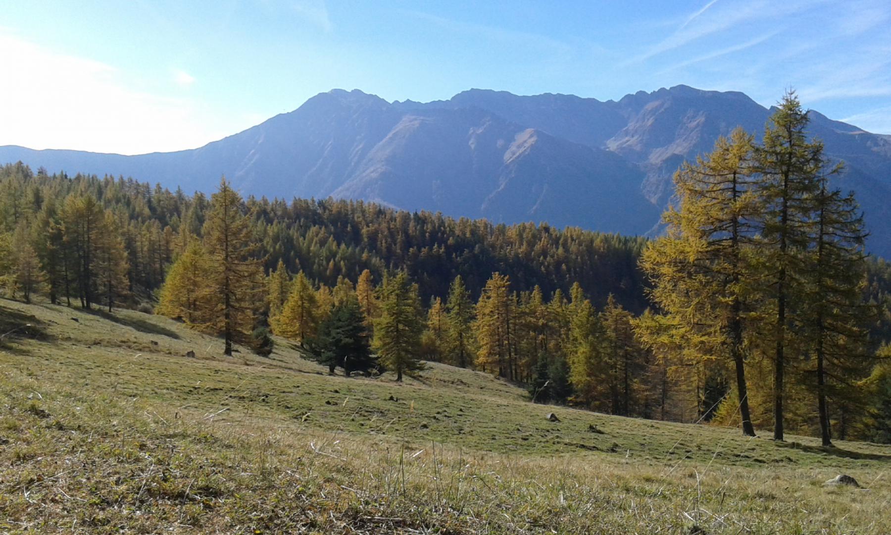
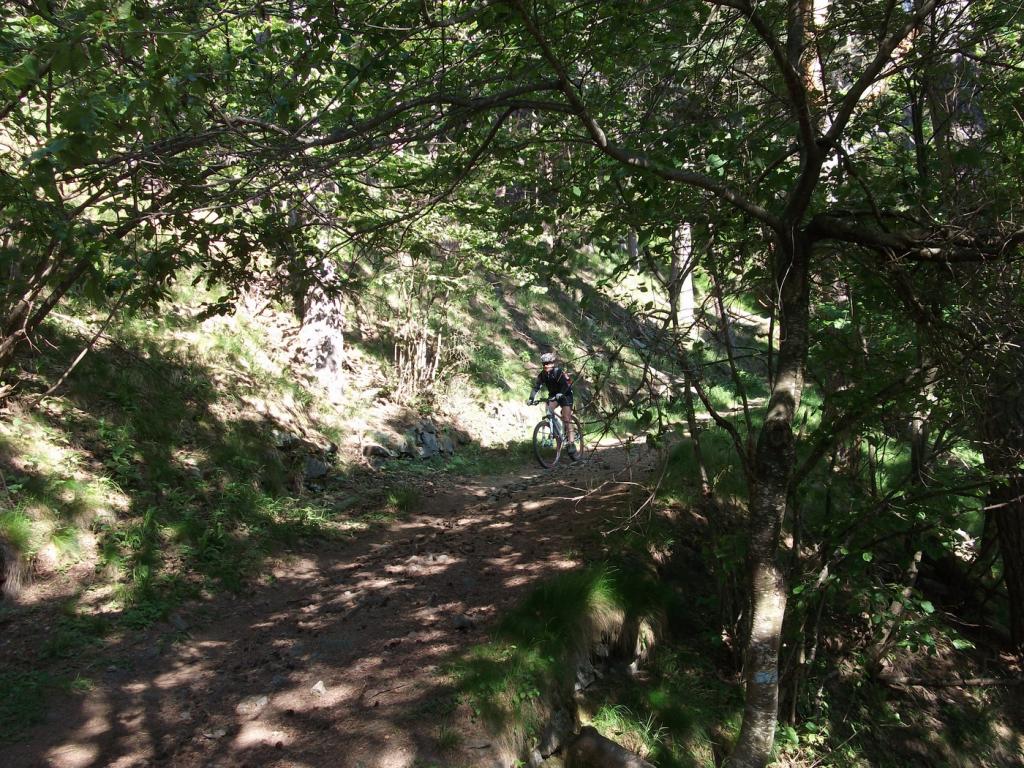
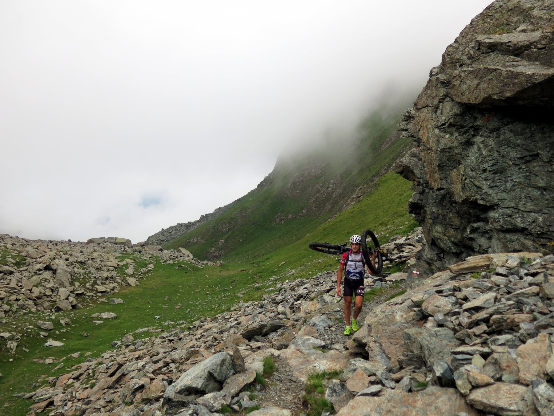
Superato il forte si prosegue in uno splendido bosco e, dopo ca 2 km, si raggiunge la diramazione Pian dell’Alpe-Assietta.
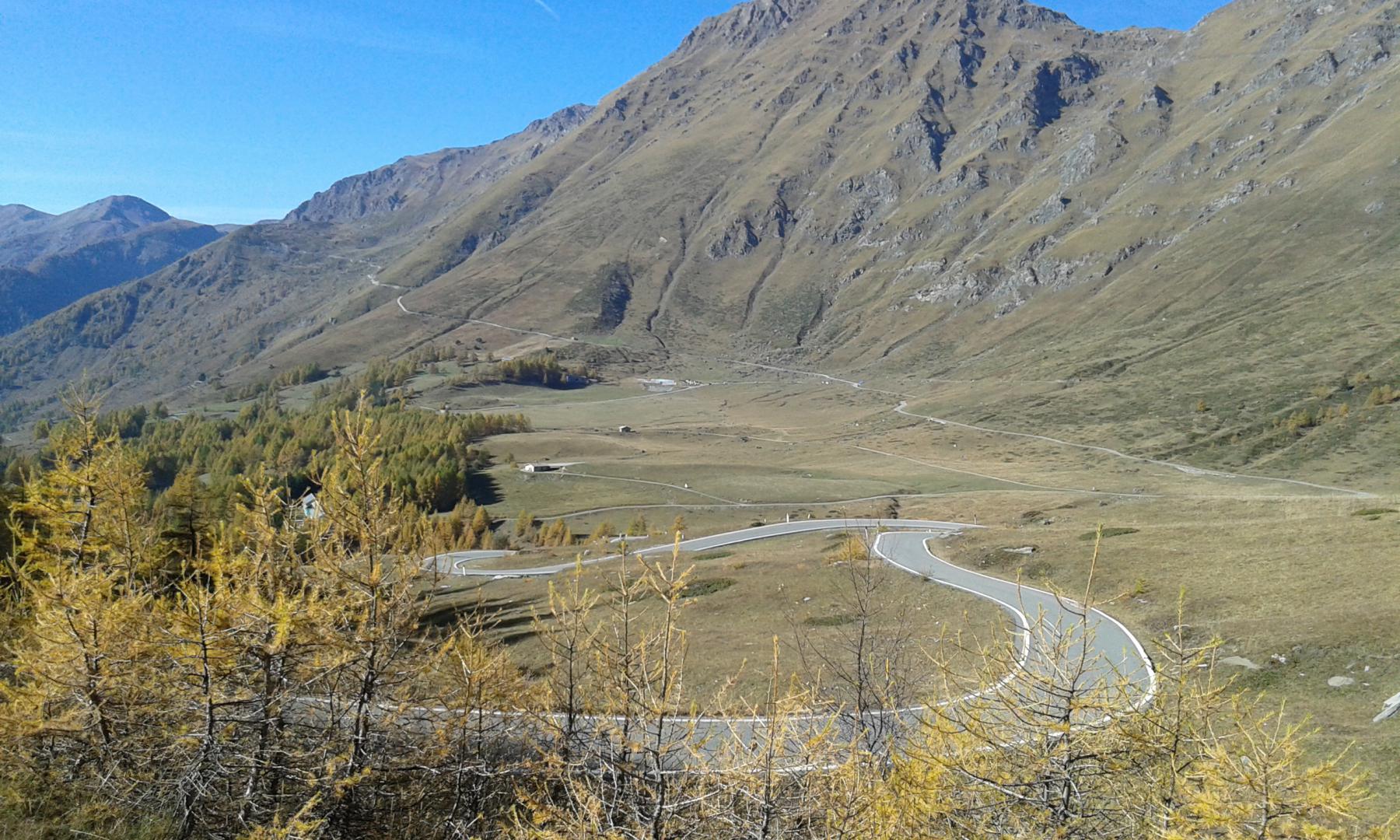
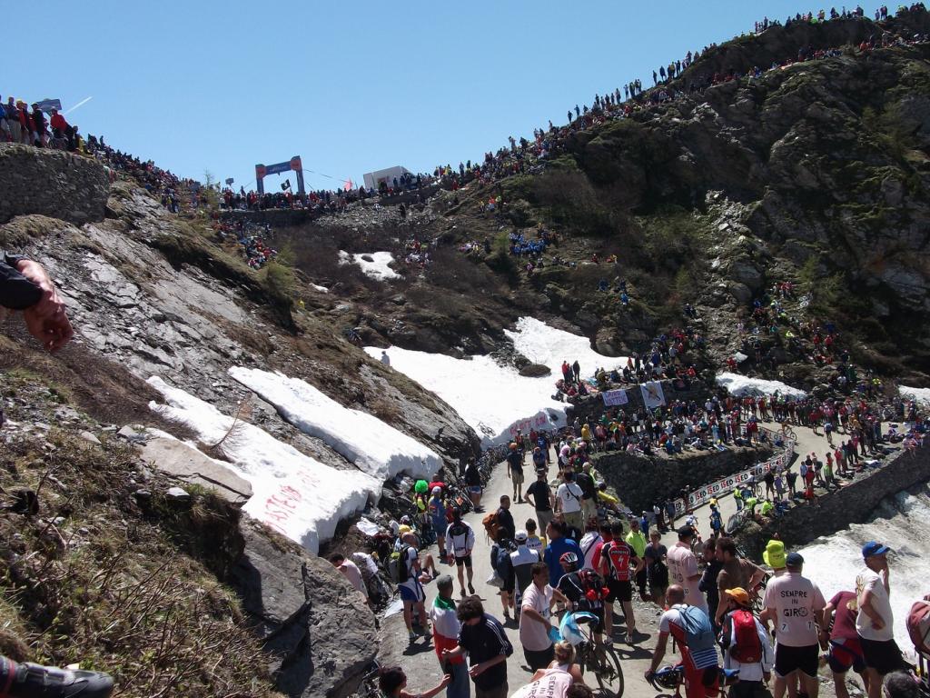
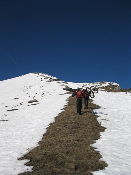
Per raggiungere il colle è necessario salire ancora per 1,7 km (pendenze del 9%) su fondo asfaltato.
Per la discesa attraverso la strada dei cannoni del forte di Fenestrelle si percorre a ritroso la via di salita fino alla curva di q. 1740.
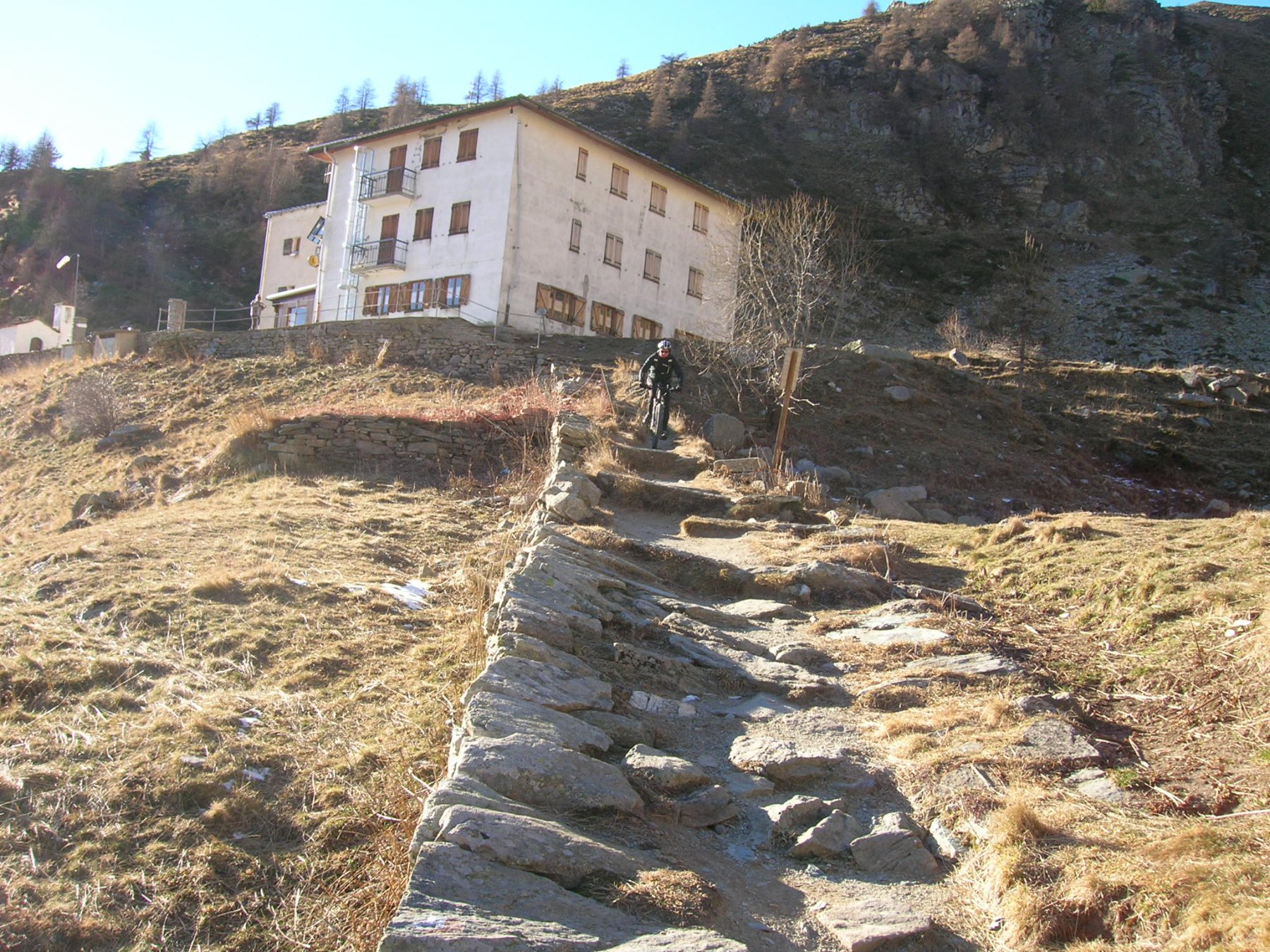
Si prende sulla destra il bivio che scende alla borgata Puy fino al secondo tornante, dove, sulla sinistra, si nota l’evidente mulattiera inerbita che corre parallela alle mura occidentali del forte delle Valli.
La discesa si svolge (qualche passaggio più impegnativo per fondo molto pietroso) poi lungo gli innumerevoli tornanti della bellissima mulattiera. Si raggiunge infine la strada che da Fenestrelle sale all’ingresso del forte e quindi la strada di fondovalle che in breve riporta a Depot.
- Cartografia:
- igc 6
- Bibliografia:
- le strade militari dell'Assietta
Nelle vicinanze Mappa
Itinerari
03/09/2023 TO, Fenestrelle D+ 1300 m MC, MC, S0 Sud-Ovest
Selleries (Rifugio) da Depot a Usseaux per il Forte Serre Marie e Pian dell’Alpe
 50m
50m
24/05/2026 TO, Fenestrelle D+ 1150 m TC+, BC+, S2 Sud-Ovest
Selleries (Rifugio) da Depot, giro con discesa dal sentiero Agostino Benedetto
 50m
50m
03/09/2025 TO, Fenestrelle D+ 1800 m MC, MC, S0 Varie
Assietta (Colle dell’) la Strada dell’Assietta da Depot a Sestriere
 50m
50m
12/07/2020 TO, Fenestrelle D+ 2200 m OC, EC+, S2 Varie
Orsiera, Mulinas, Sabbione (Colli) da Prà Catinat, giro dell’Orsiera
 1.7Km
1.7Km
28/05/2023 TO, Fenestrelle D+ 900 m MC+, MC+, S1 Varie
Fenestrelle (Forte di) da Mentoulles, giro delle borgate del versante sud
 2Km
2Km
03/09/2014 TO, Fenestrelle D+ 2450 m BC, BC, S1 Varie
Ciantiplagna (Cima) e Monte Genevris da Mentoulles, giro per il Colle dell’Assietta
 2.1Km
2.1Km
14/07/2018 TO, Fenestrelle D+ 1650 m TC+, BC, S2 Varie
Assietta (Colle dell’) da Pra Catinat, giro per Col Lauson, Rifugio Arlaud, Col Blegier
 2.9Km
2.9Km
06/01/2015 TO, Usseaux D+ 1300 m MC+, BC+, S2 Sud-Ovest
Pintas (Monte) da Usseaux, giro per il Colle delle Finestre
 4.9Km
4.9Km
15/06/2018 TO, Roure D+ 1140 m MC, OC, S2 Sud
Selleries (Rifugio) da Villaretto, discesa su Seleiraut
 5.1Km
5.1Km
01/05/2008 TO, Roure D+ 521 m BC, MC, S0 Sud
Seleiraut (Borgata) da Villaretto
5.1Km
Servizi
2Km
2.1Km
Tui Tui Ristorante
Fenestrelle
4.9Km
Alpe Pintas Ristorante
Usseaux
5.2Km
La Placette Ristorante
Usseaux
5.3Km
Cheese Bar Ristorante
Usseaux
5.3Km
Pian dell’alpe Rifugio
Usseaux
5.6Km
Souvenir Rifugio
Usseaux
6.1Km
Edelweiss Ristorante
Usseaux
6.1Km
Lago delle Rane Rifugio
Usseaux
6.3Km