1.3Km
1.3Km

Note
 0m
1.1Km
1.1Km
1.1Km
1.1Km
1.1Km
1.2Km
1.2Km
1.2Km
1.5Km
0m
1.1Km
1.1Km
1.1Km
1.1Km
1.1Km
1.2Km
1.2Km
1.2Km
1.5Km
1.3Km
1.5Km
1.5Km
2.2Km
2.2Km
2.6Km
2.8Km
3Km
4.3Km
6.1Km
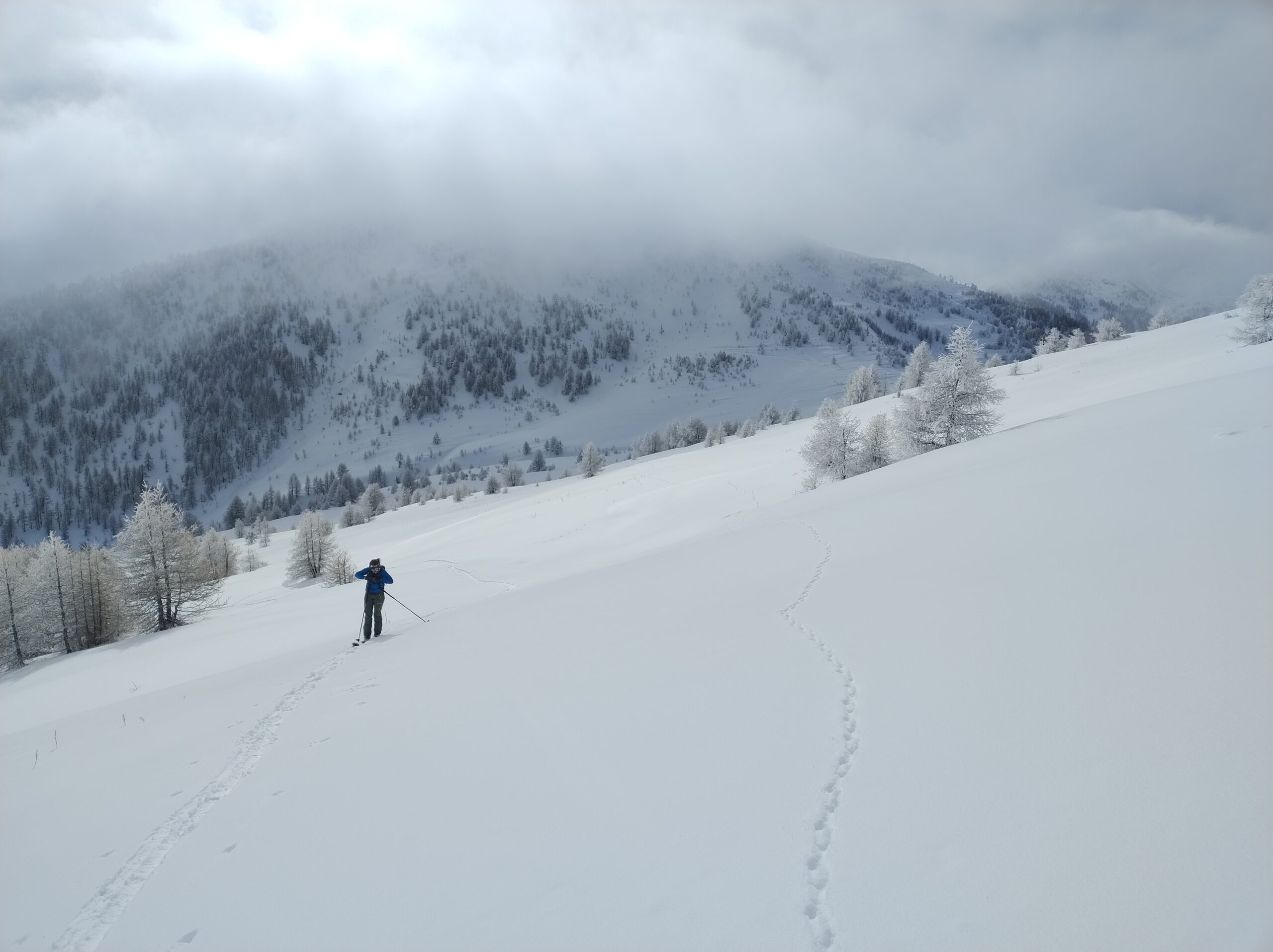
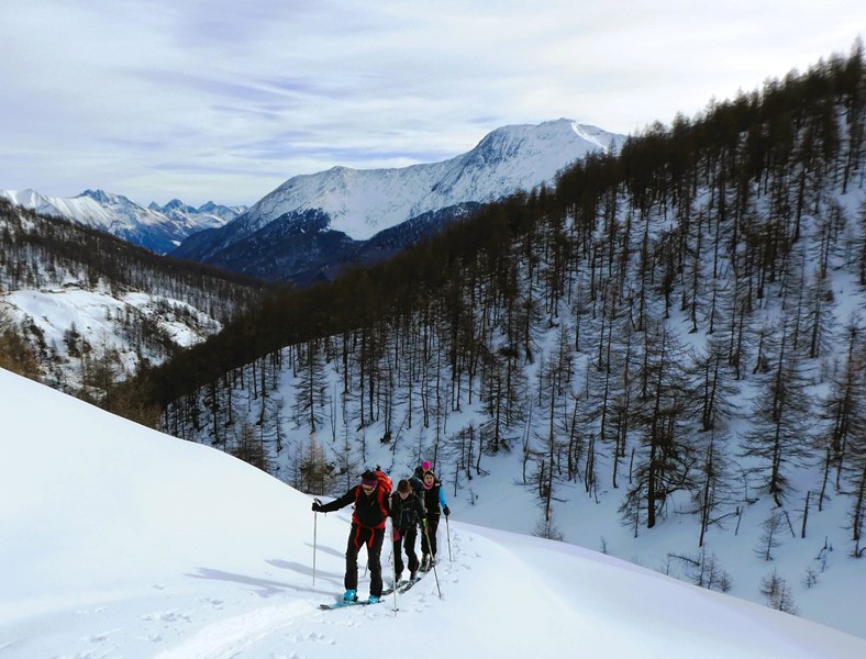
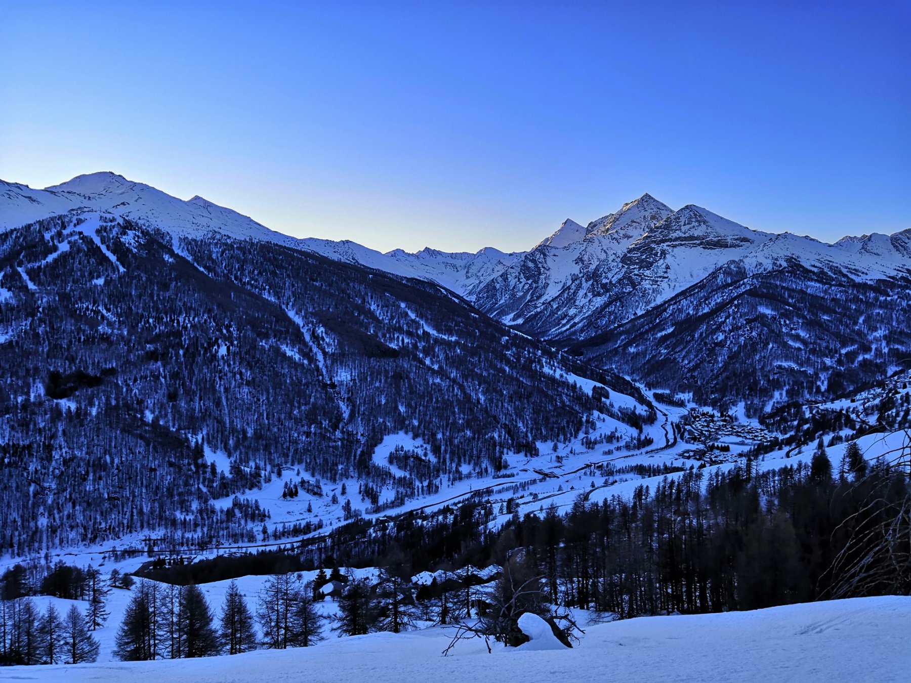
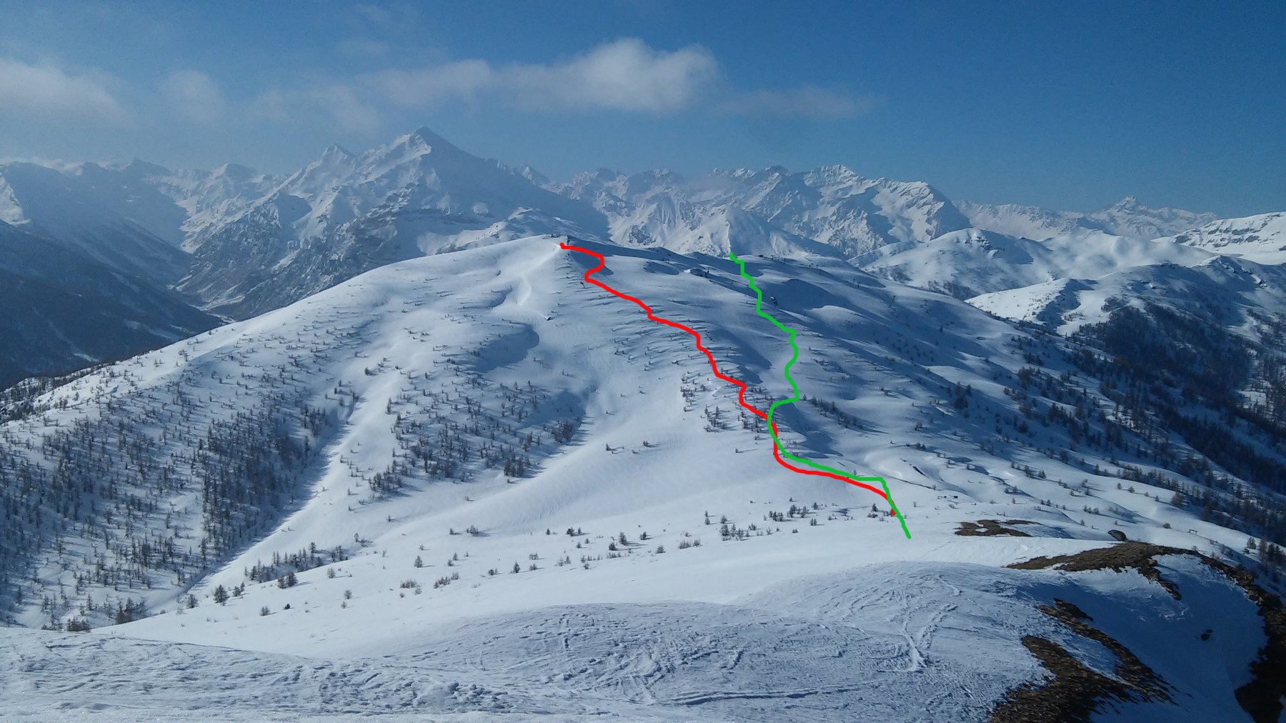
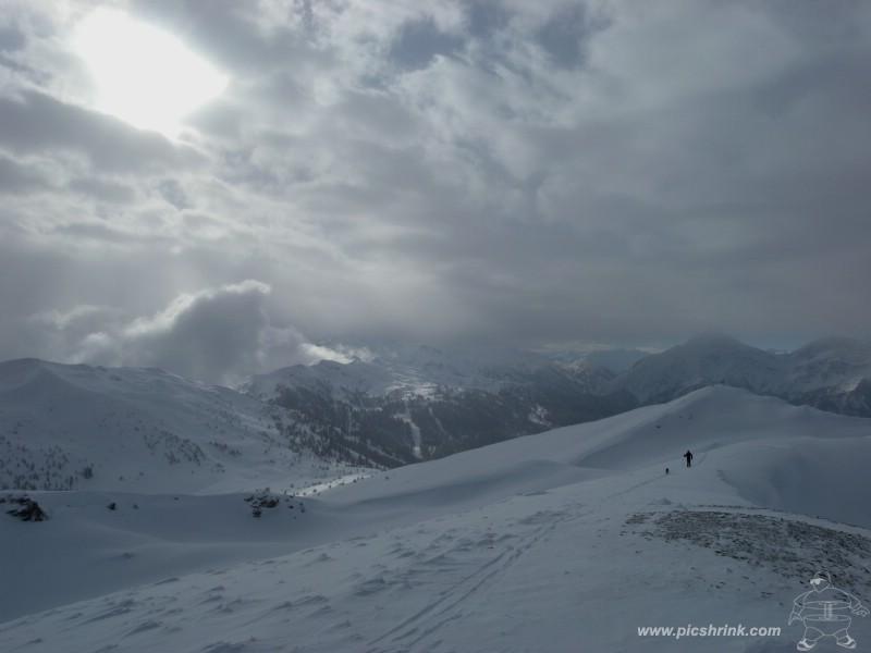
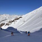
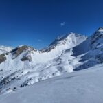
Splendida combinazione ad anello, che permette di salire due belle cime dela Val Chisone e fare una visita al selvaggio e poco conosciuto Vallone del Rio Pomerol. Sconsigliato con scarsa visbilità a causa di alcune barriere rocciose poco visibili
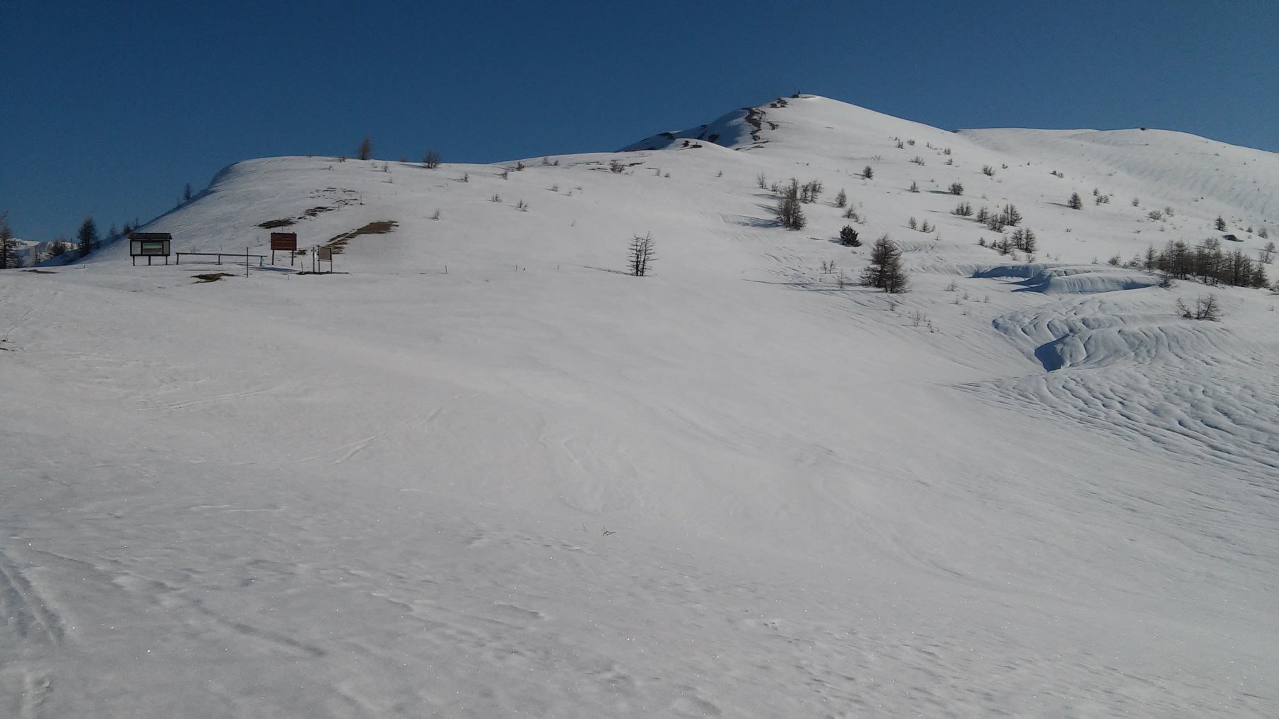
Avvicinamento
A stagione avanzata si può salire da Villardamont o da Allevè (300 m in mento di dislivello)
Descrizione
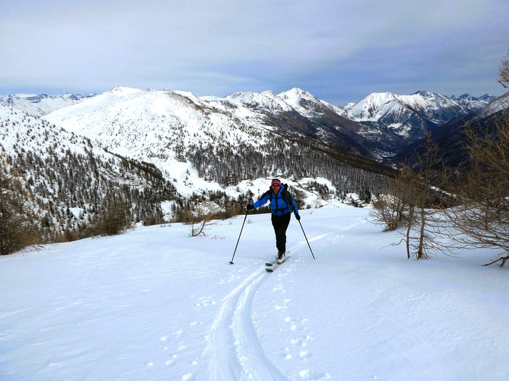
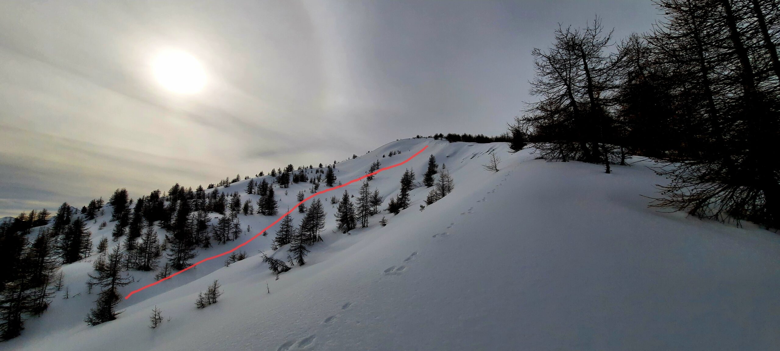
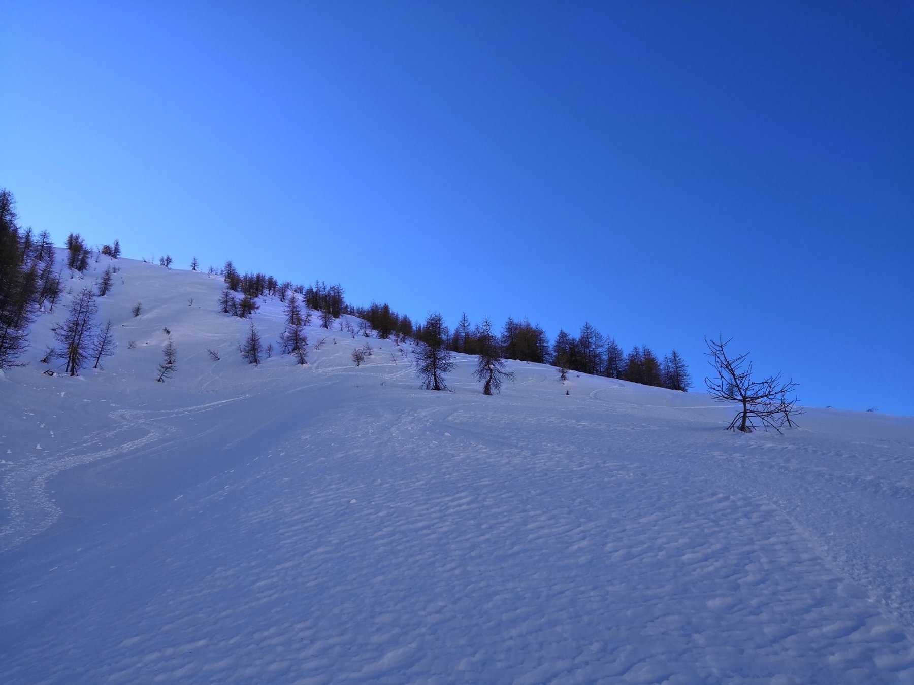
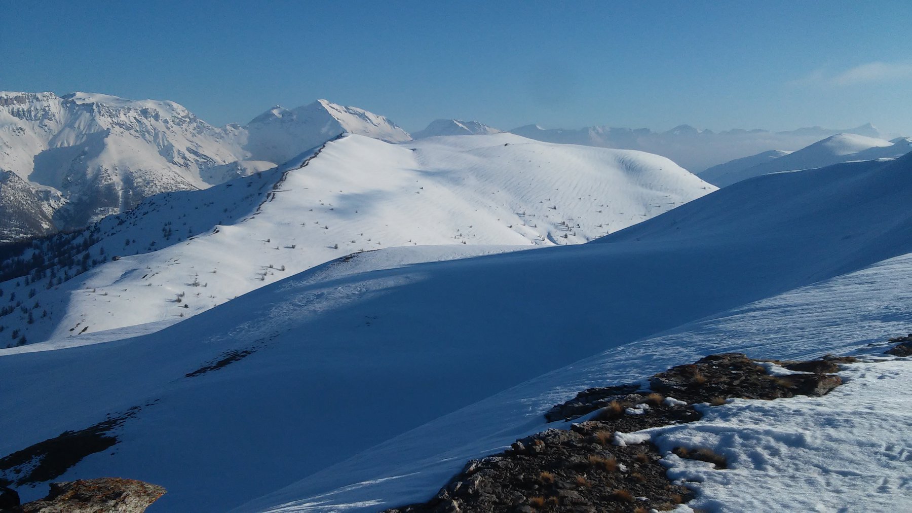
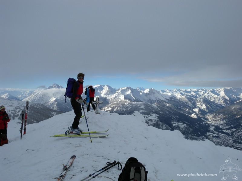
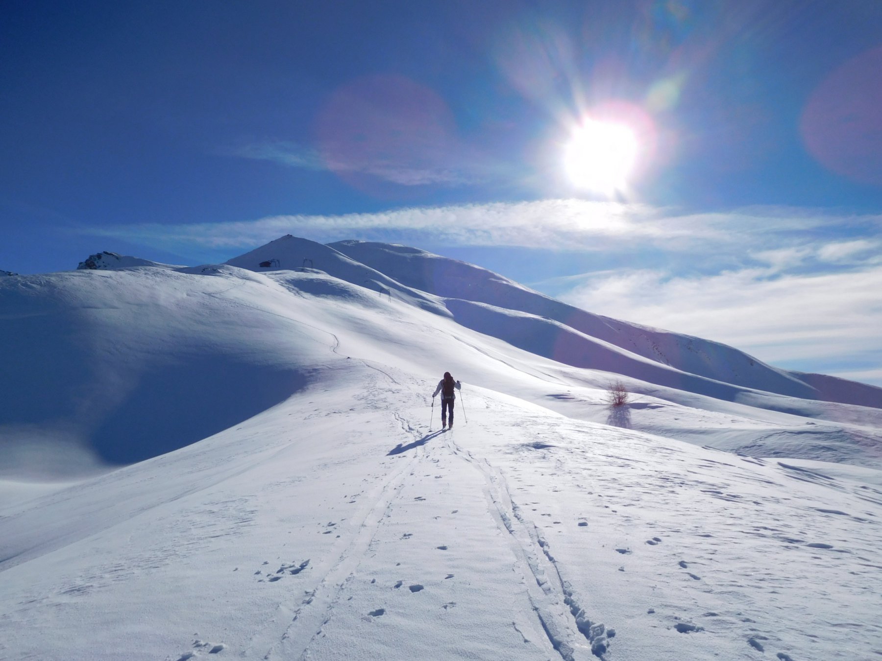
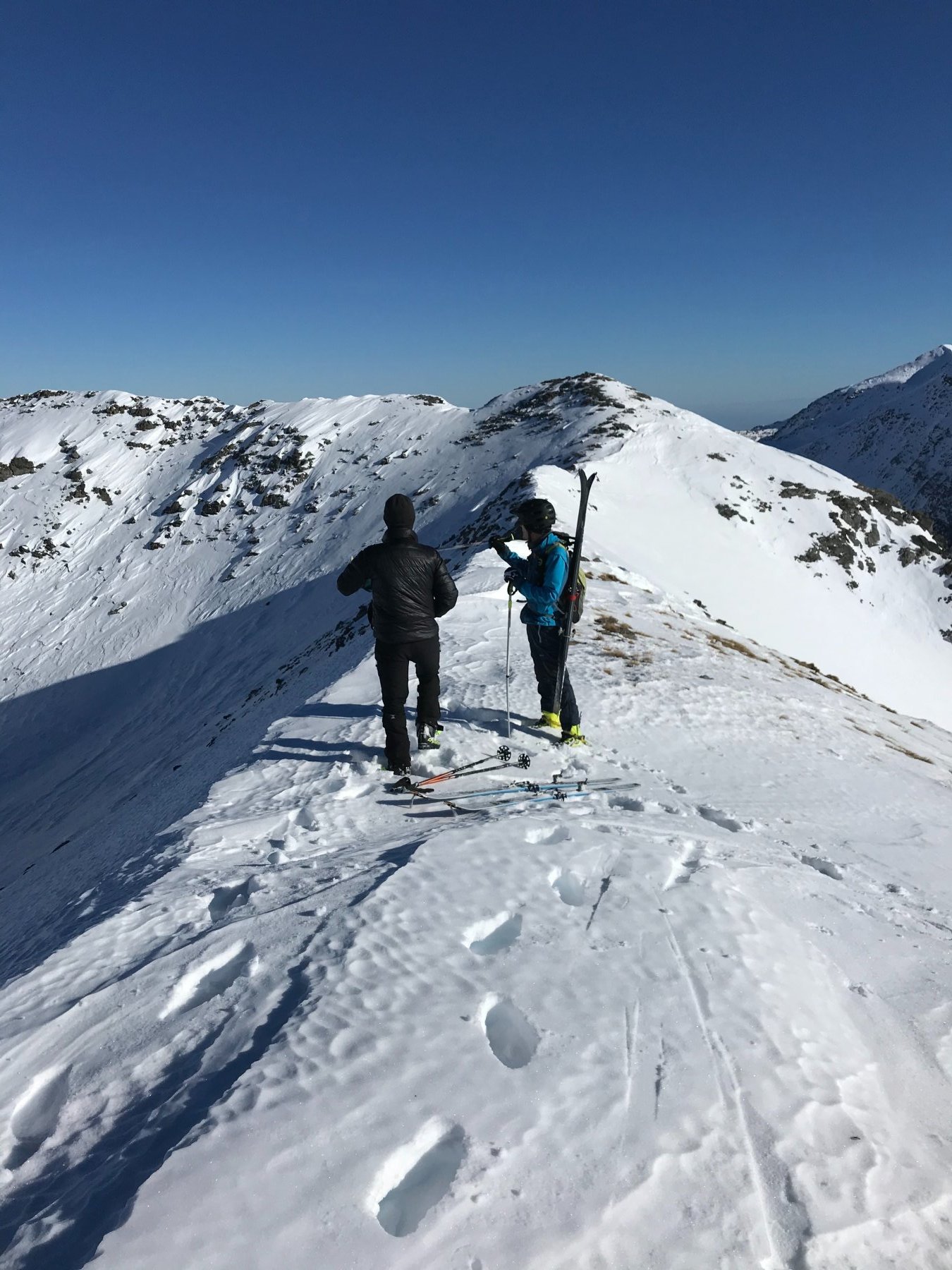
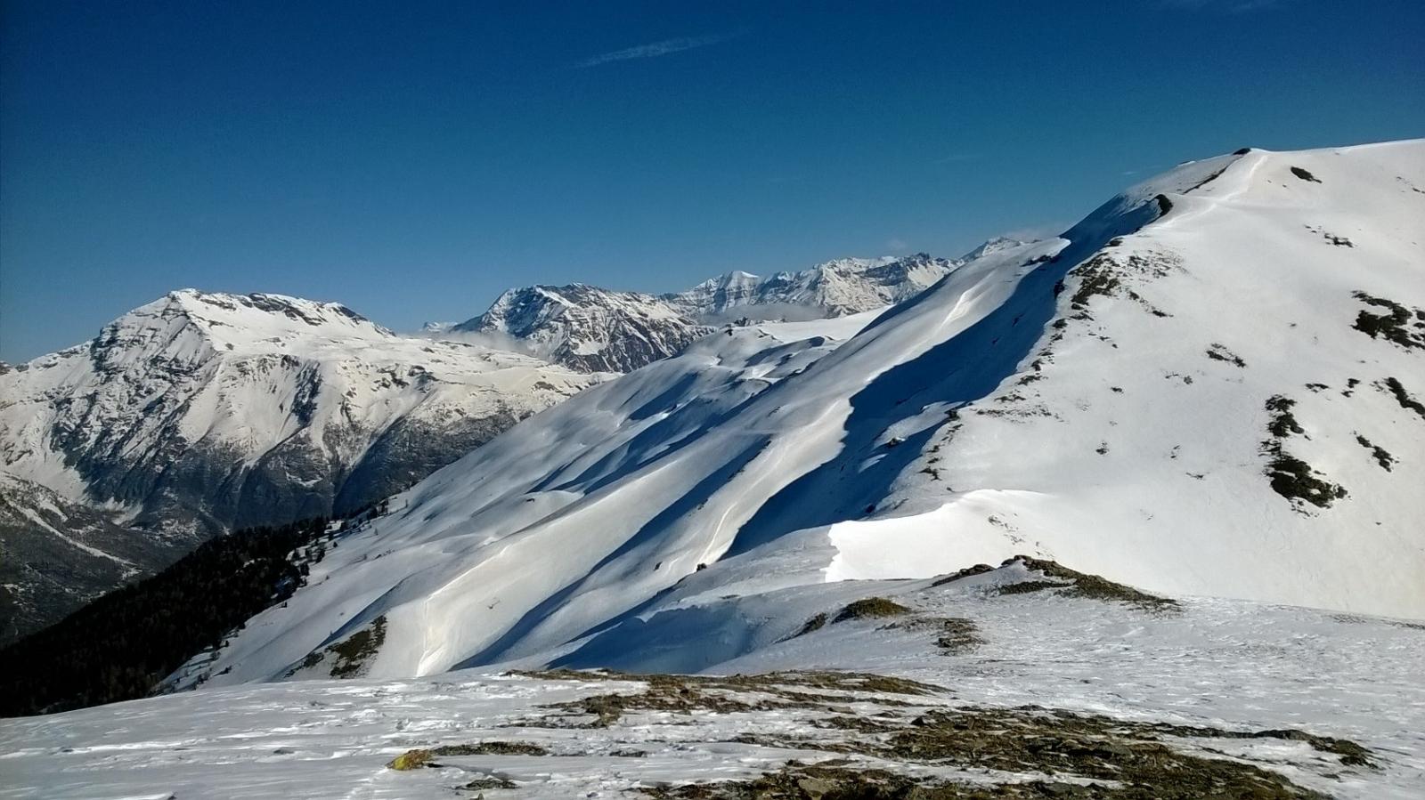
Si sale direttamente da Grangie (piazzetta di Pragelato) su bei terrazzamenti in leggera direzione NNO a sx degli evidenti pali dell’alta tensione (itinerario classico). Dalla cima ci si abbassa di circa 250 metri al Colle Costa Piana 2313 in prossimità degli impianti, si risale poi la cresta che conduce prima ad una caratteristica anticima (tavola in pietra e cippo) poi si prosegue verso NE sino alla poco frequentata cima del Genevris.
Discesa:
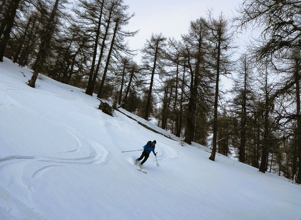
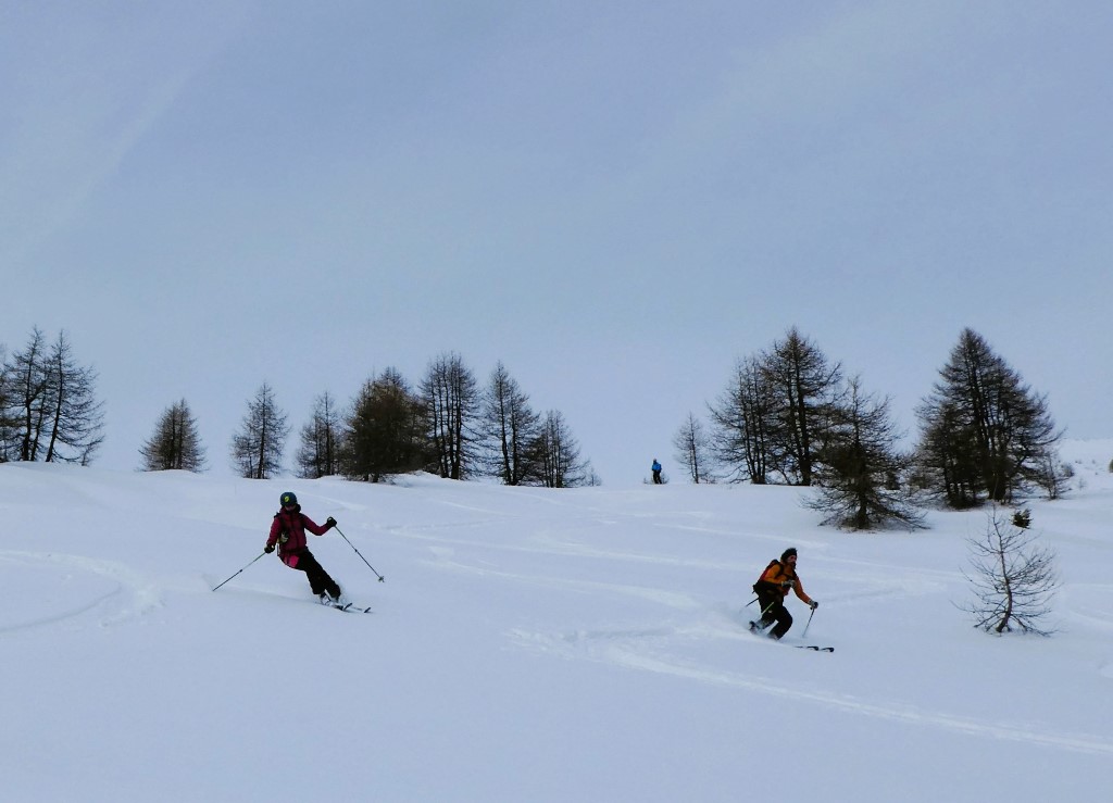
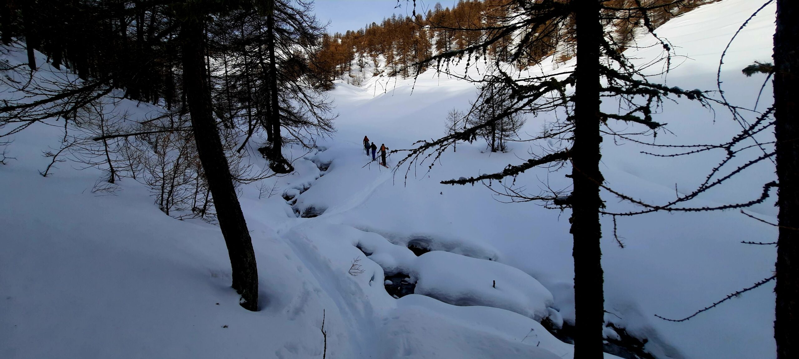
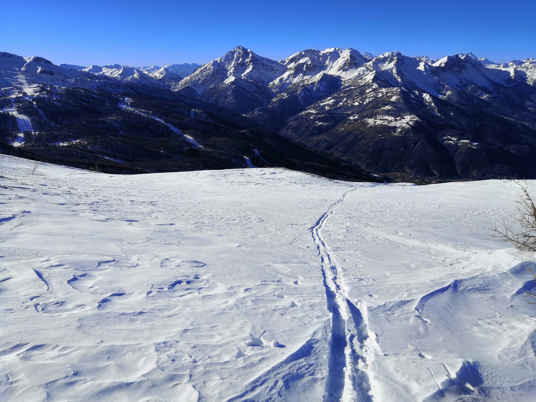
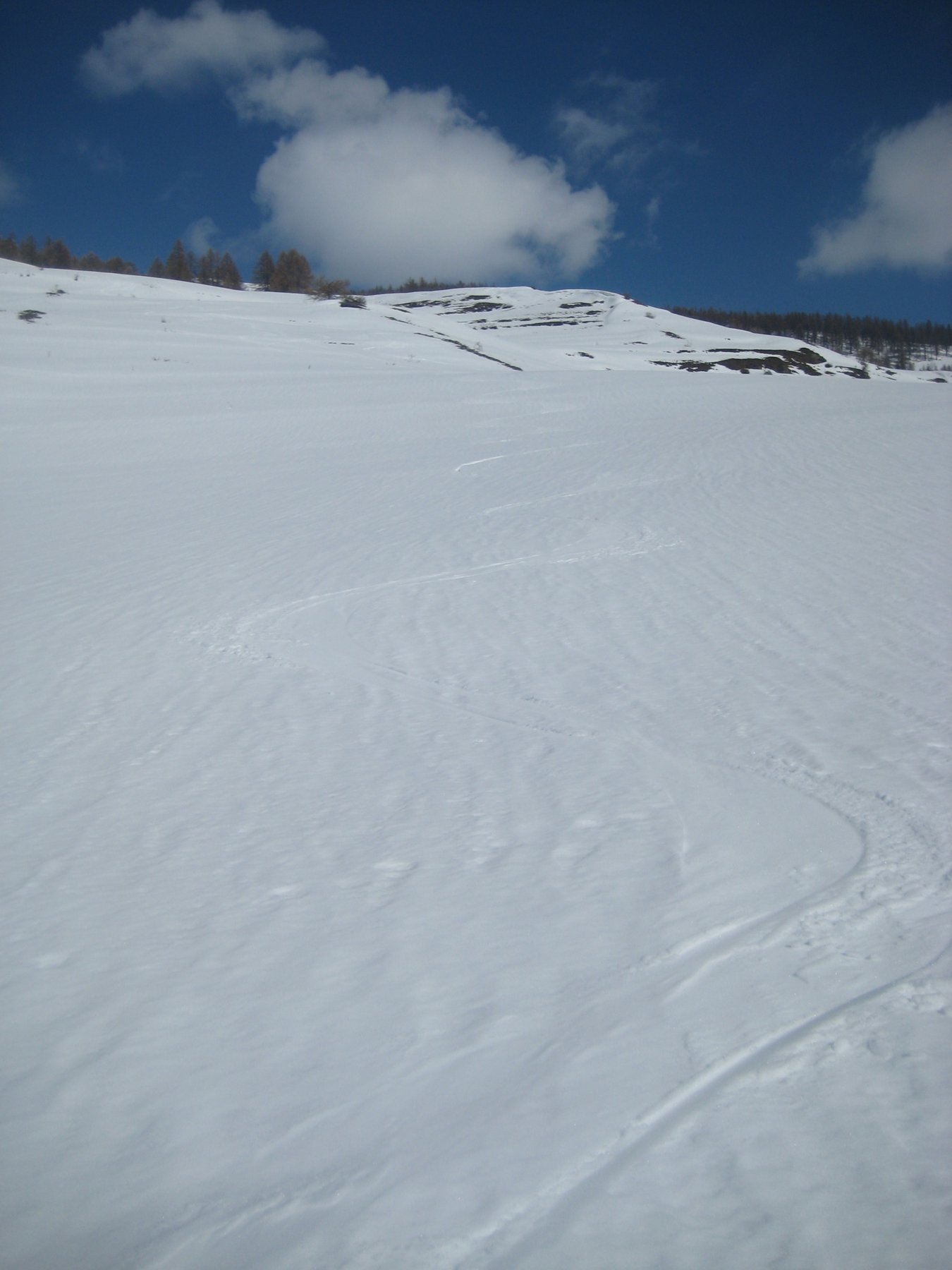
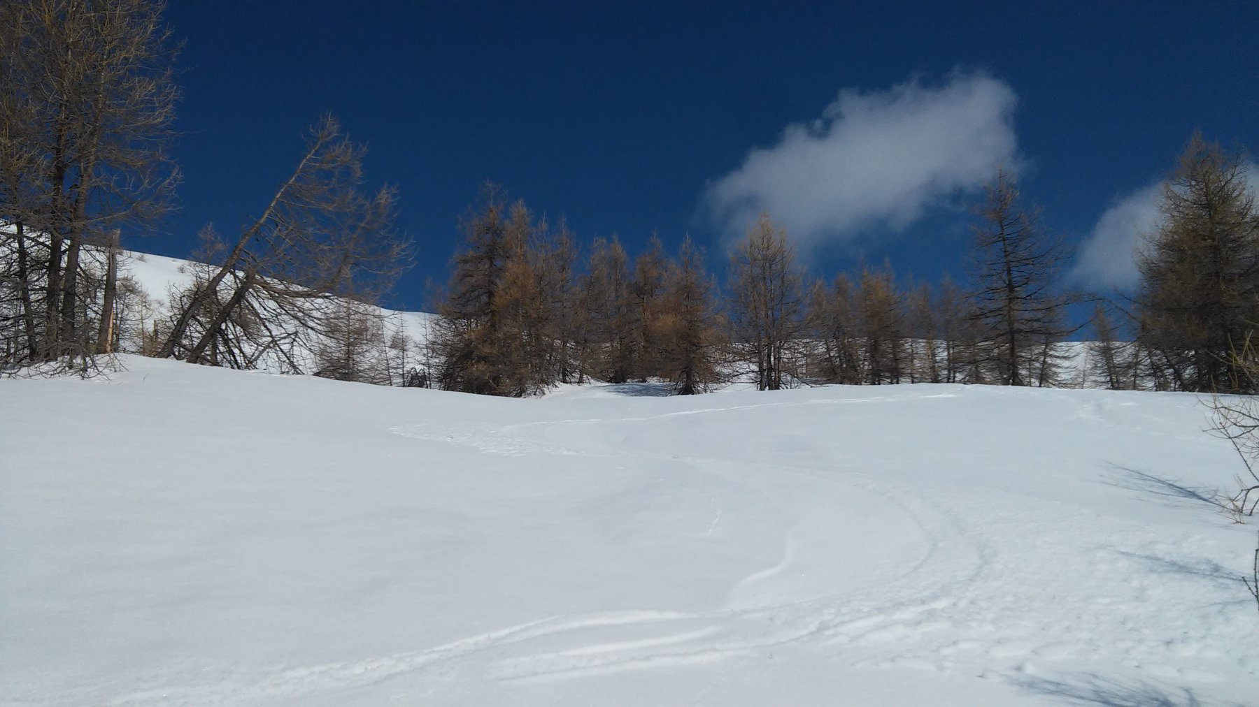
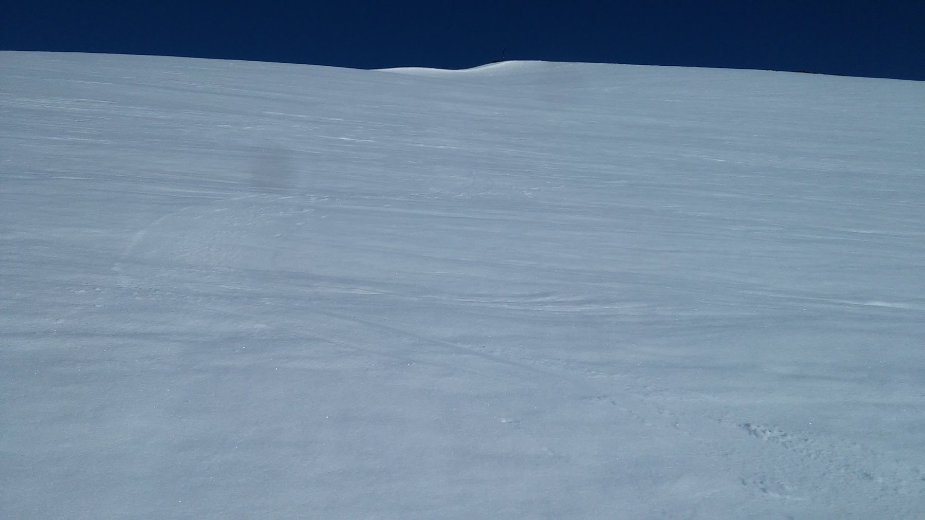
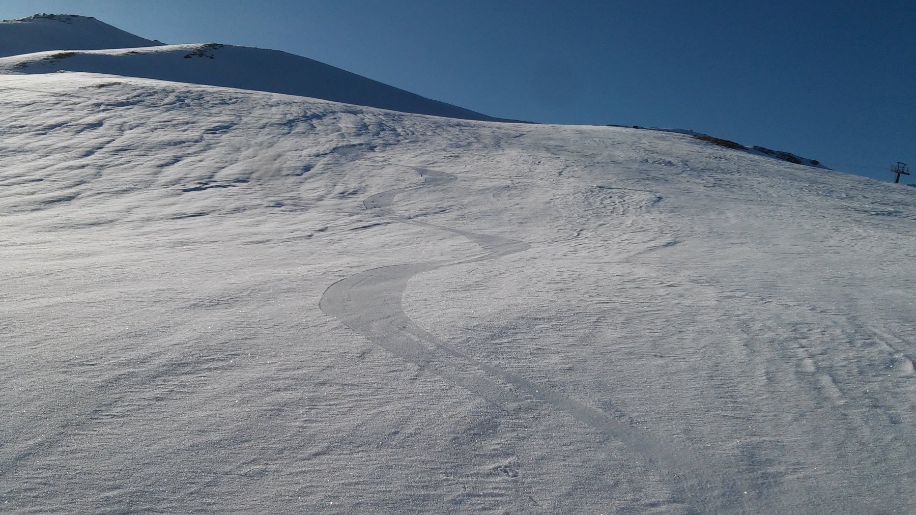
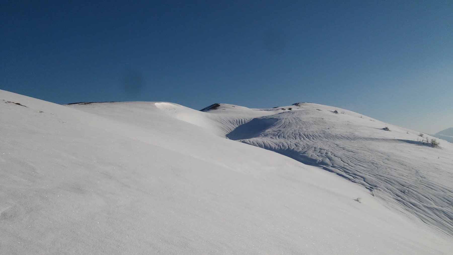
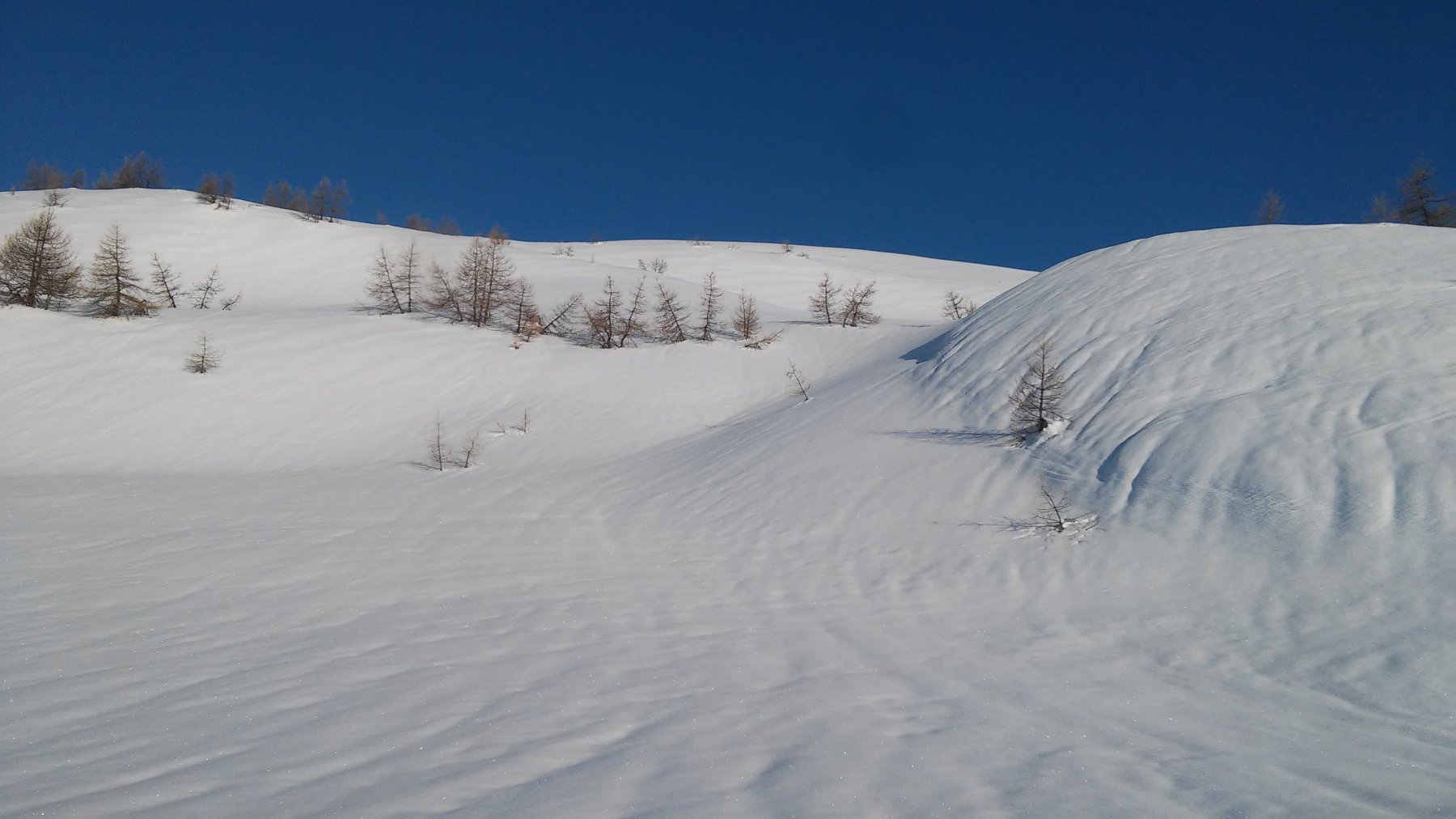
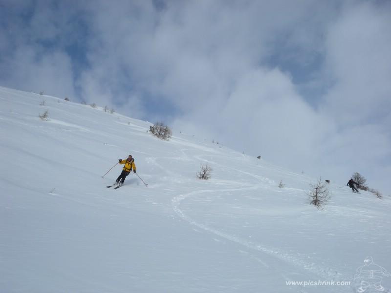
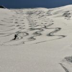
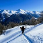
ci si abbassa dapprima verso est a a due caratteristiche croci e poi direttamente sul bellissimo pendio sottostante puntando verso SSO alla confluenza del vallone che origina poi il Rio Pomerol. Si raggiunge una caratteristica “goletta” che conviene passare sulla sx. orografica per poi doppiarla e ripassare sulla dx orografica per traversare il Rio su di un ponticello e raggiungere i caratteristici ruderi della località Rif a q. 1820 m. Da qui senza più seguire il solco del Rio Pomerol si scollina leggermente verso dx (scendendo) raggiungendo i bei prati sopra Soucheres hautes 150 metri a valle dell’auto
Variante (MS): si sale con il percorso classico sul Moncrons. A seconda delle condizioni del manto si scende sul versante di Sauze portandosi al colle di Costa Piana. Dal colle, per dorsale, si risale facilmente alla cima del Genevris (faro degli Alpini). E’ possibile proseguire fino alla quota 2545 m. Discesa: per ampi pendii ridiscendere al colle di Costa Piana, dal quale si risale o per dorsale o per il pendio sceso precedentemente sul Moncrons, dal quale per percorso classico si ritorna a Villardarmond.
- Cartografia:
- IGC 1:50.000
- Bibliografia:
- Valli Pinerolesi
Nelle vicinanze Mappa
Itinerari
15/02/2026 TO, Pragelato D+ 932 m MS Sud-Est
Moncrons (Punta di) da Granges
 0m
0m
28/01/2023 TO, Pragelato D+ 1250 m MS Nord-Ovest
Morefreddo (Monte) da Pragelato per il Clot de la Soma e discesa su Seytes
 1.1Km
1.1Km
02/01/2026 TO, Pragelato D+ 1455 m BS Nord-Ovest
Gran Miuls (Monte) da Pragelato
 1.1Km
1.1Km
21/03/2026 TO, Pragelato D+ 1175 m BS Ovest
Vallonetto (Punta) da Pragelato, giro del Vallone Mendia
 1.1Km
1.1Km
26/01/2014 TO, Pragelato D+ 940 m MS Nord-Ovest
Saume (Cote de la) quota 2412 m da Soucheres Basses per il vallone del Chardonnet
 1.1Km
1.1Km
04/04/2024 TO, Pragelato D+ 1250 m MS Nord
Morefreddo (Monte) da Pragelato per il Clot della Soma e il versante nord
 1.1Km
1.1Km
05/01/2020 TO, Pragelato D+ 1600 m BS Nord
Gran Miuls (Monte) da Pragelato, anello Colle del Pis – vallone del Gran Muels
 1.2Km
1.2Km
16/03/2026 TO, Pragelato D+ 1065 m BS Nord-Ovest
Ciapel (Punta) da Pragelato
 1.2Km
1.2Km
25/02/2026 TO, Pragelato D+ 720 m MS Sud-Est
Moncrons (Punta di) da Allevé
 1.2Km
1.2Km
08/04/2026 TO, Pragelato D+ 1094 m MS Varie
Gran Costa (Monte) da Pragelato
 1.5Km
1.5Km
Servizi
1.3Km
1.5Km
Casa Alpina Rifugio
Pragelato
1.5Km
Passet Ristorante
Pragelato
2.2Km
La capanna del sole Ristorante
Pragelato
2.2Km
Al Mulino Ristorante
Pragelato
2.6Km
Refugium – ex. Rif. Belotte Rifugio
Pragelato
2.8Km
L’itialette Ristorante
Pragelato
3Km
Mulino di Laval Rifugio
Pragelato
4.3Km
1898 Ristorante
Soucheres-basses
6.1Km