5.1Km
5.1Km
Note
 50m
50m
3Km
3.3Km
3.3Km
3.3Km
3.9Km
4.2Km
4.2Km
50m
50m
3Km
3.3Km
3.3Km
3.3Km
3.9Km
4.2Km
4.2Km
5.1Km
5.1Km
5.1Km
5.1Km
5.8Km
6.3Km
7.8Km
8.3Km
8.4Km
9.5Km
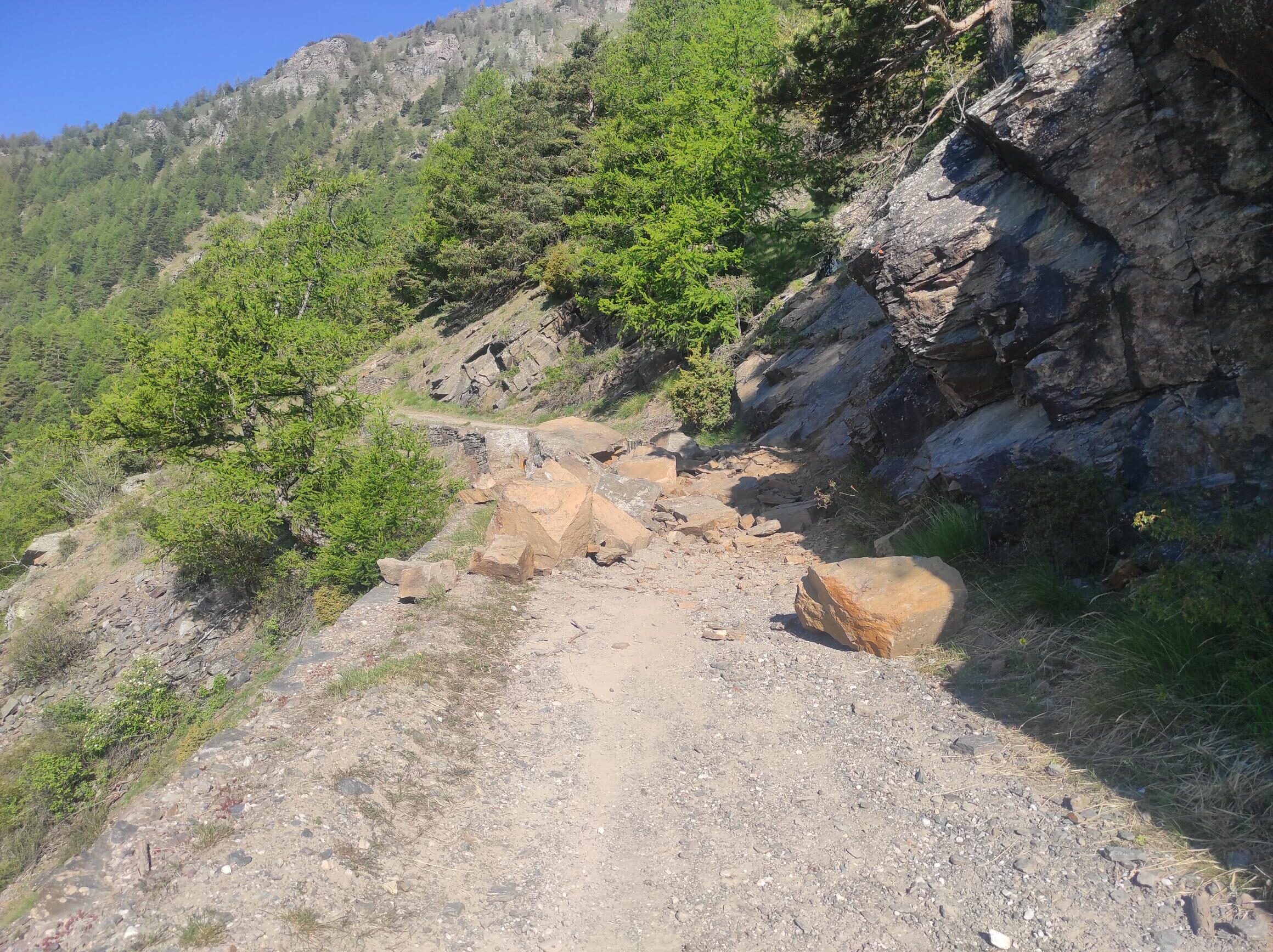
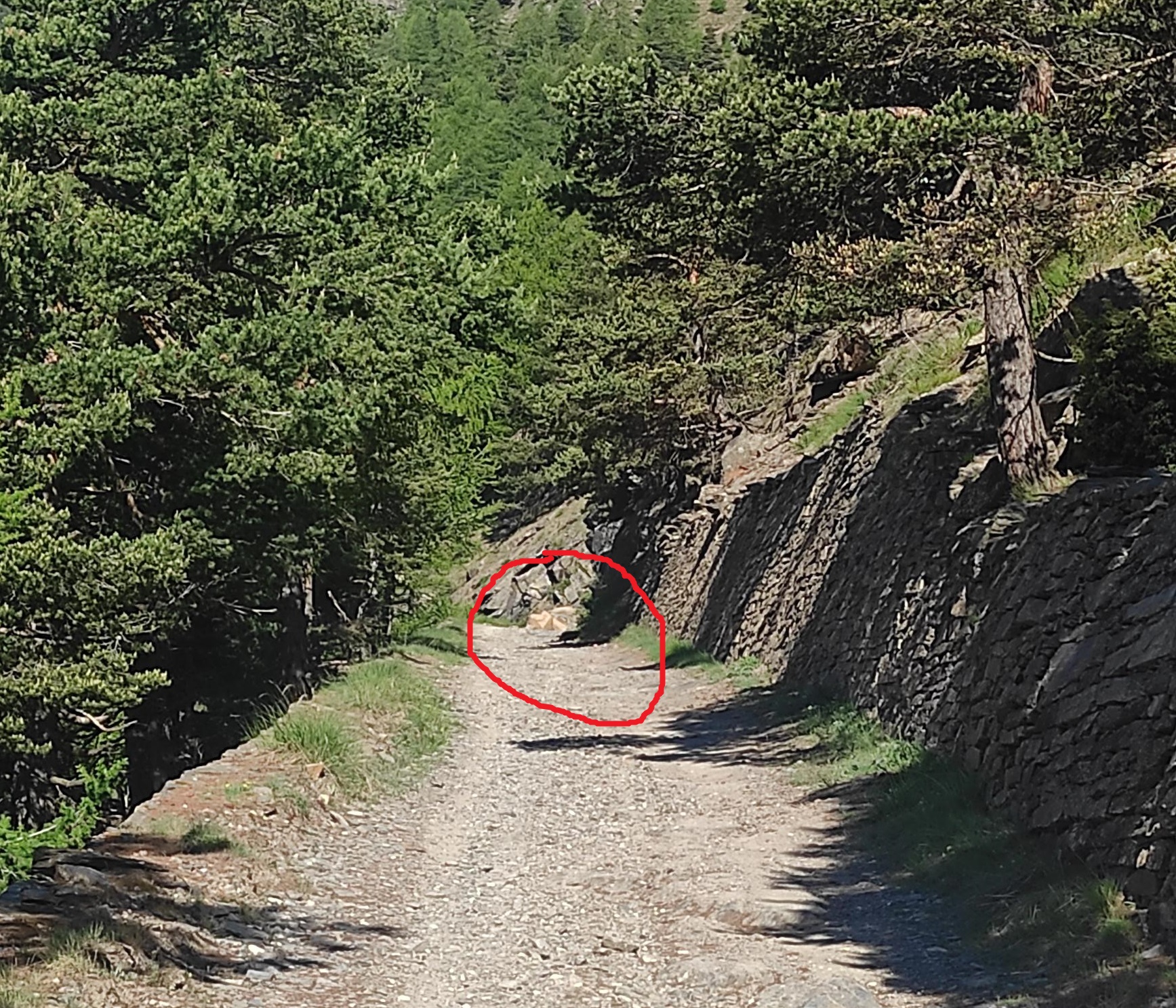
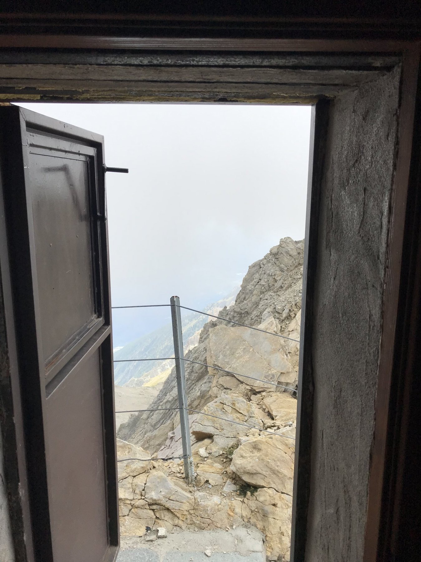
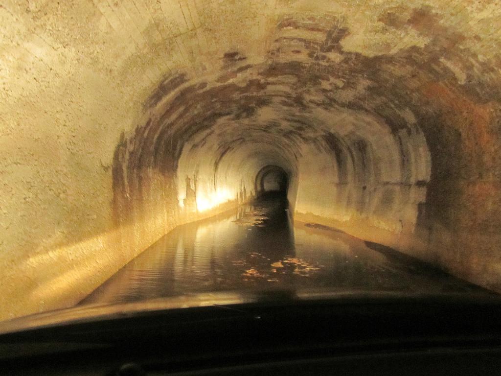
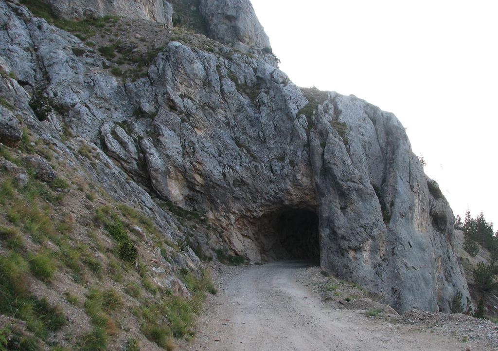
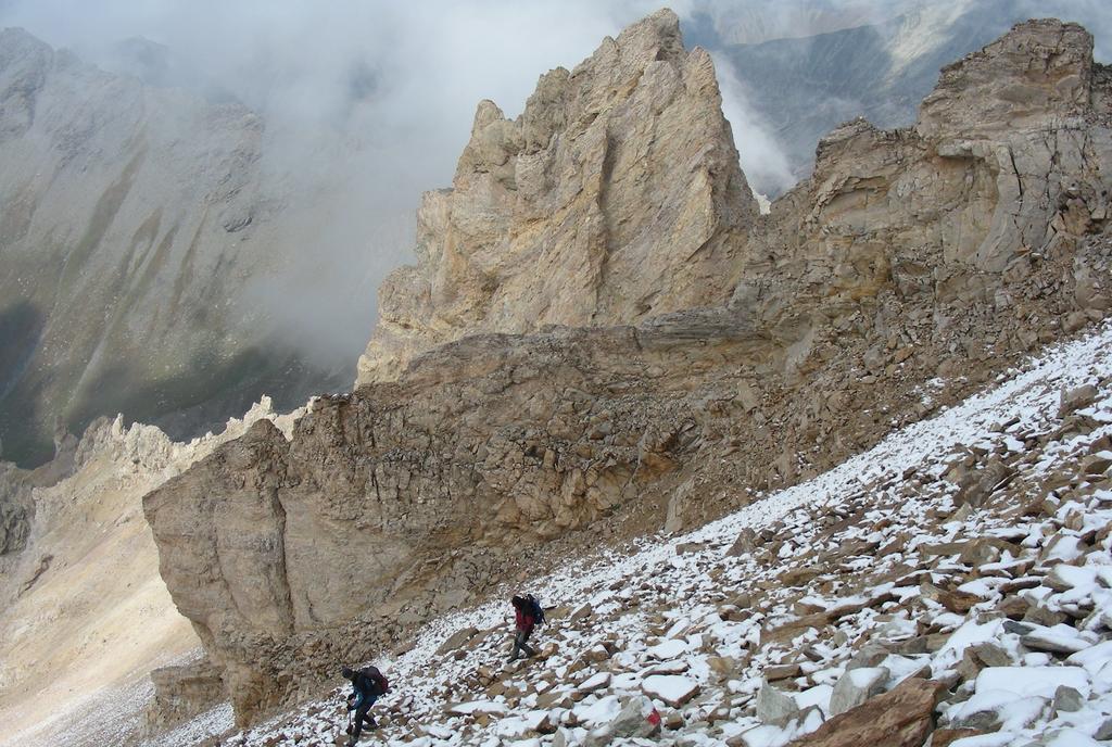
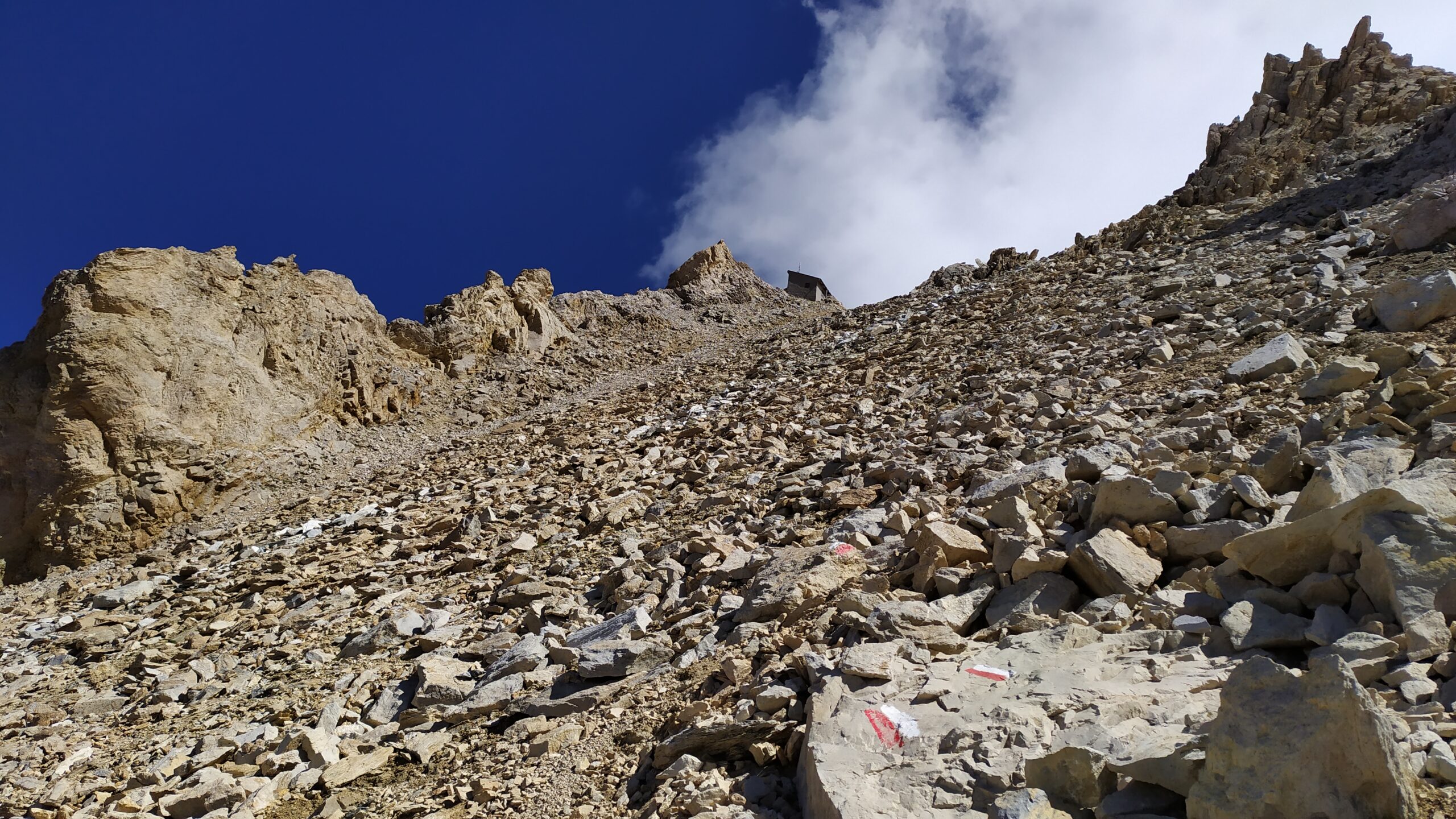
Torcia indispensabile per attraversare la galleria dei Saraceni, il sentiero esterno è franato e non più praticabile.
Avvicinamento
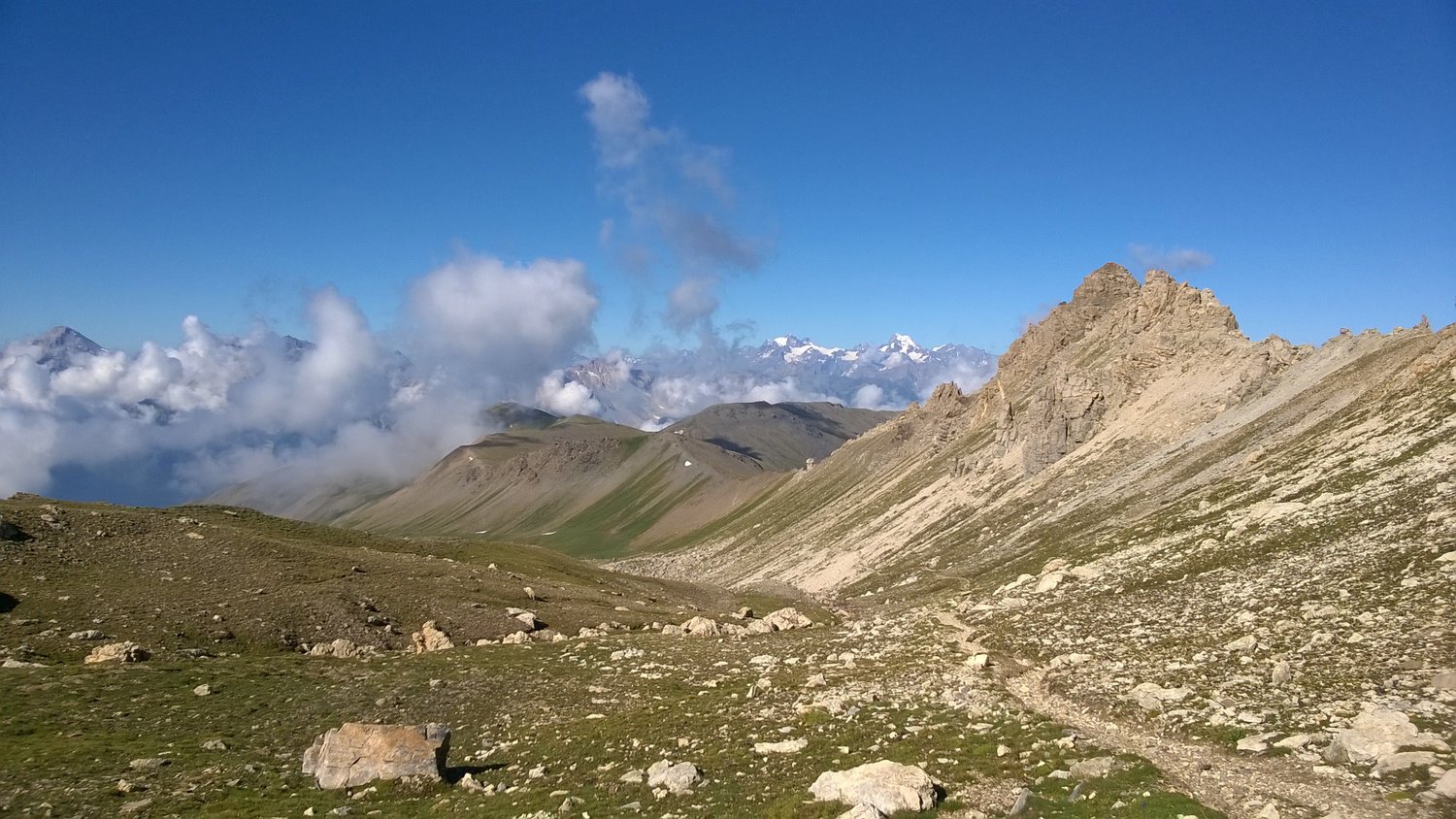
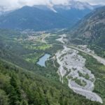
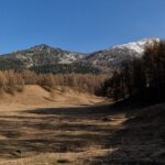
Accesso: dalla SS24 del Monginevro in prossimità di Salbeltrand (prima se si proviene da Susa, dopo provenendo da Oulx) si incontra il bivio in corrispondenza di un tornante, con indicazione Eclause e Grange della Valle. Si segue la strada in salita per circa 3 km, al bivio a 1253 m continuare a sinistra raggiungendo Moncellier 1332 m e si continua per la sterrata fino al Colletto Pramand 2087 m (11 Km). La strada in base alle annate ed al periodo è in discrete condizioni ma sconsigliabile ai normali automezzi.
Descrizione
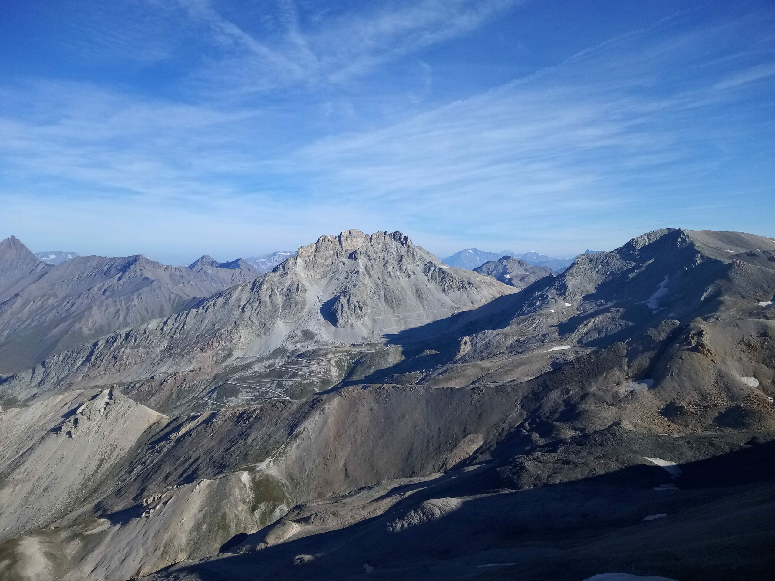
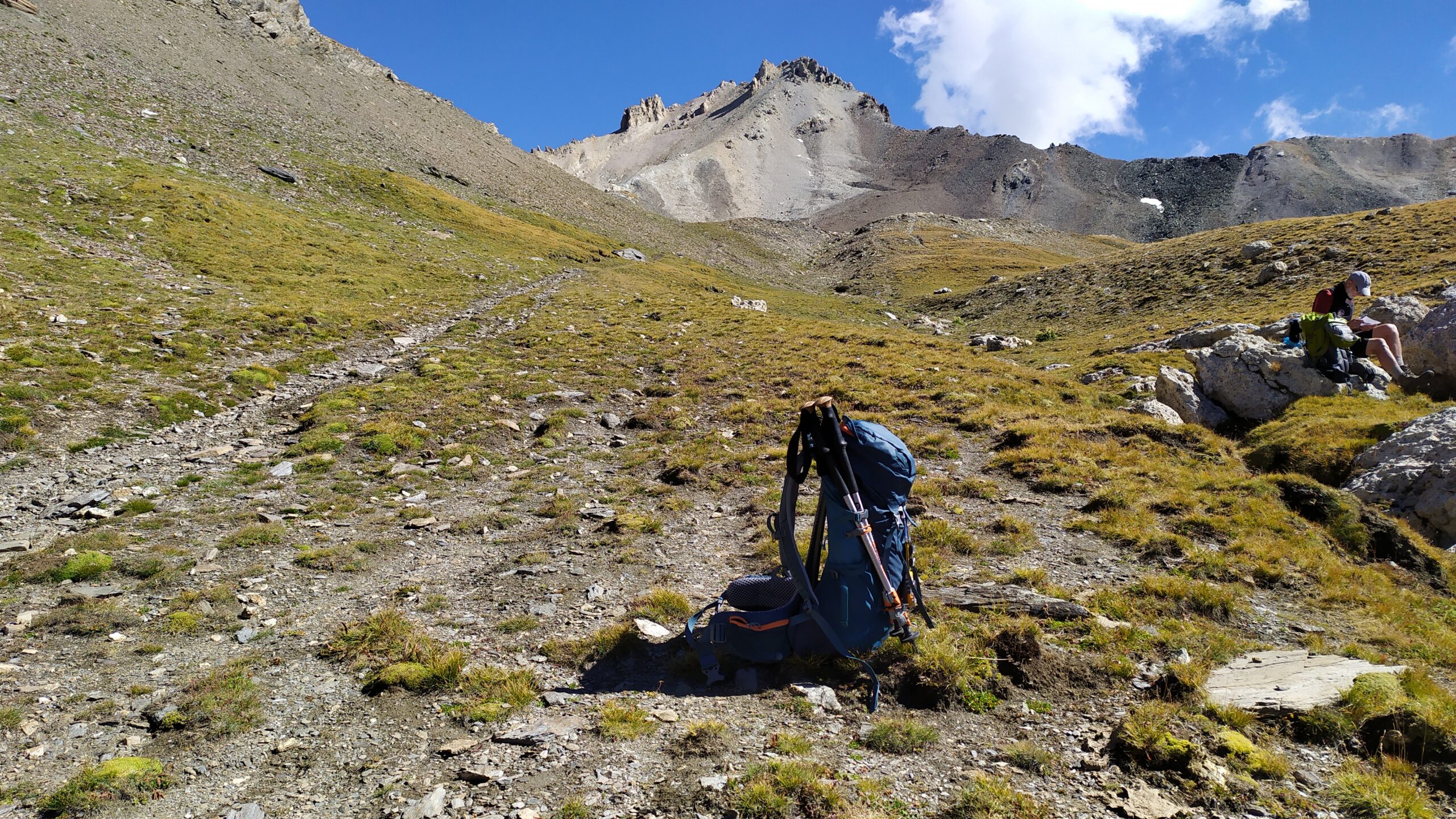
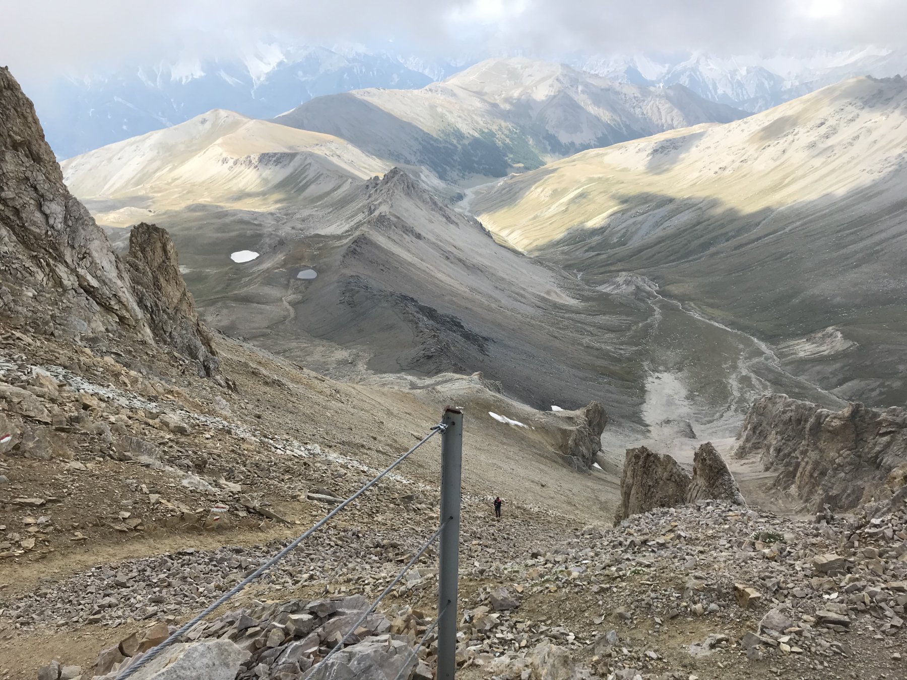
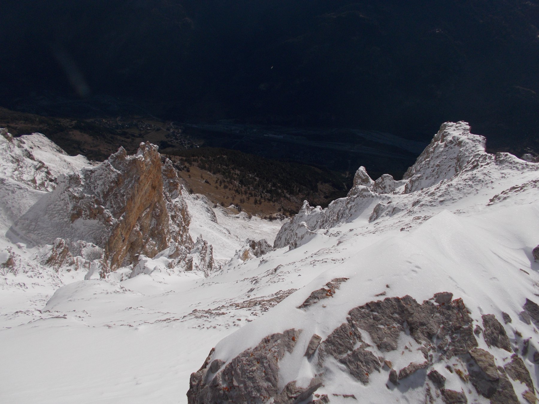
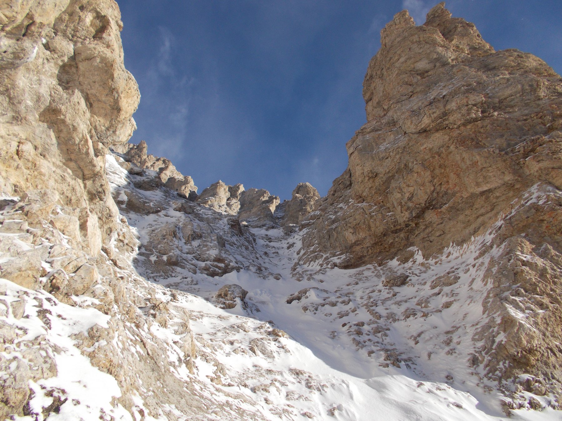
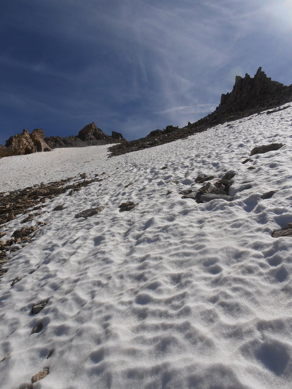
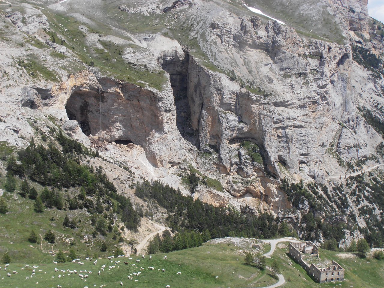
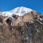
Dal Colletto Pramand si prosegue sulla strada fino alla Galleria dei Saraceni, che si può attraversare (necessaria torcia) mentre il sentiero che un tempo permetteva l’aggiramento della galleria sull’esterno, è ormai franato e non più praticabile.
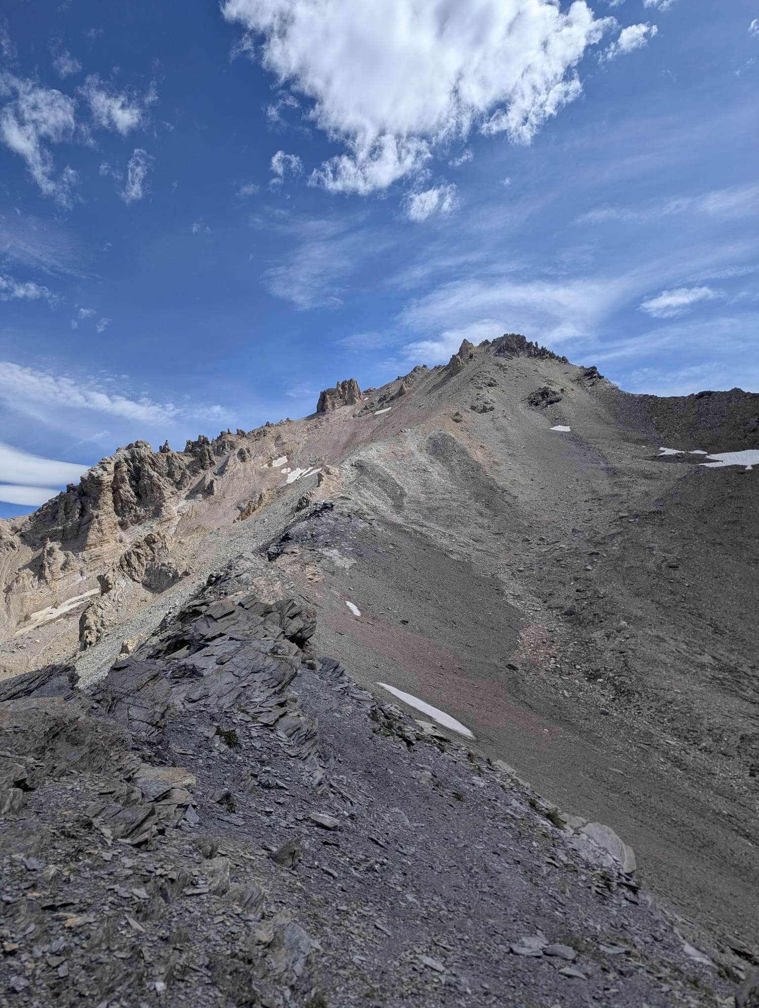
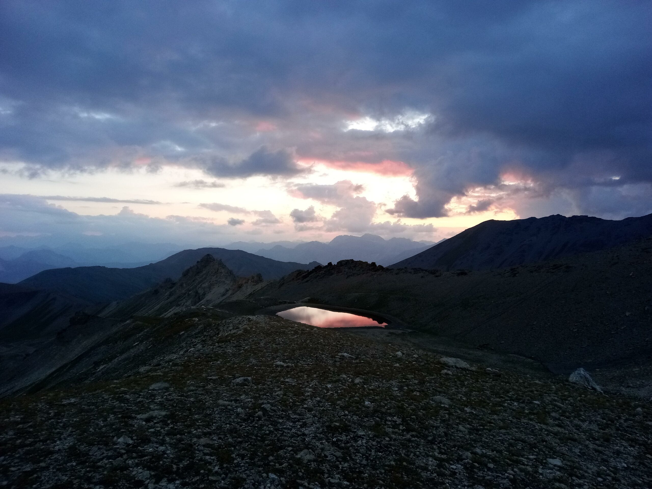
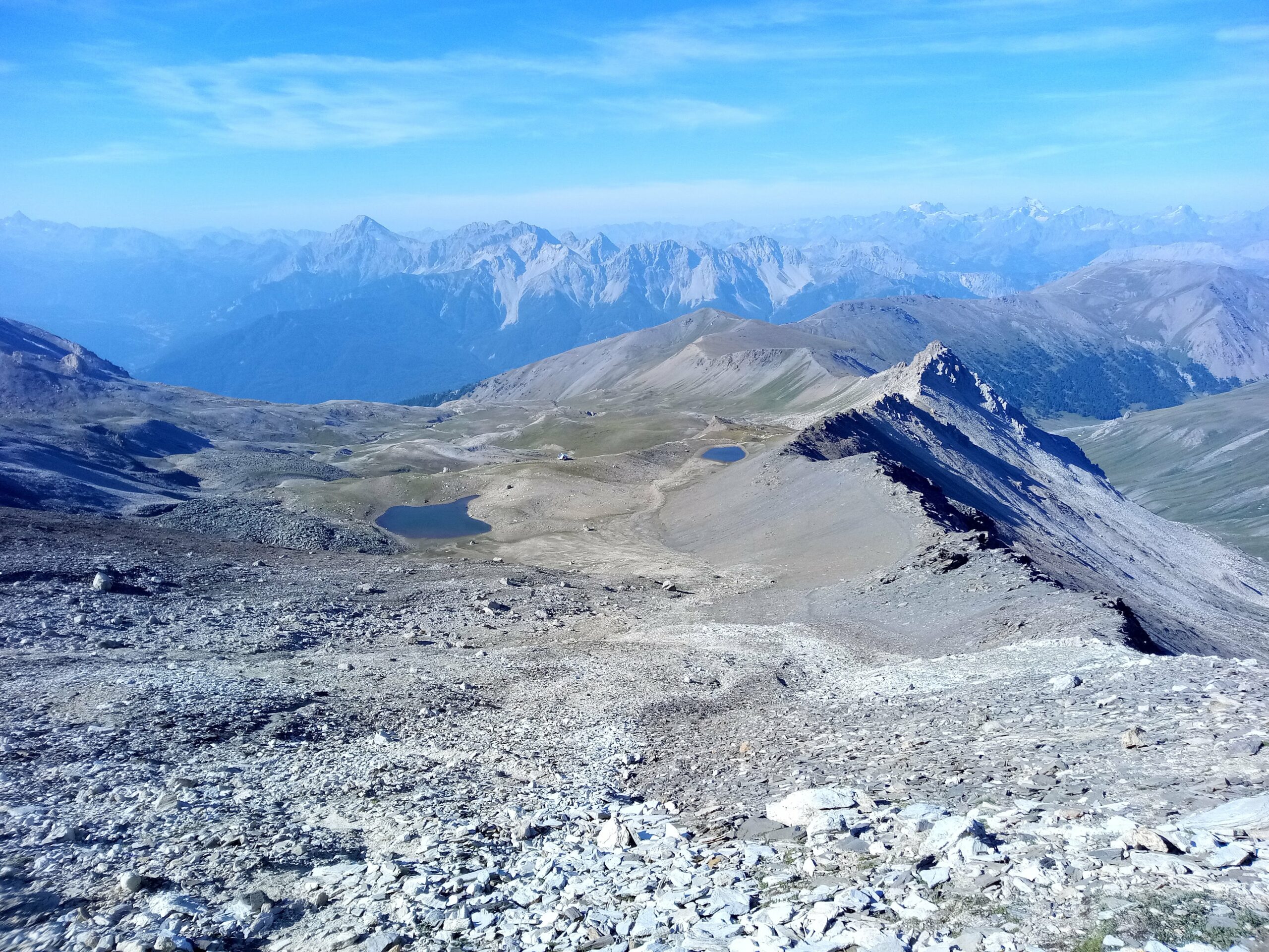
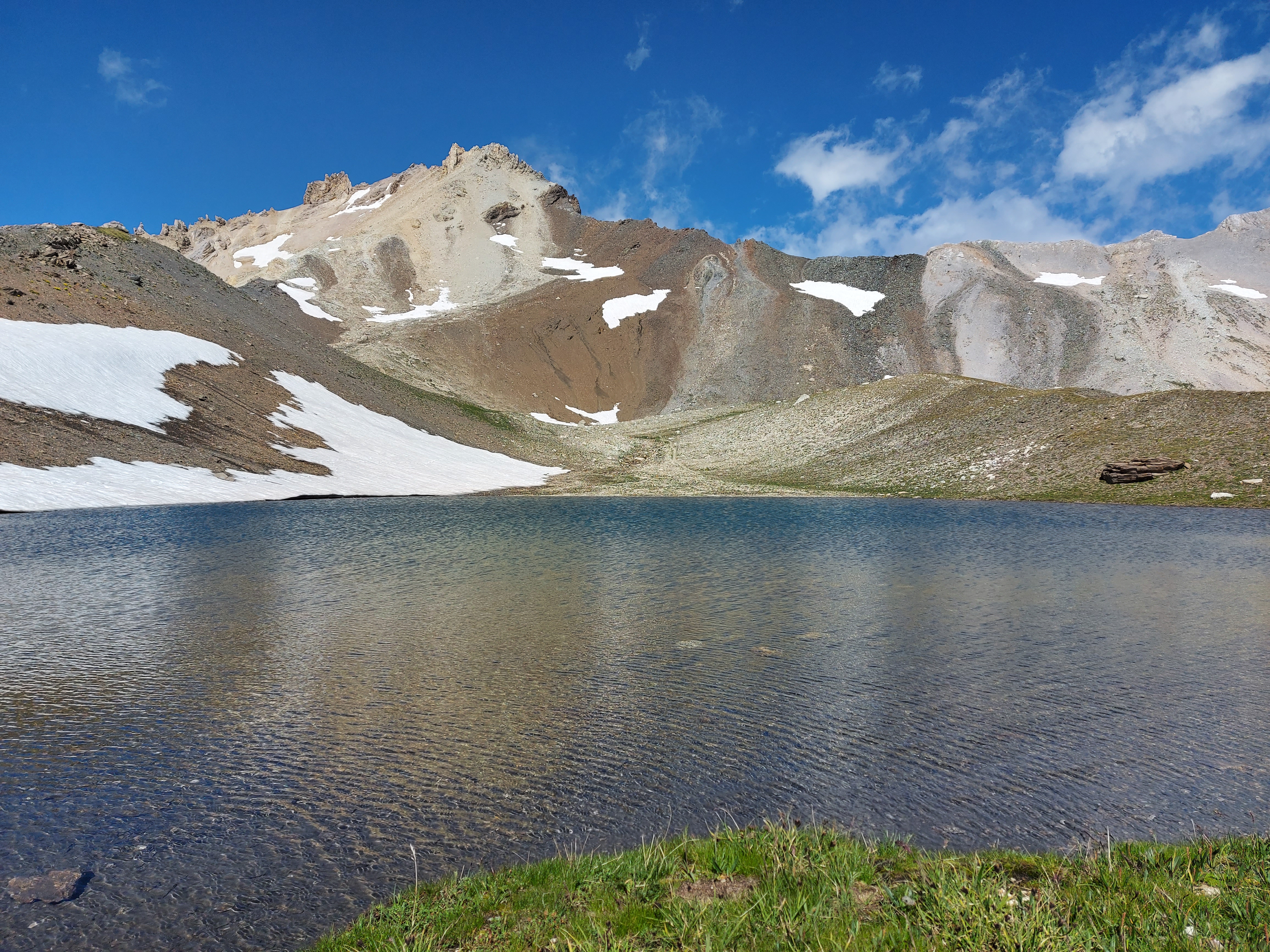
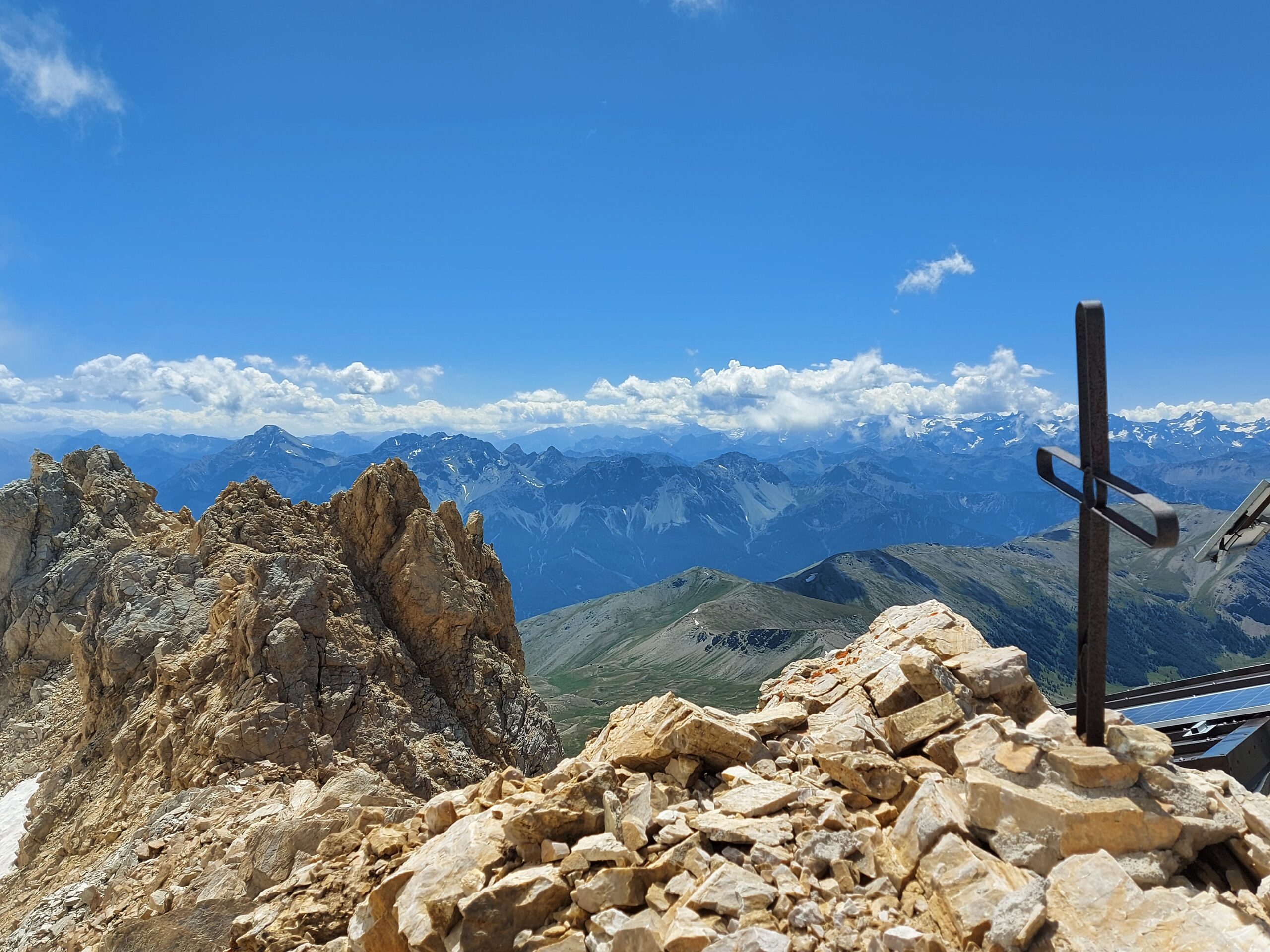
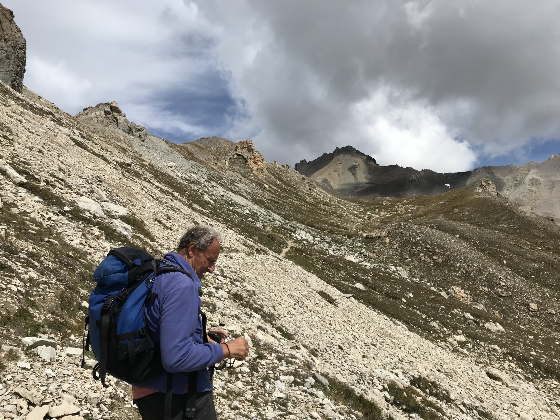
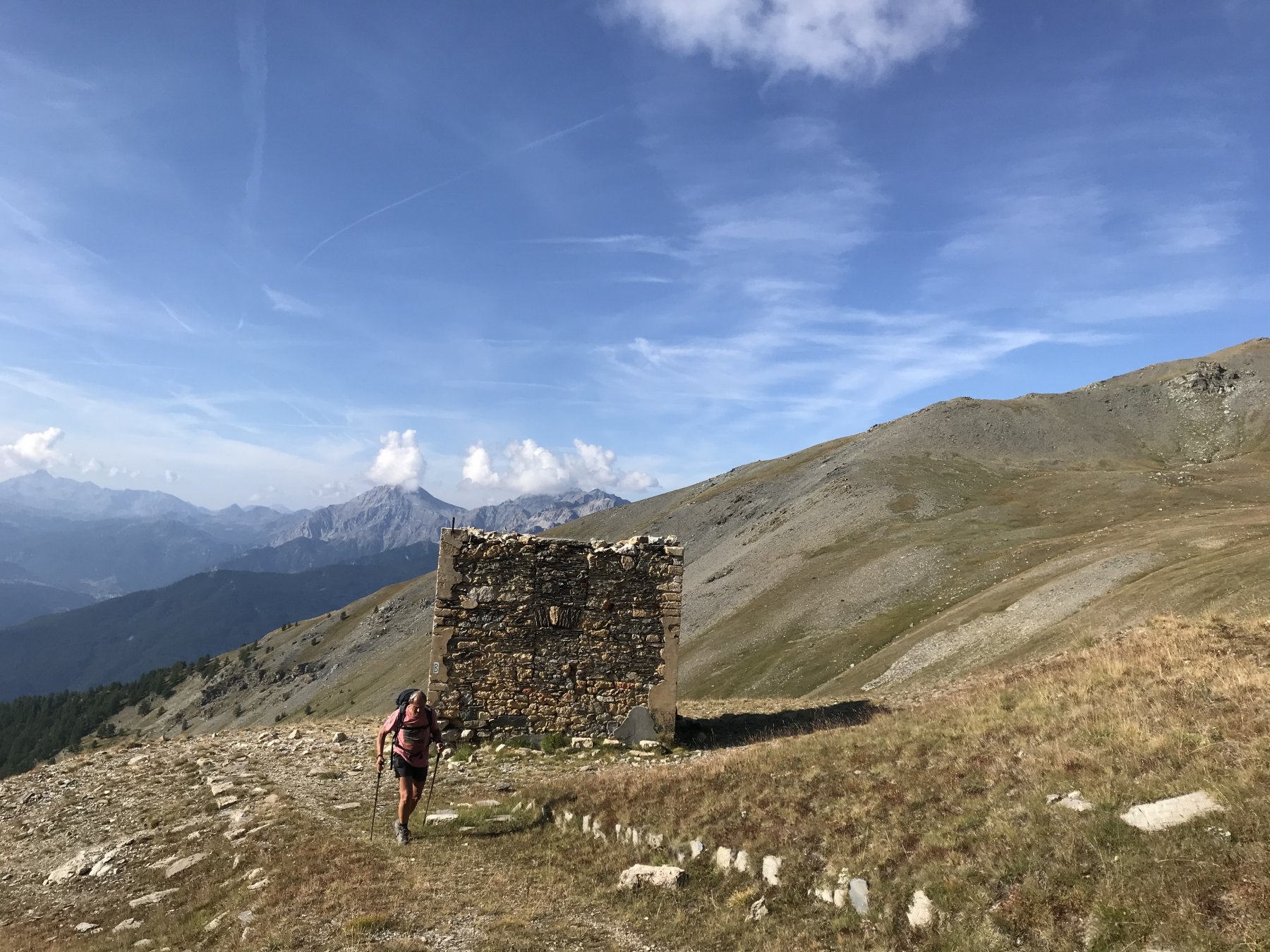
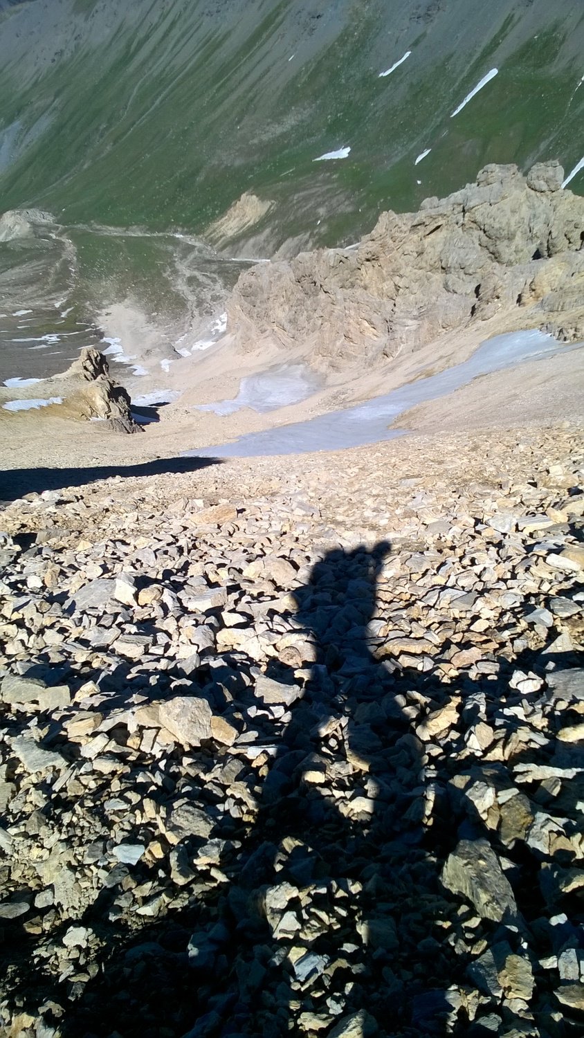
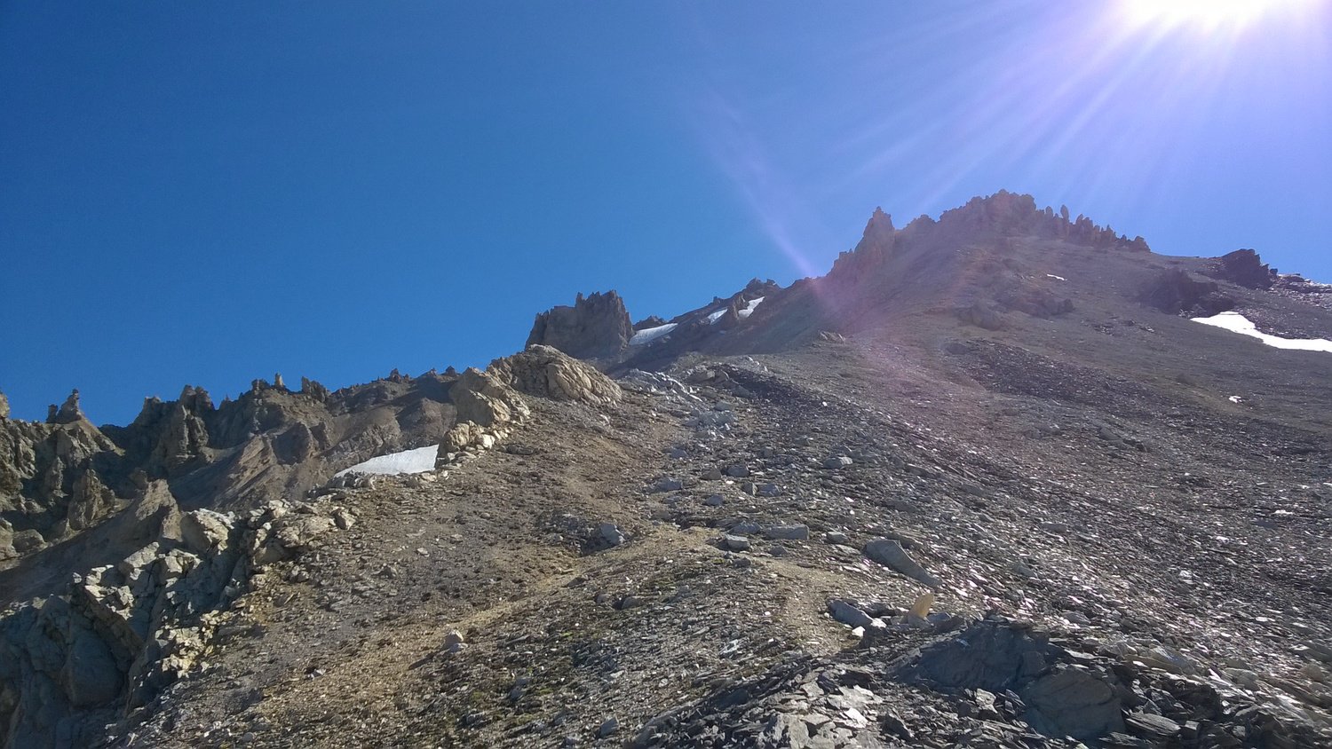
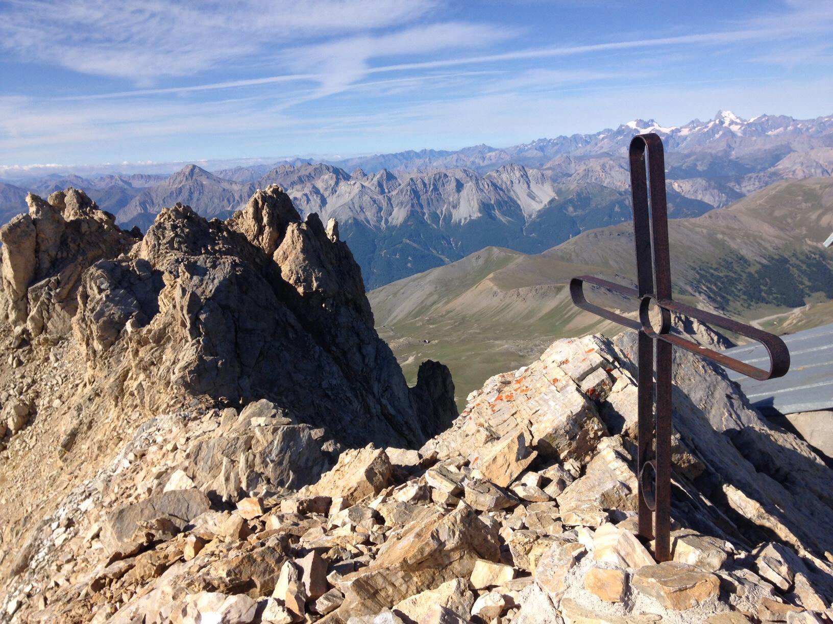
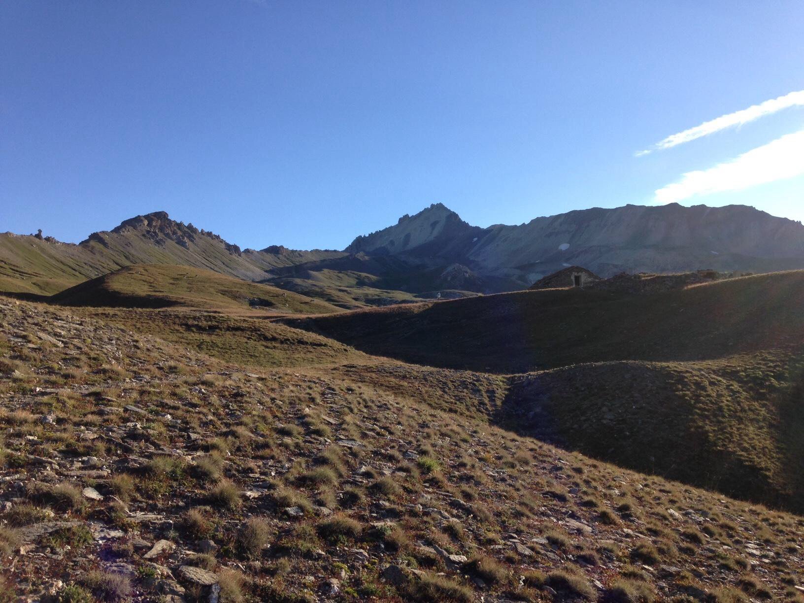
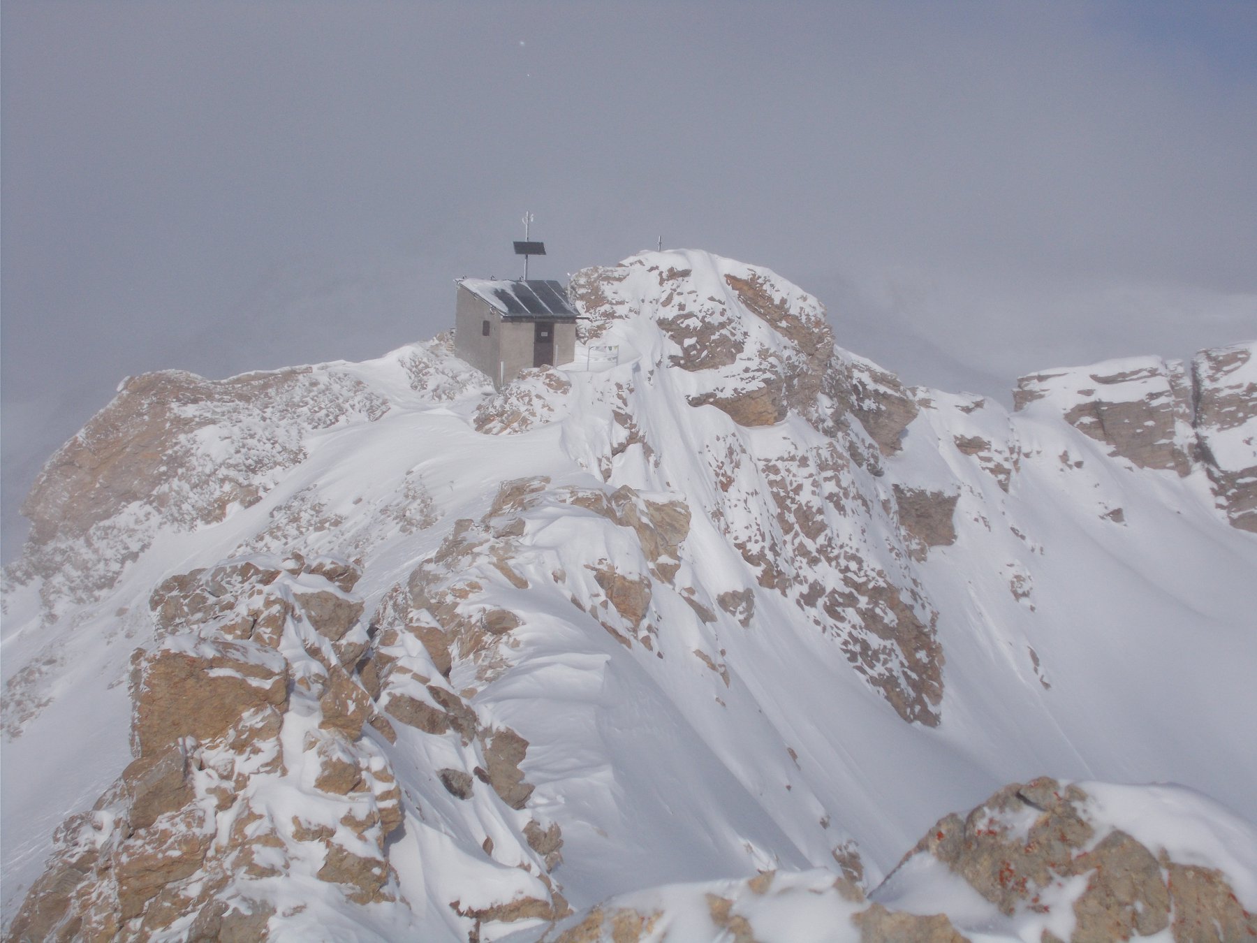
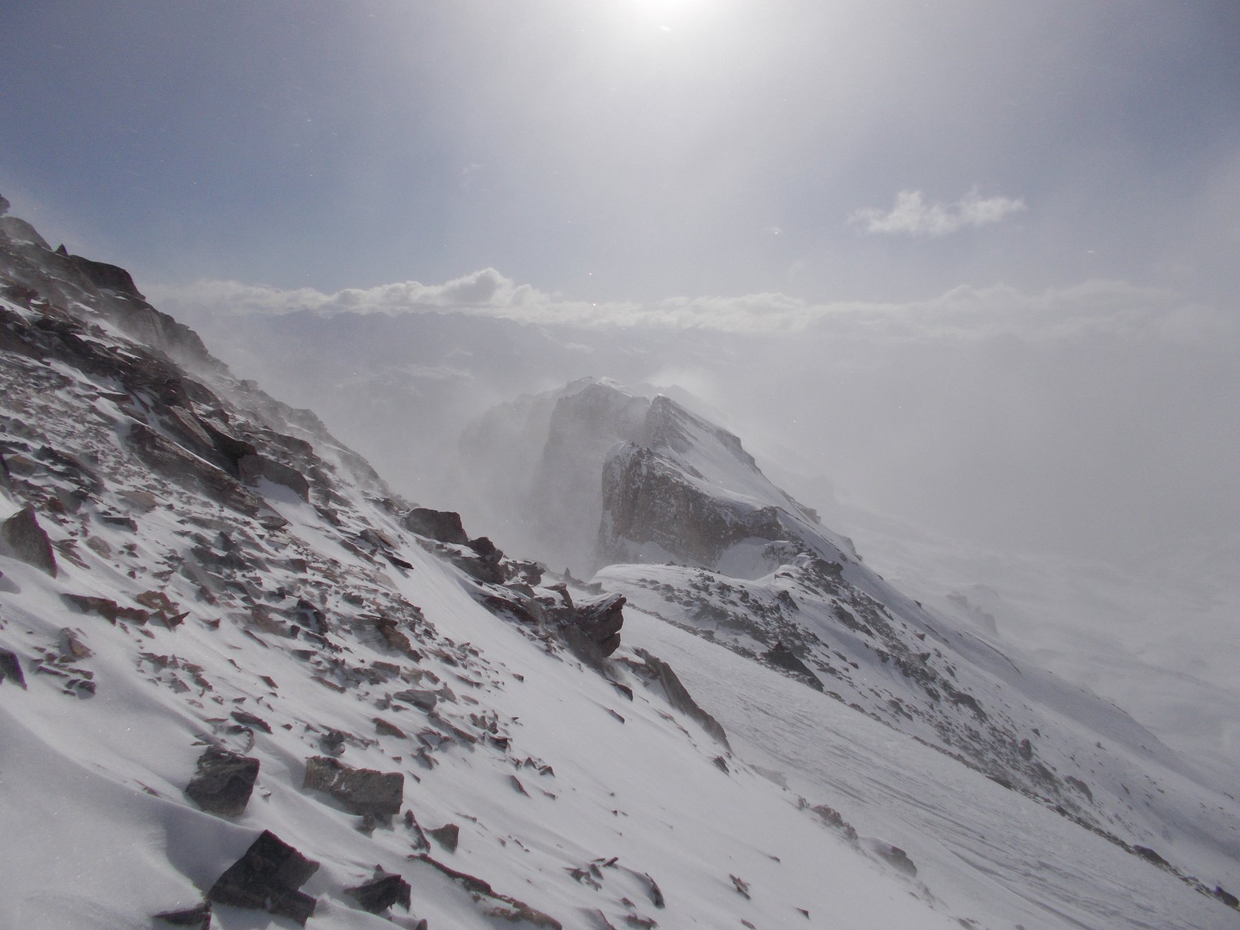
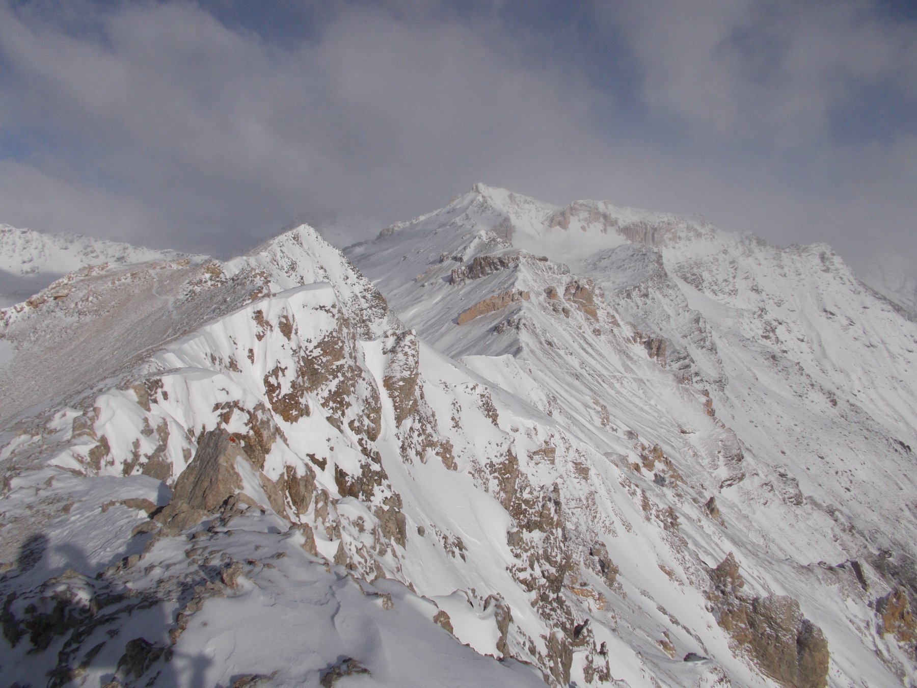
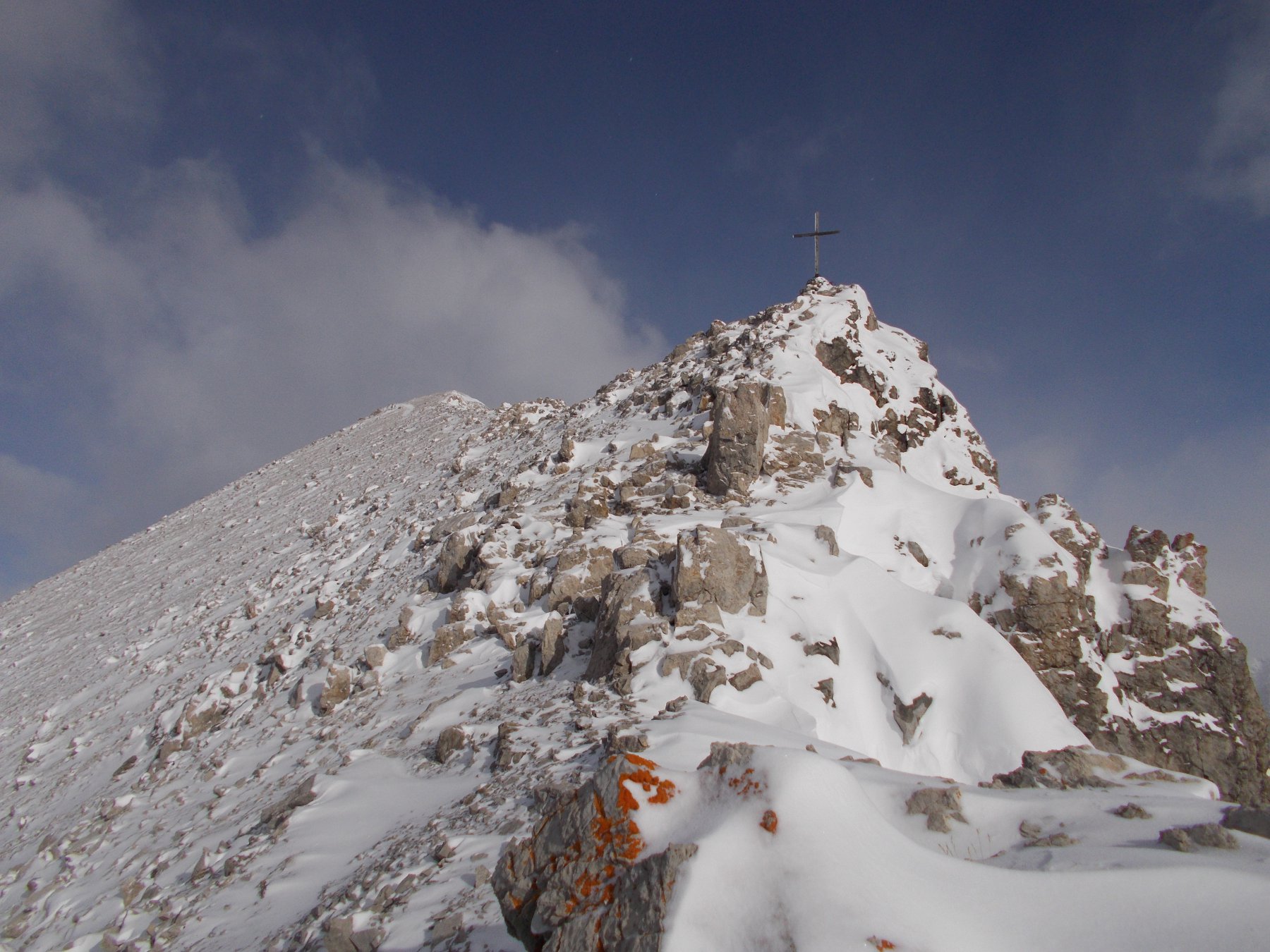
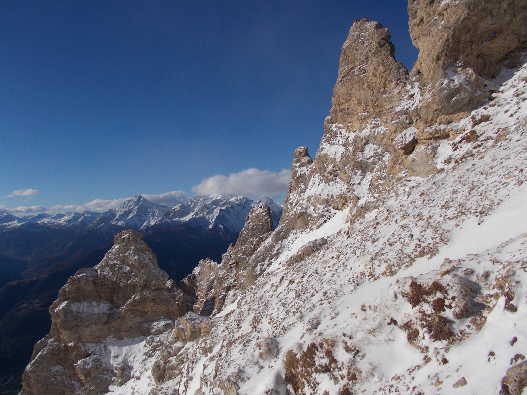
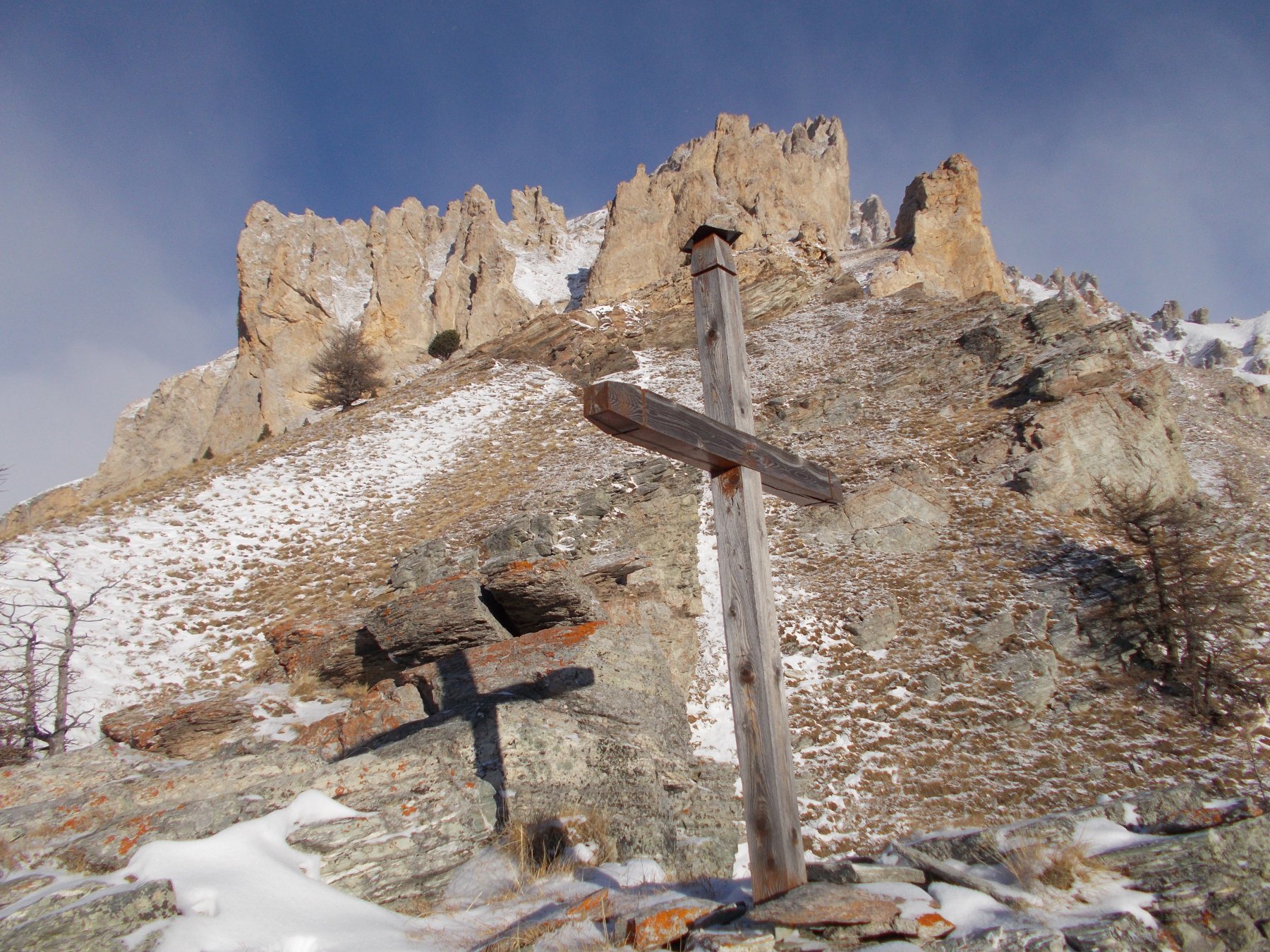
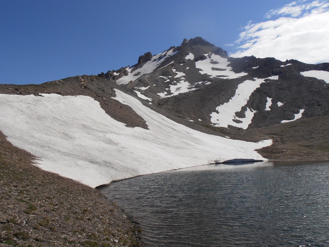
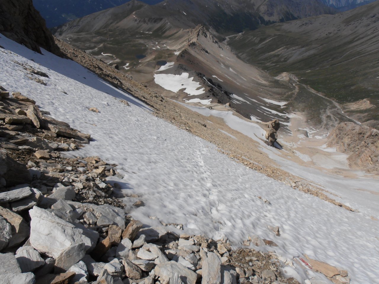
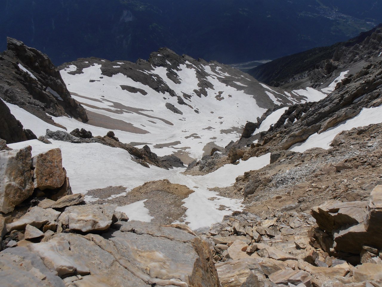
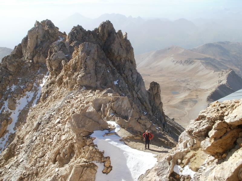
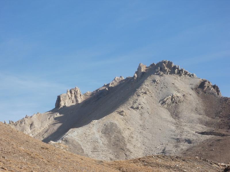
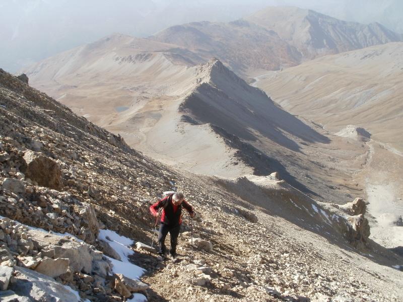
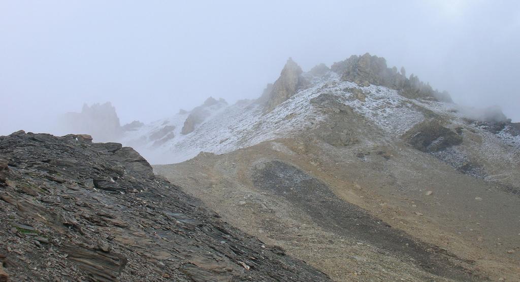
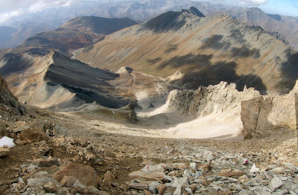
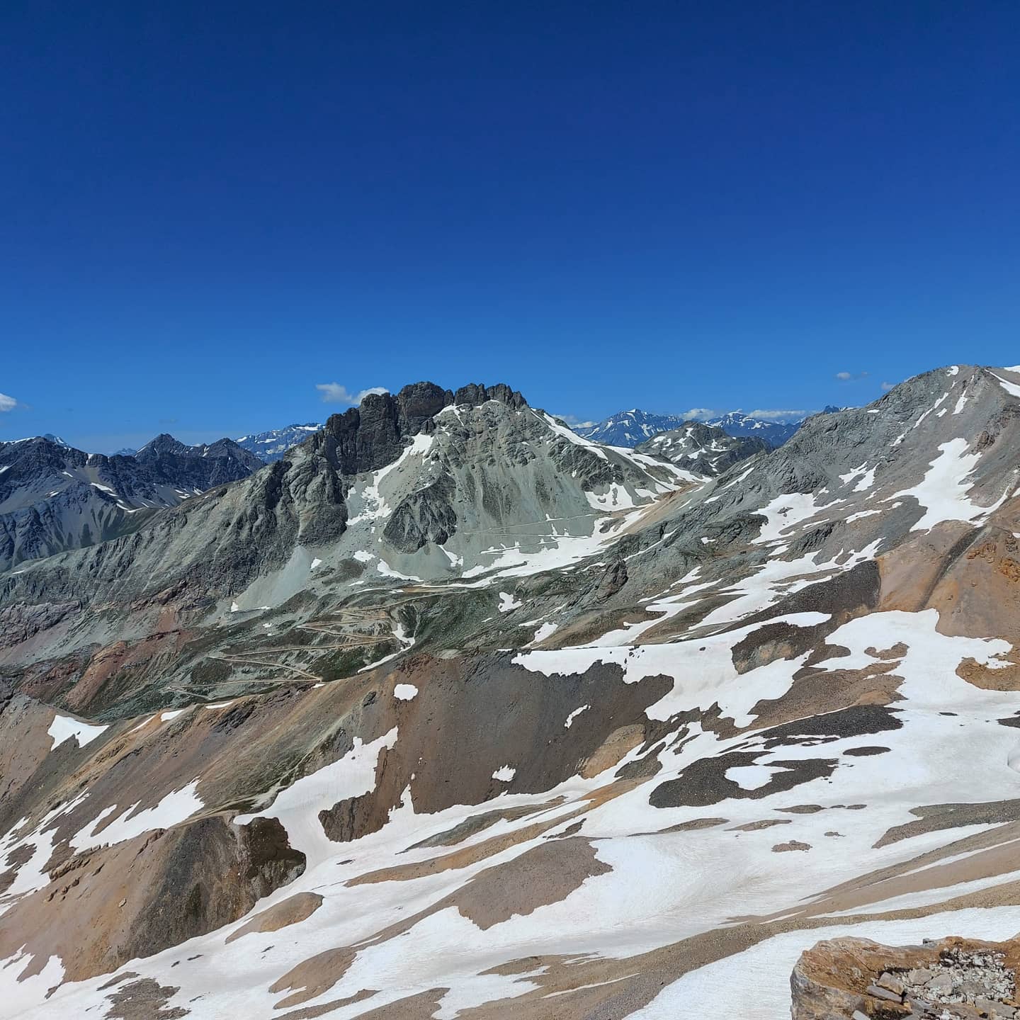
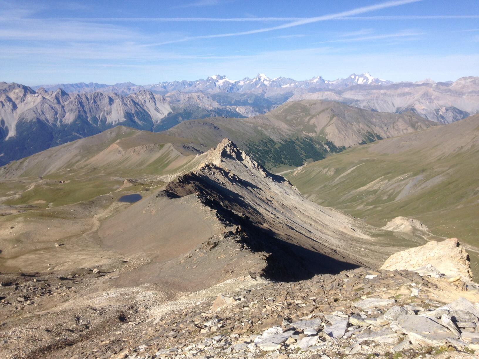
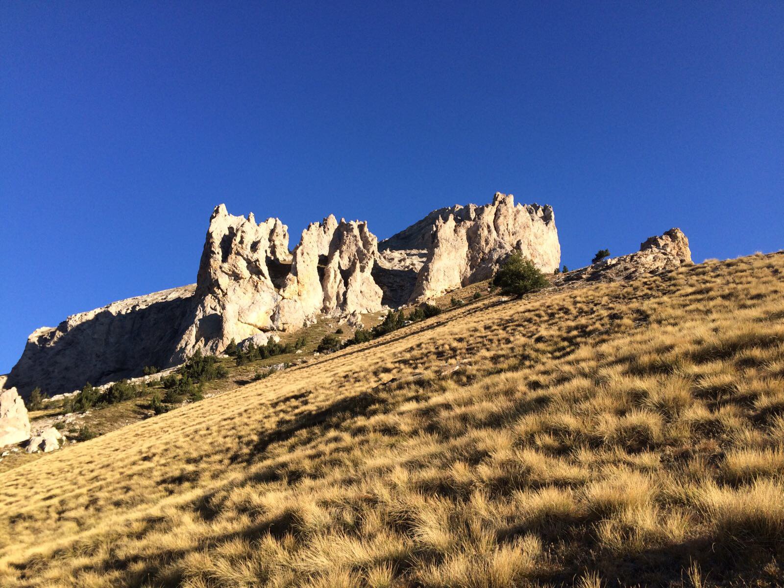
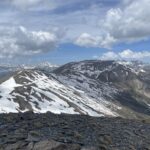
All’uscita della galleria raggiunti dei ruderi, si risalgono le chine erbose a serpentine e ci si dirige verso le due casermette (visibili dalla macchina). Alle casermette si prende a sx su per cresta, poi ci si sposta sotto il filo superando un ripiano con dei laghetti ed il nuovo Bivacco Stefano Berrone (collocato nel 2023). A 3000 m circa si risale nuovamente sul filo di cresta, ed infine ci si sposta sul versante sud-ovest e con alcune serpentine si raggiunge una specie di ricovero, aggirandolo a sx si può salire in vetta ove vi è collocata una piccola croce.
Alternativa di salita da Beaume (Oulx) 1065 m
Chi non fosse provvisto di mezzi fuoristrada per raggiungere il forte Pramand ma ha buona gamba, può avvalersi della seguente variante dal dislivello complessivo di 2150 m comunque fattibilissimo, visto che il sentiero della Serre du Kin tira su dritto ed è quindi molto redditizio.
Si parcheggia l’auto in uno spiazzo sulla ss335 di Bardonecchia nelle immediate vicinanze del bivio per Beaume 1065 m, posto a poche decine di metri dal ponte che attraversa la Dora per Oulx (non lasciarsi impressionare dai tempi indicati sul cartello di legno per raggiungere il Vallonetto…). I pochi parcheggi dell’abitato di Beaume sono a disposizione degli abitanti.
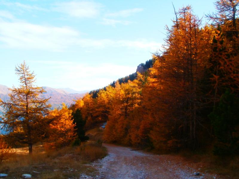
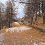
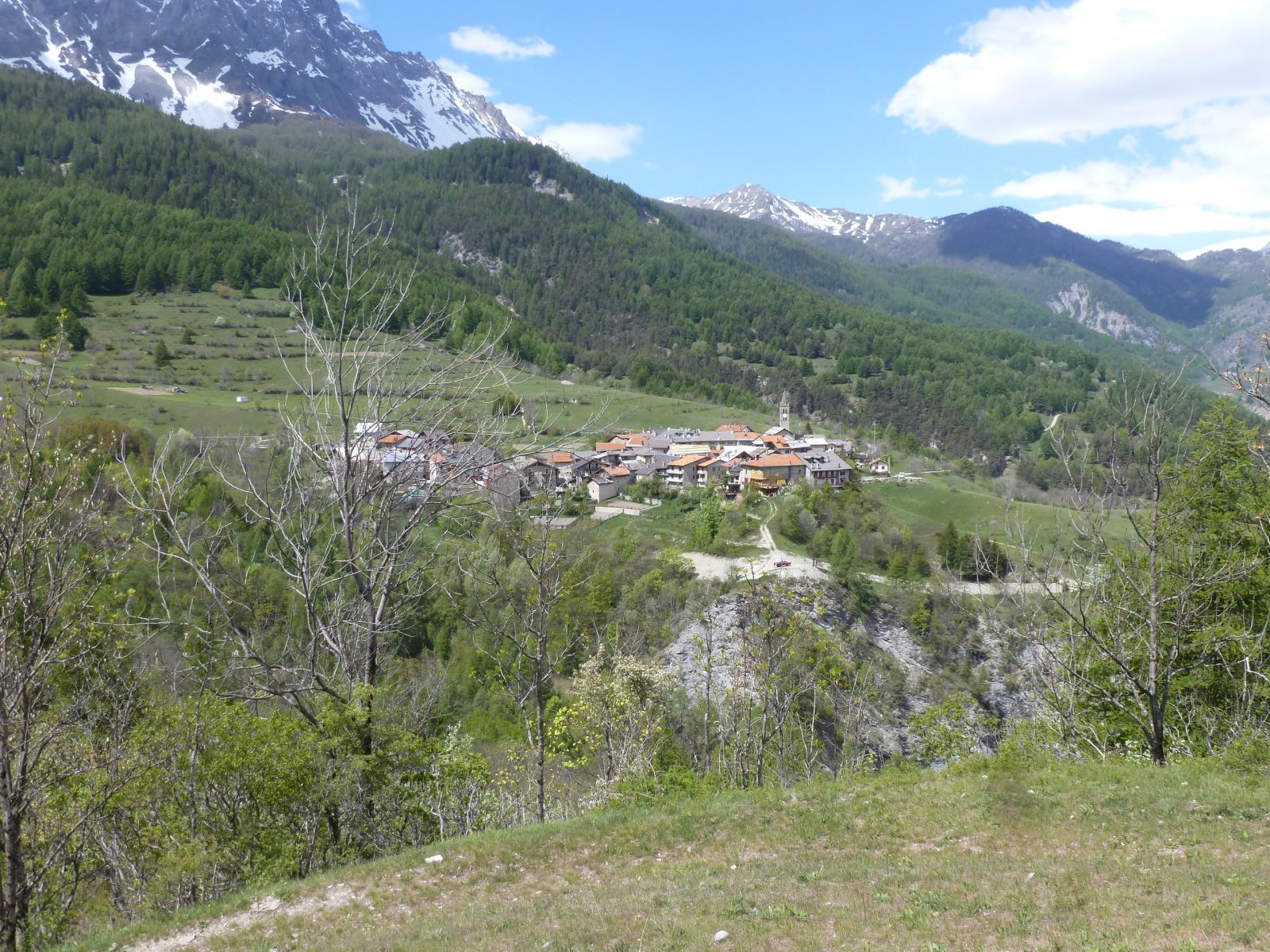
Si risale la stradina asfaltata sino a Beaume e giunti alla fontana, seguire le indicazioni in direzione del Sentiero Balcone. Giunti al bivio a circa 1400 m, (cartelli) continuare a sinistra seguendo le indicazioni per Pramand e Monfournel (sentiero 734). Il sentiero prosegue ripido per poi giungere ad un altro bivio con cartelli, dove si abbatte. Proseguire in direzione Strada Pramand, Fontanone, Cima del Vallonetto (734), seguendo il sentiero sempre ben visibile (tacche bianche e rosse poste sugli alberi) che con itinerario diretto risale la dorsale boscosa della Serre du Kin. Raggiunta la sterrata a quota 2239 (cartello in legno), percorrerla verso destra in direzione della galleria dei Saraceni e, poco prima dei ruderi della caserma, giunti al segnavia, seguire le indicazioni del Vallonetto descritte più sopra.
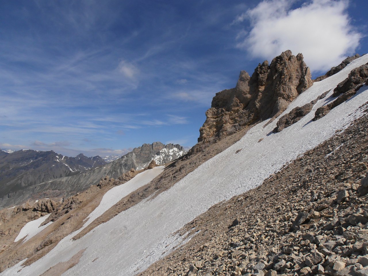
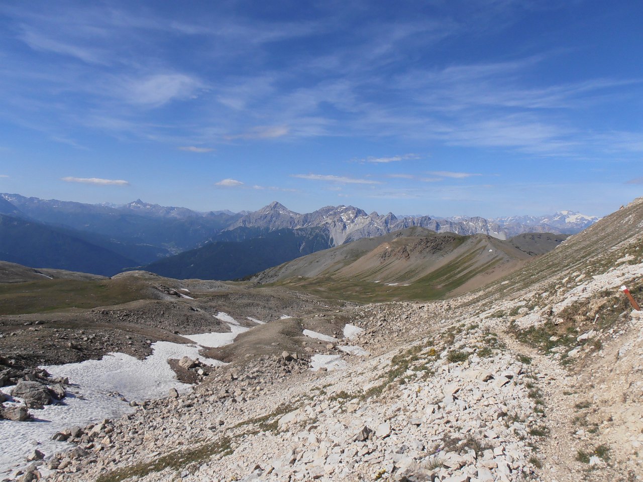
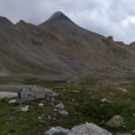
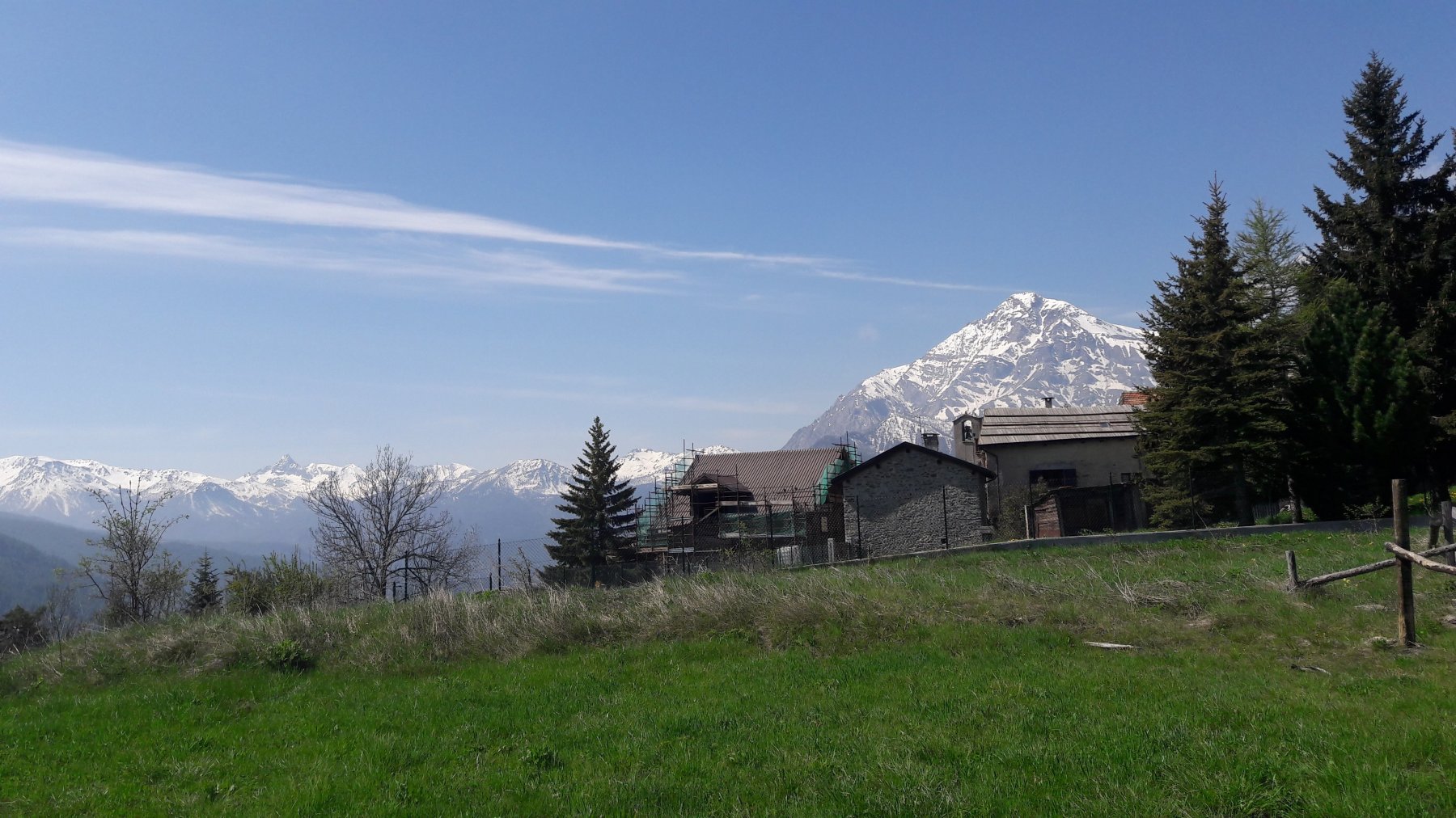
Se nel frattempo fosse passata la fantasia di raggiungere il Vallonetto, dalla strada a quota 2239 si può proseguire sulla dorsale in direzione del Monte Vin Vert
- Cartografia:
- IGC 1:50000 cartina n°1, Fraternali 1:25000 n.1 Alta Valle di Susa
- Bibliografia:
- IGC guida n°1 ( Valli di Susa Chisone e Germanasca) a cura di Giulio Berutto
Nelle vicinanze Mappa
Itinerari
07/08/2021 TO, Salbertrand D+ 839 m EE Sud-Ovest
Seguret (Monte) dal Colletto Pramand per il Colle dell’Argentera
 50m
50m
20/09/2017 TO, Salbertrand D+ 1130 m EE/F Varie
Vallonetto (Cima del) e Monte Seguret dal Colletto Pramand, anello per il Monte Vin Vert
 50m
50m
29/09/2018 TO, Salbertrand D+ 1200 m E Varie
Jafferau (Monte) dal Colletto Pramand per il Monte Vin Vert
50m
23/06/2024 TO, Oulx D+ 288 m E Nord
Gran Bosco di Salbertrand (Parco del) percorso n.8 “Le Tagliate” dal Lago Orfù
 3Km
3Km
21/05/2026 TO, Oulx D+ 1096 m E Nord-Ovest
Pramand (Forte) da Beaume
 3.3Km
3.3Km
28/01/2022 TO, Oulx D+ 1166 m E Sud
Quin o Kin (Serre du) da Beaume
 3.3Km
3.3Km
23/05/2026 TO, Oulx D+ 1640 m EE Sud
Vin Vert (Monte) da Beaume per la Serre du Kin e dorsale SE
 3.3Km
3.3Km
08/07/2023 TO, Oulx E Nord
Sentiero dei Franchi da Oulx a Sant’Ambrogio
 3.9Km
3.9Km
17/05/2014 TO, Oulx D+ 735 m E Nord
Chateau Beaulard (Frazione) da Oulx a Beaulard per il Sentiero Balcone
 4.2Km
4.2Km
21/12/2024 TO, Oulx D+ 1035 m E Varie
Madonna del Cotolivier (Cappella) da Oulx
 4.2Km
4.2Km
Servizi
5.1Km
5.1Km
paddy mc ginty Ristorante
Sauze d'Oulx
5.1Km
Il Covo di nord ovest Ristorante
Salbertrand
5.1Km
L’Cantun B&B
Sauze D'oulx
5.8Km
La Moretta Ristorante
Oulx
6.3Km
La Chardouse Rifugio
Oulx
7.8Km
Arlaud Rifugio
Salbertrand
8.3Km
Levi Molinari Rifugio
Exilles
8.4Km
L’Eitabl Ristorante
Oulx
9.5Km