3Km
3Km

Note
 50m
50m
1.1Km
1.1Km
1.4Km
2.6Km
2.8Km
3Km
3Km
50m
50m
1.1Km
1.1Km
1.4Km
2.6Km
2.8Km
3Km
3Km
3Km
3Km
4Km
4.1Km
4.1Km
6Km
7.4Km
7.7Km
7.9Km
9.4Km
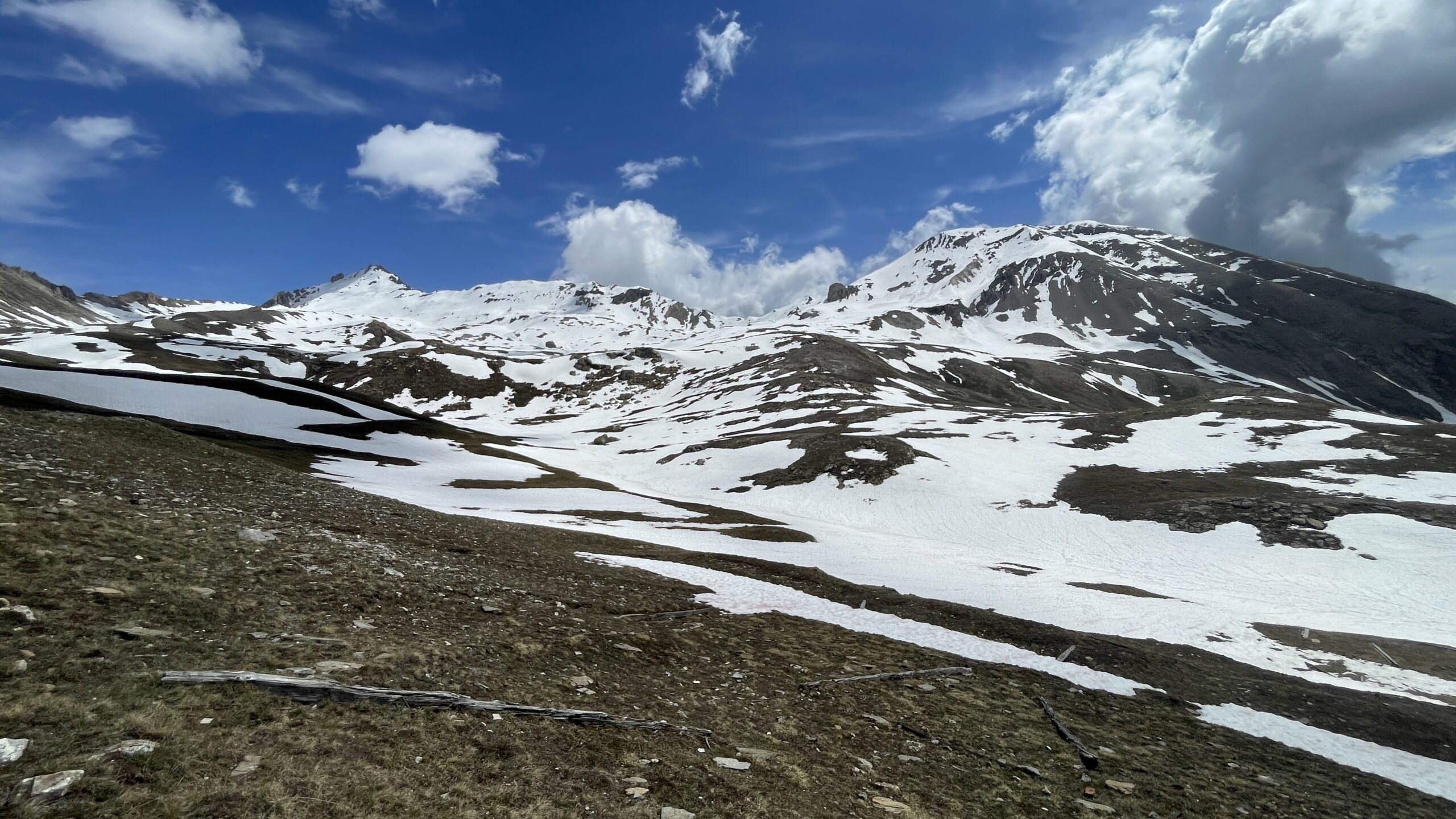
Itinerario che non presenta difficoltà tecniche ma che visto il dislivello importante, richiede buon allenamento.
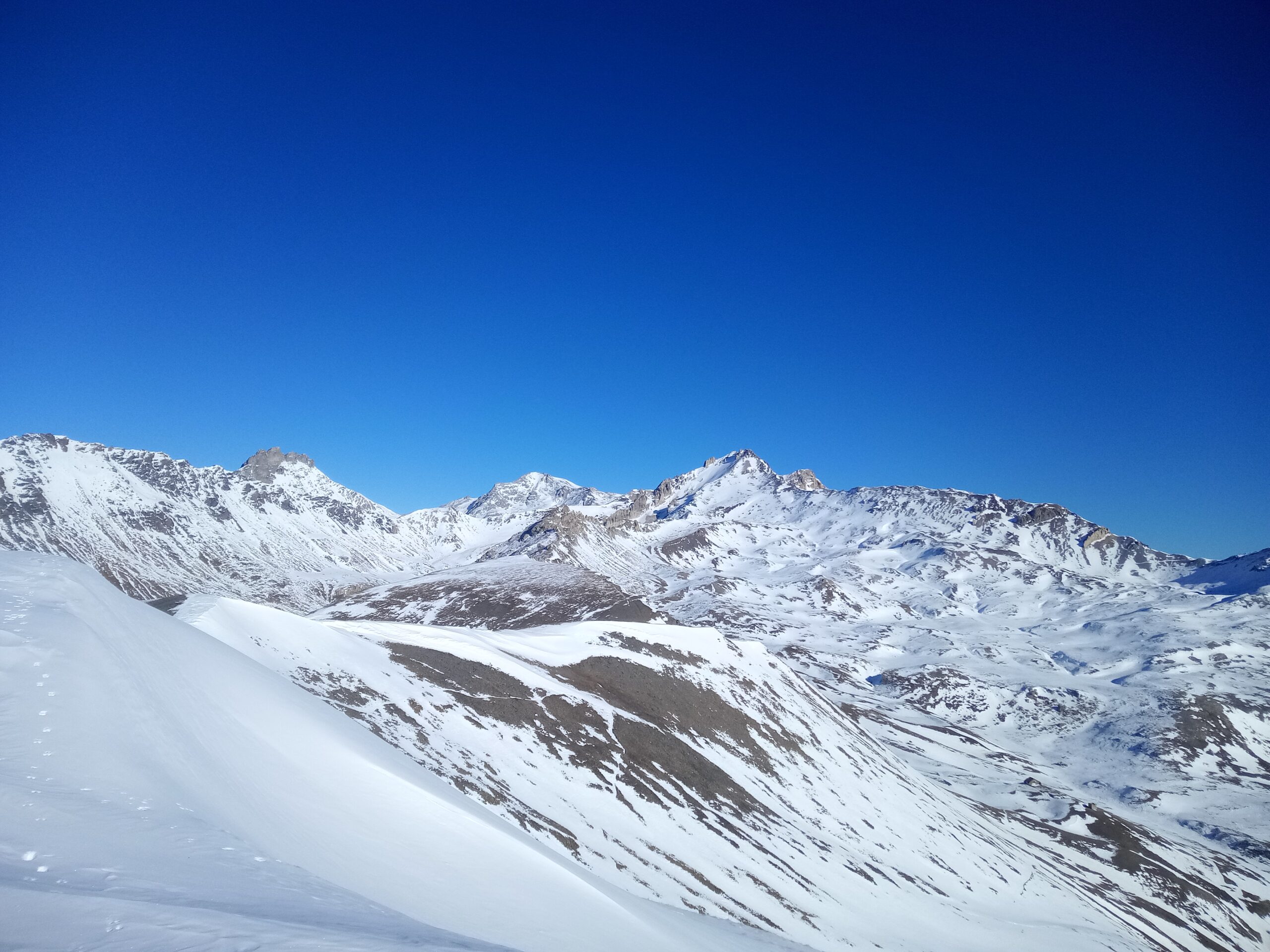
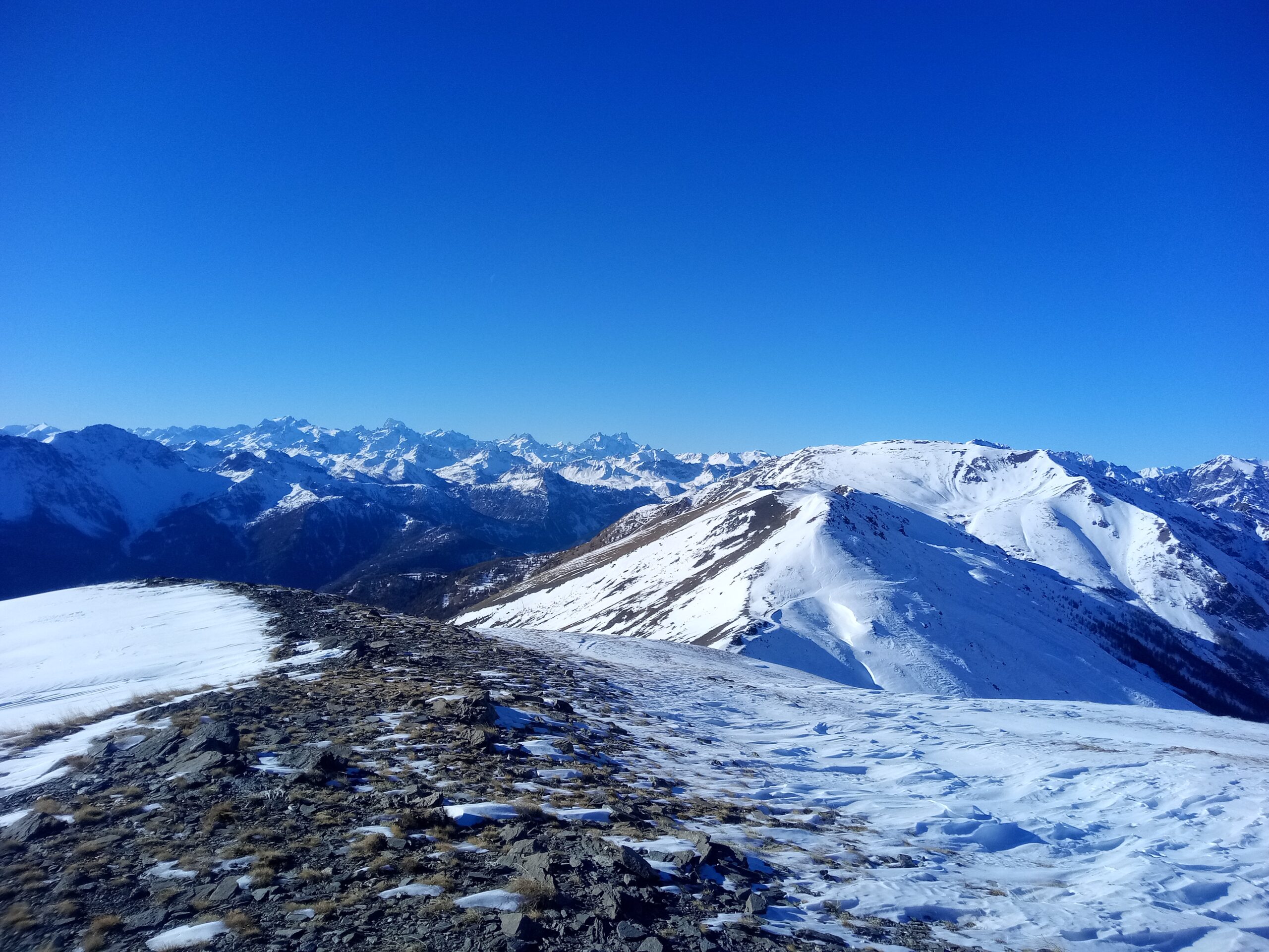
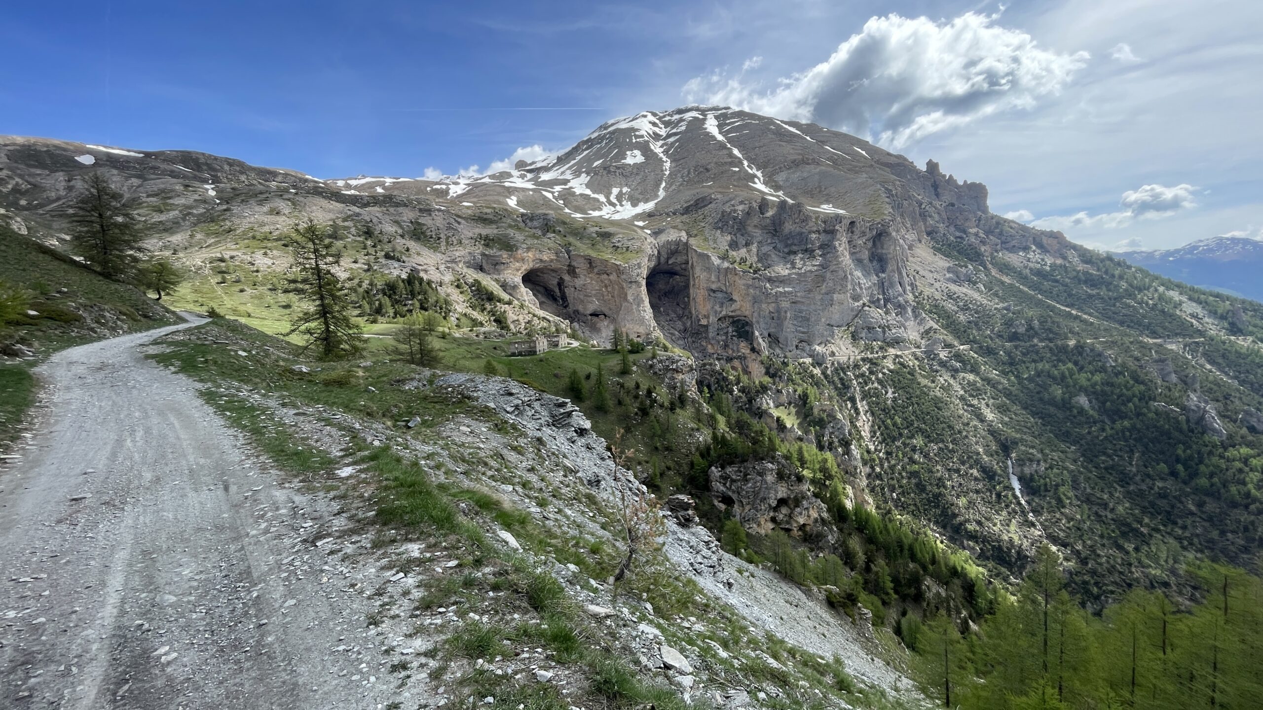
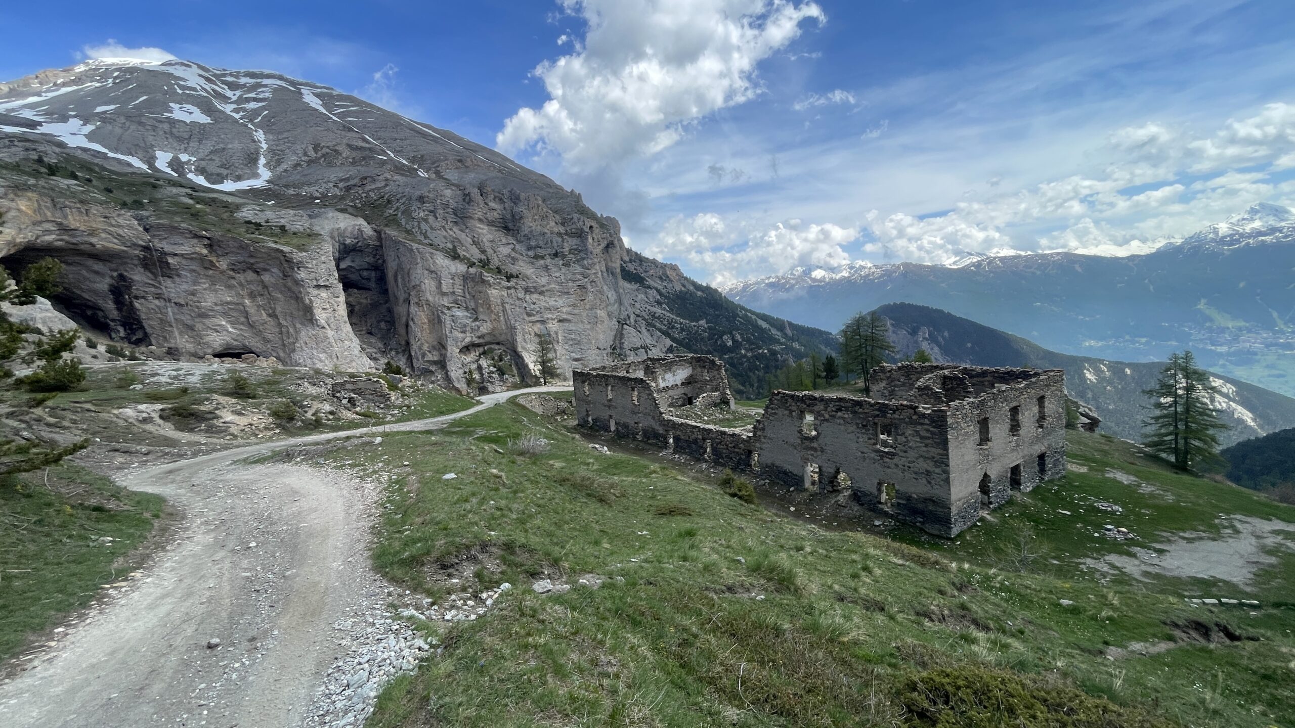
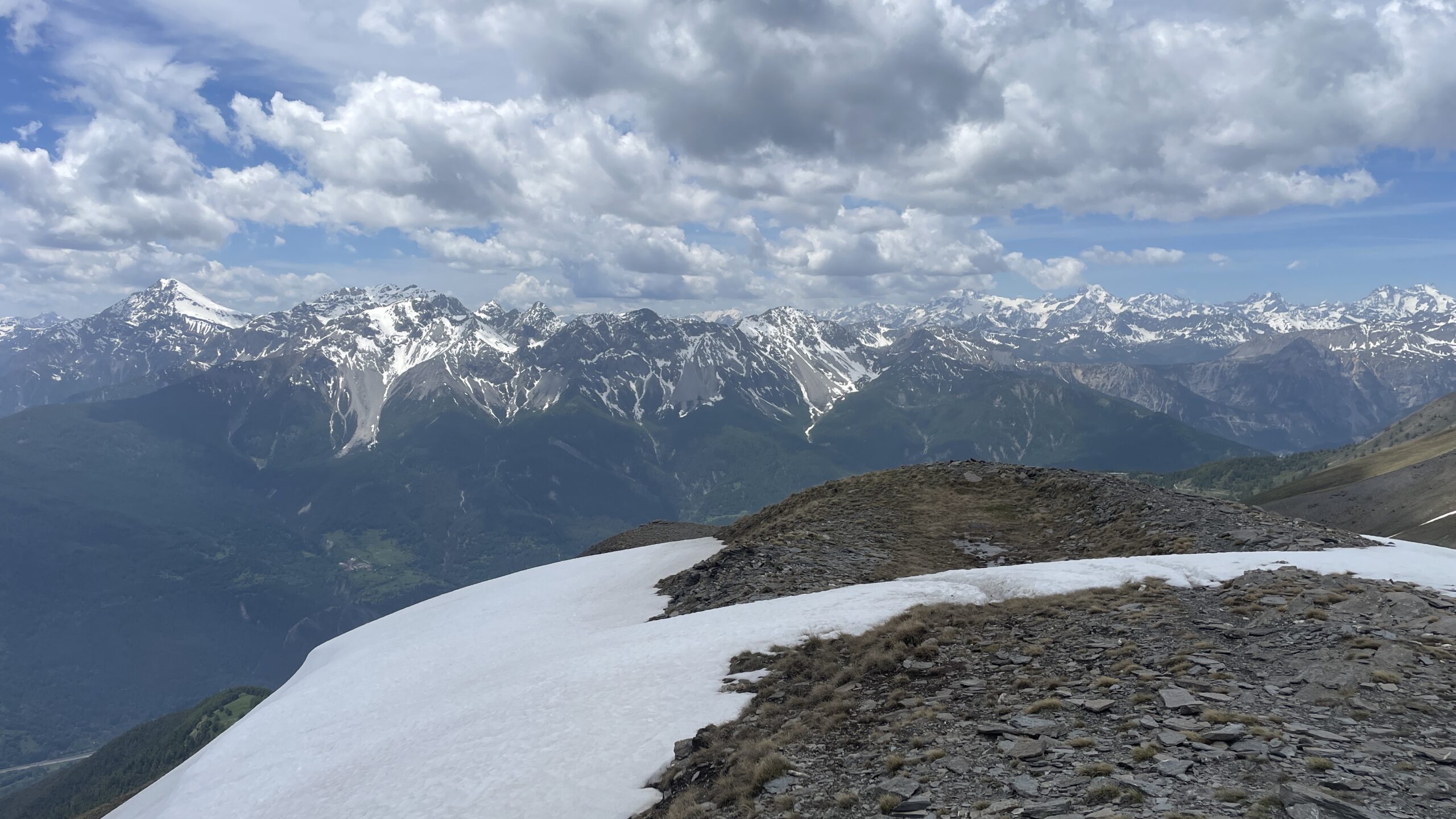
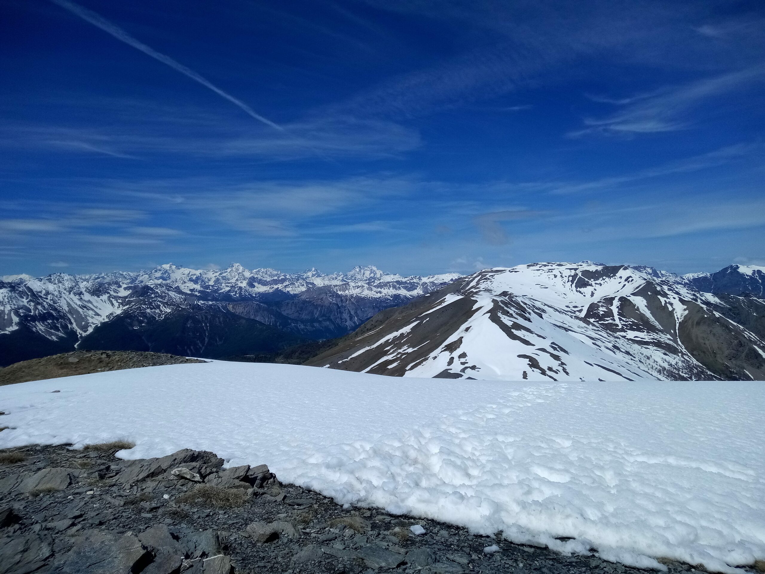
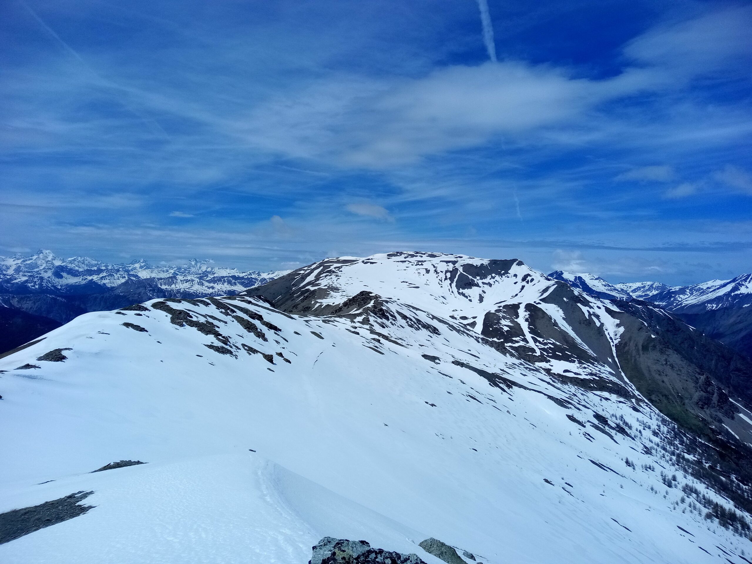
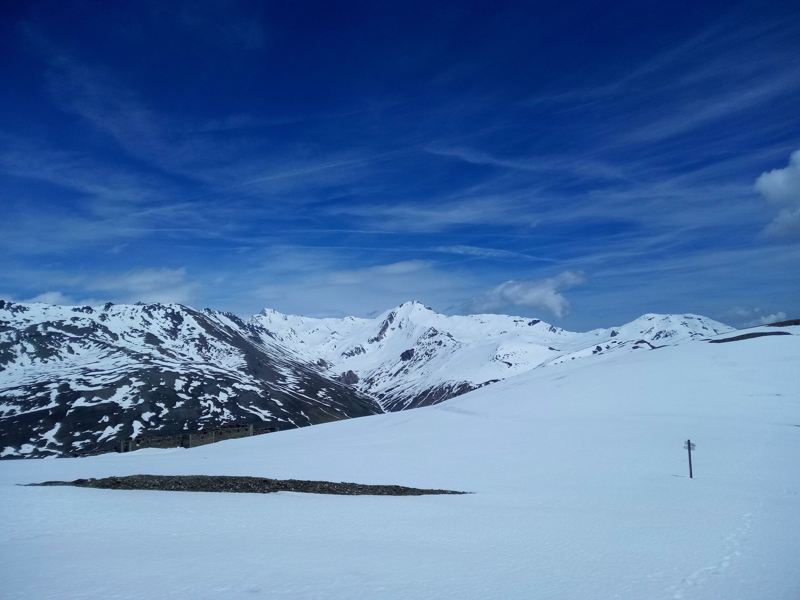
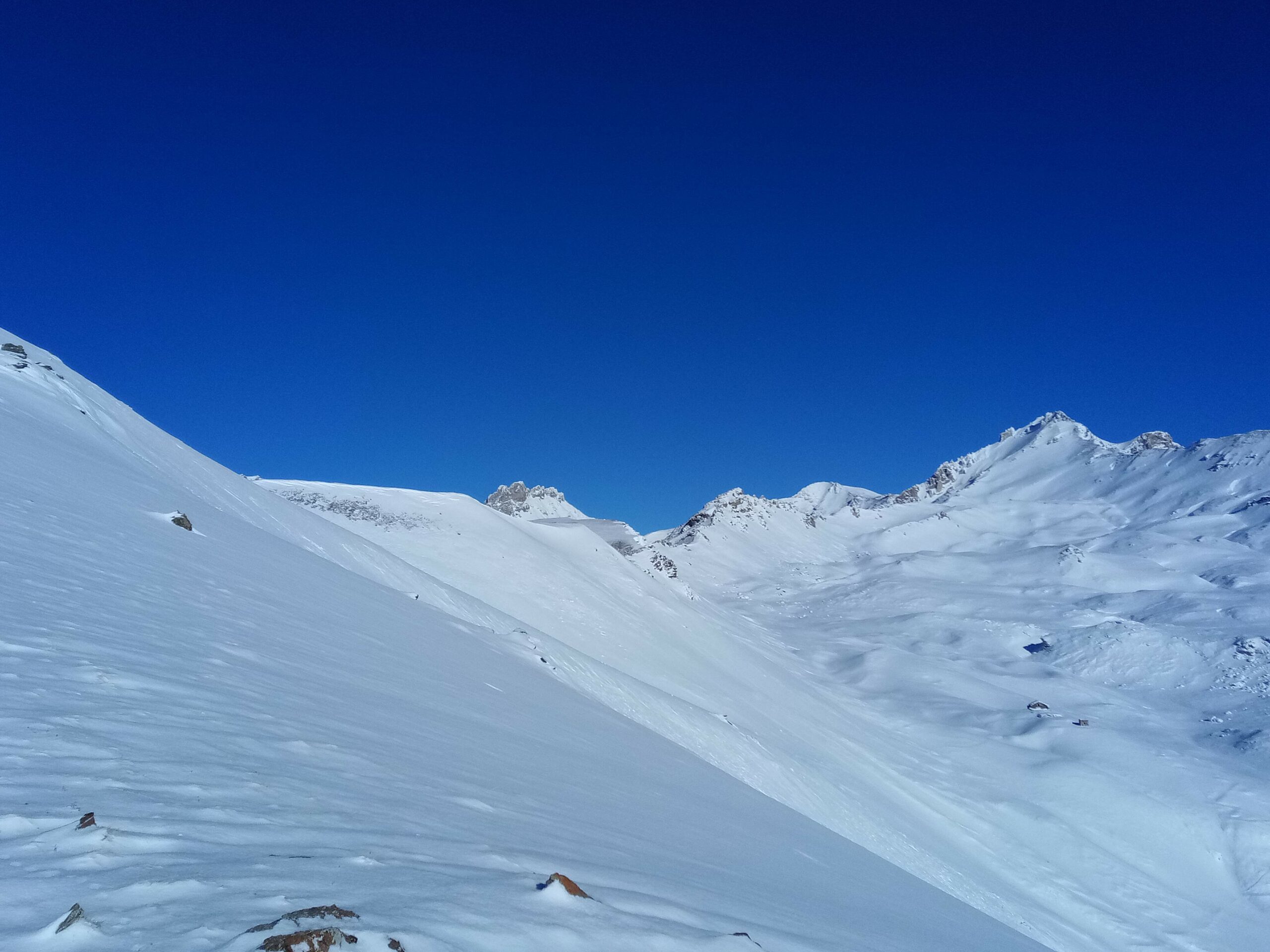
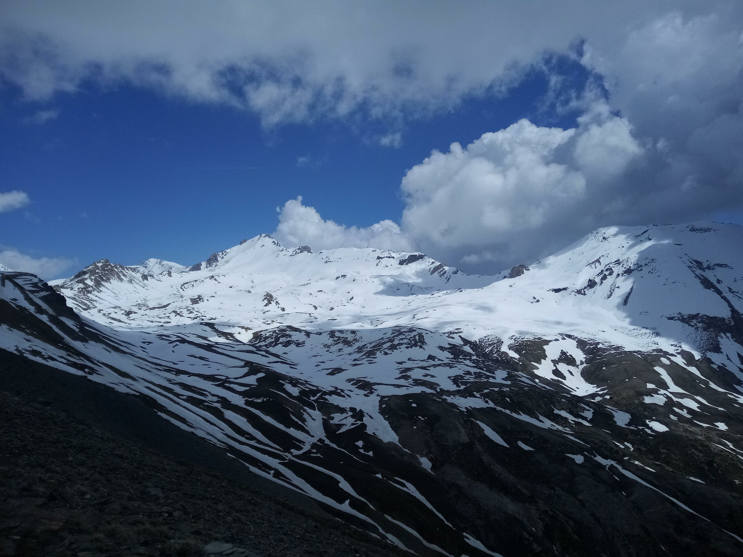
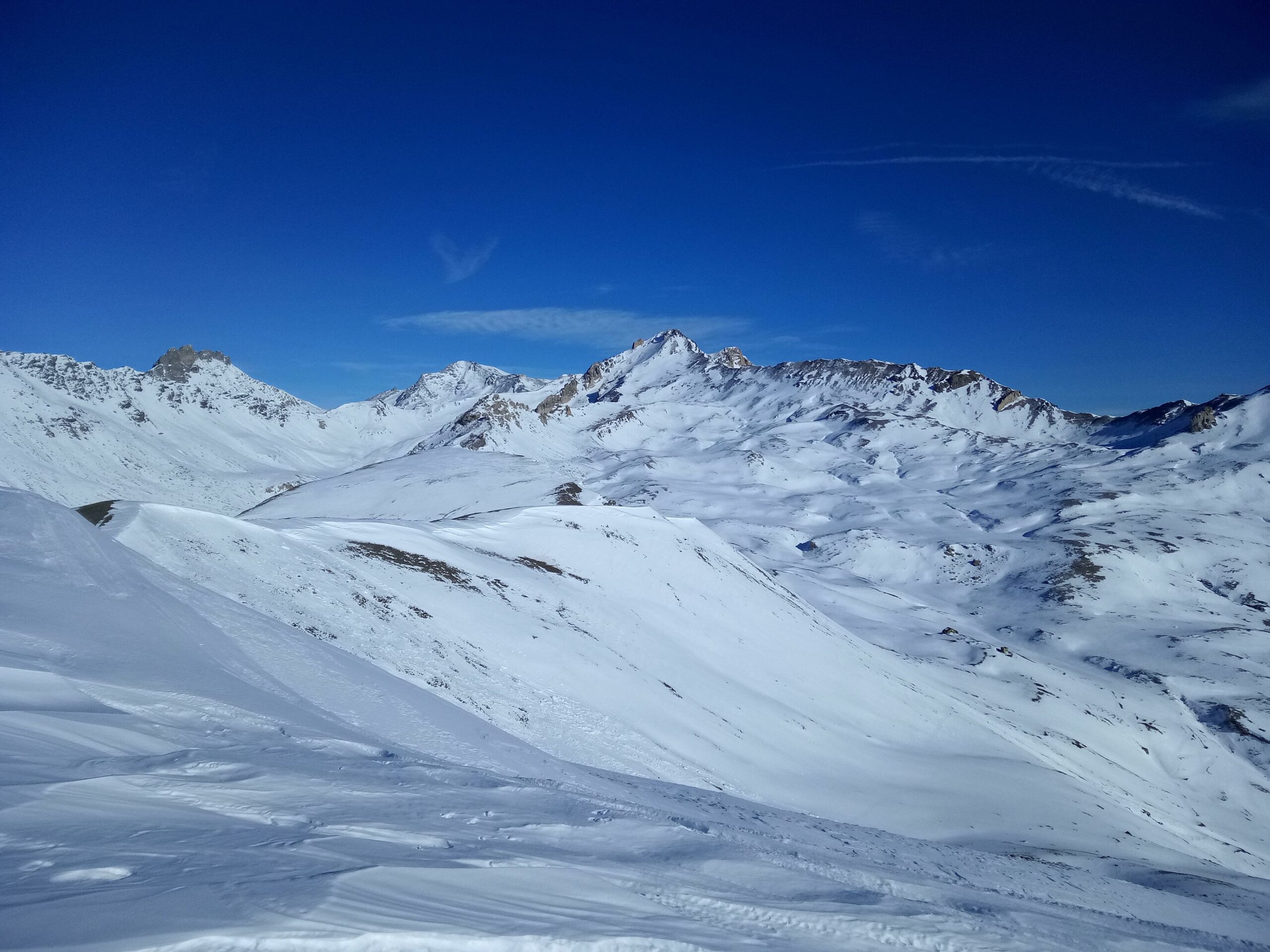
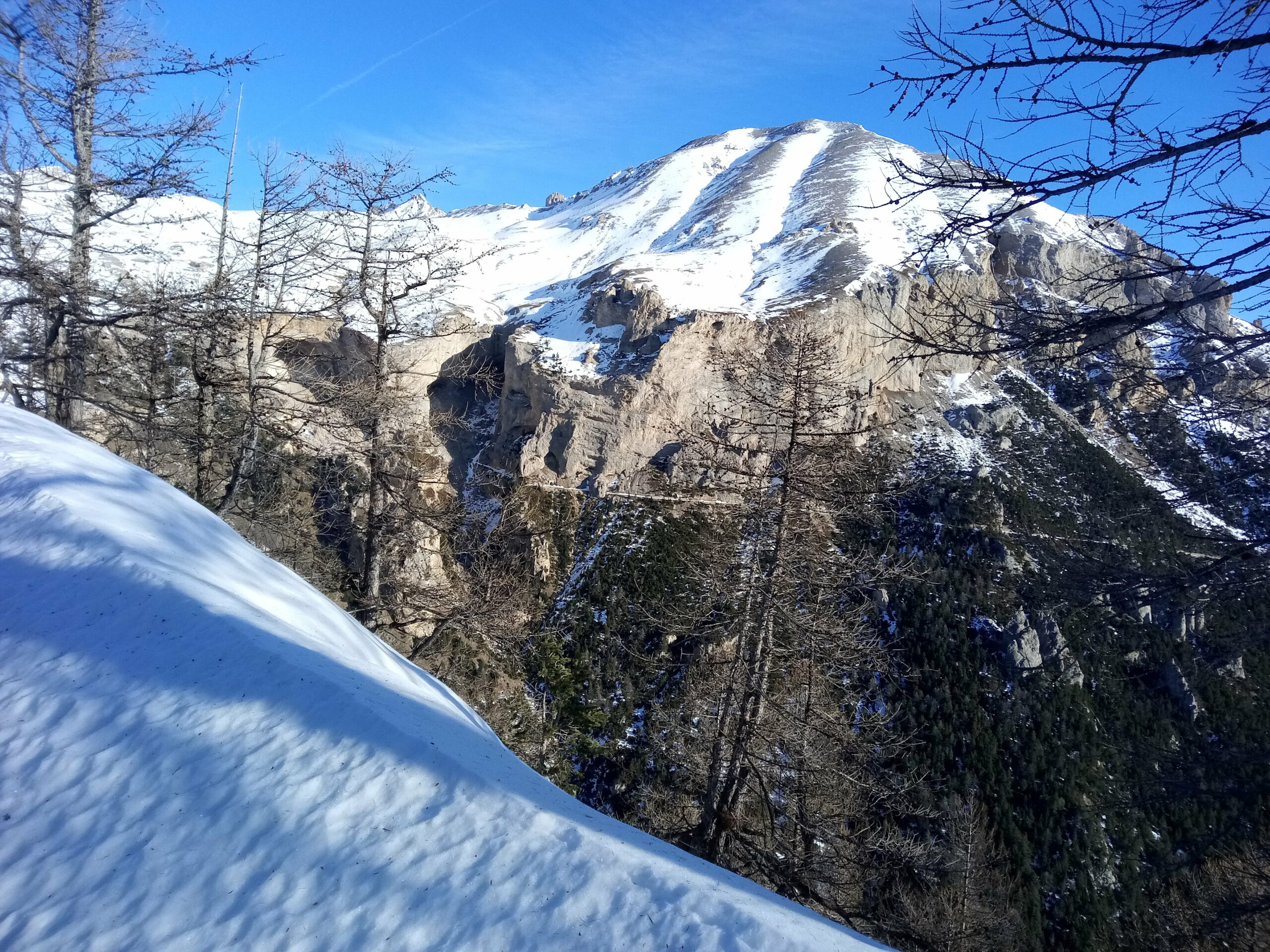
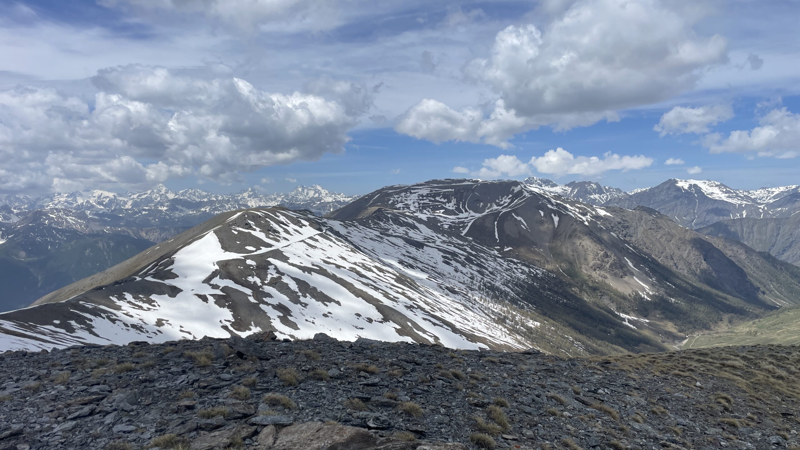
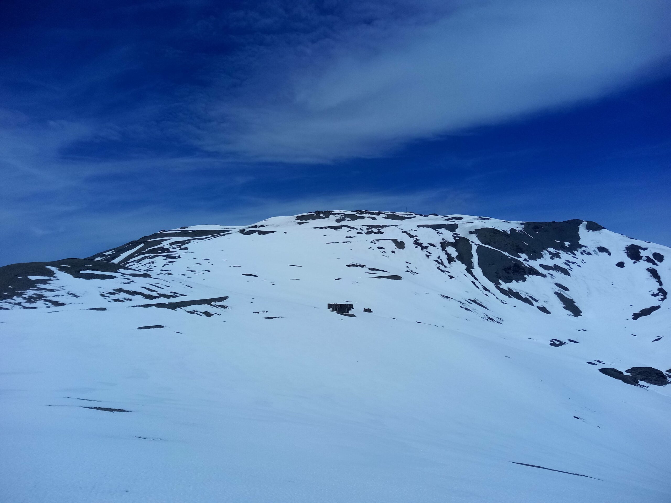
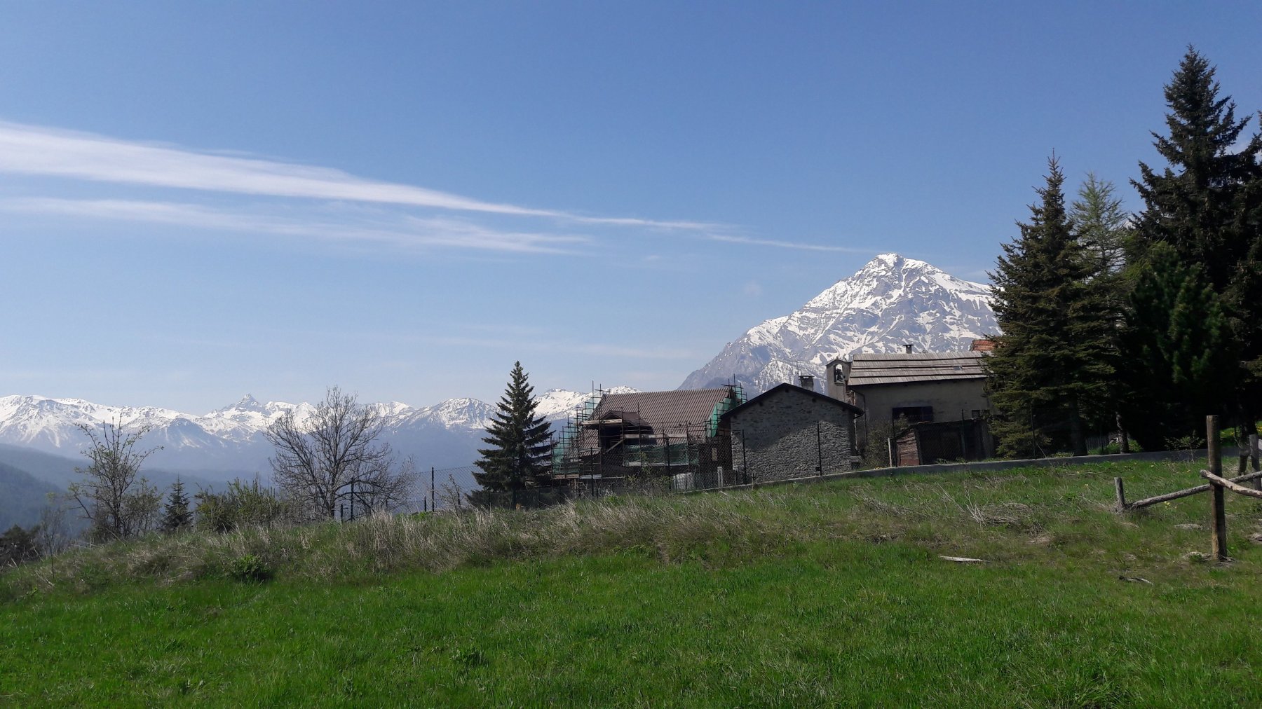
Ottimo punto panoramico sull’alta Val Susa, Monviso, Pic de Rochebrune, Ecrins…
Sito di Interesse Comunitario denominato “Oasi Xerotermica di Oulx-Auberge” .
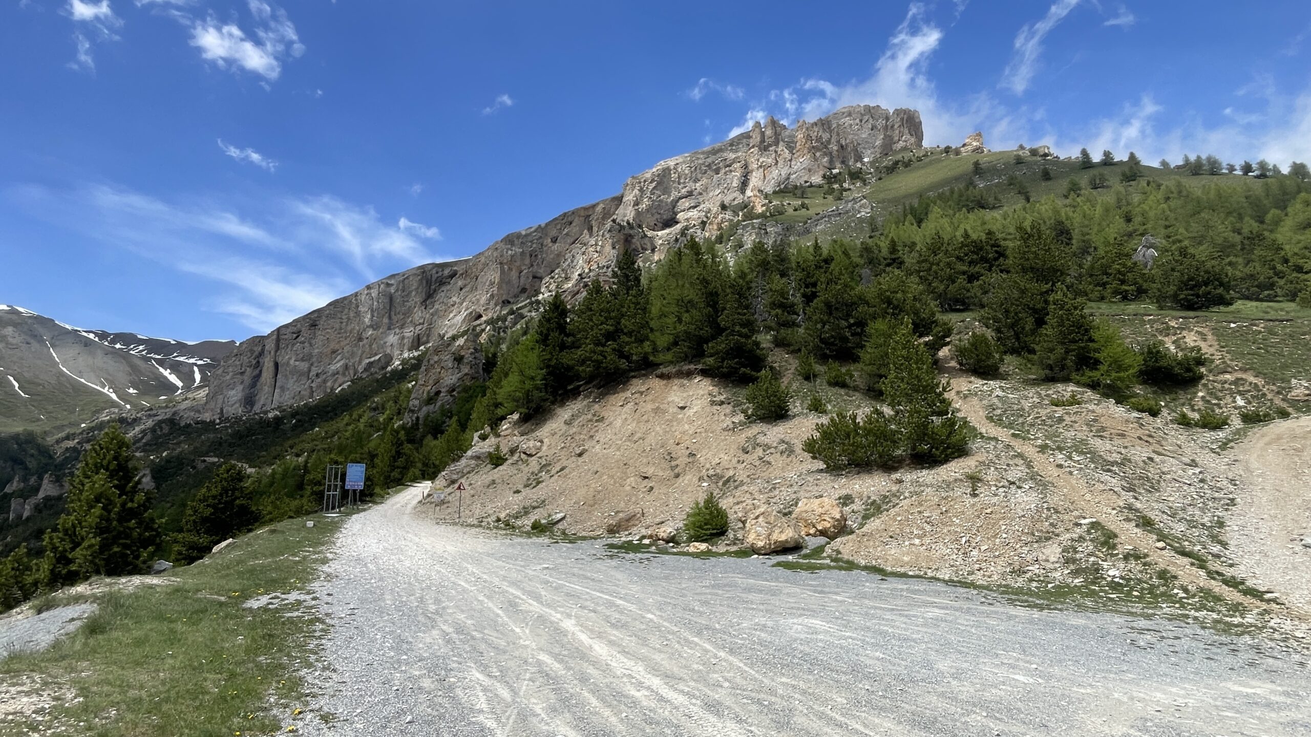
Possibilità di visitare la zona delle cave di gesso.
Avvicinamento
Ottimo punto panoramico sull’alta Val Susa, Monviso, Pic de Rochebrune, Ecrins…
Sito di Interesse Comunitario denominato “Oasi Xerotermica di Oulx-Auberge” .
Possibilità di visitare la zona delle cave di gesso.
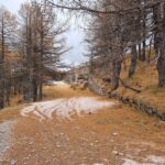
Si parcheggia l’auto in uno spiazzo sulla ss335 di Bardonecchia nelle immediate vicinanze del bivio per Beaume 1065 m, posto a poche decine di metri dal ponte che attraversa la Dora per Ulzio. Oppure è possibile parcheggiare a Oulx, che rimane 15 minuti a piedi da Beaume. I pochi parcheggi dell’abitato di Beaume sono a disposizione degli abitanti.
Descrizione
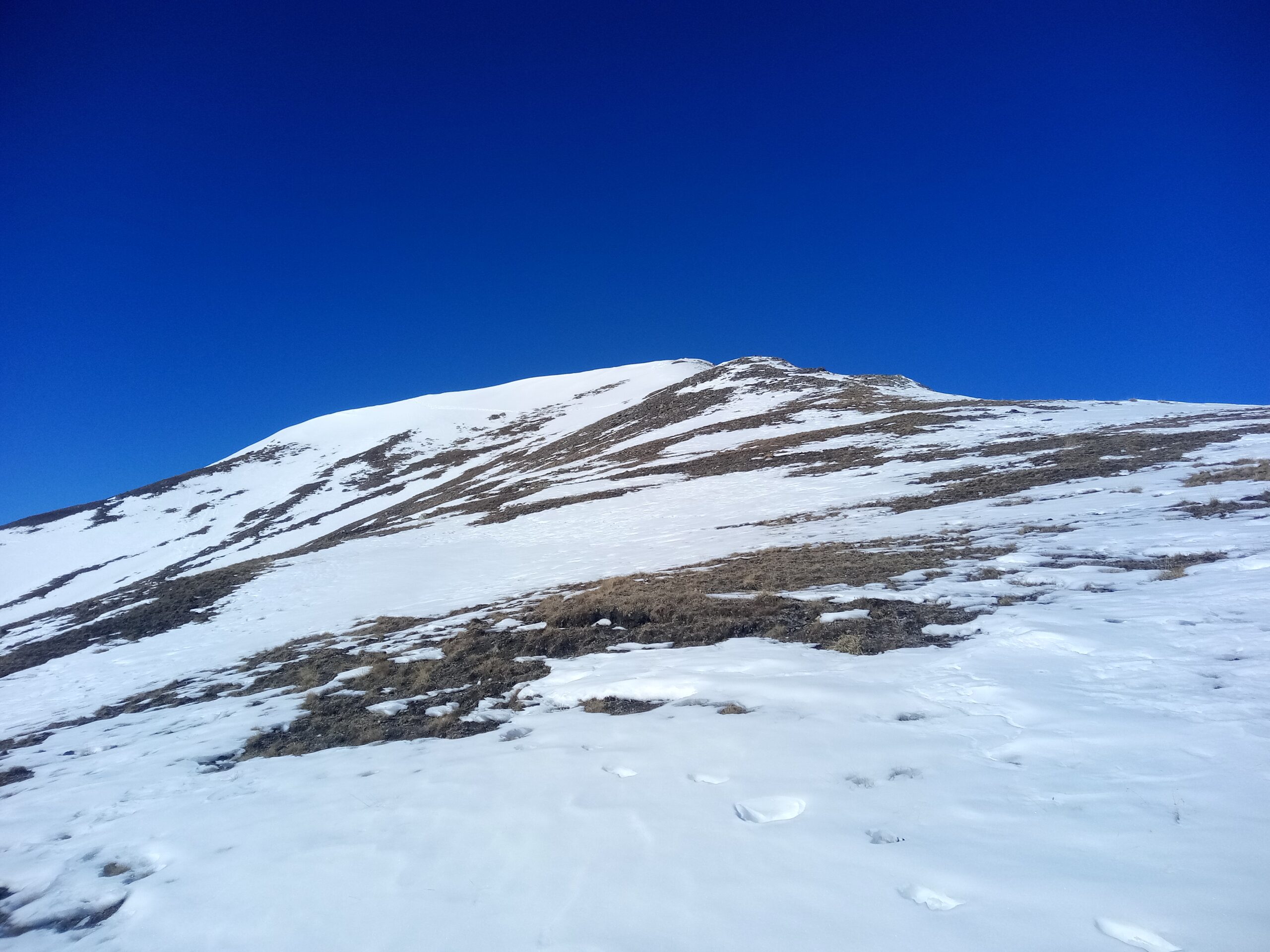
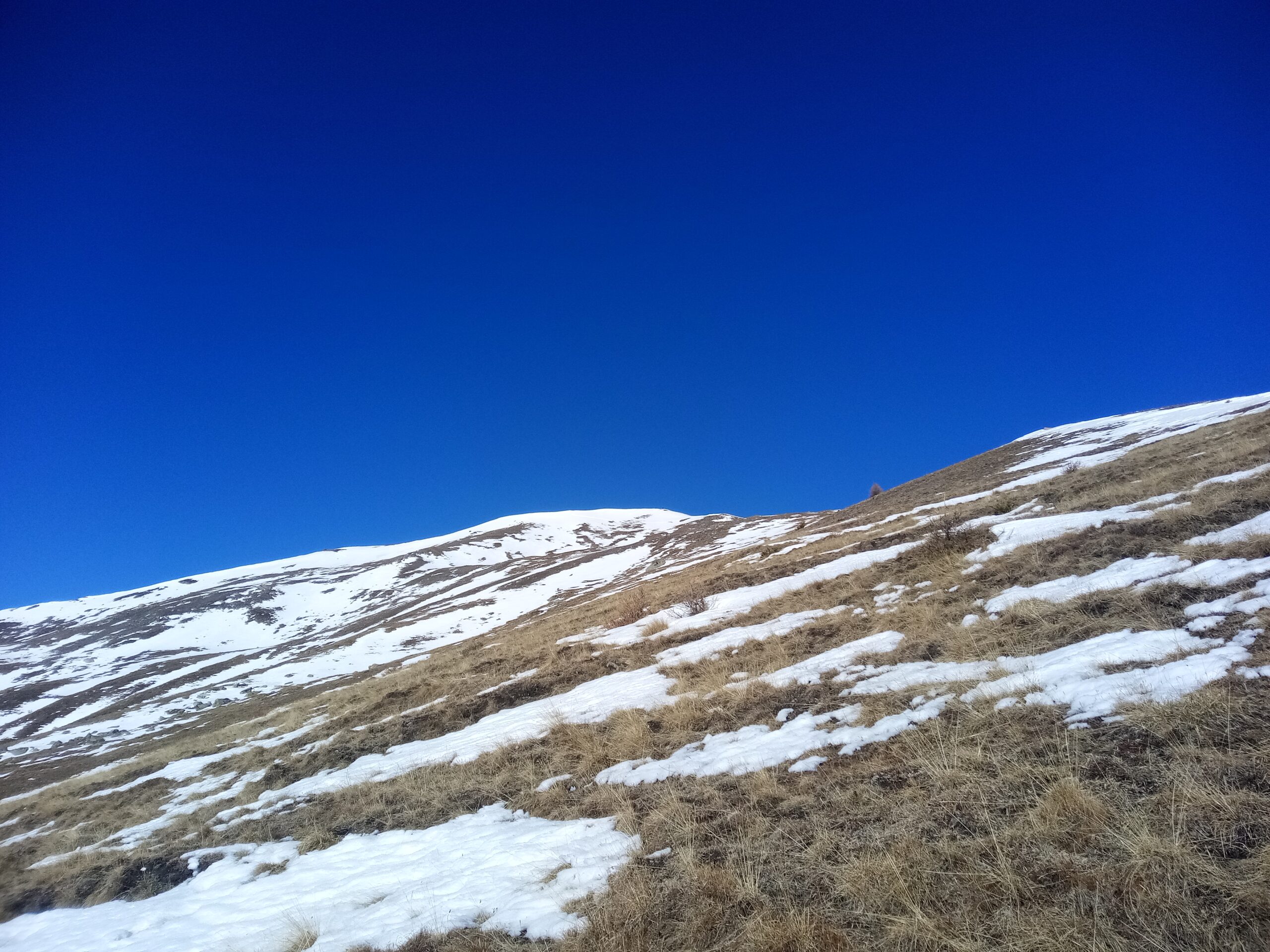
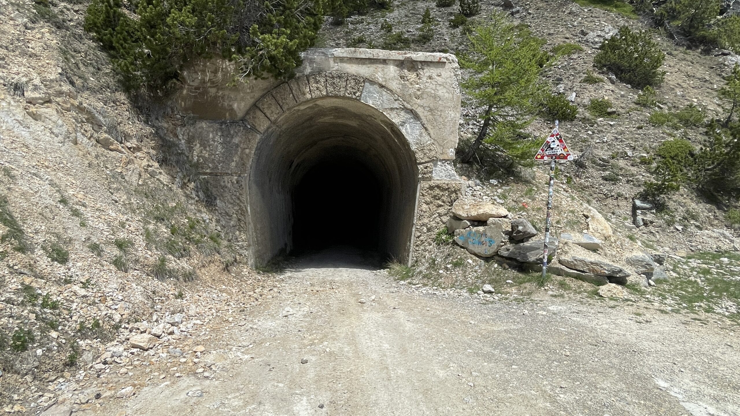
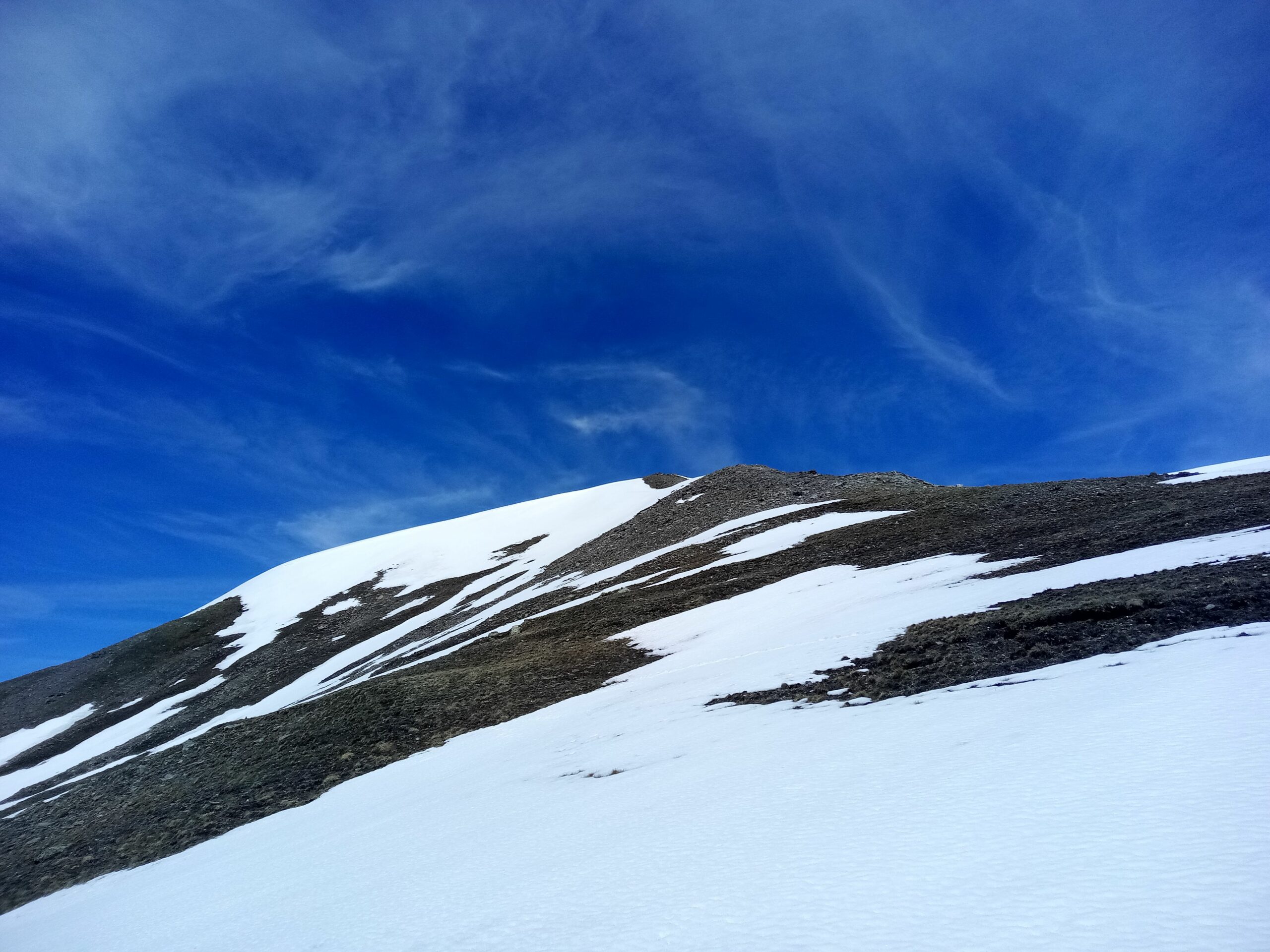
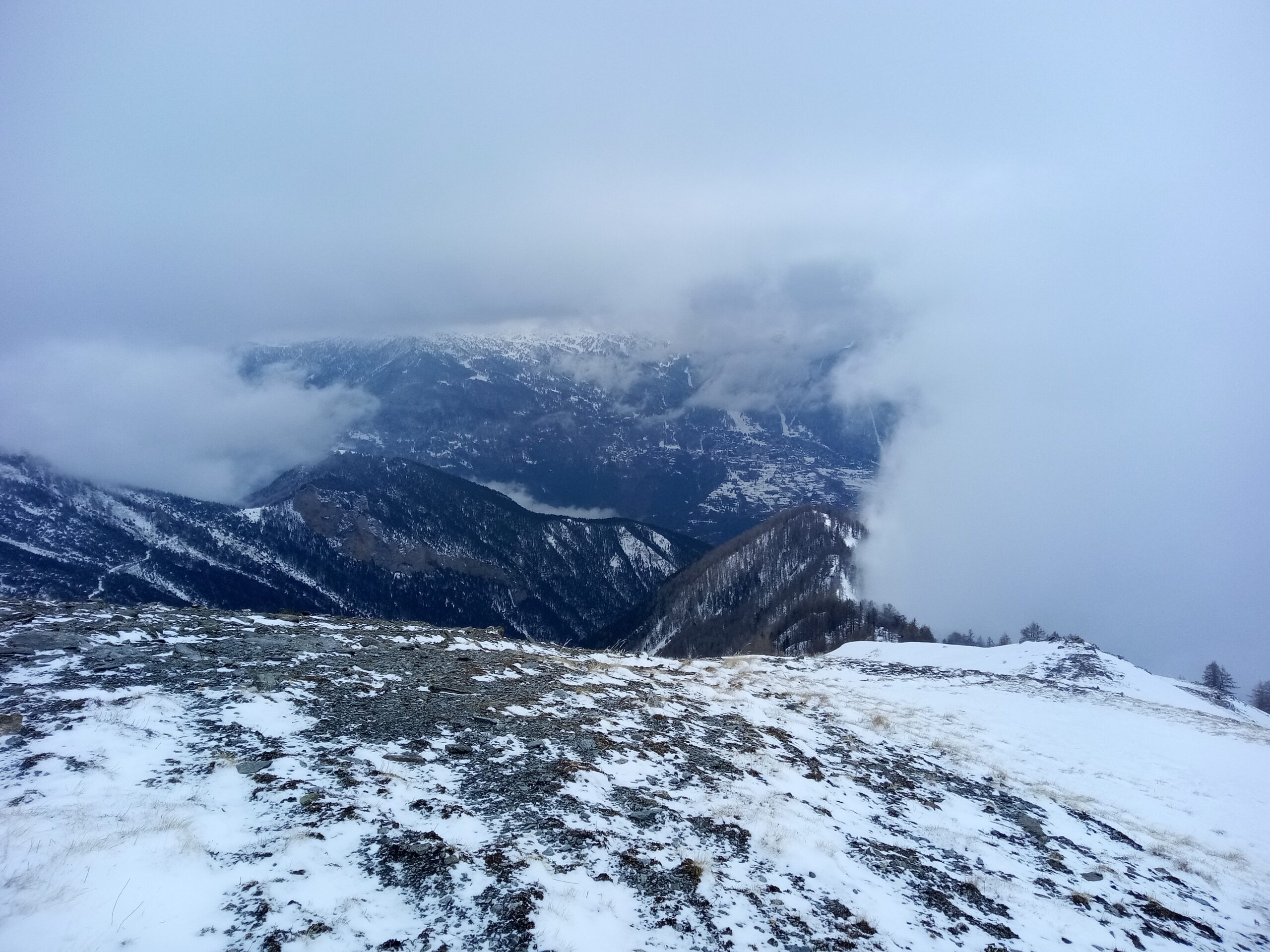
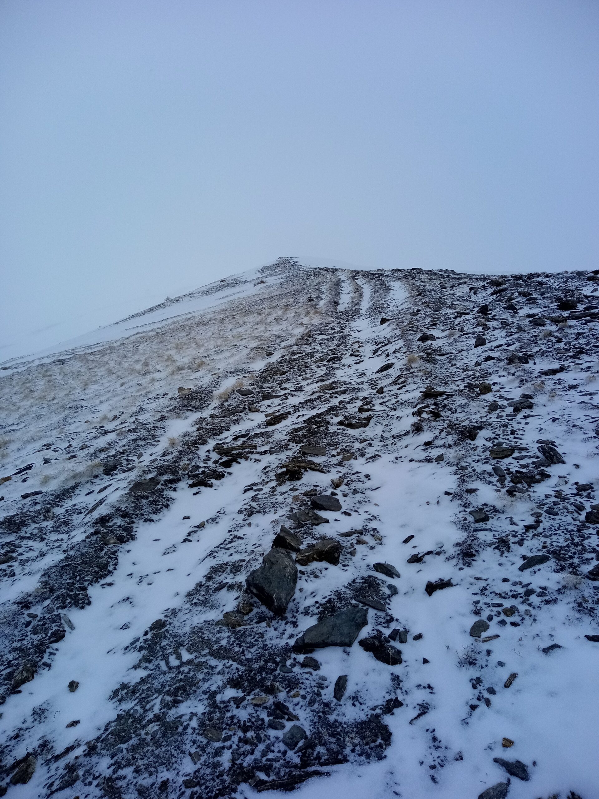
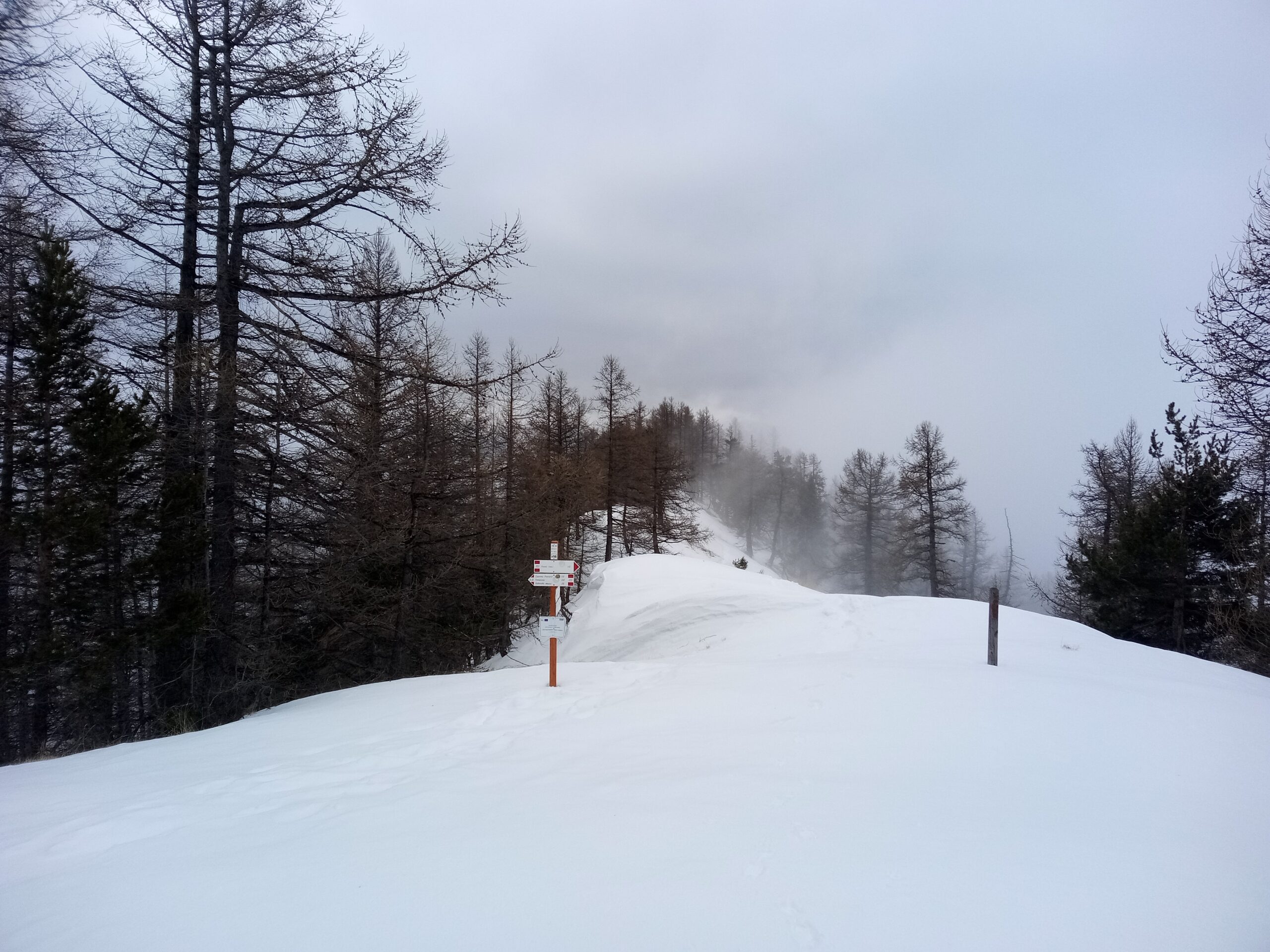
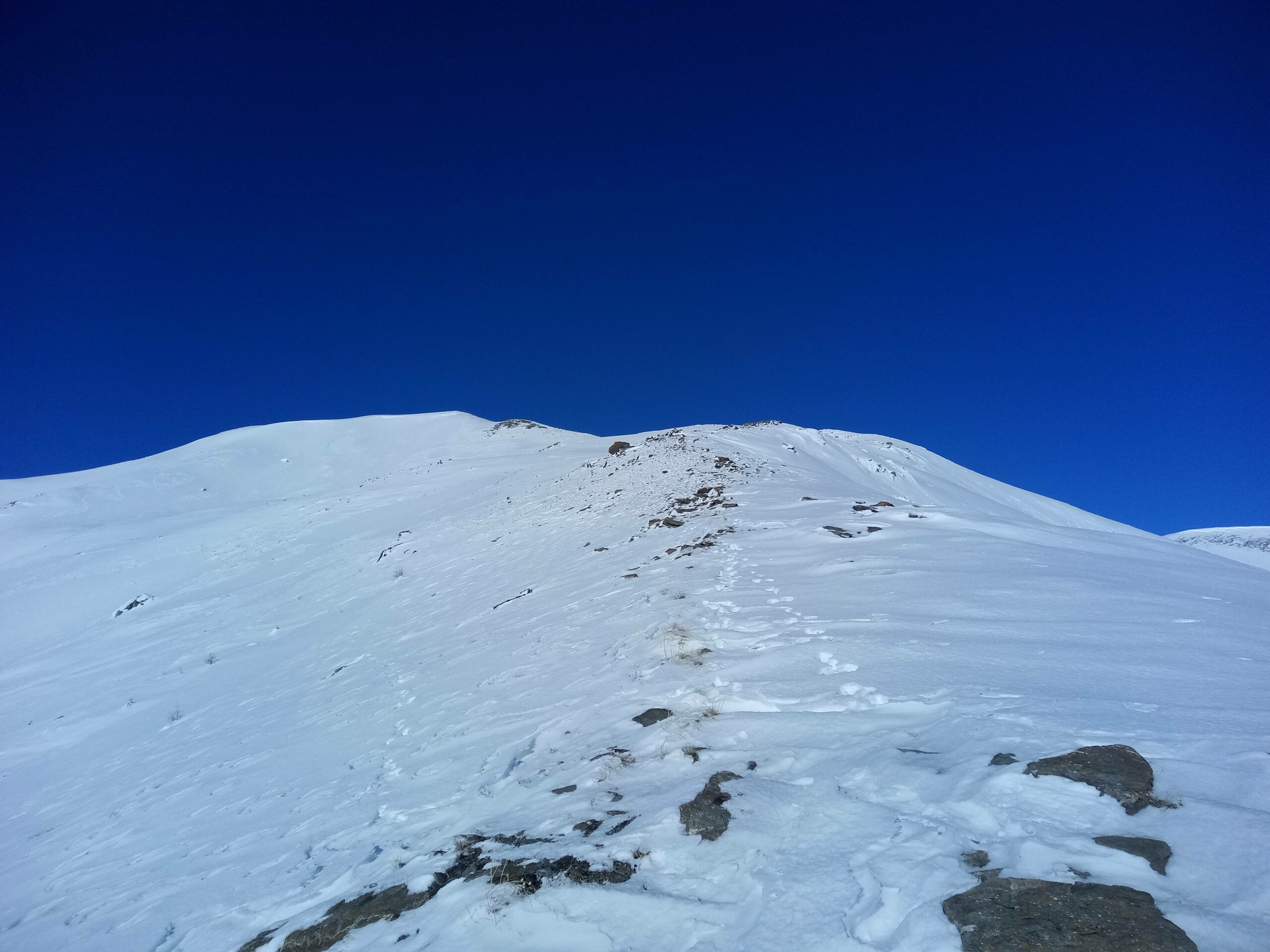
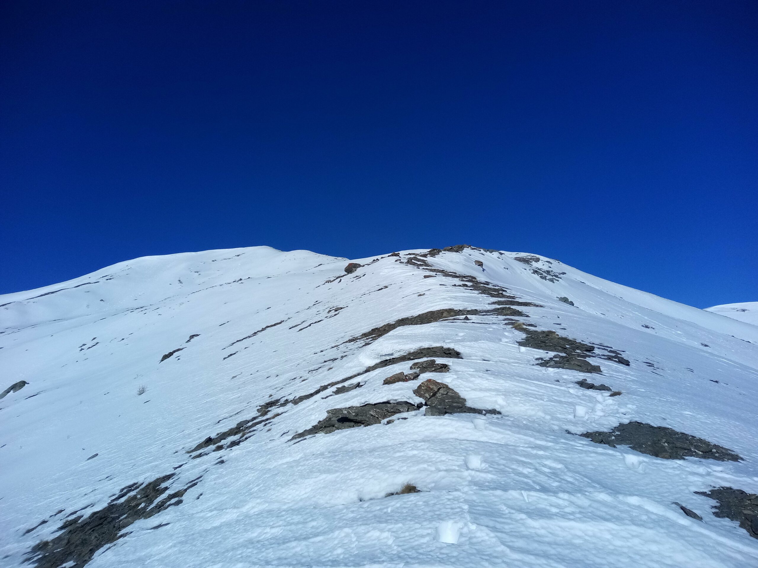
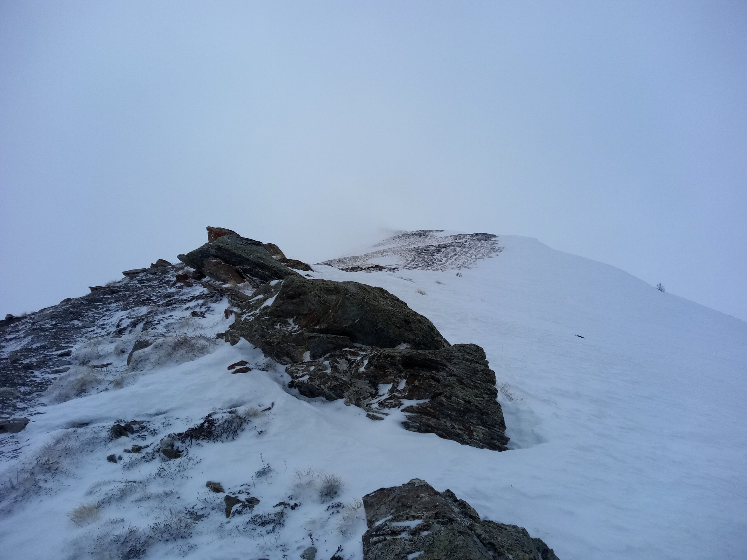
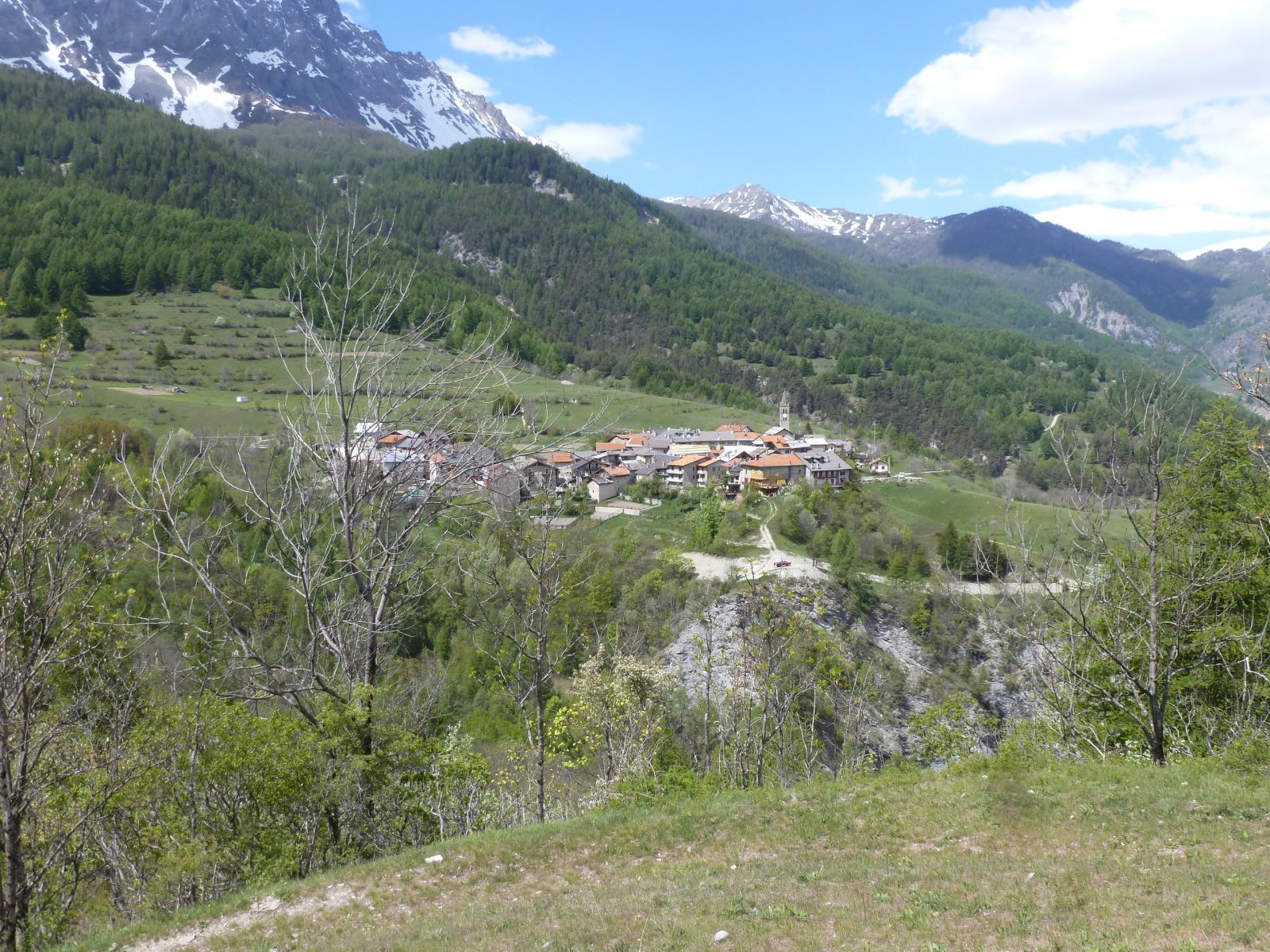
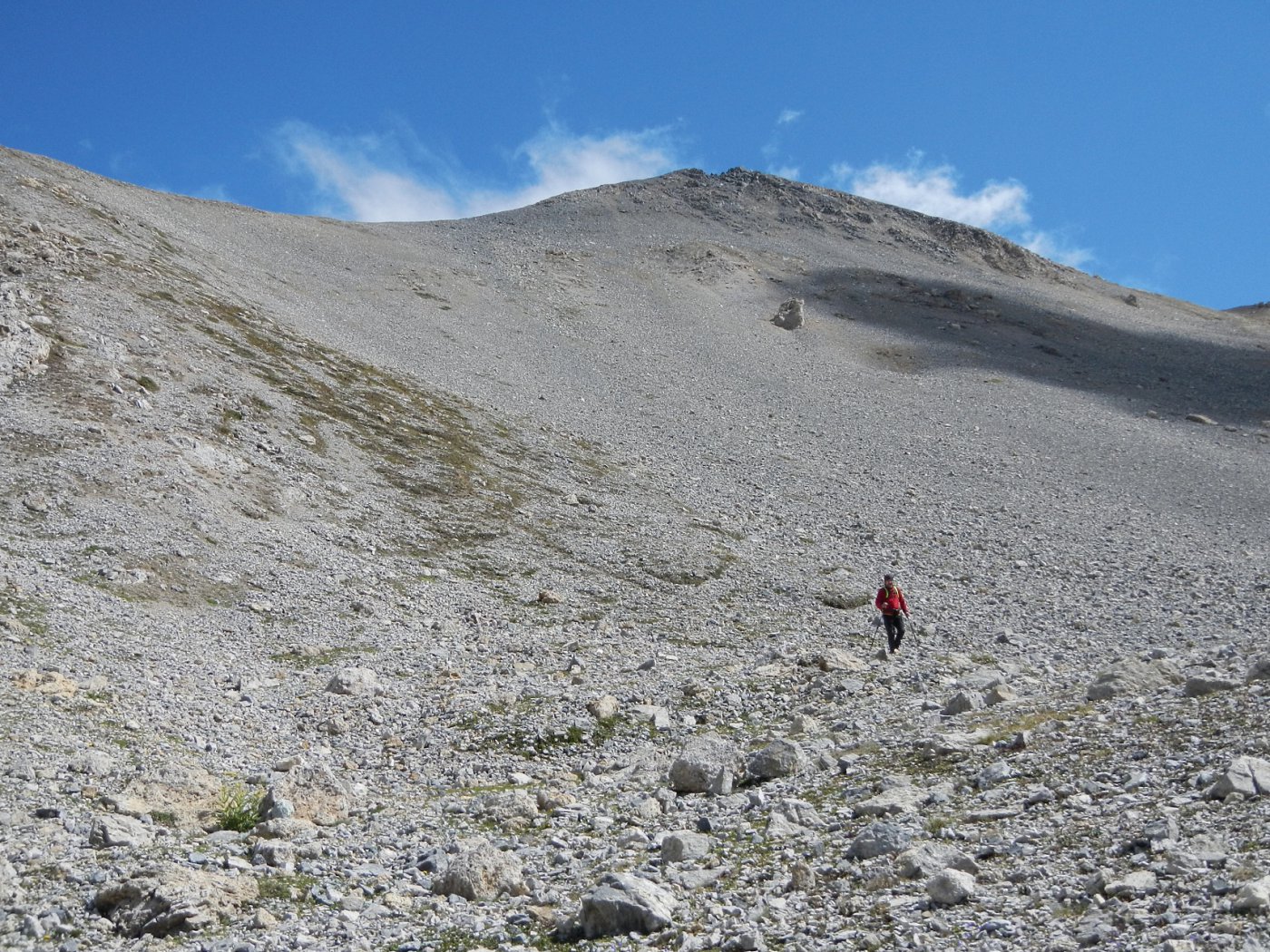
Si risale la stradina asfaltata fino a Beaume e giunti alla fontana, seguire le indicazioni in direzione del Sentiero Balcone. Giunti al bivio a circa 1400 m, (cartelli) continuare a sinistra seguendo le indicazioni per Pramand e Monfournel (sentiero 734). Il sentiero prosegue ripido in uno splendido bosco per poi giungere ad un altro bivio con cartelli, dove si abbatte. Proseguire in direzione Strada Pramand, Fontanone, Cima del Vallonetto (734), seguendo il sentiero se visibile oppure le tacche bianche e rosse poste sugli alberi. Proseguire nel bosco dove più in alto piega leggermente a destra, risalendo un tratto che aggira una bastionata. Proseguire sulla dorsale oppure per il sentiero estivo che la costeggia un po’ più in basso a sinistra. Raggiunta la strada della galleria dei Saraceni (cartello in legno), attraversarla e risalire l’ampia dorsale SE sino in cima al Vin Vert.
Discesa dal percorso di salita.
- Cartografia:
- IGC 1 - Val Susa Chisone e Germanasca
Ultima revisione 03/01/2024
Nelle vicinanze Mappa
Itinerari
28/01/2022 TO, Oulx D+ 1166 m E Sud
Quin o Kin (Serre du) da Beaume
 50m
50m
21/05/2026 TO, Oulx D+ 1096 m E Nord-Ovest
Pramand (Forte) da Beaume
 50m
50m
21/12/2024 TO, Oulx D+ 1035 m E Varie
Madonna del Cotolivier (Cappella) da Oulx
 1.1Km
1.1Km
17/05/2014 TO, Oulx D+ 735 m E Nord
Chateau Beaulard (Frazione) da Oulx a Beaulard per il Sentiero Balcone
 1.1Km
1.1Km
08/07/2023 TO, Oulx E Nord
Sentiero dei Franchi da Oulx a Sant’Ambrogio
 1.4Km
1.4Km
18/10/2020 TO, Oulx D+ 700 m E Nord-Ovest
Malafosse, Jouvenceaux (Borgate) da Oulx, anello
 2.6Km
2.6Km
14/06/2025 TO, Oulx D+ 1815 m EE Sud
Seguret (Monte) da Signols per il Colle dell’Argentera
 2.8Km
2.8Km
09/05/2026 TO, Oulx D+ 1850 m E Sud
Berrone Stefano (Bivacco) e Monte Vin Vert da Signols, anello
2.8Km
23/05/2026 TO, Oulx D+ 1250 m EE Varie
Gardiol (Punta) da Vazon, anello per Cotolivier, Croce di San Giuseppe e Desertes
 3Km
3Km
20/06/2026 TO, Oulx D+ 800 m E Sud
San Giuseppe (Croce) da Vazon
 3Km
3Km
Servizi
3Km
3Km
La Chardouse Rifugio
Oulx
4Km
L’Cantun B&B
Sauze D'oulx
4.1Km
orto del frate Ristorante
Sauze d'Oulx
4.1Km
paddy mc ginty Ristorante
Sauze d'Oulx
6Km
L’Eitabl Ristorante
Oulx
7.4Km
Il Covo di nord ovest Ristorante
Salbertrand
7.7Km
Dell’Orsa Bar
Oulx
7.9Km
Guido Rey Rifugio
Oulx
9.4Km