 5.1Km
5.1Km
Note
 50m
50m
50m
3Km
3.3Km
3.3Km
3.3Km
3.9Km
4.2Km
4.2Km
50m
50m
50m
3Km
3.3Km
3.3Km
3.3Km
3.9Km
4.2Km
4.2Km
5.1Km
5.1Km
5.1Km
5.1Km
5.8Km
6.3Km
7.8Km
8.3Km
8.4Km
9.5Km
Dal 2018 è stata riaperta la galleria dei Saraceni, per il suo attraversamento è indispensabile una buona torcia e prestare attenzione all'acqua che vi scorre all'interno.
Se la strada per il Colletto Pramand la partenza avviene da Moncellier o da dove si riesce ad arrivare, allungando sensibilmente lo sviluppo del percorso.
Avvicinamento
Se la strada per il Colletto Pramand la partenza avviene da Moncellier o da dove si riesce ad arrivare, allungando sensibilmente lo sviluppo del percorso.
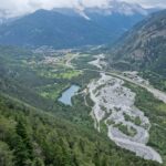
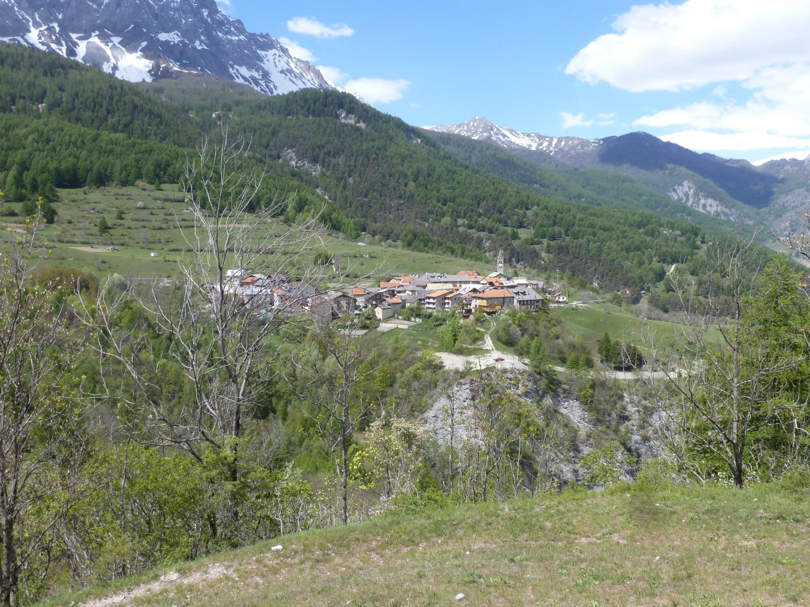
Si percorre tutta la Valle Susa fino a superare Exilles. Dopo circa 3 km si stacca sulla destra la strada che porta al Rifugio Levi, Fenil ed Eclause.
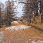
Si segue questa strada superando il forte di Fenil proseguendo fino al bivio per il Rifugio ed Eclause. Invece di svoltare verso queste località si prosegue diritti fino a Moncellier dove la strada diventa sterrata, in condizioni discrete, e misura circa 8 km fino al Colletto Pramand generalmente raggiungibile con qualunque tipo di auto con cautela.
Descrizione
Si segue questa strada superando il forte di Fenil proseguendo fino al bivio per il Rifugio ed Eclause. Invece di svoltare verso queste località si prosegue diritti fino a Moncellier dove la strada diventa sterrata, in condizioni discrete, e misura circa 8 km fino al Colletto Pramand generalmente raggiungibile con qualunque tipo di auto con cautela.
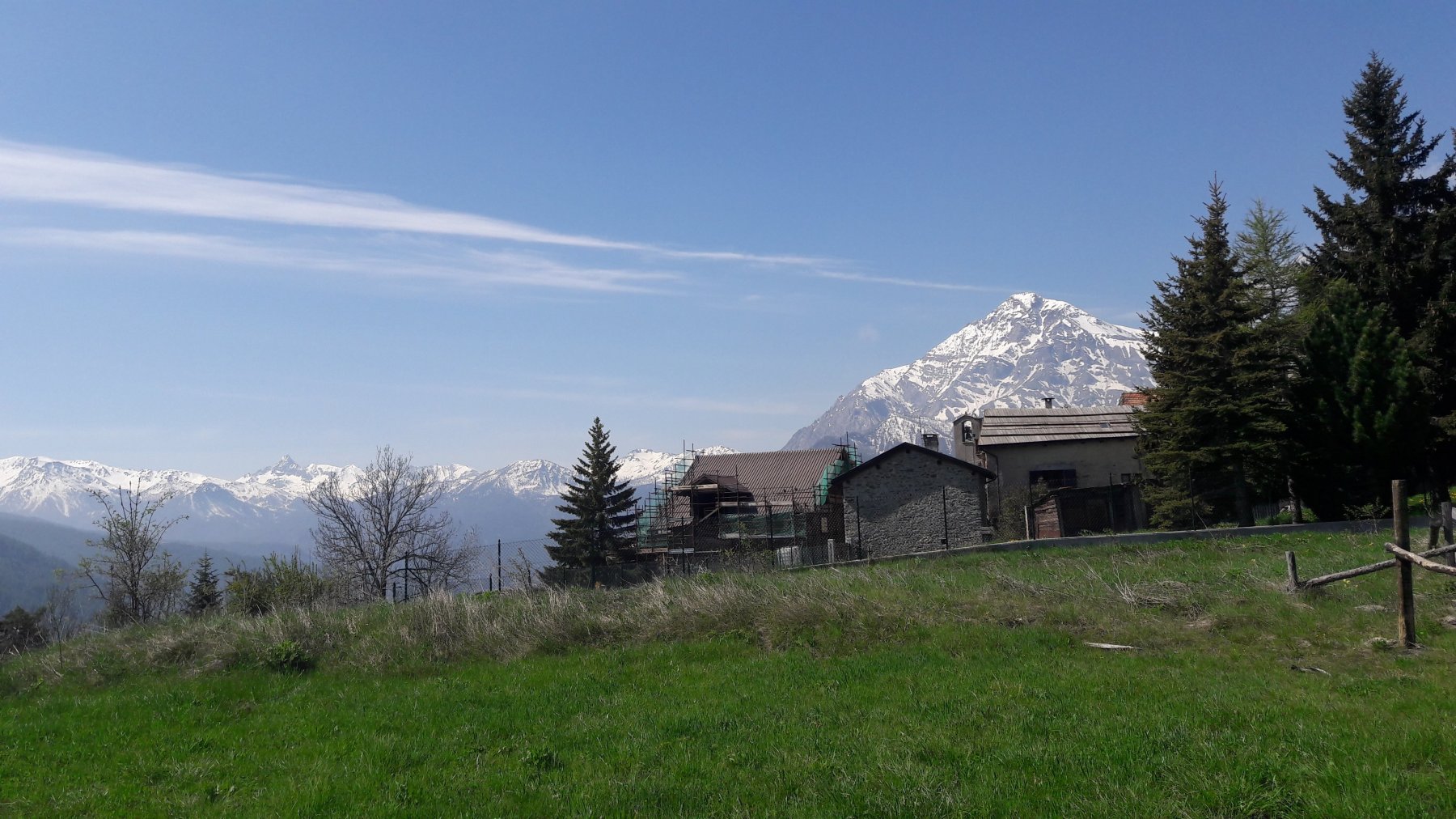
Dal Colletto Pramand si prosegue sulla strada sterrata in direzione ovest raggiungendo dopo poche centinaia di metri l’ingresso della Galleria dei Saraceni (riaperta nel 2018) da attraversare con una buona torcia (il sentiero esterno ormai è franato e non più utilizzabile).
Immediatamente fuori da questo breve tunnel si segue il sentiero che porta alla fine della Galleria dei Saraceni e nuovamente sulla strada.
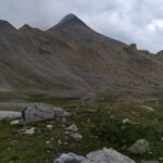
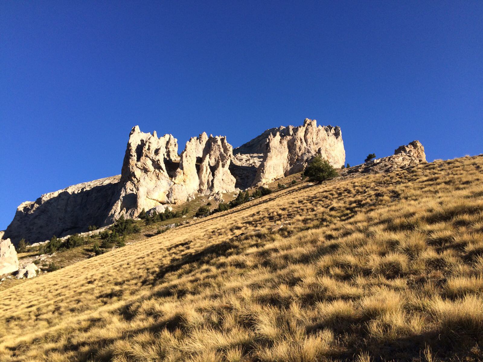
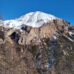
Qualche centinaio di metri oltre la galleria si segue il sentiero verso destra con indicazioni Vin Vert, Seguret, ecc. giungendo prima al Colletto Vin Vert e poi alla vetta omonima.
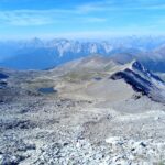
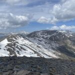
Si scende rapidamente al Col Basset (è consigliabile tornare dal Colletto Vin Vert) e dopo poche centinaia di metri si imbocca un ripido ed evidente sentiero che ci farà attraversare i Rochers de l’Aigle. Sempre seguendo il sentiero si ritorna sulla strada che si seguirà fino alla colletta baraccamenti Jafferau e da qui o su scorciatoie o per la strada militare fino alla cima con il Jafferau.
Ritorno dal percorso di salita, oppure dal Col Basset più lungamente seguendo la strada sterrata ritornando alla Galleria dei Saraceni.
- Cartografia:
- Alta Valle Susa 1:25000 - Fraternali
Nelle vicinanze Mappa
Itinerari
07/08/2021 TO, Salbertrand D+ 839 m EE Sud-Ovest
Seguret (Monte) dal Colletto Pramand per il Colle dell’Argentera
 50m
50m
08/07/2026 TO, Salbertrand D+ 1130 m EE Sud-Ovest
Vallonetto (Cima del) dal Colletto Pramand per il Bivacco Berrone
 50m
50m
20/09/2017 TO, Salbertrand D+ 1130 m EE/F Varie
Vallonetto (Cima del) e Monte Seguret dal Colletto Pramand, anello per il Monte Vin Vert
 50m
50m
23/06/2024 TO, Oulx D+ 288 m E Nord
Gran Bosco di Salbertrand (Parco del) percorso n.8 “Le Tagliate” dal Lago Orfù
 3Km
3Km
21/05/2026 TO, Oulx D+ 1096 m E Nord-Ovest
Pramand (Forte) da Beaume
 3.3Km
3.3Km
28/01/2022 TO, Oulx D+ 1166 m E Sud
Quin o Kin (Serre du) da Beaume
 3.3Km
3.3Km
23/05/2026 TO, Oulx D+ 1640 m EE Sud
Vin Vert (Monte) da Beaume per la Serre du Kin e dorsale SE
 3.3Km
3.3Km
08/07/2023 TO, Oulx E Nord
Sentiero dei Franchi da Oulx a Sant’Ambrogio
 3.9Km
3.9Km
17/05/2014 TO, Oulx D+ 735 m E Nord
Chateau Beaulard (Frazione) da Oulx a Beaulard per il Sentiero Balcone
 4.2Km
4.2Km
21/12/2024 TO, Oulx D+ 1035 m E Varie
Madonna del Cotolivier (Cappella) da Oulx
 4.2Km
4.2Km
Servizi
5.1Km
5.1Km
paddy mc ginty Ristorante
Sauze d'Oulx
5.1Km
Il Covo di nord ovest Ristorante
Salbertrand
5.1Km
L’Cantun B&B
Sauze D'oulx
5.8Km
La Moretta Ristorante
Oulx
6.3Km
La Chardouse Rifugio
Oulx
7.8Km
Arlaud Rifugio
Salbertrand
8.3Km
Levi Molinari Rifugio
Exilles
8.4Km
L’Eitabl Ristorante
Oulx
9.5Km
