800m
800m

Note
 800m
1Km
1Km
1Km
1.5Km
1.5Km
1.5Km
1.6Km
1.6Km
1.9Km
800m
1Km
1Km
1Km
1.5Km
1.5Km
1.5Km
1.6Km
1.6Km
1.9Km
800m
3.7Km
4.2Km
5.4Km
5.4Km
5.6Km
6.5Km
6.5Km
6.7Km
6.7Km
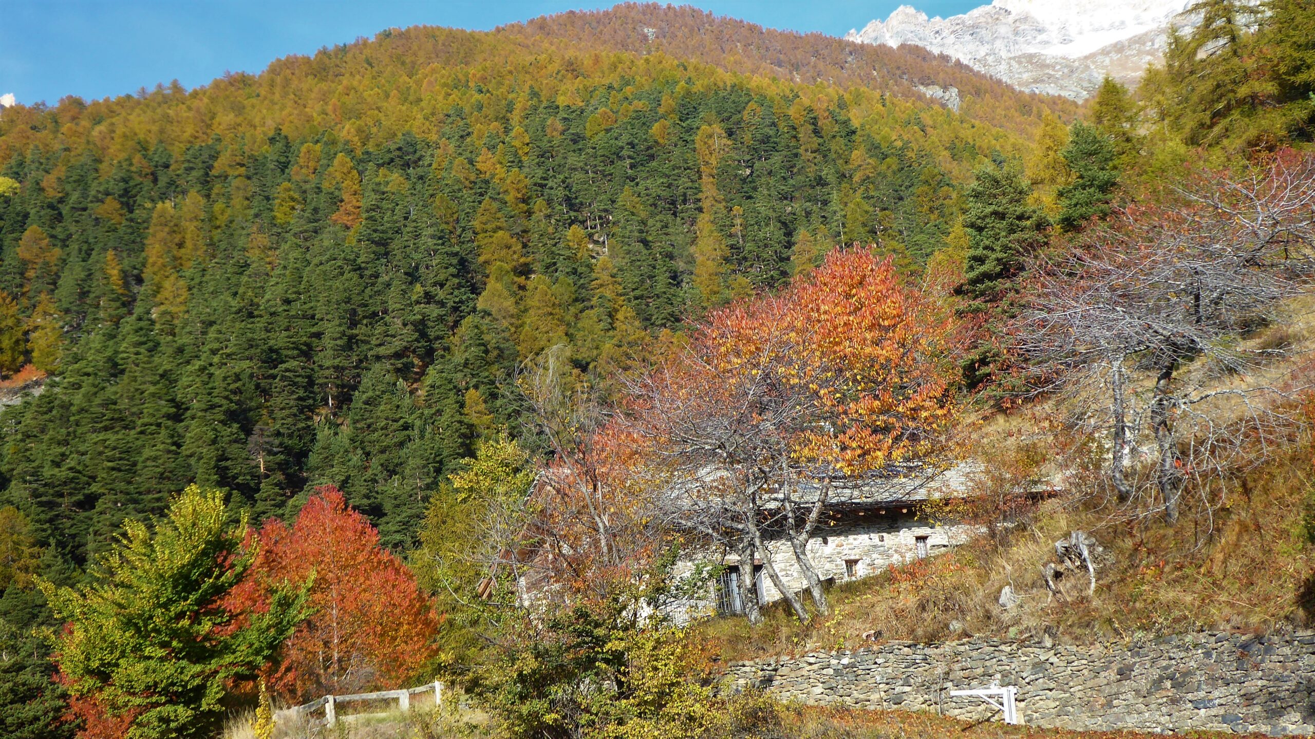
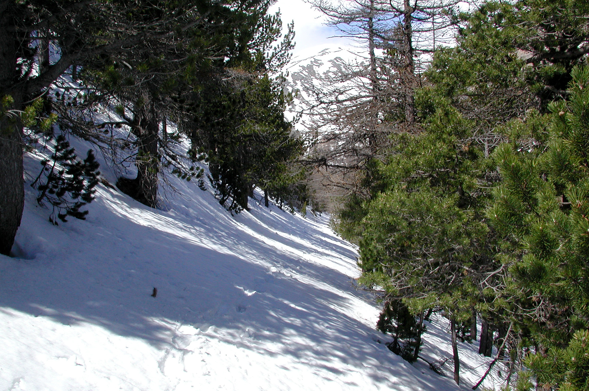
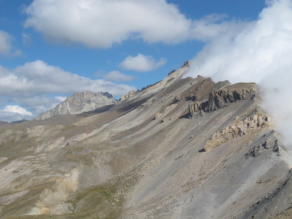
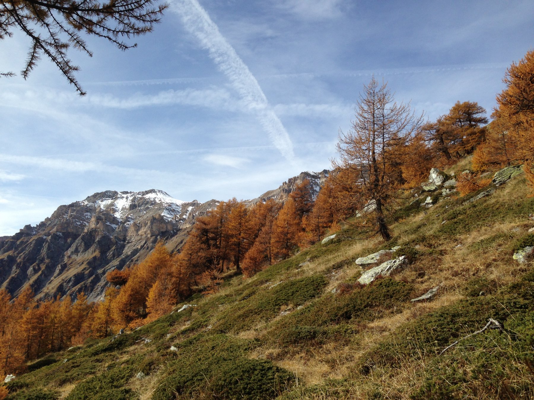
Il percorso ricalca interamente il tracciato della strada militare, grazie all'esposizione favorevole è sgombro da neve anche a inizio primavera.
Avvicinamento
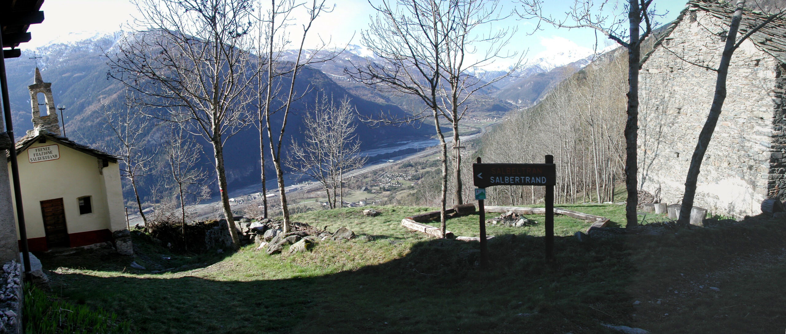
Da Susa continuare verso Oulx fino al bivio per Eclause - Grange della Valle. Dopo breve imboccare la deviazione per Pramand, che si segue fino alla borgata Moncellier.
Descrizione
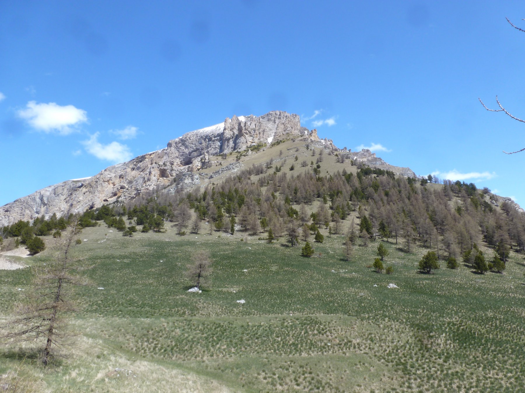
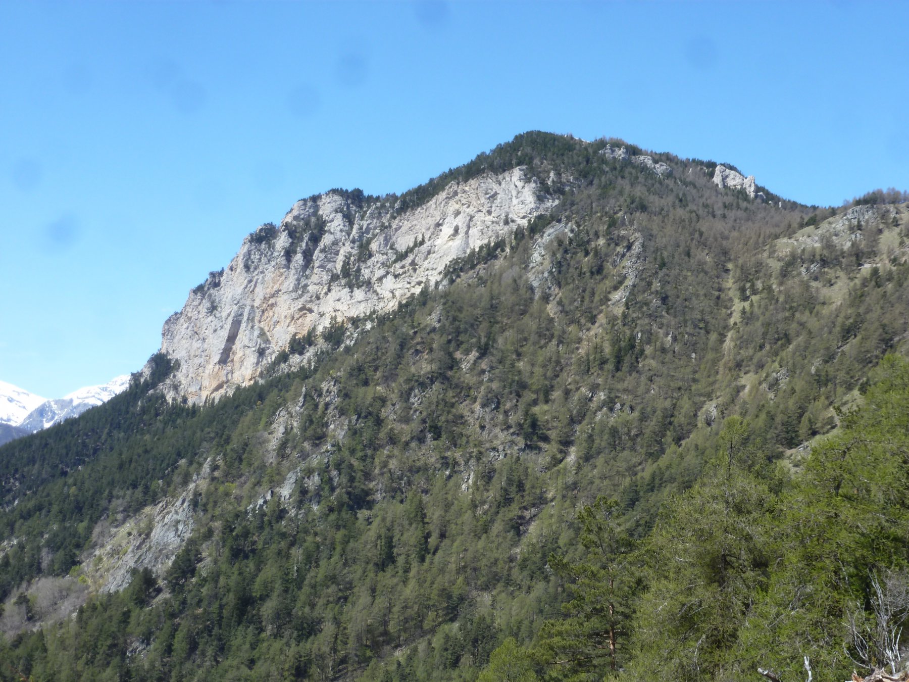
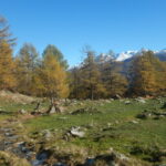
Da Moncellier si segue fedelmente la strada sterrata, senza possibilità di errore nè di tagli (in quanto compie un lungo traverso) fino a raggiungere il Colletto Pramand, alla base del Monte Seguret.
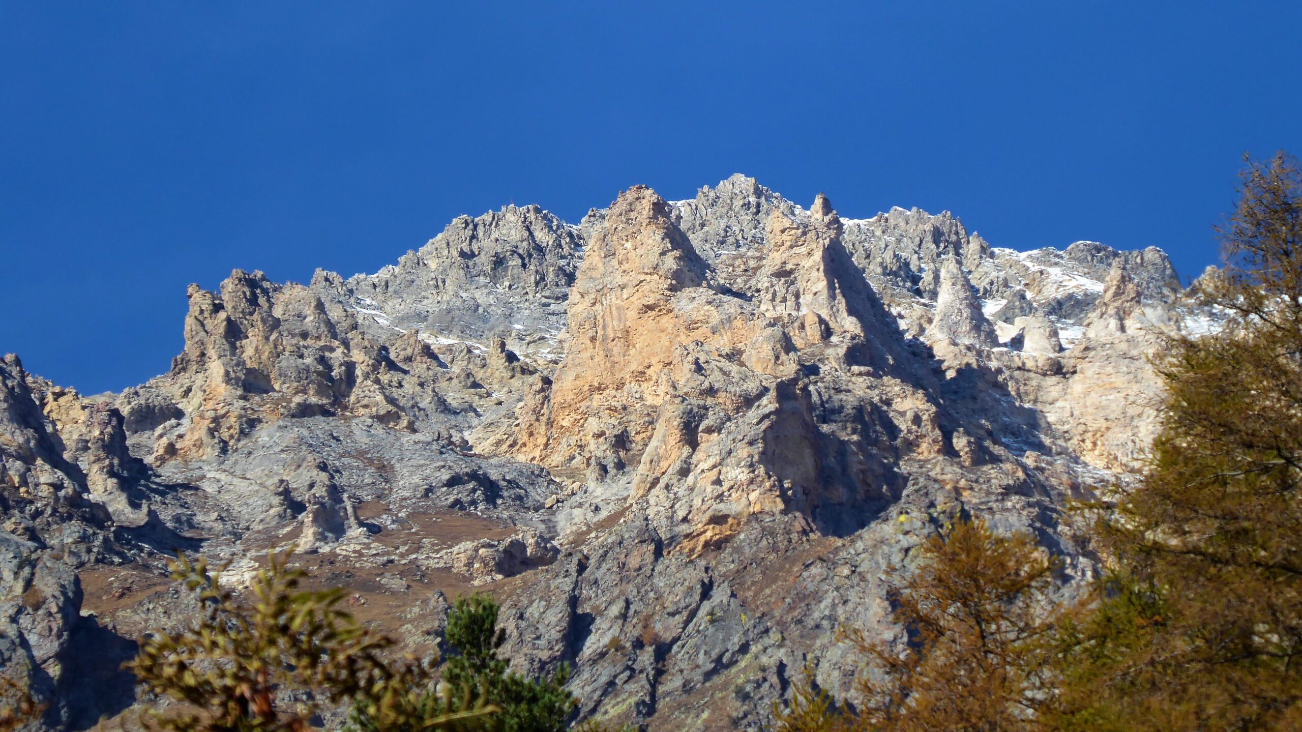
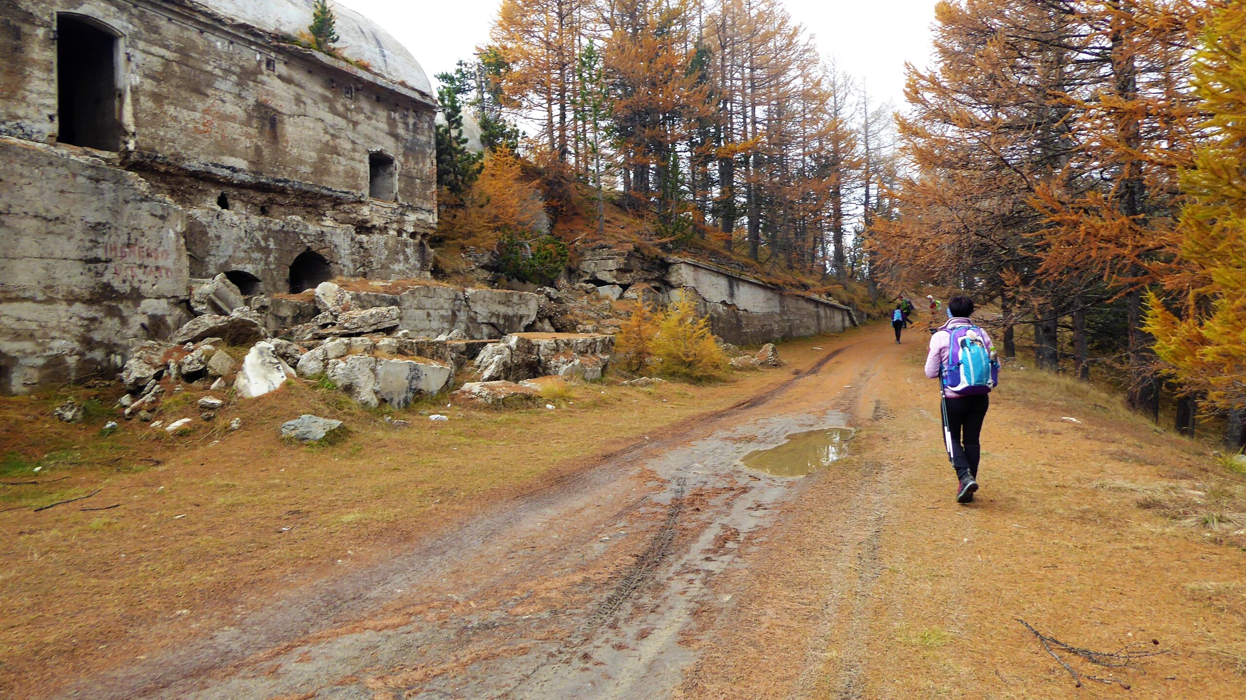
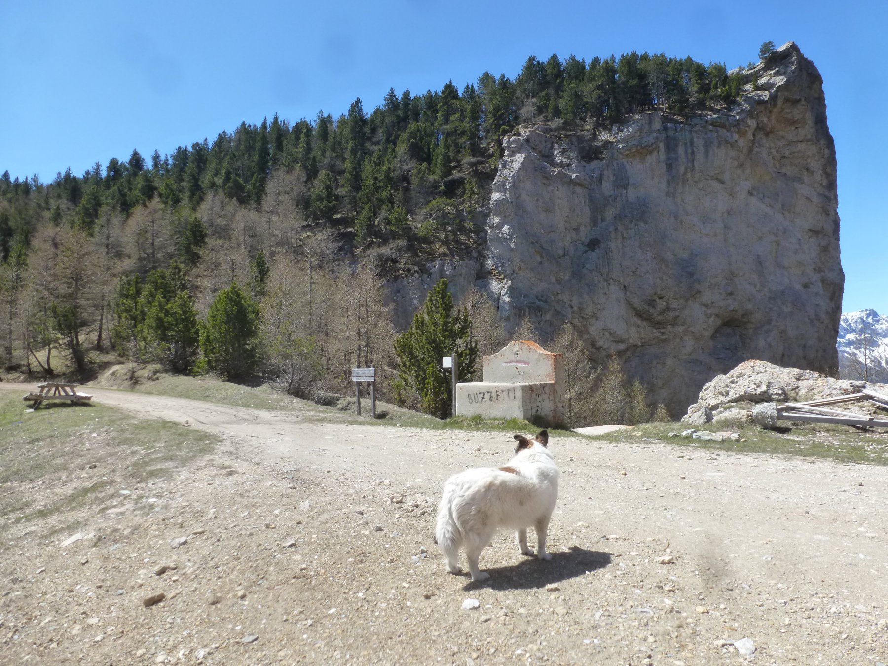
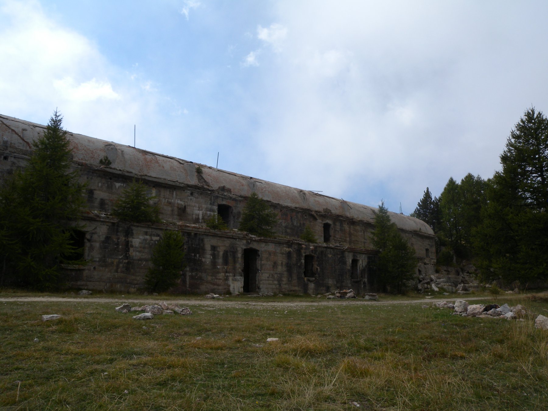
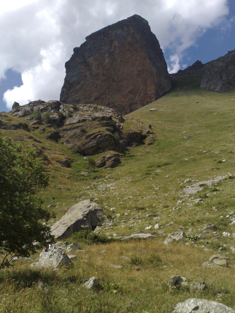
Dal Colletto si segue la sterrata erbosa a sinistra, e dopo aver passato un primo rudere, in breve si raggiungono i resti del Forte Pramand, e quindi la spianata erbosa sommitale.
La lunghezza del percorso solo andata è di circa 7 km
Nelle vicinanze Mappa
Itinerari
24/03/2024 TO, Salbertrand D+ 408 m T Sud
Moncellier, Eclause (Frazioni) da Salbertrand, anello
 800m
800m
12/09/2015 TO, Salbertrand D+ 1380 m EE/F Sud-Est
Vallonetto (Cima del) da Grange Hubert
 1Km
1Km
17/09/2017 TO, Salbertrand D+ 958 m EE/F Sud-Est
Argentera (Colle dell’) da Grange Hubert per la Via Rossa
 1Km
1Km
04/08/2018 TO, Salbertrand D+ 1200 m EE/F Sud-Est
Seguret (Monte) da Grange Hubert per la Via Rossa
 1Km
1Km
09/04/2026 TO, Salbertrand D+ 720 m E Varie
Arlaud Daniele (Rifugio) da Salbertrand
 1.5Km
1.5Km
13/12/2020 TO, Salbertrand D+ 700 m E Est
Buissonière, Etanche (Case) da Salbetrand, anello del Gran Bosco
 1.5Km
1.5Km
26/04/2026 TO, Salbertrand D+ 1517 m E Nord-Ovest
Mottas (Testa di) da Salbertrand per il Rifugio Arlaud e il Col Lauson
 1.5Km
1.5Km
09/08/2012 TO, Salbertrand D+ 9500 m EE Nord
Troncea, Lago Verde, Jervis, Giacoletti, Melezè (Rifugi) traversata Valle di Susa – Val Varaita traversata (6 gg)
 1.6Km
1.6Km
13/11/2025 TO, Salbertrand D+ 1299 m E Sud
Casses Blanches da Eclause
 1.6Km
1.6Km
26/10/2025 TO, Salbertrand D+ 743 m E Varie
Chabriere (Monte) da Selle Marre, anello per Grange della Valle
 1.9Km
1.9Km
Servizi
800m
3.7Km
Arlaud Rifugio
Salbertrand
4.2Km
Levi Molinari Rifugio
Exilles
5.4Km
La Quadriglia Ristorante
Exilles
5.4Km
L’ultima stisa Ristorante
Exilles
5.6Km
Touplan Ristorante
Exilles
6.5Km
orto del frate Ristorante
Sauze d'Oulx
6.5Km
paddy mc ginty Ristorante
Sauze d'Oulx
6.7Km
Casa Assietta Rifugio
Pragelato
6.7Km