3.9Km
3.9Km
Descrizione
 50m
50m
50m
50m
50m
1.9Km
2.2Km
2.2Km
2.6Km
50m
50m
50m
50m
50m
1.9Km
2.2Km
2.2Km
2.6Km
3.9Km
4Km
4Km
4Km
5.1Km
5.2Km
6.5Km
7Km
7Km
7.4Km
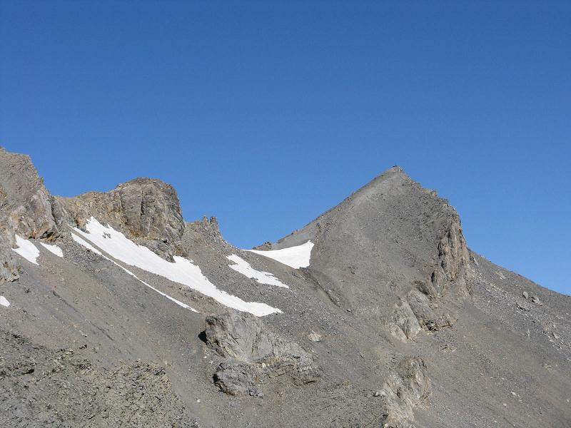
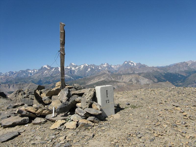
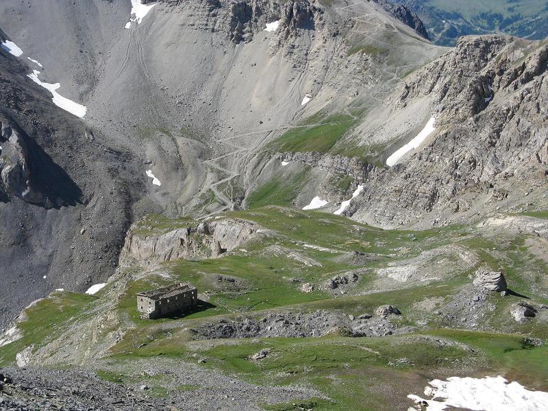
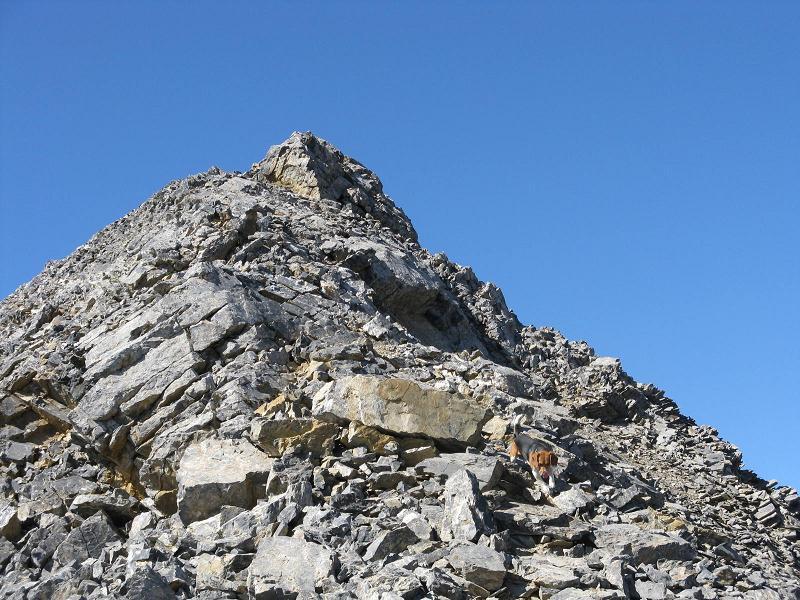
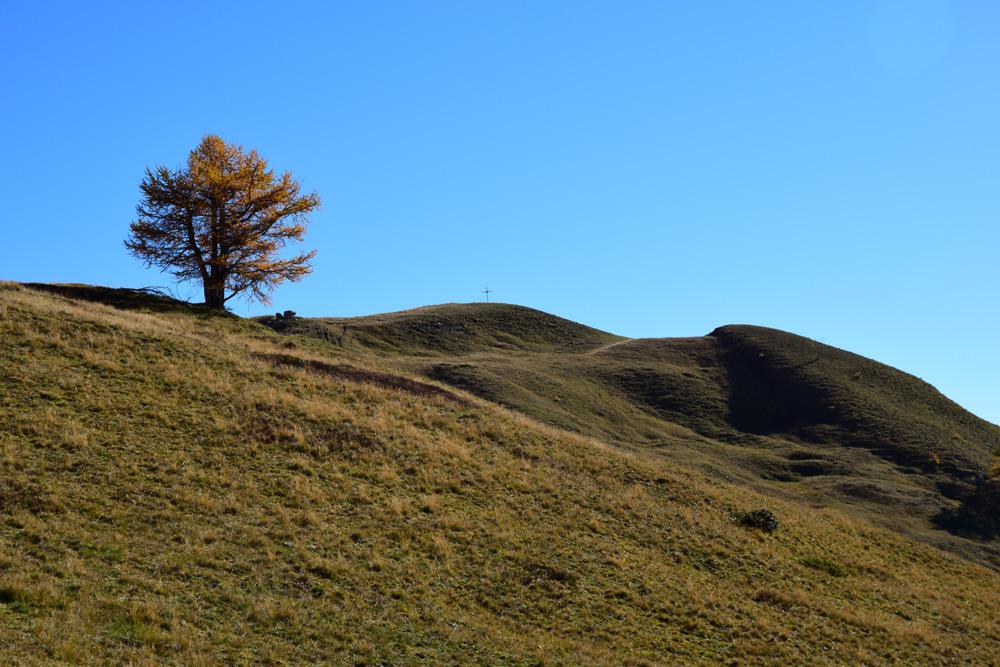
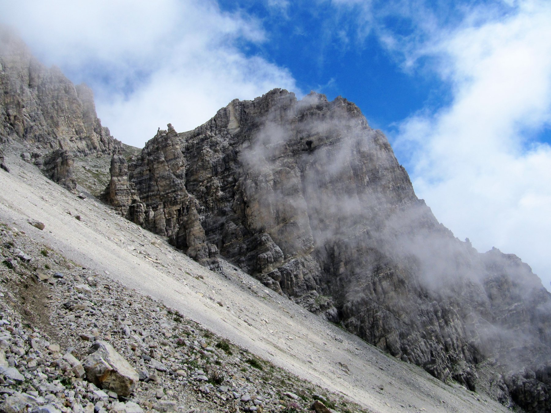
Da Fenils di Cesana si segue la vecchia strada militare che sale allo Chaberton. Arrivati a Pra Claud, caratteristico borgo montano, si lascia l’auto (sbarra con divieto di accesso ai veicolo a motore, moto comprese) e si prosegue verso il Colle dello Chaberton (attenzione all’alpeggio subito dopo Pra Claud: presenza di numerosi cani non troppo mansueti!). Dopo ca. h. 1.30/1.40 si arriva alle diroccate Grange Quagliet al Pian dei Morti (da Pra Claud Km. 5,750, altezza mt. 2450), qui (al fondo del piano nei pressi di una curva a sx.) si abbandona la carrareccia e si prende un sentiero sulla dx. che sale a zig zag rapidamente per zone erbose sino ad un fortino diroccato. Si prosegue in direzione E, toccando la Croce del Vallonetto (mt. 2730), fino alla cresta S.E. (mt. 2840); si percorre tutta la cresta sino in punta. Una particolare attenzione agli ultimi 50 mt. di salita piuttosto esposti (Km. complessivi di salita 8,420).
Per la discesa si può abbreviare il percorso percorrendo, dalla Croce del Vallonetto, l’avvallamento di sx. seguendolo interamente sino all’inizio del Pian dei Morti.
Nelle vicinanze Mappa
Itinerari
21/10/2012 TO, Cesana Torinese D+ 700 m E Varie
Nera (Cresta) da Prà Claud
50m
09/06/2026 TO, Cesana Torinese D+ 751 m E Sud-Est
Gardiol (Punta) da Prà Claud, anello per Desertes
 50m
50m
30/09/2018 TO, Cesana Torinese D+ 1200 m E Varie
Vallonetto (Croce del) da Pra Claud
 50m
50m
14/07/2021 TO, Cesana Torinese D+ 1293 m EE Sud-Est
Clotesse (Punta) da Pra Claud per il Passo Desertes
 50m
50m
12/07/2017 TO, Cesana Torinese D+ 1530 m E Nord-Est
Chaberton (Monte) da Prà Claud
 50m
50m
23/08/2024 TO, Cesana Torinese D+ 1500 m EE Sud
Chalanche Ronde (Pointe de) da Prà Claud
 50m
50m
10/07/2019 TO, Oulx D+ 1191 m EE Est
Lago (Rocca del) da Desertes per il Passo di Desertes
 1.9Km
1.9Km
24/05/2025 TO, Cesana Torinese D+ 1200 m EE Sud-Est
Gardiol (Punta) da Fenils per Cima Finet, Monte Pessiol e Cima Curran
 2.2Km
2.2Km
13/11/2021 TO, Cesana Torinese D+ 353 m T Sud-Est
Rosso (Colletto) e Colletto Grigio da Fenils, anello per Prà Claud
 2.2Km
2.2Km
12/08/2022 TO, Cesana Torinese D+ 1150 m EE Varie
Rochers Charniers (Pointe des) e Pointe de Chalance Ronde da Pourachet per Punta Gardiol
 2.6Km
2.6Km
Servizi
3.9Km
4Km
L’Ibarus Rifugio
Cesana Torinese
4Km
Piergiorgio Frassati B&B
Cesana Torinese
4Km
Casa Cesana Bar
Cesana Torinese
5.1Km
La Chardouse Rifugio
Oulx
5.2Km
L’Eitabl Ristorante
Oulx
6.5Km
La Moretta Ristorante
Oulx
7Km
Guido Rey Rifugio
Oulx
7Km
Dell’Orsa Bar
Oulx
7.4Km