3.2Km
3.2Km
Note
 50m
750m
2Km
2.2Km
2.2Km
2.2Km
2.2Km
2.2Km
2.2Km
50m
750m
2Km
2.2Km
2.2Km
2.2Km
2.2Km
2.2Km
2.2Km
3.2Km
3.2Km
3.2Km
3.3Km
4.4Km
5.3Km
5.8Km
6.5Km
7.3Km
7.9Km
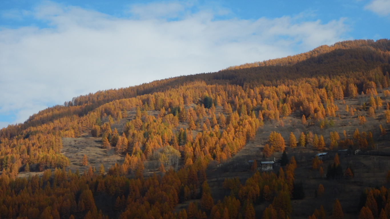
Percorso ad anello di 6.5 km, adatto alle mezze stagioni.
Avvicinamento
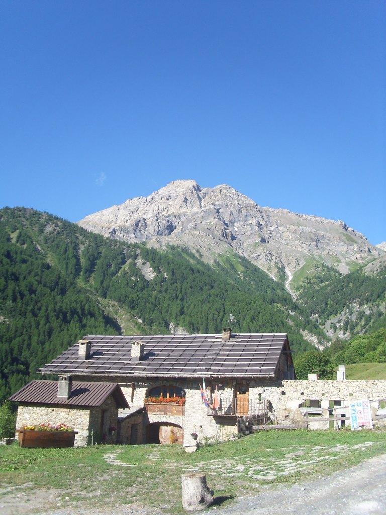
Da Oulx, seguendo la SS24 del Monginevro. Raggiunto il bivio per Fenils (semaforo), scendere a destra attraversando il ponte sulla Ripa, e posteggiare successivamente nel parcheggio all'ingresso della frazione.
Descrizione
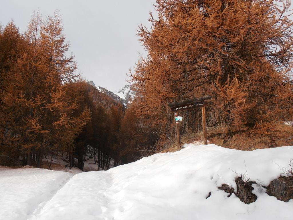
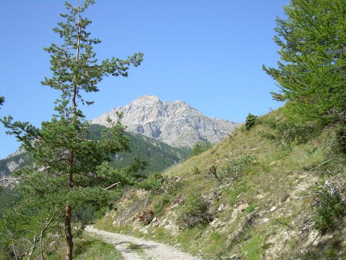
Dalla borgata prendere la strada in salita verso il borgo di Fenils e, percorsi circa 100 m, deviare a dx (cartello indicatore per Colletto Grigio) e seguire la carrareccia che si inerpica con ampi tornanti fino al Colletto Grigio 1566 m.
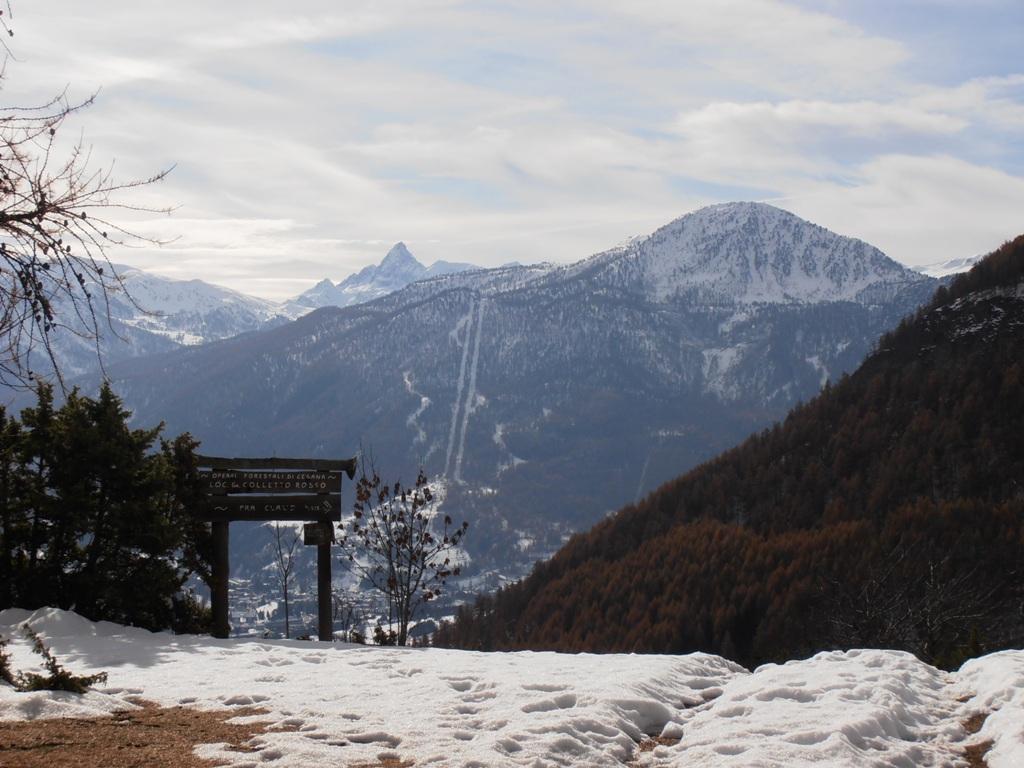
Proseguire in leggera discesa, ignorare il sentiero pianeggiante a destra che conduce alla borgata di Desertes, e continuare a sinistra con una breve salita fino al Colletto Rosso 1616 m.
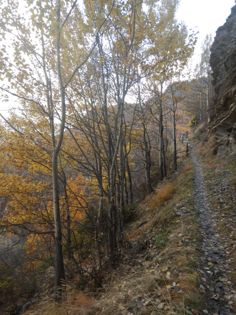
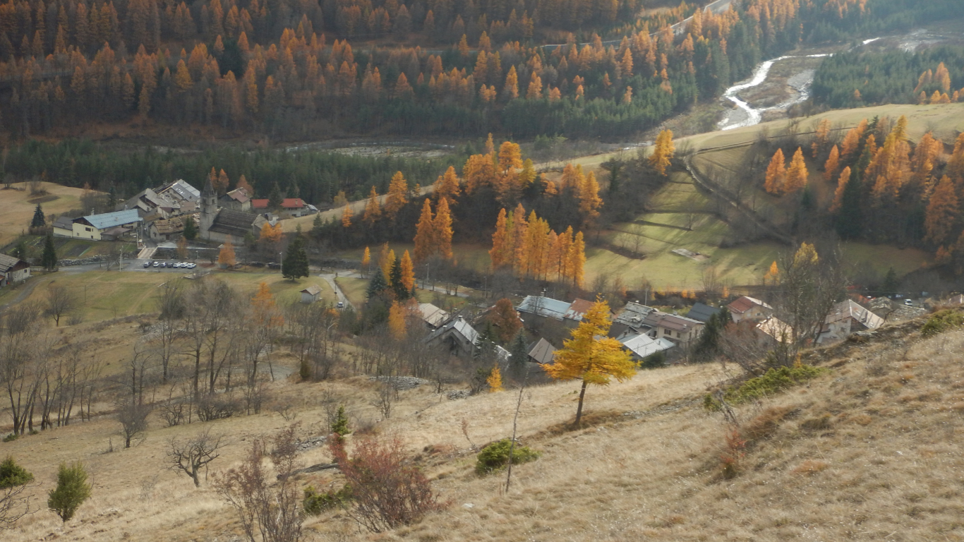
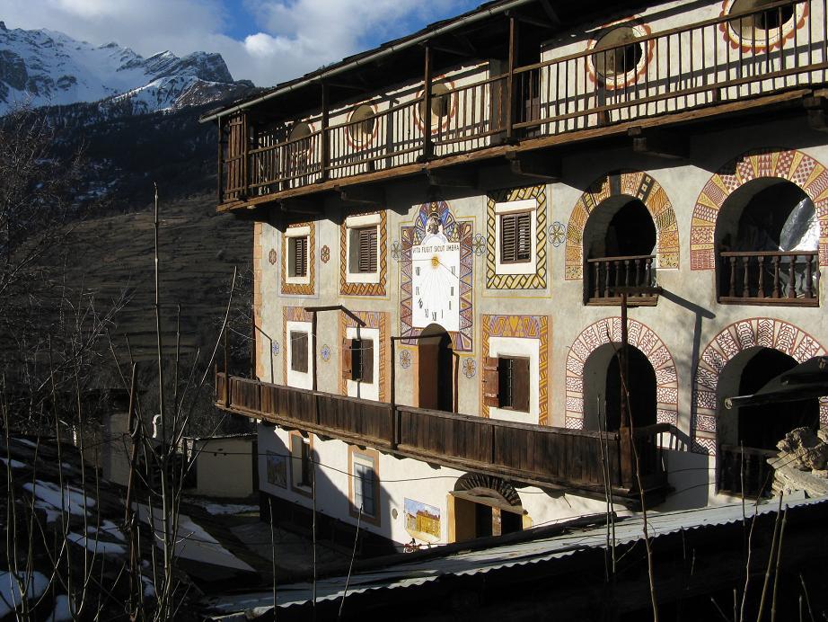
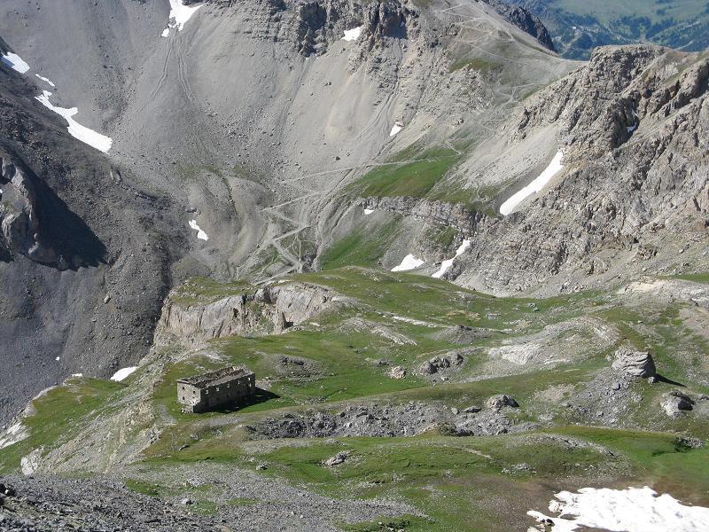
Dal Colletto scendere brevemente fino ad un gruppo di case, continuare in piano prestando attenzione nell’attraversamento di un dirupo roccioso dove il sentiero è sostenuto da tronchi orizzontali, sino alla frazione Prà Claud 1585 m.
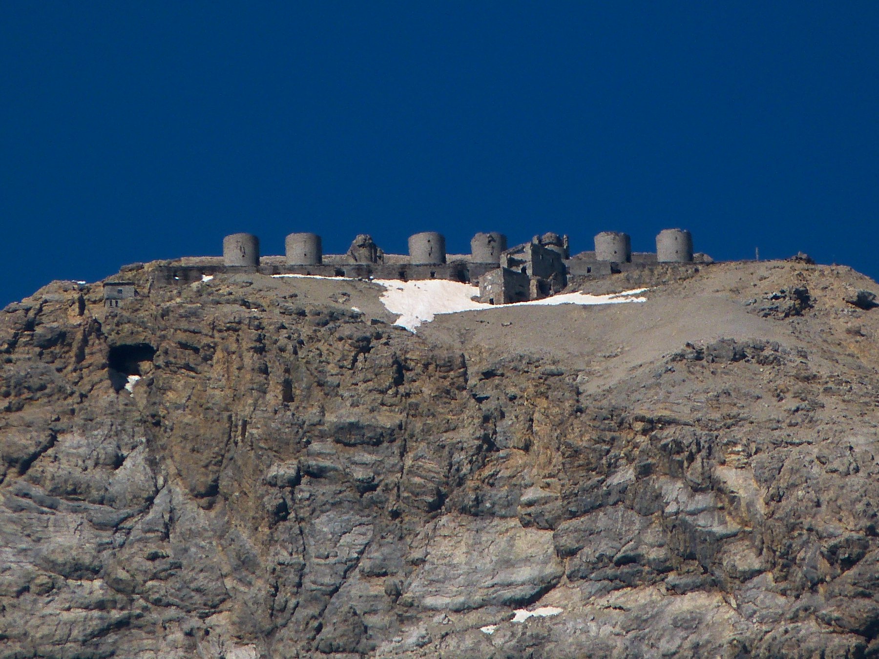
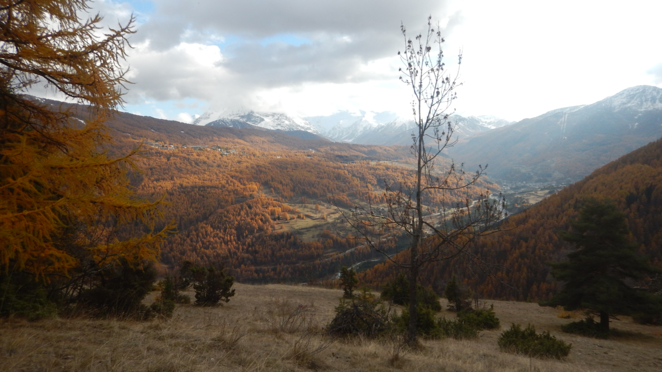
Da Pra Claud fare ritorno a Fenils usufruendo o della carrozzabile (la vecchia strada militare che sale sino allo Chaberton) o utilizzando le scorciatoie.
- Cartografia:
- IGC 105 1:25.000
Nelle vicinanze Mappa
Itinerari
24/05/2025 TO, Cesana Torinese D+ 1200 m EE Sud-Est
Gardiol (Punta) da Fenils per Cima Finet, Monte Pessiol e Cima Curran
 50m
50m
23/08/2025 TO, Cesana torinese D+ 625 m E Nord-Ovest
Autagne (Alpeggio) da Solomiac, anello per Colombiere e Mollieres
 750m
750m
10/07/2019 TO, Oulx D+ 1191 m EE Est
Lago (Rocca del) da Desertes per il Passo di Desertes
 2Km
2Km
23/08/2024 TO, Cesana Torinese D+ 1500 m EE Sud
Chalanche Ronde (Pointe de) da Prà Claud
 2.2Km
2.2Km
12/07/2017 TO, Cesana Torinese D+ 1530 m E Nord-Est
Chaberton (Monte) da Prà Claud
 2.2Km
2.2Km
25/07/2009 TO, Cesana Torinese D+ 1474 m EE Sud-Est
Rochers Charniers (Pointe des) da Prà Claud e il Pian del Morti
 2.2Km
2.2Km
21/10/2012 TO, Cesana Torinese D+ 700 m E Varie
Nera (Cresta) da Prà Claud
2.2Km
09/06/2026 TO, Cesana Torinese D+ 751 m E Sud-Est
Gardiol (Punta) da Prà Claud, anello per Desertes
 2.2Km
2.2Km
14/07/2021 TO, Cesana Torinese D+ 1293 m EE Sud-Est
Clotesse (Punta) da Pra Claud per il Passo Desertes
 2.2Km
2.2Km
30/09/2018 TO, Cesana Torinese D+ 1200 m E Varie
Vallonetto (Croce del) da Pra Claud
 2.2Km
2.2Km
Servizi
3.2Km
3.2Km
L’Ibarus Rifugio
Cesana Torinese
3.2Km
Piergiorgio Frassati B&B
Cesana Torinese
3.3Km
Casa Cesana Bar
Cesana Torinese
4.4Km
La Chardouse Rifugio
Oulx
5.3Km
La Moretta Ristorante
Oulx
5.8Km
Centro Ristorante
Cesana Torinese
6.5Km
L’Eitabl Ristorante
Oulx
7.3Km
La Fontana del Thures Rifugio
Cesana Torinese
7.9Km