2.4Km
2.4Km
Note
 4.2Km
4.3Km
7.3Km
7.3Km
7.4Km
7.9Km
9.4Km
4.2Km
4.3Km
7.3Km
7.3Km
7.4Km
7.9Km
9.4Km
2.4Km
3.5Km
4.1Km
4.1Km
4.5Km
4.9Km
5Km
5.3Km
5.7Km
5.7Km
Bella escursione a quote basse, ideale nei periodi post nevicate per l’assenza di pericoli oggettivi; volendo si percorre interamente su interpoderale.
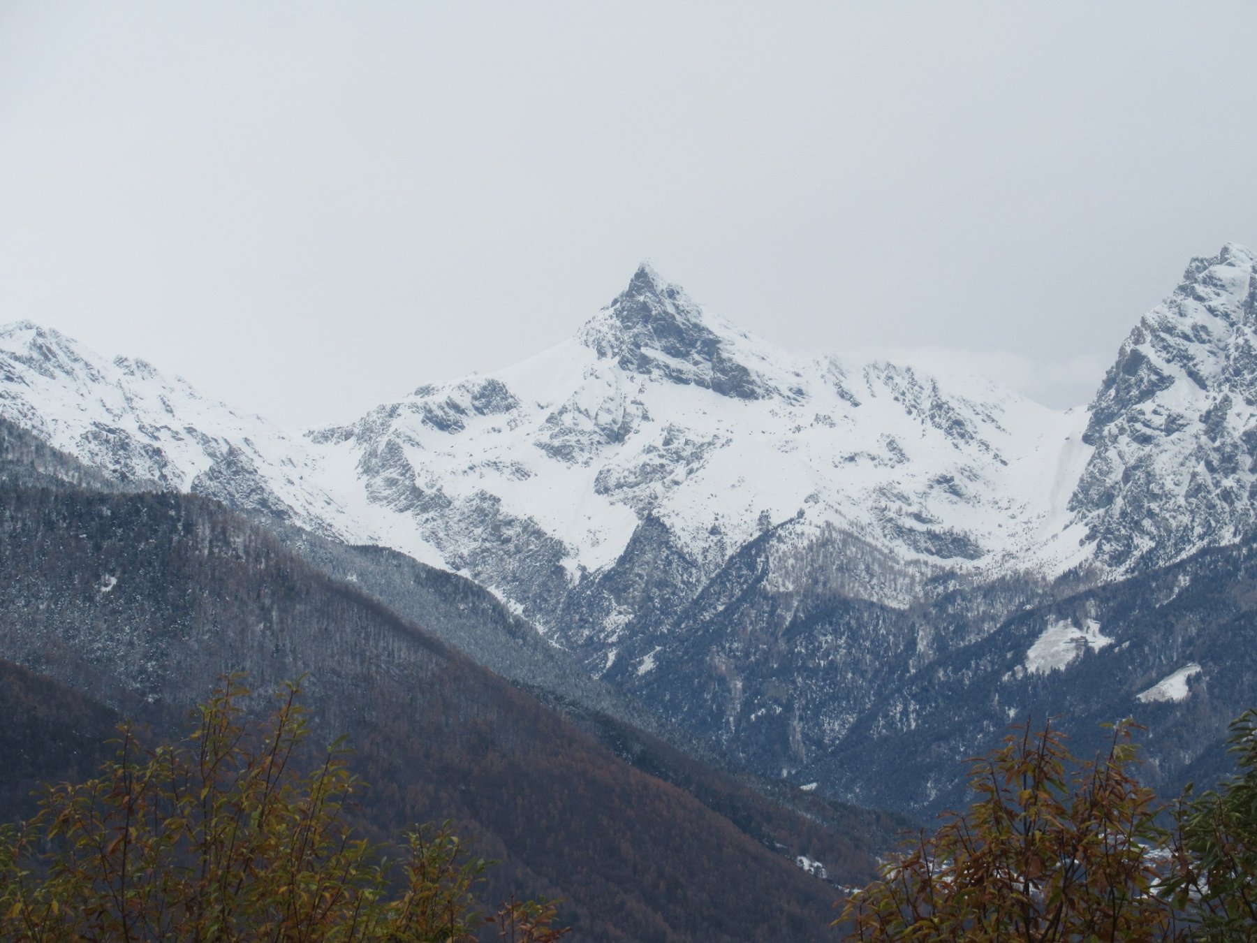
Ottimi punti panoramici sul fondovalle VdA e sulla valle d’Ayas. Mediamente lunga ma priva di difficoltà tecniche (3h 20’). E’ possibile partire da Omens 790m accorciando di una oretta (-340m).
Avvicinamento
Ottimi punti panoramici sul fondovalle VdA e sulla valle d’Ayas. Mediamente lunga ma priva di difficoltà tecniche (3h 20’). E’ possibile partire da Omens 790m accorciando di una oretta (-340m).
Dall’uscita del casello autostradale di Verres procedere in direzione Gressoney e prima di svoltare a sx per affrontare i primi tornanti proseguire al centro del borgo vecchio di Verres e passato il ponte prendere la strada che sale sulla sx con indicazione Castello e di li a poco si trova un parcheggio dove lasciare l’auto (eventualmente salire fino a quota 530m dove sulla dx vi e’ un piccolo parcheggio proprio all’imbocco della mulattiera che sale in direzione nord nord est).
Descrizione
Quindi o dal parcheggio nei pressi del Castello o da quello a quota 530m, che si raggiunge sulla strada asfaltata sempre pulita, si percorre la bella mulattiera che porta direttamente senza incertezze all’agriturismo di Omens 790m;
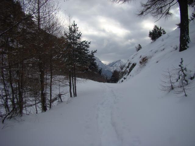
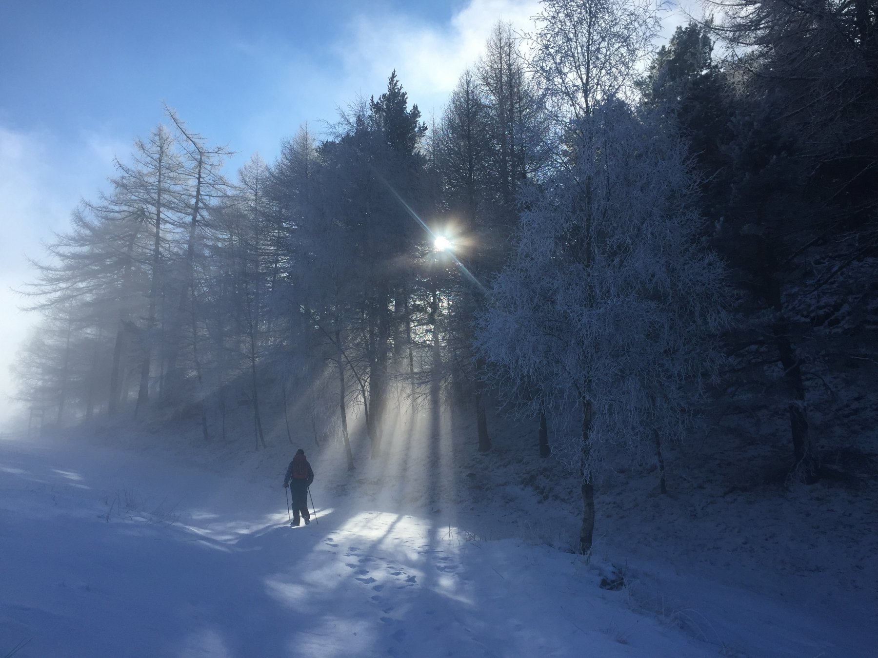
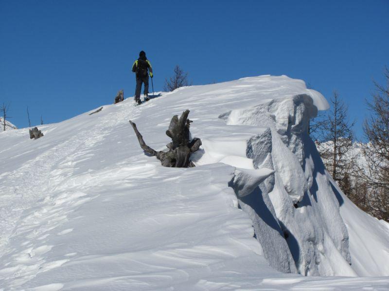
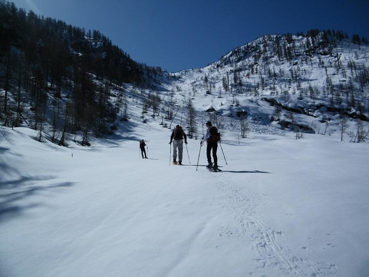
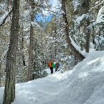
di qui la strada diviene con divieto di accesso, normalmente è tenuta sgombra da neve ma percorribile con le ciaspole.
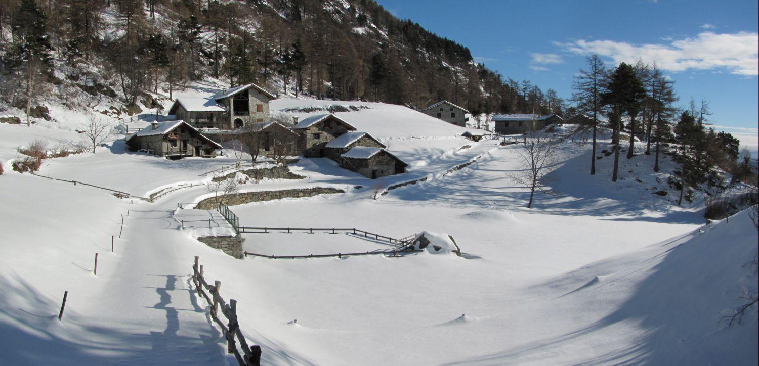
La si percorre interamente in direzione sud passando da Pontarey 960m (o loc Polarey) dove sale ad ampie curve in direzione sud sud est sino a raggiungere l’alpe Champore 1165m dove la poderale prosegue passando dietro le case ora non più pulita.
A quota 1310m si incrocia una deviazione a sx per loc Vert ma si prosegue dritto e dopo un 100m di disl. si raggiunge Col Vert 1471m dove la poderale prosegue scendendo a Fornelle (sul versante del sentiero che sale da Barmes-Arnad).
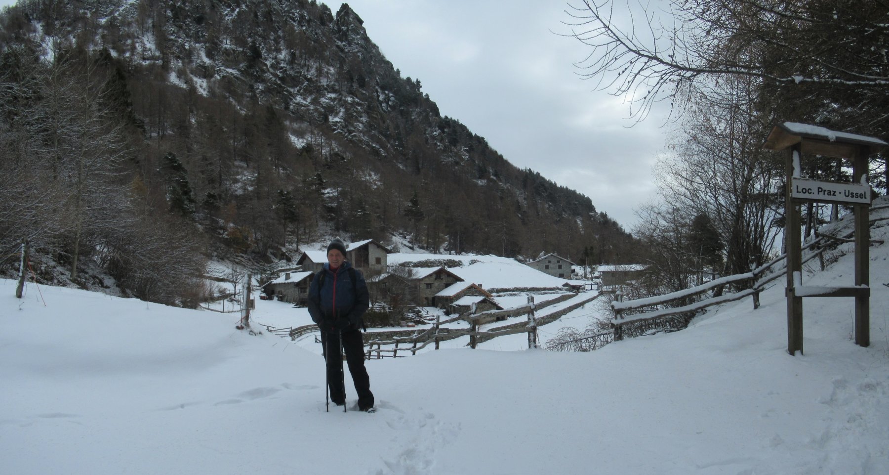
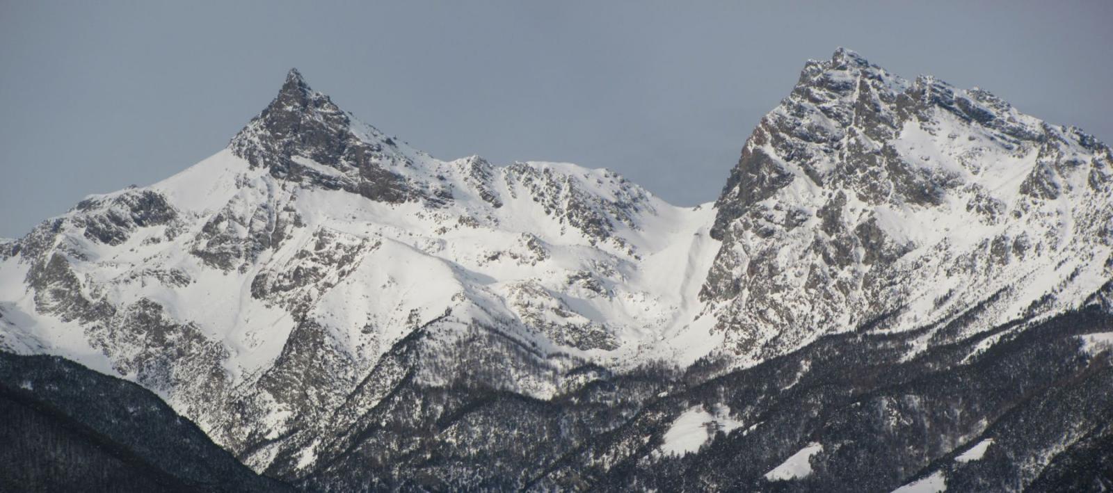
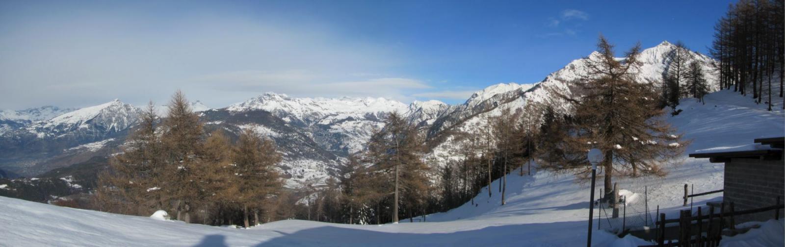
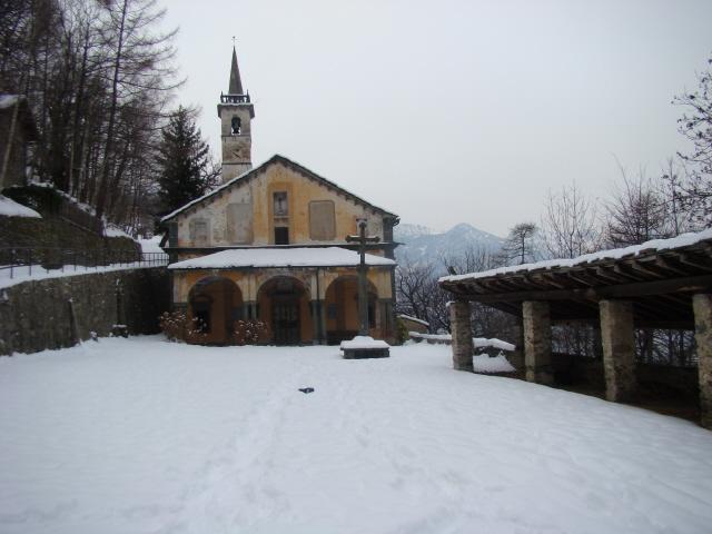
Si prosegue tenendo la sx sino a raggiungere loc Praz Ussel (o Pravesse) 1459m; vale la pena fare un giro nei pressi e godere il panorama verso il fondovalle e l’imbocco della VdA.
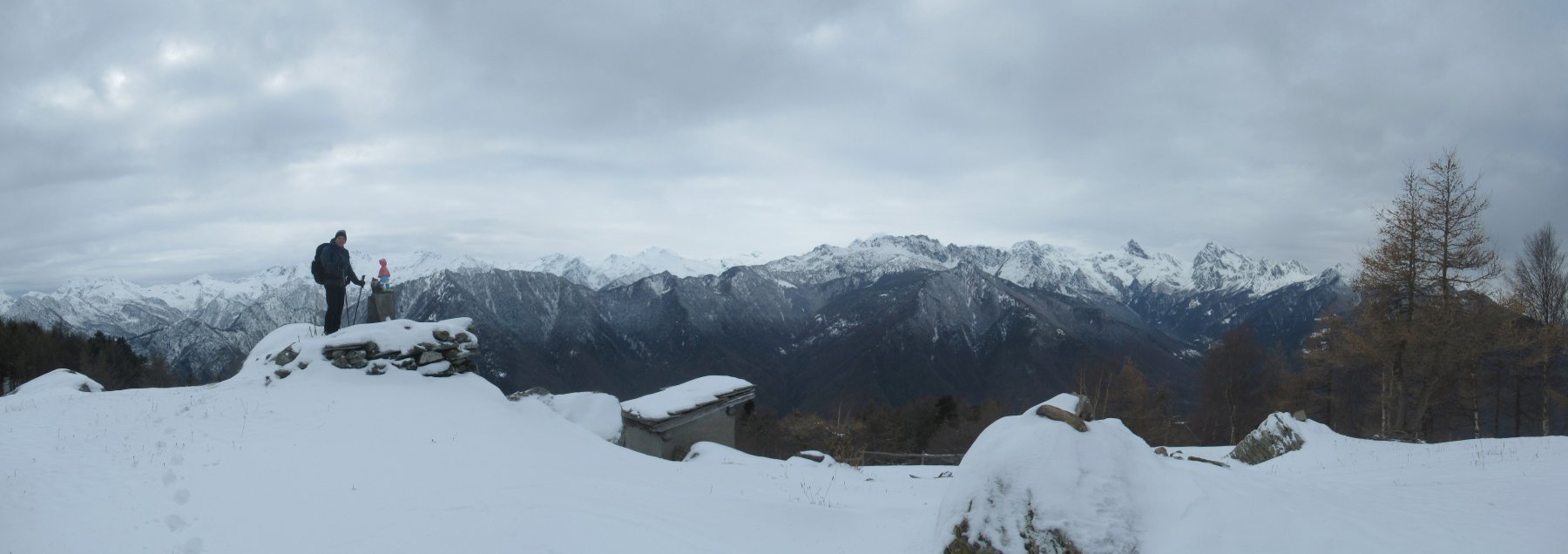
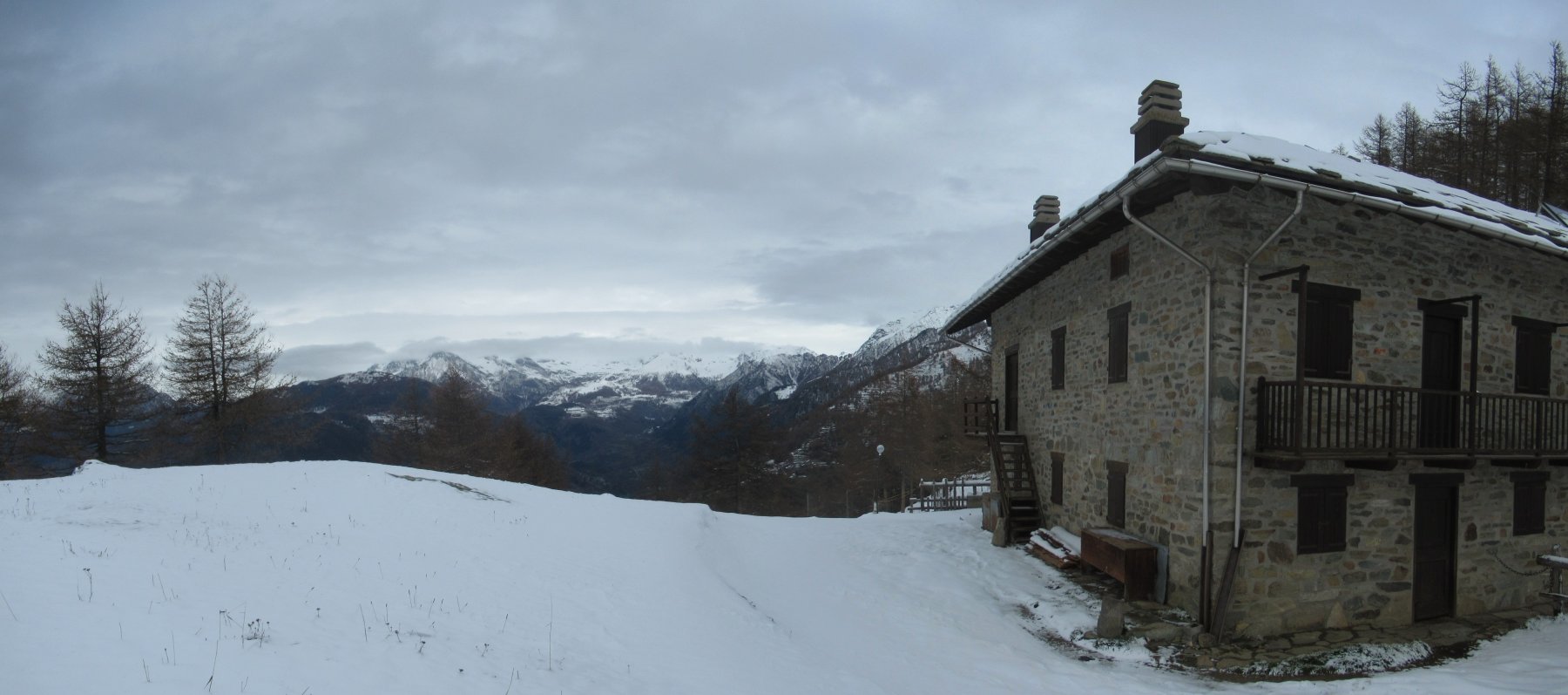
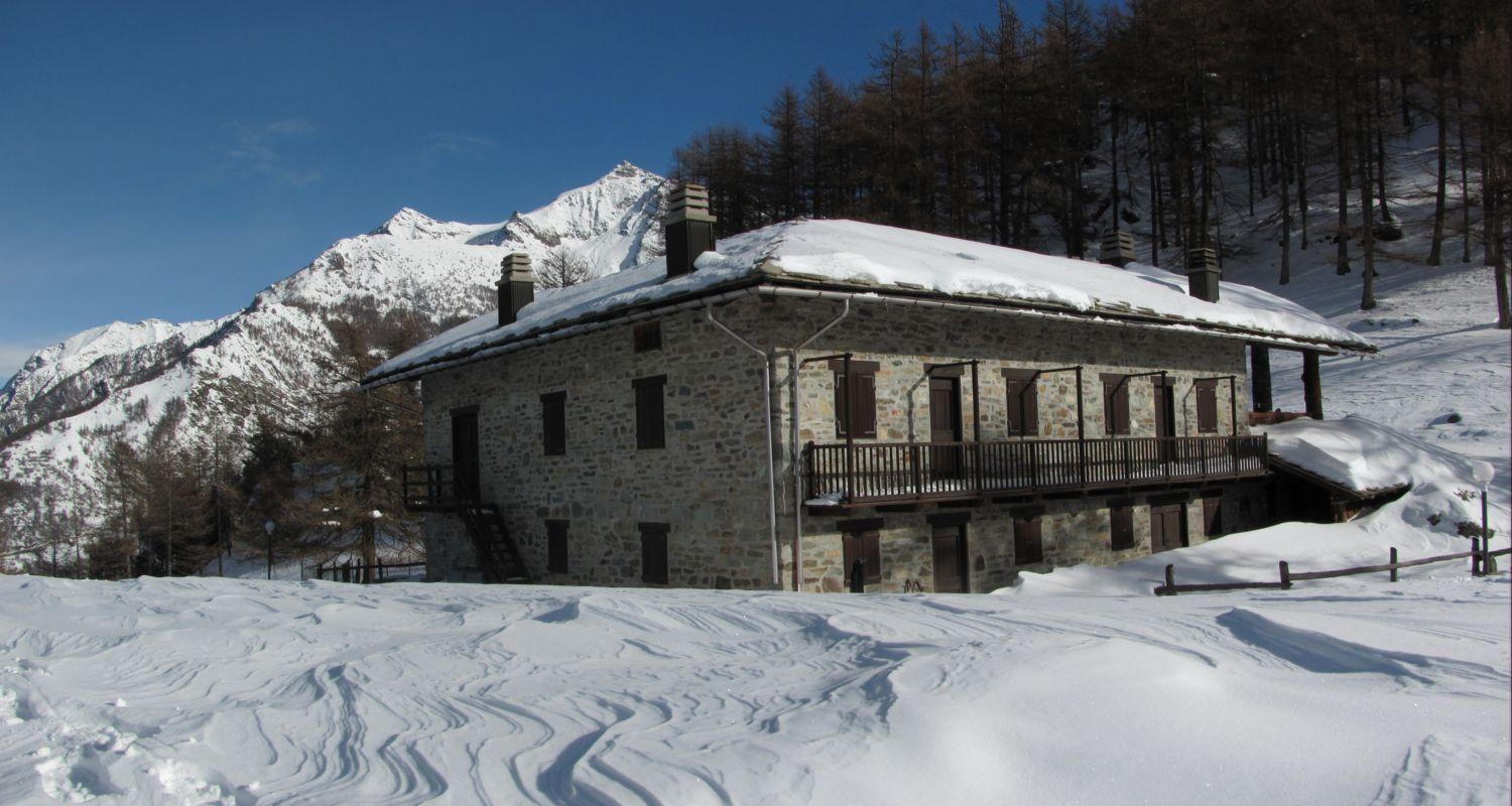
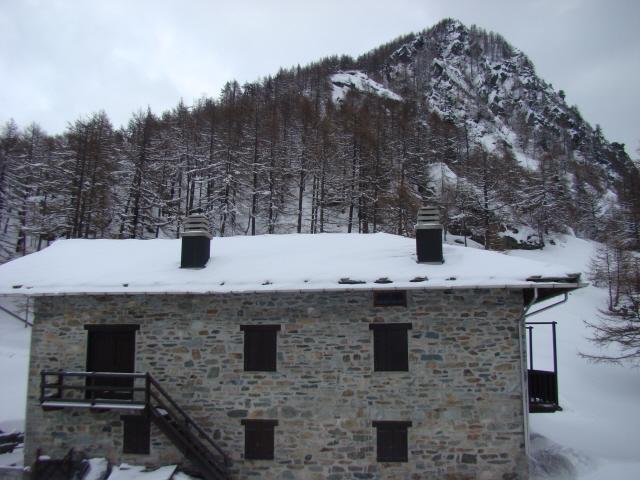
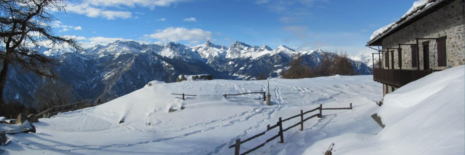
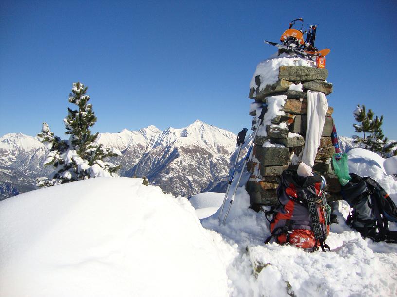
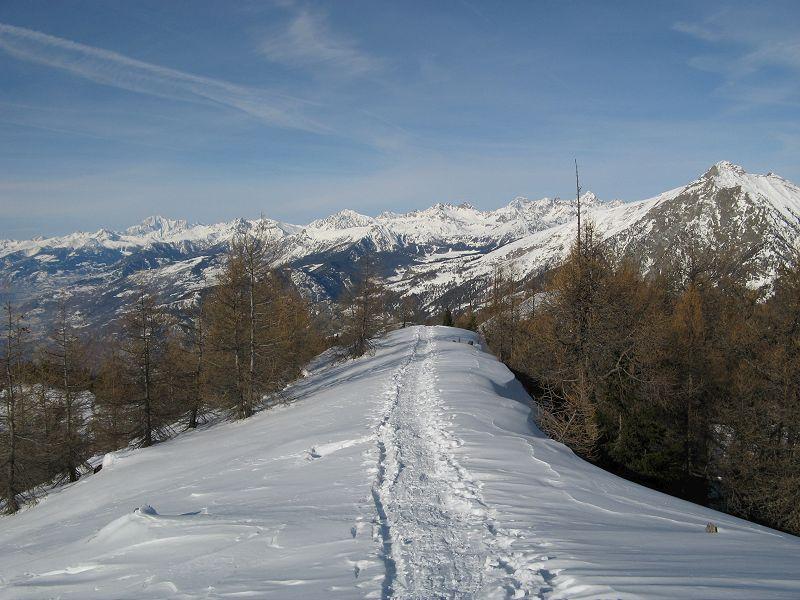
Ritornati sulla poderale, poco prima di Parz Ussel la si percorre in salita e di li a poco si raggiunge l’alpe Seura 1559m nostra meta; da dove è possibile godere di un ampio panorama sulla valle centrale, su tutta la val d’Ayas, e di rimpetto lo Zerbion con la dorsale che sale da Promiod (classica ski e ciaspole).
Si ridiscende per lo stesso itinerario
- Cartografia:
- Basse valli d’Ayas e Gressoney n.12 1:25000 ed: l’Escursionista
Nelle vicinanze Mappa
Itinerari
31/03/2013 AO, Issogne D+ 1250 m MR Sud
Gavin (Bec) da Vesey
 4.2Km
4.2Km
16/01/2010 AO, Arnad D+ 830 m MR Nord
Cou (Tête de) da Arnad per Machaby
 4.3Km
4.3Km
21/03/2018 AO, Emarese D+ 576 m MR Sud
Comagna (Testa di) da Sommarese
 7.3Km
7.3Km
02/02/2025 AO, Challand-Saint-Anselme D+ 150 m T Sud
Joux (Col de) da Sommarese
 7.3Km
7.3Km
06/02/2019 AO, Challand-Saint-Anselme D+ 608 m MR Sud-Est
Comagna (Testa di) da Arbaz
 7.4Km
7.4Km
04/05/2013 AO, Pontboset D+ 1130 m BR Nord
Pousseuil (Mont) da Pontboset/Crest per il Santuario di Retempio e Col Pousseuil
 7.9Km
7.9Km
06/04/2013 AO, Champorcher D+ 1350 m OR Nord
Laris (Bec) da Outre l’Eve, anello per i valloni Vercoche, Laris, Chardonney
8.8Km
04/09/2005 AO, Champorcher D+ 600 m MR Varie
Vercoche (Alpe) da Outre l’Eve
8.8Km
08/01/2005 AO, Champorcher D+ 598 m MR Varie
Saint Antoine (Località) da Outre l’Eve per la Valle della Legna
8.8Km
23/03/2025 AO, Champdepraz D+ 520 m MR Nord-Ovest
Servaz (Lago) da Veulla
 9.4Km
9.4Km
Servizi
2.4Km
3.5Km
Dell’Isola Ristorante
Arnad
4.1Km
Des amies Ristorante
Arnad
4.1Km
Old Valley Pub Ristorante
Arnad
4.5Km
La Kiuva Ristorante
Arnad
4.9Km
Da Vincenzo Ristorante
Montjovet
5Km
Nigra Albergo
Montjovet
5.3Km
L’Arcaden Ristorante
Arnad
5.7Km
La Chemin de la Luge Ristorante
Hone 5.7Km
5.7Km