550m
550m
Avvicinamento
 2.1Km
3Km
4Km
5.5Km
5.6Km
5.7Km
5.7Km
5.9Km
6.2Km
2.1Km
3Km
4Km
5.5Km
5.6Km
5.7Km
5.7Km
5.9Km
6.2Km
550m
650m
650m
2.1Km
2.3Km
3.2Km
3.3Km
3.3Km
3.7Km
5.7Km
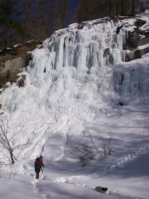
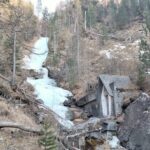
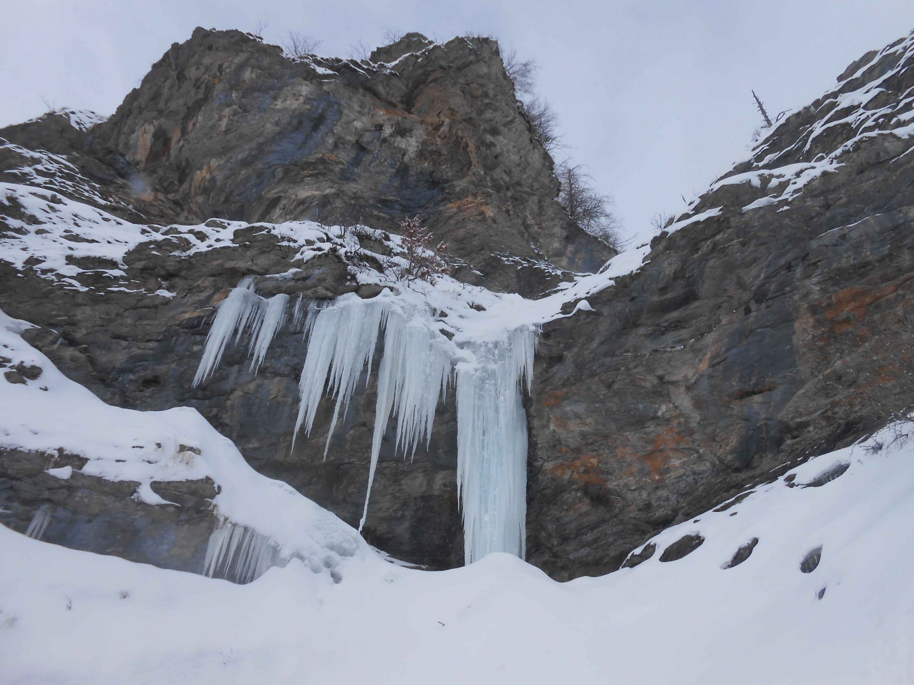
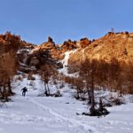
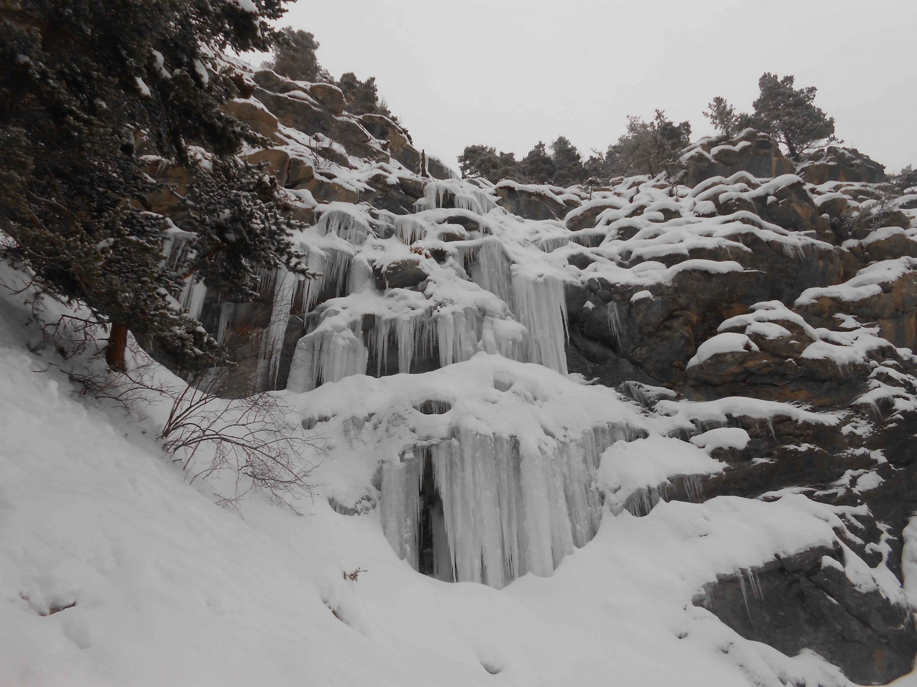
Da Pragelato superare il ponte che conduce ai trampolini. Si può parcheggiare l'auto subito dopo il ponte, o risalire direttamente la strada, tra una fila di seconde case(senza svoltare a dx), al termine della quale c'è un parcheggio privato (libero in settimana). Dal parcheggio attraversare il ponte e risalire lungo il torrente. In due minuti si giunge al muro di ghiaccio.
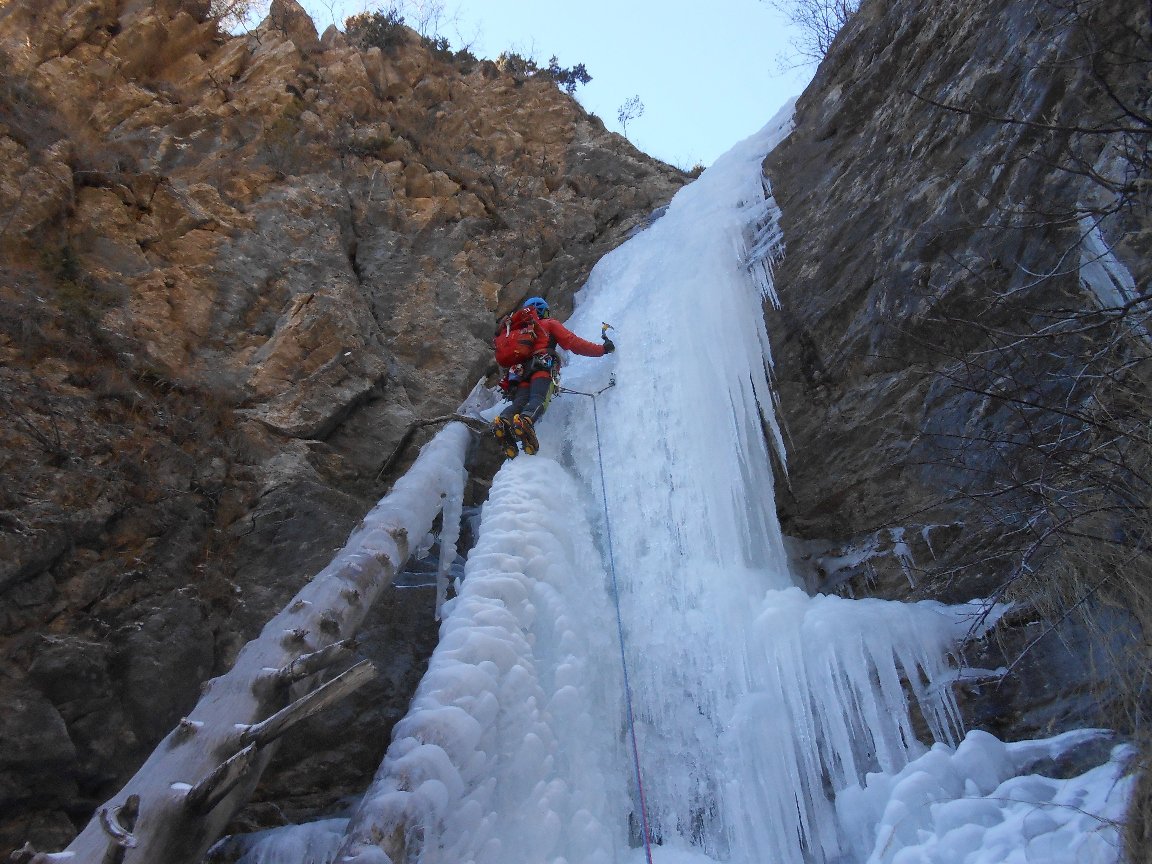
Descrizione
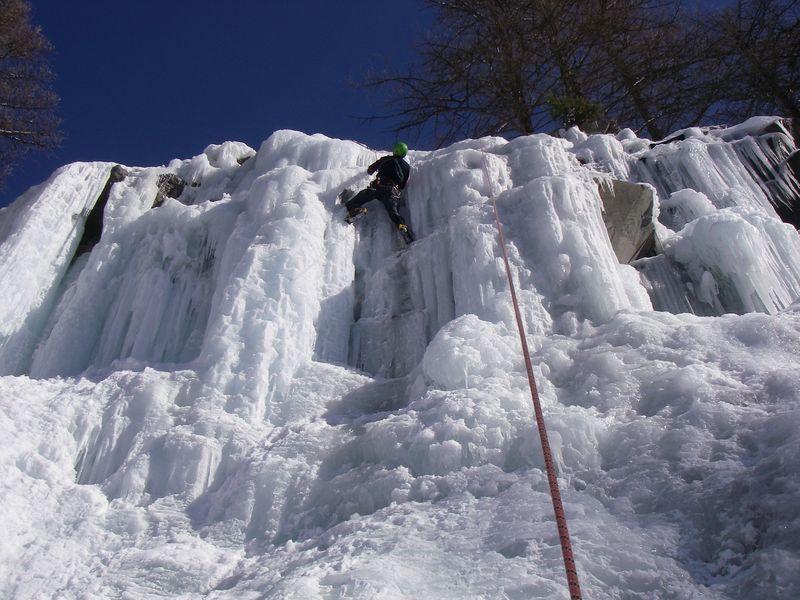
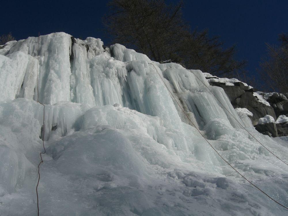
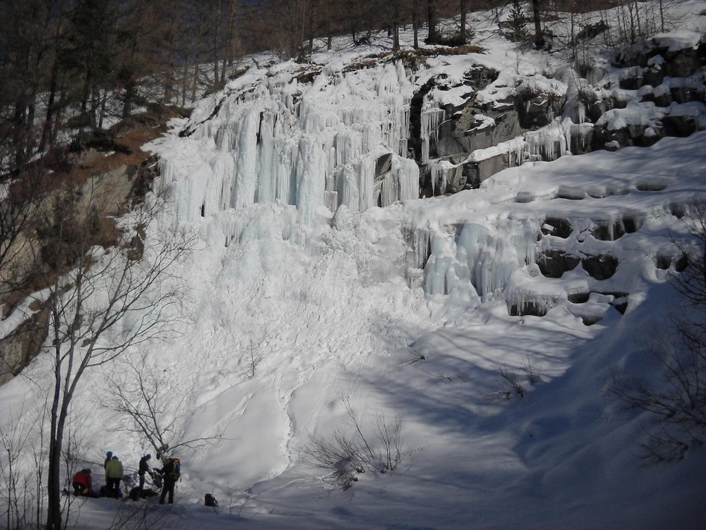
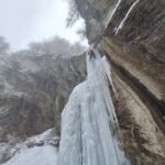
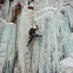
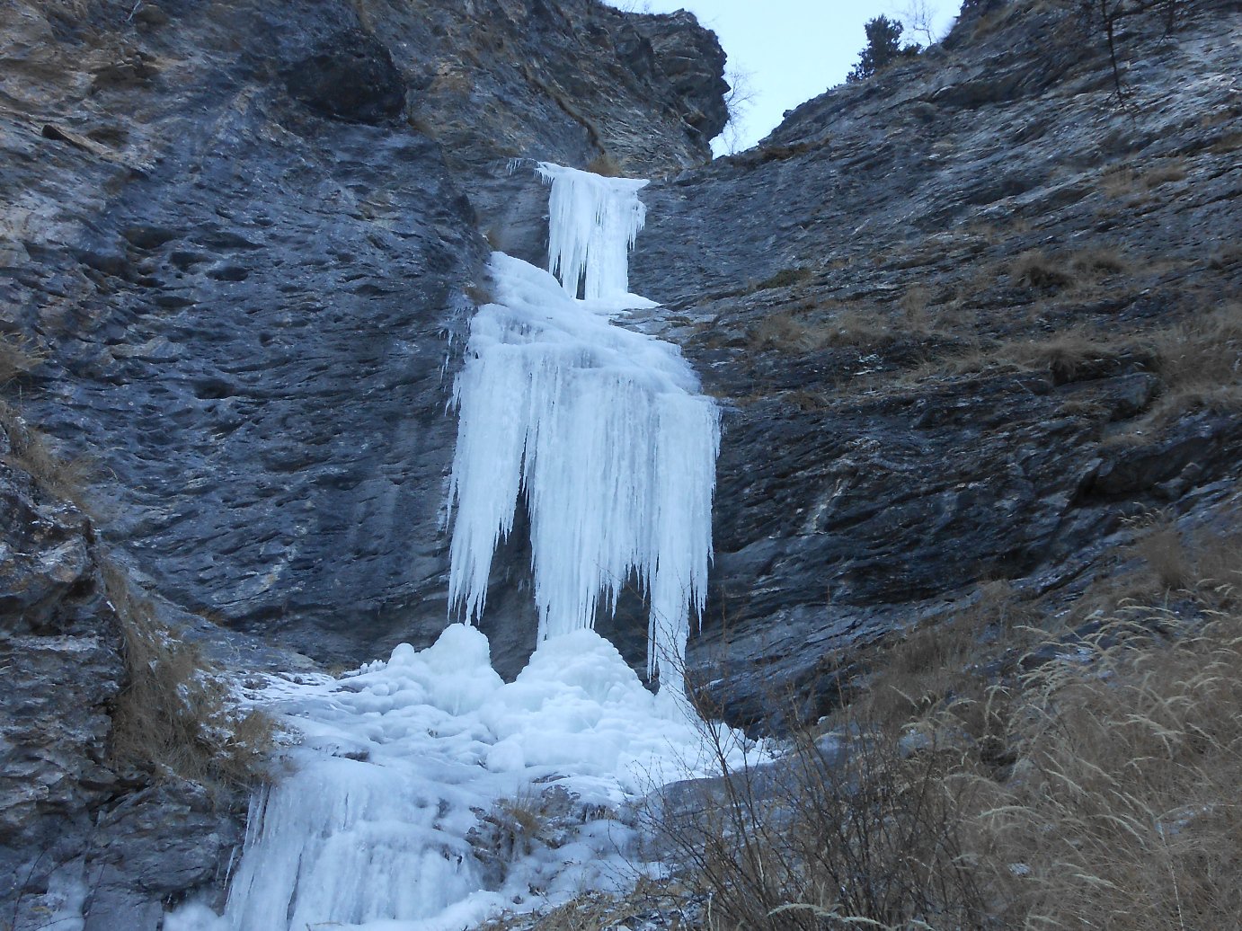
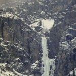
Si tratta di una ex cava dove veniva convogliata una colata d’acqua che permetteva di arrampicare su diverse linee, nella parte mediana alte una dozzina di metri. Attualmente la falesia è in disuso e generalmente il flusso d’acqua non è più sufficiente per la completa formazione delle colate.
- Cartografia:
- valli Susa e Chisone IGC
Nelle vicinanze Mappa
Itinerari
11/01/2022 TO, Pragelato 25 m I, 2+ Nord
Pragelato – Acquedotto (Cascata dell’)
150m
17/01/2026 TO, Pragelato 25 m II, 3+ Nord
Pragelato – Anfiteatro del Vento (Cascata)
 2.1Km
2.1Km
25/03/2022 TO, Pragelato 120 m II, 1+ Nord
Pragelato – Fraisse (Cascata di)
 3Km
3Km
18/01/2025 TO, Pragelato 15 m I, 3+ Est
Pragelato – Circus break (Cascata)
 4Km
4Km
15/01/2017 TO, Usseaux 60 m II, 3+, M4 Sud
Fraisse (Bastionata di) – Cristalli d’Annata
 5.5Km
5.5Km
03/03/2018 TO, Usseaux 60 m II, 4 Sud
Fraisse (Bastionata di) – Suggestioni Cristalline
 5.6Km
5.6Km
21/02/1995 TO, Pragelato 120 m IV, 5 Nord-Est
Val Troncea – Pisse Neire (Cascata) VIETATA
 5.7Km
5.7Km
18/01/2025 TO, Usseaux 60 m II, 4 Nord-Est
Gran Cerogne – Che Rogne! (Cascata)
 5.7Km
5.7Km
03/03/2018 TO, Usseaux 120 m II, 3 Sud
Fraisse (Bastionata di) – Effimere Circostanze (Cascata)
 5.9Km
5.9Km
07/01/2021 TO, Usseaux 30 m I, 3 Sud-Est
Fraisse (Bastionata di) – Rocca del Colle (Cascata di)
 6.2Km
6.2Km
Servizi
550m
650m
Casa Alpina Rifugio
Pragelato
650m
Passet Ristorante
Pragelato
2.1Km
L’itialette Ristorante
Pragelato
2.3Km
Refugium – ex. Rif. Belotte Rifugio
Pragelato
3.2Km
1898 Ristorante
Soucheres-basses
3.3Km
La capanna del sole Ristorante
Pragelato
3.3Km
Al Mulino Ristorante
Pragelato
3.7Km
Mulino di Laval Rifugio
Pragelato
5.7Km