Note
 11.4Km
11.6Km
16.9Km
17.5Km
18.5Km
27.3Km
11.4Km
11.6Km
16.9Km
17.5Km
18.5Km
27.3Km
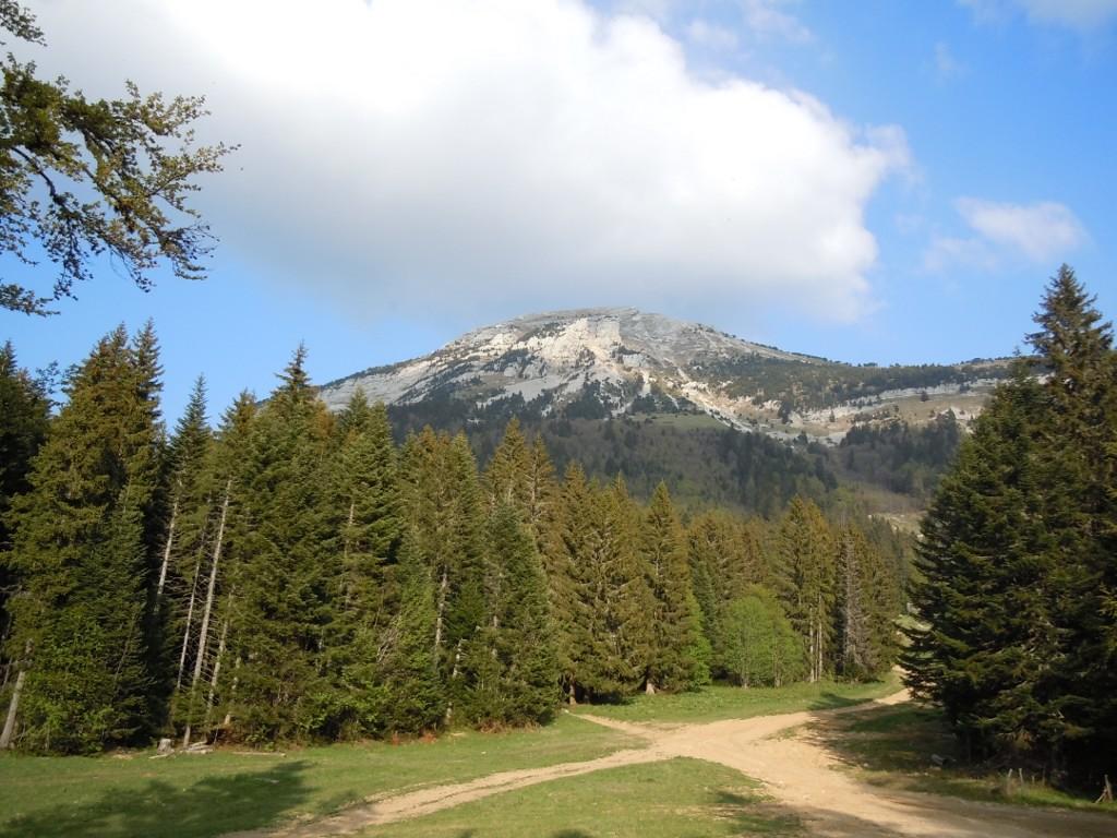
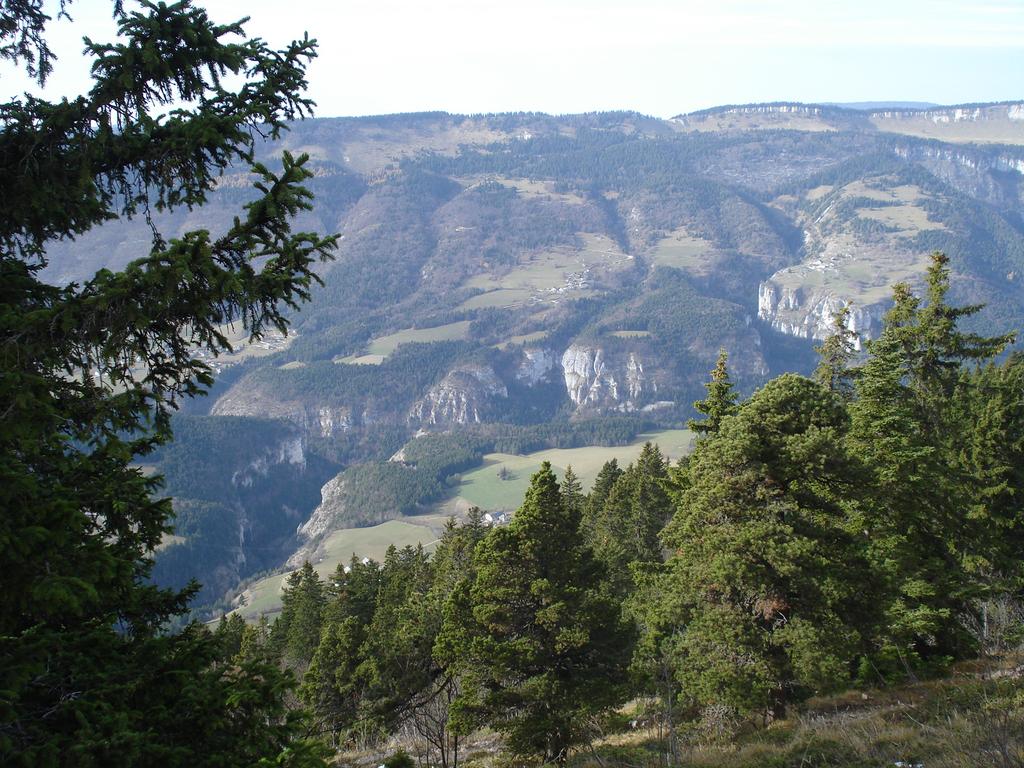
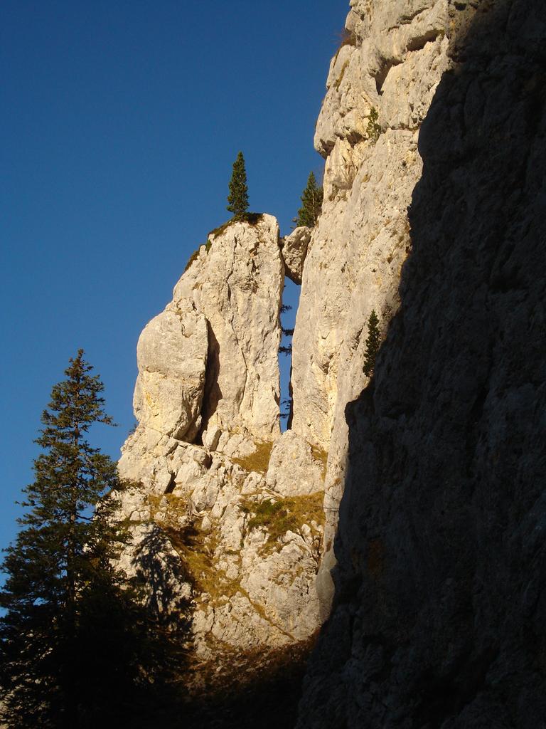
Il Mont Rachais è posto all'estremità meridionale del massiccio della Chartreuse, all'interno dell'omonimo parco regionale. Offre una bella vista sull'agglomerazione cittadina e sulla montagne circostanti. Tuttavia, la maggior parte dell'itinerario (compresa la cima) è ricoperto di vegetazione che limita la vista.
Avvicinamento
.
Descrizione
a Grenoble si raggiunge la Bastiglia tramite uno dei numerosi percorsi possibili o, in alternativa, con l’ovovia. Dalla piazza centrale della Bastiglia si seguono le indicazioni per il Mémorial des Troupes de Montagne; poco prima di giungervi, è possibile seguire un sentiero che si stacca sulla destra per proseguire nel bosco e che porta fino alla cima del Mont Rachais. La deviazione non è segnalata da cartelli, ma vi si trovano ben 3 diverse tracce, che spesso però non fanno altro che confondere l’escursionista (precisiamo che tutte e tre portano sul Mont Rachais seguendo itinerari solo leggermente differenti). Nella discesa occorre non farsi ingannare da una freccia che indica in realtà il percorso per scendere al Col de Porte.
Nelle vicinanze Mappa
Itinerari
05/05/2011 Isère, Sarcenas D+ 756 m EE Ovest
Chamechaude dal Col de Porte
 11.4Km
06/09/2022 Isère, Saint-Nizier-du-Moucherotte D+ 800 m E Ovest
Moucherotte (le) da Saint Nizier du Moucherotte
 11.6Km
01/06/2010 Isère, Saint-Nizier-du-Moucherotte D+ 300 m T Nord
Aigle (Bec de l’) da Saint-Nizier, traversata a Lans-en-Vercors
11.6Km
08/09/2022 Isère, Engins D+ 800 m T Est
Sornin (Plateau de) da Engins
12.9Km
22/04/2010 Isère, Engins D+ 1200 m E Nord
Molière (la) Anello da Engine Les Jaux e per il Plateau de Sornin
12.9Km
01/07/2011 Isère, Saint-Pancrasse D+ 628 m EE Sud-Est
Crolles (Dent de) dal Col du Coq
 16.9Km
30/05/2026 Isère, Lans-en-Vercors D+ 1000 m E Varie
Saint Michel (Pic) da Lans-en-Vercors, traversata a Claix
 17.5Km
25/11/2009 Isère, Saint-Pierre-de-Chartreuse D+ 1176 m E Ovest
Grand Som da la Correrie (Saint Pierre de Chartreuse)
 18.5Km
20/05/2010 Isère, Laffrey D+ 1000 m T Est
Conest (Montagne du): la Peyrouse e Beauregard da Laffrey
19.5Km
23/01/2011 Isère, Château-Bernard D+ 460 m T Est
Prè Achard dal Colle dell’Arzelier
 27.3Km