6.6Km
6.6Km

Note
 900m
900m
2.3Km
2.3Km
2.3Km
2.3Km
2.3Km
2.4Km
900m
900m
2.3Km
2.3Km
2.3Km
2.3Km
2.3Km
2.4Km
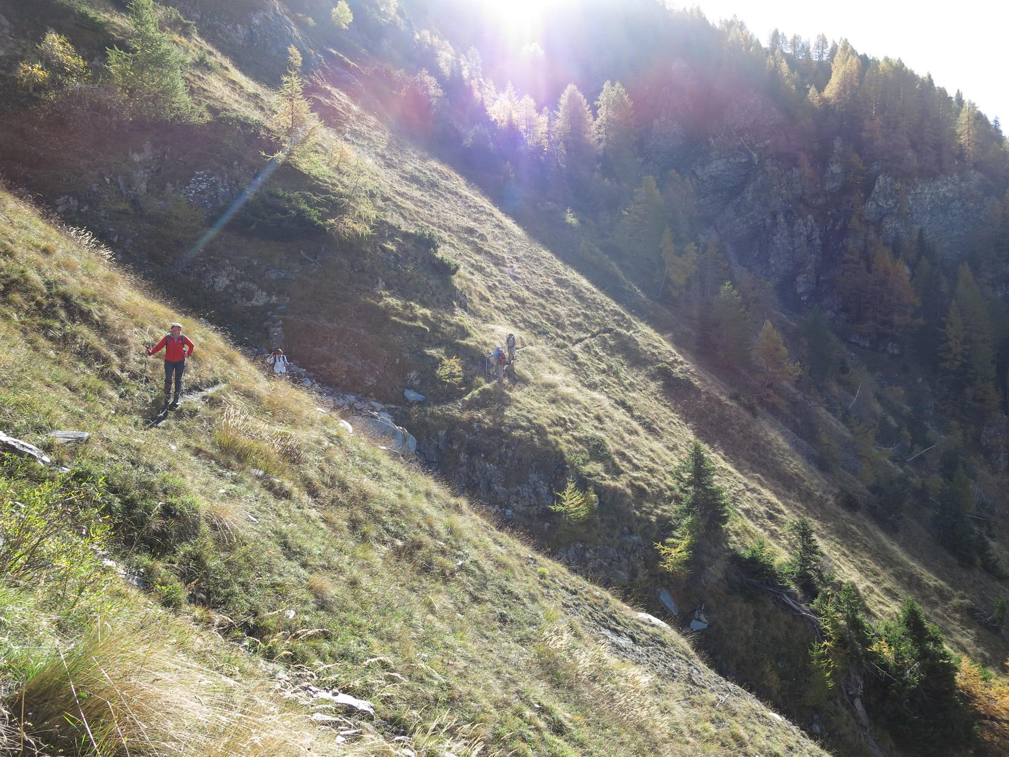
Itinerario che inizia sul sentiero n°5, confluisce su sterrata conservando il n° 5, poi si aggiunge al n°7, per confluire nel n°6 fino alla strada asfaltata. In alternativa, nell'ultimo tratto, poco prima della strada asfaltata, salire sulla dorsale, tacche di vernice rossa al suolo, seguirla nel bosco di abeti, fino ad incontrare una strada sterrata che scende verso il villaggio d'Arpy. Raccomandazione: Il tratto iniziale fino a raggiungere la sterrata non va percorso con terreno gelato, in quanto scivoloso su pendio a pendenza sostenuta.
Avvicinamento
.
Descrizione
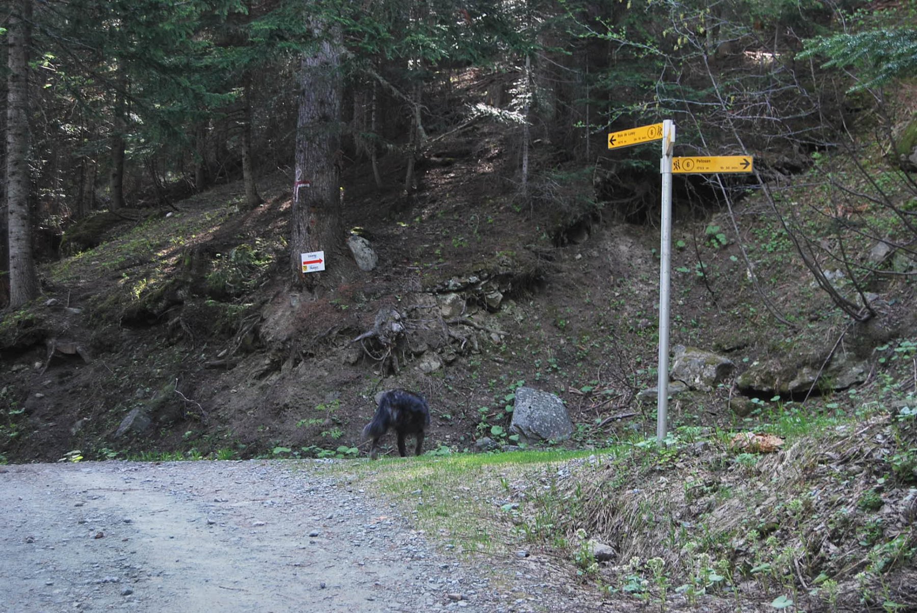
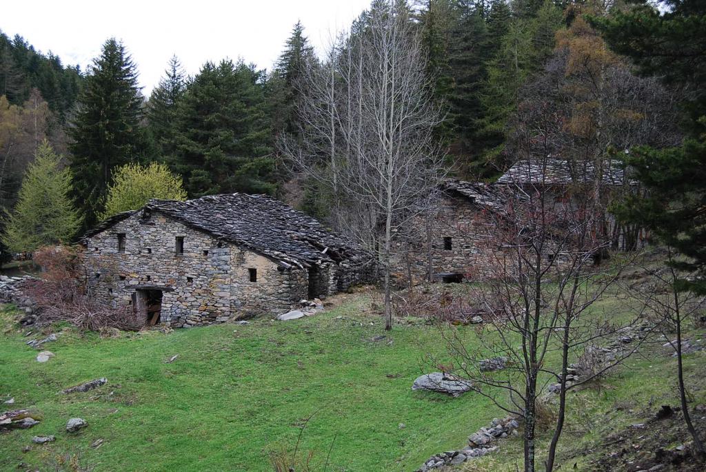
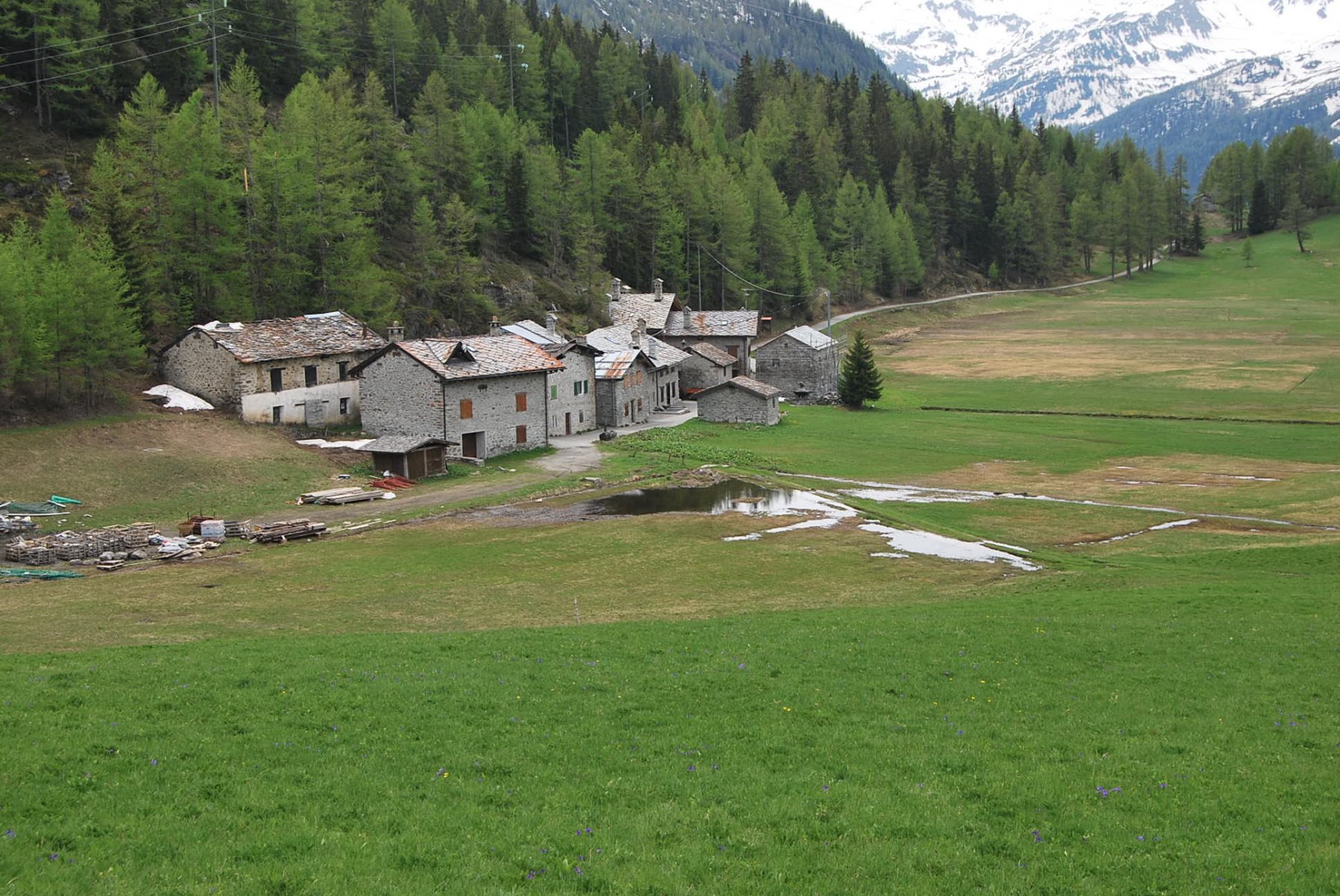
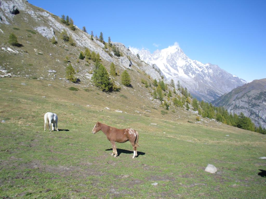
Lasciata l’auto nel parcheggio adiacente la piscina, sul fondo verso il torrente si trova la palina dei sentieri. Attraversare il torrente sul ponte e salire il bel sentiero n°5 che con ampie giravolte e spostamenti laterali, giunge contro la barriera rocciosa dove con un traverso in cengia (un pò esposto), supera la barriera e confluisce sulla sterrata. Seguire la sterrata, a sinistra salendo, al secondo bivio andare a destra salendo, si arriva alle case di Paramont, al terzo bivio andare a sinistra in leggera discesa fino alla strada asfaltata da percorrere per gli ultimi 1200 metri circa per giungera al villaggio Arpy m. 1674. Discesa per l’itinerario di salita percorso al contrario.
- Cartografia:
- L'Escursionista - carta dei sentieri n. 2
Nelle vicinanze Mappa
Itinerari
13/10/2011 AO, Pré-Saint-Didier D+ 1108 m T Sud-Ovest
Arp de Sorè o Arp Damon (Alpeggio) da Champex
 900m
900m
06/07/2025 AO, Pré-Saint-Didier D+ 1109 m E Varie
Brise (Mont) da Champex, anello
 900m
900m
30/07/2025 AO, Morgex D+ 190 m T Nord
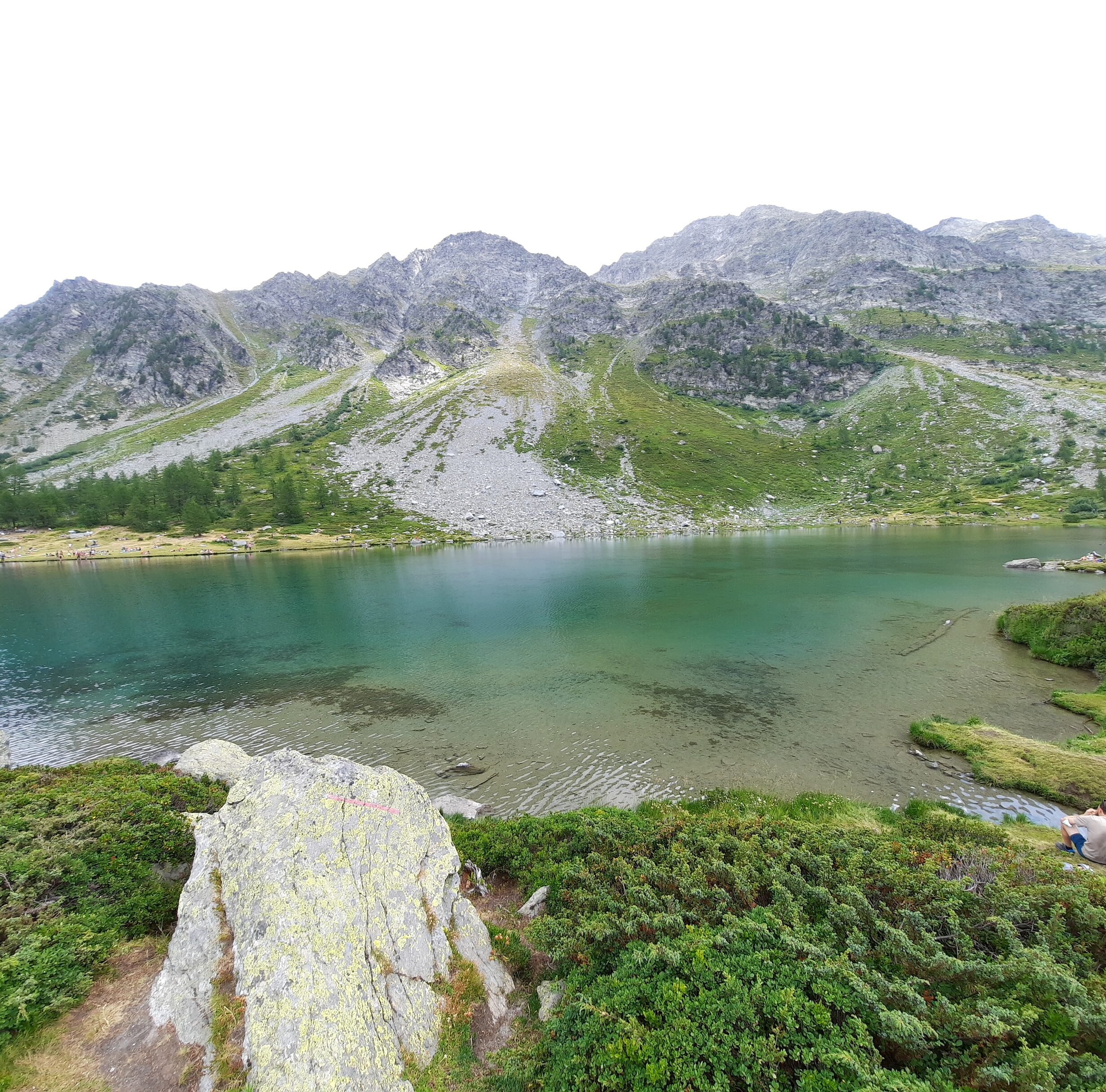
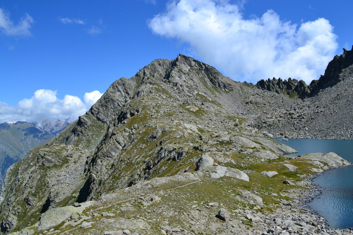
Arpy (Lago d’) dal Colle San Carlo
 2.3Km
2.3Km
06/09/2015 AO, Morgex D+ 900 m EE Nord-Ovest
Colmet (Col) dal Colle San Carlo
2.3Km
17/10/2025 AO, Morgex D+ 410 m E Est
Croce (Punta e Colle della) dal Colle San Carlo per il Lago d’Arpy
 2.3Km
2.3Km
16/08/2021 AO, Morgex D+ 1200 m EE/F Nord
Colmet (Col) dal Colle San Carlo
2.3Km
26/07/2025 AO, Morgex D+ 71 m T Sud-Ovest
Arpy (Tete d’) dal Colle San Carlo
 2.3Km
2.3Km
01/11/2024 AO, Morgex D+ 1100 m EE/F Nord-Est
Colmet (Mont) dal Colle San Carlo
 2.3Km
2.3Km
20/09/2025 AO, Morgex D+ 856 m E Varie
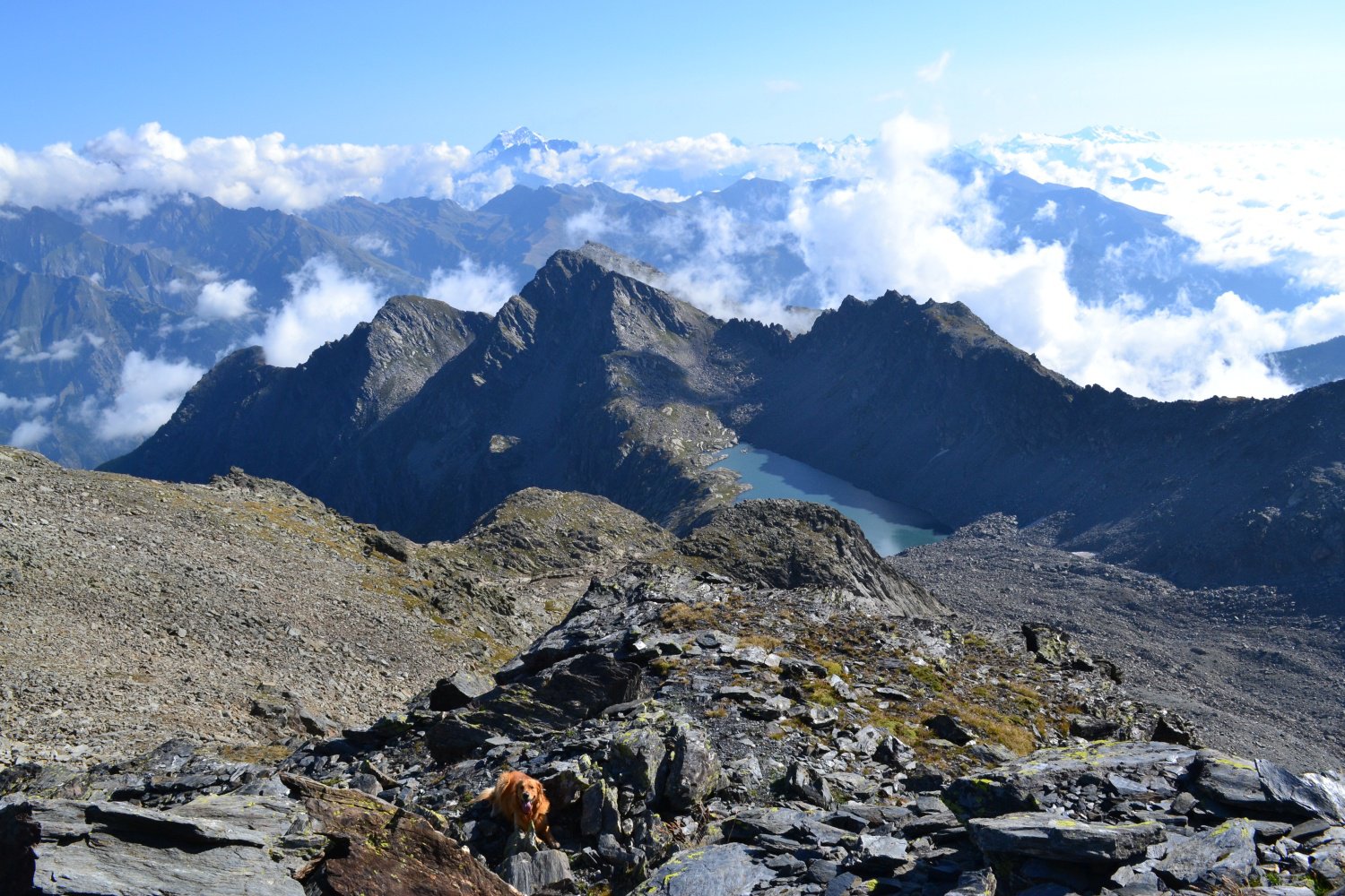
Pouegnenta o Pougnenta (Becca) dal Colle San Carlo per il Lago d’Arpy e Lago di Pietra Rossa
 2.3Km
2.3Km
19/10/2014 AO, Pré-Saint-Didier D+ 800 m EE Ovest
Tirecorne (Alpe) Grand Tour de Tirecorne da Verrand
 2.4Km
2.4Km