 3.7Km
3.7Km
Note
 4.8Km
4.8Km
4.8Km
10Km
10Km
12.9Km
4.8Km
4.8Km
4.8Km
10Km
10Km
12.9Km
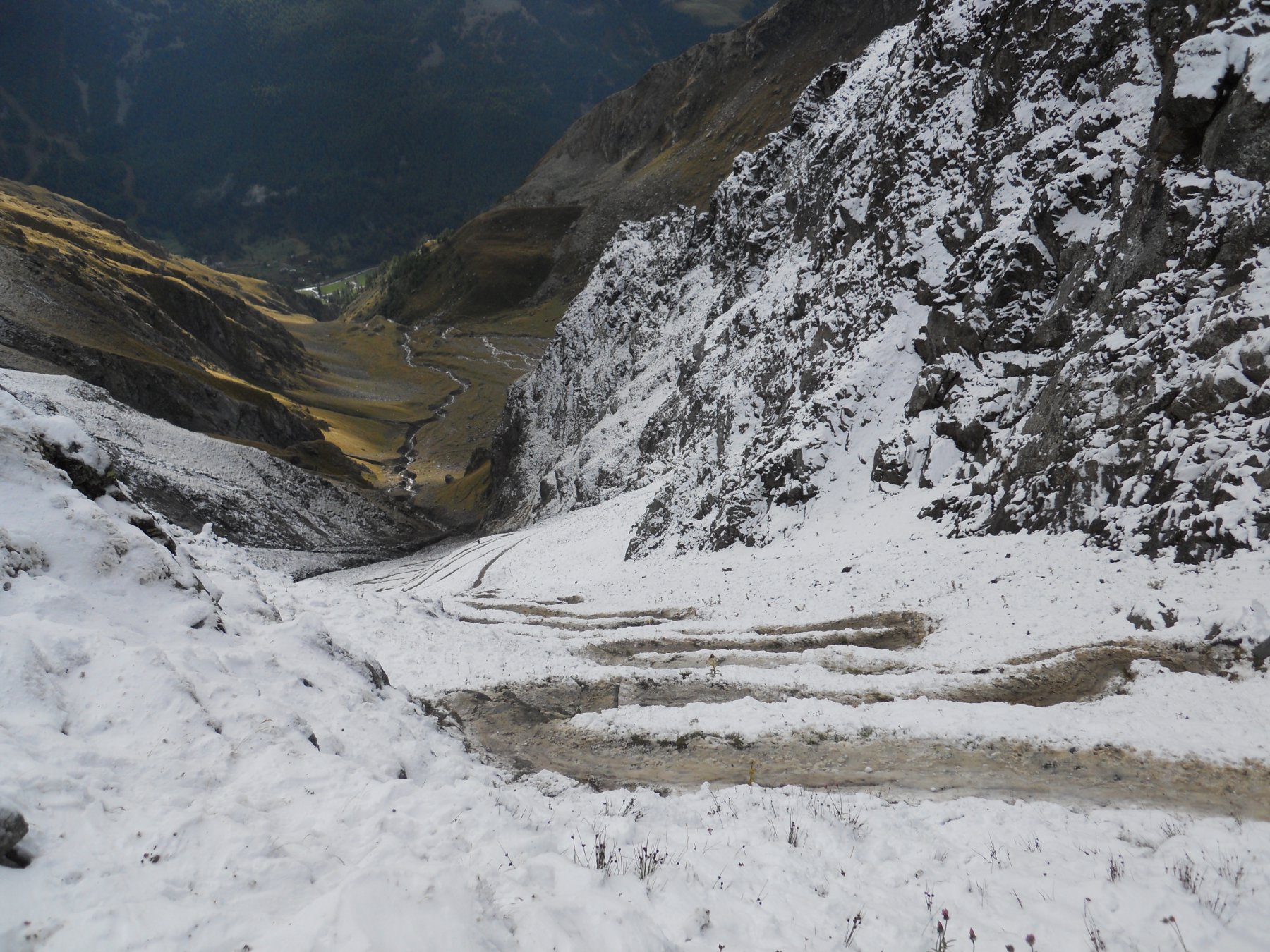
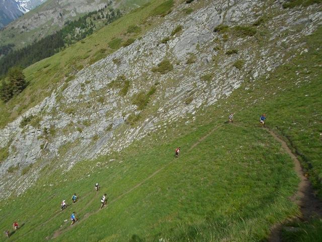
Gara podistica su neve
Avvicinamento
.
Descrizione
La gara si svolge su neve su pista battuta seguendo il tracciato della pista di fondo della Val Ferret.
Partenza in linea dal piazzale di Planpincieux, passaggio in localita’ Lavachey (Km 4,000 mt 1642 slm ) dove ci sara’ un punto di ristoro, si prosegue per la strada della Val Ferret fino all’Arpnouva (Km 7,150 mt 1780 slm) dove sara’ presente un punto di controllo.
Ritorno fino a Lavachey (Km 10,300) al punto di ristoro e passaggio per Freboudze. Si prosegue fino alla cappelletta (Km 13,600) per risalire seguendo il percorso di discesa della pista di fondo fino a raggiungere la pista pedonale per ritornare a Lavachey (Km 15,900) e proseguire via Freboudze fino all’arrivo a Planpincieux (Km 20,000 circa).
Nelle vicinanze Mappa
Itinerari
11/10/2025 AO, Courmayeur D+ 1400 m Nord
Tronche (Testa della) Arrancabirra di Courmayeur
 4.8Km
4.8Km
10/07/2010 AO, Courmayeur D+ 5100 m Tutte
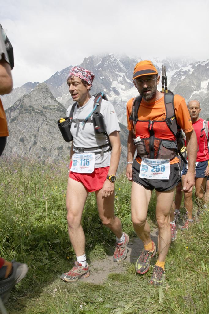
GTV Gran Trail Valdigne
 4.8Km
4.8Km
12/09/2025 AO, Courmayeur D+ 10000 m Tutte
Tor Des Glaciers
4.8Km
01/09/2020 AO, Courmayeur D+ 10000 m Tutte
Tor des Geants
 4.8Km
4.8Km
28/06/2020 AO, Courmayeur D+ 2350 m Varie
Crammont (Mont) da Dolonne, giro
5.3Km
29/08/2013 AO, Courmayeur D+ 2000 m Varie
Fortin (Mont) giro della Val Veny per i colli Checrouit, Pyramides Calcaires, Seigne, Chavannes, Youla
7.8Km
15/07/2012 AO, Morgex D+ 5600 m Varie
Gran Trail Valdigne 20 – 50 – 100 Km
 10Km
10Km
07/06/2025 AO, Morgex D+ 3200 m Tutte
Licony trail
 10Km
10Km
21/08/2022 AO, La Salle D+ 3000 m Nord-Est
Passo Alto, Planaval, Crosatie, (Colli) da Chabodey, anello
 12.9Km
20/08/2014 AO, La Thuile D+ 1200 m Nord
Deffeyes Albert (Rifugio) da la Thuile
14.2Km