150m
150m

Descrizione
 150m
150m
2.4Km
3.1Km
3.2Km
5.4Km
5.4Km
6Km
6Km
150m
150m
2.4Km
3.1Km
3.2Km
5.4Km
5.4Km
6Km
6Km
150m
4.3Km
5.2Km
5.6Km
6.1Km
6.4Km
6.9Km
7.1Km
7.6Km
8.5Km
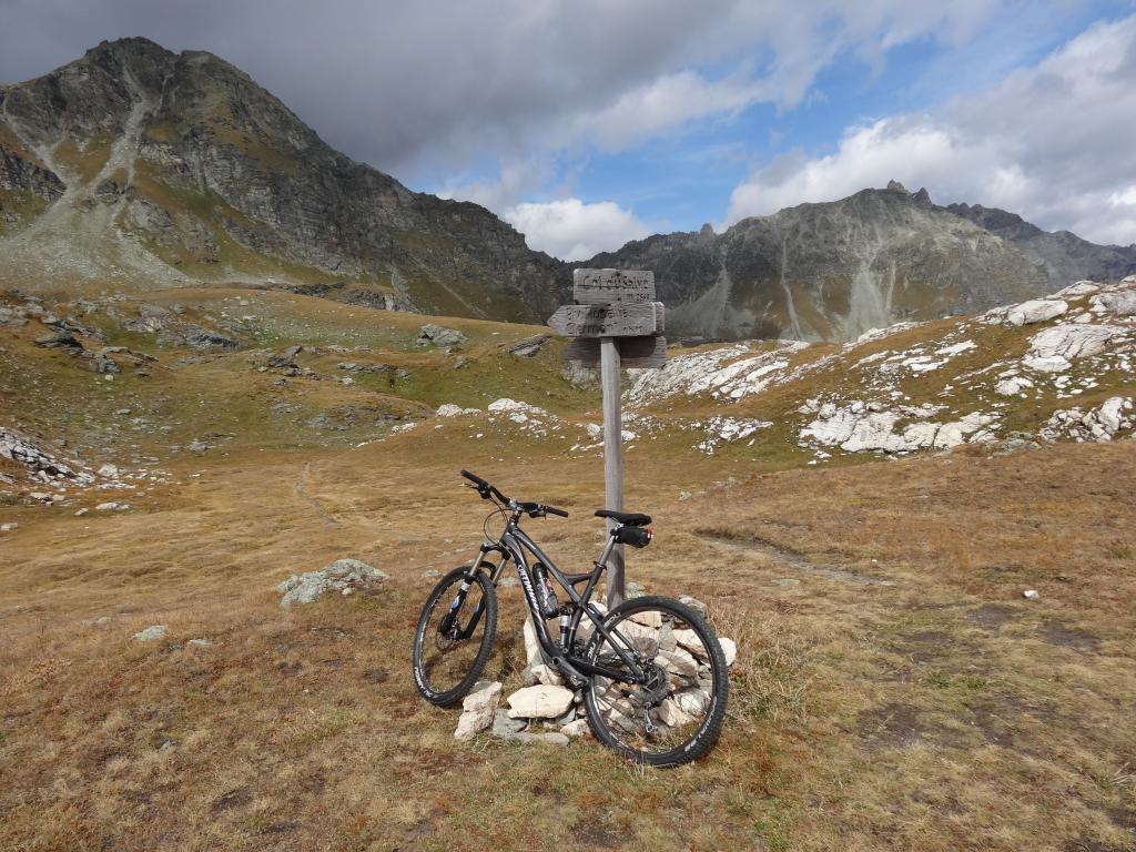
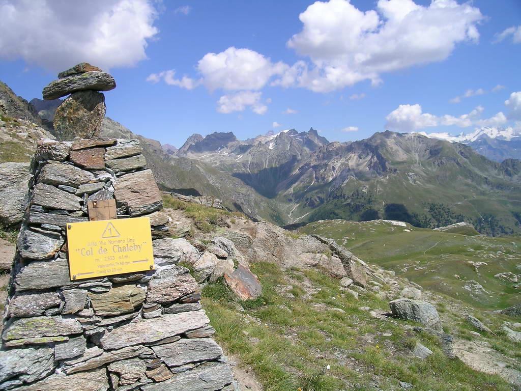
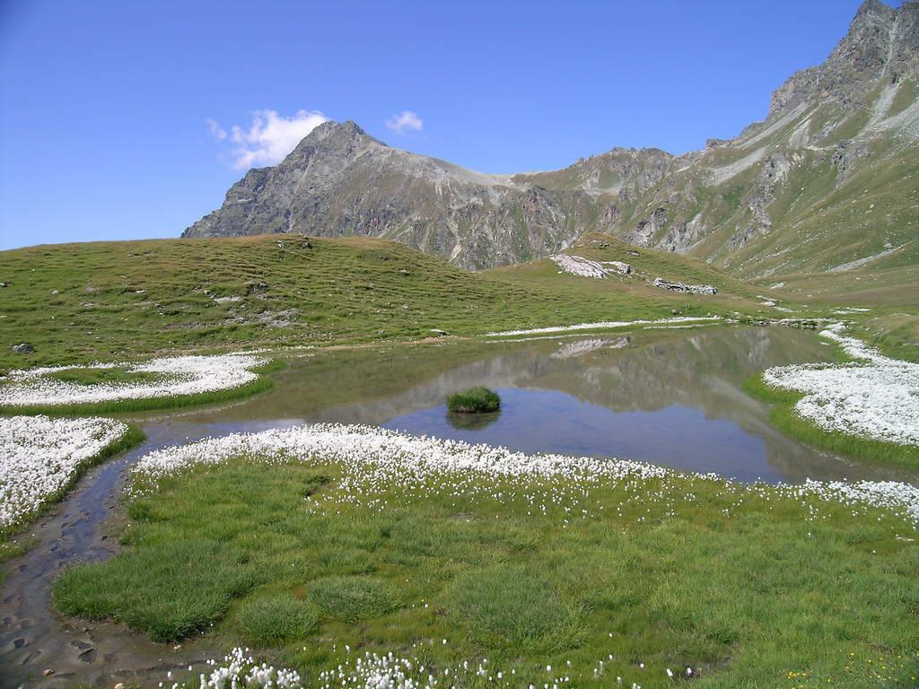
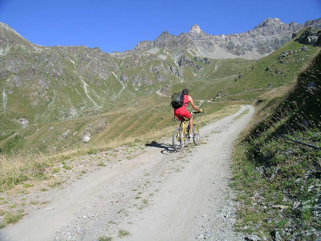
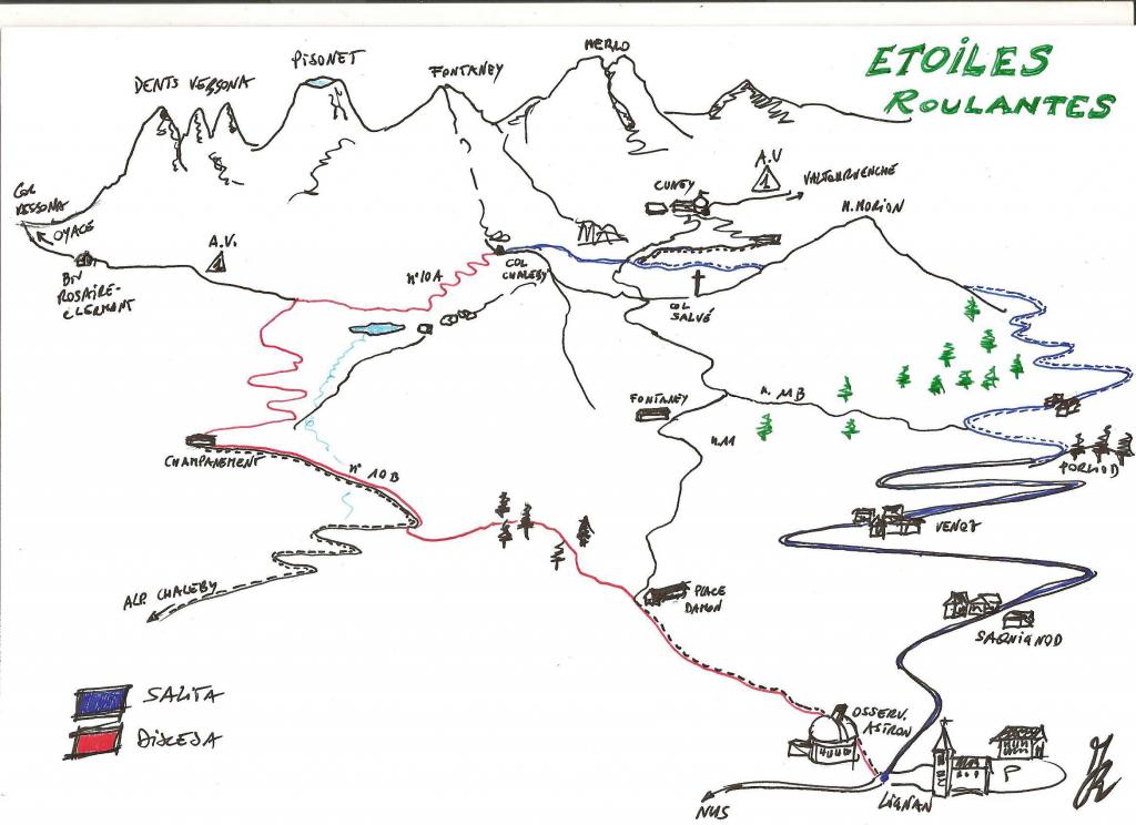
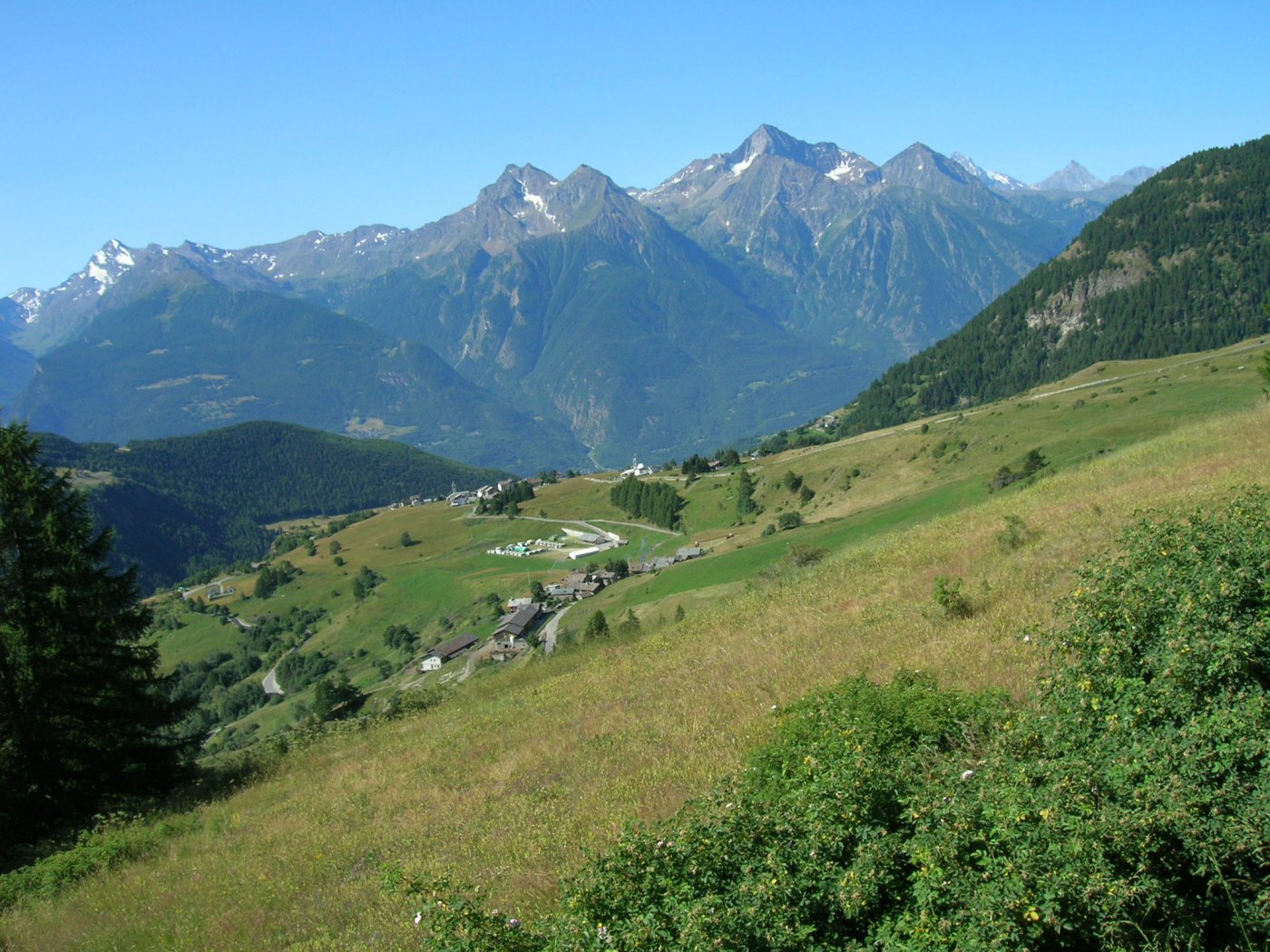
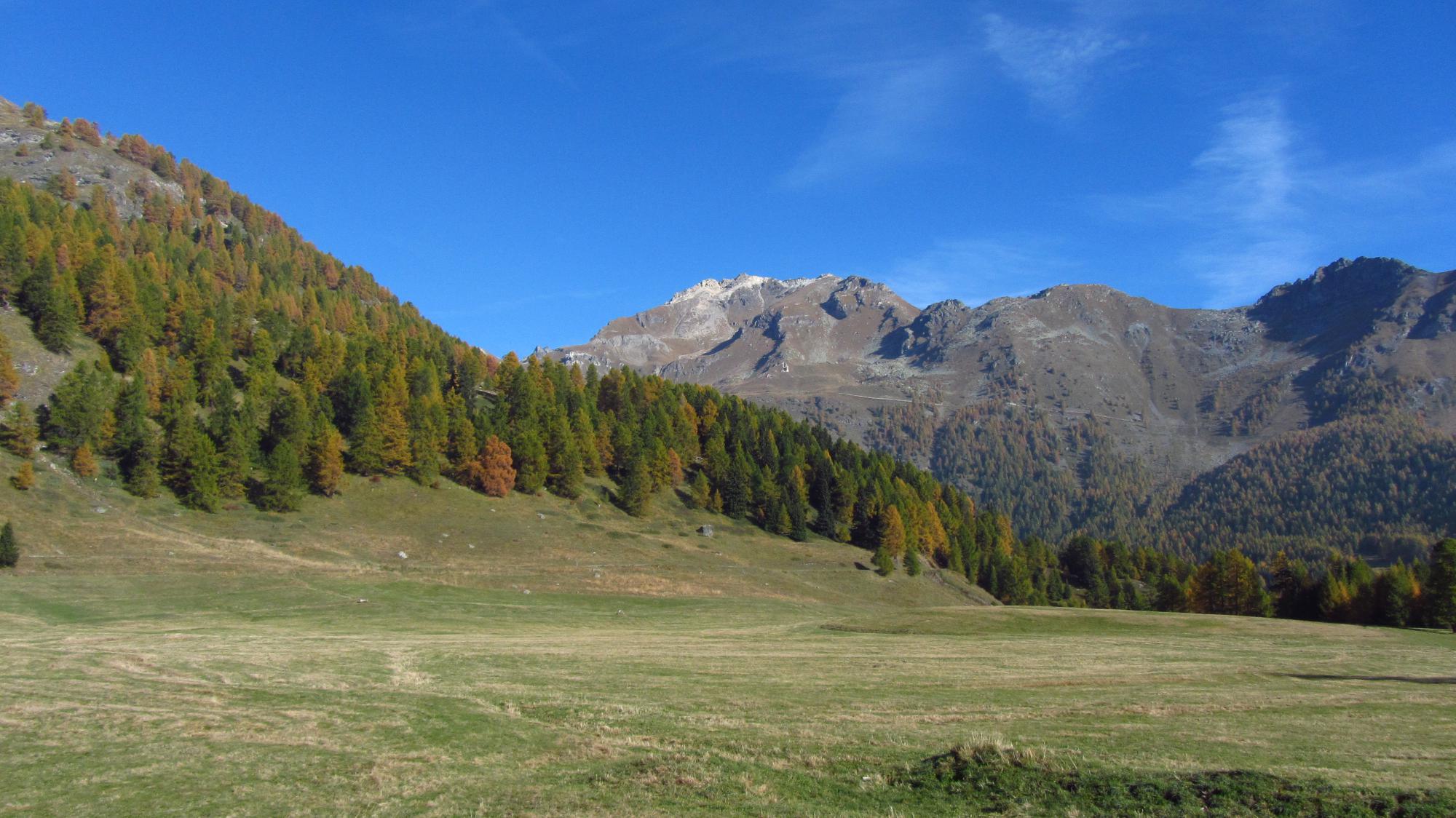
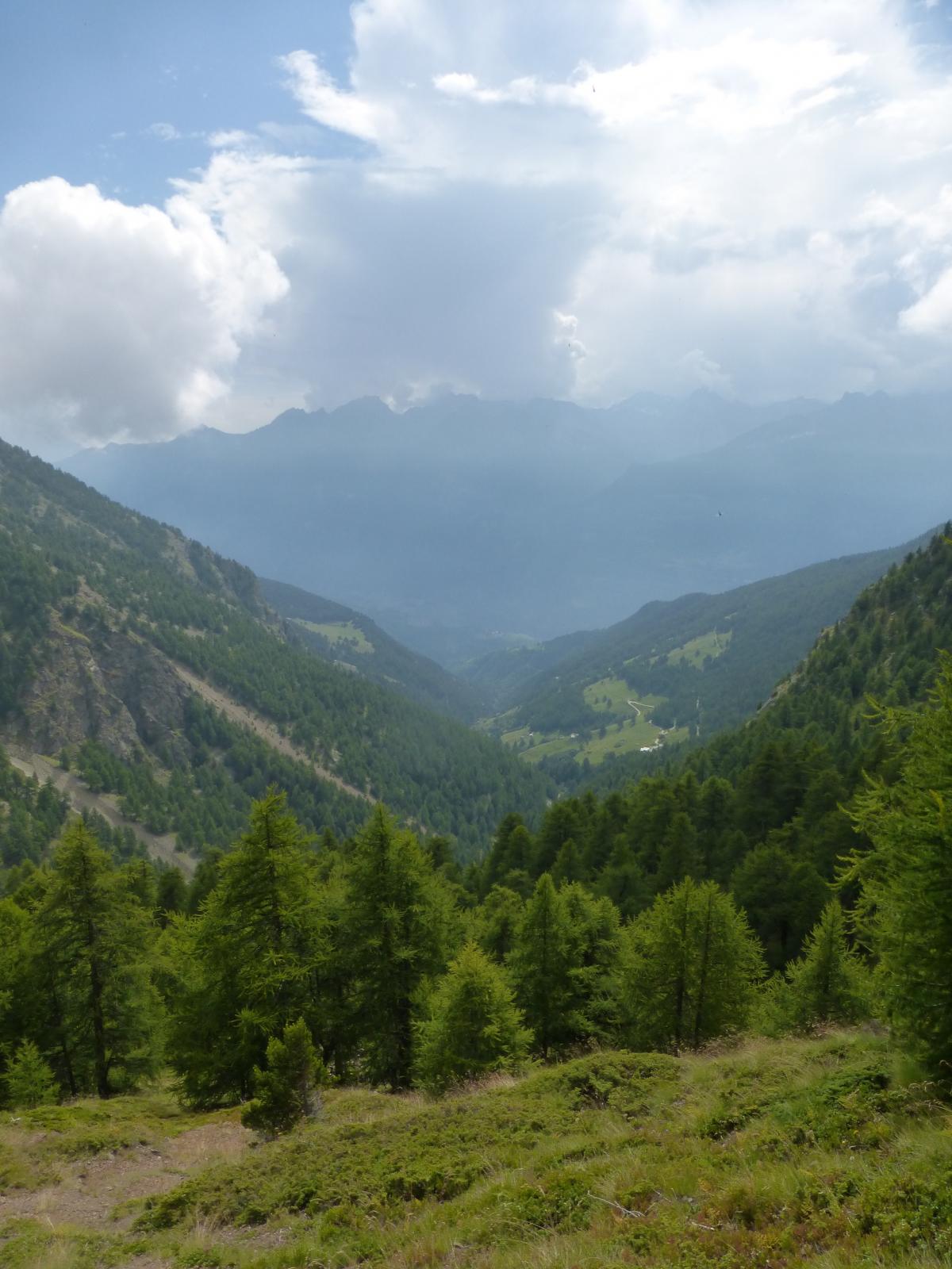
dalle chiesa di Lignan su asfalto fino a Venoz e poi Crèt, al piazzale prendere sterrata a sx e salire fino alpeggio Fontaney poi continuando su strada si arriva ad un pianoro erboso ed ad un altro alpeggio dove la strada peggiora e diventa ripida, si sale/spinge al col du Salvè e poi traversando a sx ed infine spingendo la mtb si carriva al col Chaleby.
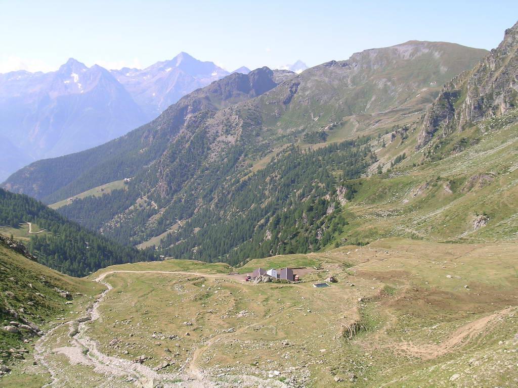
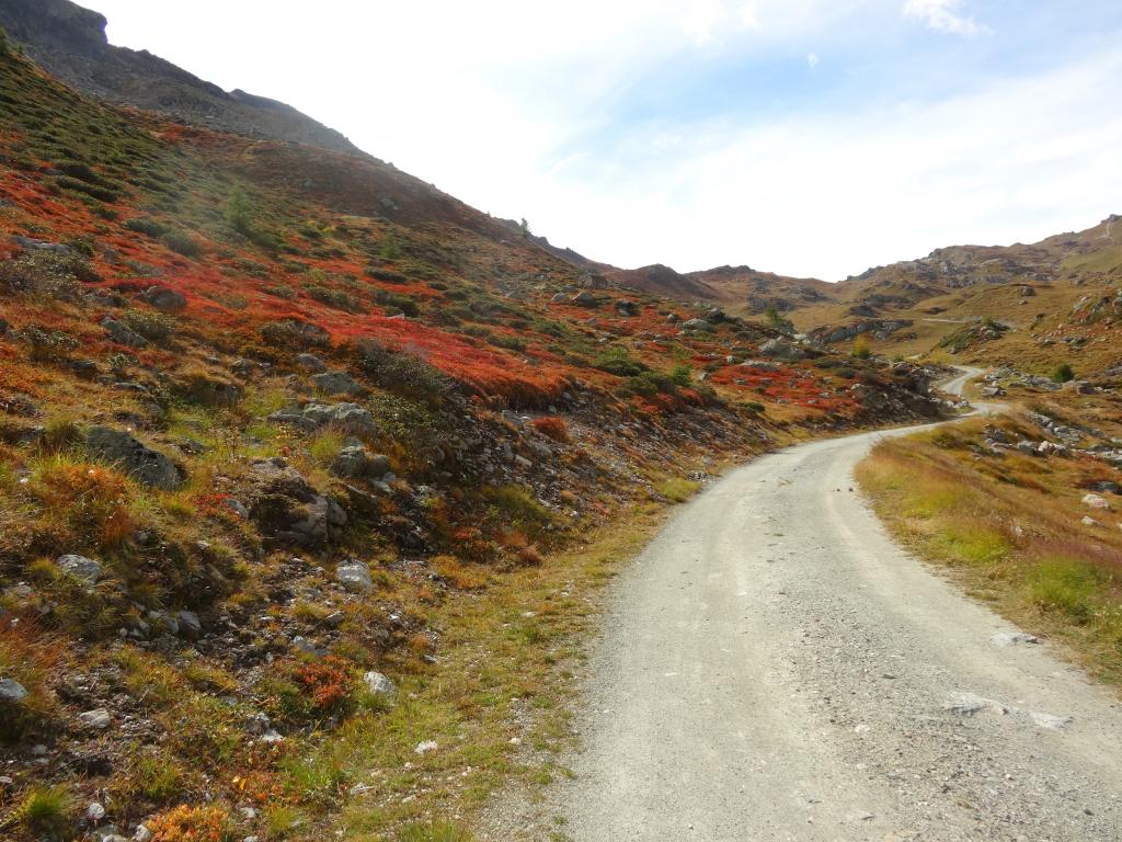
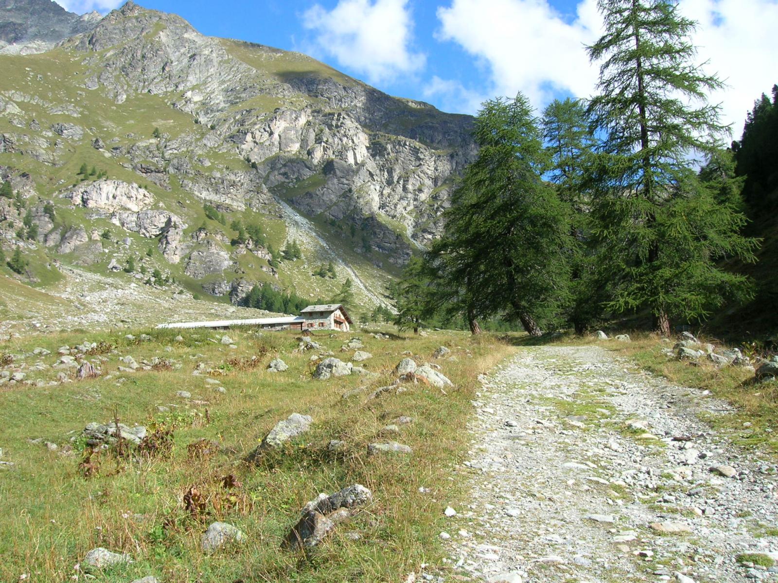
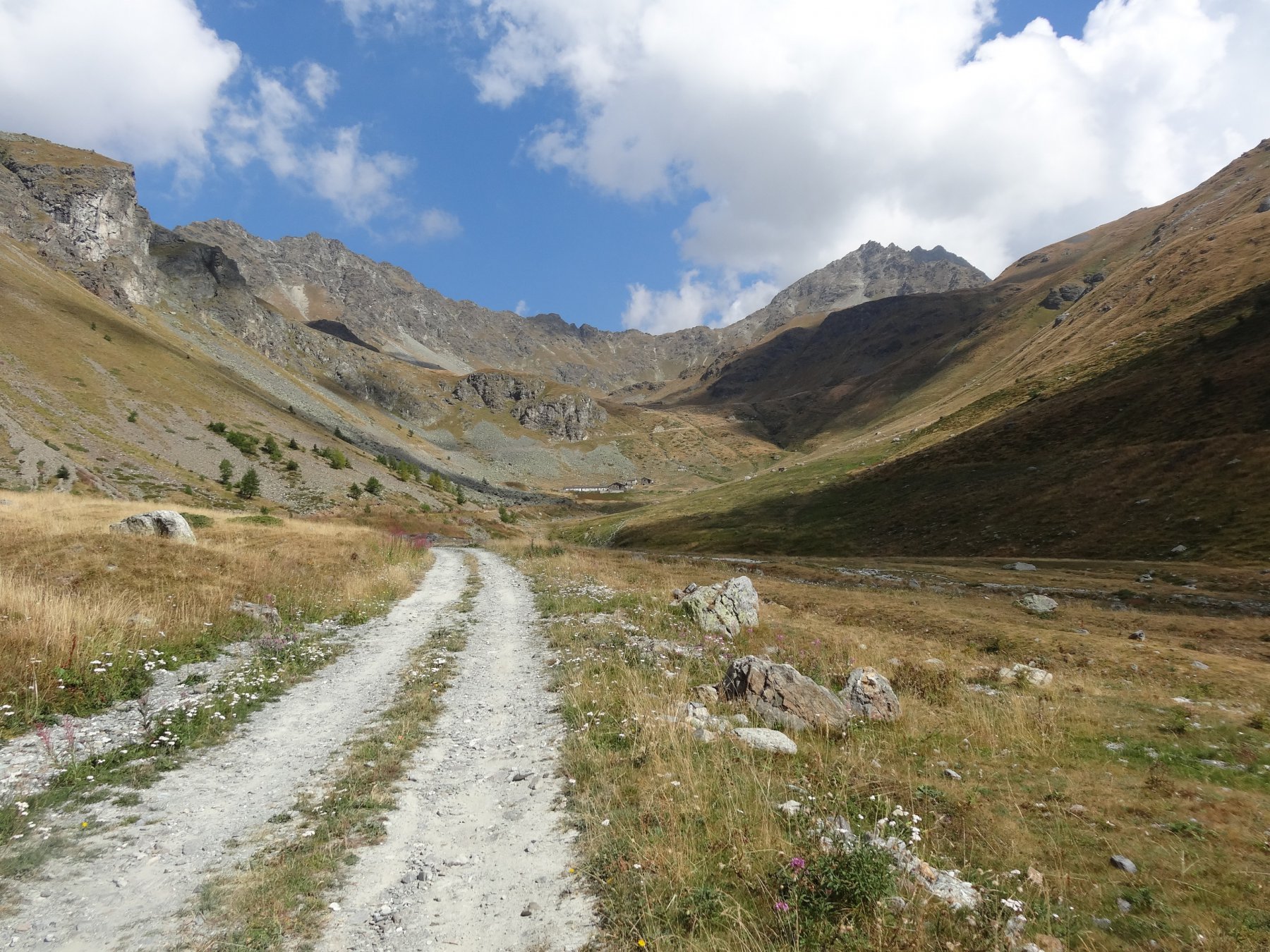
Primi metri di discesa non pedalabili poi in sella si arriva ad un laghetto dove si devia a sx, lasciando tracciato alta via,il sentiero si perde, ma si ritrova immediatamente sotto il lago,si arriva ad un alpeggio, si continua su sterrata verso sud, fare attenzione in prossimità di una baita isolata nel bosco dove bisogna invertire la direzione e prendere una sterrata che poi conduce ad una traccia inerbita (sentiero 105 segnalato) si arriva così al ponte 1800 mt. lo si supera e su poderale si torna all’osservatorio.
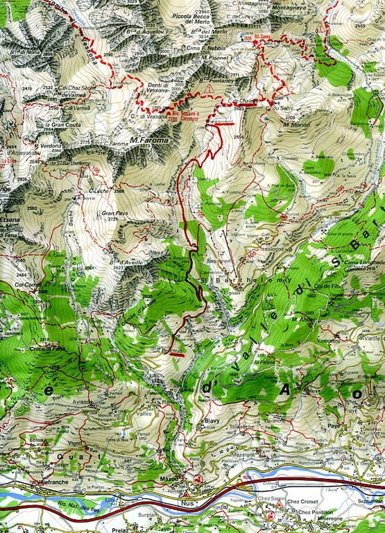
- Cartografia:
- igc valpelline 30.000
Nelle vicinanze Mappa
Itinerari
18/10/2025 AO, Nus D+ 1342 m BC+, OC+, S4 Varie
Cuney (Rifugio e Oratorio di) e Col Chaleby da Lignan, giro
 150m
150m
02/10/2019 AO, Nus D+ 2270 m BC+, OC+, S3 Varie
Vessona, Vaemà, Saint Barthelémy, Léché (Colli) da Lignan, giro del Mont Faroma
150m
29/09/2021 AO, Nus D+ 1150 m BC+, BC+, S1 Varie
Morion (Mont) da Lignan, giro per Col du Salvè
 150m
150m
06/09/2014 AO, Nus D+ 791 m OC, OC+, S4 Sud
Reboulaz Luca (Bivacco) da Porliod
 2.4Km
2.4Km
10/09/2016 AO, Quart D+ 1445 m BC+, OC+ Varie
Grand Pays da Avion, anello
 3.1Km
3.1Km
19/10/2014 AO, Nus D+ 35 m TC, TC Nord
Praterier (Alpe) da Porliod
 3.2Km
3.2Km
18/07/2025 AO, Nus D+ 1800 m MC, BC, S1 Sud
Magià (Rifugio) da Nus per la Valle di Saint Barthelemy
 5.4Km
5.4Km
03/11/2013 AO, Nus D+ 1280 m MC, BC, S1 Sud
Bornes (Col de) da Nus
 5.4Km
5.4Km
29/07/2020 AO, Quart D+ 1219 m BC+, OC+, S1 Sud
Saint Barthelemy (Colle di) da Fonteil, giro per il Col de l’Arpeyssaou
 6Km
6Km
28/10/2017 AO, Quart D+ 950 m OC, BC+, S3 Sud
Cornet (Col) da Avisod, giro della Croce di Fana
 6Km
6Km
Servizi
150m
4.3Km
Favre Ristorante
Nus
5.2Km
Maison Rosset Rifugio
Nus
5.6Km
Maison Tersiva B&B
Nus
6.1Km
Chez Gaillard B&B
Fenis
6.4Km
Tse fine e Marcel B&B
Verrayes
6.9Km
Lou Tourbiillet B&B
Saint-Marcel
7.1Km
Blanche Neige Bar
Verrayes
7.6Km
Mathamel Giorgio B&B
Verrayes
8.5Km