1.9Km
1.9Km
Note
 50m
50m
50m
50m
50m
50m
50m
50m
50m
50m
50m
50m
50m
50m
50m
50m
50m
50m
1.9Km
2.8Km
2.8Km
3Km
3Km
6.8Km
7.2Km
8.6Km
8.8Km
8.9Km
Classico itinerario per la strada del colle basset da Sauze d'Oulx. Discesa su piste, fino a Malafosse Alta, poi sentiero del Rio Nero per collegarsi con Malafosse Bassa. Da qui veloce sterrato a San Marco.
Descrizione
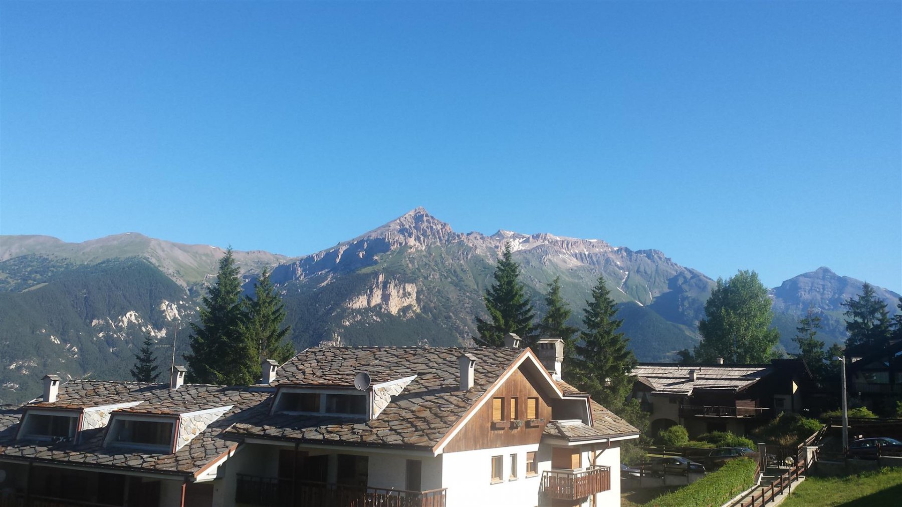
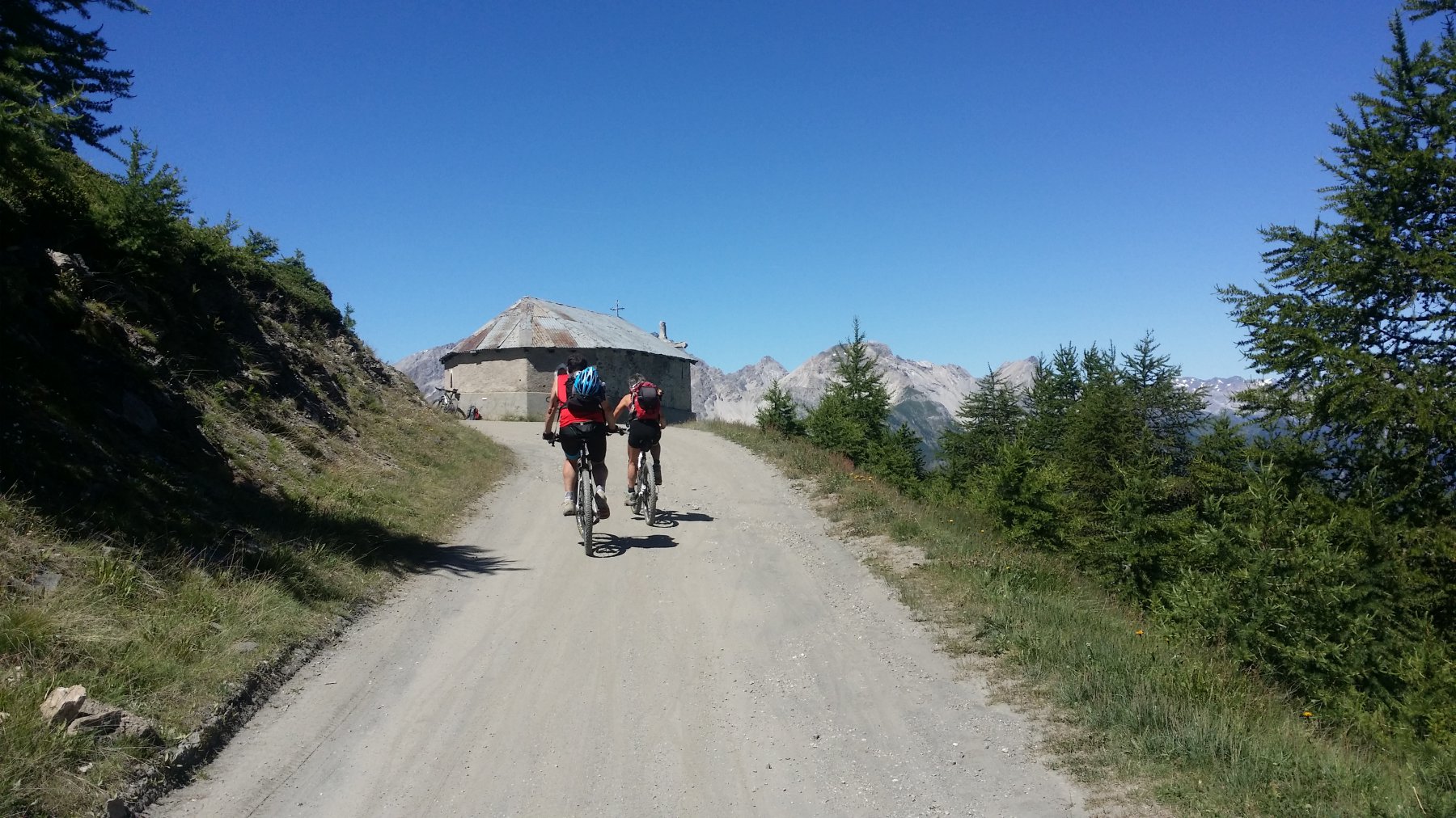
Da San Marco seguire la strada asfaltata fino a Sauxe d’Oulx. Dal piazzale Miramonti (impianti Sportinia), proseguire in salita, attraversando la pista Clotes tramite una galleria. Si arriva ad un bivio con una fontana. Si prende la sterrata che porta al rifugio Ciao Pais (indicazioni per Broussailles “ore 4″… un’ esagerazione!!). Dal Cio Pais salire fino ad incontrare la sterrata che sale a Sportinia nei pressi di un alpeggio (q.2090). Si sale e si supera Pian della Rocca e Sportinia. Si continua si costeggia il lago nero e dopo un tratto in mezzacosta si arriva alla chiesetta di ND di Broussailes 2337 m.
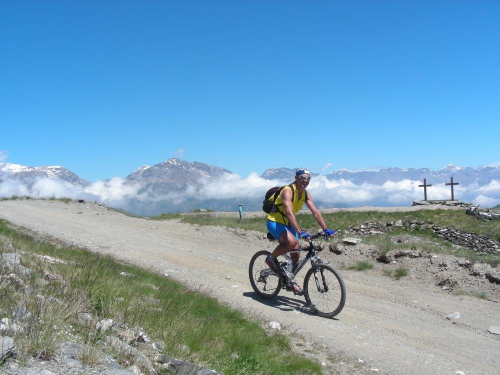
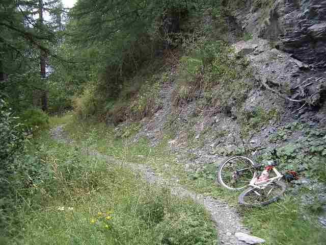
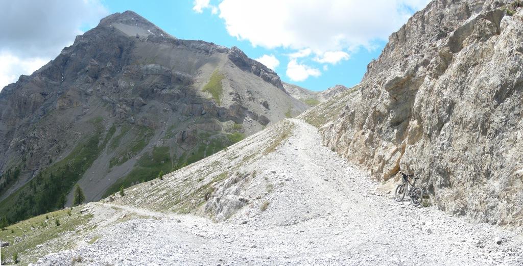
DISCESA :Si prosegue in direzione del colle Basset, poi ad un certo punto si scende su una stradina di servizio degli impianti. si arriva all’ultimo impianto e si svolta a sinistra per il vallone del rio nero, e si giunge a Malafosse Alta 1815. Da qui prendendo come riferimento un grosso larice fulminato, si scende e nei pressi del larice si trova il sentiero che porta a Malafosse Bassa 1460 m. Da qui la sterrata a destra porta direttamente a SanMarco.
Alternativa: Per il sentiero n.17.
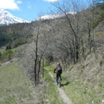
Da Malafosse Alta si prosegue lungo la sterrata verso Tachier. In corrispondenza della cresta dorsale (circa 500 600 m.) si imbocca il sentiero n.17 che segue integralmente la crestina (tratti ripidi e sconnessi). Si ricollega alla strada che porta a San Marco a circa 1350 m., altrimenti si raggiunge Jovenceaux per il single track n. 14 e da qui a san Marco utilizzando il sentiero n. 13 (si trova l’ingresso sulla statale dopo le ultime case in corrispondenza del tornante e di una grossa casa abbandonata).
- Bibliografia:
- mountain bike in valle susa rey - smith
Nelle vicinanze Mappa
Itinerari
27/08/2014 TO, Oulx D+ 1550 m MC+, BC+, S2 Nord
Genevris (Monte) da Oulx, discesa dal Col Bourget per il bike park
 50m
50m
20/06/2026 TO, Oulx D+ 1055 m MC, BC, S1 Sud-Est
Madonna del Cotolivier (Cappella) da Oulx
 50m
50m
24/10/2020 TO, Oulx D+ 770 m BC, TC, S0 Sud-Ovest
Desertes, Vazon, Lozet (Borgate) da Oulx, giro
 50m
50m
23/05/2026 TO, Oulx D+ 1400 m BC, BC, S1 Varie
San Giuseppe (Croce) da Oulx per Madonna del Cotolivier, discesa su Desertes
 50m
50m
09/05/2026 TO, Oulx D+ 989 m BC Ovest
Autagne (Alpeggio) da Oulx
 50m
50m
21/10/2007 TO, Oulx D+ 750 m MC, MC Varie
Vazon, Chateau Beaulard, Beaulard da Oulx, giro
 50m
50m
17/08/2011 TO, Oulx D+ 2100 m OC, OC+, S3 Tutte
Etiache (Col d’) da Oulx, giro per Rifugio Scarfiotti, decauville e Forte Foens
50m
16/08/2015 TO, Oulx D+ 2400 m OC, OC+, S3 Varie
Chaberton (Monte) da Oulx a Claviere per Madonna del Cotolivier e il Lago Desertes ITINERARIO NON PERCORRIBILE
 50m
50m
19/05/2021 TO, Oulx D+ 1142 m MC+, BC, S1 Varie
Vazon, Soubras, Amazas, Solomiac, Malafosse da Oulx, giro delle borgate
 50m
50m
30/06/2018 TO, Oulx D+ 2100 m OC, BC+, S2 Varie
Desertes (Passo) da Oulx, giro per il Cotolivier e Passo della Grand’Hoche
 50m
50m
Servizi
1.9Km
2.8Km
La Chardouse Rifugio
Oulx
2.8Km
L’Cantun B&B
Sauze D'oulx
3Km
orto del frate Ristorante
Sauze d'Oulx
3Km
paddy mc ginty Ristorante
Sauze d'Oulx
6.8Km
L’Eitabl Ristorante
Oulx
7.2Km
Il Covo di nord ovest Ristorante
Salbertrand
8.6Km
Dell’Orsa Bar
Oulx
8.8Km
Arlaud Rifugio
Salbertrand
8.9Km