200m
200m
Avvicinamento
 0m
50m
50m
50m
2.9Km
2.9Km
2.9Km
2.9Km
2.9Km
0m
50m
50m
50m
2.9Km
2.9Km
2.9Km
2.9Km
2.9Km
200m
200m
200m
3.3Km
5Km
6Km
6.6Km
7.8Km
7.8Km
9.4Km
.
Descrizione
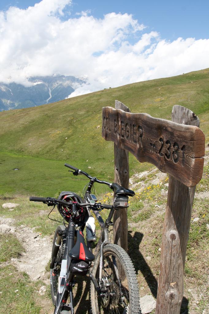
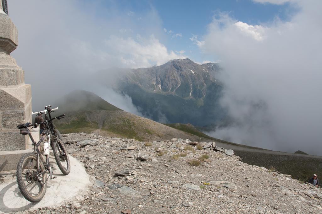
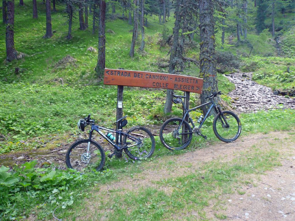
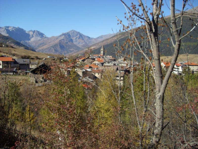
Salita parcheggio a Sauze D’Oulx: si può accorciare l’itinerario partendo direttamente dal parcheggio di inzio del Parco a Enfers dopo Monfol; Biv. x Montagne Seu e rif. Arlaud a Sx e C.le Blegier a dx; Biv sentiero; Biv a sx per la strada dei cannoni; Biv a dx Gr. Selle; Incr. strada dell’assieta a sx ; Testa dell’Assietta: ritorno; C.le Lauson; C.le Blegier: a dx; Torbiera del Blegier; Biv. x Rif Arlaud a dx; Rif. Arlaud:ritorno; Biv. x Rif Arlaud; Sauze.
Proposta di variante agli itinerari descritti nella bibliografia citata.
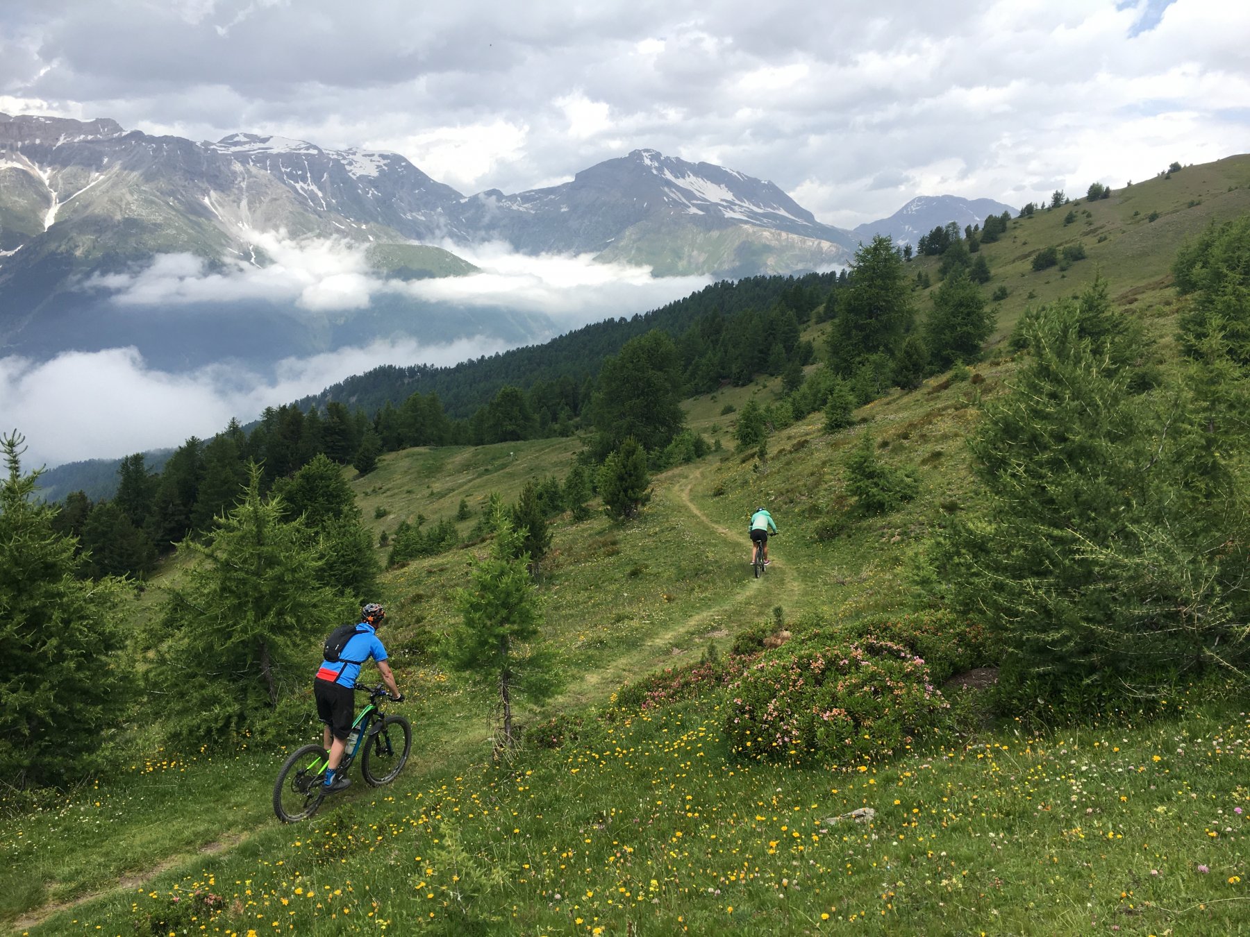
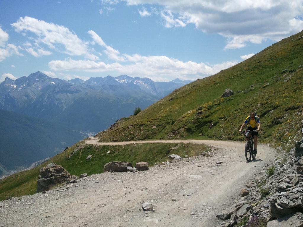
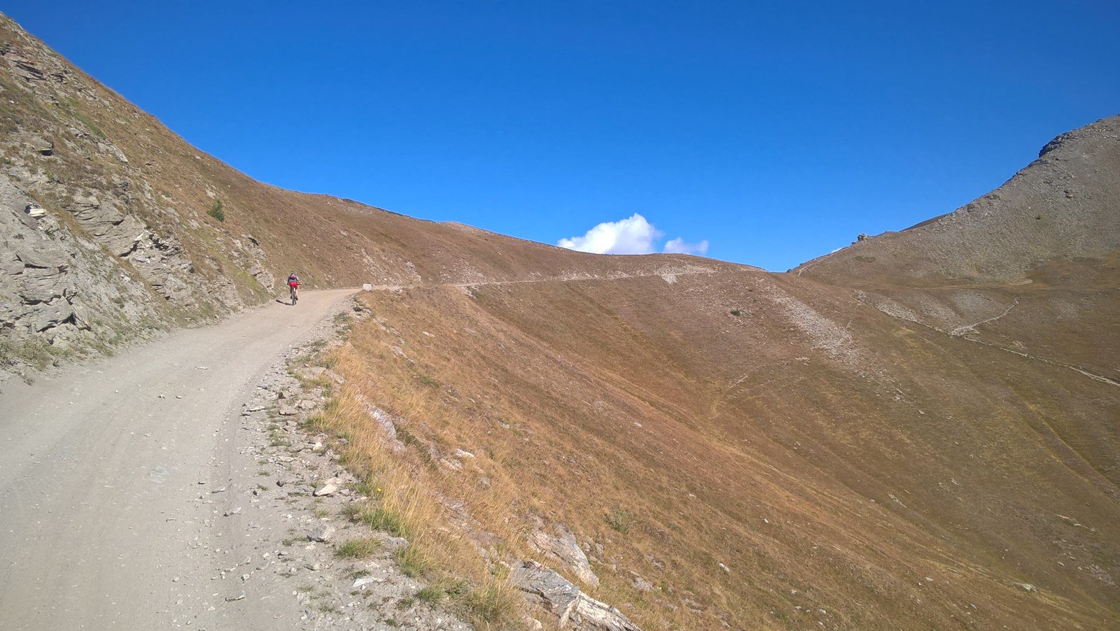
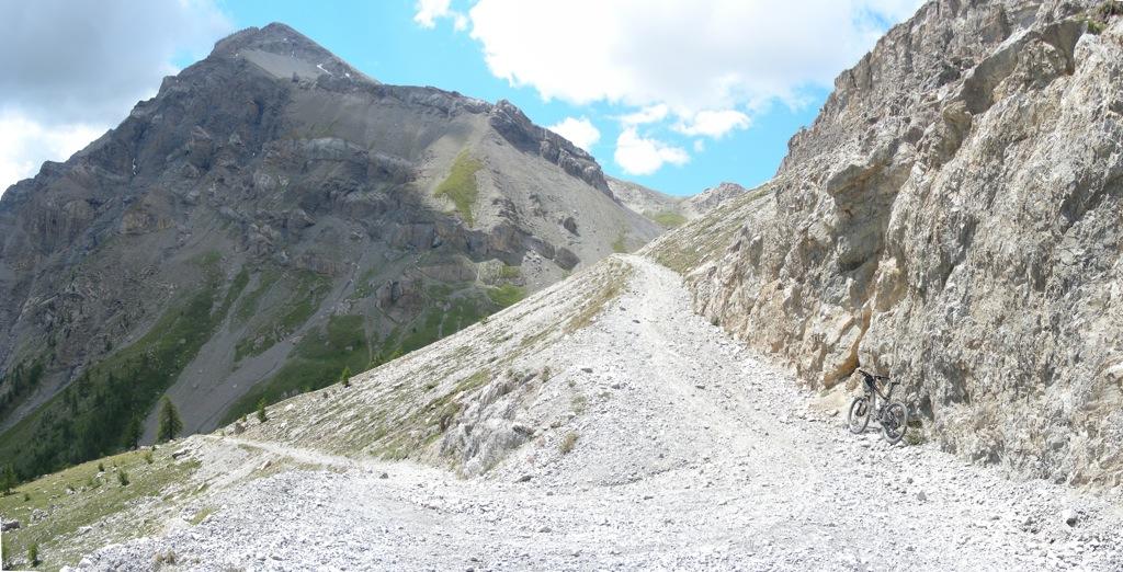
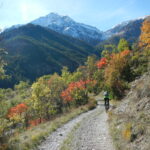
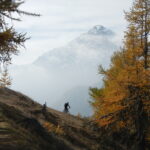
Salita alla strada dell’Assietta lungo il bellissimo percorso autorizzato (strada dei Cannoni) nel folto Bosco del parco naturale del Gran Bosco di Salbertrand (www.parks.it/parco.gran.bosco.salbertrand).
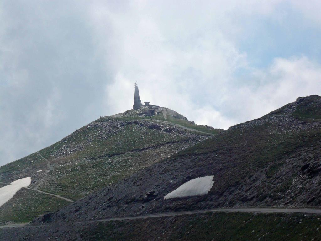
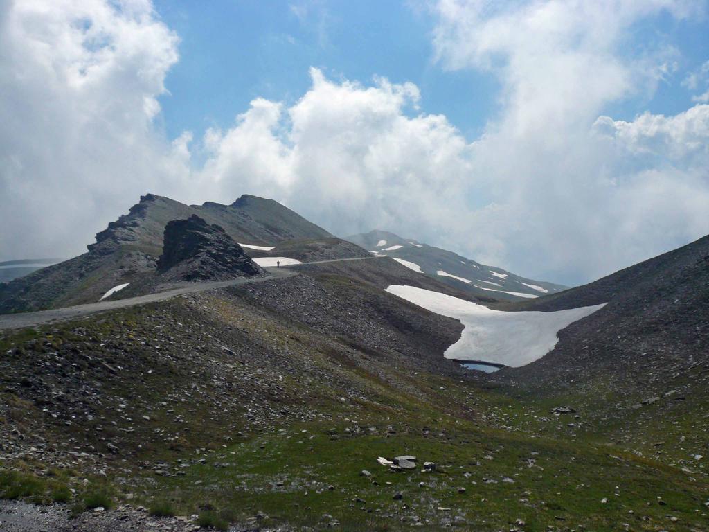
Alla Testa dell’Assietta merita raccogliere lo spunto offerto dalle citazioni delle lapidi e della stele che raccontano l’importanza di quel luogo: caposaldo della resistenza dei Piemontesi nel lontano 19 Luglio del 1747 (www.piemondo.it/cultura/assietta.htm).
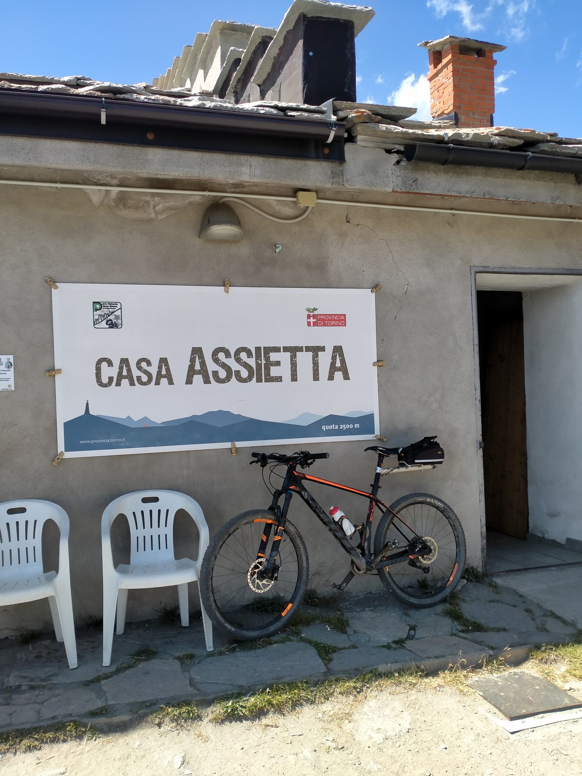
Il percorso di discesa suggerito dal C.le Blegier permette di approfittare della visita dell’omonima torbiera ben descritta nelle sue particolarità dalle bacheche poste sul luogo. Ed ancora, sul percorso di discesa per chi vuole, una veloce variante andata e ritorno per una visita al particolare rifugio Daniele Arlaud a Montagne Seu: il 1°rifugio alpino Italiano ad aver ricevuto il marchio Europeo di qualità ecologica Ecolabel. Un marchio di riconoscimento alle strutture ricettive che hanno deciso di rispettare un preciso controllo per ridurre l’impatto ambientale sul territorio.
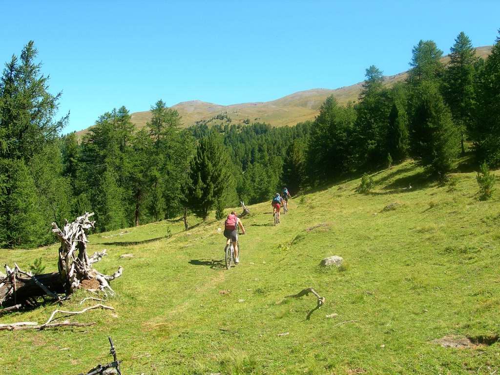
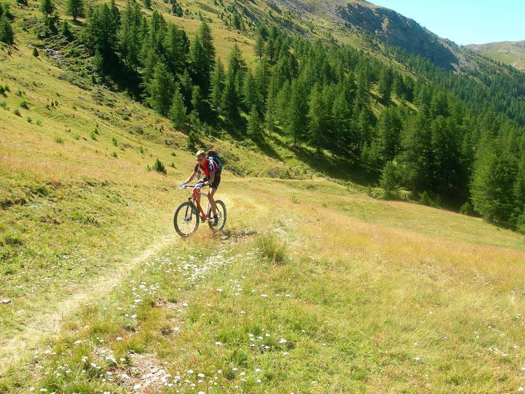
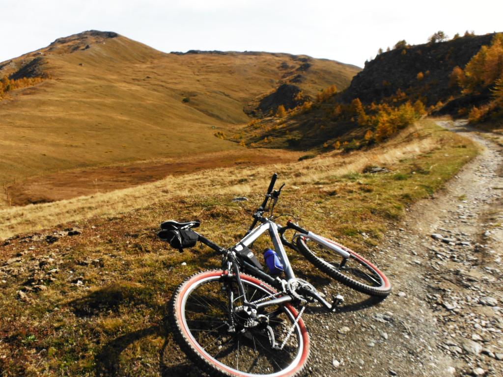
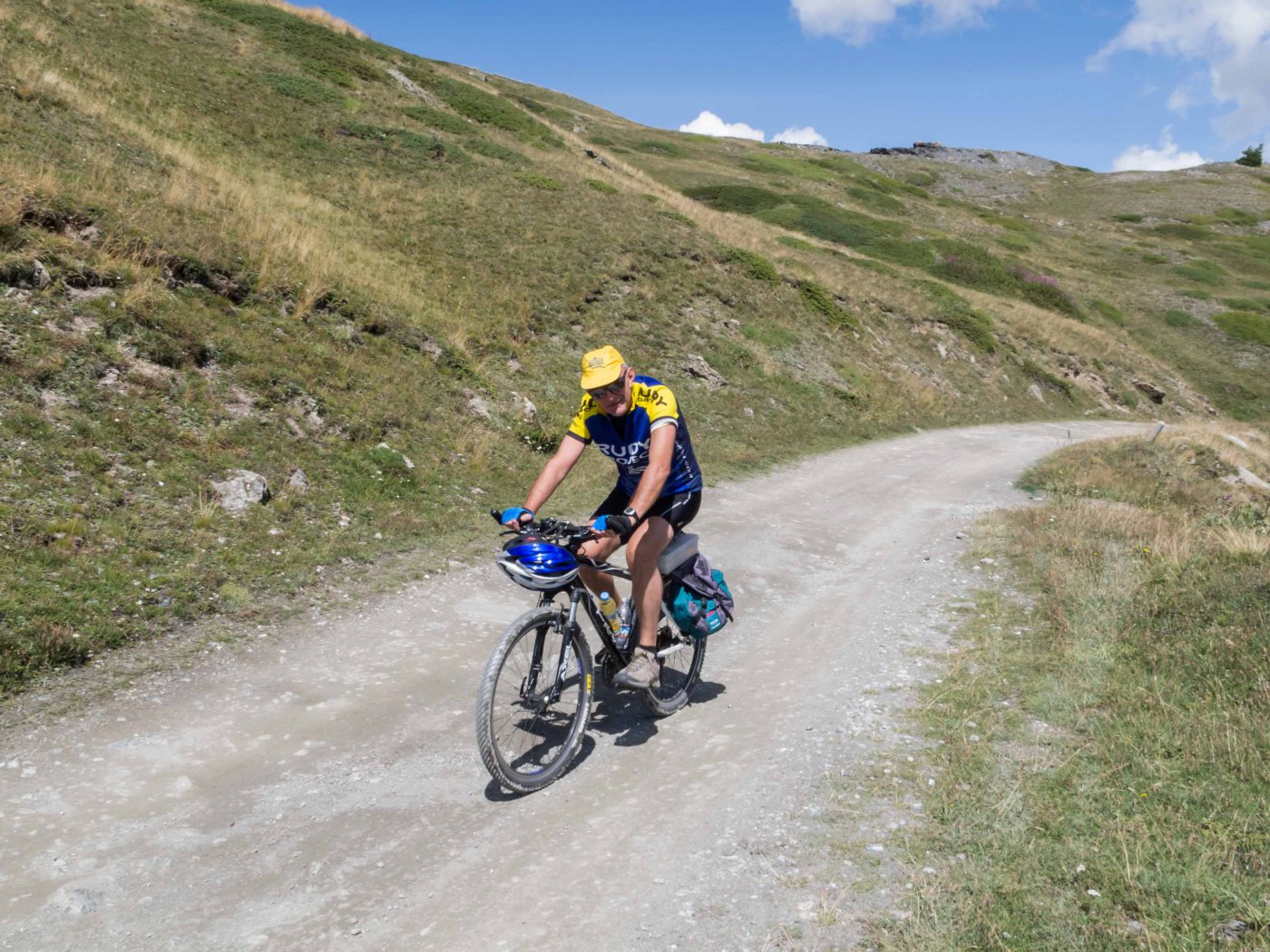
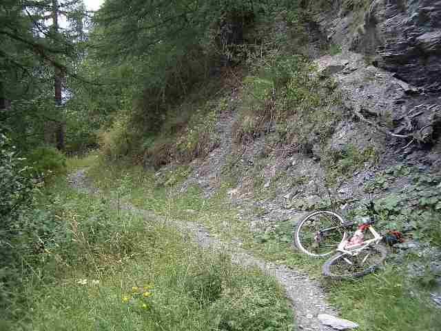
E’ possibile percorrere l’itinerario proposto in entrambi i sensi di marcia: per seguirlo nella direzione con salita lungo la strada dei Cannoni occorre mettere in conto un maggior impegno fisico e alcuni tratti al limite della ciclabilità.
- Cartografia:
- nuova 1:25.000 Alta V.Susa e Chisone; IGC 1:50.000 Valli di Susa Chisone e Germanasca:
- Bibliografia:
- Montagne e Vallate del Pinerolese ed. CDA; MTB nelle Valli Olimpiche Blu ediz.; www.mtbpiemonte
Nelle vicinanze Mappa
Itinerari
16/08/2025 TO, Sauze d'Oulx D+ 1310 m BC, TC, S0 Tutte
Genevris (Monte) da Sauze d’Oulx, Via dei Saraceni
 0m
0m
31/10/2024 TO, Sauze d'Oulx D+ 1240 m MC, BC, S1 Nord
Gran Costa (Monte) da Sauze d’Oulx, giro
 50m
50m
09/07/2023 TO, Sauze d'Oulx D+ 1300 m MC, BC, S1 Varie
Basset (Col) da Sauze d’Oulx, anello per Sestriere e San Sicario
 50m
50m
02/09/2018 TO, Sauze d'Oulx D+ 745 m MC+, MC+, S2 Sud-Ovest
Assietta (Colle dell’) da Sauze d’Oulx
 50m
50m
16/08/2015 TO, Oulx D+ 2400 m OC, OC+, S3 Varie
Chaberton (Monte) da Oulx a Claviere per Madonna del Cotolivier e il Lago Desertes ITINERARIO NON PERCORRIBILE
 2.9Km
2.9Km
21/10/2007 TO, Oulx D+ 750 m MC, MC Varie
Vazon, Chateau Beaulard, Beaulard da Oulx, giro
 2.9Km
2.9Km
17/08/2011 TO, Oulx D+ 2100 m OC, OC+, S3 Tutte
Etiache (Col d’) giro Oulx – Col d’Etiache, ritorno da Pramand per il Forte Foens
2.9Km
27/09/2025 TO, Oulx D+ 1055 m MC, BC, S1 Sud-Est
Madonna del Cotolivier (Cappella) da Oulx
 2.9Km
2.9Km
24/10/2020 TO, Oulx D+ 770 m BC, TC Sud-Ovest
Desertes (Frazione) da Oulx, per Vazon e Lozet
 2.9Km
2.9Km
23/05/2026 TO, Oulx D+ 1400 m BC, BC, S1 Varie
San Giuseppe (Croce) da Oulx per Madonna del Cotolivier, discesa su Desertes
 2.9Km
2.9Km
Servizi
200m
200m
orto del frate Ristorante
Sauze d'Oulx
200m
paddy mc ginty Ristorante
Sauze d'Oulx
3.3Km
La Moretta Ristorante
Oulx
5Km
La Chardouse Rifugio
Oulx
6Km
Il Covo di nord ovest Ristorante
Salbertrand
6.6Km
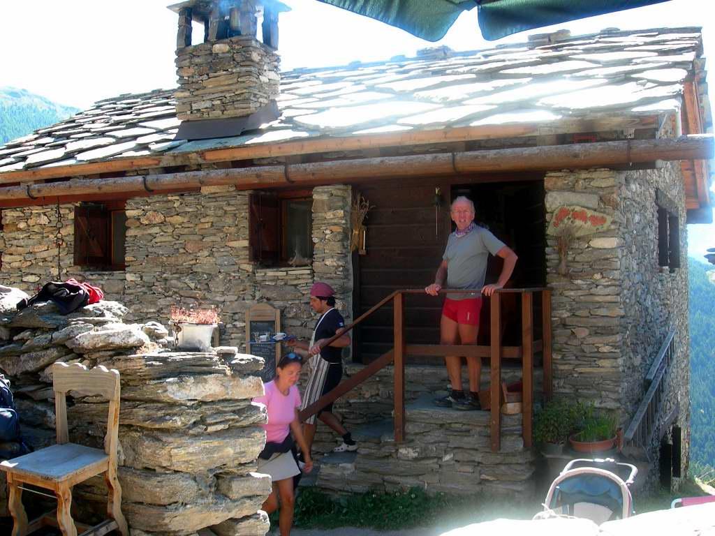
Arlaud Rifugio
Salbertrand
7.8Km
La capanna del sole Ristorante
Pragelato
7.8Km
Al Mulino Ristorante
Pragelato
9.4Km