7.4Km
7.4Km
Avvicinamento
 550m
1.8Km
1.8Km
7.6Km
7.6Km
7.6Km
7.6Km
7.6Km
8.8Km
550m
1.8Km
1.8Km
7.6Km
7.6Km
7.6Km
7.6Km
7.6Km
8.8Km
Da Sauxe di Cesana, seguire la strada della Valle Argentiera fino al Parcheggio Montenero dove si lascia l’auto.
Descrizione
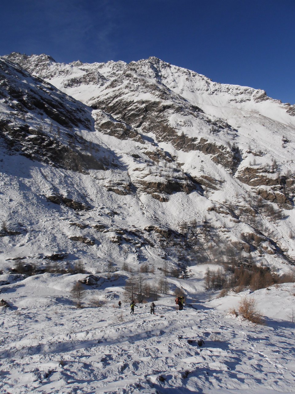
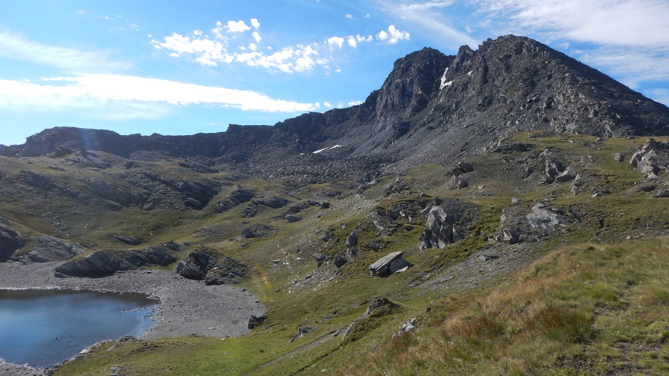
Da qui si attraversa il torrente Ripa su un ponte in cemento proseguendo sempre sulla strada sterrata che porta al Rifugio/Agriturismo Alpe Planes. Si continua sulla sterrata sempre in direzione Est fino a quando si sdoppia, a destra si va nel Vallone del Gran Miol mentre noi dobbiamo proseguire a sinistra.
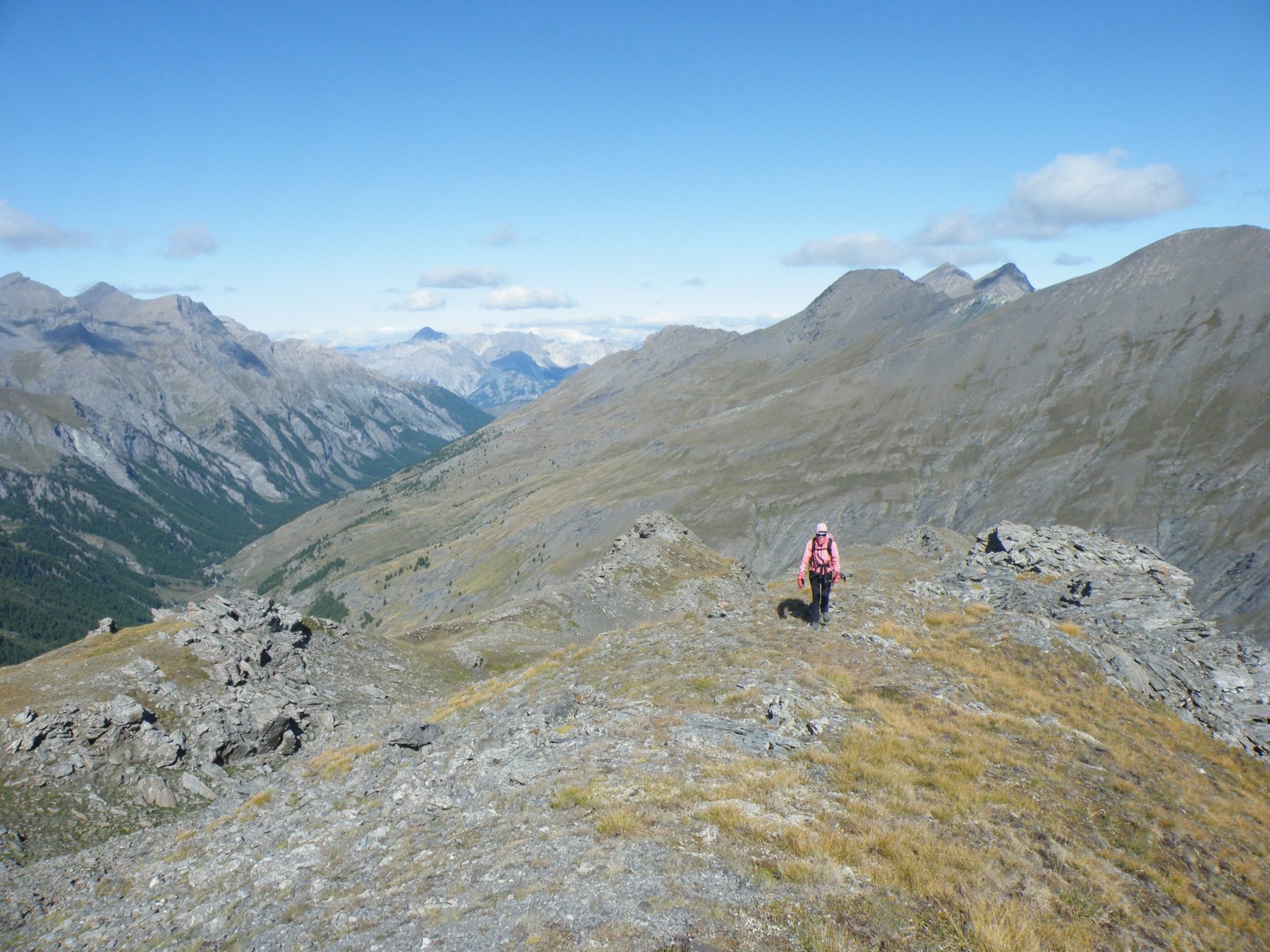
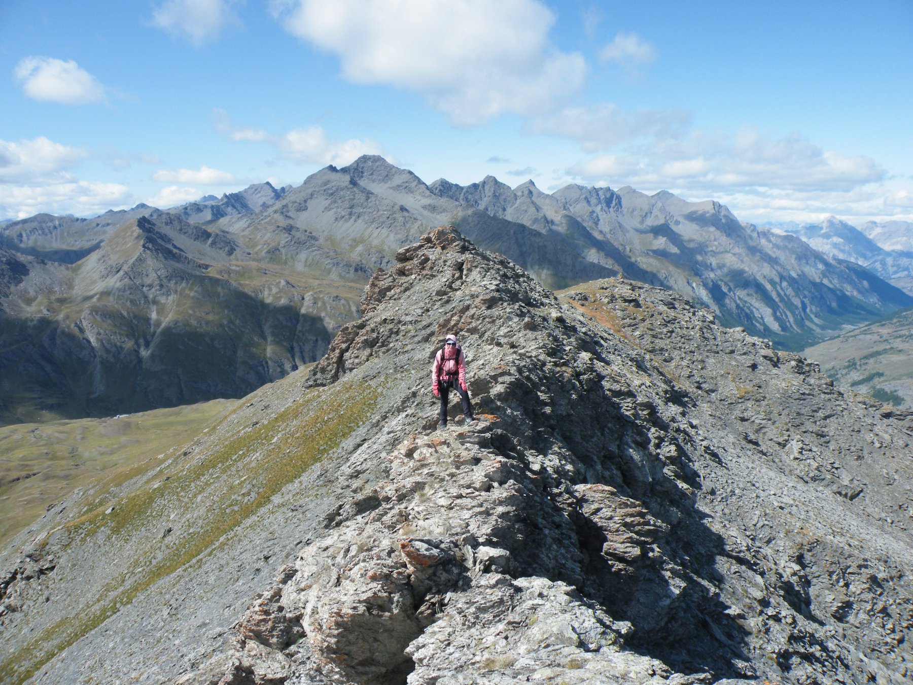
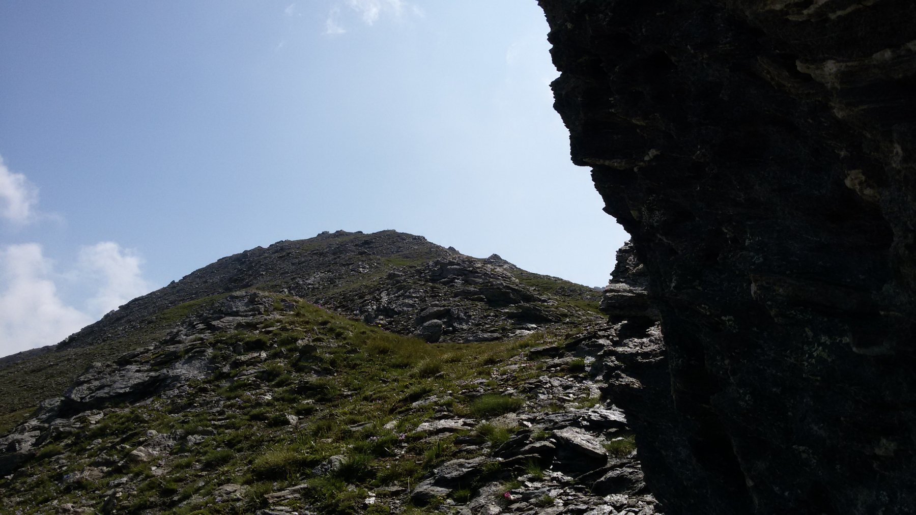
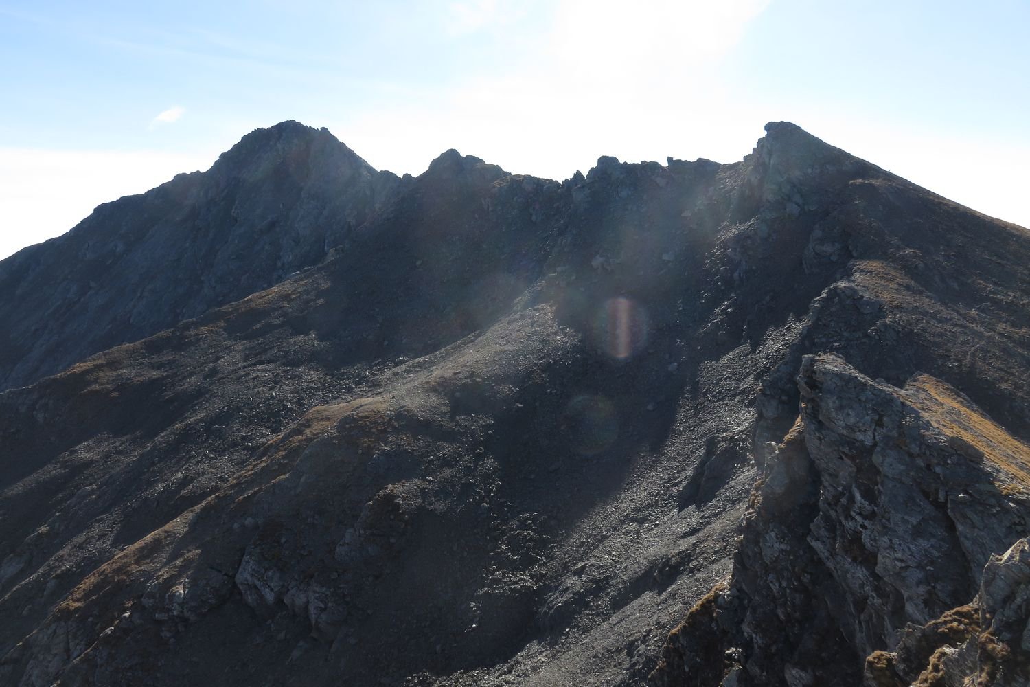
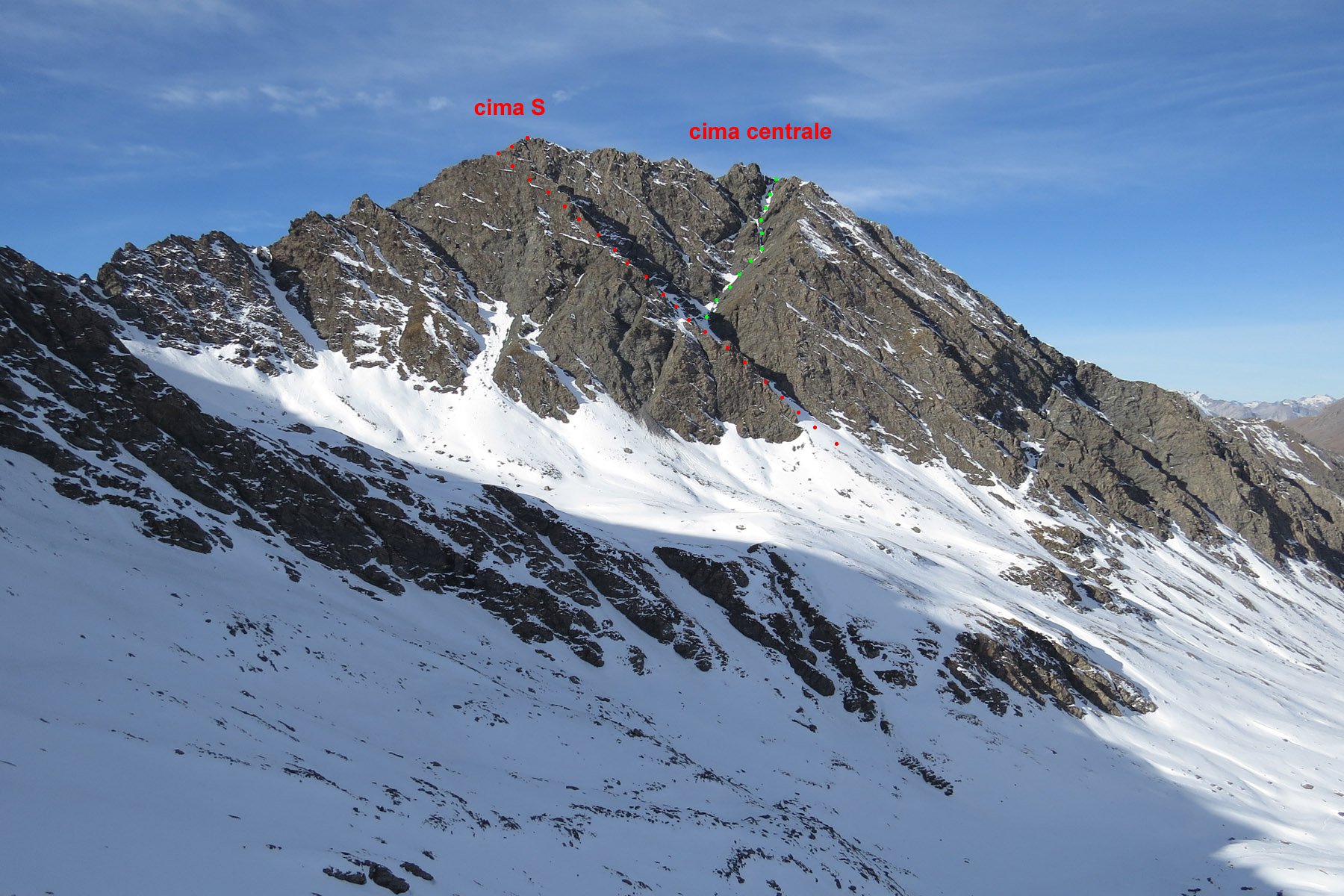
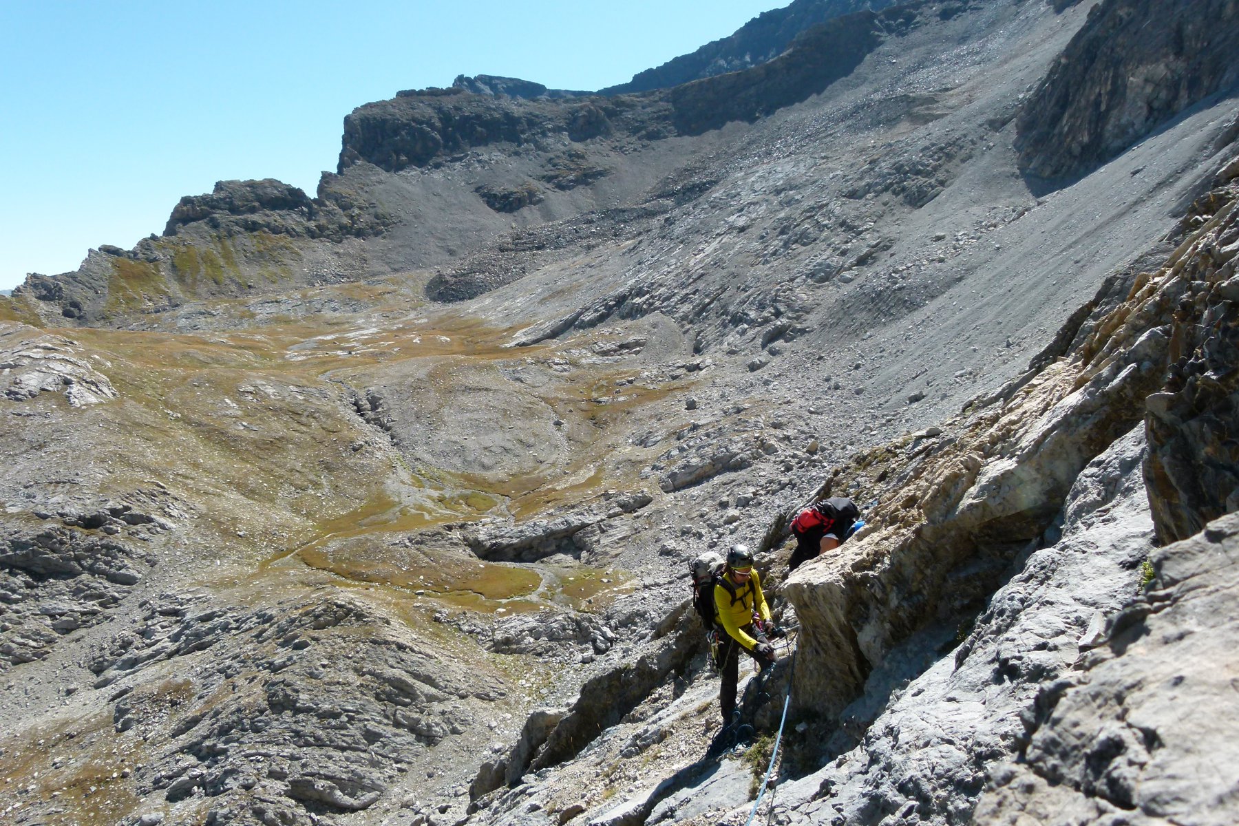
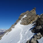
Poco oltre e senza percorso obbligato iniziamo a salire per praterie alpine in direzione Est-Sud-Est fino a raggiungere la cima della Pera Ruia. Da qui risulta evidente tutto il percorso per cresta, che se percorsa integralmente presenta passi di II esposti. Buona parte delle difficoltà è facilmente aggirabile, ma così si perde la parte più divertente.
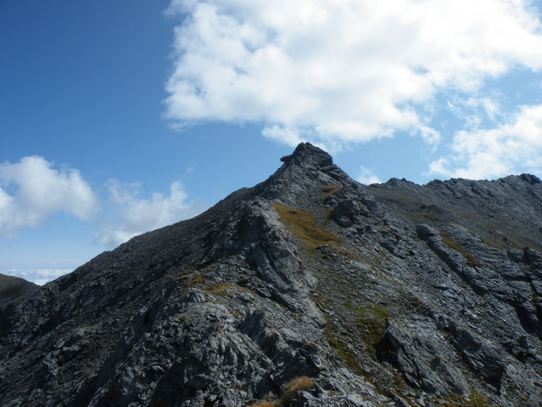
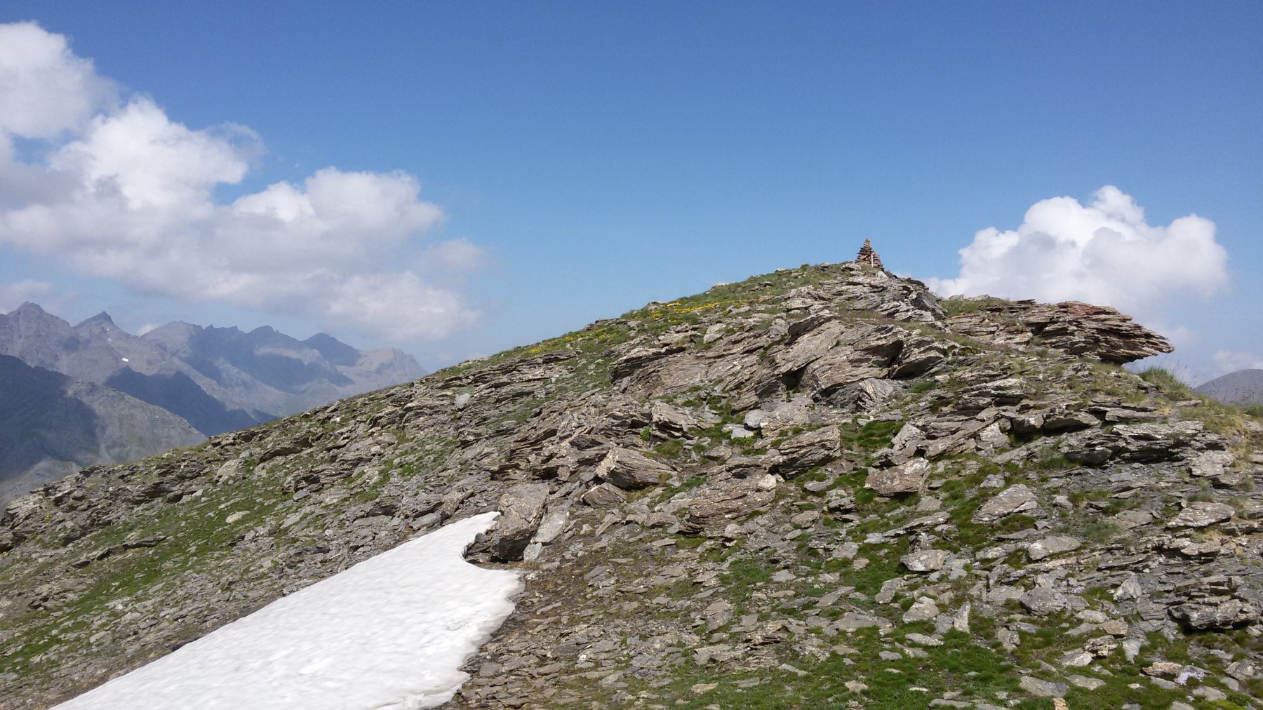
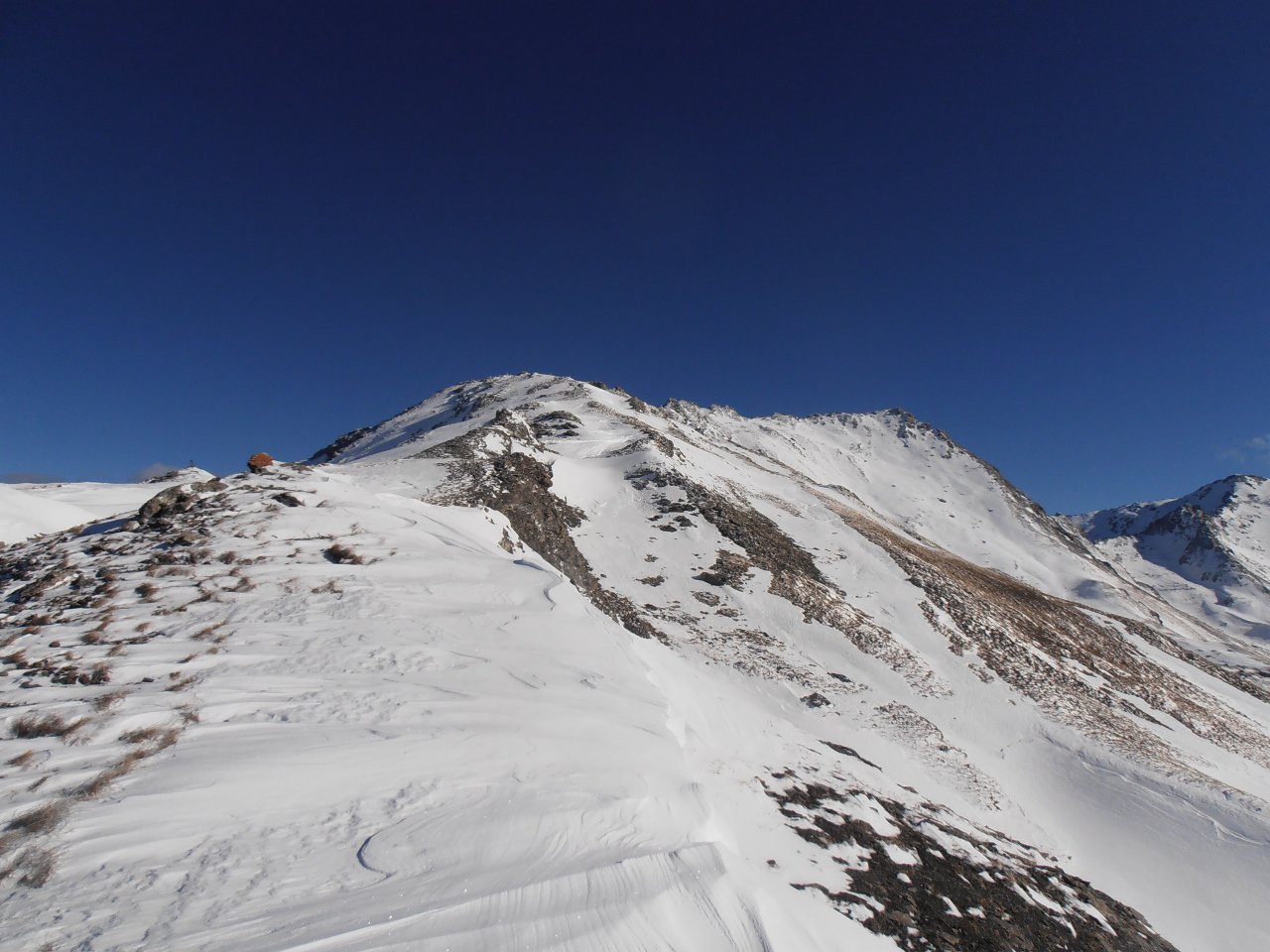
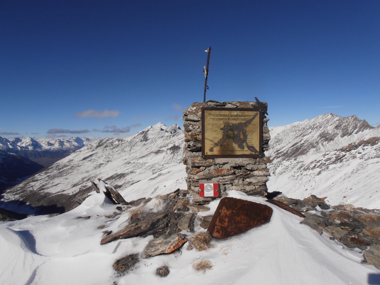
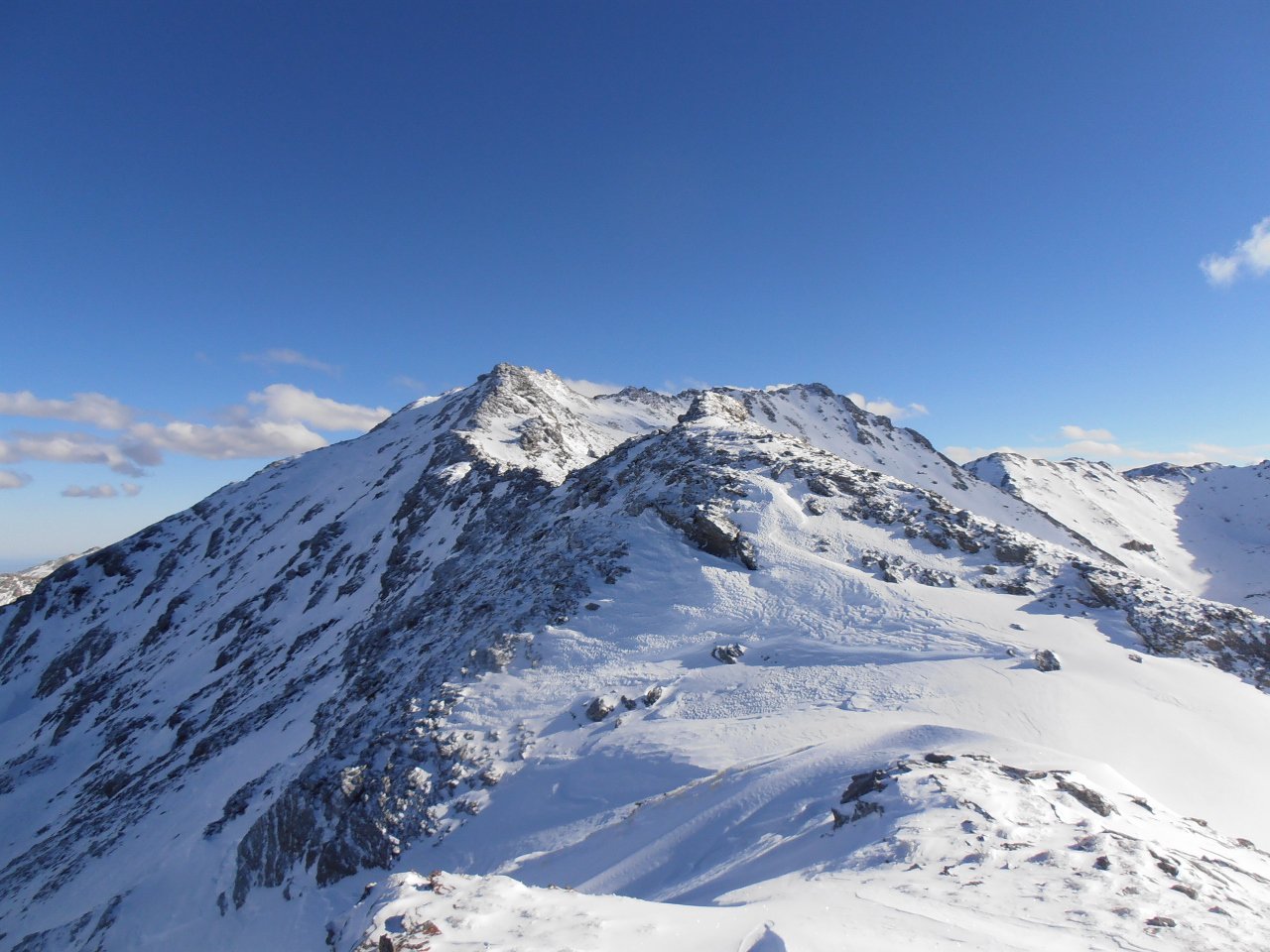
Proseguiamo ora in direzione della P. del Gran Miol Nord 2908 m salendo su tracce di sentiero e poi su massi accatastati (passi di I). La parte più tecnica inizia da questo punto, proseguire sempre per cresta fino a raggiungere la vetta centrale del Gran Miol m 2989, quindi la vetta sud m 2995. Tenere conto che la roccia è a tratti abbastanza friabile.
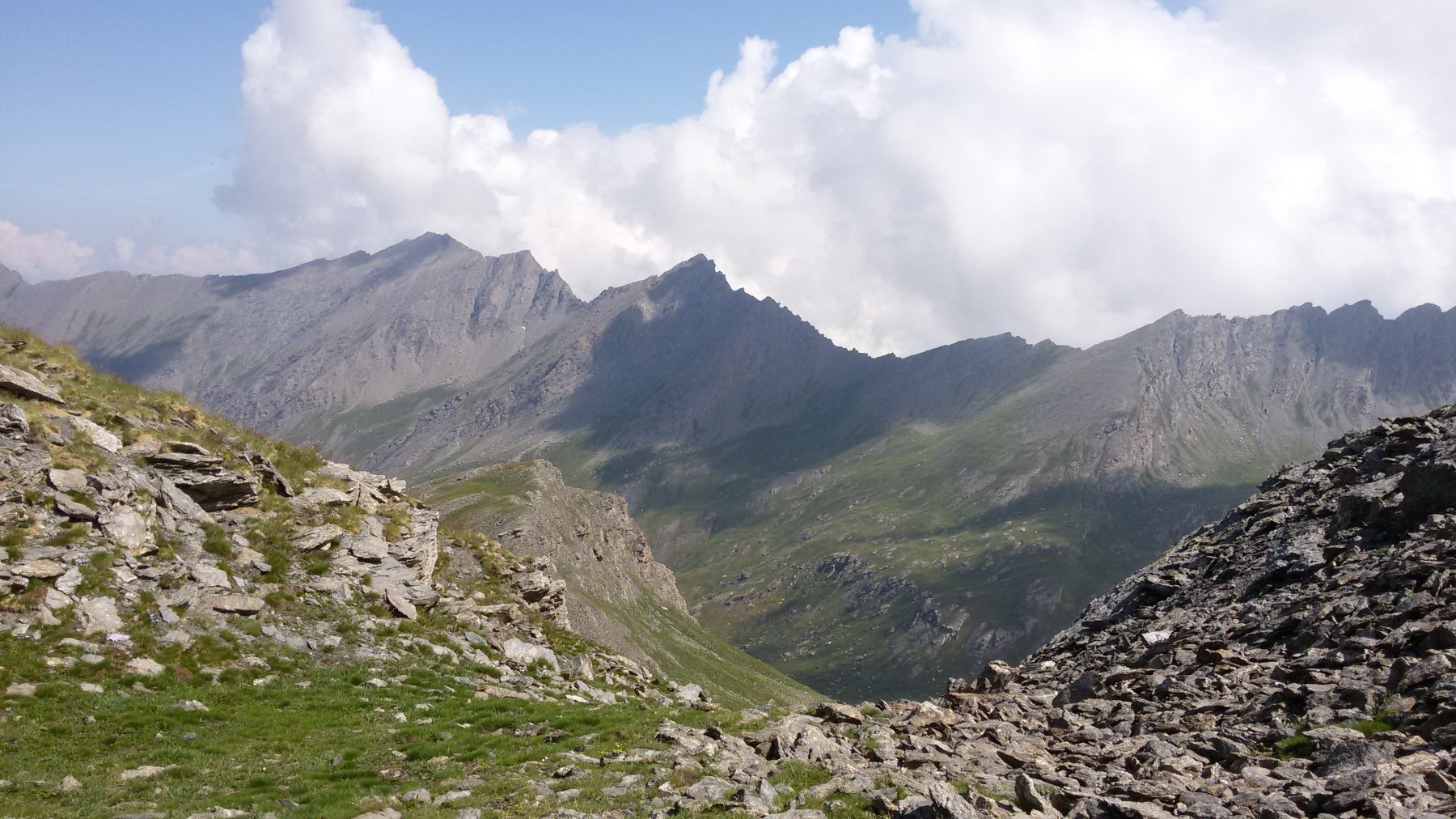
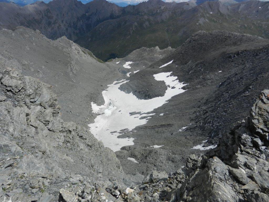
Discesa: Per il percorso di salita aggirando facilmente tutti i punti più ostici oppure scendere lungo il ripido canalone di detriti in direzione Ovest-Sud-Ovest fino a raggiungere l’Alpe del Gran Miol (tracce). Da qui per la strada sterrata rientrare al parcheggio dal Vallone del Gran Miol (possibilità di scorciatoie).
- Cartografia:
- IGC n. 1 Valli Susa, Chisone e Germanasca
- Bibliografia:
- CAI Guida Monti d'Italia Alpi Cozie Centrali
Nelle vicinanze Mappa
Itinerari
07/10/2017 TO, Sauze di Cesana D+ 1200 m F+ Ovest
Vergia (Punta) Cresta O/NO dalla Valle Argentera
 550m
550m
14/07/2015 TO, Sauze di Cesana D+ 1450 m PD Varie
Tre Merli (Punta) dalla Valle Argentera per la Cresta NO
700m
19/06/2016 TO, Sauze di Cesana D+ 1100 m PD Varie
Gran Miol (Punta del), cima sud Parete Est, Canale a Y, ramo sx
 1.8Km
1.8Km
25/08/2013 TO, Sauze di Cesana D+ 1150 m PD- Nord
Ramière (Punta) o Bric Froid per il versante E e la cresta SE
 1.8Km
1.8Km
25/08/2025 TO, Sauze di Cesana D+ 1700 m AD Nord
Boucher (Roc del) traversata di cresta dal Mont Furgon
 7.6Km
7.6Km
06/09/2015 TO, Sauze di Cesana D+ 932 m AD Varie
Furgon (Monte) Parete SE
 7.6Km
7.6Km
29/01/2022 TO, Sauze di Cesana D+ 1260 m D Nord-Est
Brusà (Punta) Couloir NE di destra
 7.6Km
7.6Km
22/08/2018 TO, Sauze di Cesana D+ 1230 m AD Est
Furgon (Monte) Spigolo Est
 7.6Km
7.6Km
26/12/2015 TO, Sauze di Cesana D+ 1260 m D+ Nord-Est
Brusà (Punta) Couloir Est
 7.6Km
7.6Km
17/06/2026 TO, Pragelato D+ 1122 m F+ Nord-Ovest
Ghinivert (Bric) Cresta NO dal Colle del Beth
 8.8Km
8.8Km