100m
100m
Avvicinamento
Storico
 1.4Km
2.3Km
3.4Km
4.1Km
4.1Km
4.1Km
4.1Km
4.2Km
4.2Km
4.3Km
1.4Km
2.3Km
3.4Km
4.1Km
4.1Km
4.1Km
4.1Km
4.2Km
4.2Km
4.3Km
100m
1.5Km
2.6Km
3.2Km
3.4Km
3.4Km
3.4Km
3.4Km
3.4Km
3.4Km
.
Descrizione
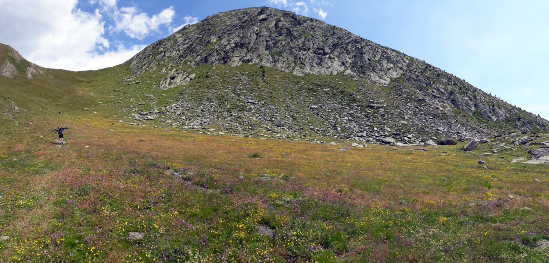
Si parte dalle miniere della Gianna, parcheggiando l’auto in uno dei tanti parcheggi per le visite a Scopriminiera a quota 1250 circa (50 metri più su o 50 metri più giù).
Si va al bivio per Rodoretto e si comincia a pedalare su questa strada asfaltata che diventerà ben presto sterrata, continuando così fino alla Bergeria della Balma a quota 1870 circa dove la sterrata finisce dentro la bergeria.
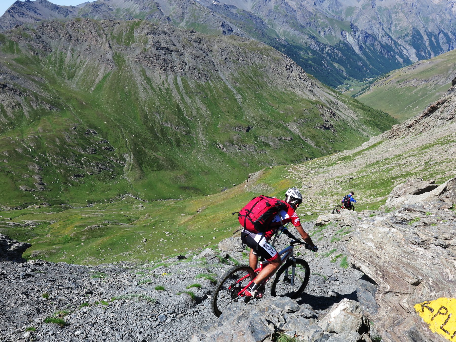
Noi subito dopo il ponte imbocchiamo la mulattiera che sempre ben segnalata e abbastanza ciclabile, ci porta a salire fino a quota 2300 dove da qui in poi la ciclabilità finisce.
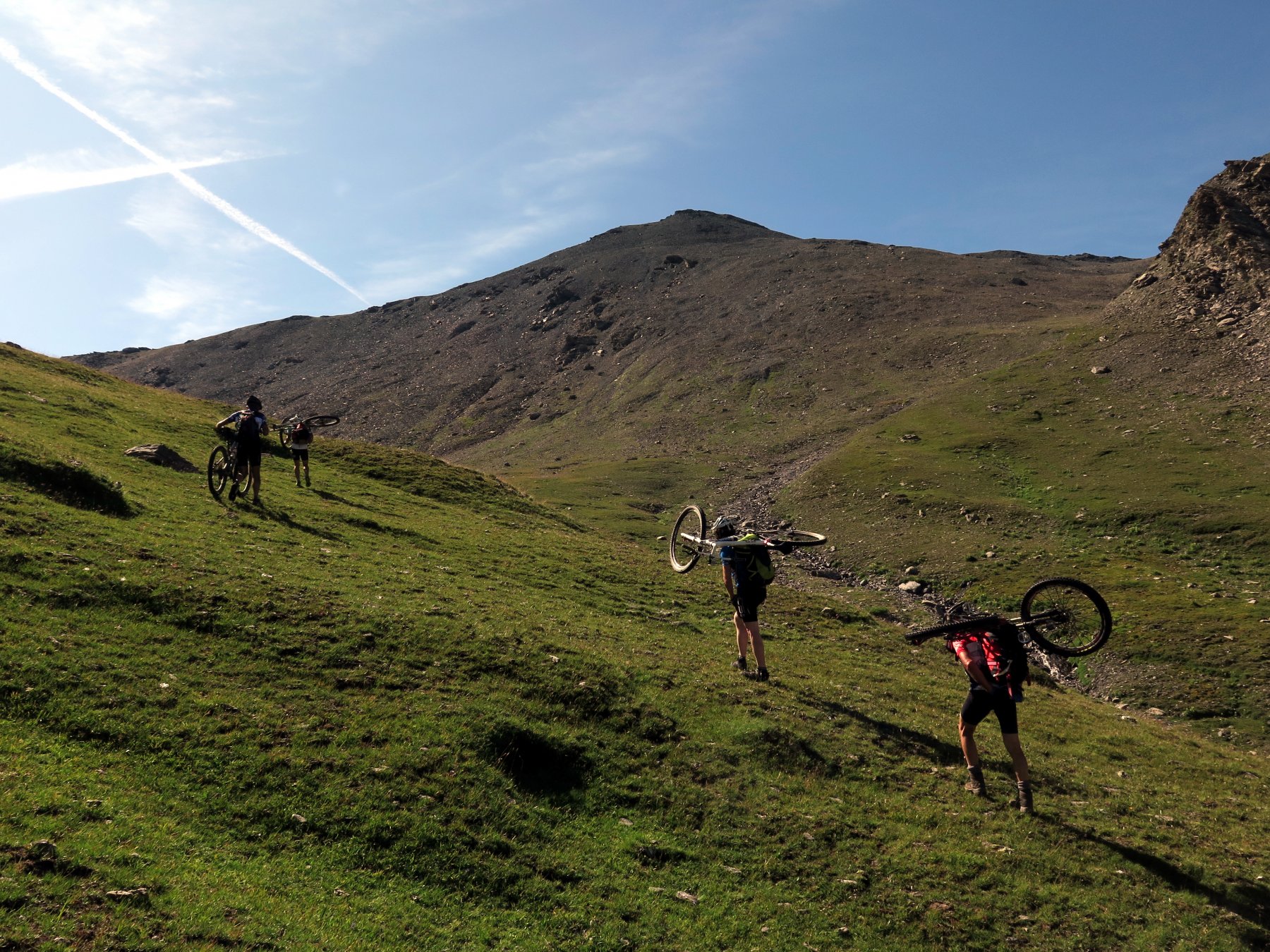
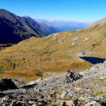
Ora bici in spalla si prosegue per il Colle di Rodoretto che ci arriviamo a metri 2780 e km 11 circa.
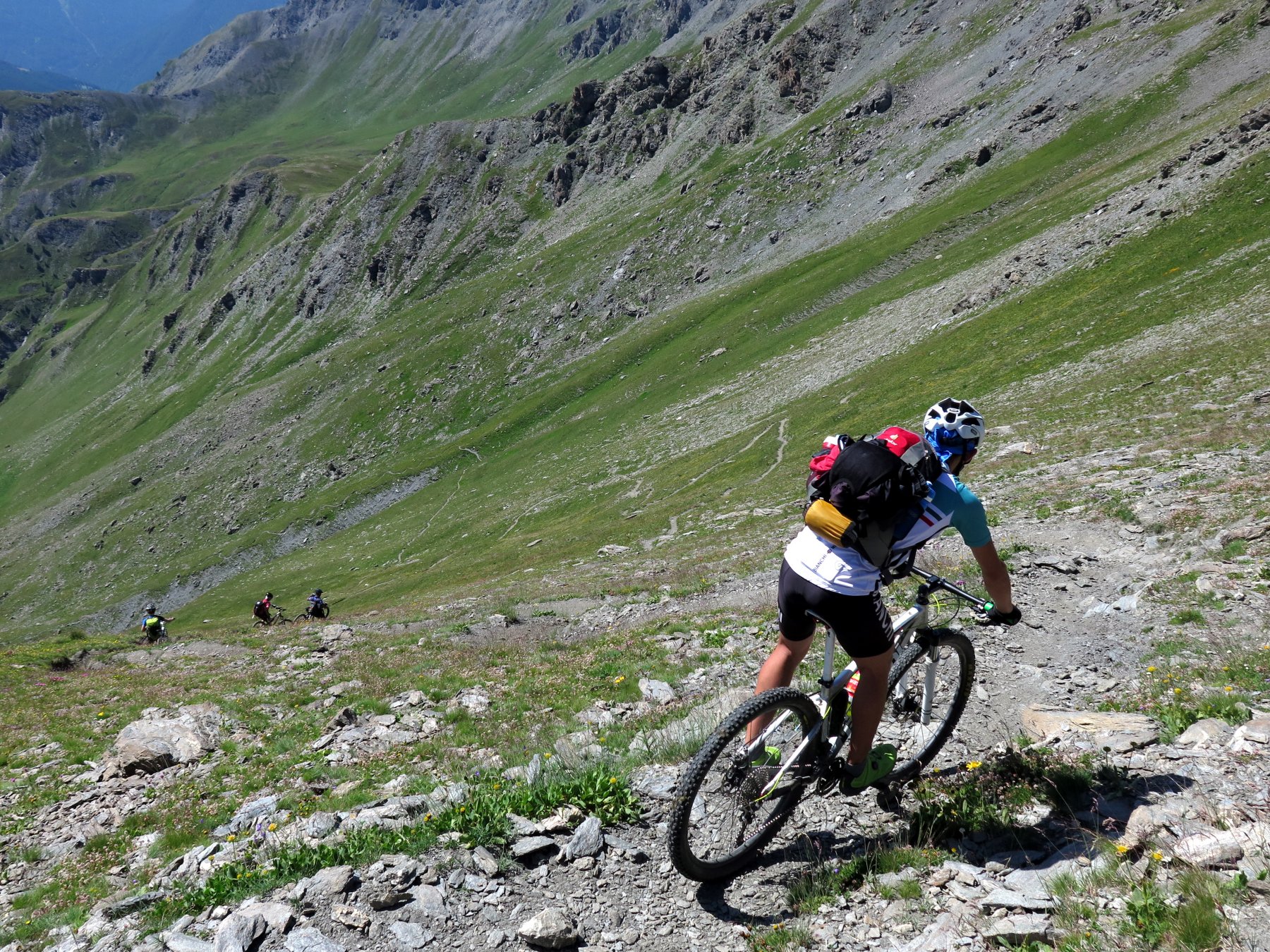
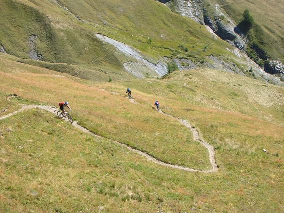
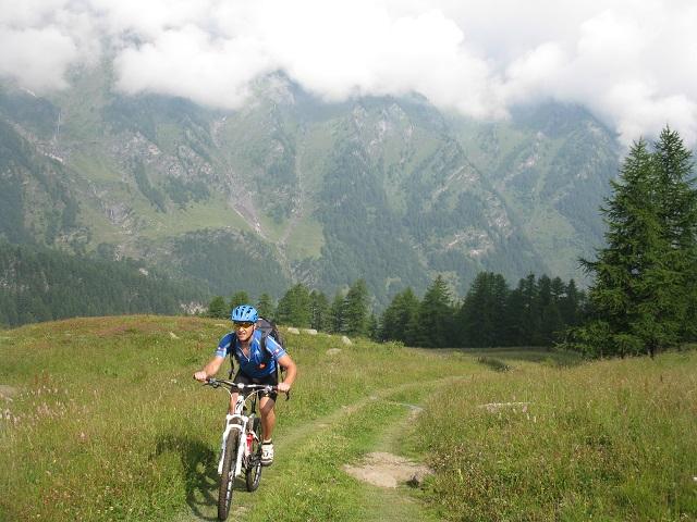
Solita foto di rito e giù sul sentiero che scende nella Valle Lunga con bici al fianco per 100/150 metri di dislivello, quando inaspettatamente il sentiero si lascia ciclare fino a trovare una sterrata che ci porta all’Alpe Planes e successivamente al Ponte sul Torrente Ripa a m 1900 e km 15 circa.
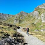
Proseguiamo ora sulla bellissima sterrata della Valle Argentera fino al km 23 circa a quota 1660, dove prima di attraversare il Ponte Terribile, imbocchiamo la sterrata che collega il Ponte delle Albere passando sulla sinistra orografica della Valle.
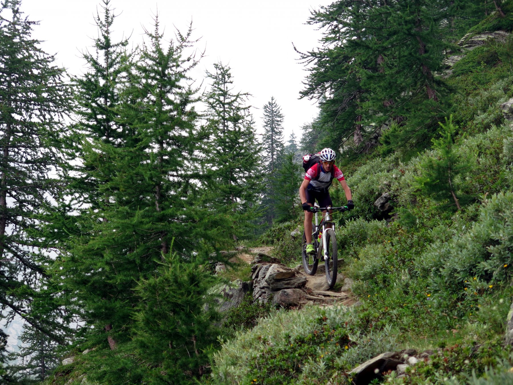
Arrivati dopo 2 km circa al Ponte delle Albere, cominciamo a salire sempre sulla sinistra verso la Cima del Bosco su bellissima sterrata fino alla cima a metri 2376 e km 34 circa.
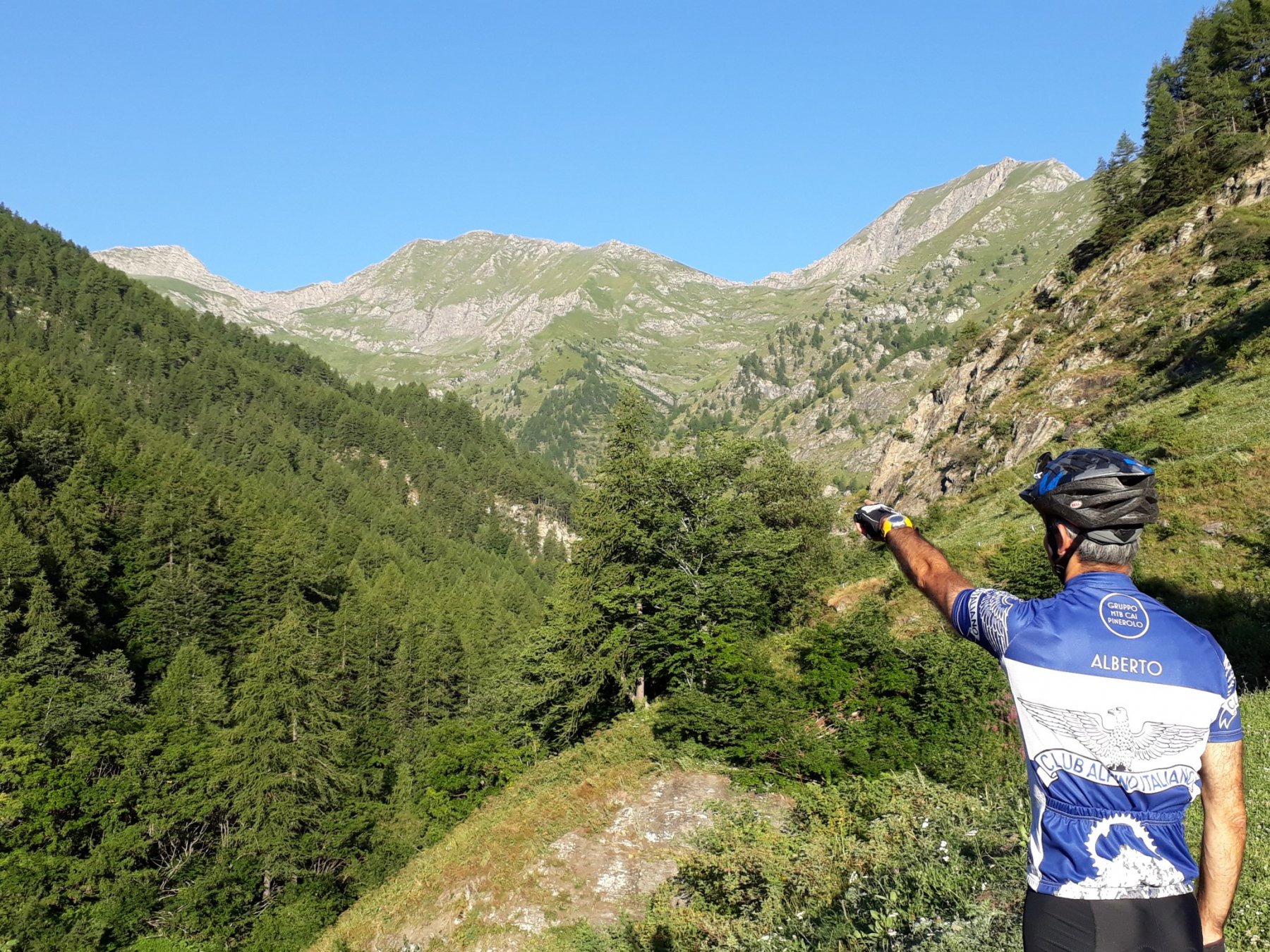
Anche qui solita foto di rito alla Cappelletta della cima e poi visto che per oggi le salite sono finite, possiamo anche soffermarci e riposarci ammirando il panorama che è stupendo. Dopo aver ripreso fiato, ritorniamo indietro per pochi metri e scendiamo sul sentiero verso sudovest che tutto ciclabile ci porta alla Borgata Thures dove passeremo la notte al Rifugio Fontana di Thures tel.0122-845156 da Mattia (gentilissimo e disponibile), km 37 e m 1650 circa.
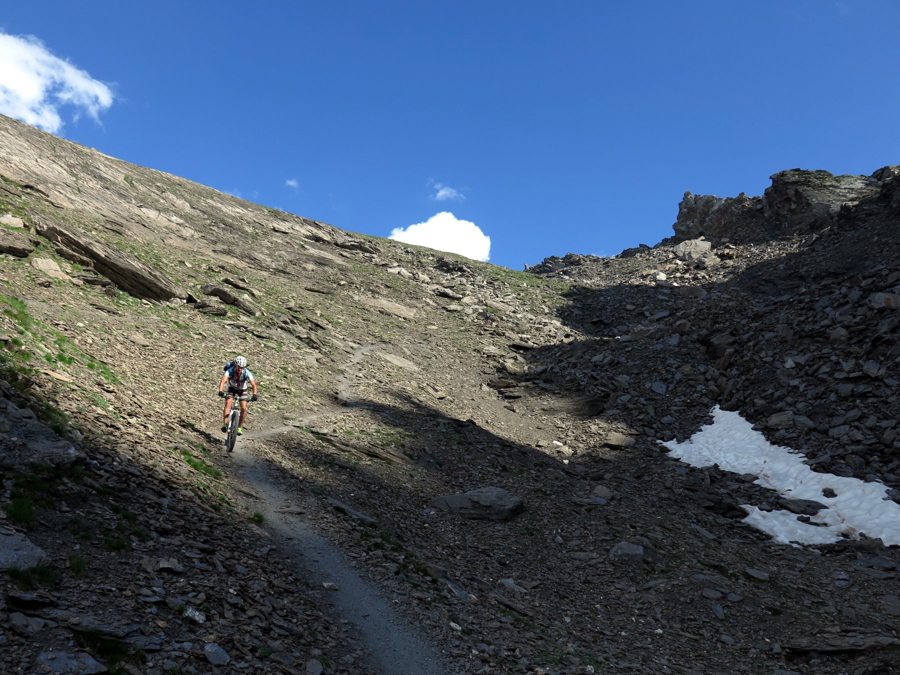
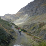
Il mattino dopo, imbocchiamo la sterrata della Valle Thuras e senza possibilità di errore e con una impegnativa ma diretta pedalata fin sotto il Colle Thuras, a m 2500 e km 49 circa, qui bici in spalla raggiungiamo il Colle a m 2798 con km 51 circa.
Ora non ci resta che tirarci giù la bici con discesa su sentiero con fondo buono ma troppo ripido quindi niente pedalare fino a quota 2500 circa, poi il sentiero comincia a regalarci qualche pezzetto di ciclabilità fino a diventare totalmente ciclabile e quindi arriviamo alla stradina sterrata al km 53 e m 1900 circa, seguiamo ora la strada che arriva a Les Roux dove troviamo l’asfalto.
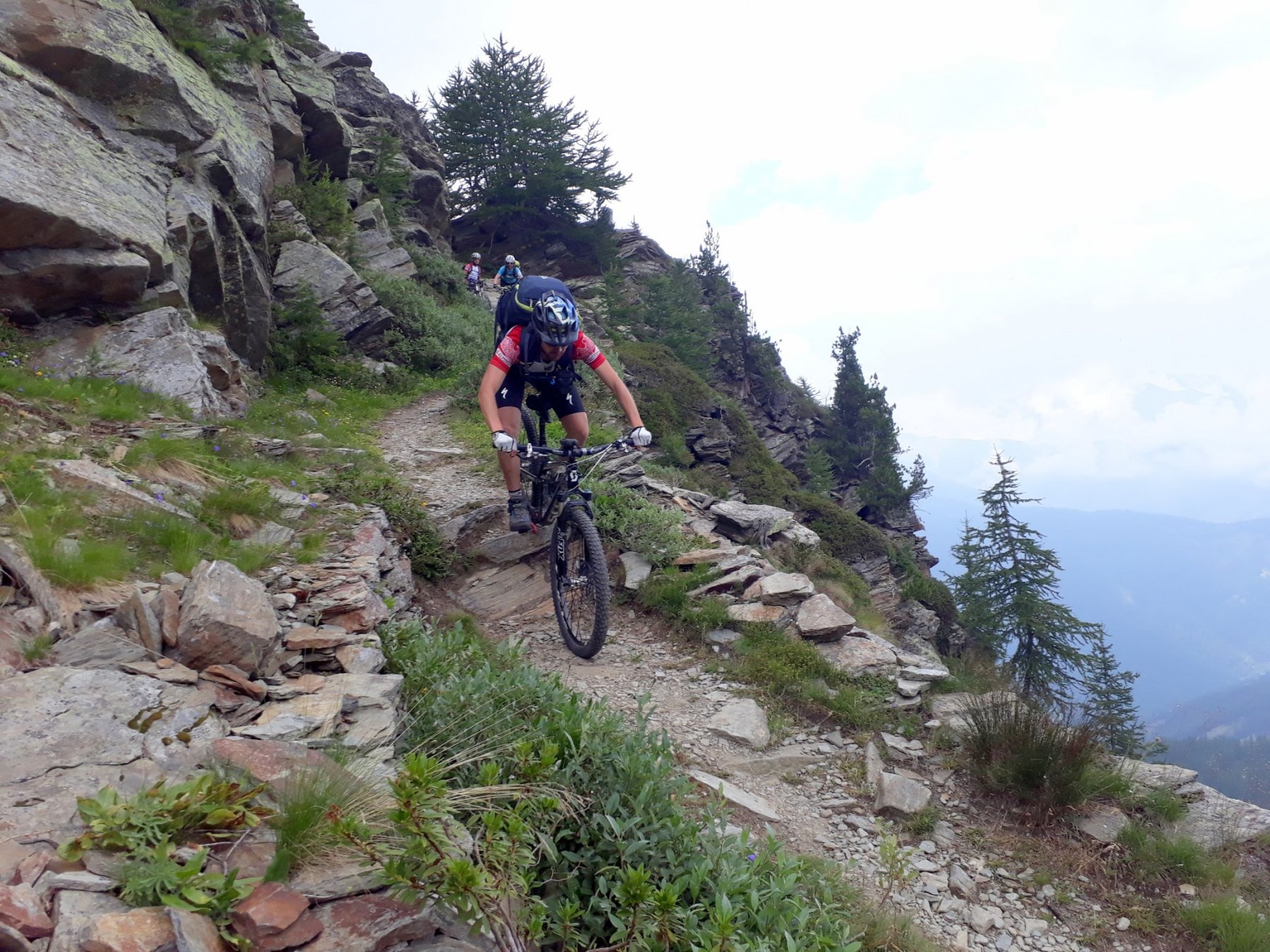
Lo seguiamo fino ad Abries e poi Ristolas e La Monta, dove cerchiamo la mulattiera per il Colle della Croce al km 65 e m 1680 circa. Imbocchiamo questa mulattiera che, sistemata di recente, ed in parte ciclabile ed in parte no, cominciamo ad alzarci di quota fino a diventare completamente ciclabile, ed in poco tempo arriviamo al Colle della Croce a m 2298 e km 69 circa.
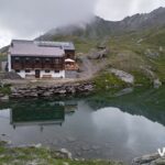
Ora non ci resta che scendere sulla mulattiera che con qualche breve tratto non ciclabile ci porta a scendere nella Conca del Prà ed al Rifugio Jervis a pernottare tel.0121-932755, km 71 e m 1749.
Al mattino del 3° giorno si parte dal Rifugio Jervis e si scende a Villanova m 1262, si riprende a salire verso l’unica sterrata che sale verso la Colletta Faure e all’Alpe Bancet, poco sopra le bergerie Randulire e prima di arrivare alla Colletta Faure, a quota 1990 circa e km 81, si devia a destra su una sterrata di recente costruzione, (anno 2006), si prosegue su di essa con un paio di sali e scendi fino alle Bergerie del Giulian a m 2100 e km 84 circa.
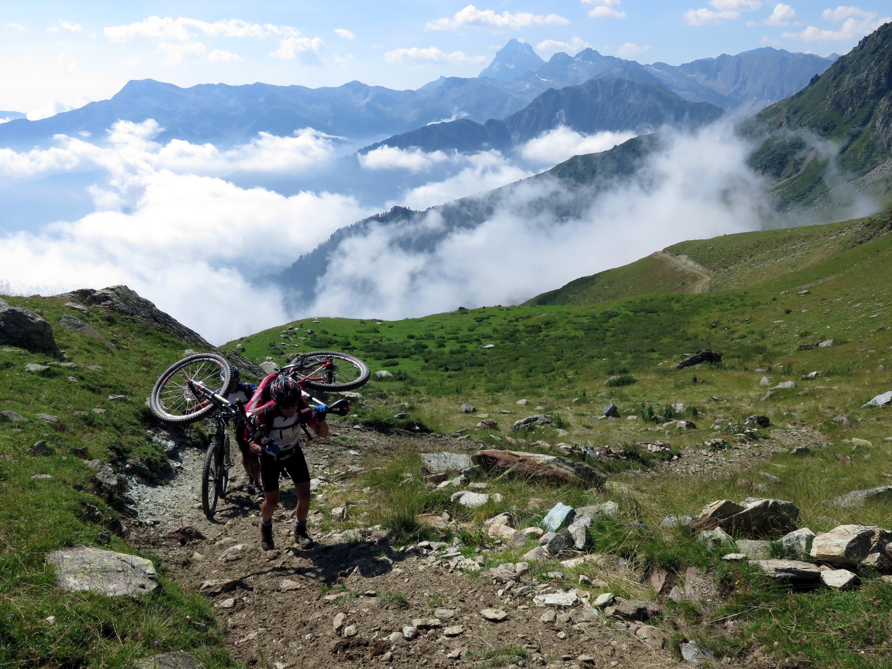
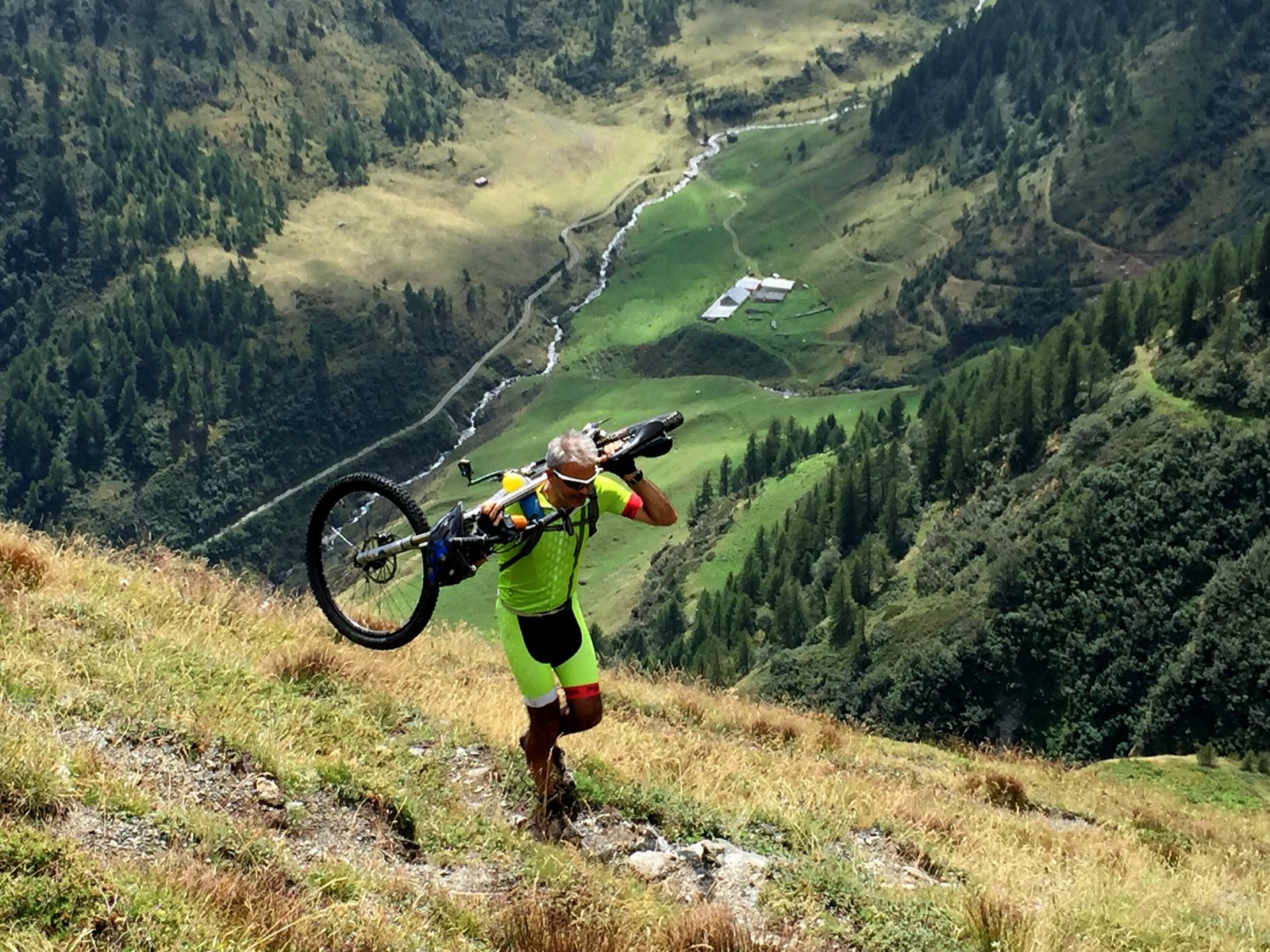
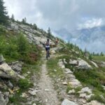
Ora ci resta un lungo tratto di bici in spalla, fino al Colle del Giulian ed oltre, diciamo fino ai tredici laghi! Perché il sentiero è molto brutto ed è veramente difficile stare in sella senza rischiare di cadere rovinosamente e farsi male.
Dai tredici laghi si sale in breve al Bric Rond, all’arrivo della seggiovia con buona parte ciclabile. Dal Bric Rond poi si segue il segnavia n° 9 della M.P. Conca Cialancia e si transita presso il Lago di Envie, si prosegue fino al Colle della Balma sotto alla Rocca Bianca, km 94 e m 2300 circa.
Si scende ora sempre in sella alle nostre bici, alla Colletta Sellar, e poi sempre in sella se non per un primo brevissimo tratto, ai dormitori dei minatori di Malzas.
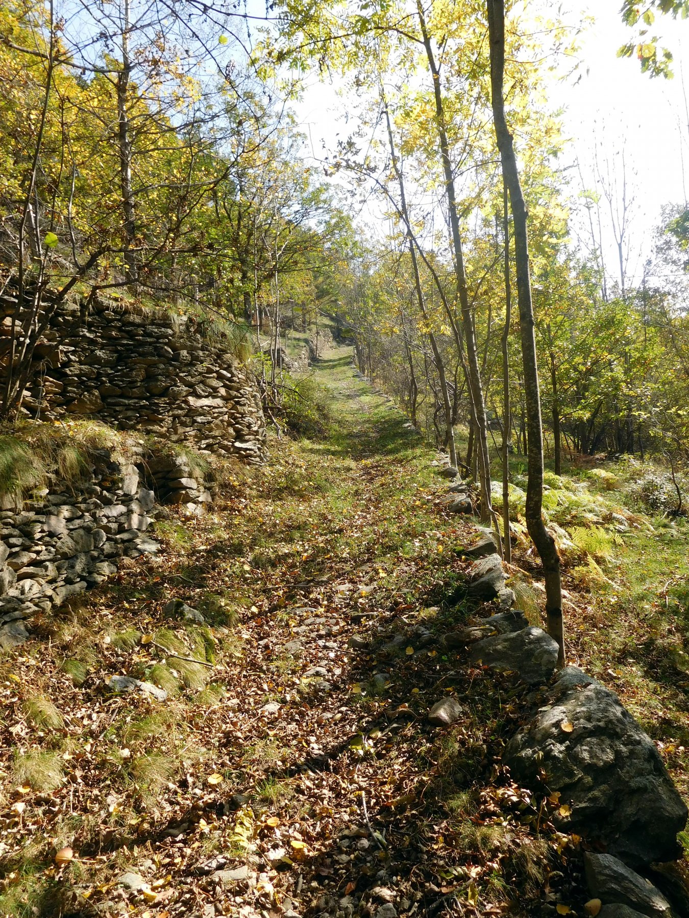
Ora imbocchiamo decisamente verso sinistra il sentiero che abbastanza impegnativo ma sempre ciclabile ci porta a Borgata Crosetto ritrovando la sterrata che in breve ci porta sull’asfalto e poi alle macchine chiudendo l’anello in km 113 circa.
VARIANTE PER AGOSTINO: Ad ottobre 2018 ci ha lasciati il nostro amico Agostino Benedetto, socio e accompagnatore di Mountain Bike del CAI Pinerolo. Abbiamo voluto ricordarlo aggiungendo questa variante in uno dei giri più belli e duri che ci offre la nostra zona, giro che lui sicuramente con la sua preparazione e il suo entusiasmo avrebbe affrontato molto volentieri insieme a noi!
Da Abries invece di seguire l'itinerario descritto e salire al Colle della Croce per scendere al Pra continuiamo verso il fondovalle arrivando fino alla conclusione della strada al Belvedere du Viso. A questo punto troveremo il sentiero che parte dallo spiazzo e indica, tra gli altri, il Refuge du Viso e Col Selliere.
Saliamo su questo bel sentiero fino ad un altro bivio dove dobbiamo tenere la sinistra (indicazioni chiare) mentre a destra si va al Ref. du Viso, qui il sentiero si fa duro e ripido, bici in spalla si raggiunge il Col Selliere, ultimo colle affrontato da Agostino in quel giorno, a suo ricordo verrà posata una targa commemorativa.
La discesa è tanto bella quanto impegnativa, prestare molta attenzione, tratti rocciosi intervallati da sentiero liscio si susseguono fino a raggiungere il Lago Lungo, nei pressi del Rifugio Granero. Ora non ci resta che scendere al Pra e raggiungere il Rifugio Jervis dove passeremo la notte.
- Cartografia:
- IGC, 1:50.000 n° 1 VALLI DI SUSA CHISONE e GERMANASCA e n° 6 MONVISO
Nelle vicinanze Mappa
Itinerari
09/09/2015 TO, Prali D+ 2350 m BC+, OC+, S4 Varie
Frappier, Rodoretto, Longia (Colli) da Rodoretto, giro
 1.4Km
1.4Km
26/08/2015 TO, Salza di Pinerolo D+ 1400 m OC, OC+, S2 Tutte
Balma (Colle della) da Salza, giro
 2.3Km
2.3Km
19/08/2020 TO, Prali D+ 2650 m BC+, OC+, S4 Tutte
Cerisira (Punta) da Prali, giro del Bric Bucie per Lago Verde, Colle di Valpreveyre, Col Bucie, Alpe Bancet
 3.4Km
3.4Km
02/10/2021 TO, Prali D+ 1200 m OC, BC, S0 Nord-Ovest
Lago Verde (Rifugio) da Prali
 4.1Km
4.1Km
06/07/2025 TO, Prali D+ 1000 m BC, BC+, S3 Varie
Bianca (Rocca) e Lago di Envie da Prali, giro
 4.1Km
4.1Km
19/07/2014 TO, Prali D+ 1580 m BC+, BC+, S2 Varie
Rametta (Passo) da Prali, giro dei 13 Laghi
 4.1Km
4.1Km
28/06/2026 TO, Prali D+ 1500 m BC, BC+, S2 Tutte
Gran Guglia (Colletto della) da Prali, giro della Gran Guglia per il Rifugio Lago Verde
 4.1Km
4.1Km
09/09/2023 TO, Prali D+ 2300 m BC, BC+, S2 Varie
Abries e Valpreveyre (Colli) da Prali, giro per Valpreveyre
 4.2Km
4.2Km
30/07/2022 TO, Prali D+ 1200 m BC, BC, S3 Varie
Abriès (Col d’) da Prali, traversata ad Abries
 4.2Km
4.2Km
20/10/2018 TO, Massello D+ 700 m MC, BC+, S2 Sud-Ovest
Troncea (Pascoli) da Massello, giro
 4.3Km
4.3Km
Servizi
100m
1.5Km
Charlie Bar Ristorante
Prali
2.6Km
Da Piero Ristorante
Salza di Pinerolo
3.2Km
Nido dell’orso Ristorante
Prali
3.4Km
Agape Rifugio
Prali
3.4Km
Del minatore Ristorante
Prali
3.4Km
Lago Verde Rifugio
Prali
3.4Km
La Brasserie Ristorante
Prali
3.4Km
Miandette di Grill B&B
Prali
3.4Km