2.6Km
2.6Km


Avvicinamento
 50m
50m
50m
50m
50m
50m
1.5Km
1.5Km
1.5Km
50m
50m
50m
50m
50m
50m
1.5Km
1.5Km
1.5Km
2.6Km
3.2Km
3.9Km
4.5Km
4.6Km
4.7Km
7.2Km
7.6Km
9.1Km
9.4Km
.
Descrizione
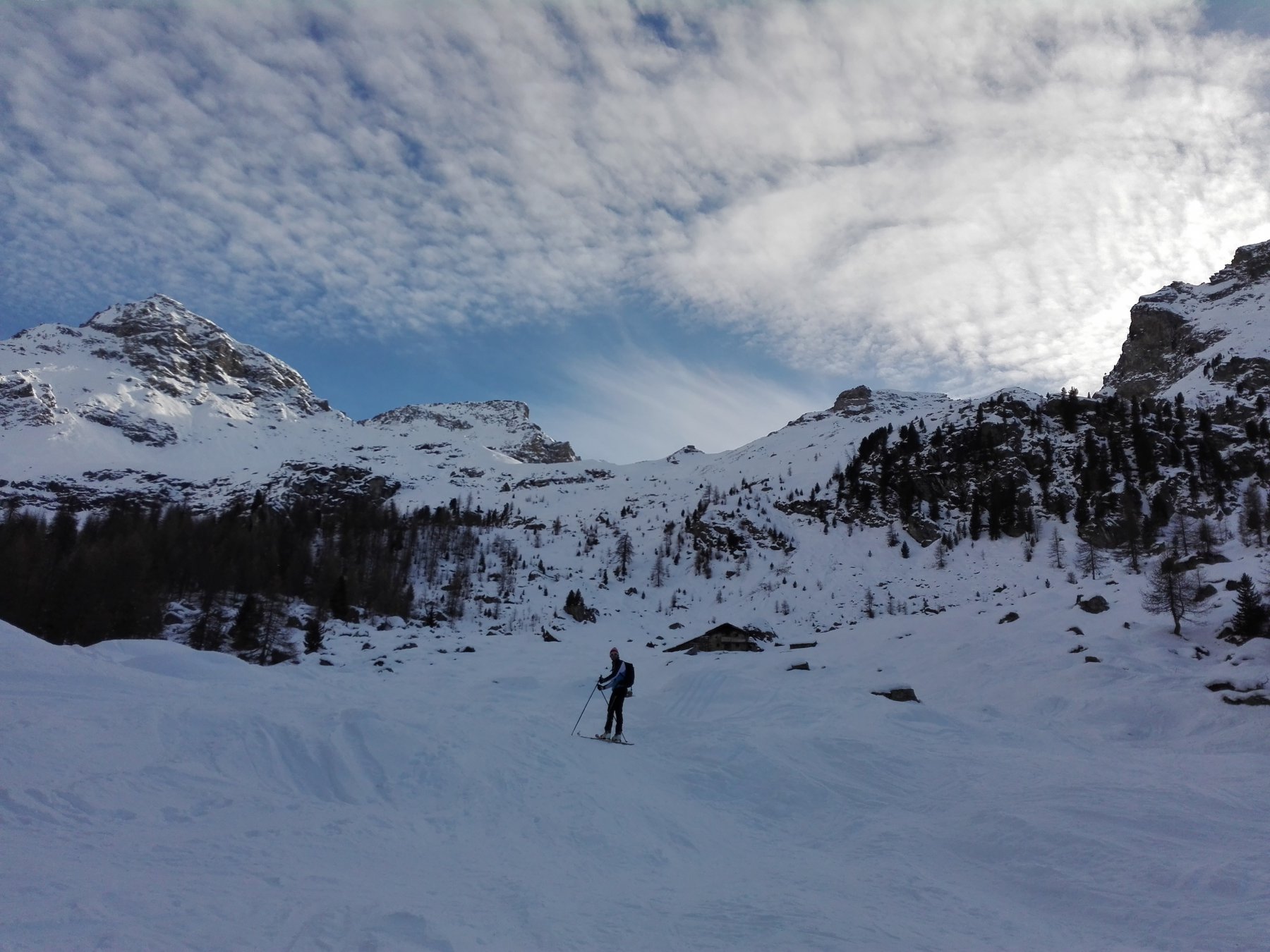
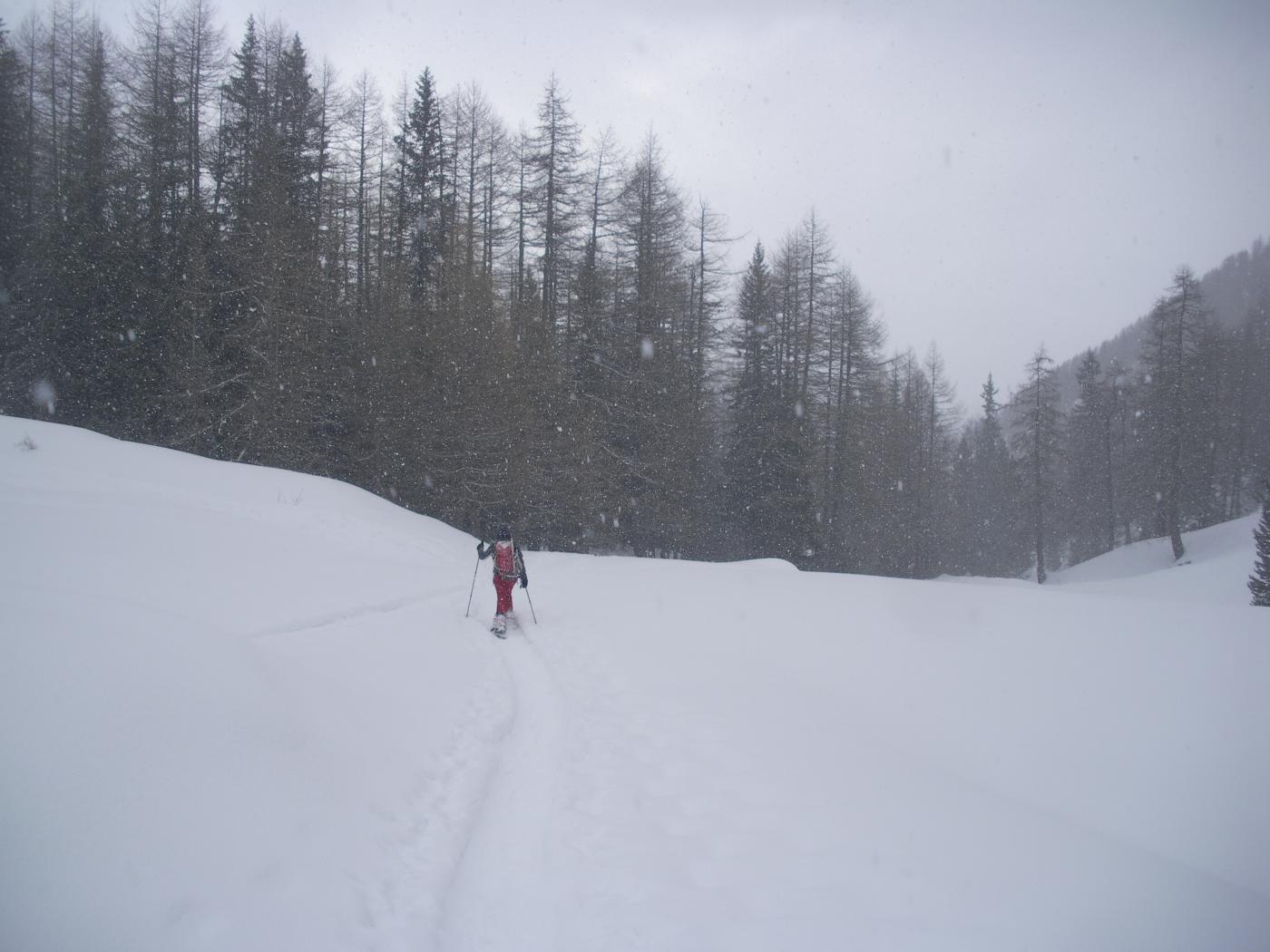
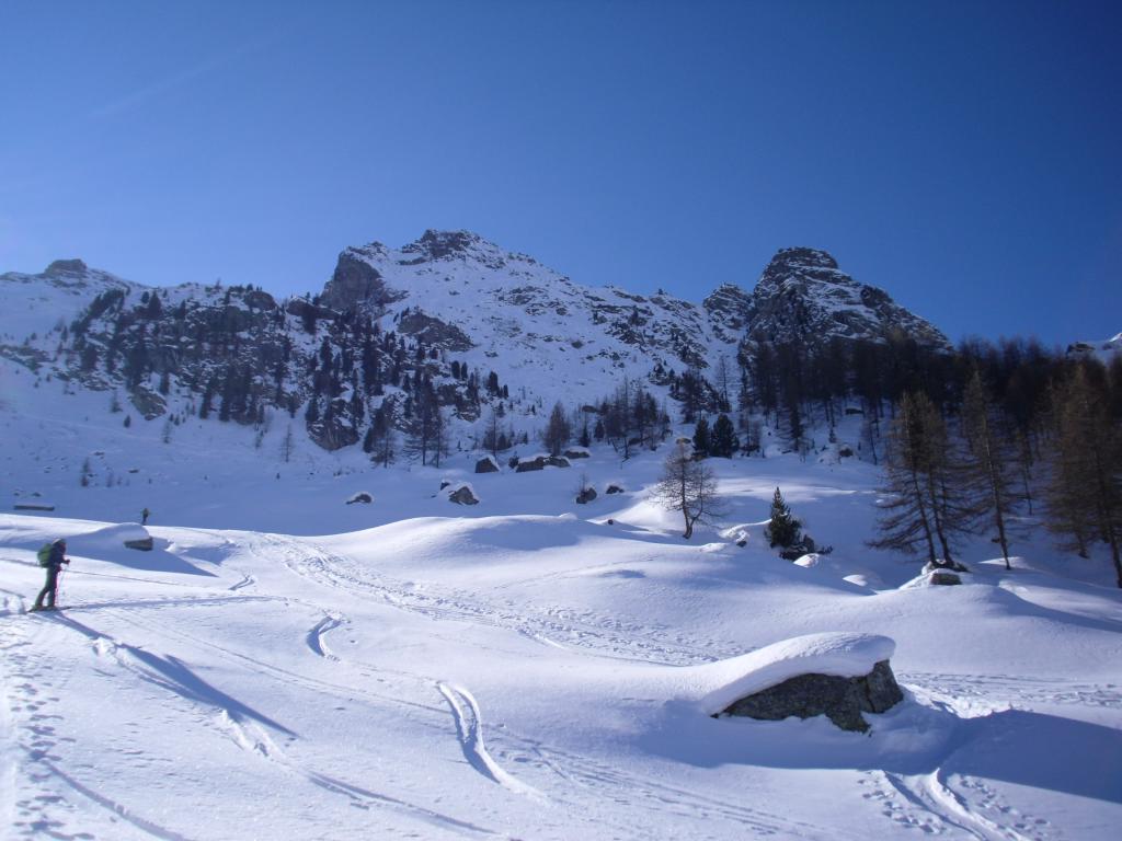
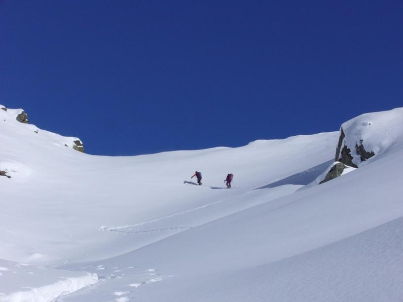
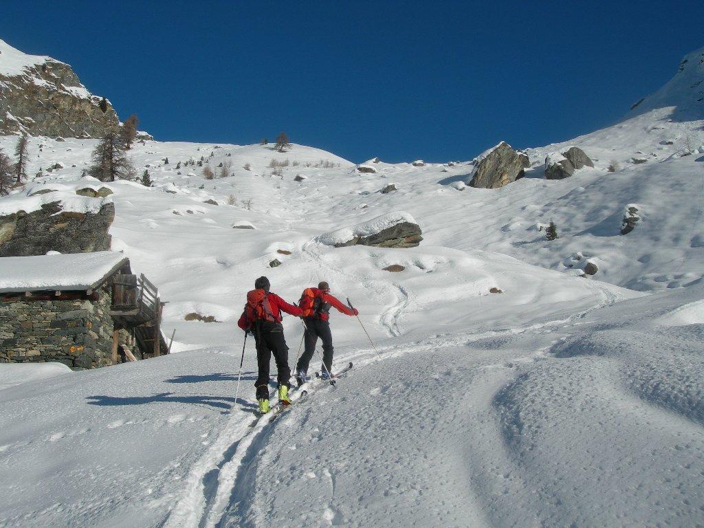
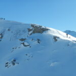
Salita nel vallone Mascognaz seguendo gli itinerari segnati 14/14a. All’alpe Chavannes o poco più avanti si piega a sinistra verso ovest lasciando il centro del vallone.
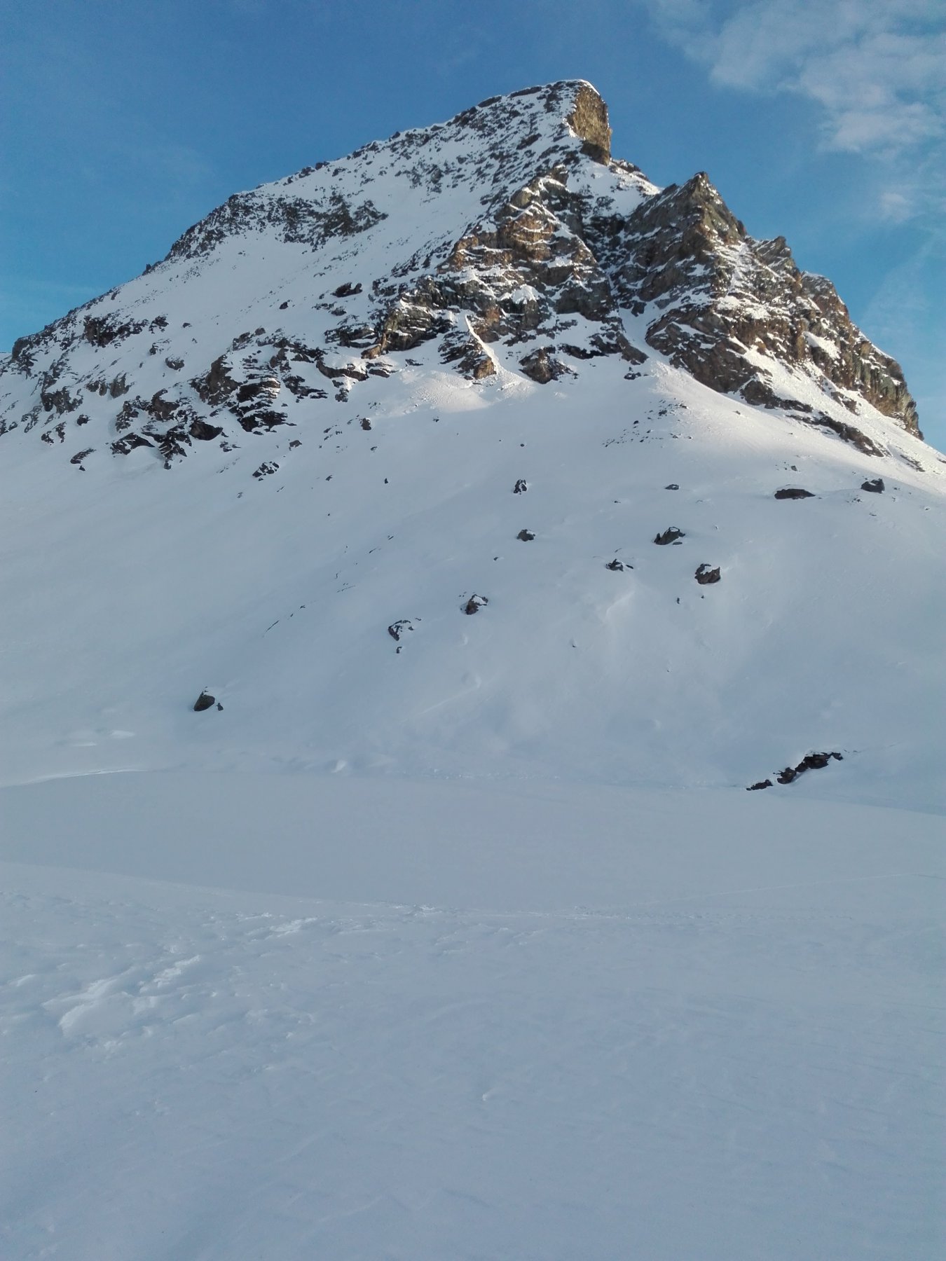
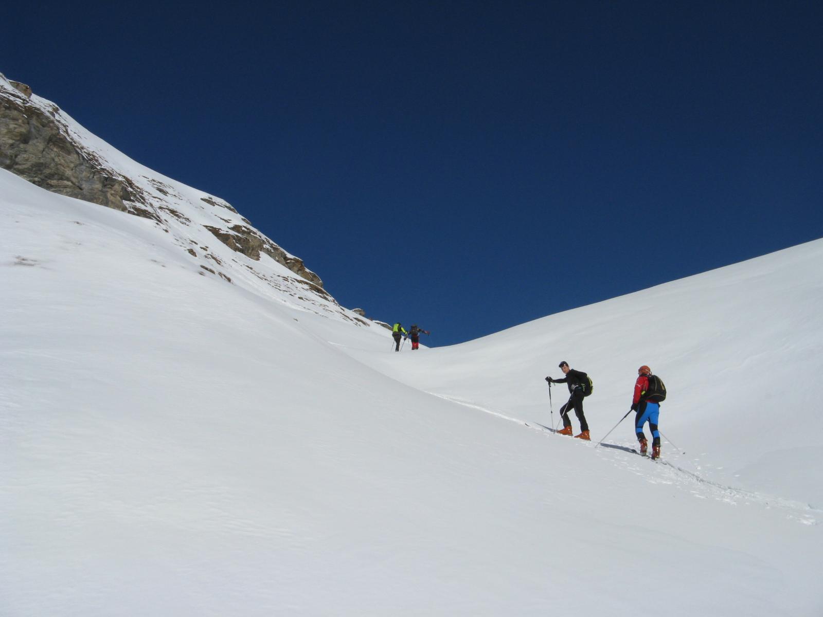
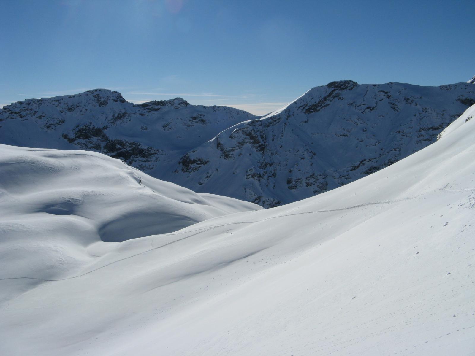
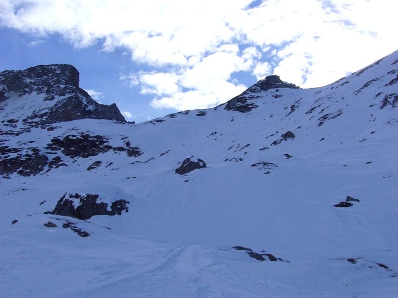
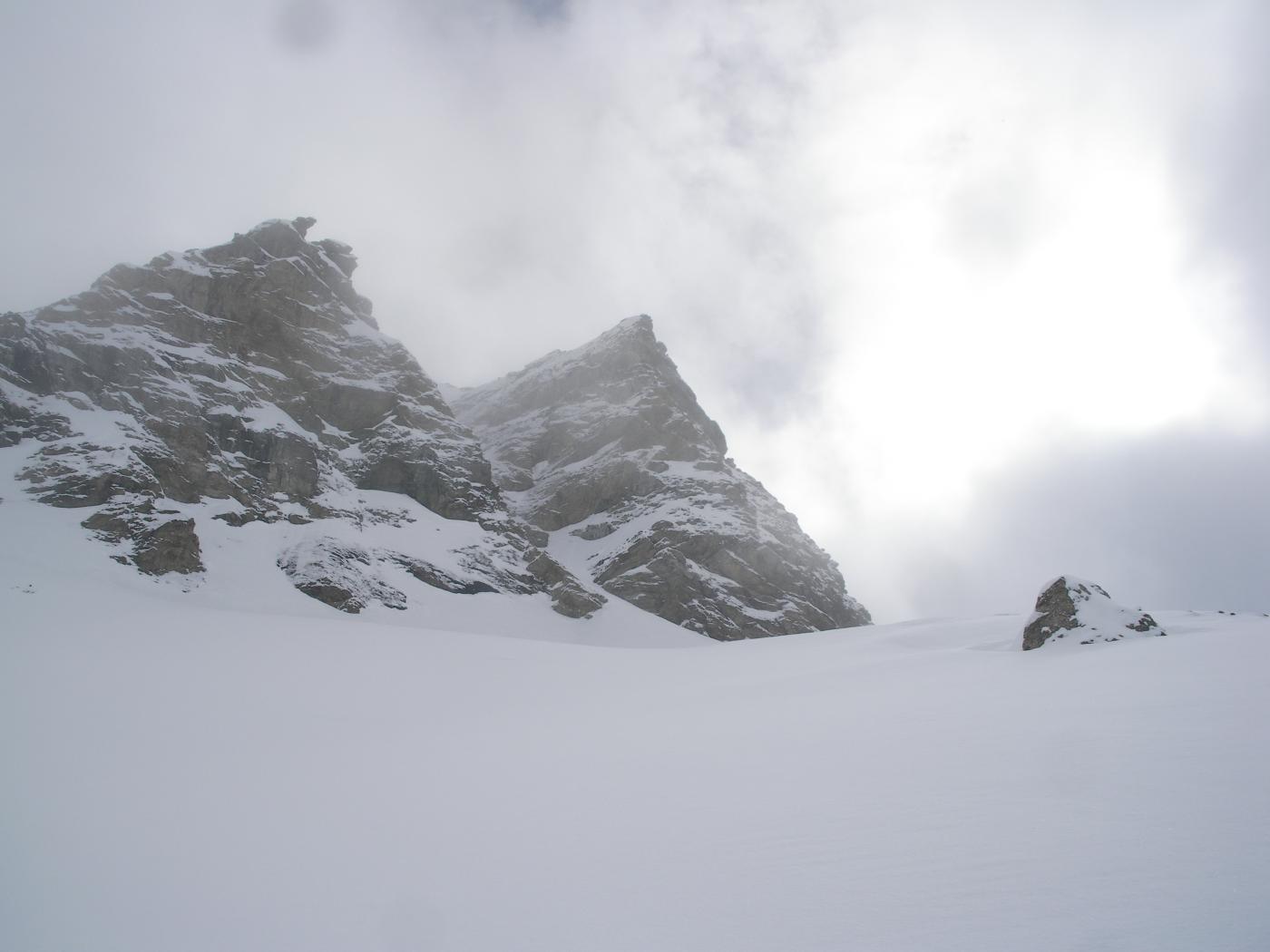
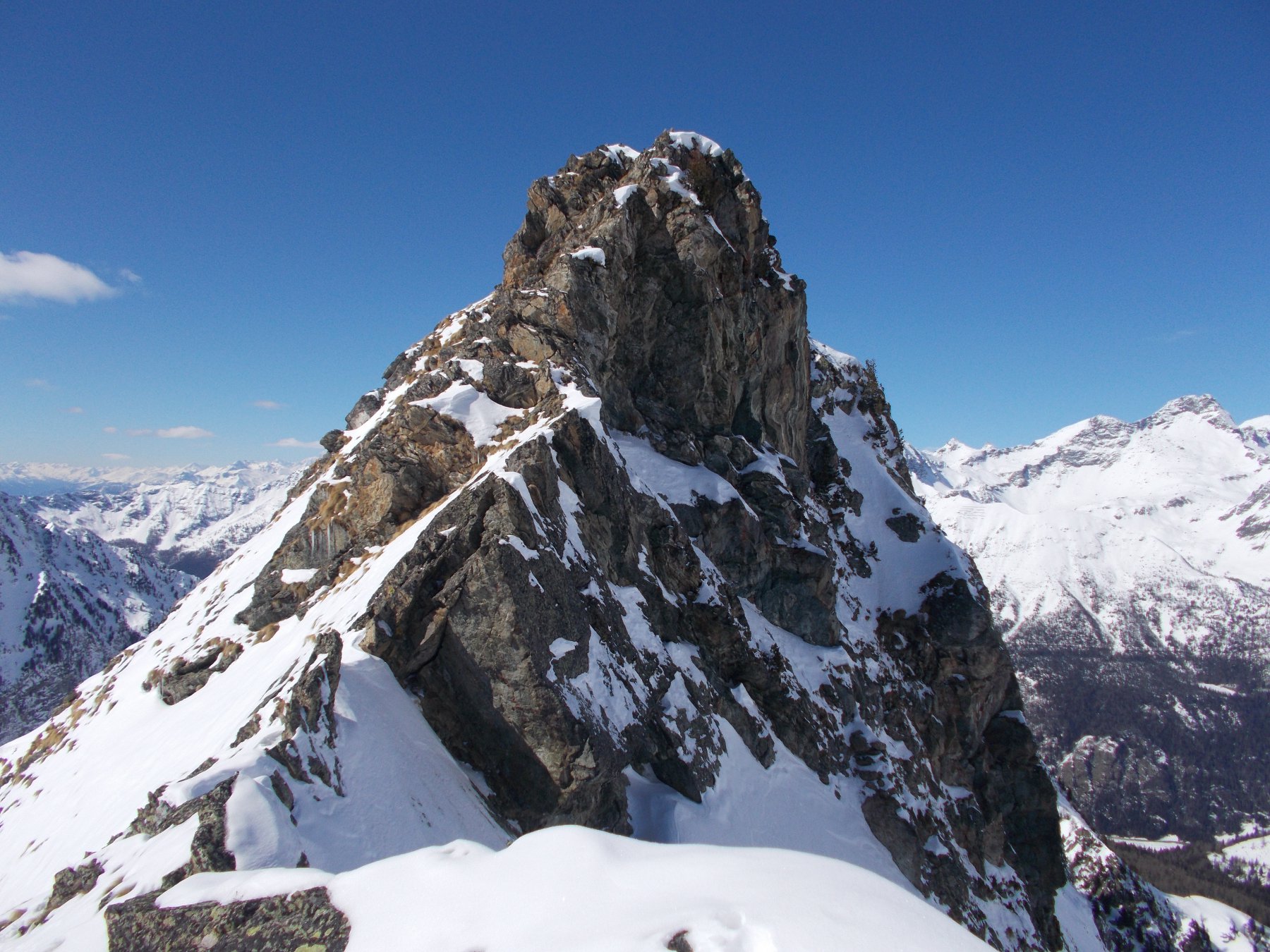
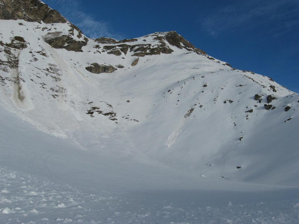
Nella parte alta si passa in uno stretto canalino un po’ ripido in cui può esserci neve verglassata. Dopodiché si scollina verso il lago ed il colle.
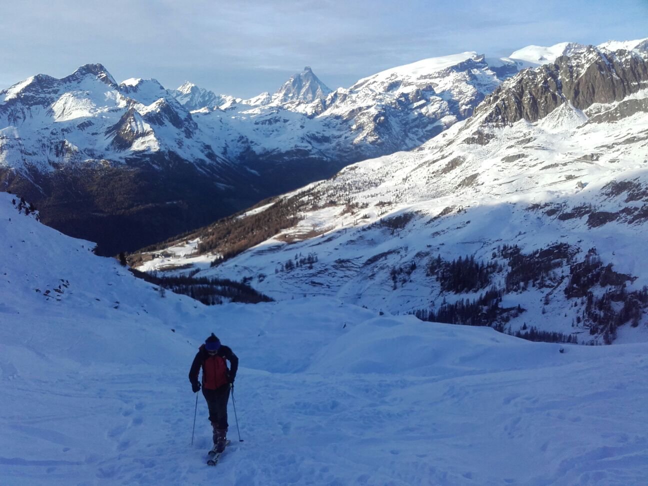
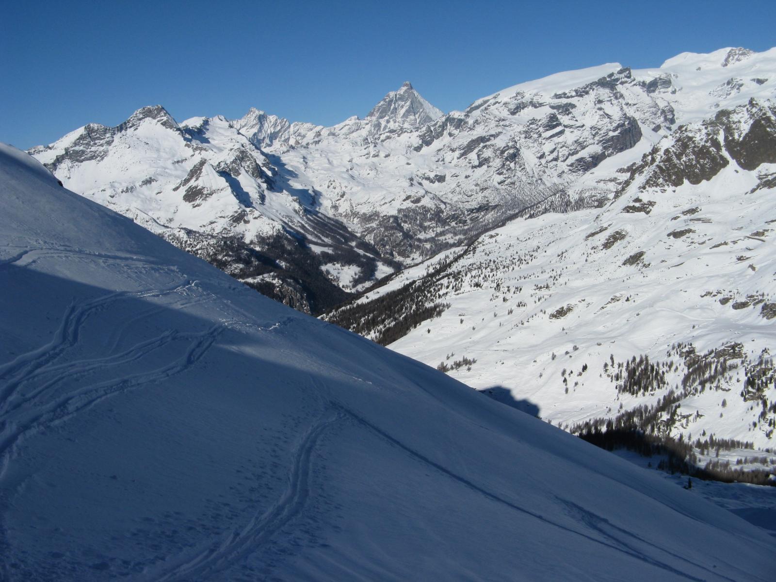
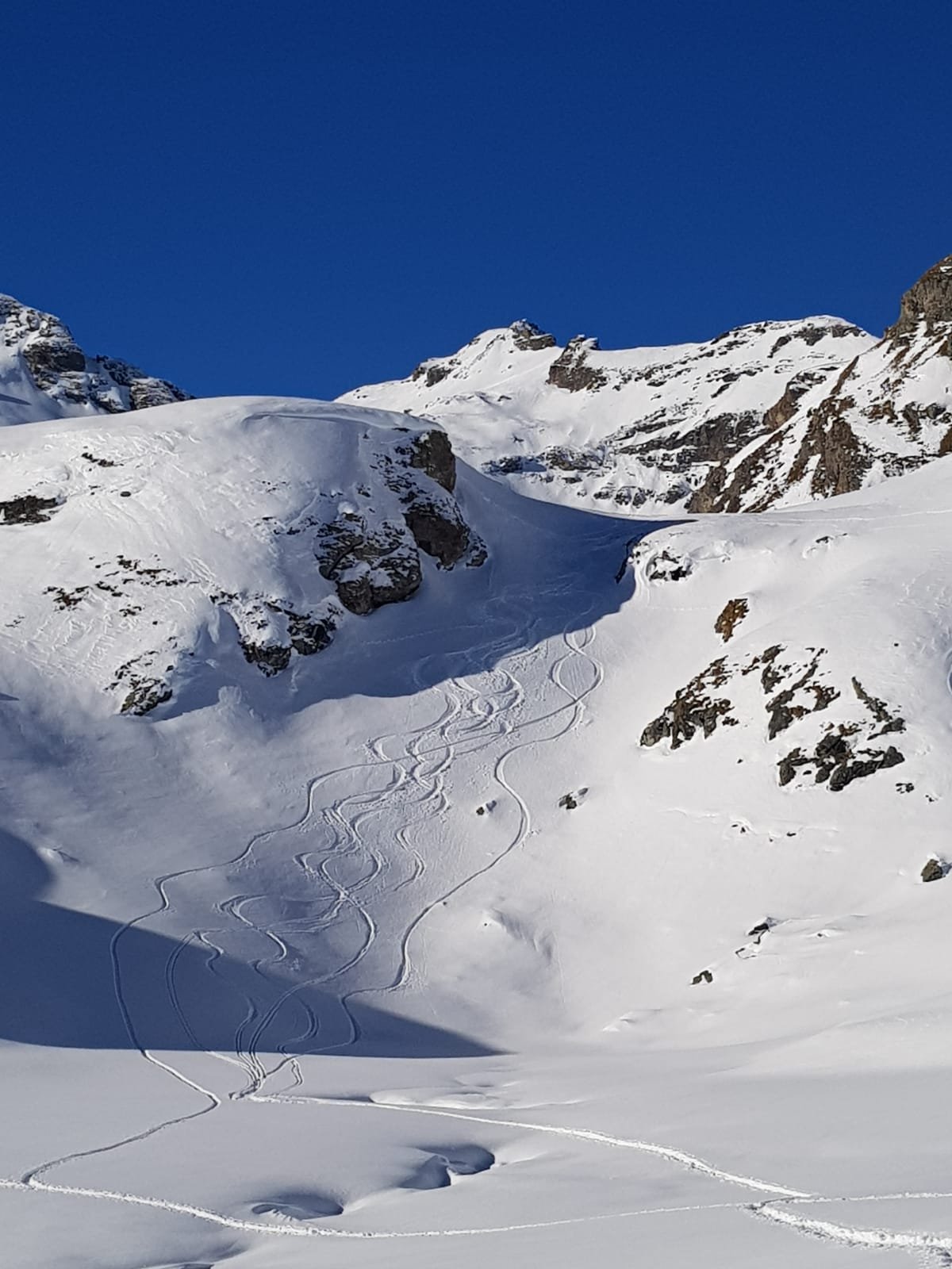
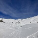
Discesa nel vallone di Cuneaz fino al torrente, da costeggiare anche nel bosco.
Il torrente si supera sotto Cuneaz nei pressi di una baita. Infine discesa lungo la pista di rientro di Champoluc (oppure usando la cabinovia se aperta.
Nelle vicinanze Mappa
Itinerari
20/01/2024 AO, Ayas D+ 1451 m BS Nord-Ovest
Gran Cima da Champoluc, anello valloni di Mascognaz e Cuneaz
 50m
50m
06/03/2016 AO, Ayas D+ 1012 m MS Sud-Ovest
Chateau (Monte), colle SE da Champoluc
 50m
50m
27/01/2024 AO, Ayas D+ 1231 m BSA Varie
Chateau (Monte), quota 2771 m da Champoluc, anello valloni Mascognaz e Cuneaz
 50m
50m
15/12/2018 AO, Ayas D+ 1250 m BS Tutte
Lago (Punta del) da Champluc per il Colle Palasina
 50m
50m
26/02/2021 AO, Ayas D+ 1463 m BSA Nord
Bussola (Corno) da Champoluc per il l vallone di Mascognaz
 50m
50m
10/02/2018 AO, Ayas D+ 1123 m BS Nord-Ovest
Palasina (Colle di) da Champoluc per il vallone di Mascognaz
50m
07/02/2019 AO, Ayas D+ 921 m MS Sud-Ovest
Nonna (Costa di) da Champoluc
 50m
50m
13/03/2026 AO, Ayas D+ 790 m MS Sud-Ovest
Facciabella (Monte) quota 2619 m da Mandriou
 1.5Km
1.5Km
01/01/2026 AO, Ayas D+ 759 m MS Sud
Vascoccia (Colle) da Mandriou
 1.5Km
1.5Km
13/03/2026 AO, Ayas D+ 1210 m BS Sud
Nana (Bec di) o Falconetta da Mandriou
 1.5Km
1.5Km
Servizi
2.6Km
3.2Km
Le Solitaire Ristorante
Ayas
3.9Km
Le petit monde Ristorante
Ayas
4.5Km
Grand Tournalin Rifugio
Ayas
4.6Km
Fior di roccia Bar
Ayas
4.7Km
Ferraro Rifugio
Ayas
7.2Km
Laghetto Albergo
Brusson
7.6Km
Le Coin des Melezes B&B
Brusson
9.1Km
A Barma Drola B&B
Brusson
9.4Km