300m
300m


Note
 50m
700m
950m
950m
950m
1.5Km
1.7Km
1.7Km
1.7Km
1.7Km
50m
700m
950m
950m
950m
1.5Km
1.7Km
1.7Km
1.7Km
1.7Km
300m
1.4Km
2.2Km
3.4Km
4.1Km
4.9Km
5.4Km
7.1Km
7.9Km
9.7Km
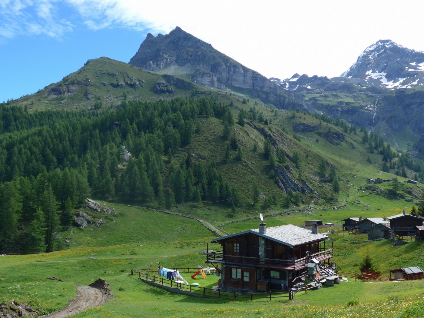
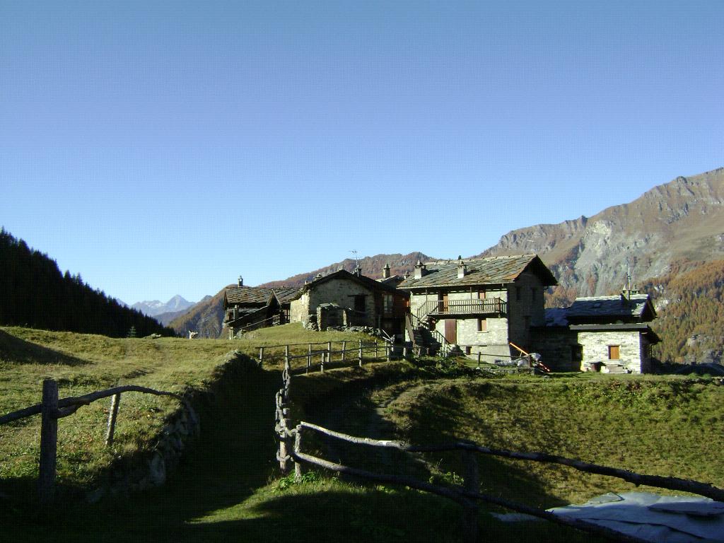
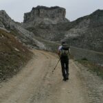
Spettacolare mulattiera che da Valtournenche porta al pianoro di Cheneil. In questo modo si evita di arrivare in auto a la barmaz.
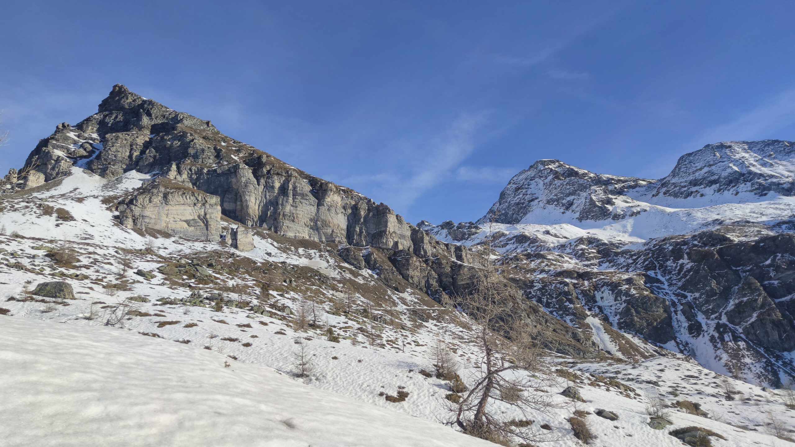
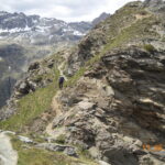
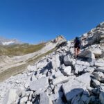
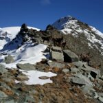
EE il tratto tra la q. 2130 e la punta.
Info 18/6/15, è praticamente finita la nuova strada Barmaz-Cheneil: addio Cheneil senza macchine!
Avvicinamento
EE il tratto tra la q. 2130 e la punta.
Info 18/6/15, è praticamente finita la nuova strada Barmaz-Cheneil: addio Cheneil senza macchine!
Da Valtournenche (m.1500) seguire le indicazioni per Cretaz e dopo poche decine di metri si può parcheggiare davanti l'ufficio postale.
Descrizione
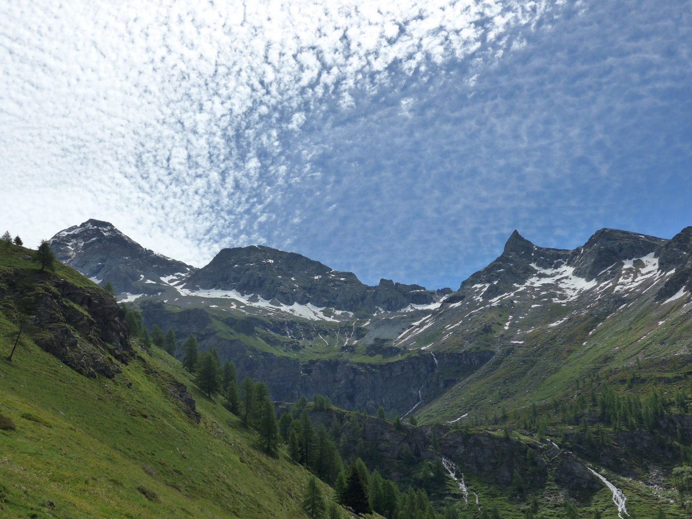
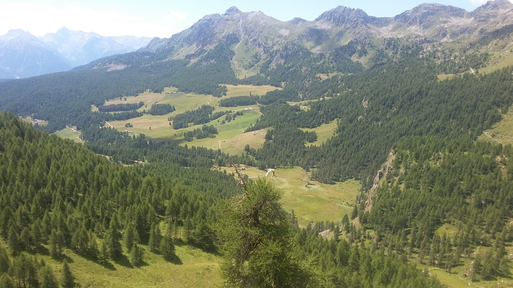
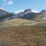
Da Cretaz (Valtournenche) seguire alta Via numero 1 che porta tra belle conche prative fino a Cheneil.
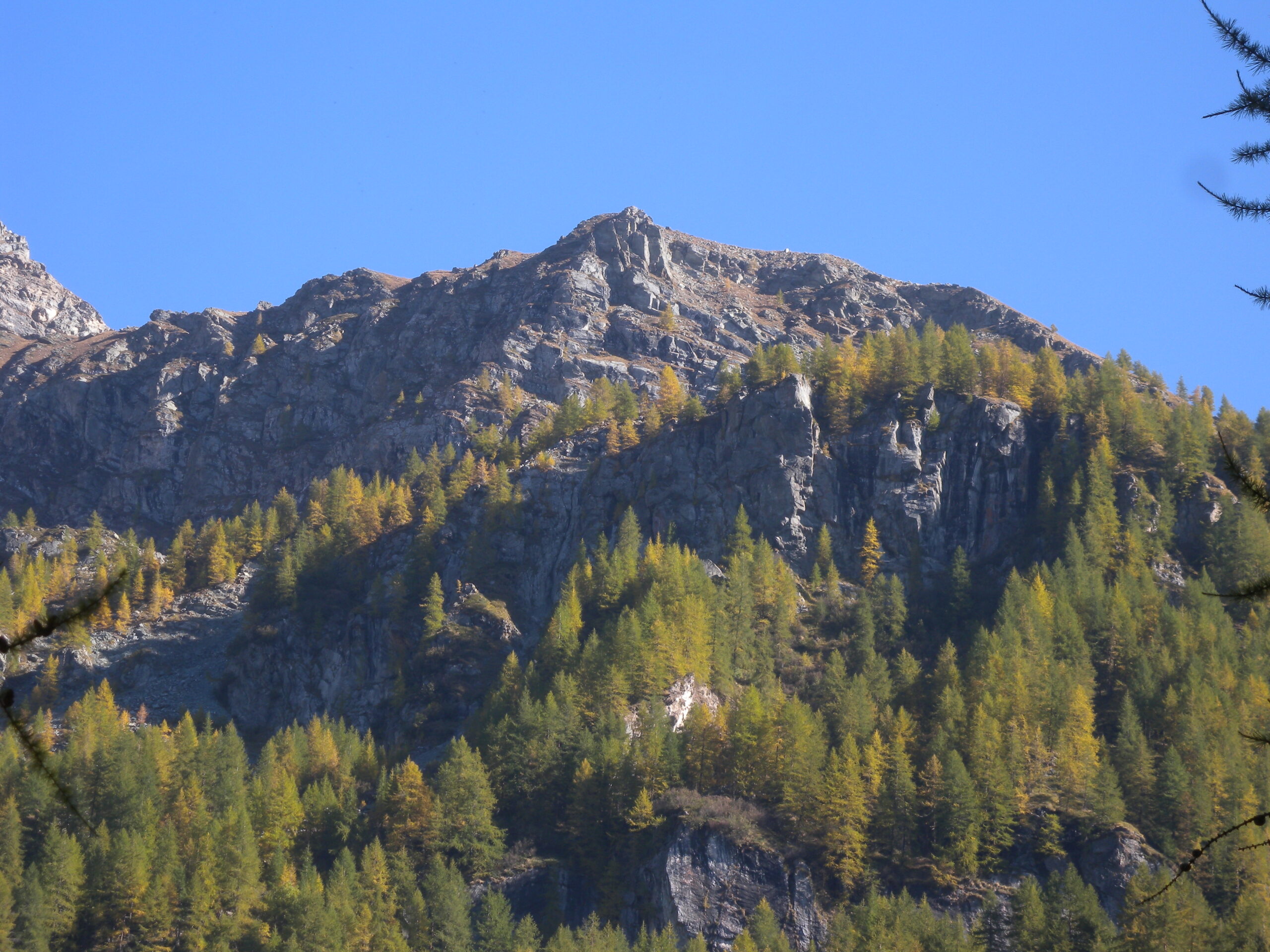
Seguire le indicazioni per la becca d’Aran (sent. 26) fino a q. 2130 circa, poi svoltare decisamente a sx (N), e per tracce di sentiero, passando per l’alpe Goilles (diroccata), si sale alla punta 2502m o alla q. 2485m più panoramica.
- Cartografia:
- l'Escursionista n°7 1/25.000, IGC Cervino e Monte Rosa
Ultima revisione 12/05/2025
Nelle vicinanze Mappa
Itinerari
12/05/2025 AO, Valtournenche D+ 700 m E Nord
Cheneil (Colle di) da Cretaz, anello per il Lago di Lod
 50m
50m
05/08/2017 AO, Valtournenche D+ 3404 m EE Varie
Giro dei Giganti Tappa 6: Valtournenche – Ollomont
 700m
700m
27/07/2017 AO, Valtournenche EE/F Varie
Rivolta, Tzan, Reboulaz (Bivacchi) da Valmartin, anello per Col du Fort e Fenetre de Tzan (2 gg)
 950m
950m
11/08/2024 AO, Valtournenche D+ 1550 m E Varie
Tsan o Cian (Finestra di) da Valmartin
 950m
950m
24/06/2025 AO, Valtournenche D+ 700 m E Varie
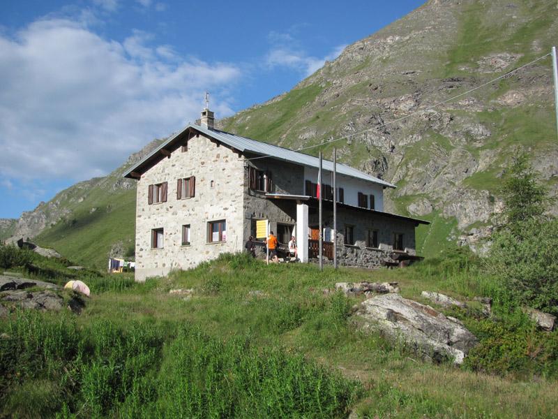
Barmasse (Rifugio) da Valmartin
 950m
950m
17/06/2026 AO, Valtournenche D+ 1100 m EE Varie
Pancherot (Monte) da Crepin, anello per la Finestra di Cignana
 1.5Km
1.5Km
06/08/2025 AO, Valtournenche D+ 1247 m EEA Ovest
Carré (Bec) dalla strada per Cheneil
 1.7Km
1.7Km
23/08/2023 AO, Valtournenche D+ 1050 m EE Ovest
Roisetta (Colle) dalla strada per Cheneil
 1.7Km
1.7Km
15/08/2025 AO, Valtournenche D+ 939 m EE Sud-Est
Gran Collet dalla strada per Cheneil
 1.7Km
1.7Km
01/11/2024 AO, Valtournenche D+ 1130 m EE Sud-Ovest
Motte di Pletè occidentale dalla strada per Cheneil
 1.7Km
1.7Km
Servizi
300m
1.4Km
Pankeò B&B
Valtournenche
2.2Km
Panorama al Bich Ristorante
Valtournenche
3.4Km
da Bruna Ristorante
Chamois
4.1Km
Bellevue Rifugio
Chamois
4.9Km
Maison de Suis B&B
Chamois
5.4Km
Pession Ristorante
Antey-Saint-André
7.1Km
Lo scoiattolo Ristorante
La Magdeleine
7.9Km
Grand Tournalin Rifugio
Ayas
9.7Km