7.7Km
7.7Km

Note
 150m
150m
150m
200m
300m
550m
800m
1.5Km
1.6Km
150m
150m
150m
200m
300m
550m
800m
1.5Km
1.6Km
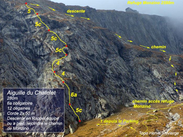
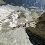
La via parte sulle placche a sinistra della ferrata che porta al monzino, su roccia prettamente appoggiata, mai difficile e ben chiodata, sono 7 tiri ed è meglio scendere dalla ferrata oppure salire in 30 minuti al monzino per mangiare e riposare.
Avvicinamento
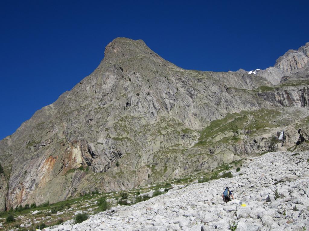
Si raggiunge dopo aver percorso il primo tratto di sentiero attrezzato che porta al rifugio Monzino. Giunti sul grande pendio erboso individuare un piccolo alberello e di qui puntare alla parete (segno giallo e ometto). I segni gialli portano all'attacco di Velociraptor, costeggiando la parete in salita per un centinaio di metri si raggiunge l'attacco di Idrotechnic.
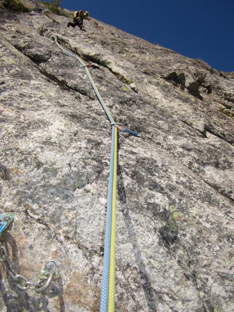
l'attacco è riconoscibile da un cordone viola che pende dal primo spit
Descrizione
l'attacco è riconoscibile da un cordone viola che pende dal primo spit
- L1: 5c
- L2: 6a
- L1: 4
- L2: 4
- L1: 5c
- L2: 5c
- L1: 5c
- L2: 5a
Discesa in doppia un po’ complessa meglio a piedi dalla sosta dell’ultimo tiro scendere obliquando verso destra(faccia a monte) fino a raggiungere facilmente il sentiero del Monzino (bolli gialli poco evidenti)
Nelle vicinanze Mappa
Itinerari
10/08/2012 AO, Courmayeur 6b, 5b obbl. Sud-Ovest
Freney (Placconata del) Né miti, né leggende
 150m
150m
20/07/2026 AO, Courmayeur 5c, 5a obbl. Sud-Est
Chatelet (Aiguille de) – Velociraptor
 150m
150m
03/07/2016 AO, Courmayeur 6b, 4 obbl., a0 Sud
Freney (Placconata del) Cheraz-Sicuri
 150m
150m
29/08/2015 AO, Courmayeur 6a+, 5b obbl. Sud-Ovest
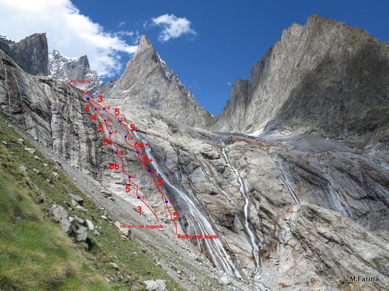
Freney (Placconata del) Pochi ma Buoni
 200m
200m
25/05/2026 AO, Courmayeur 6a+, 6a obbl. Sud-Est
Chatelet (Aiguille du) – Fast & Furious
 300m
300m
11/07/2026 AO, Courmayeur 6a+, 5c obbl. Sud-Est
Monzino Franco (Rifugio) – Voie du Gardien
 550m
550m
22/08/2022 AO, Courmayeur 7a, 6c obbl. Sud-Est
Croux (Aiguille) – La Descente aux Envers
 800m
800m
18/06/2025 AO, Courmayeur 6a+, 6a+ obbl. Sud-Est
Chasseurs (Tete des) – The last belay
1.5Km
15/08/2013 AO, Courmayeur 6c, 6b+ obbl. Sud-Est
Croux (Aiguille) – Souvenir d’Italie
 1.5Km
1.5Km
12/07/2026 AO, Courmayeur 6a, 5c obbl. Sud-Est
Croux (Aiguille) – Via Ottoz – Hurzeler + variante delle Guide
 1.6Km
1.6Km