8.3Km
8.3Km
Avvicinamento
 50m
5.7Km
7.3Km
7.3Km
7.3Km
7.3Km
7.3Km
7.3Km
7.5Km
8.1Km
50m
5.7Km
7.3Km
7.3Km
7.3Km
7.3Km
7.3Km
7.3Km
7.5Km
8.1Km
8.3Km
Da jausiers seguire la strada per il Col de la Bonette sulla quale si trovano subito l'indicazione per il Lac des Sagnes. La strada è sterrata per oltre 10 chilometri e occore fare attenzione a pietre affioranti e buche.
Descrizione
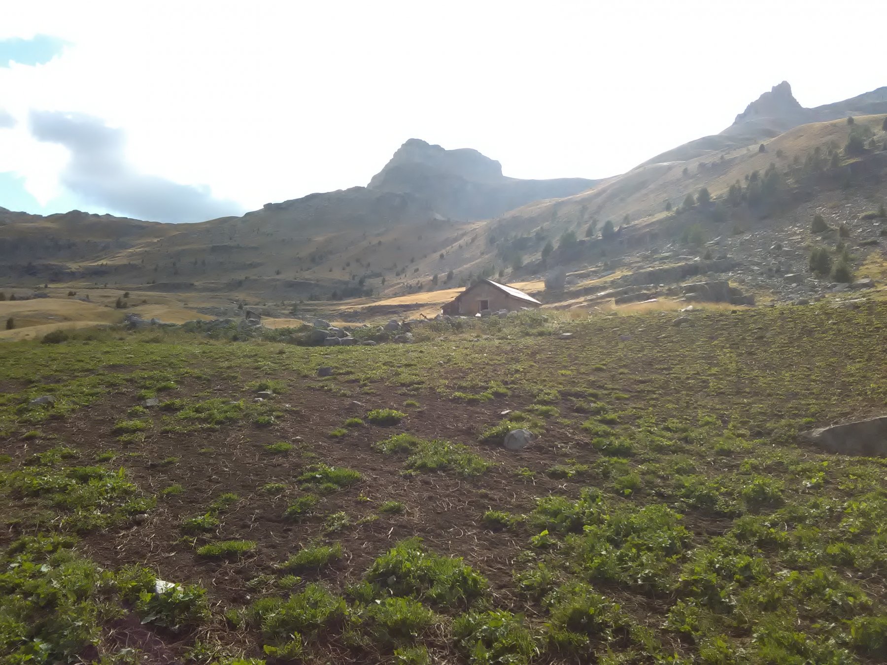
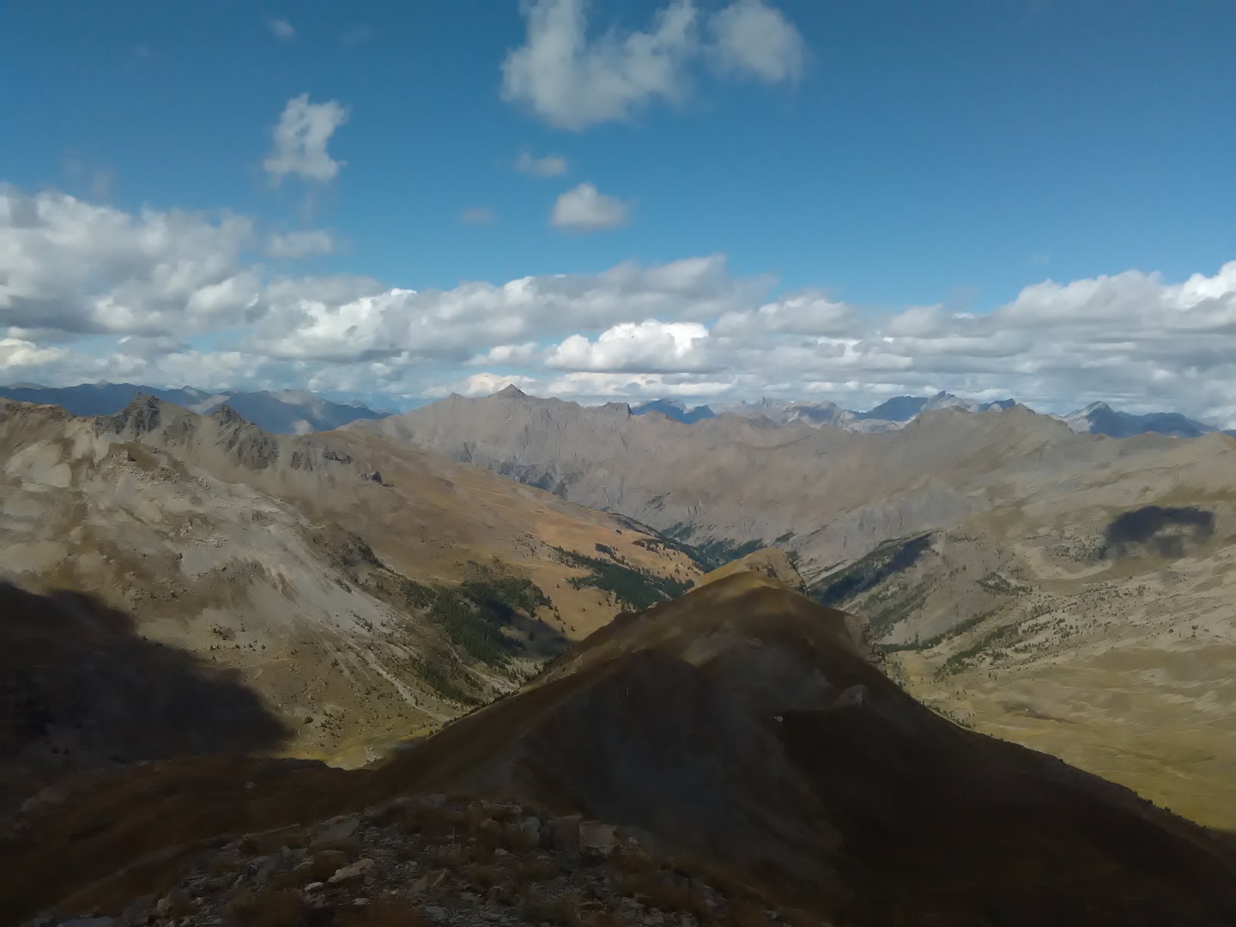
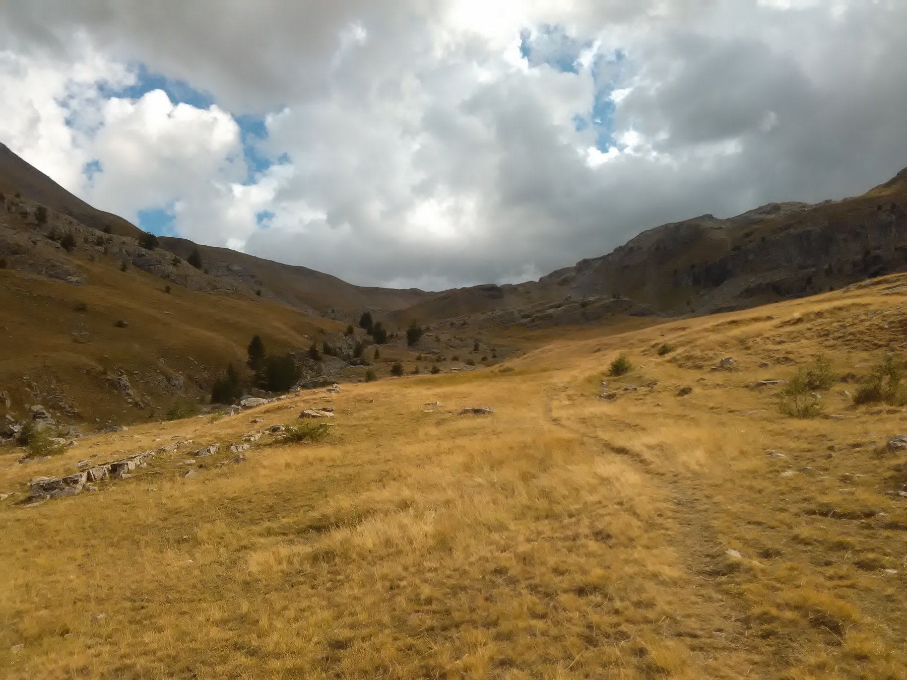
Seguire la pista sulla sinistra orografica del lago che presto diviene un sentiero marcato e ben segnato. Si supera un alpeggio e si prosegue tra vasti prati nel territorio del Parco del Mercantour raggiungendo lo spartiacque sul Col de Raspallion dal quale si risale il pendio di erba e detriti senza percorso obbligato fino in cima.
Nelle vicinanze Mappa
Itinerari
06/09/2020 Alpes-de-Haute-Provence, Jausiers D+ 857 m E Nord
Pelousette (Tete) dal Lac des Sagnes
 50m
50m
29/08/2021 Alpes-de-Haute-Provence, Jausiers D+ 1000 m EE/F Varie
Chevalier (le) da Ravin du Pis per il Lac de Terres Pleines
 5.7Km
5.7Km
12/08/2023 Alpes-de-Haute-Provence, Val-d'Oronaye D+ 1486 m EE Nord
Sautron (Monte) da Larche
 7.3Km
7.3Km
17/10/2015 Alpes-de-Haute-Provence, Val-d'Oronaye D+ 1140 m EE/F Varie
Aigle (Bec de l’) da Larche per il Vallon de Font Crèse, anello
 7.3Km
7.3Km
21/06/2020 Alpes-de-Haute-Provence, Val-d'Oronaye D+ 1169 m EE Ovest
Viraysse (Monte) o Cime de la Coste du Col da Larche, anello per il Colle Sautron, la cresta NO e il Lac de la Reculaye
 7.3Km
7.3Km
29/05/2022 Alpes-de-Haute-Provence, Val-d'Oronaye D+ 1124 m E Nord-Est
Plate Longe (Tete de) da Larche
 7.3Km
7.3Km
16/09/2017 Alpes-de-Haute-Provence, Val-d'Oronaye D+ 1300 m E Tutte
Viraysse (Tete de) da Larche, giro della Meyna per il Col de Portiolette
 7.3Km
7.3Km
04/09/2025 Alpes-de-Haute-Provence, Val-d'Oronaye D+ 1092 m E Sud
Viraysse (Tete de) da Larche per il Colle di Mallemort
 7.3Km
7.3Km
13/06/2015 Alpes-de-Haute-Provence, Jausiers D+ 700 m EE Varie
Chevalier (le) – Ventebrun dal Lac des Eissaupres, anello per il Vallon du Chevalier e il Pas de Toureis
 7.5Km
7.5Km
30/06/2013 Alpes-de-Haute-Provence, Val-d'Oronaye D+ 675 m EE Nord
Cavale (Pas de la) da le Pontet
 8.1Km
8.1Km
Servizi
8.3Km