5.2Km
5.2Km


Avvicinamento
 50m
50m
50m
50m
50m
5.4Km
5.4Km
5.8Km
5.8Km
5.8Km
50m
50m
50m
50m
50m
5.4Km
5.4Km
5.8Km
5.8Km
5.8Km
.
Descrizione
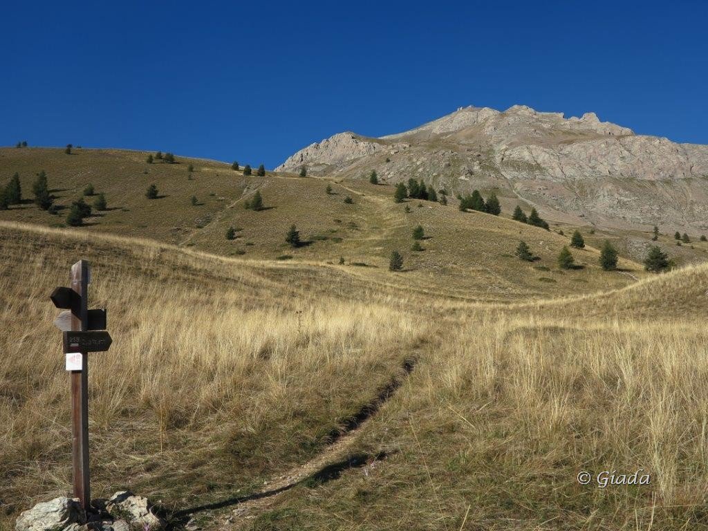
Dall’abitato di Larche(indicazioni sulla strada che attraversa il paese),prendere a destra il breve tratto di sterrata che porta
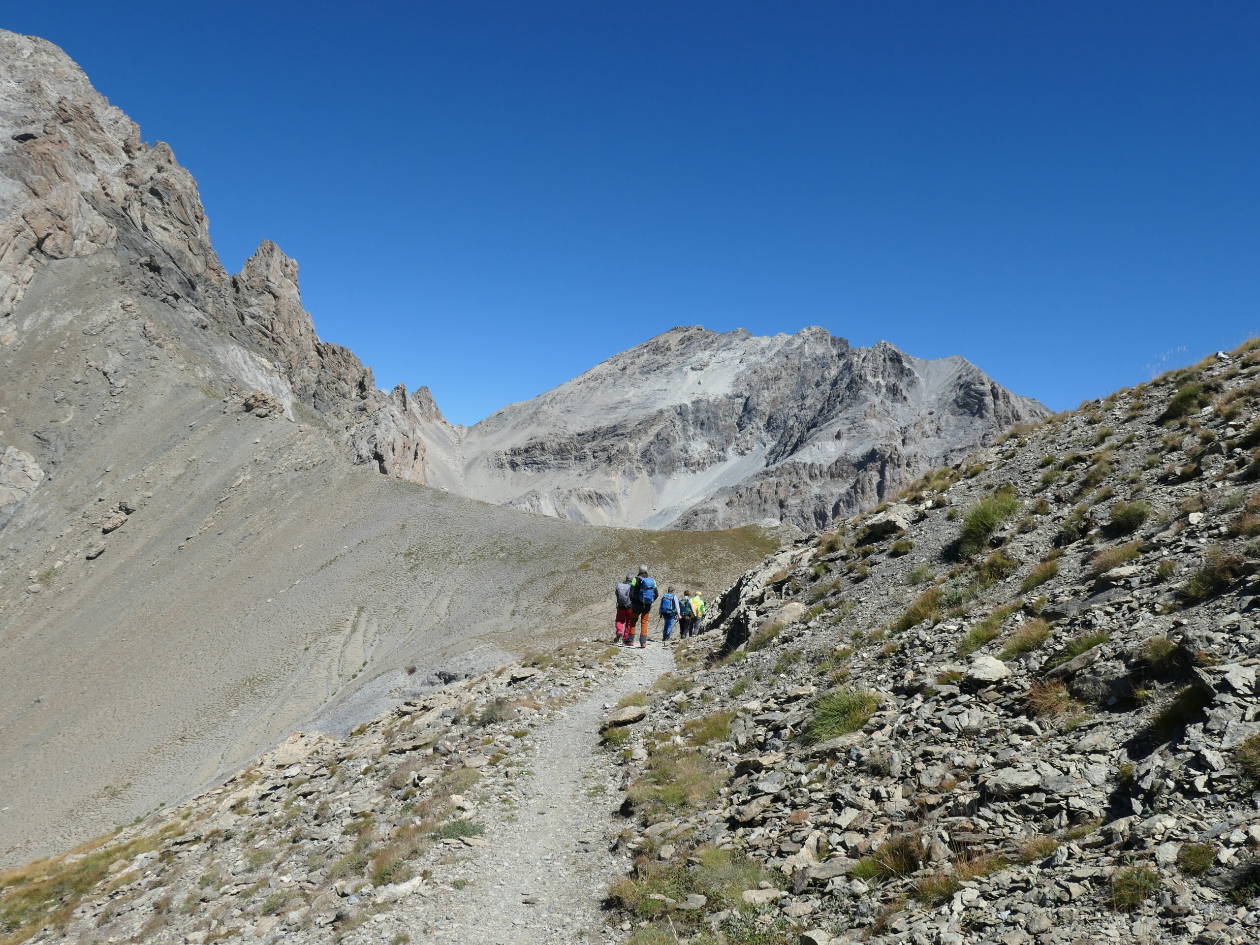
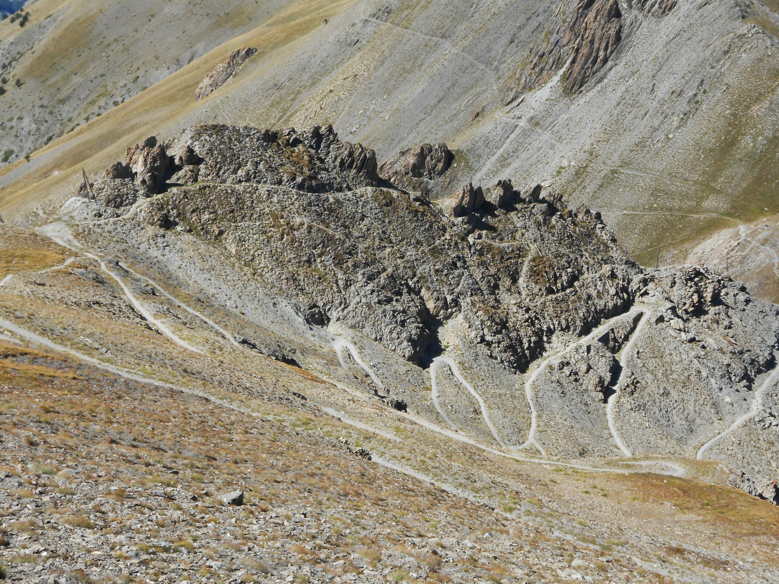
all’inizio del sentiero GR 5-56 per il Col de Mallemort(2558) e percorrere interamente il sentiero fino al colle.
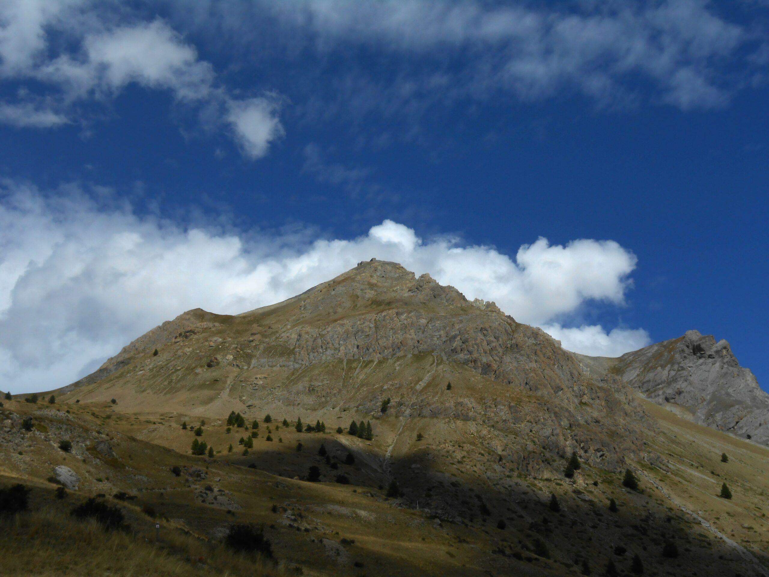
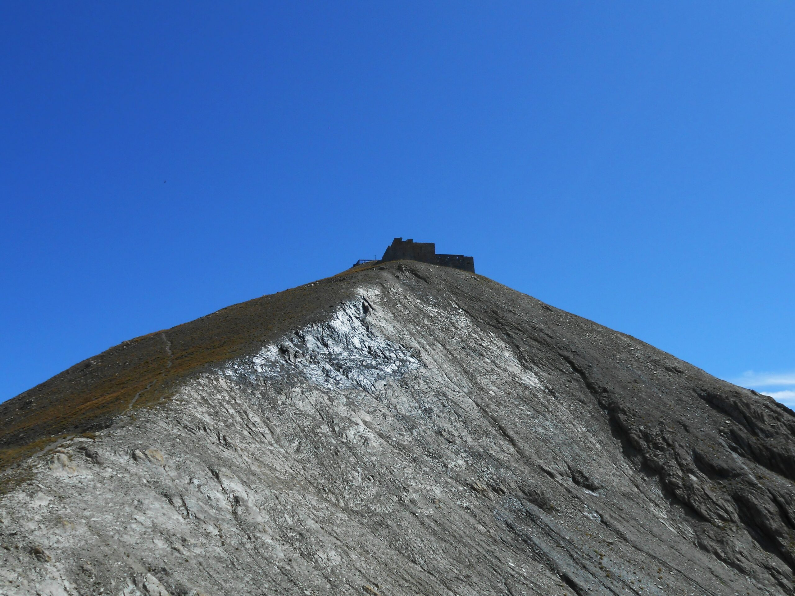
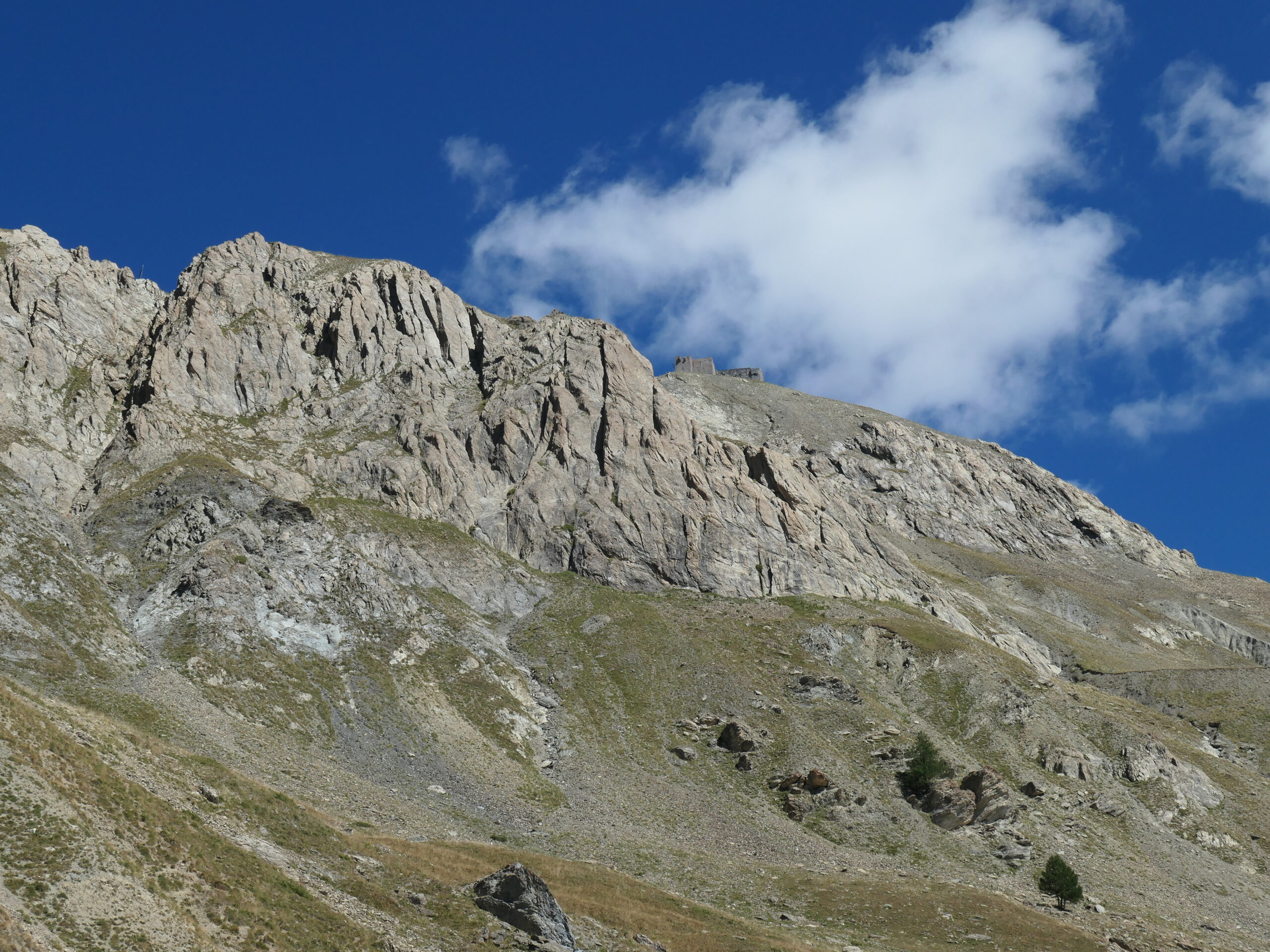
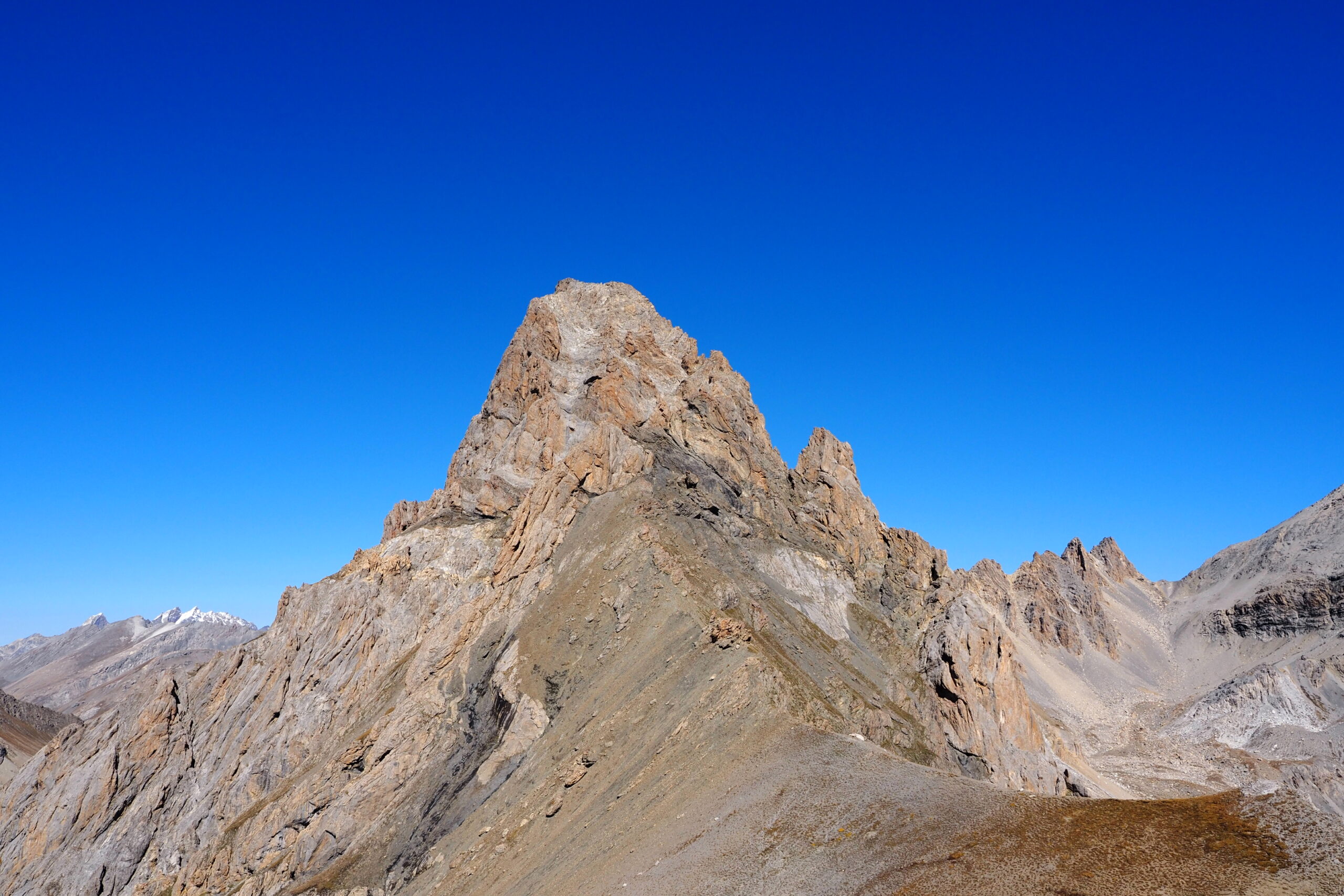
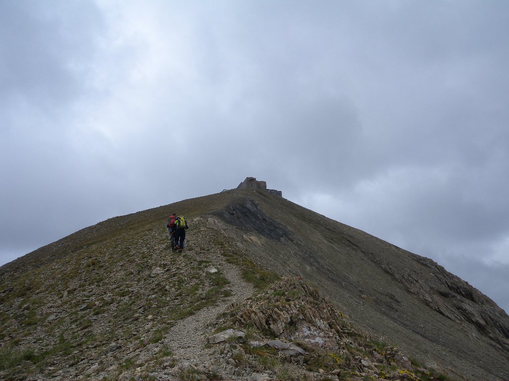
Qui arrivati,proseguire verso la Tete de Viraysse(2772),sulla quale c’e’ la Batterie de la Viraysse,sull’evidente mulattiera.
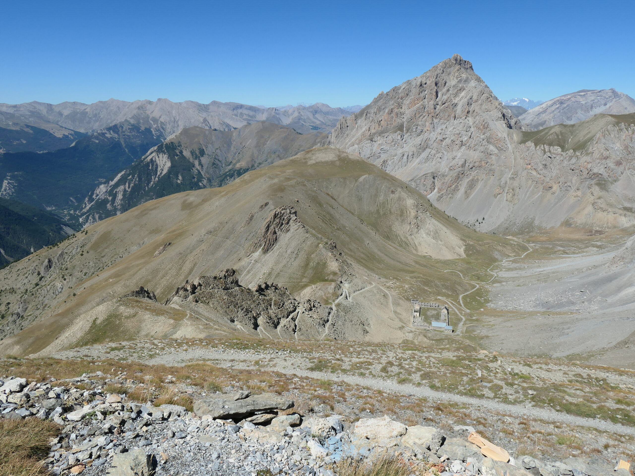
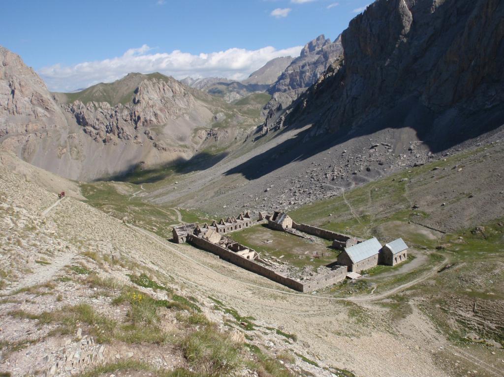
Il colle si affaccia sulla parte finale del Vallon du Pinet e sulla caserma abbandonata,ed e’ anche raggiungibile da St. Ours su sterrata(vedi percorsi con mountain bike).
- Cartografia:
- Mappa IGC N.7 Valli Maira,Grana,Stura.
Nelle vicinanze Mappa
Itinerari
16/09/2017 Alpes-de-Haute-Provence, Val-d'Oronaye D+ 1300 m E Tutte
Viraysse (Tete de) da Larche, giro della Meyna per il Col de Portiolette
 50m
50m
29/05/2022 Alpes-de-Haute-Provence, Val-d'Oronaye D+ 1124 m E Nord-Est
Plate Longe (Tete de) da Larche
 50m
50m
17/10/2015 Alpes-de-Haute-Provence, Val-d'Oronaye D+ 1140 m EE/F Varie
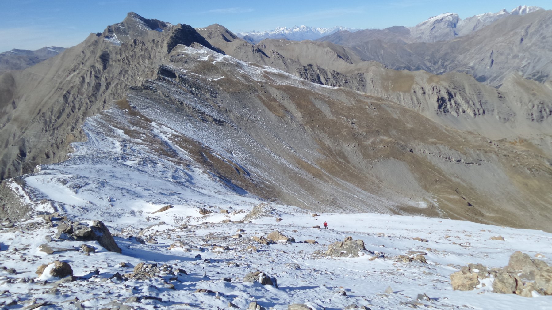
Aigle (Bec de l’) da Larche per il Vallon de Font Crèse, anello
 50m
50m
21/06/2020 Alpes-de-Haute-Provence, Val-d'Oronaye D+ 1169 m EE Ovest
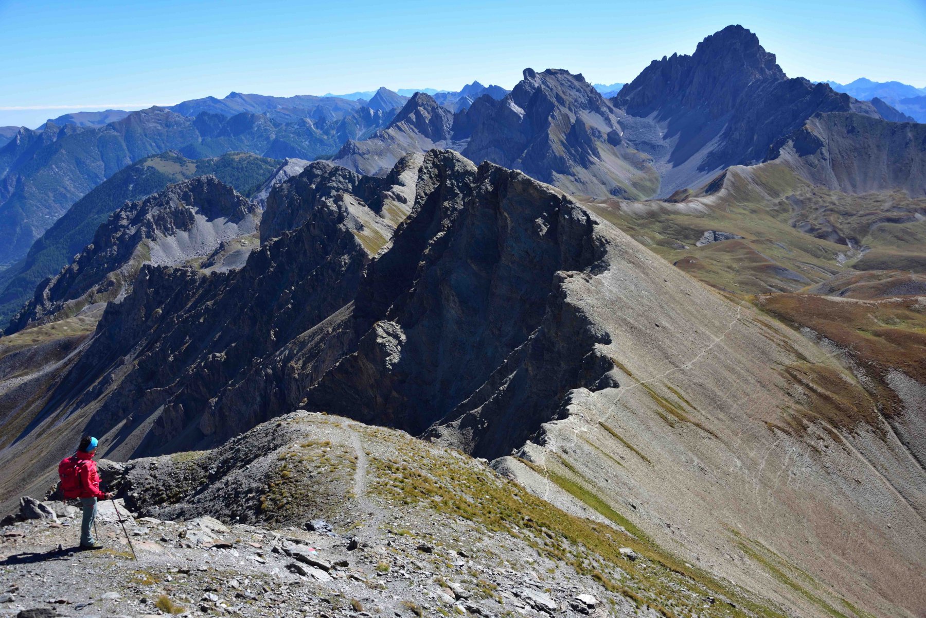
Viraysse (Monte) o Cime de la Coste du Col da Larche, anello per il Colle Sautron, la cresta NO e il Lac de la Reculaye
 50m
50m
12/08/2023 Alpes-de-Haute-Provence, Val-d'Oronaye D+ 1486 m EE Nord
Sautron (Monte) da Larche
 50m
50m
18/07/2009 Alpes-de-Haute-Provence, Val-d'Oronaye D+ 1400 m EE Tutte
Sautron (Monte) da Saint Ours, traversata a Larche
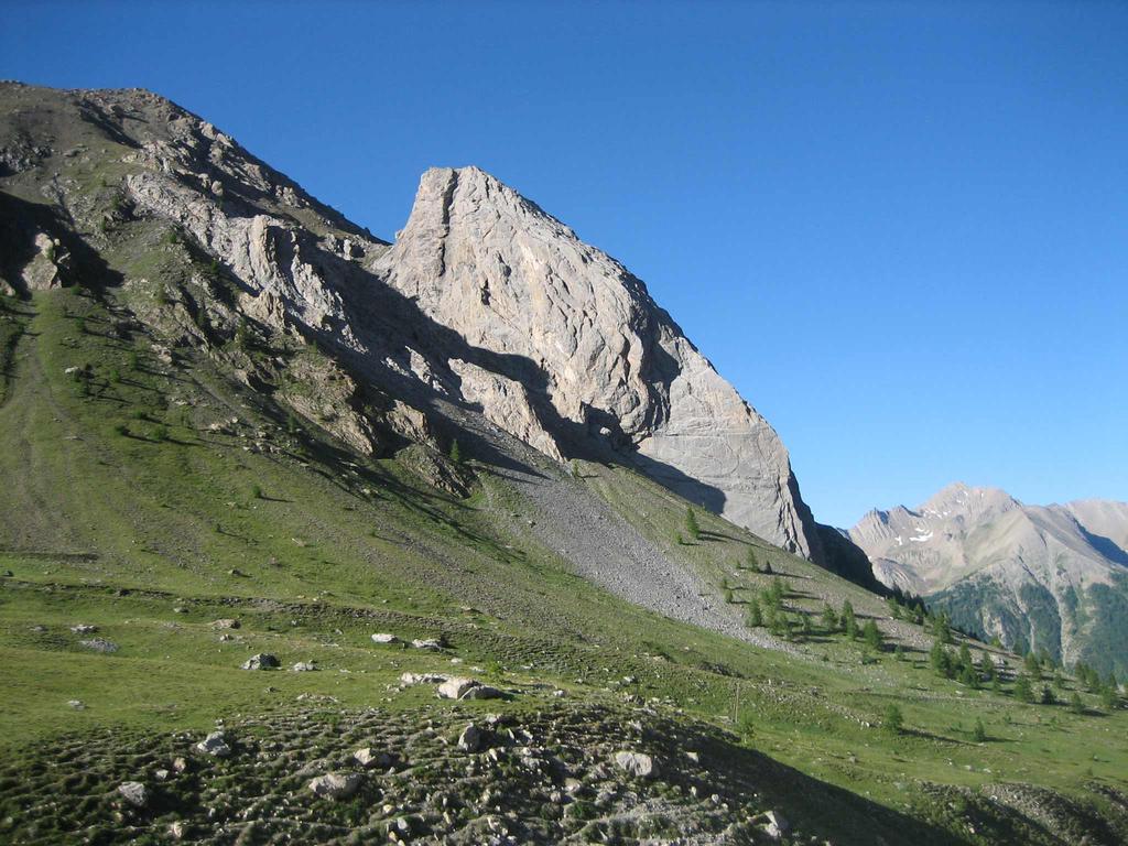 5.4Km
5.4Km
14/08/2023 Alpes-de-Haute-Provence, Val-d'Oronaye D+ 1313 m EE/F Sud-Ovest
Courbe (Tète de la) da Saint Ours per il Col de Mirandol
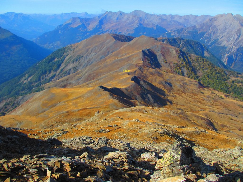 5.4Km
5.4Km
16/07/2023 Alpes-de-Haute-Provence, Val-d'Oronaye D+ 1015 m EE Est
Pelouse (Tete de) da le Pontet, anello dei laghi des Hommes, Derriere la Croix, Lauzanier
 5.8Km
5.8Km
30/06/2013 Alpes-de-Haute-Provence, Val-d'Oronaye D+ 675 m EE Nord
Cavale (Pas de la) da le Pontet
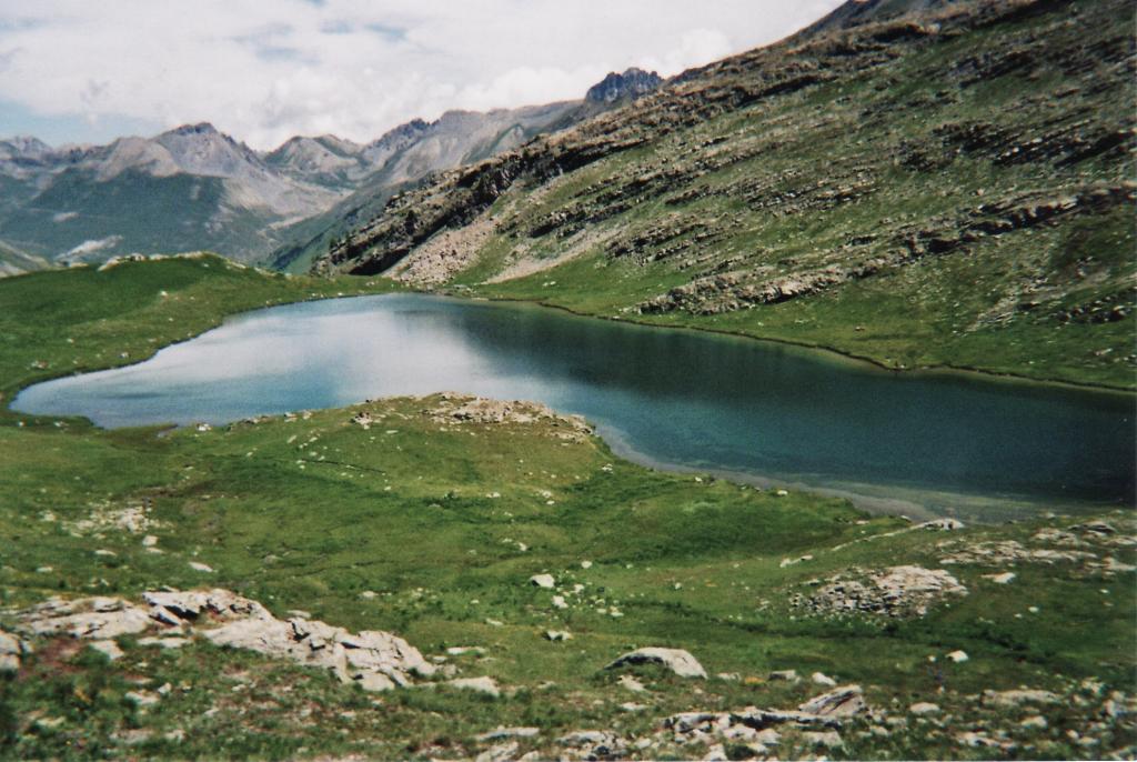 5.8Km
5.8Km
26/06/2013 Alpes-de-Haute-Provence, Val-d'Oronaye D+ 722 m EE Nord-Ovest
Ventasuso (Monte) da le Pontet
 5.8Km
5.8Km