950m
950m


Avvicinamento
 50m
50m
50m
50m
50m
50m
50m
50m
50m
50m
50m
50m
50m
50m
50m
50m
50m
50m
.
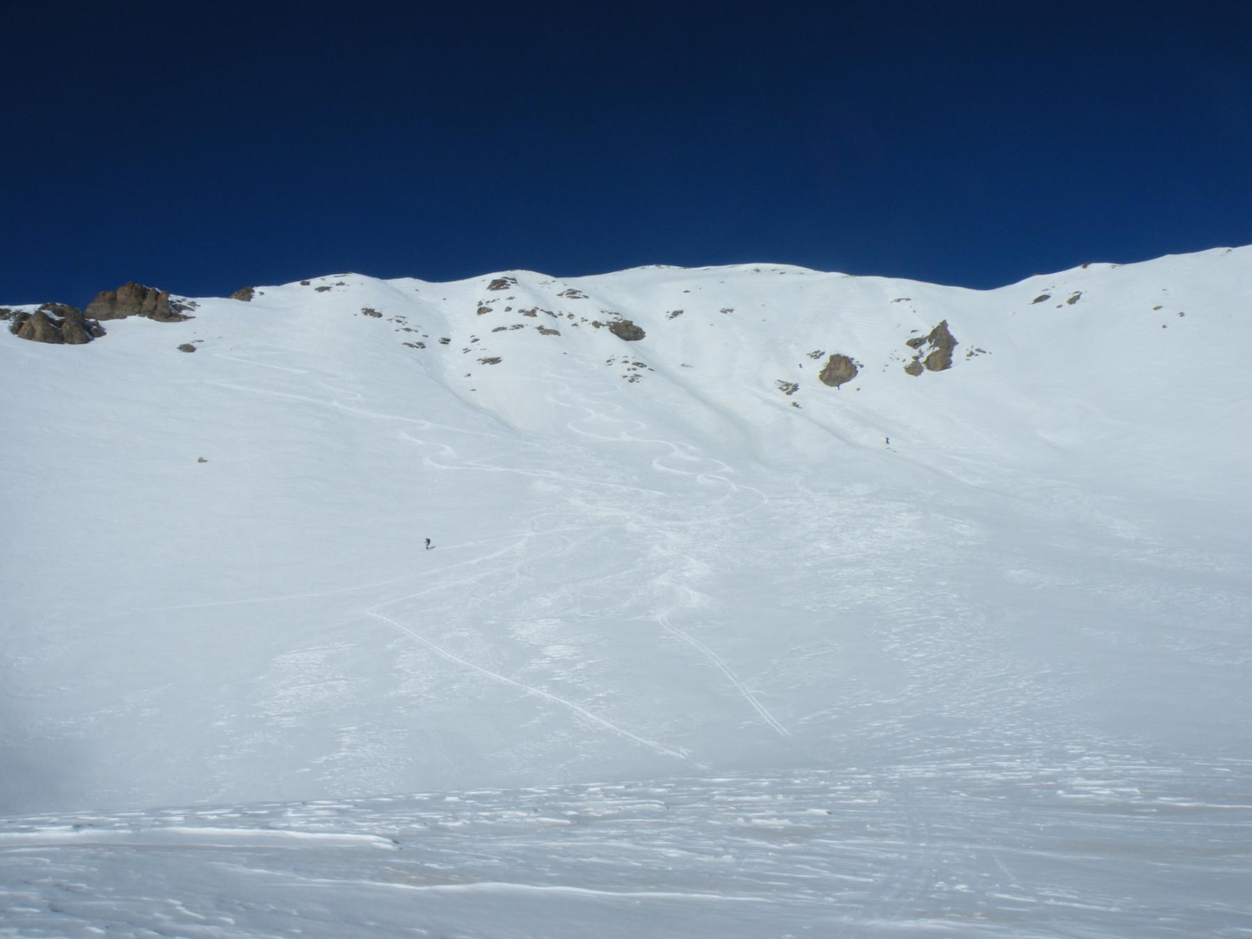
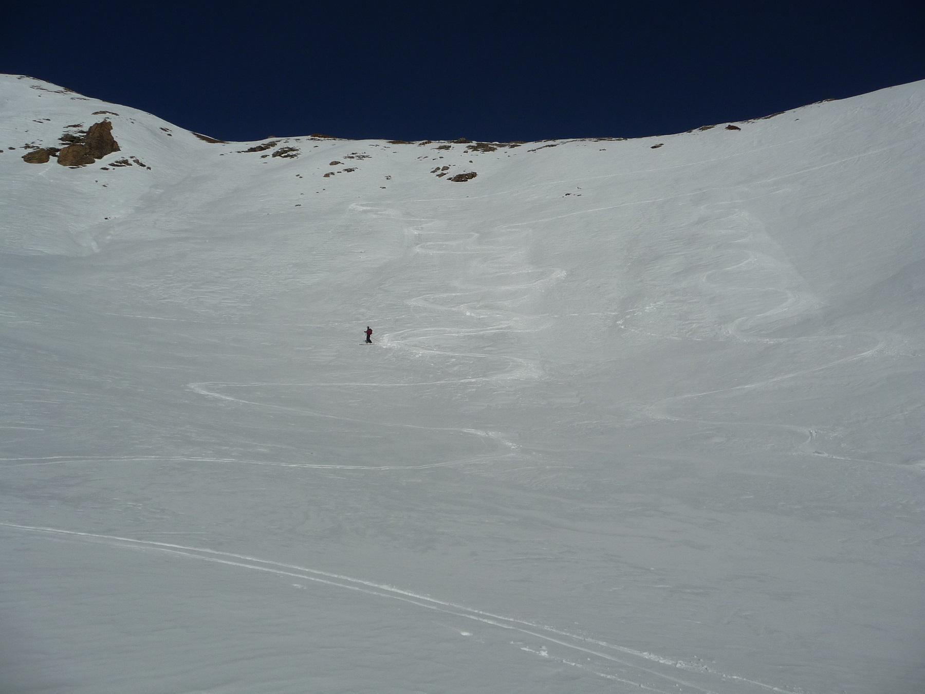
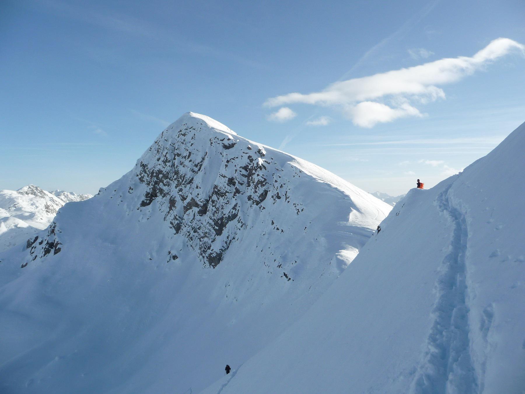
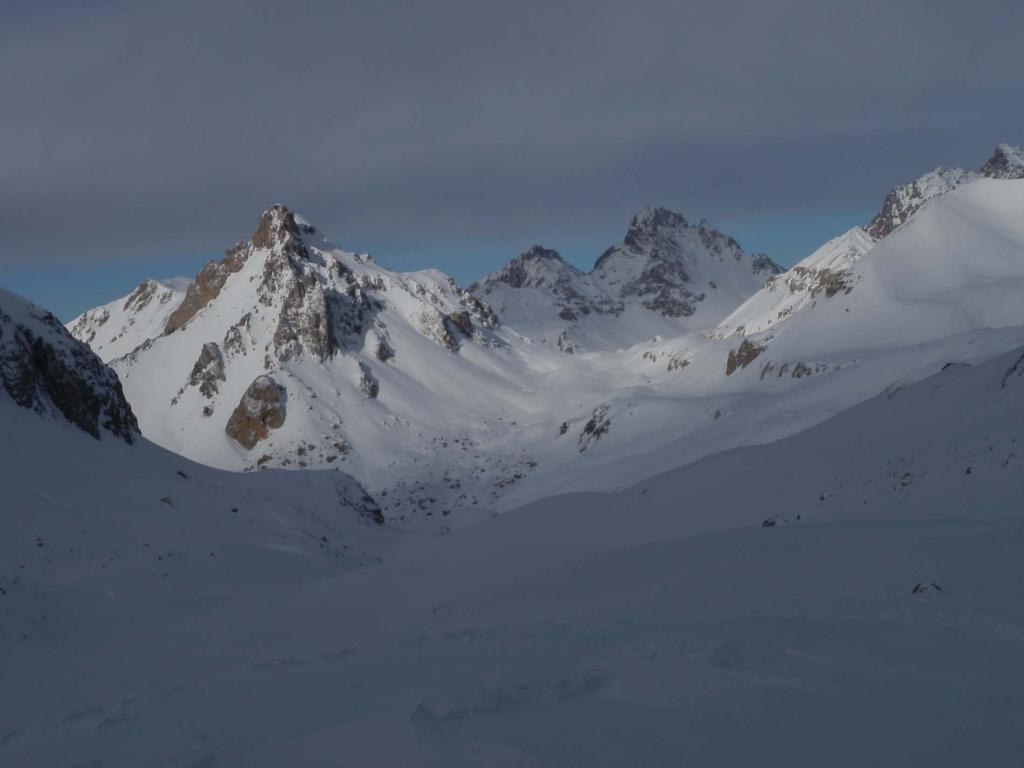
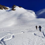
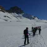
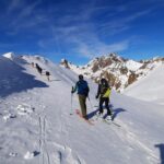
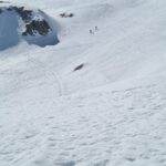
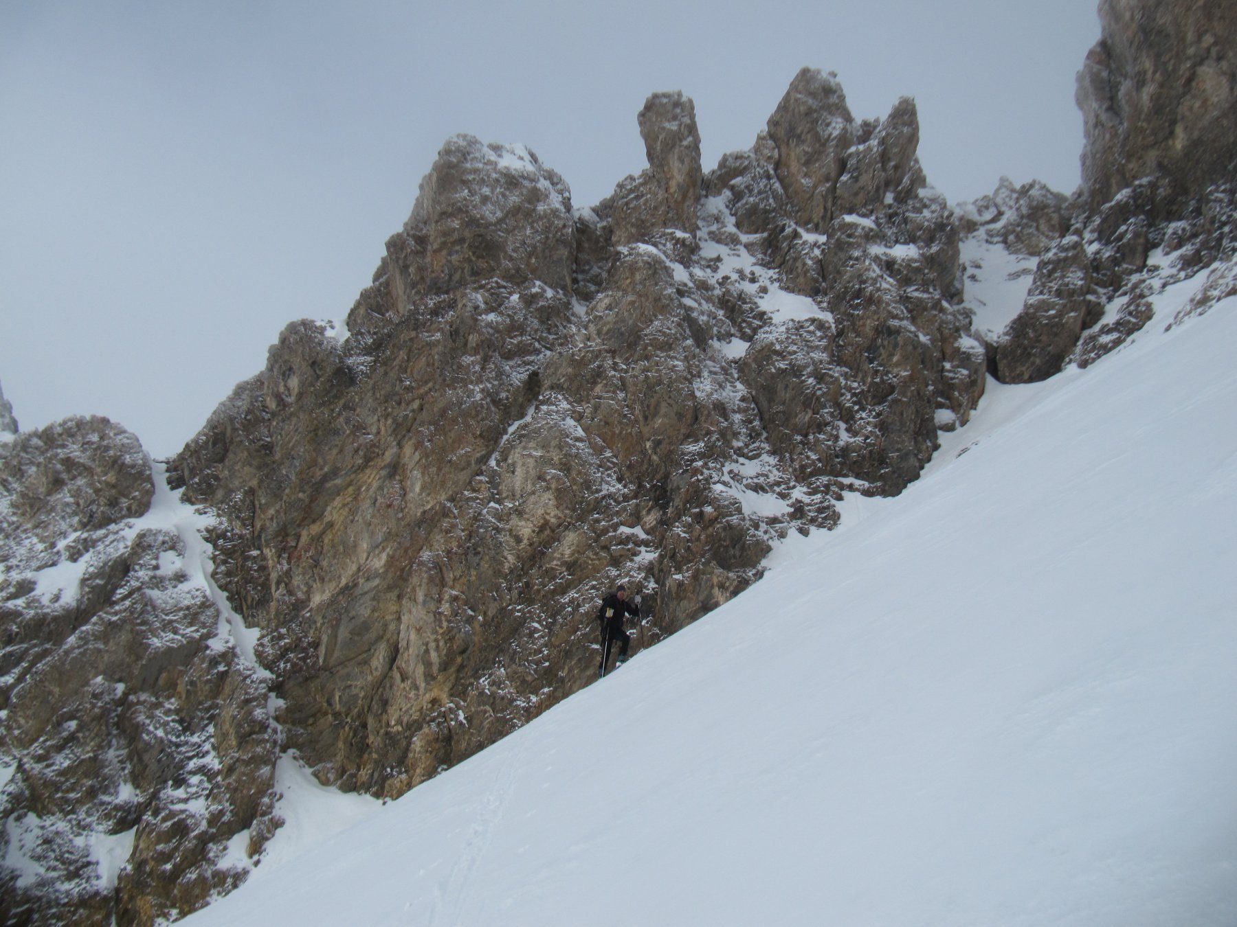
Descrizione
Poco oltre il colle della maddalena lasciare l’auto presso le pontet. Da li risalire al fianco del torrente Oronaye per poi una volta giunti nel vallone omonimo punatre il col de la Gipiere d’Oronaye. Qui tolte le pelli scendere fino alla Cabanne de Vyraisse dove rimesse le pelli si punta il colle del Sautron e da li per facile cresta si arriva in punta al monte Viraysse. Ridiscesi alla cabanne de Viraysse si risale il vallone sulla destra fino ad incontrare il canale che scende dal Col Remy. Risalito il canale e giunti al colle si aggira con un traverso sulla destra una cresta rocciosa e da li si giunge alla Tete Dure. Da questa si scendono gli ampi pendii che sovrastano Larche fino ad incontrare una stradina che in breve riconduce al punto di partenza.
Nelle vicinanze Mappa
Itinerari
16/02/2020 Alpes-de-Haute-Provence, Val-d'Oronaye D+ 554 m MS Varie
Roburent (Colle di e Laghi di) da le Pontet
 50m
50m
02/01/2026 Alpes-de-Haute-Provence, Val-d'Oronaye D+ 850 m BS, PD Sud-Ovest
Lievre (Bec du) da le Pontet
 50m
50m
18/02/2023 Alpes-de-Haute-Provence, Val-d'Oronaye D+ 801 m MS Varie
Feuillas (Colle) da le Pontet
 50m
50m
23/01/2016 Alpes-de-Haute-Provence, Val-d'Oronaye D+ 879 m MS Sud-Ovest
Lauzanier (Bosse du) da le Pontet
 50m
50m
28/01/2024 Alpes-de-Haute-Provence, Val-d'Oronaye D+ 750 m BS Sud
Palets (Cime de) da le Pontet per il versante Sud
 50m
50m
28/03/2026 Alpes-de-Haute-Provence, Val-d'Oronaye D+ 930 m BS Varie
Vanclava (Monte) o Tète de Vauclave da le Pontet
 50m
50m
11/04/2026 Alpes-de-Haute-Provence, Val-d'Oronaye D+ 813 m BS Varie
Pierassin (Monte) da le Pontet
 50m
50m
04/04/2026 Alpes-de-Haute-Provence, Val-d'Oronaye D+ 779 m MS Sud-Ovest
Manse (Cima delle) o Tete de Villadel da le Pontet
 50m
50m
23/02/2020 Alpes-de-Haute-Provence, Val-d'Oronaye D+ 752 m OS Sud
Lievre (Bec du) spalla sud 2700 m da le Pontet
 50m
50m
03/03/2013 Alpes-de-Haute-Provence, Val-d'Oronaye D+ 527 m MS Nord
Croix (la) da le Pontet per il Vallon du Lauzanier
50m