1Km
1Km
Descrizione
 3.1Km
4.4Km
4.8Km
4.8Km
6.3Km
11.5Km
17.9Km
3.1Km
4.4Km
4.8Km
4.8Km
6.3Km
11.5Km
17.9Km
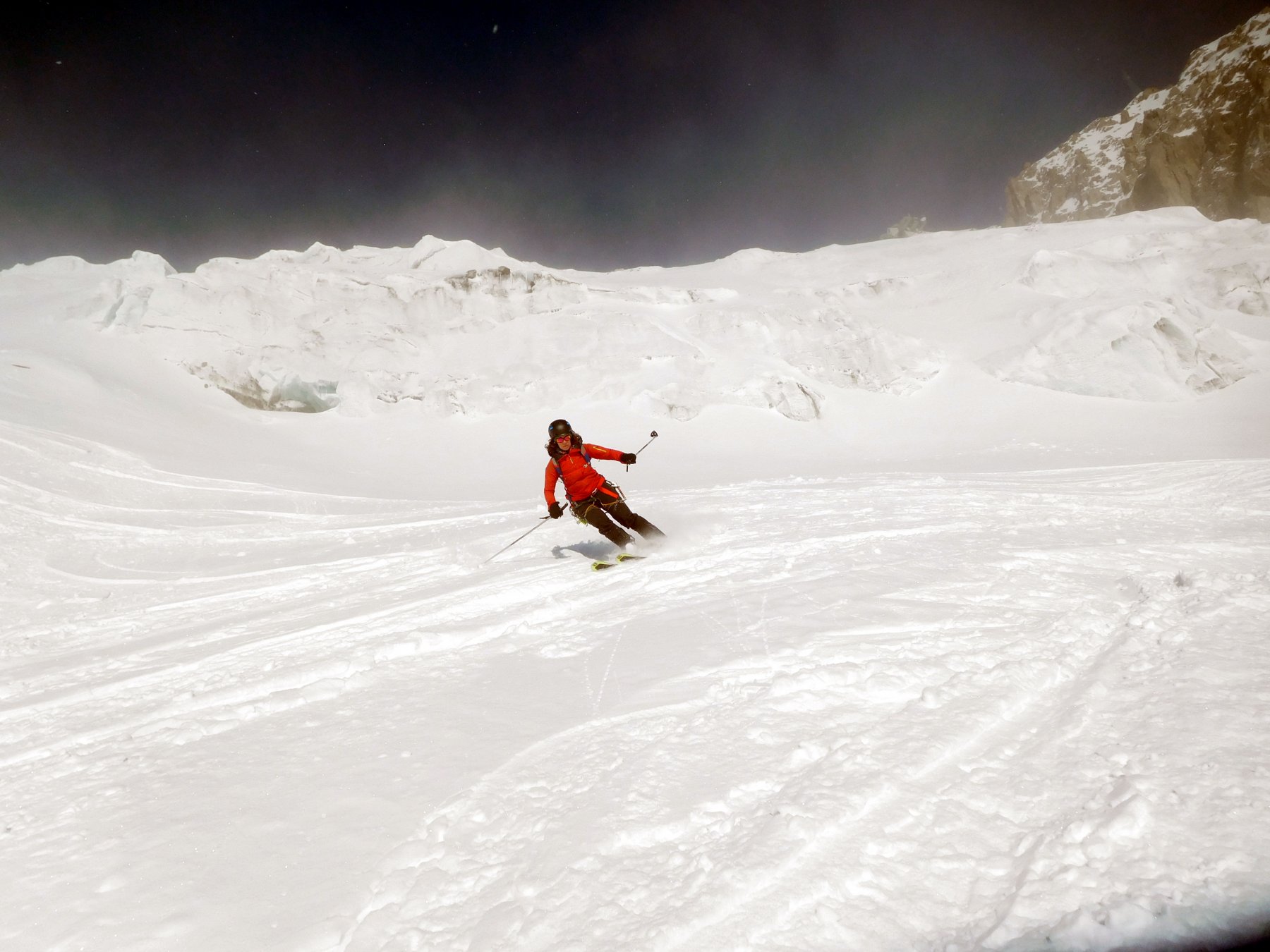
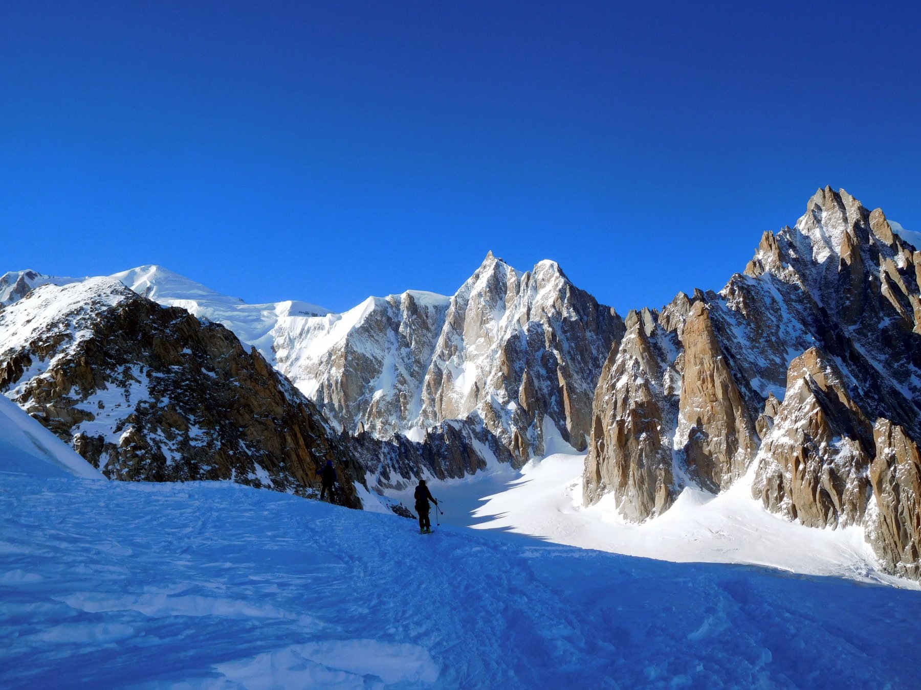
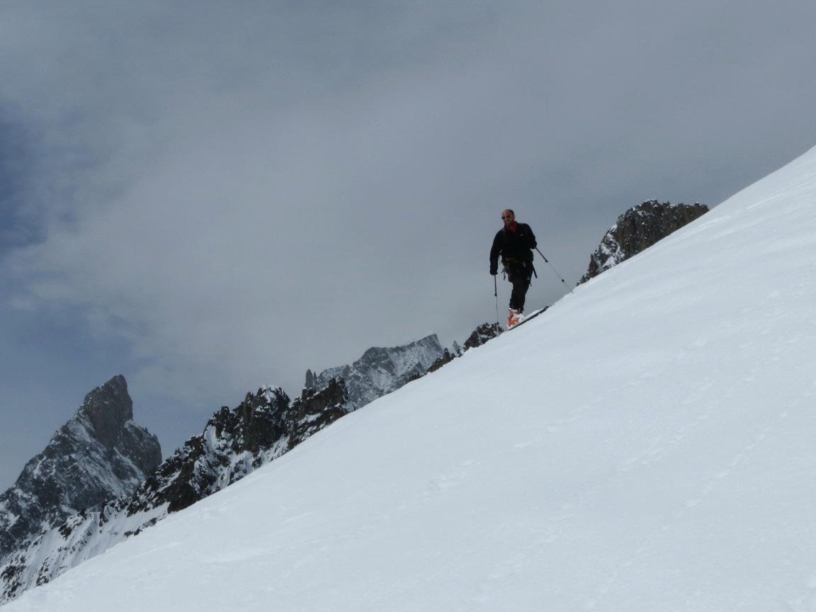
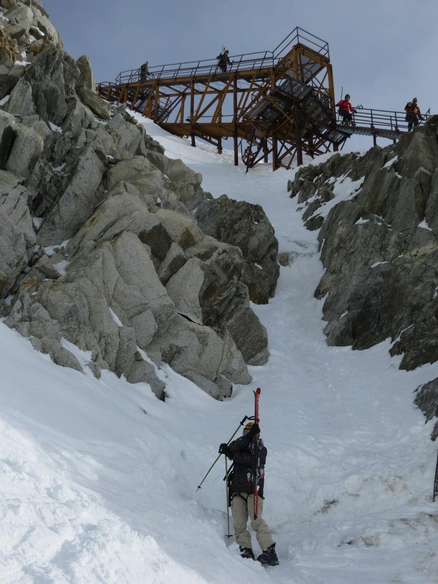
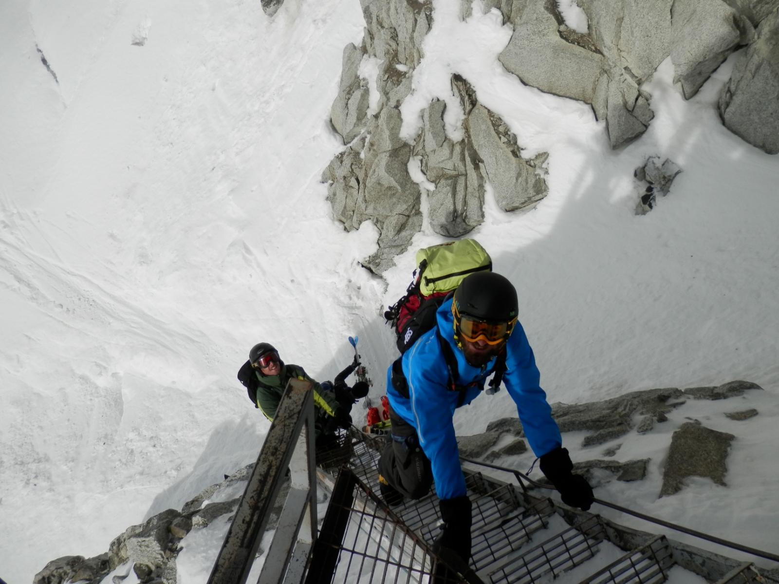
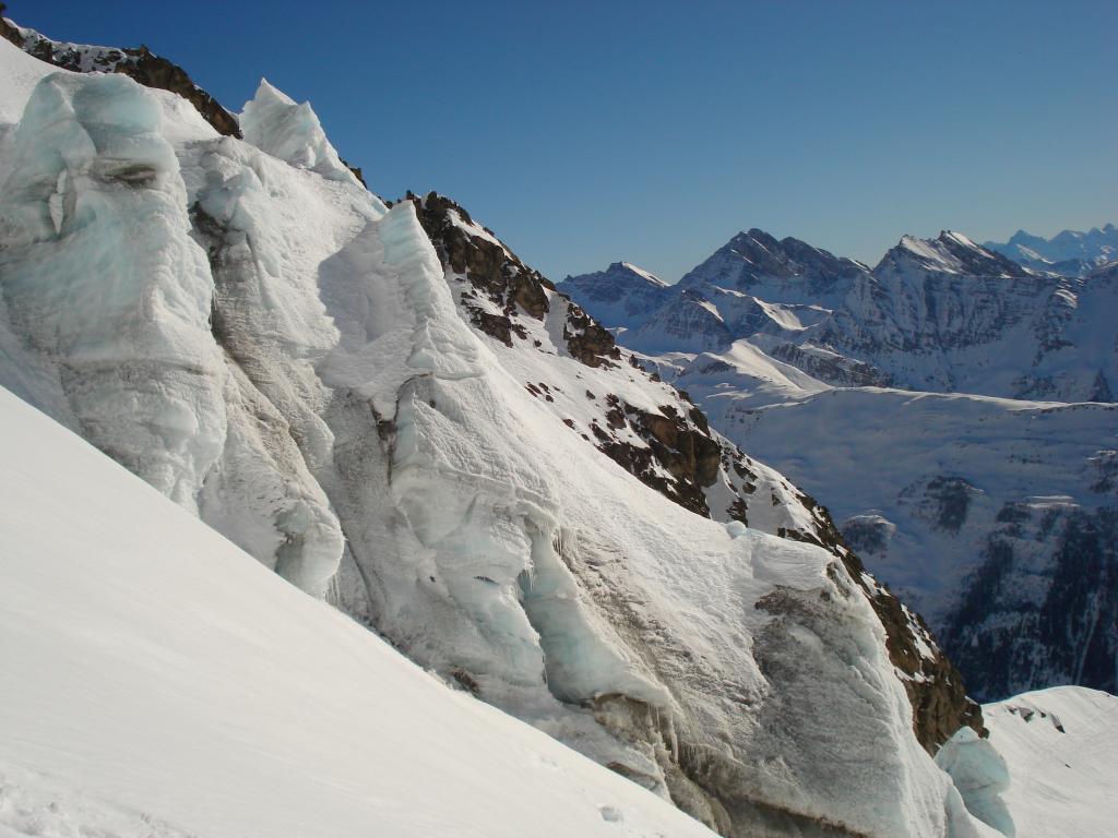
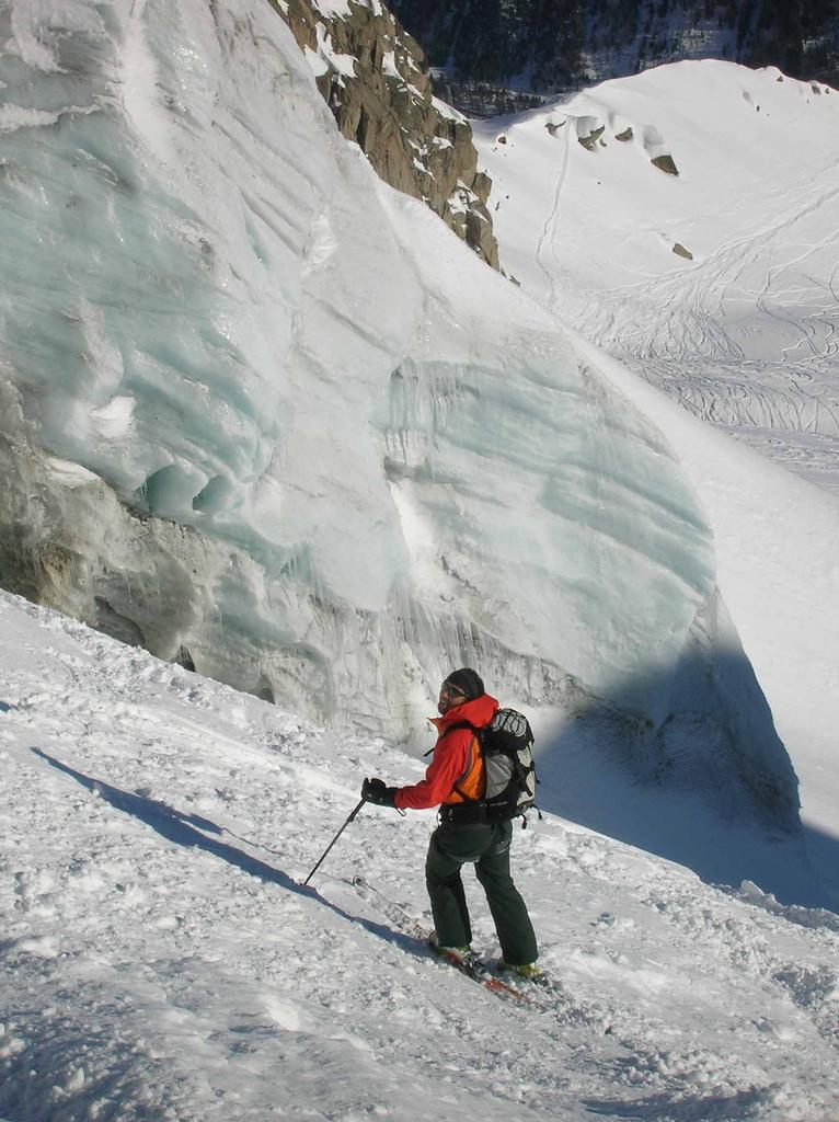
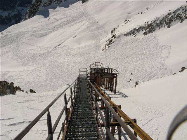
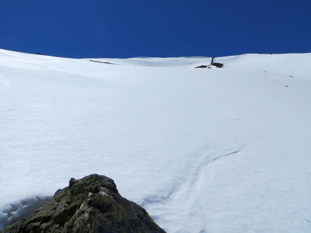
da punta Helbronner (3462 m) si punta al colle des Flambeaux (3407 m), sotto il pilone sospeso della funivia dei ghiacciai, risalendo a scaletta gli ultimi metri.
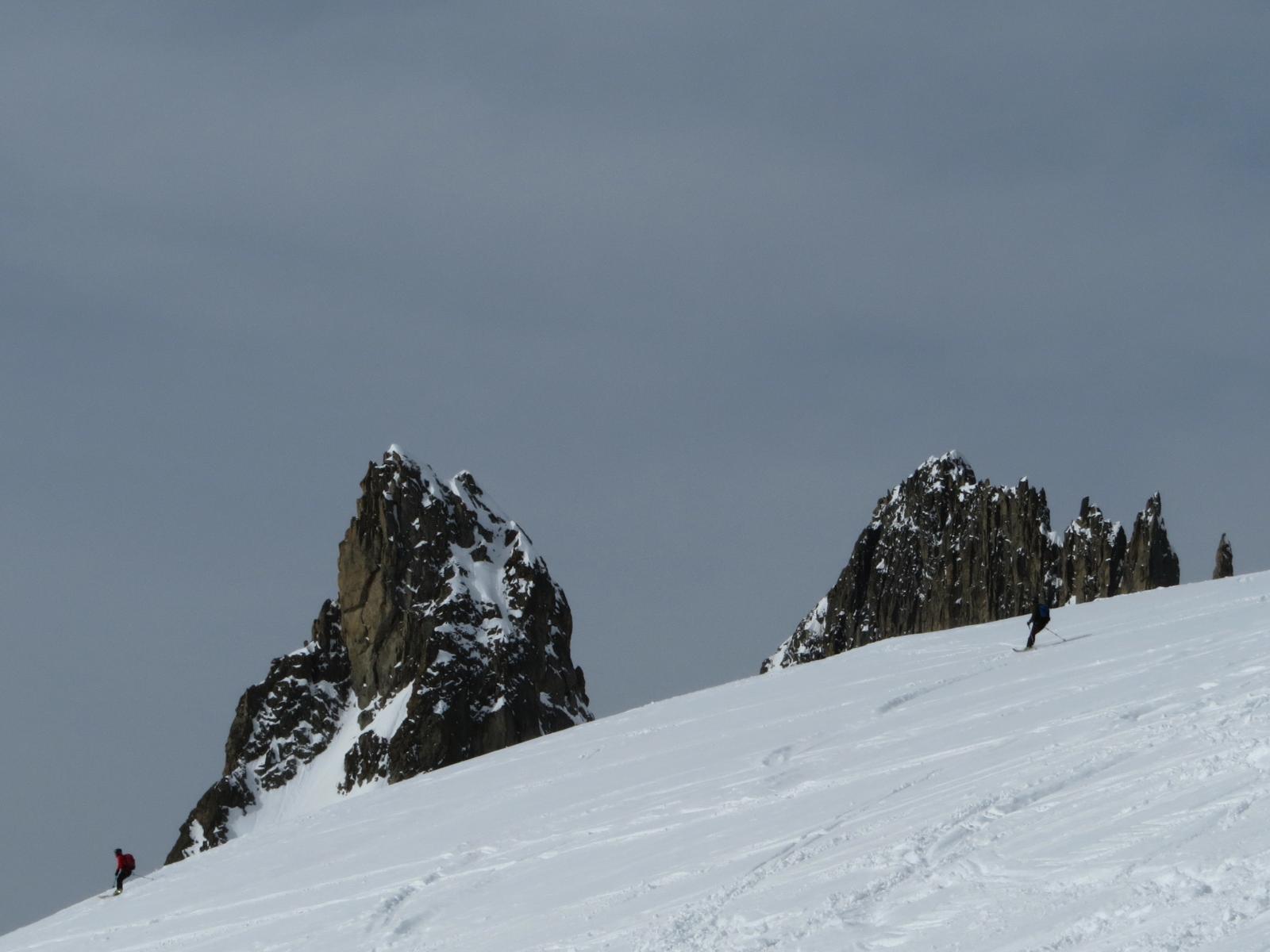
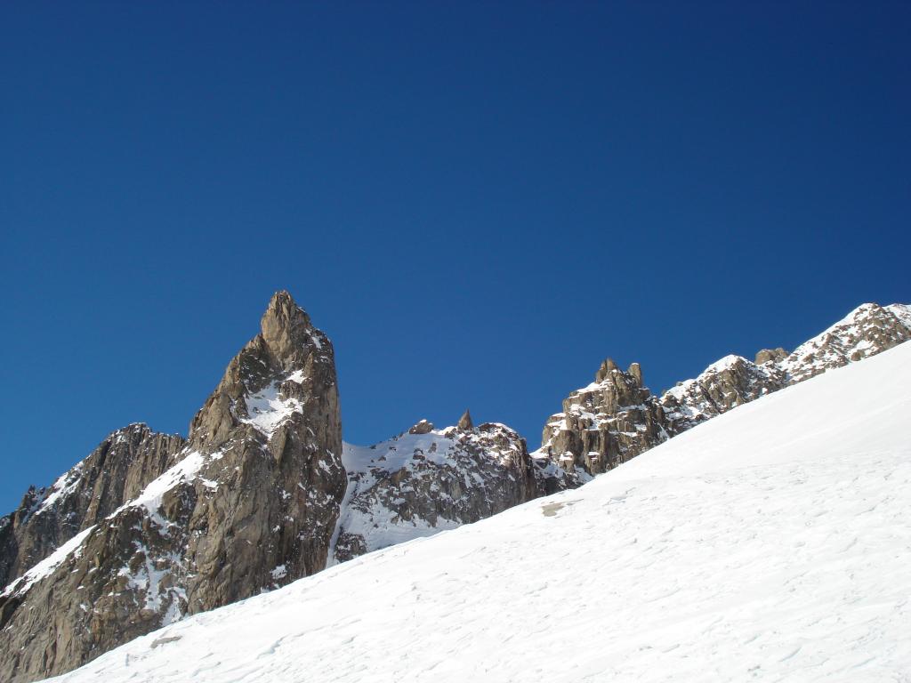
Si gira verso sinistra, si contorna la base delle rocce del Grand Flambeaux e si giunge alla larga sella del colle orientale di Toula (3411 m – 15 min.).
In alcune annate c’è un palo che permette di installare una corda per aiutarsi a scendere alla scala che porta al ghiacciaio.
Altrimenti in diagonale da sinistra verso destra si può arrivare alla scala sci ai piedi.
Lungo la scala, o per i ripidi pendii a sinistra ( attenzione alla terminale) si raggiunge il ghiacciaio.
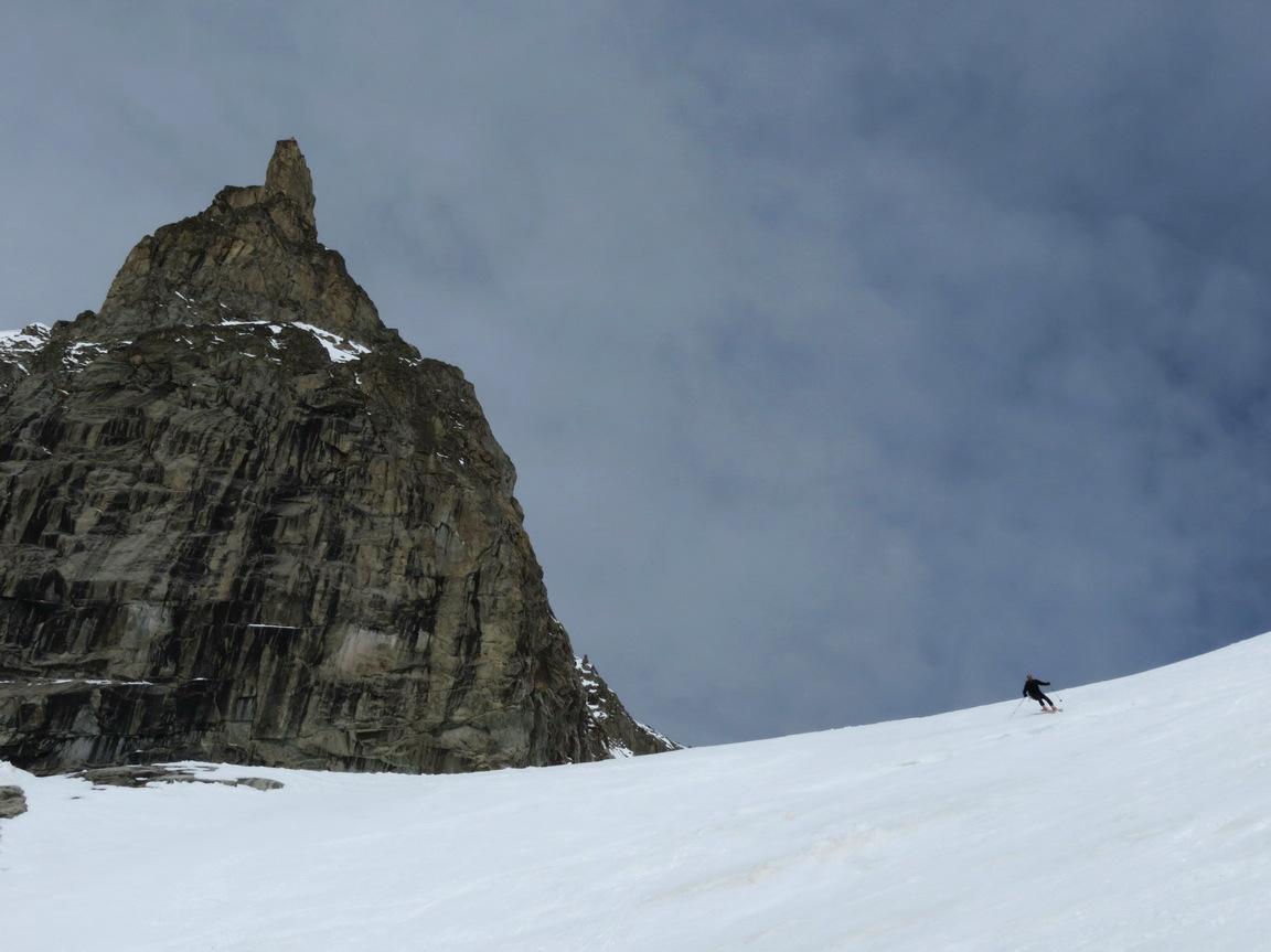
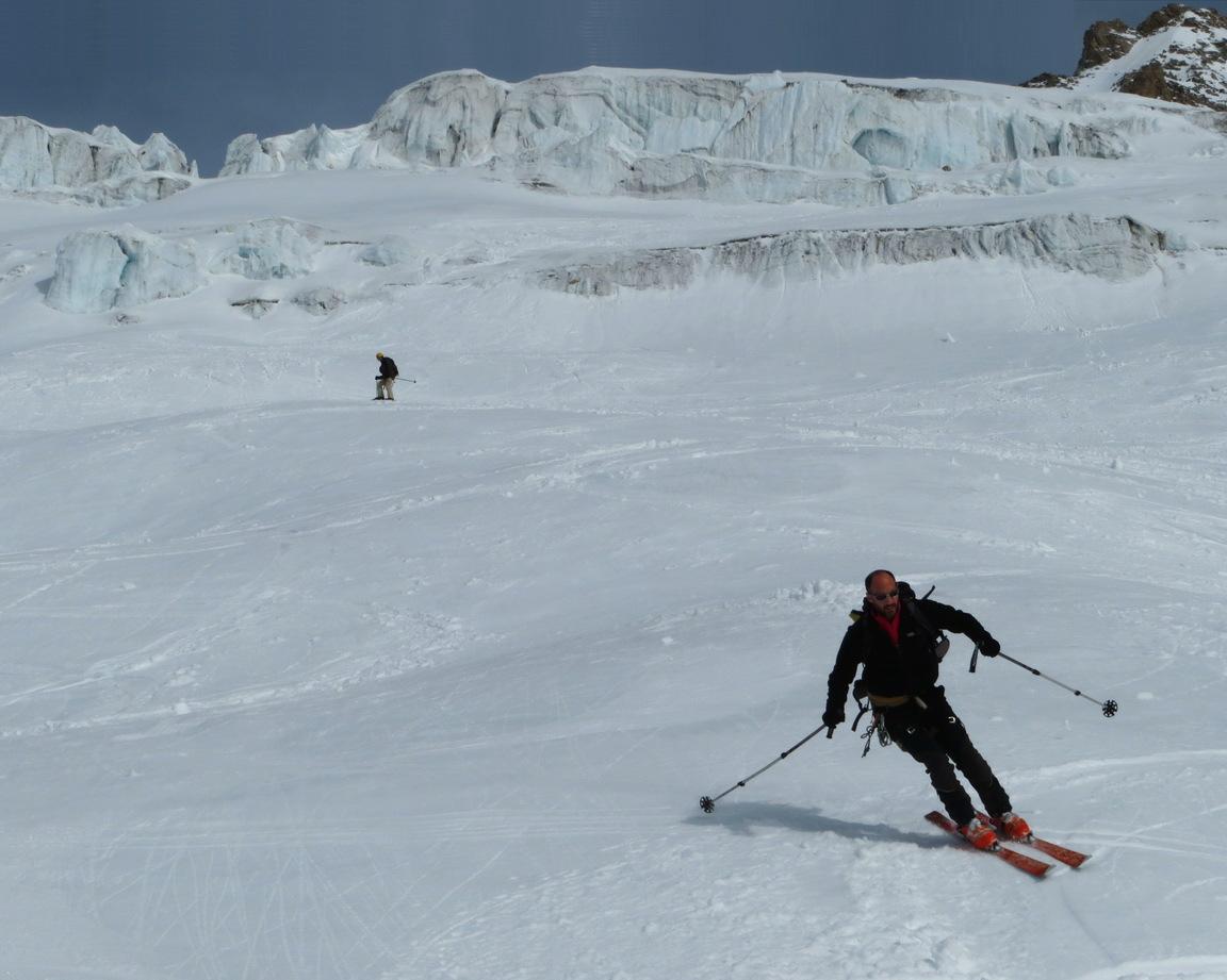
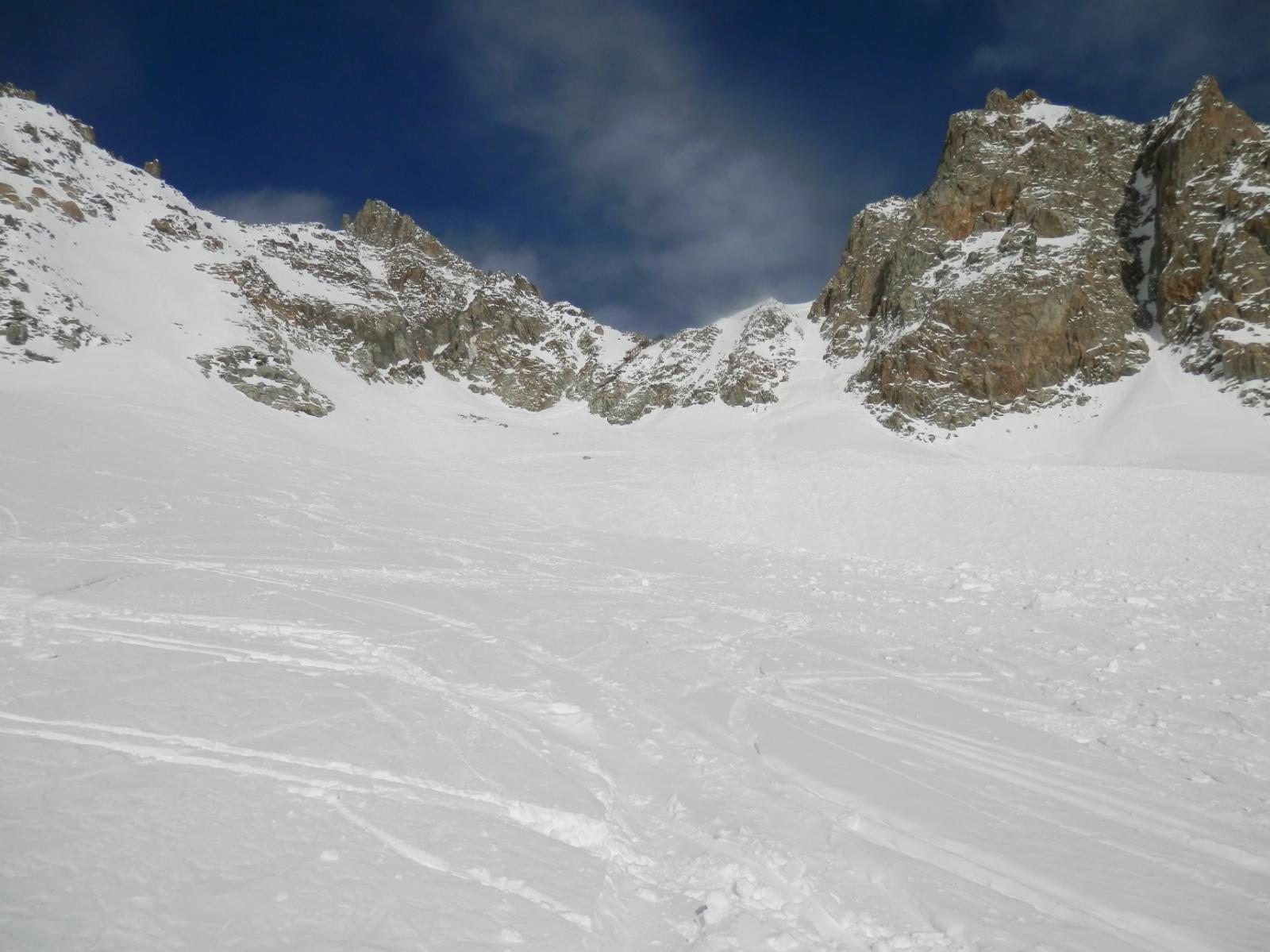
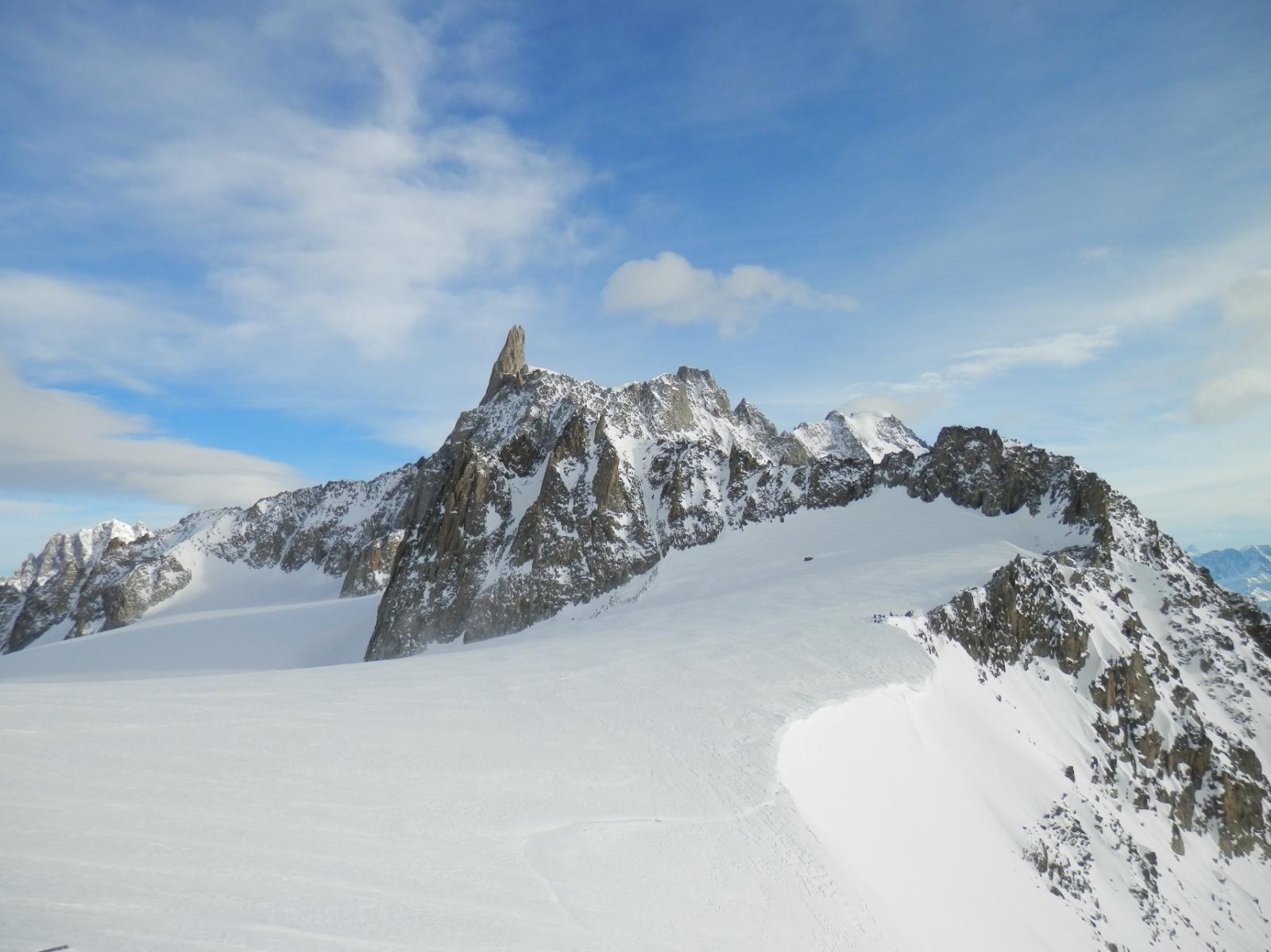
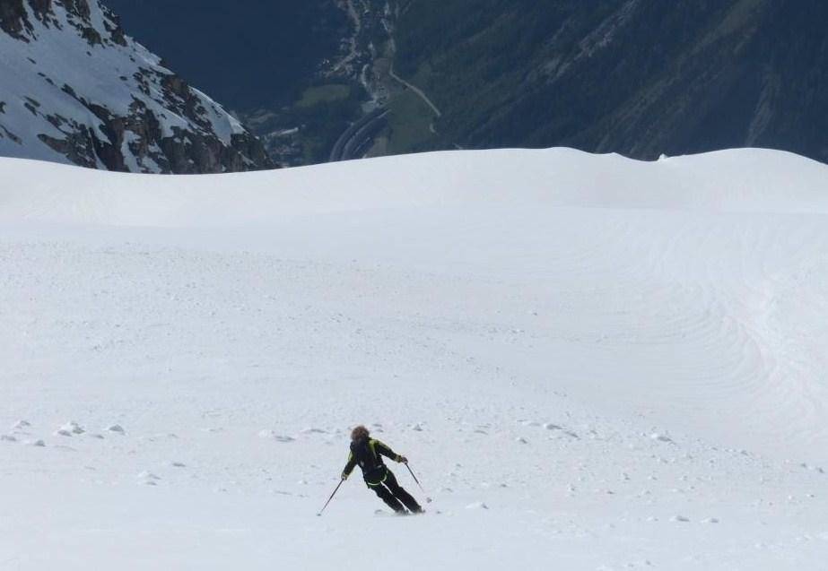
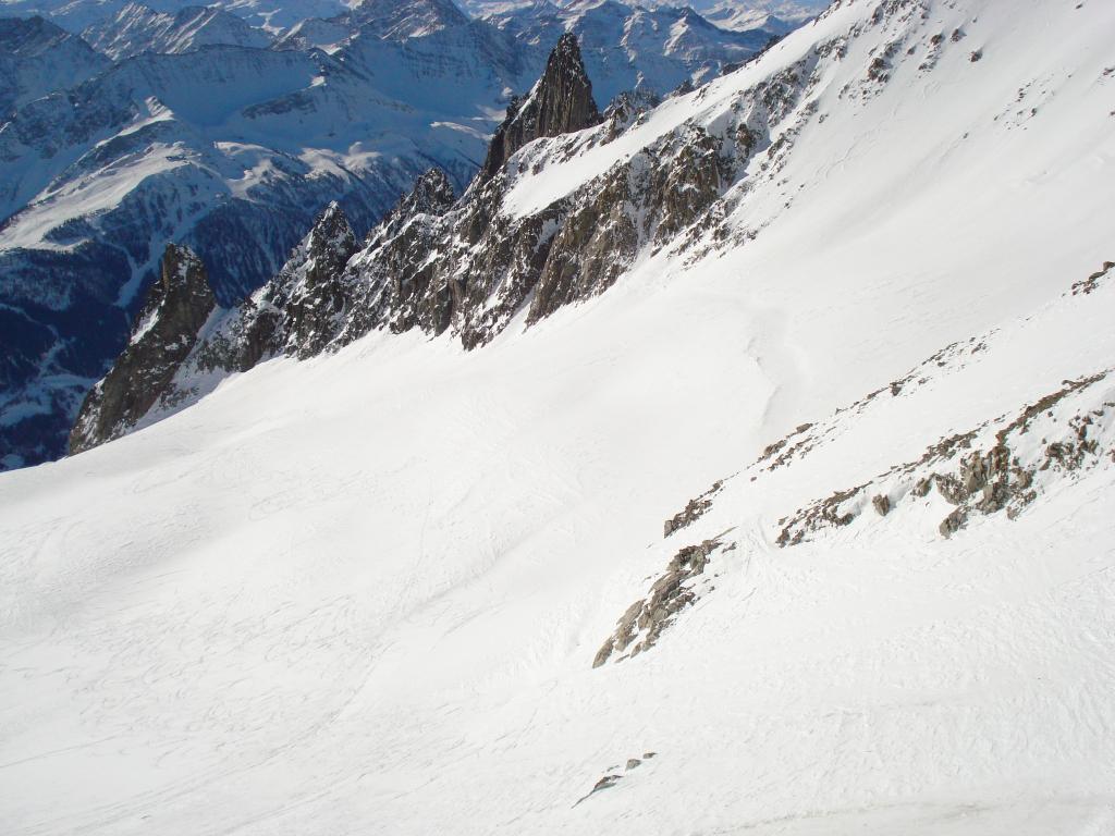
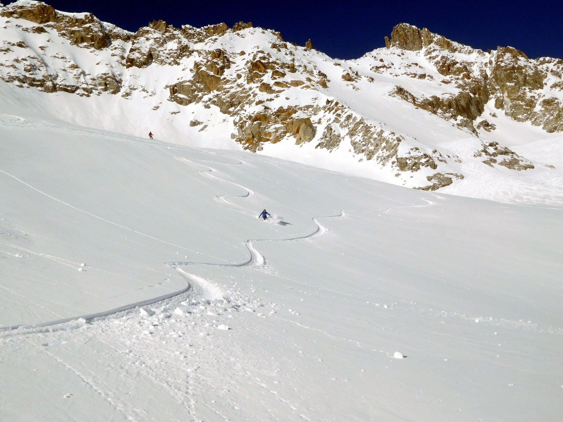
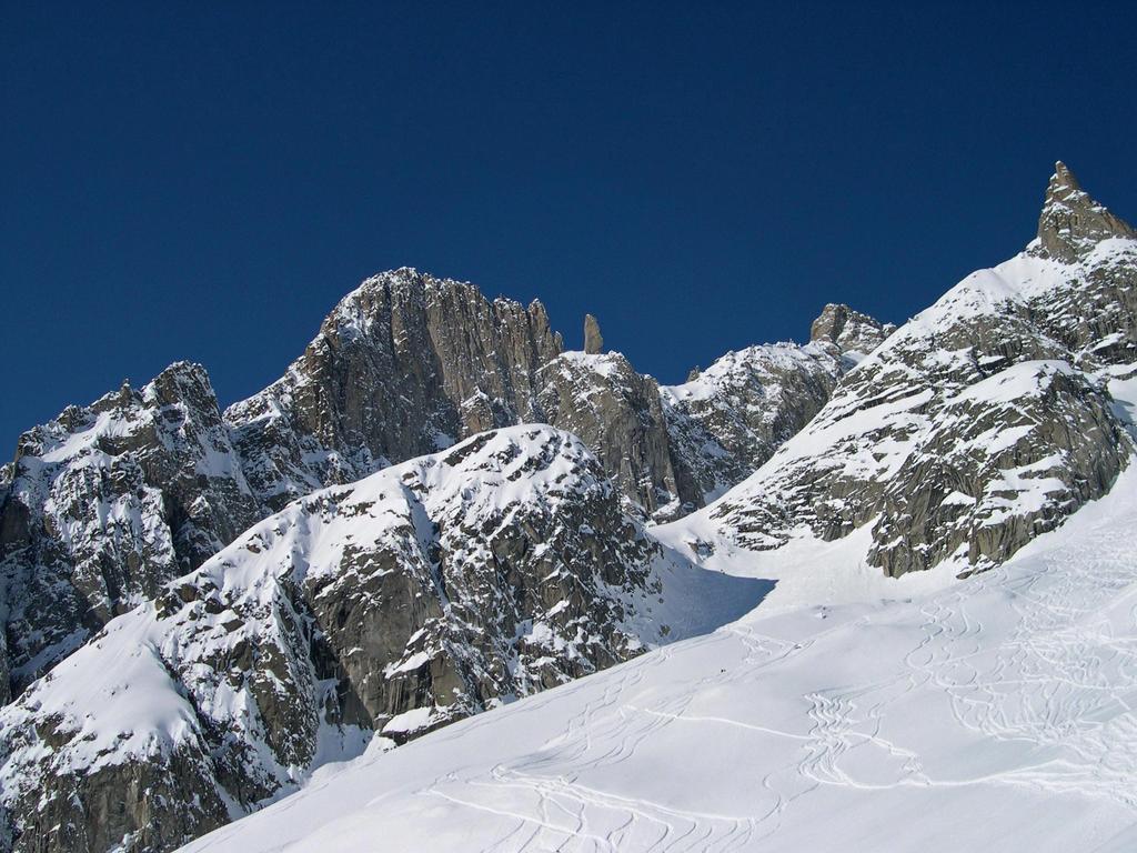
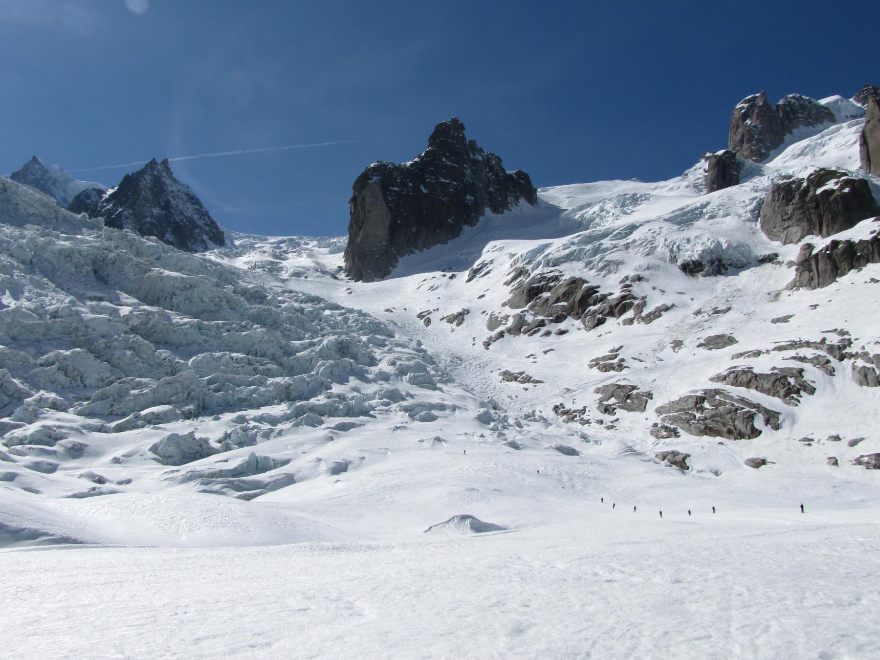
Si scende al centro del ghiacciaio.
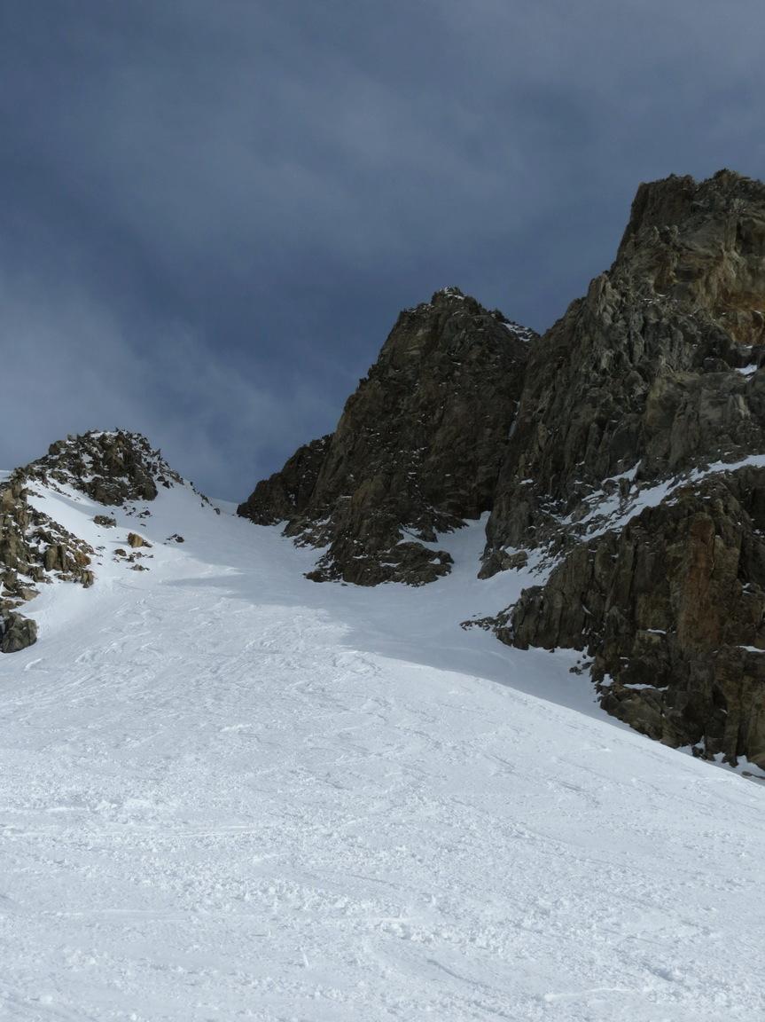
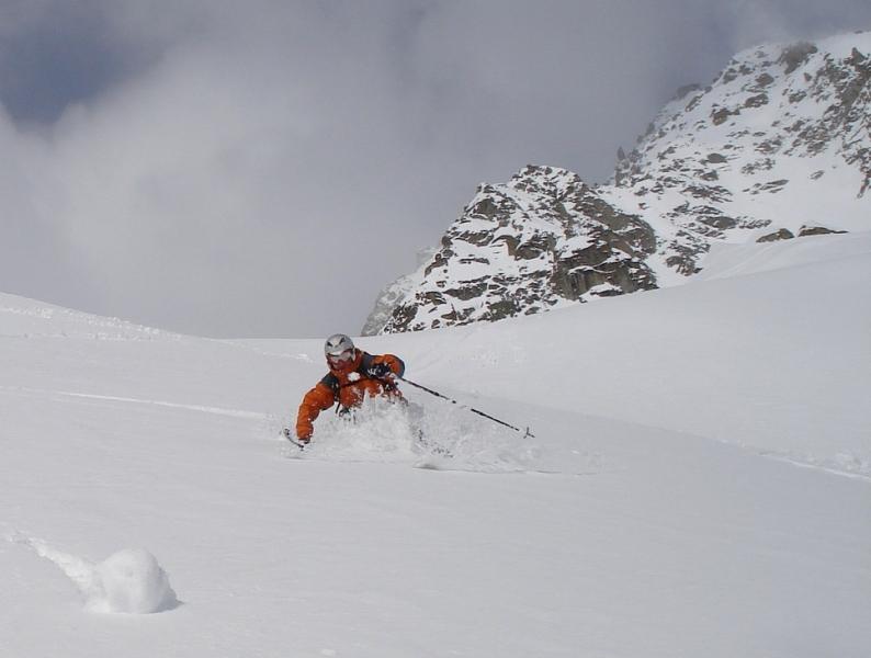
Dopo un cambio di pendenza si va verso dx, si passa sotto una seraccata e si scende lungo un canale tra una seraccata a sx e delle rocce a dx.
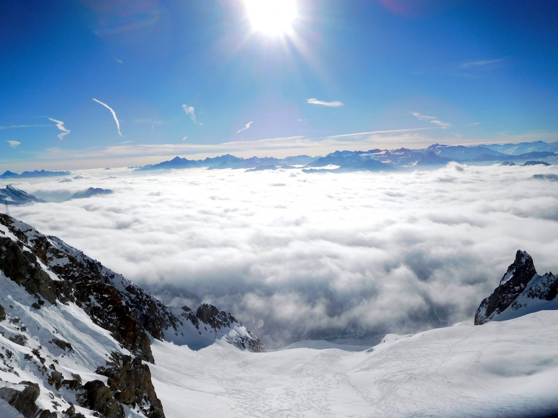
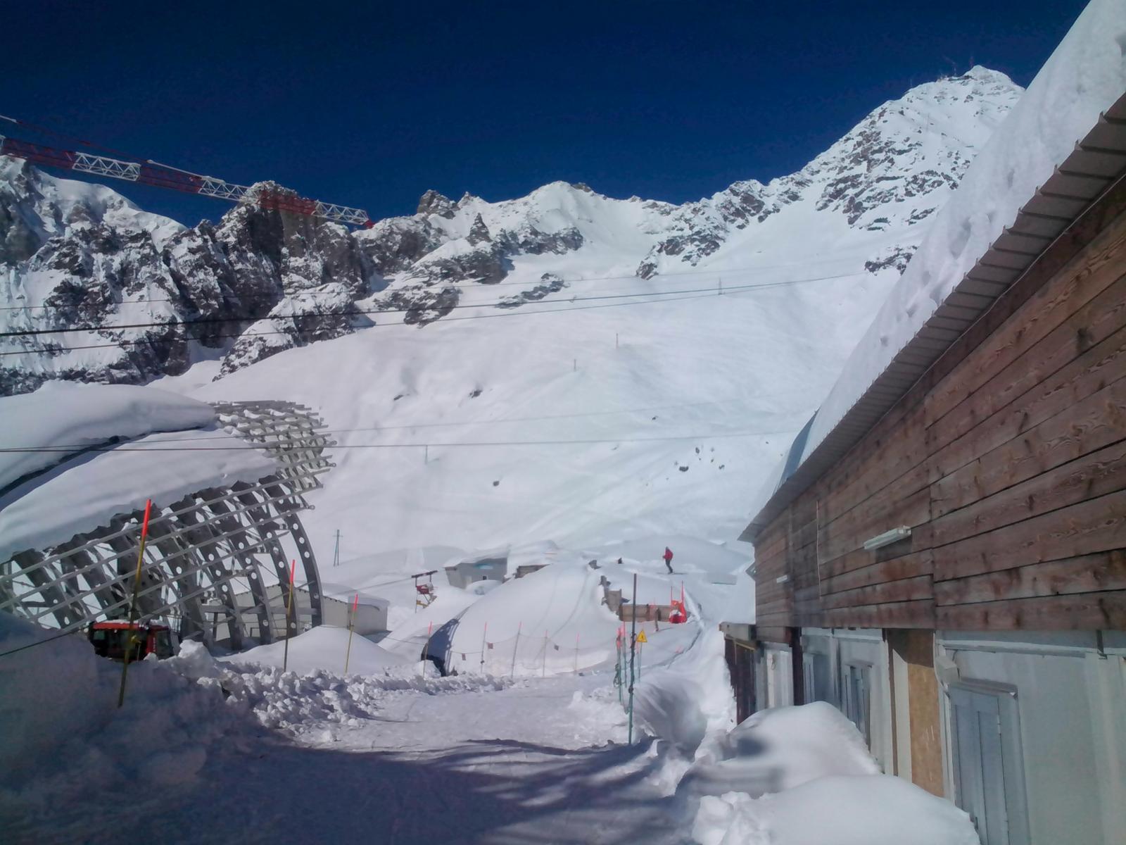
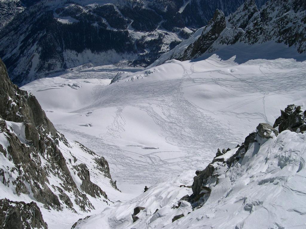
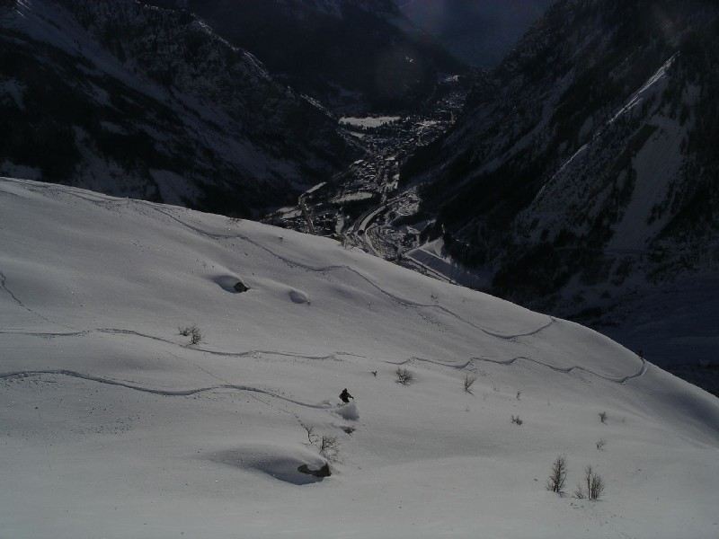
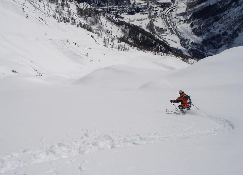
Alla fine del canale si va verso sinistra passando sotto lo sperone sotto il rifugio Torino (valanghe) e si prosegue verso la vicina stazione della funivia del Pavillon.
Volendo si può scendere al traforo prendendo uno dei canali che scendono a dx dei paravalanghe.
Ultima revisione 05/04/2019
Nelle vicinanze Mappa
Itinerari
28/01/2014 AO, Courmayeur D+ 1500 m 3.2, - Varie
Courmayeur Vallone d’Arp – Dolonne
 3.1Km
3.1Km
15/01/2022 AO, Courmayeur D+ 2100 m 4.1, E2 Varie
Marbrées
 4.4Km
4.4Km
09/03/2026 AO, Courmayeur D+ 2400 m 3.1, E1 Nord
Vallée Blanche dall’Aiguille du Midi
 4.8Km
4.8Km
19/03/2026 AO, Courmayeur D+ 2200 m 3.1, E1 Nord
Vallèe Blanche da Punta Helbronner
 4.8Km
4.8Km
02/12/2019 AO, Courmayeur D+ 1250 m 3.2, E1 Nord
Dolonne (Canale di)
 6.3Km
6.3Km
03/03/2014 AO, Courmayeur D+ 1000 m 3.1, E1 Nord
Courmayeur Canali dei Vesses
7.9Km
03/01/2012 AO, La Thuile D+ 400 m 3.3, - Sud
La Thuile Bella Valletta
 11.5Km
25/01/2025 AO, La Thuile D+ 950 m 3.3, E3 Nord
La Thuile – Canale del Lelio
11.5Km
18/02/2017 AO, La Thuile 3.3, E1 Varie
La Thuile – Fuoripista zona Belvedere
16.9Km
09/06/2013 AO, La Thuile 3.2, E1 Nord
BelvedereDefy
 17.9Km