2.7Km
2.7Km
Avvicinamento
 1.5Km
1.6Km
4.4Km
7.4Km
8.3Km
14.8Km
15.1Km
1.5Km
1.6Km
4.4Km
7.4Km
8.3Km
14.8Km
15.1Km
.
Descrizione
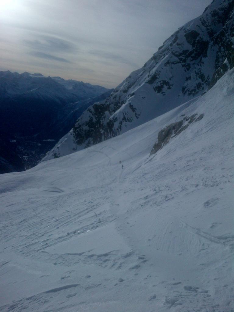
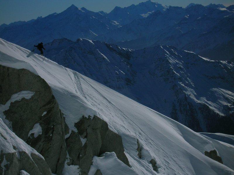
Da punta Helbronner scendere nel bacino sottostante in direzione del Dente e risalire il ghiacciaio superando le Aig.Marbrèees e arrivando all’ampio colle di Rochefort.
Qui c’è l’ingresso classico.
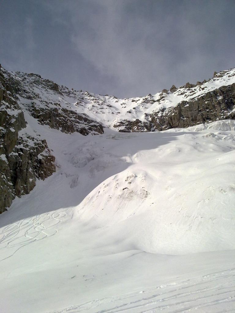
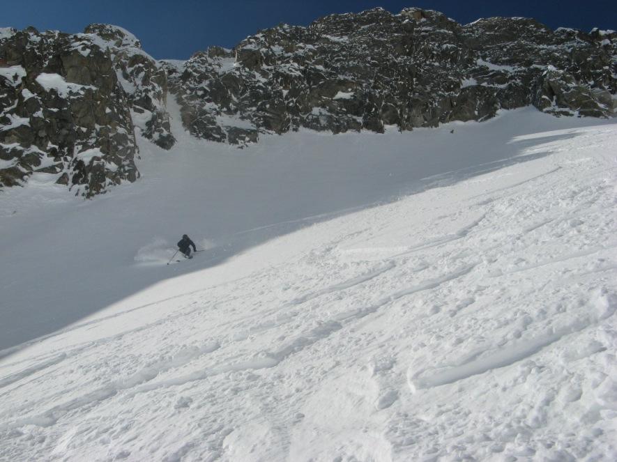
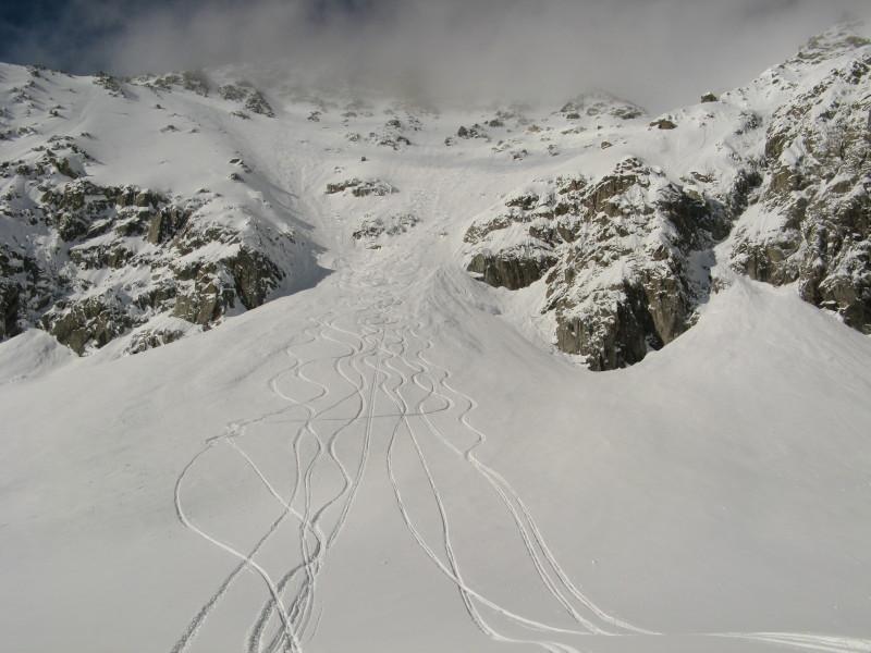
Si scende la prima parte in diagonale verso destra (attenzione alle placche nella prima parte) e si va an imboccare il largo ed evidente pendio, scegliendo la linea preferita.
Variante:
Dall’ingresso Classico, continuare a salire costeggiando il colle e la cresta rocciosa fino a raggiungere un altro piccolo colletto roccioso all’incirca in corrispondenza del punto dove il ghiacciaio fa una gobba e spiana a quota 3500 circa.
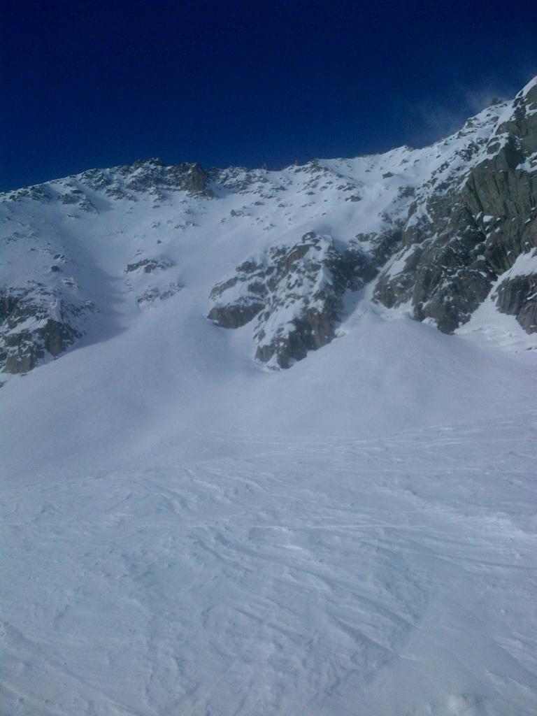
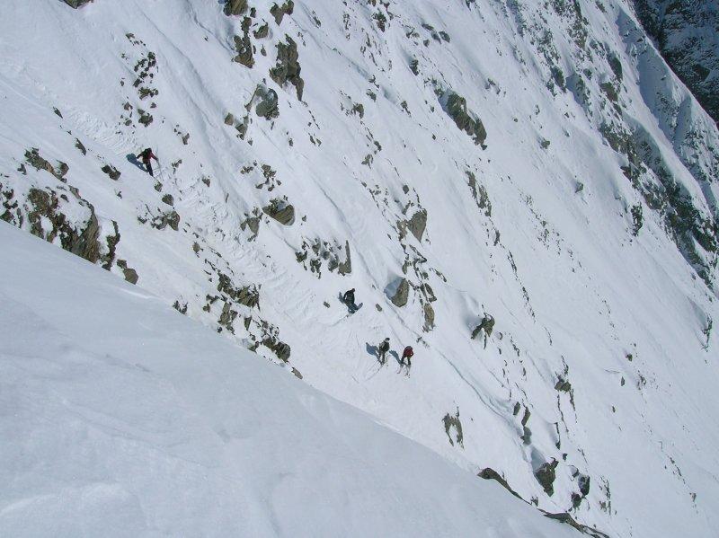
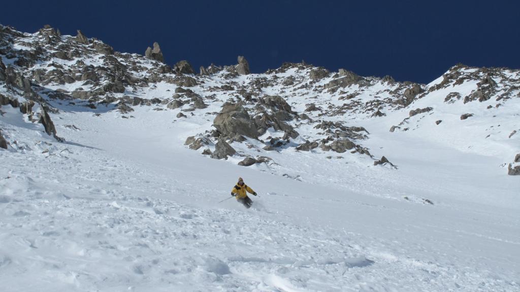
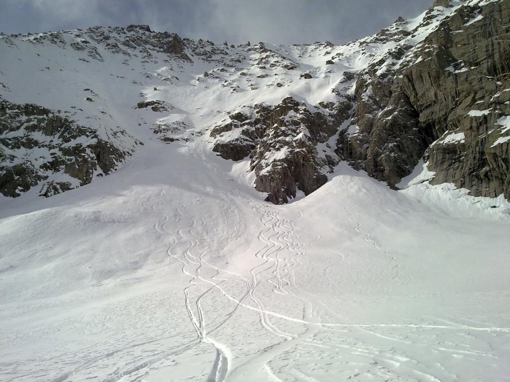
Dal colletto risalire circa 100m di roccette fino all’evidente unico punto di ingresso nel canale.
Primi 70m ripidi sui 45° e spesso con poca neve (pietre) poi il tutto diventa ampio e con pendenza max 40°.
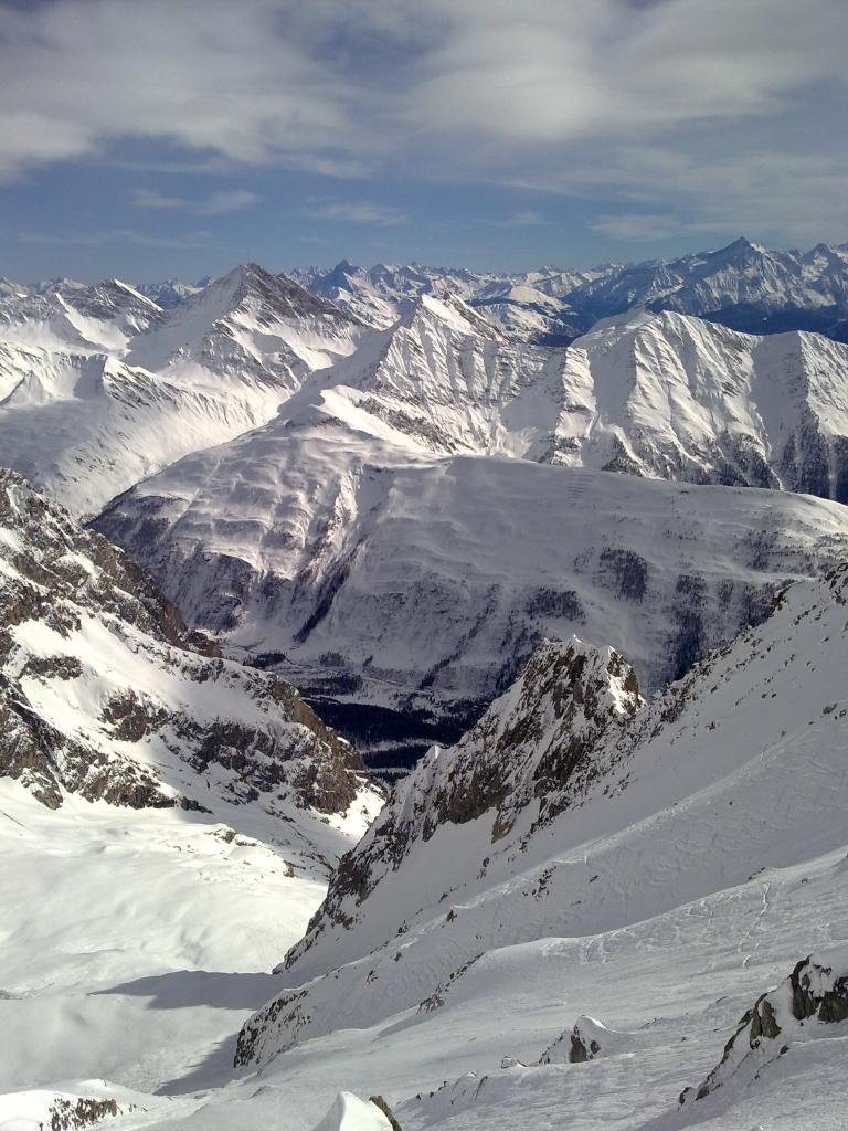
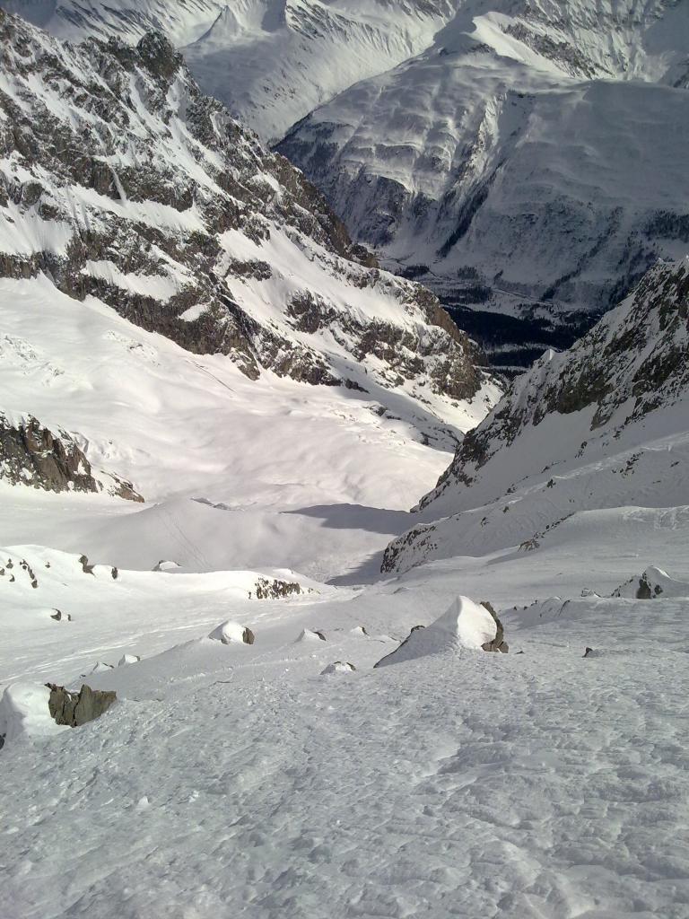
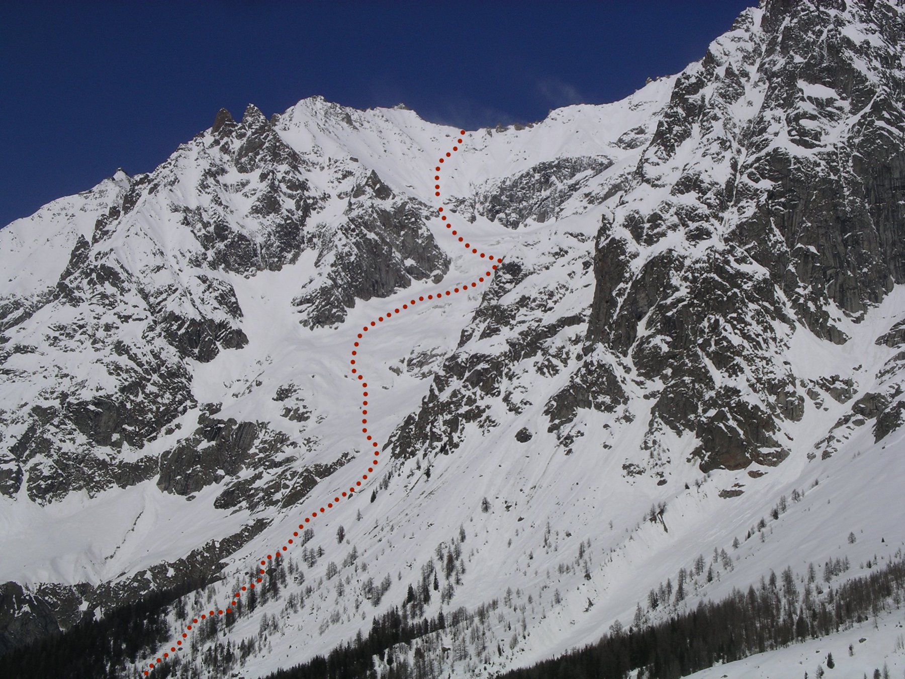
La discesa molto articolata tra valloni, canali e dorsali da non sbagliare per non ritrovarsi a dover risalire.
Nella prima parte della discesa tenere sempre la sx fino a una grossa dorsale da cui si accede con un saltino verso dx all’ampio vallone terminale che porta alla Palud.
Nelle vicinanze Mappa
Itinerari
09/03/2026 AO, Courmayeur D+ 2400 m 3.1, E1 Nord
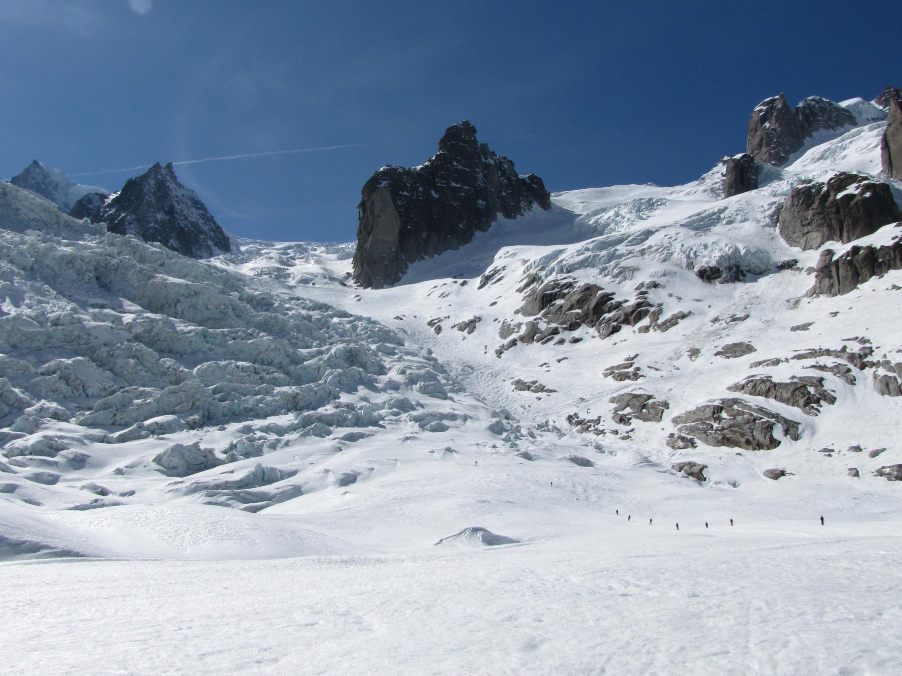
Vallée Blanche dall’Aiguille du Midi
 1.5Km
1.5Km
19/03/2026 AO, Courmayeur D+ 2200 m 3.1, E1 Nord
Vallèe Blanche da Punta Helbronner
 1.6Km
1.6Km
15/01/2022 AO, Courmayeur D+ 1200 m 3.3, E1 Sud
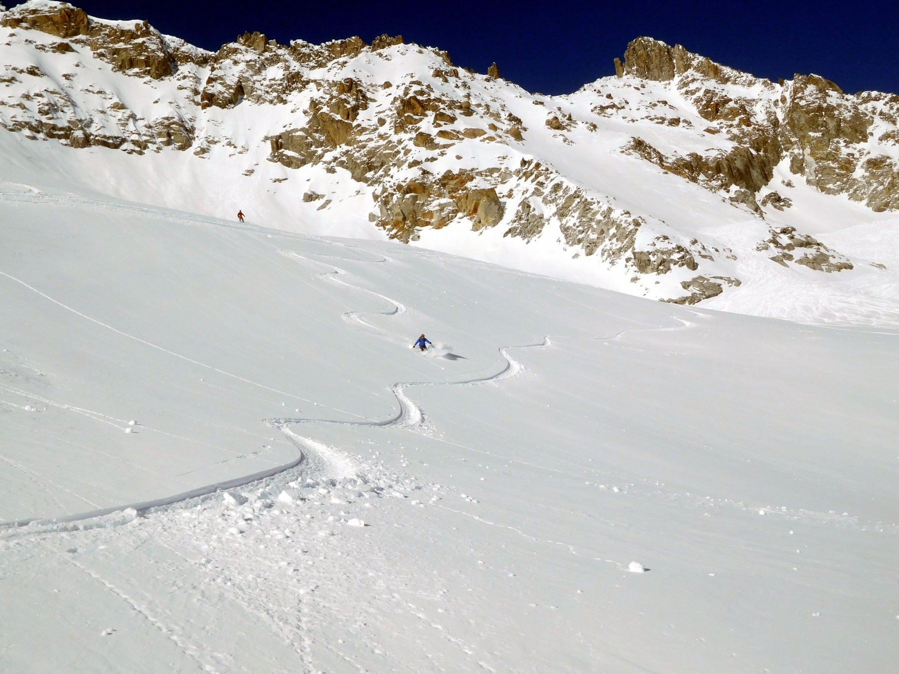
Toula (Colle Est di) ghiacciaio del Toula
 4.4Km
4.4Km
28/01/2014 AO, Courmayeur D+ 1500 m 3.2, - Varie
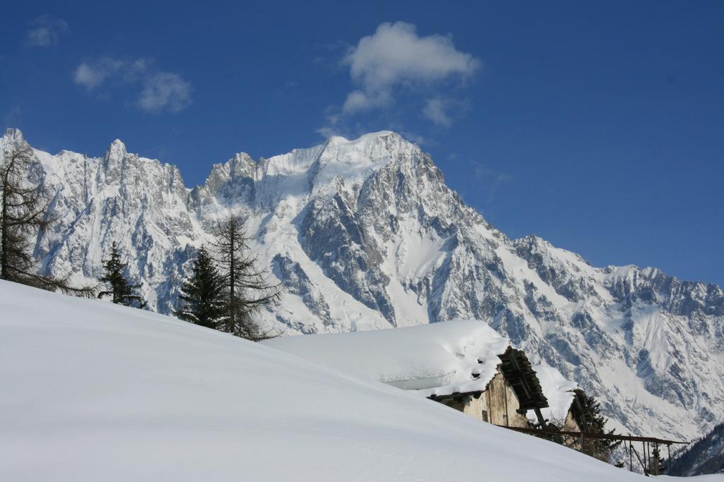
Courmayeur Vallone d’Arp – Dolonne
 7.4Km
7.4Km
02/12/2019 AO, Courmayeur D+ 1250 m 3.2, E1 Nord
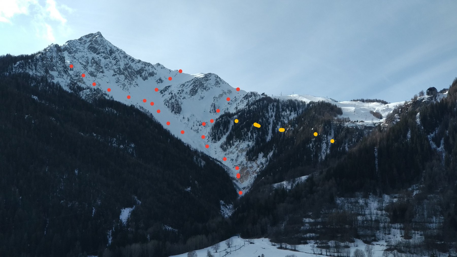
Dolonne (Canale di)
 8.3Km
8.3Km
03/03/2014 AO, Courmayeur D+ 1000 m 3.1, E1 Nord
Courmayeur Canali dei Vesses
9.6Km
12/03/2012 Haute-Savoie, Chamonix-Mont-Blanc D+ 1400 m 3.3, E1 Nord-Est
Gran Montets Vari
 14.8Km
03/01/2012 AO, La Thuile D+ 400 m 3.3, - Sud
La Thuile Bella Valletta
 15.1Km
25/01/2025 AO, La Thuile D+ 950 m 3.3, E3 Nord
La Thuile – Canale del Lelio
15.2Km
18/02/2017 AO, La Thuile 3.3, E1 Varie
La Thuile – Fuoripista zona Belvedere
19.7Km