3.5Km
3.5Km

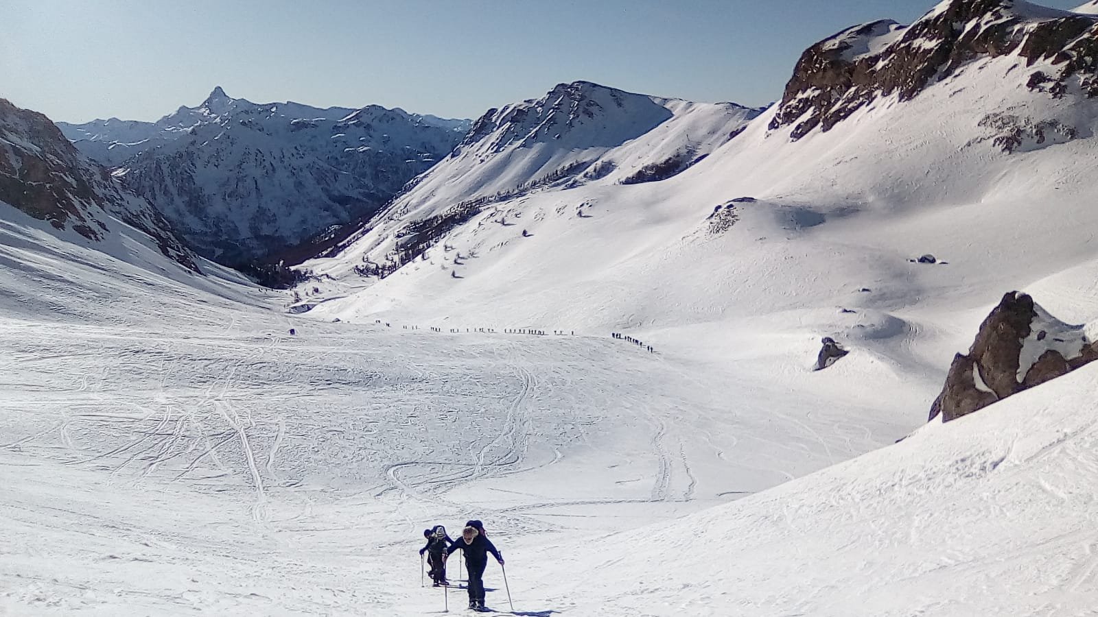
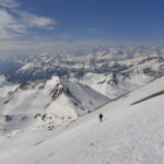
Avvicinamento
 50m
50m
50m
50m
50m
50m
50m
750m
50m
50m
50m
50m
50m
50m
50m
750m
3.5Km
4.9Km
6.4Km
6.4Km
6.4Km
6.5Km
7.7Km
9.4Km
9.9Km
.
Descrizione
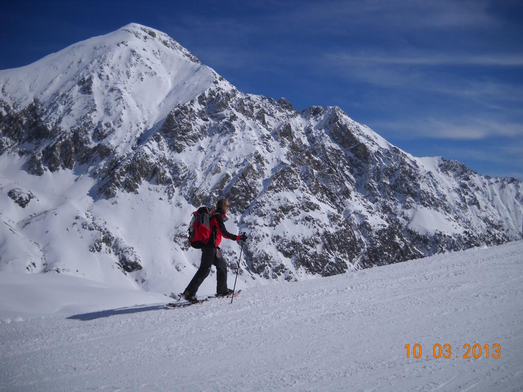
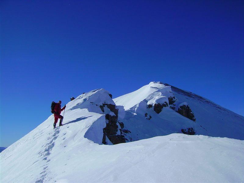
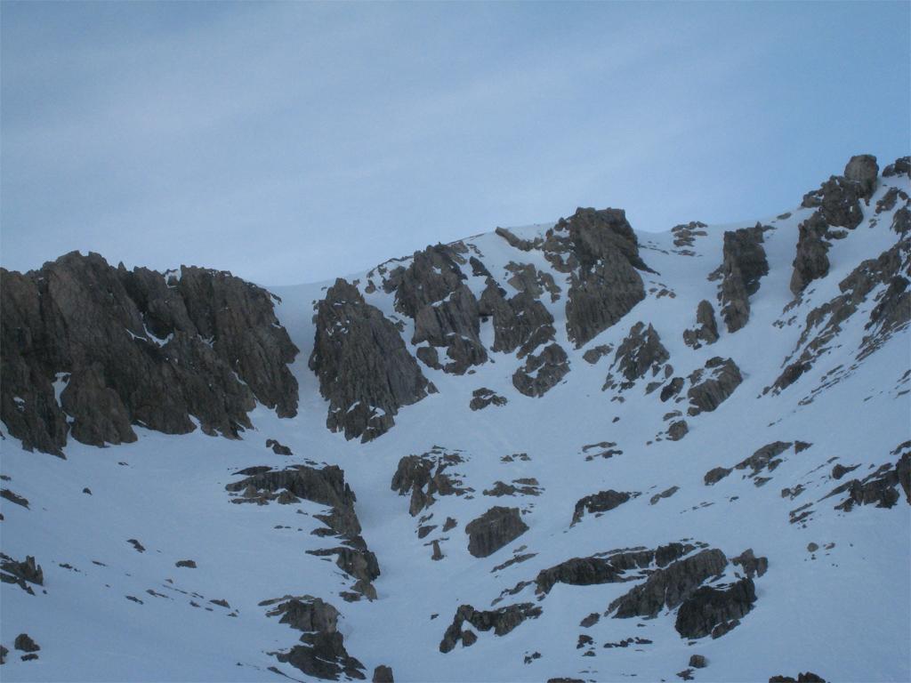
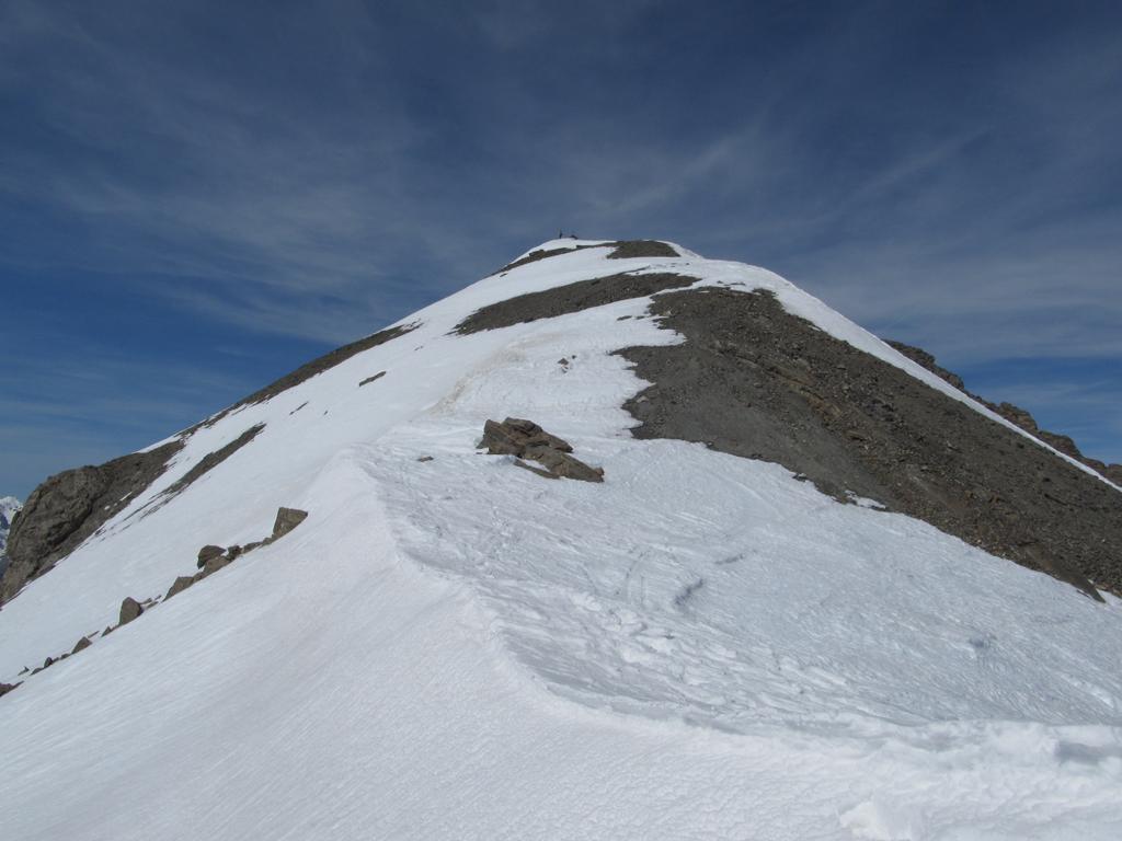
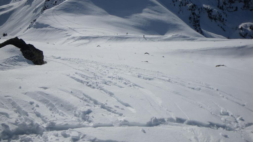
Intinerario praticamente uguale per andare al col des Trois Freres Mineurs,passando sotto la seggiovia che da il nome alle Roches Rouge si segue la pista fino all’arrivo della stessa.crestina finale
Nelle vicinanze Mappa
Itinerari
27/12/2018 Hautes-Alpes, Montgenèvre D+ 900 m BRA, F Varie
Lauzin (Pic du) da Montgenevre, anello per Col des Trois Freres Mineurs e Col Alpet
 50m
50m
23/03/2010 Hautes-Alpes, Montgenèvre D+ 1275 m BRA, PD- Tutte
Chaberton (Monte) da Montgenevre per i Canali O/SO della dorsale NO
 50m
50m
28/01/2024 Hautes-Alpes, Montgenèvre D+ 1350 m BR Varie
Chaberton (Monte) da Montgenèvre
 50m
50m
16/02/2025 Hautes-Alpes, Montgenèvre D+ 726 m MR Sud
Trois Freres Mineurs (Col des) da Montgenevre
 50m
50m
28/11/2006 Hautes-Alpes, Montgenèvre D+ 1330 m OR Varie
Chalanche Ronde (Pointe de) da Montgenèvre per il Passo dell’Asino
50m
05/01/2020 Hautes-Alpes, Montgenèvre D+ 1500 m BRA Varie
Rochers Charniers (Pointe des) da Montgenevre, giro per Pian dei Morti e Colle dello Chaberton
 50m
50m
17/02/2024 Hautes-Alpes, Montgenèvre D+ 1207 m BR Sud-Ovest
Rochers Charniers (Pointe des) da Montgenèvre
 50m
50m
21/03/2024 Hautes-Alpes, Montgenèvre D+ 1250 m BRA, F+ Varie
Malapas o Marapa (Rochers de) da Montgenèvre
50m
23/11/2014 Hautes-Alpes, Montgenèvre D+ 1350 m BRA, F Nord
Rochers Charniers (Pointe des) e Pointe de Chalanche Ronde da Montgenèvre
 50m
50m
18/11/2012 Hautes-Alpes, Montgenèvre D+ 750 m BR Nord-Ovest
Plane (Monte la) da Montgenevre
 750m
750m
Servizi
3.5Km
4.9Km
La vachette Bar
Montgenèvre
6.4Km
Casa Cesana Bar
Cesana Torinese
6.4Km
L’Ibarus Rifugio
Cesana Torinese
6.4Km
Piergiorgio Frassati B&B
Cesana Torinese
6.5Km
Ottima Scelta Ristorante
Cesana Torinese
7.7Km
Terre Rouge Rifugio
Cervières
9.4Km
Centro Ristorante
Cesana Torinese
9.9Km