200m
200m
Note
 50m
50m
50m
50m
2Km
2Km
2Km
2Km
2Km
5Km
50m
50m
50m
50m
2Km
2Km
2Km
2Km
2Km
5Km
200m
300m
1.8Km
4.9Km
5.2Km
5.3Km
5.3Km
6.1Km
6.4Km
7.5Km
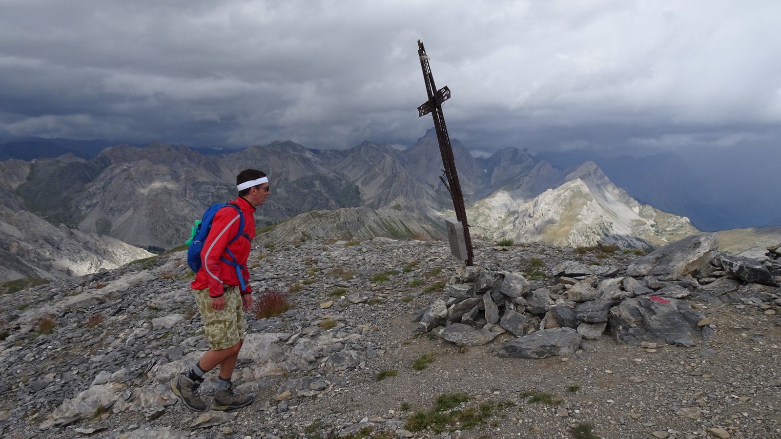
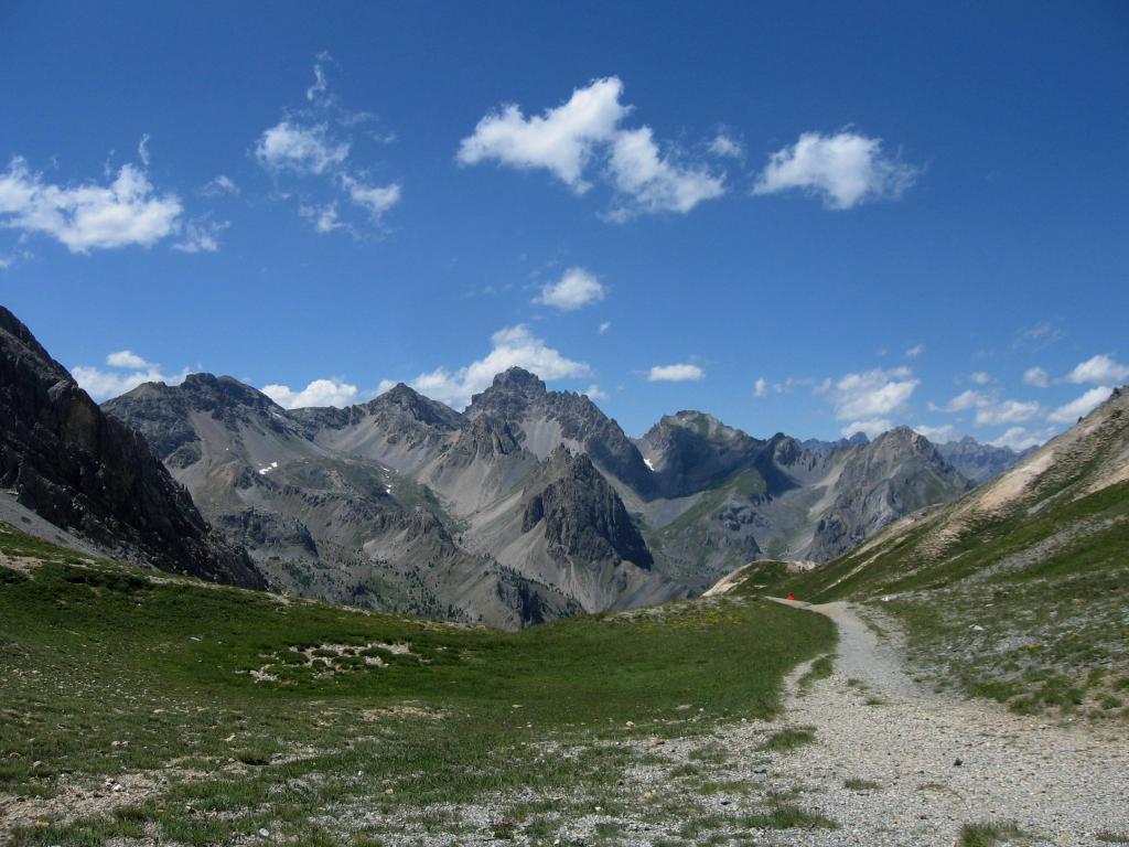
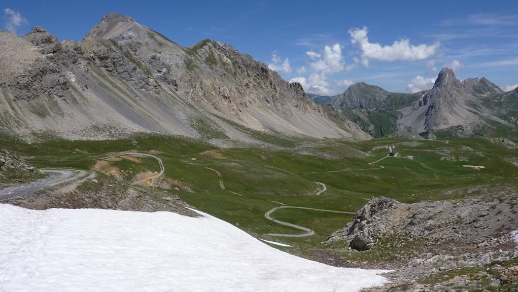
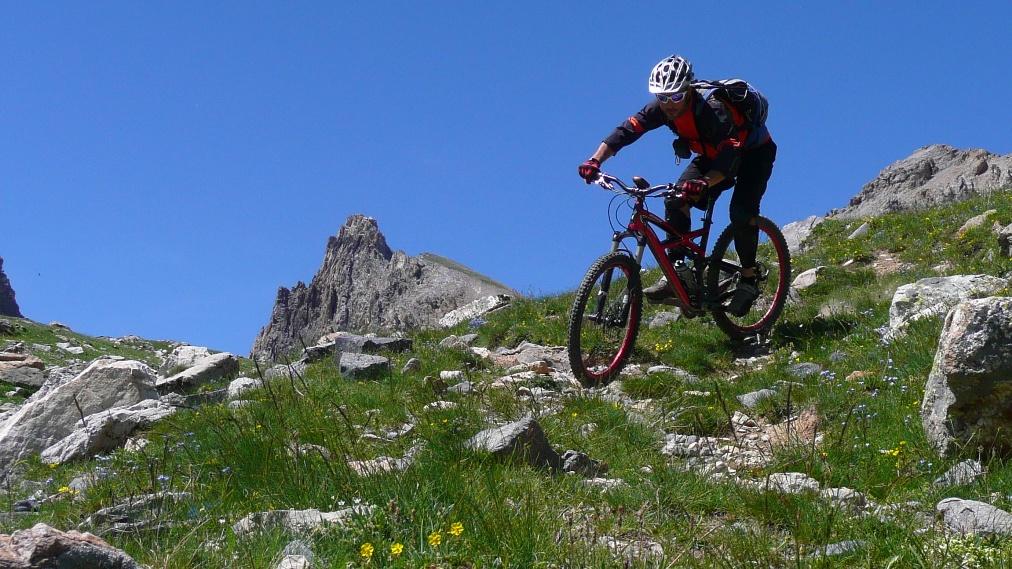
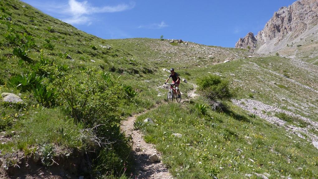
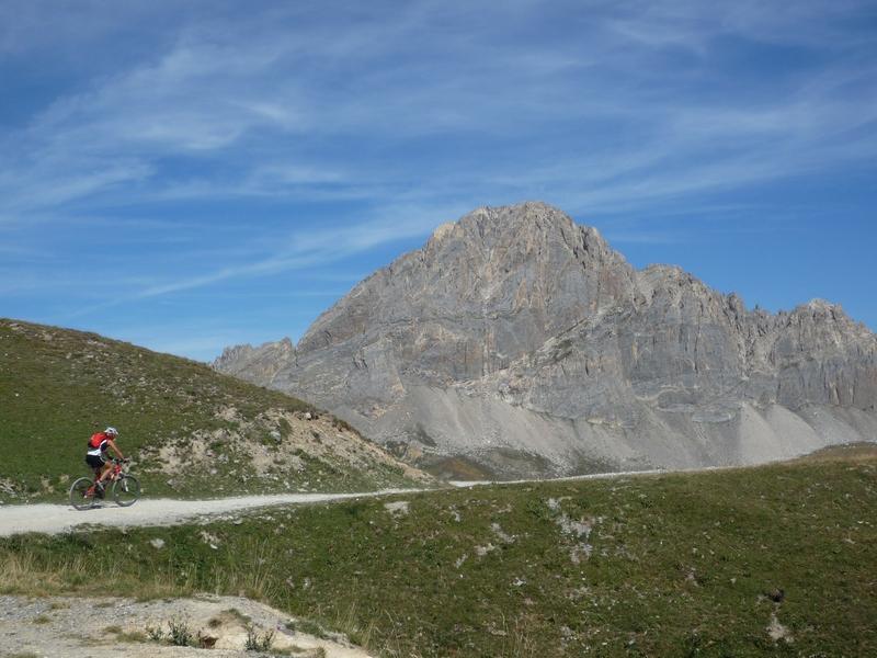
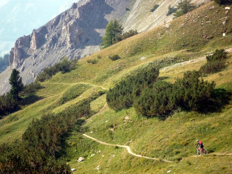
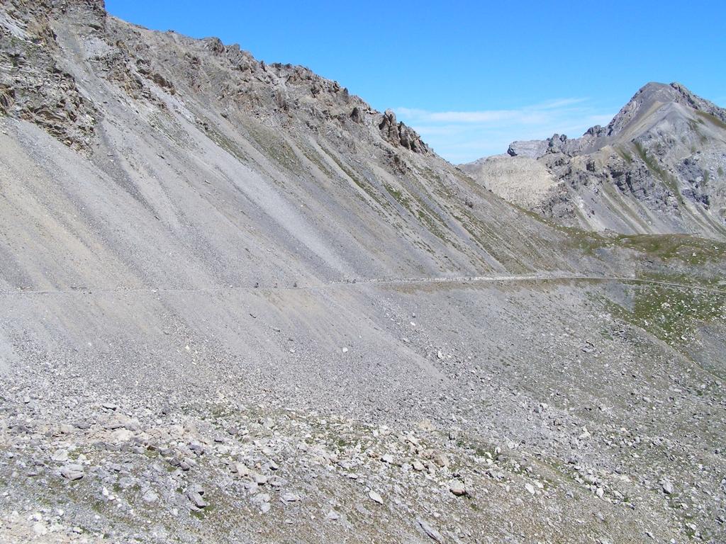
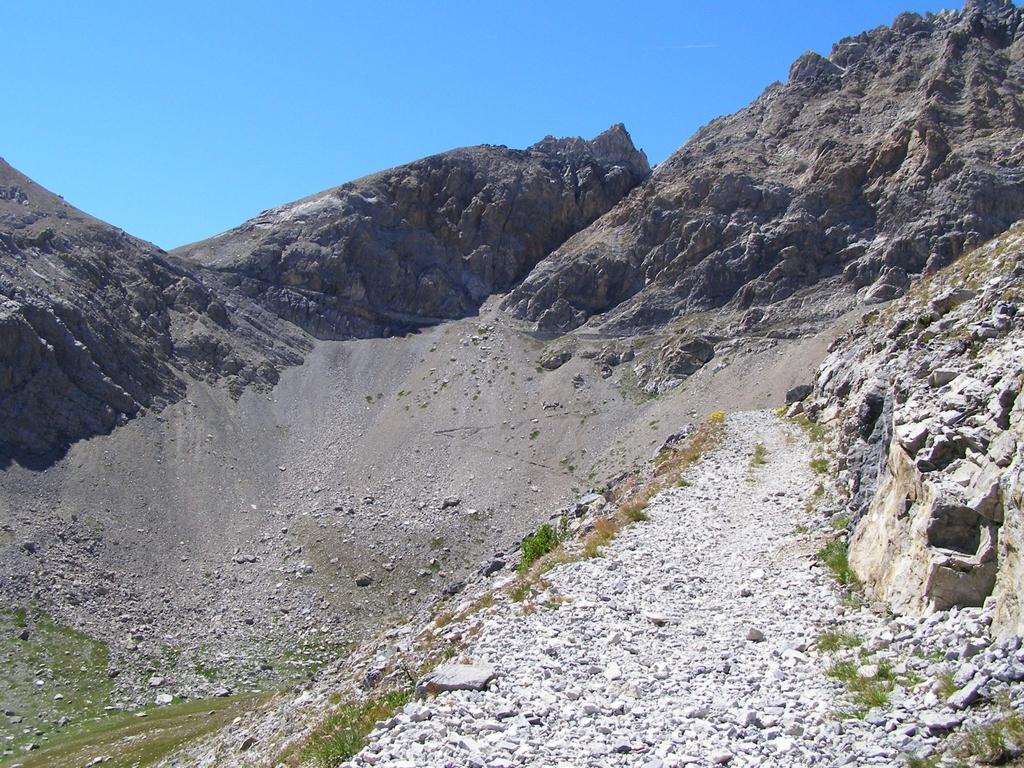
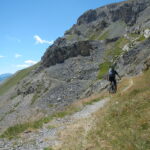
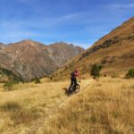
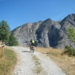
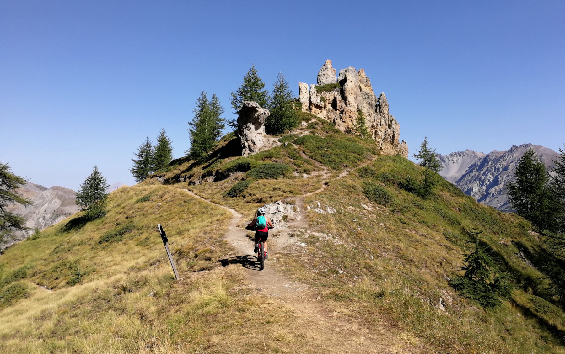
Giro ad anello quasi totalmente ciclabile, in ambiente di alta montagna, con discesa finale divertente con passaggi tecnici e tratti scorrevoli.
Avvicinamento
Fino a Pietraporzio
Descrizione
Da Pietraporzio scendere lungo la statale, imboccare la seconda strada a sx (cartello per il colle del Vallonetto) che asfaltata e abbastanza ripida a Moriglione S. Lorenzo (la prima arriva al cimitero).
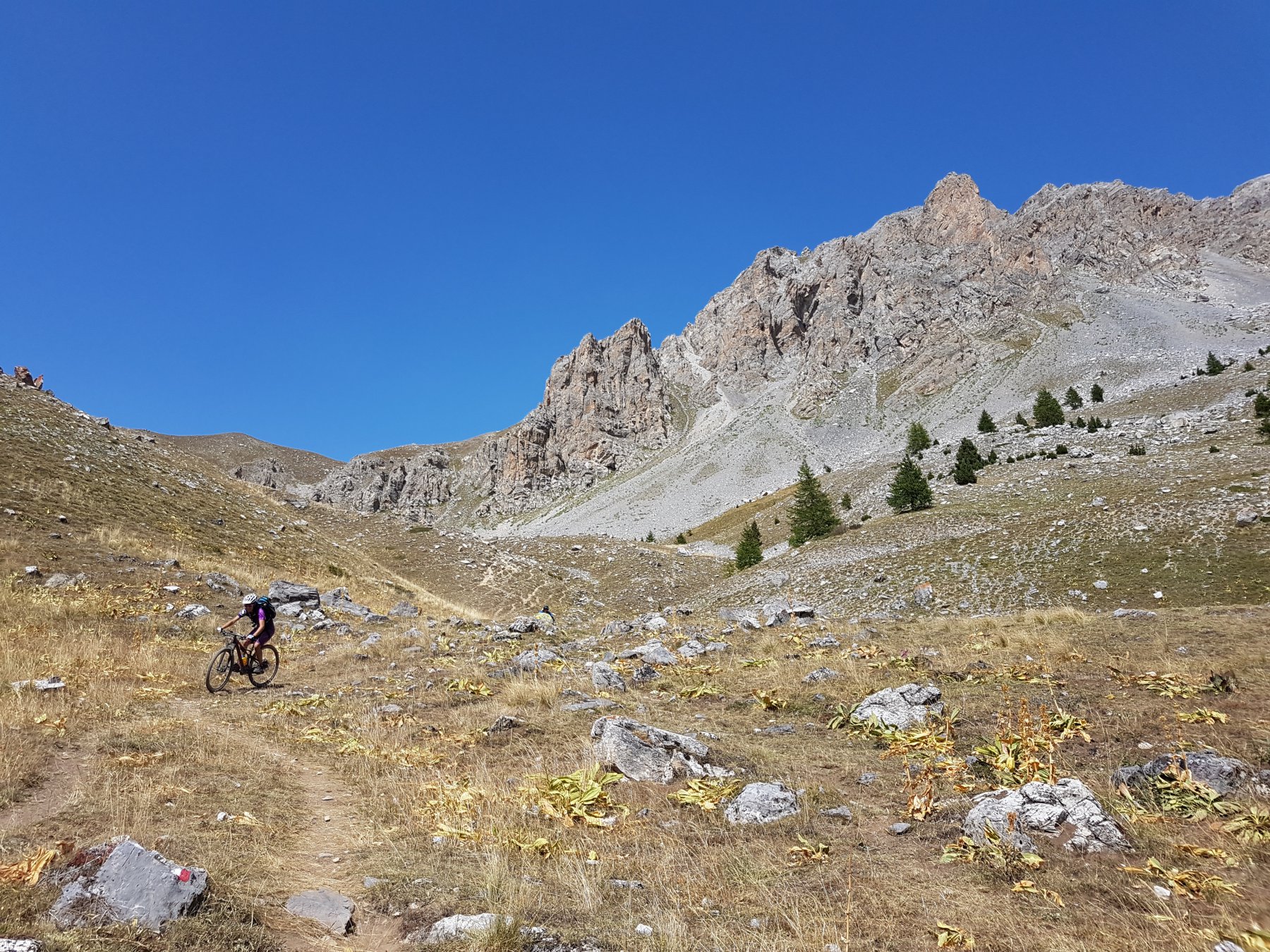
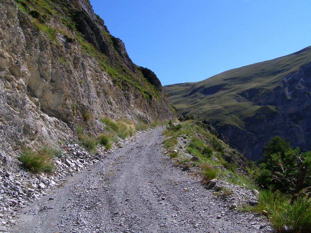
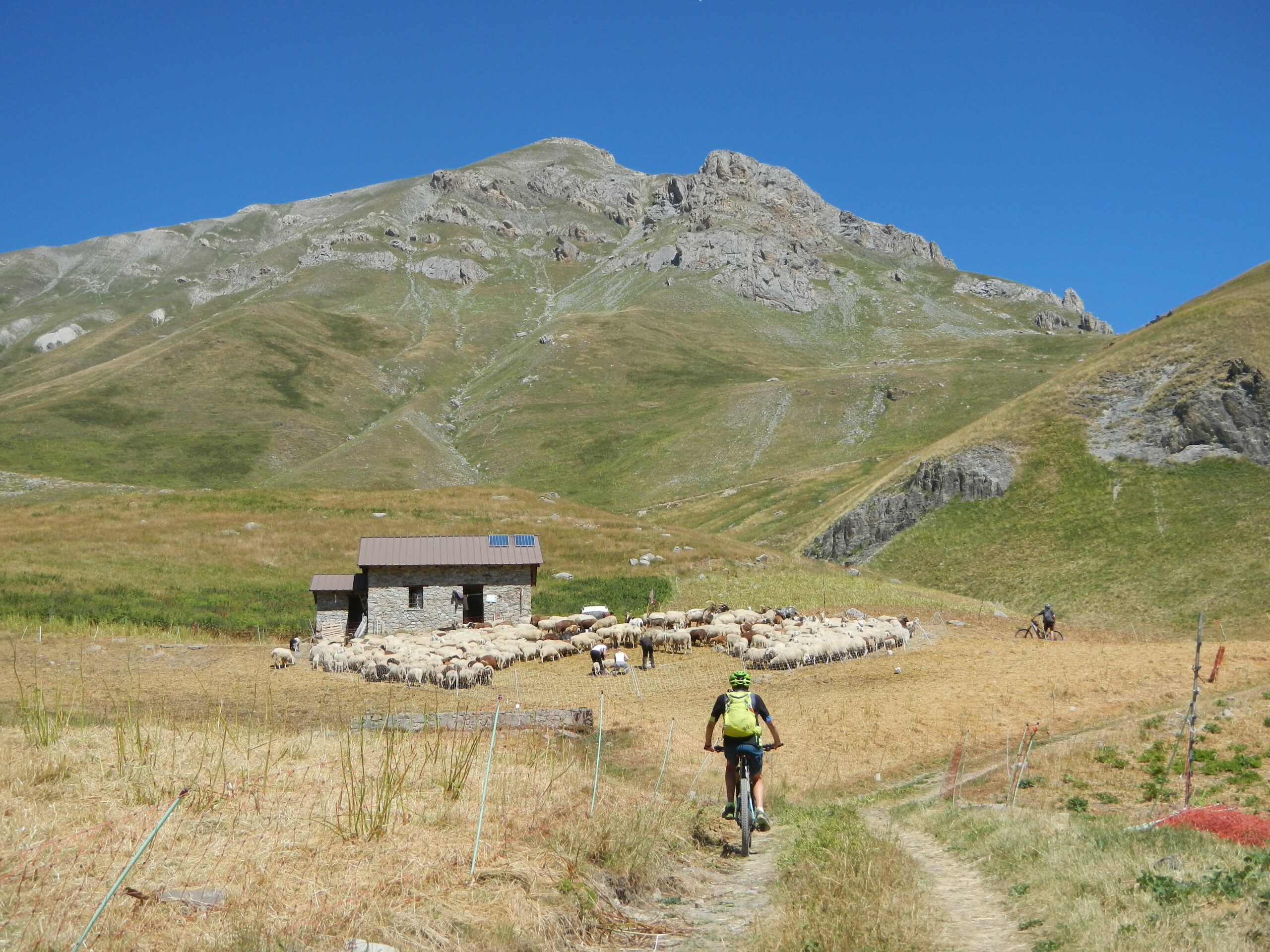
Giunti a Moriglione, prendere a sx la strada sterrata che sale al colle di Salsas Blancias passando per il gias Vallonetto.
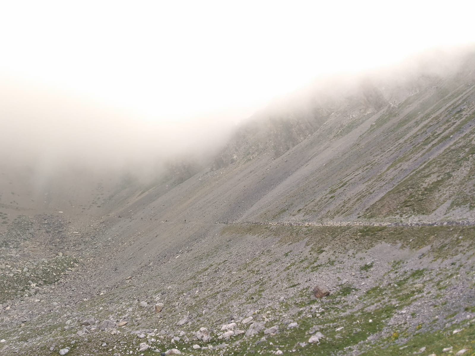
Il tratto di sterrata fino al Gias Vallonetto è ottimo, buon fondo e pendenze regolari e mai troppo sostenute. Il tratto di strada che sale da Gias Vallonetto al colle Salsas Blancias (non indicato sulla cartina in quanto di recente costruzione) non è il massimo, il fondo peggiora a tratti e si alternano rampe durissime a tratti molto facili.
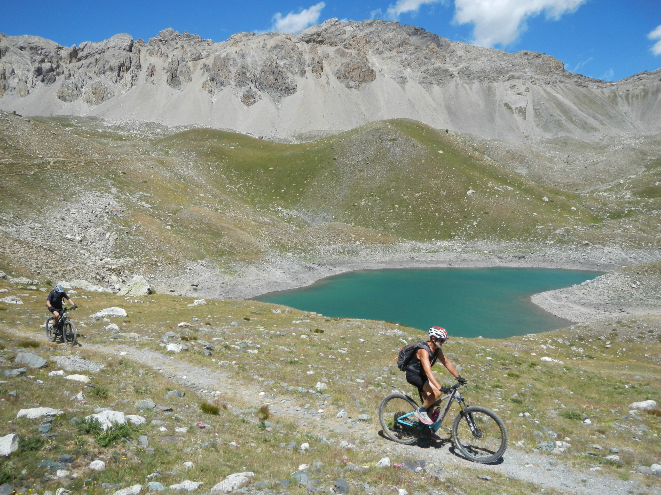
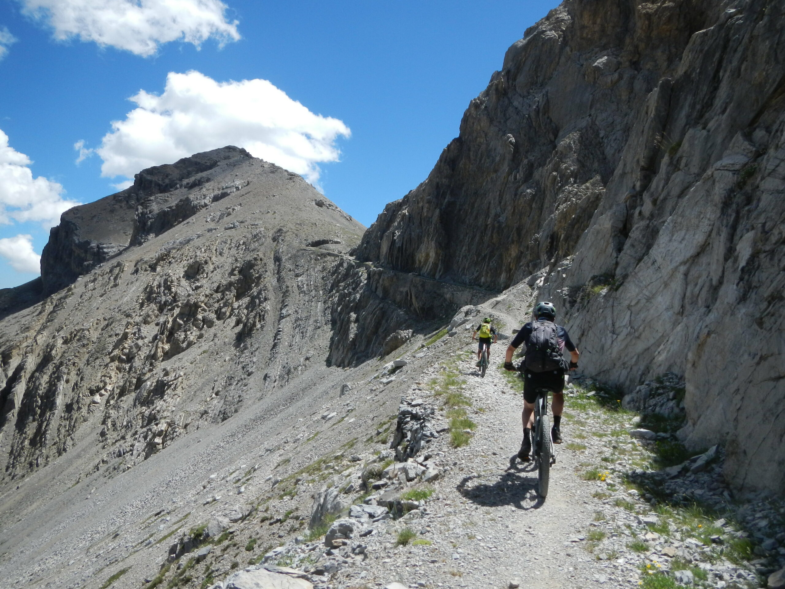
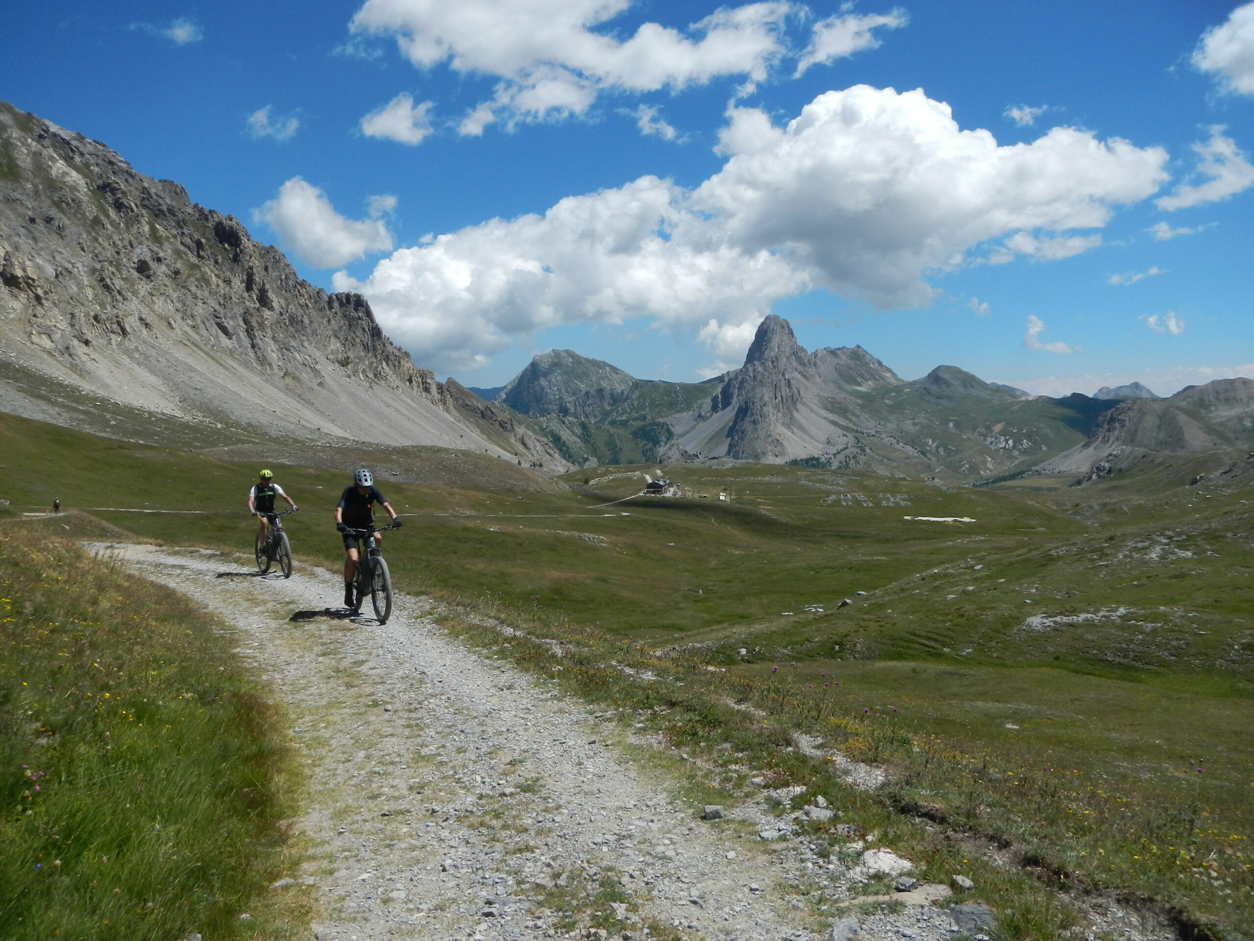
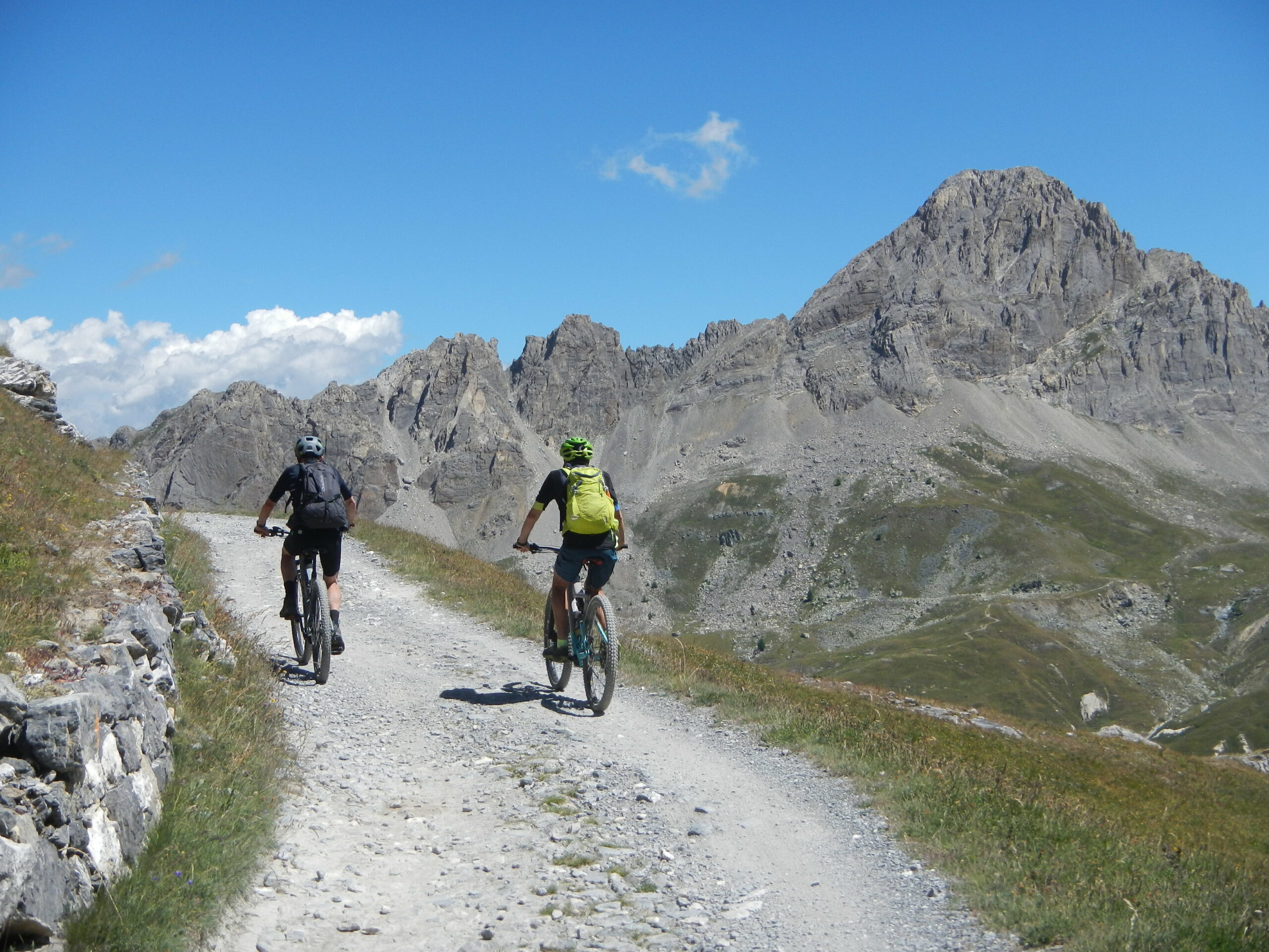
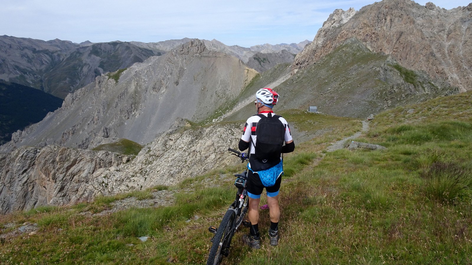
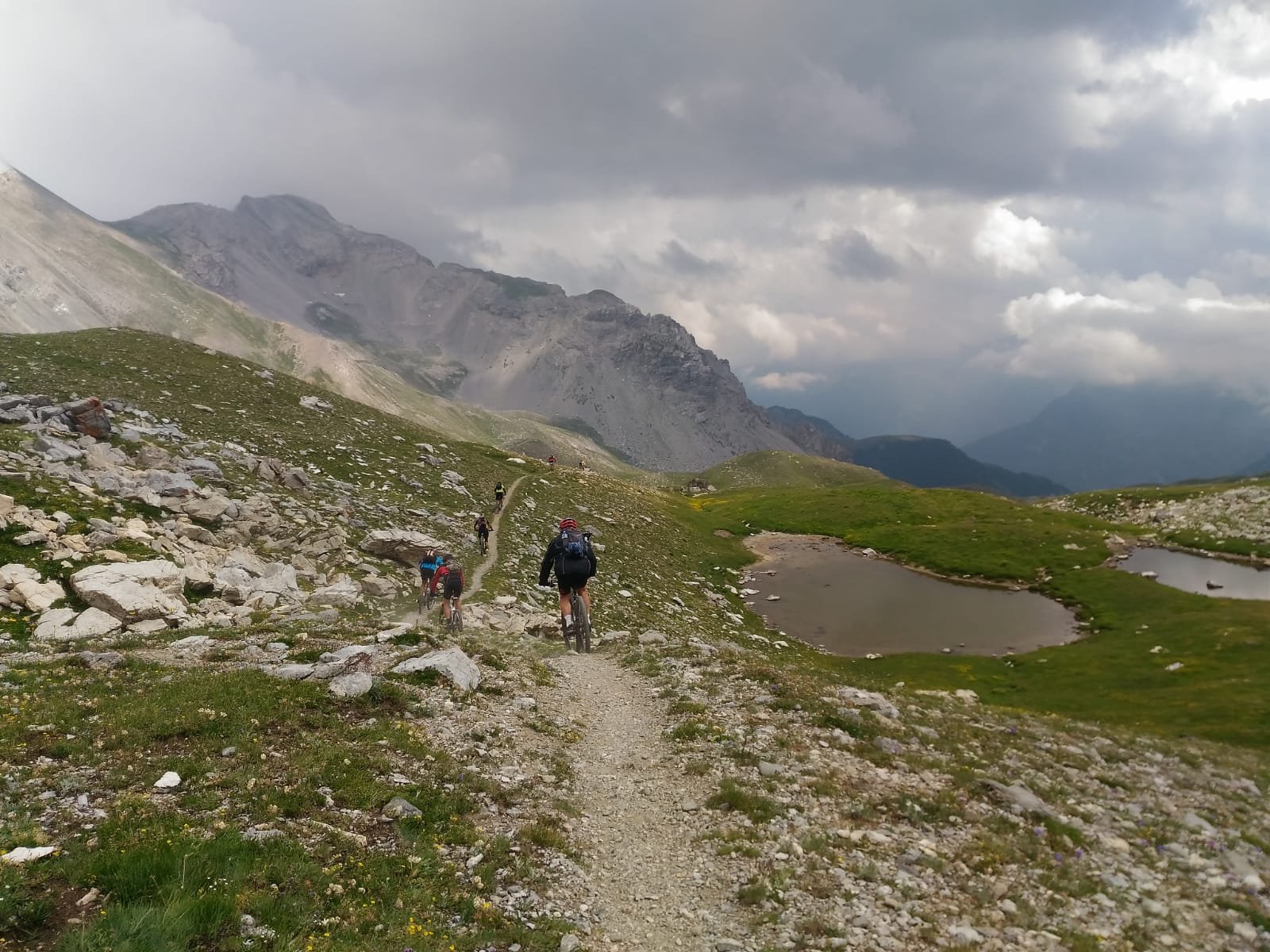
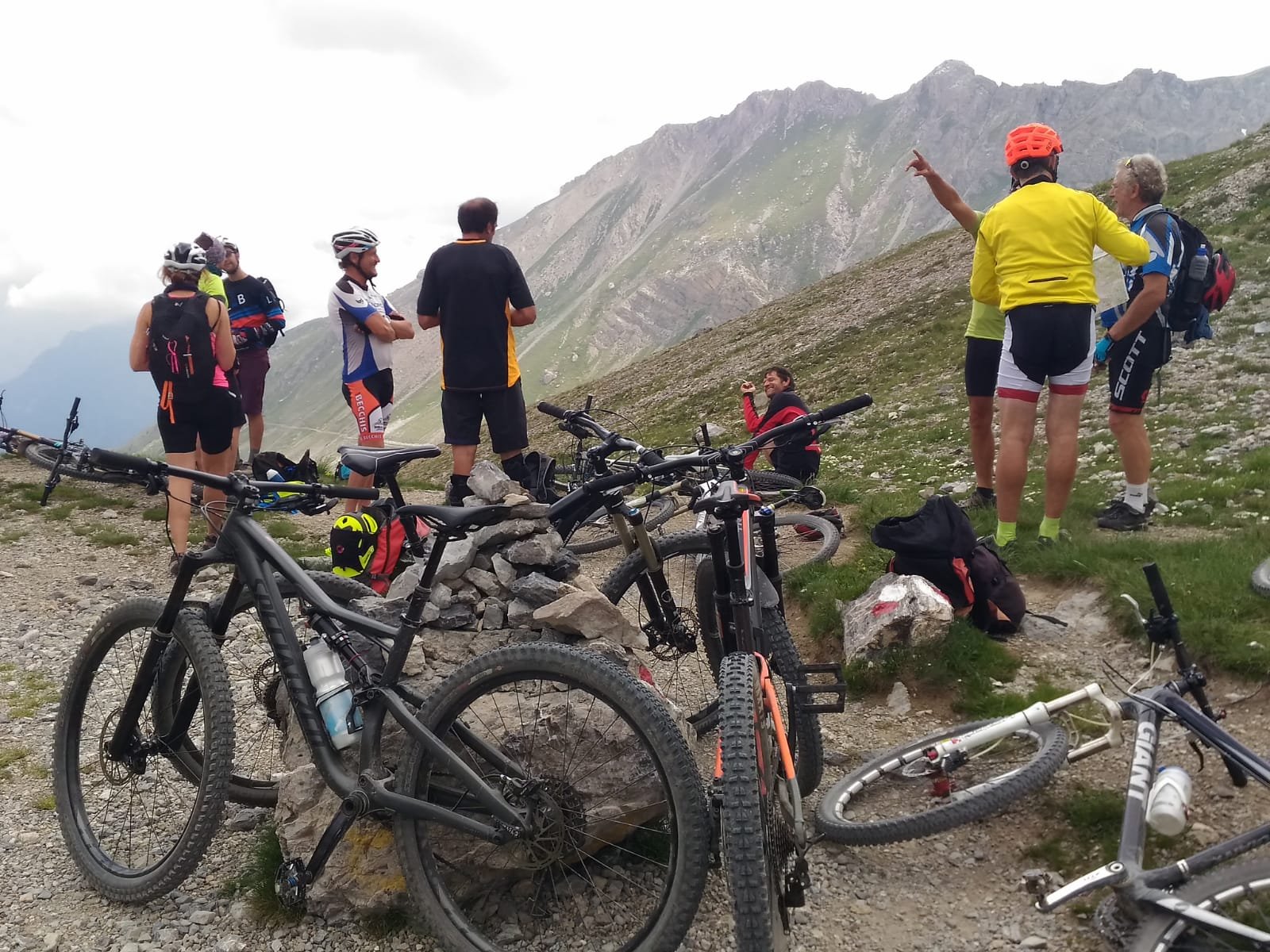
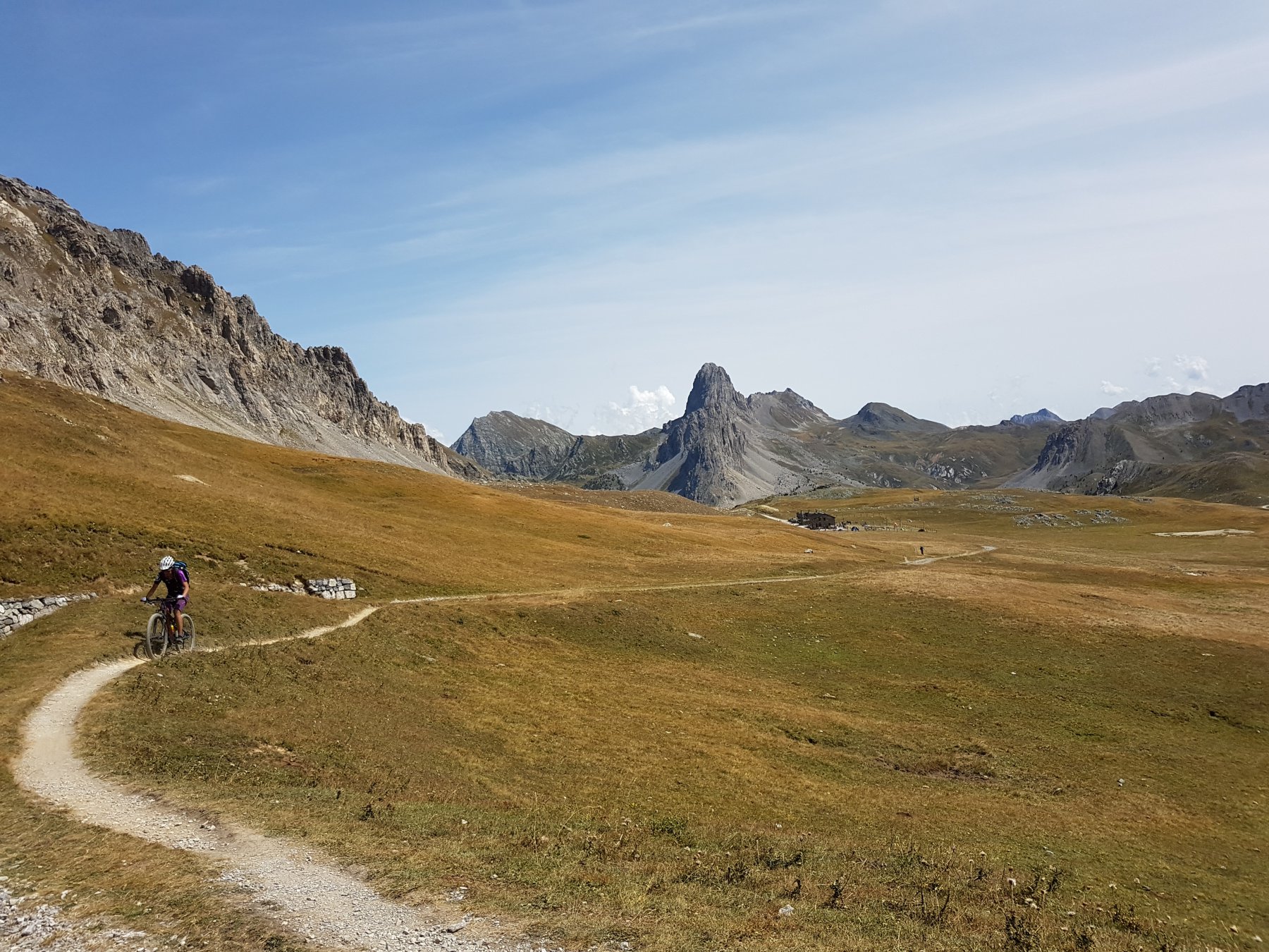
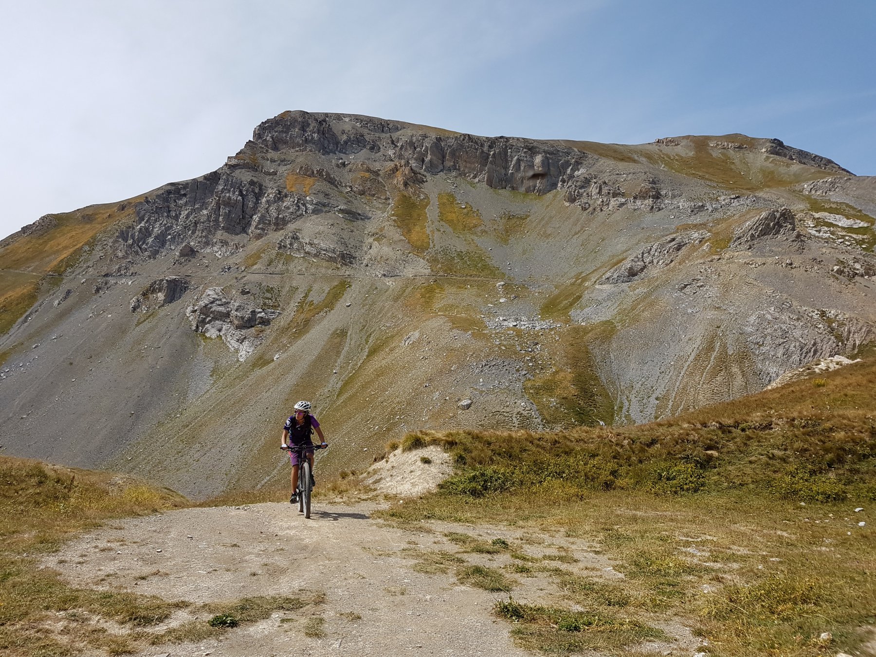
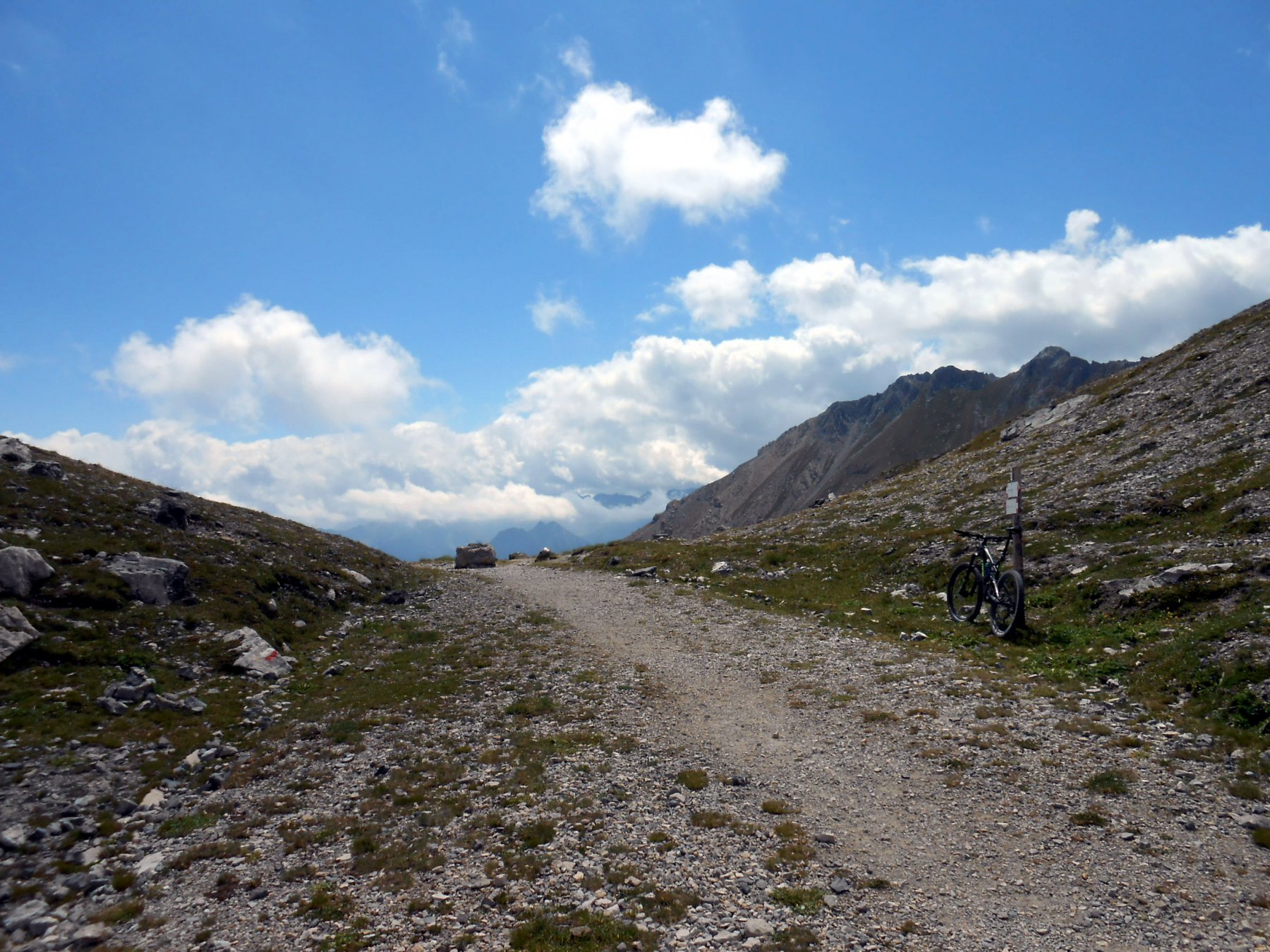
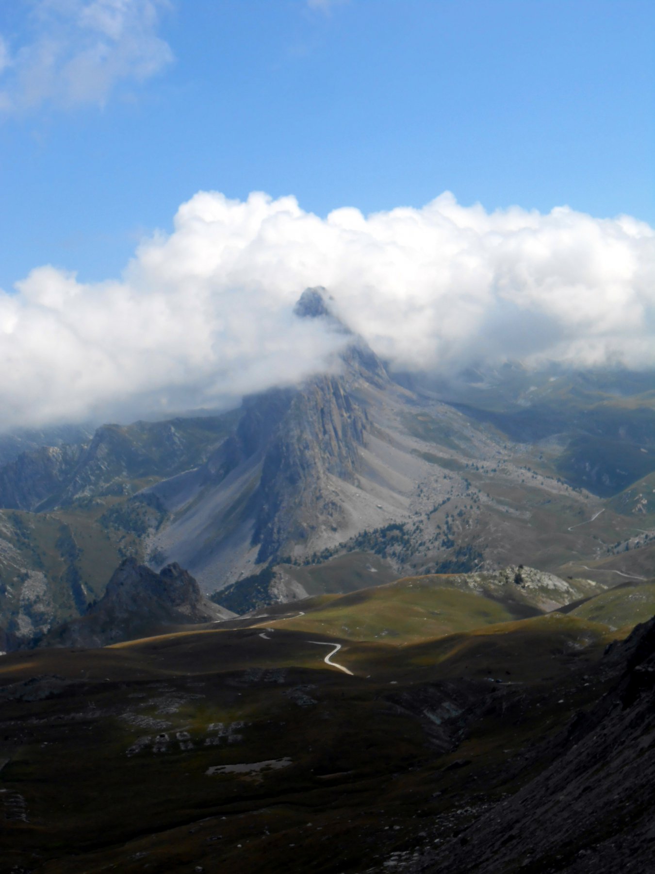
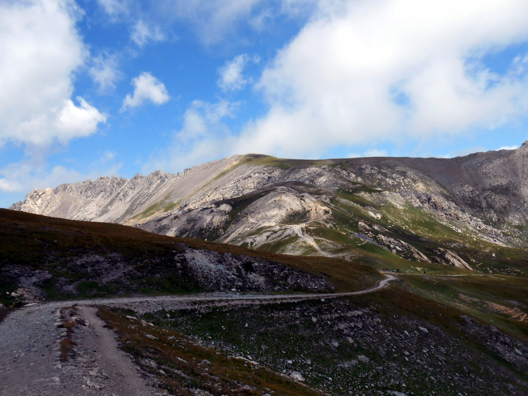
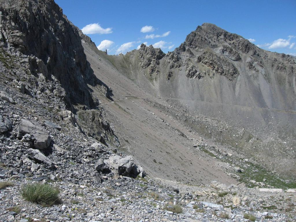
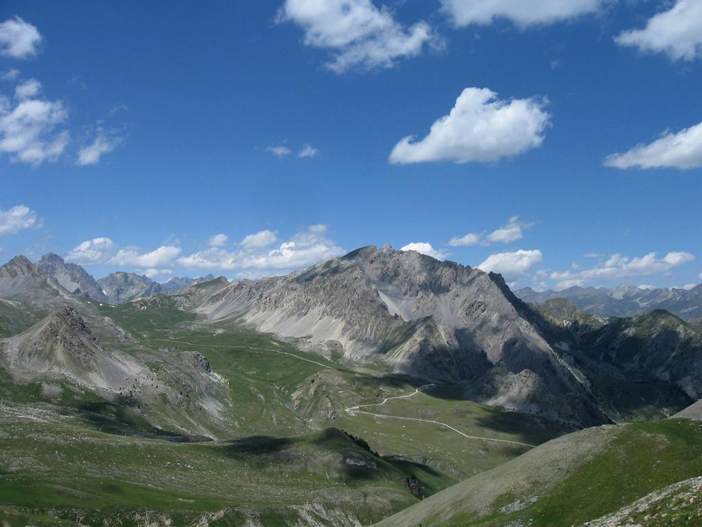
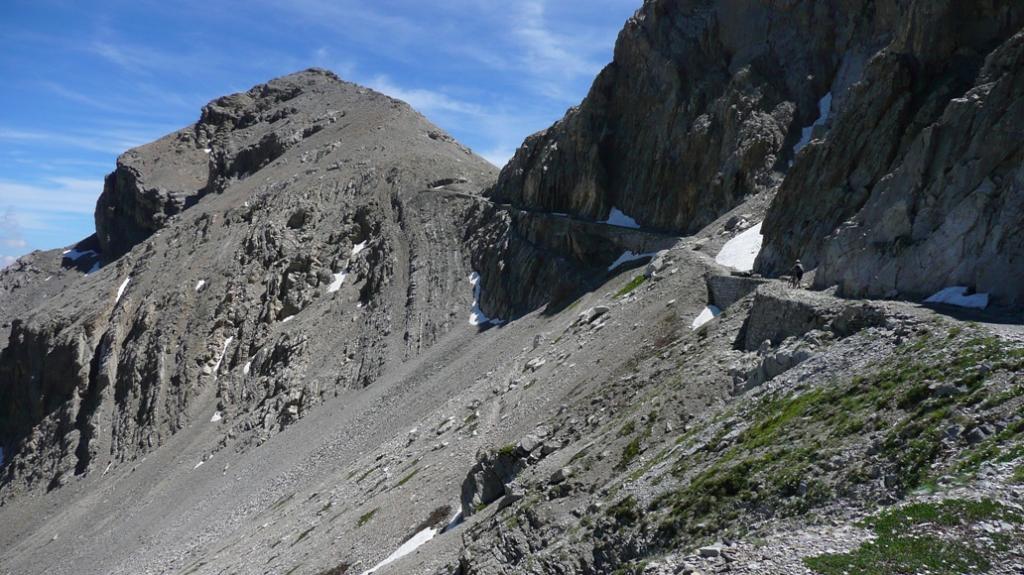
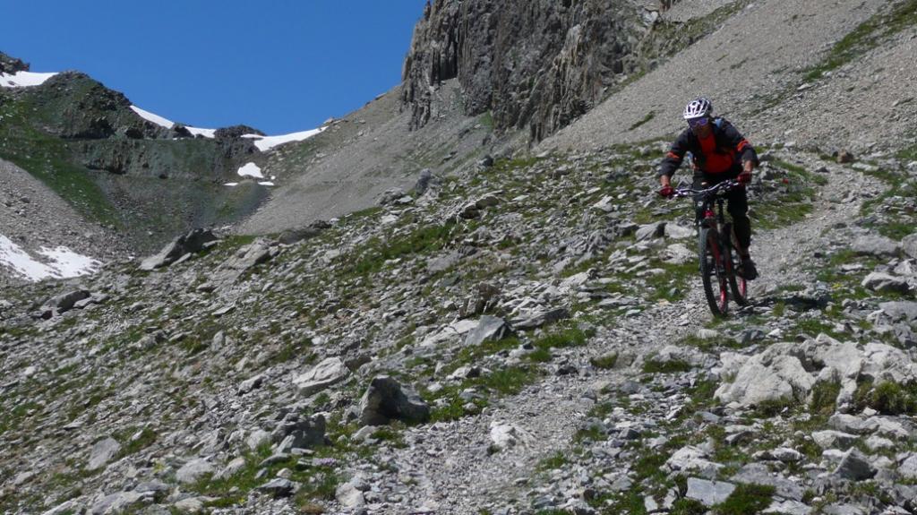
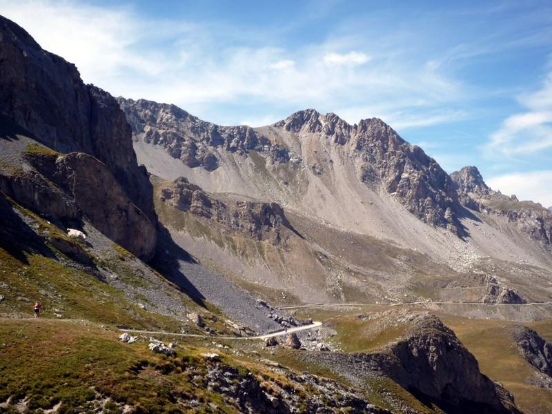
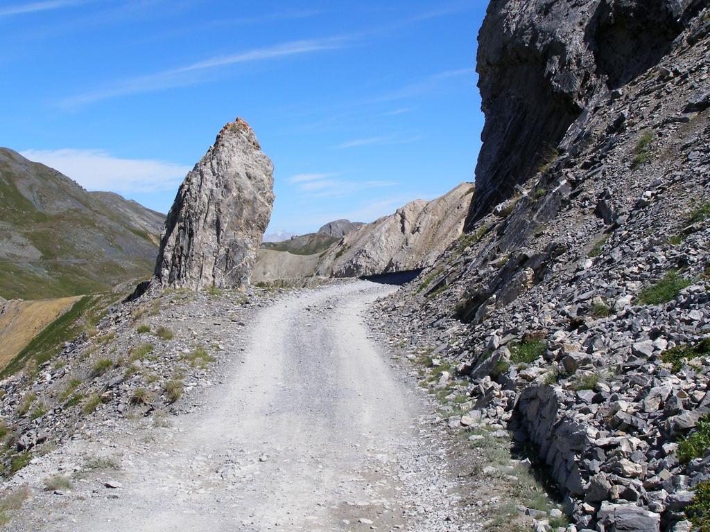
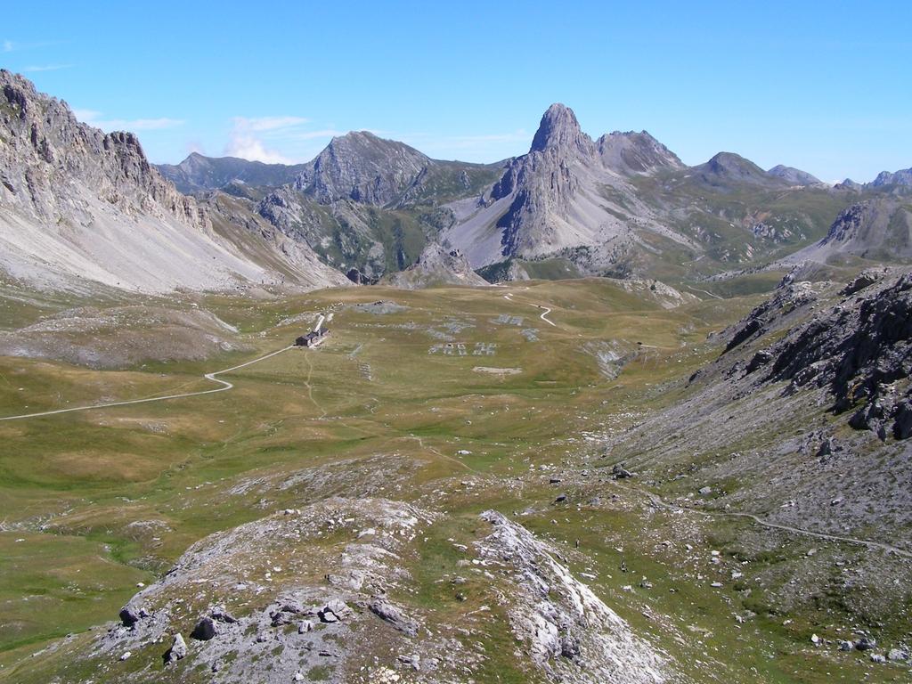
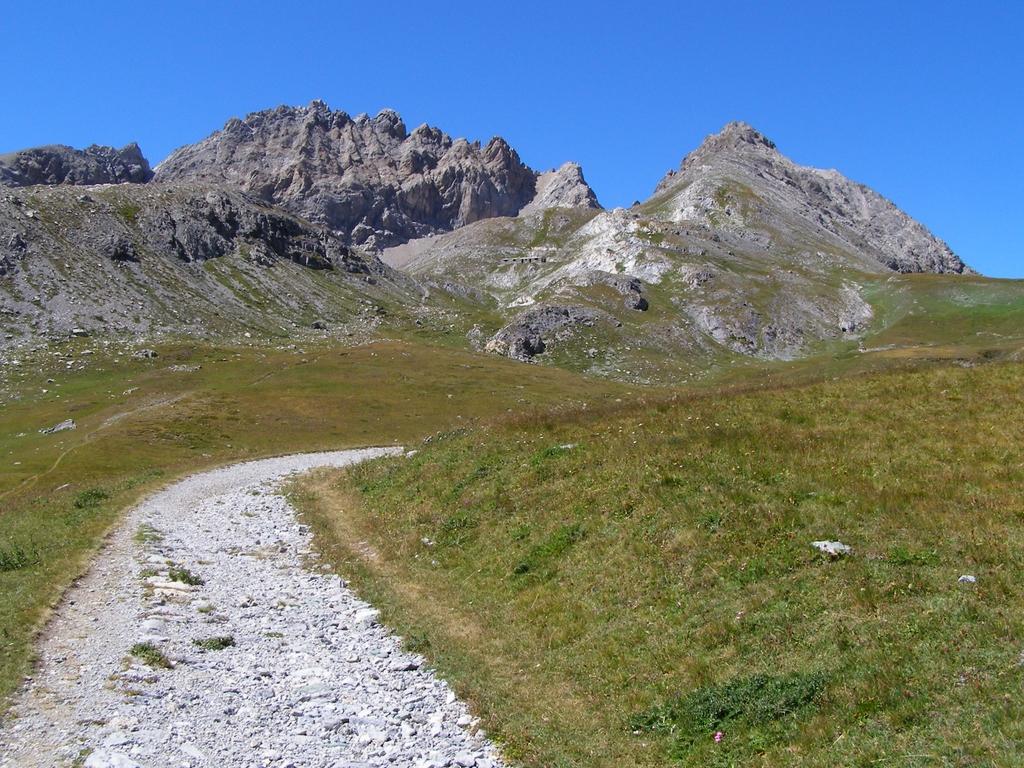
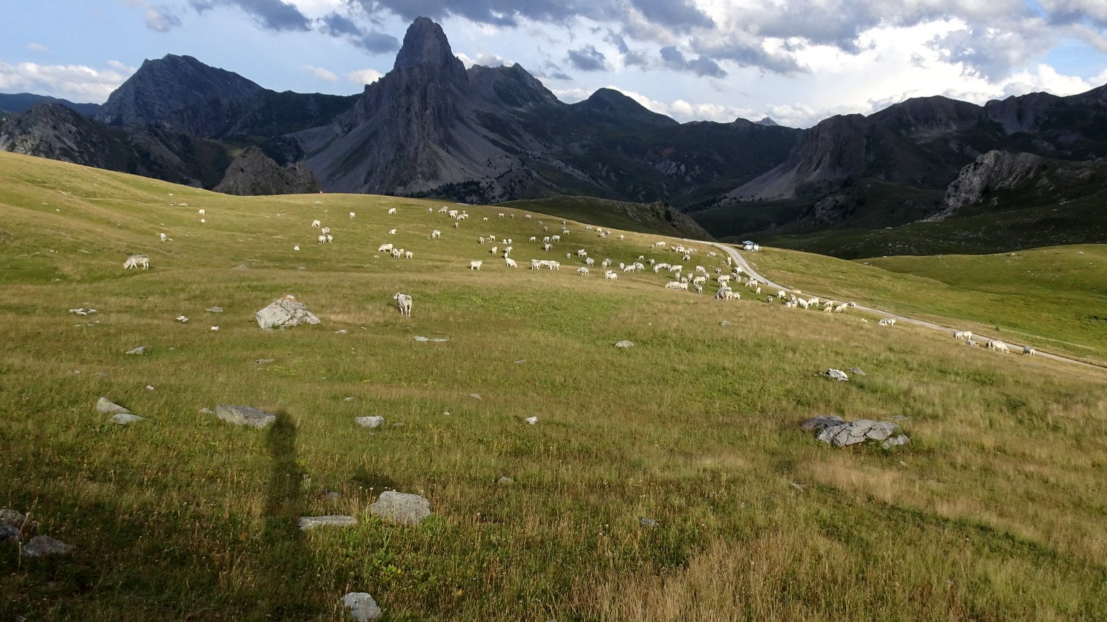
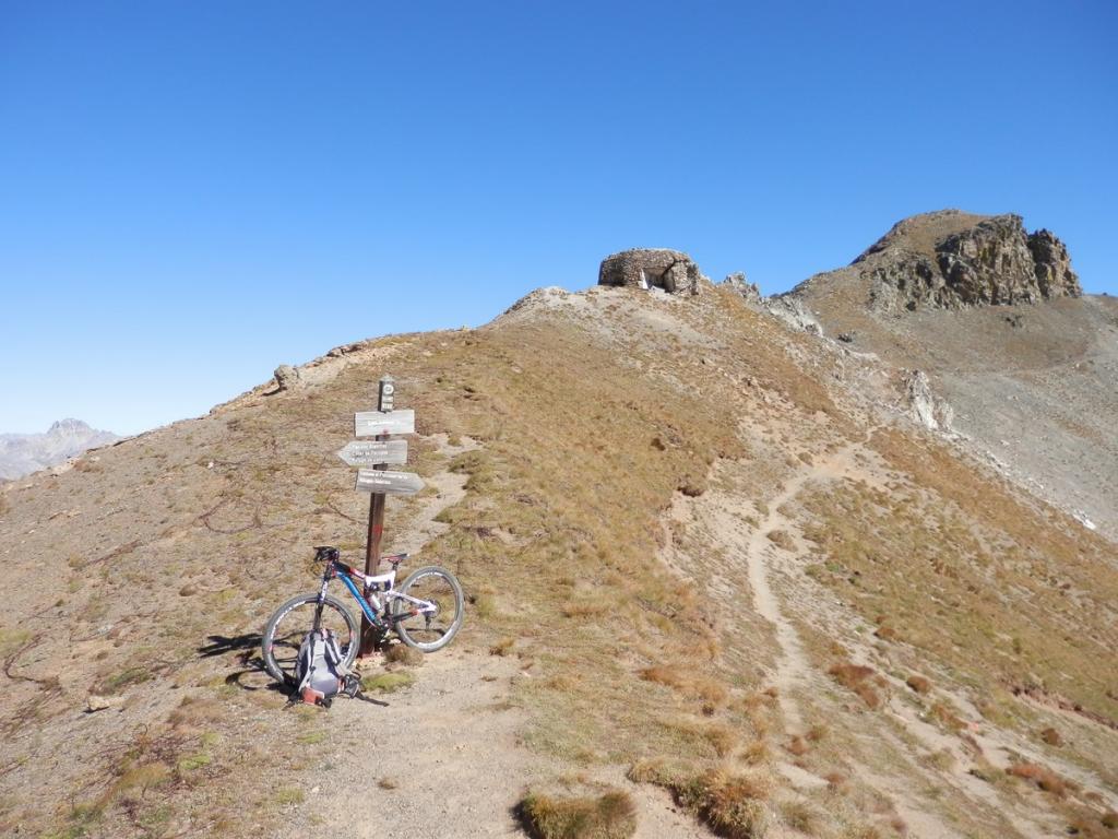
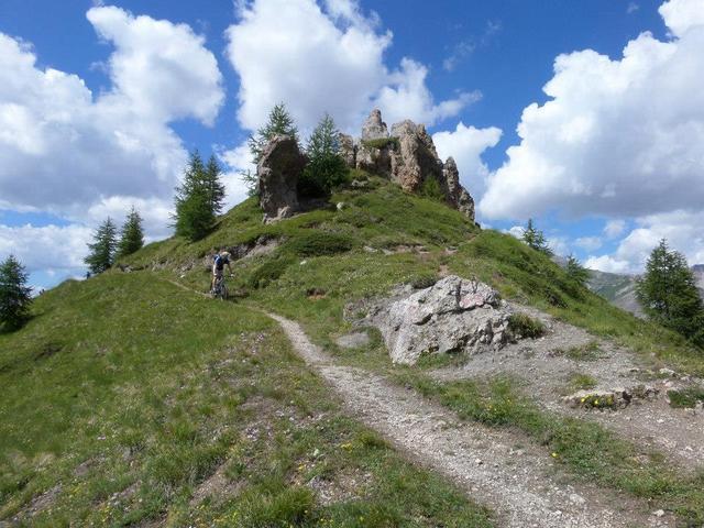
Giunti al colle scendere di pochi metri imboccando la strada che arriva dal Colle di Valcavera, girare a sx percorrendo dall’alto il maestoso altipiano di Rocca la Meja. In leggera discesa si arriva al bivio per il Rifugio Gardetta.
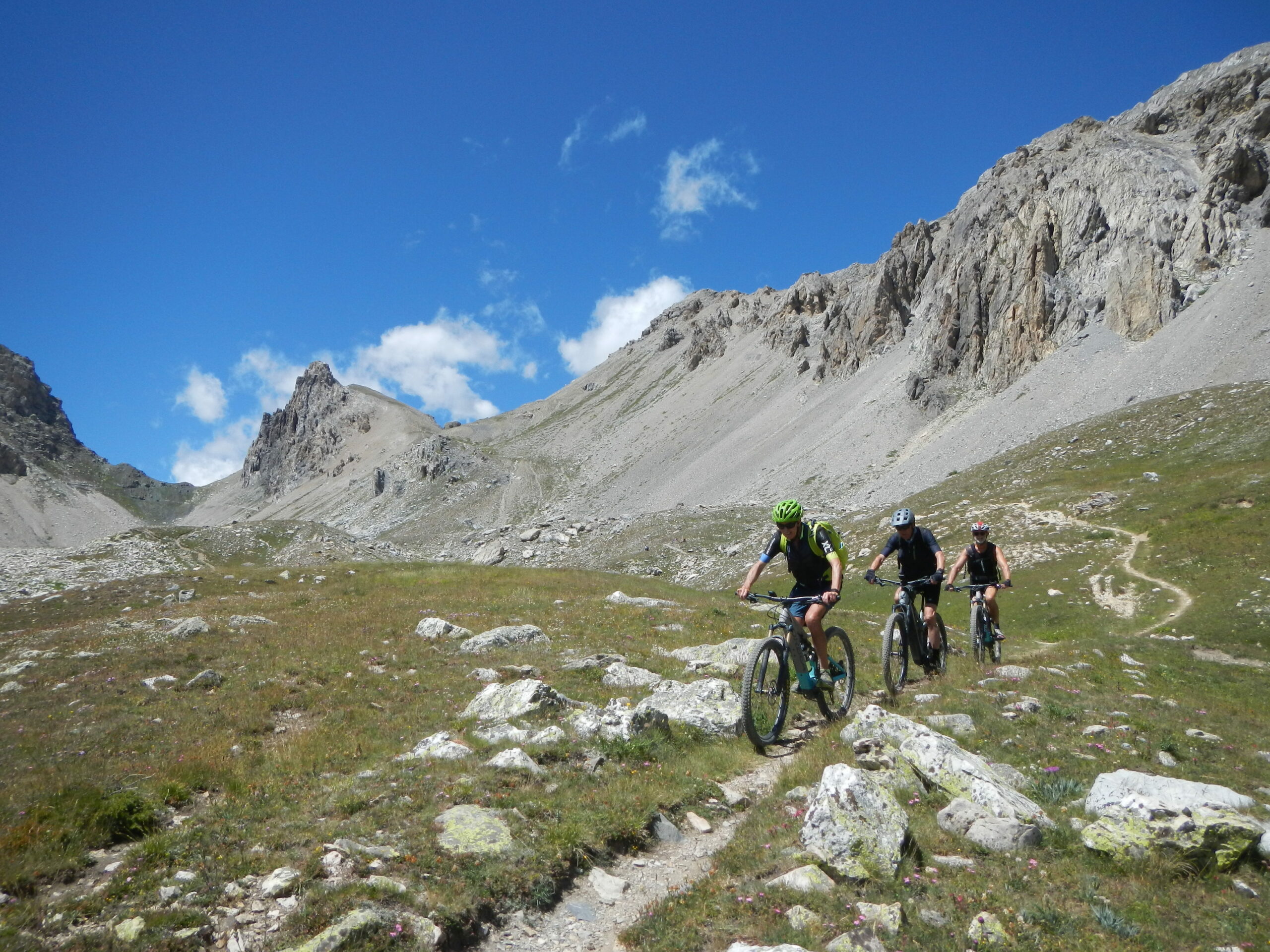
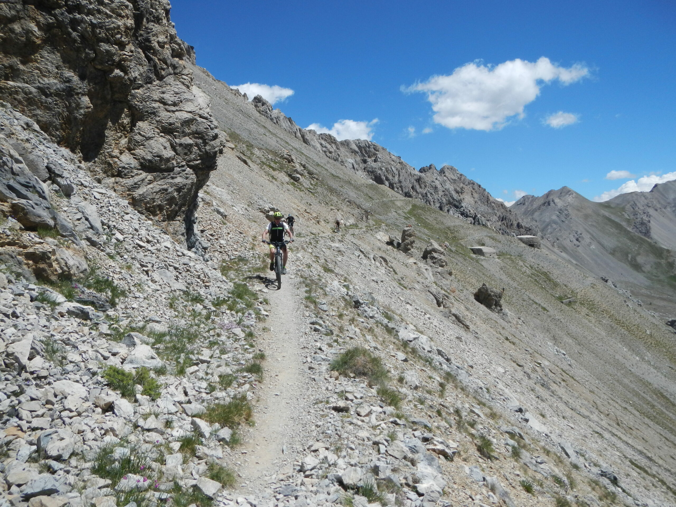
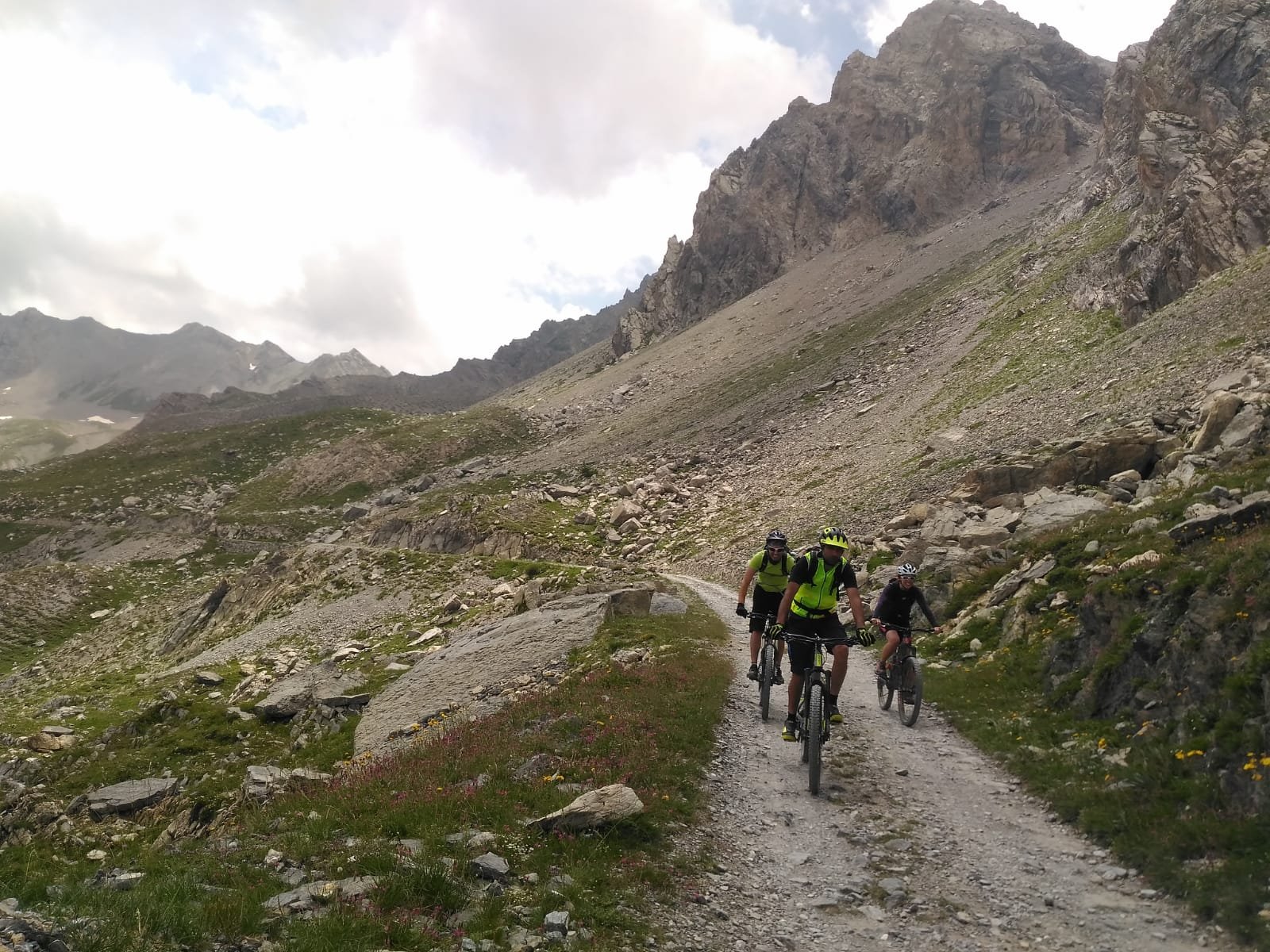
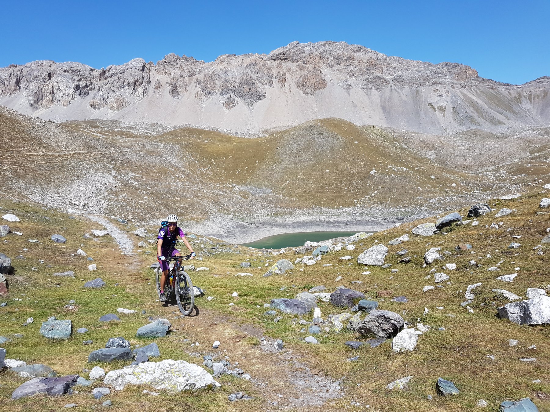
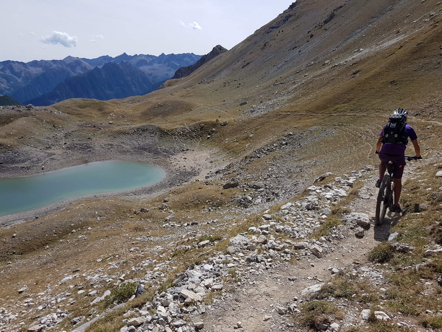
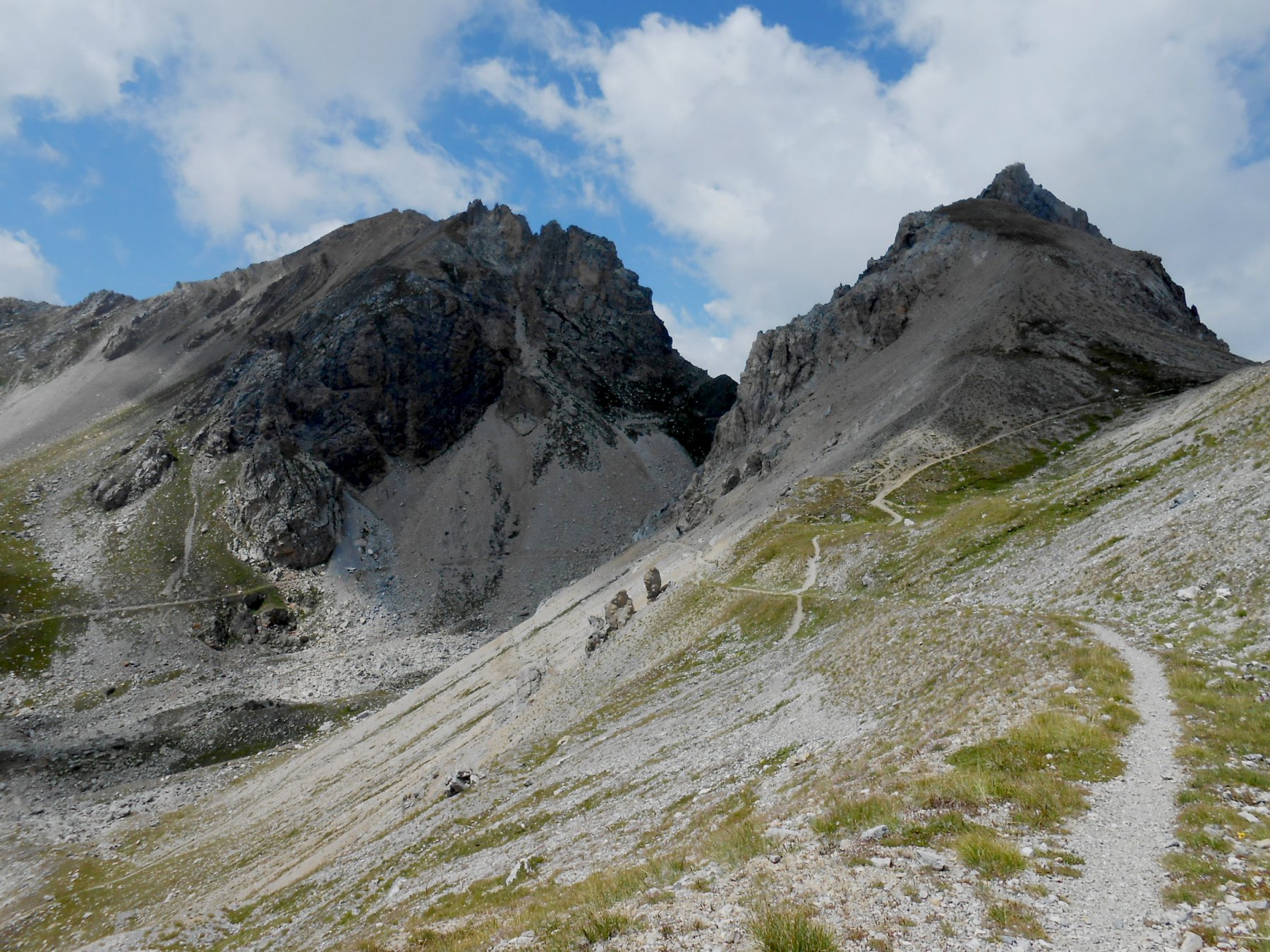
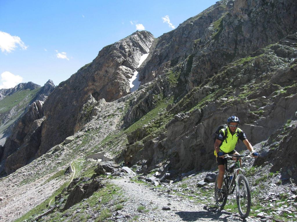
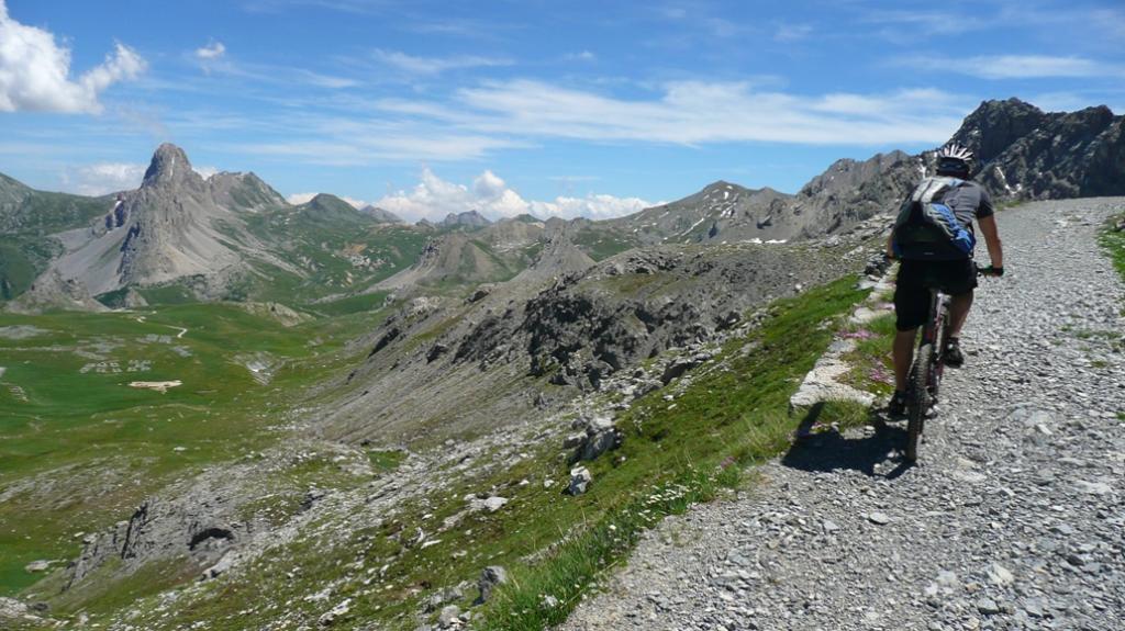
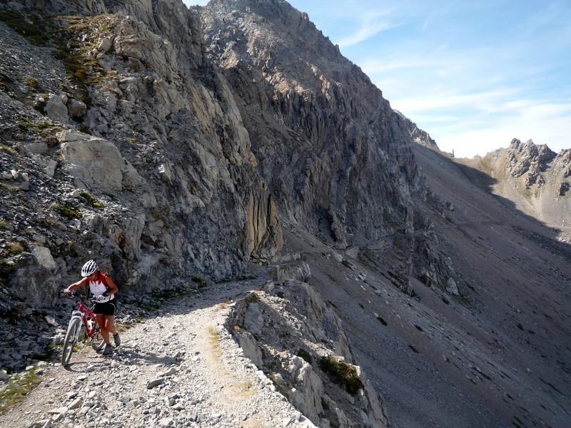
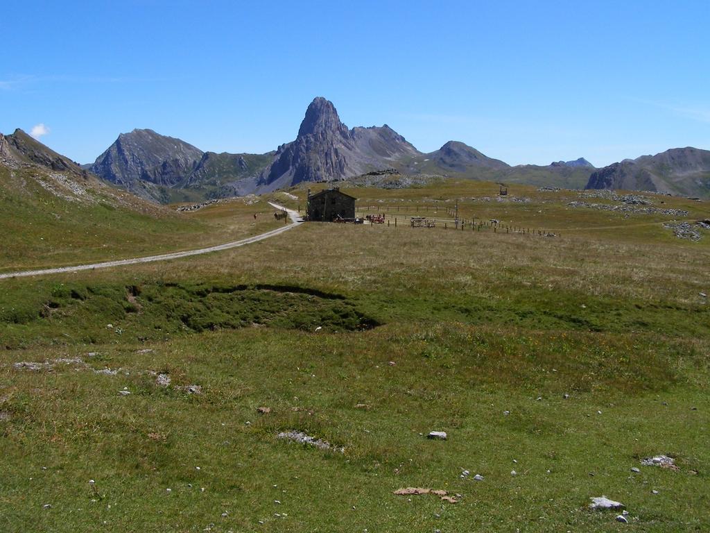
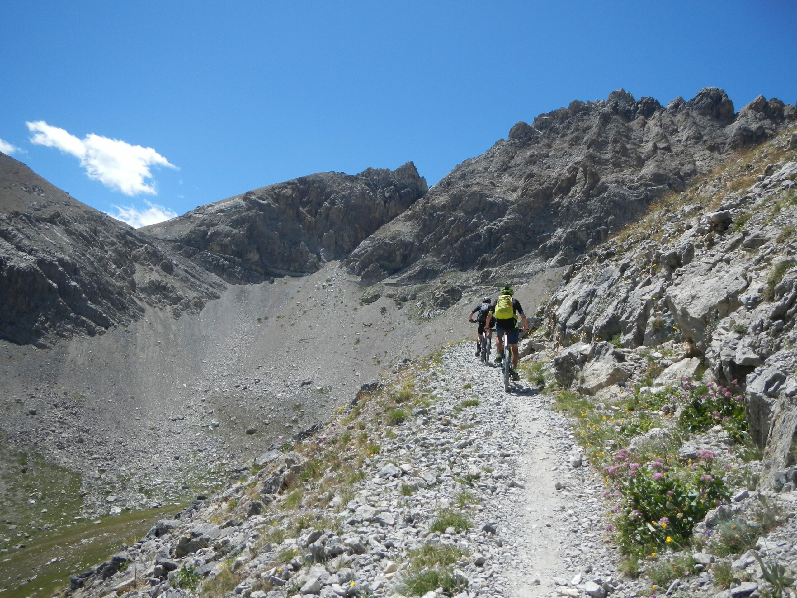
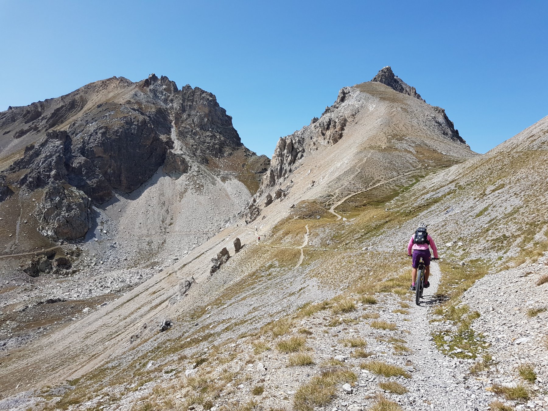
Salendo dolcemente, ma man mano su terreno sempre più accidentato si raggiungono prima il suddetto rifugio poi l’omonimo passo (conviene evitare la strada e percorrere i sentierini laterali più ciclabili e meno sassosi) ed infine con qualche breve tratto a piedi (non più di 10′ complessivi) al passo di Rocca Brancia a 2620 m.
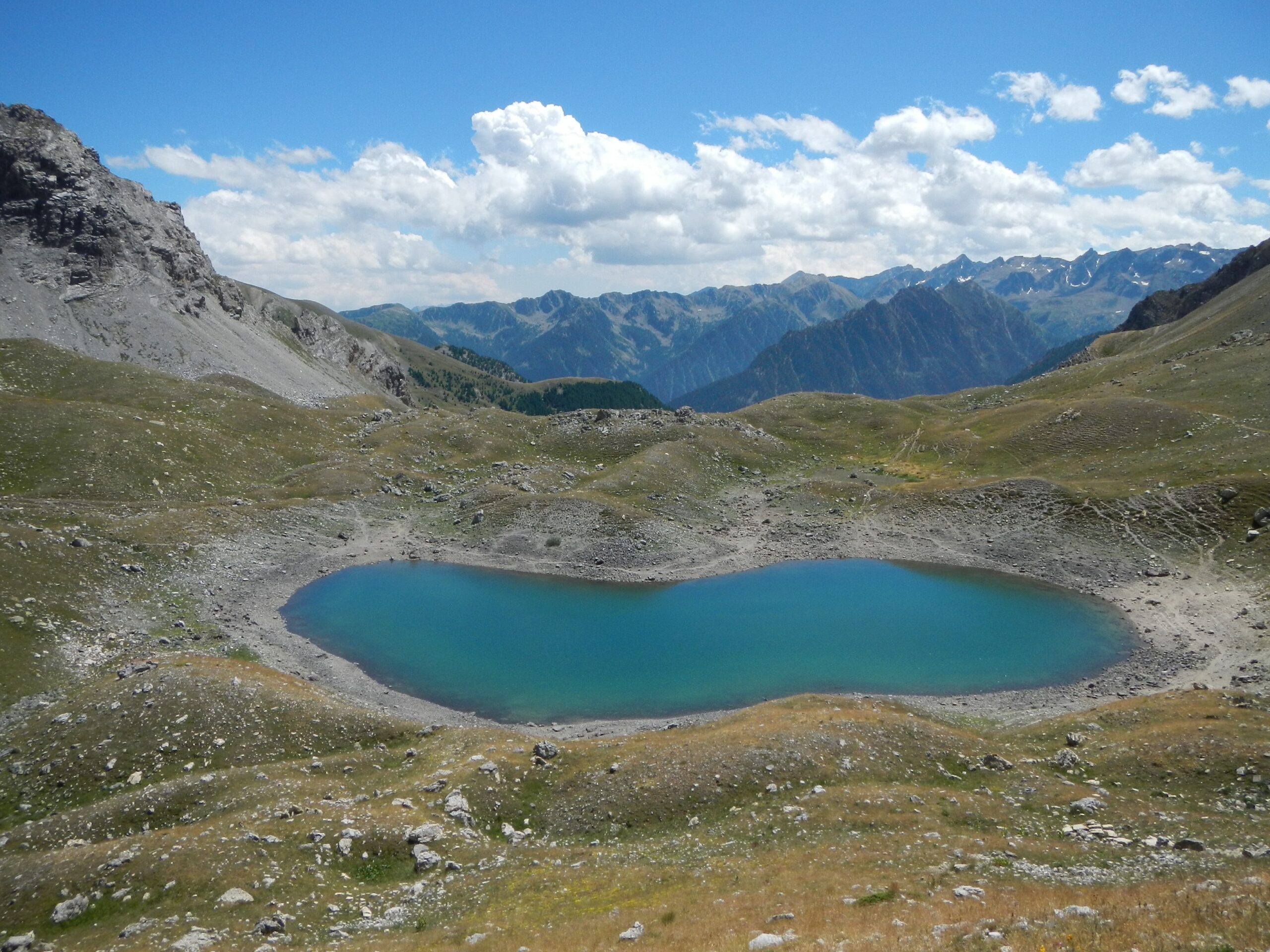
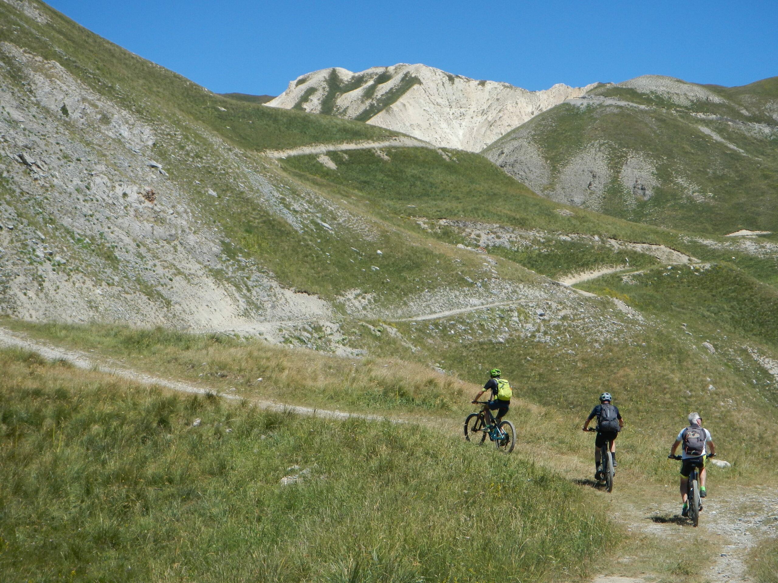
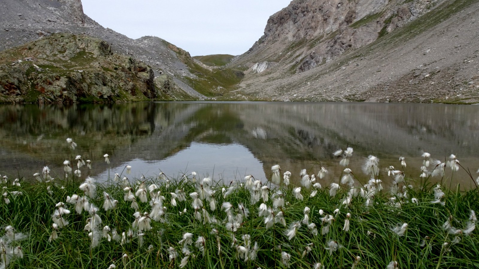
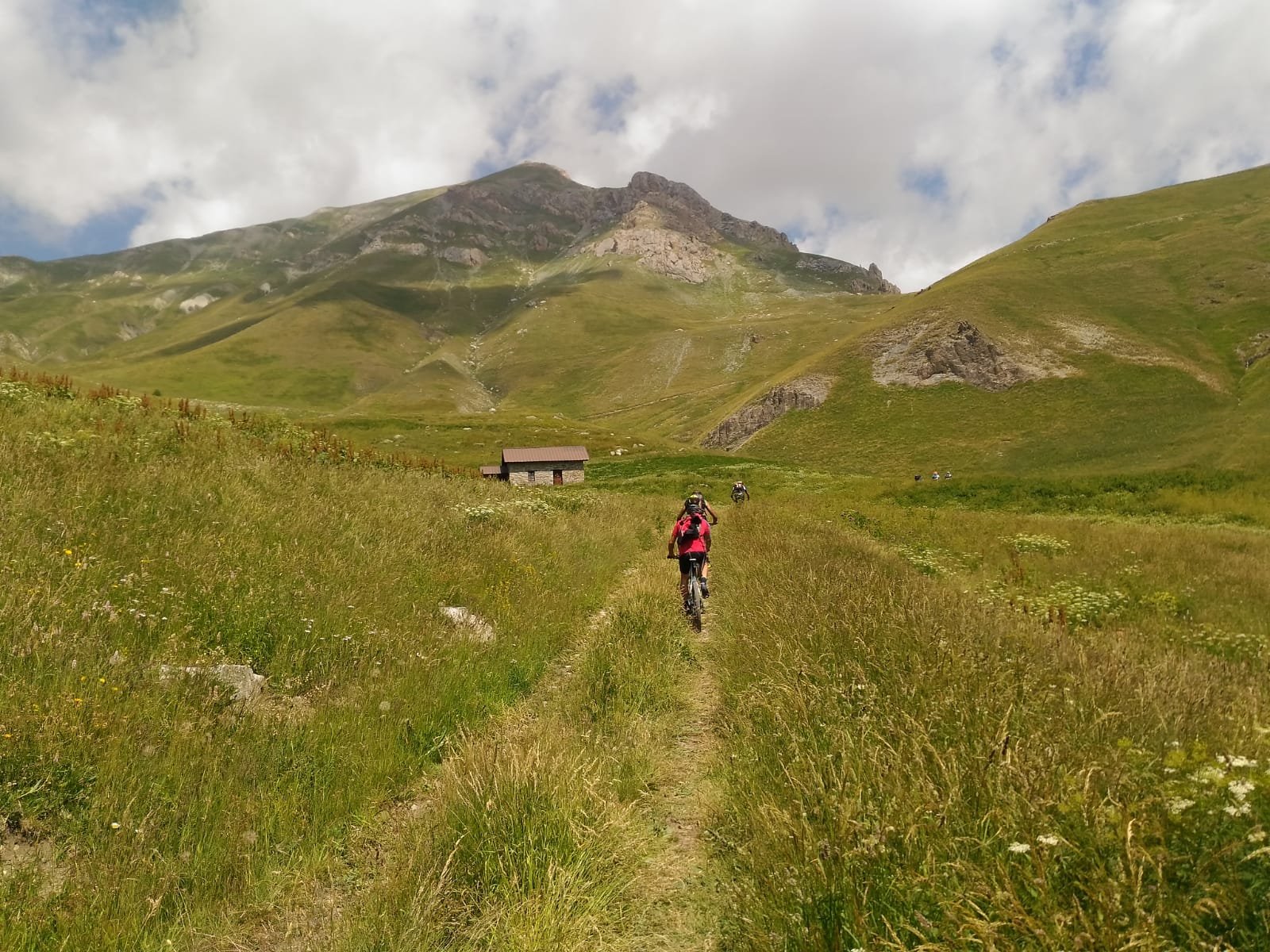
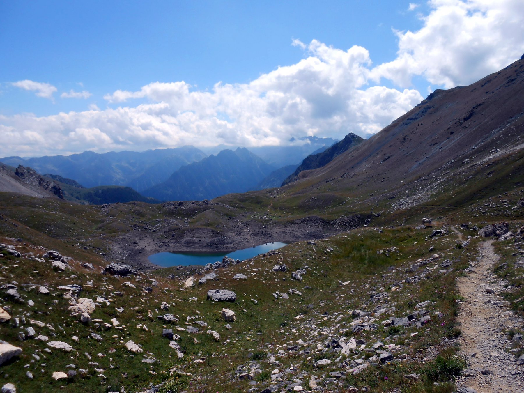
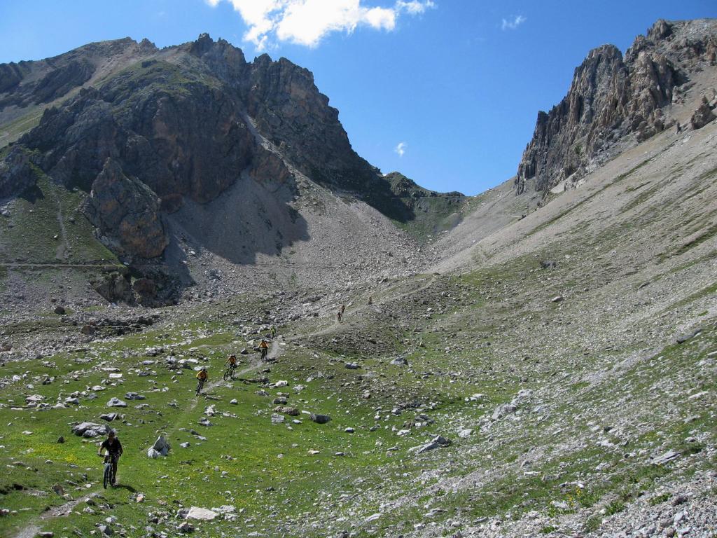
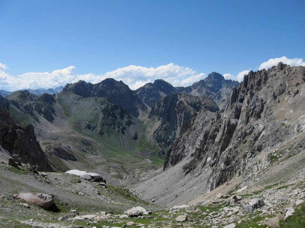
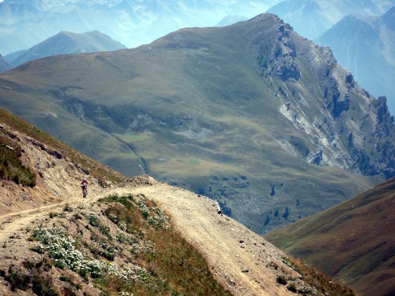
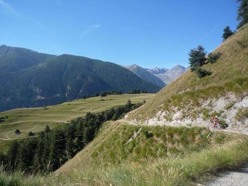
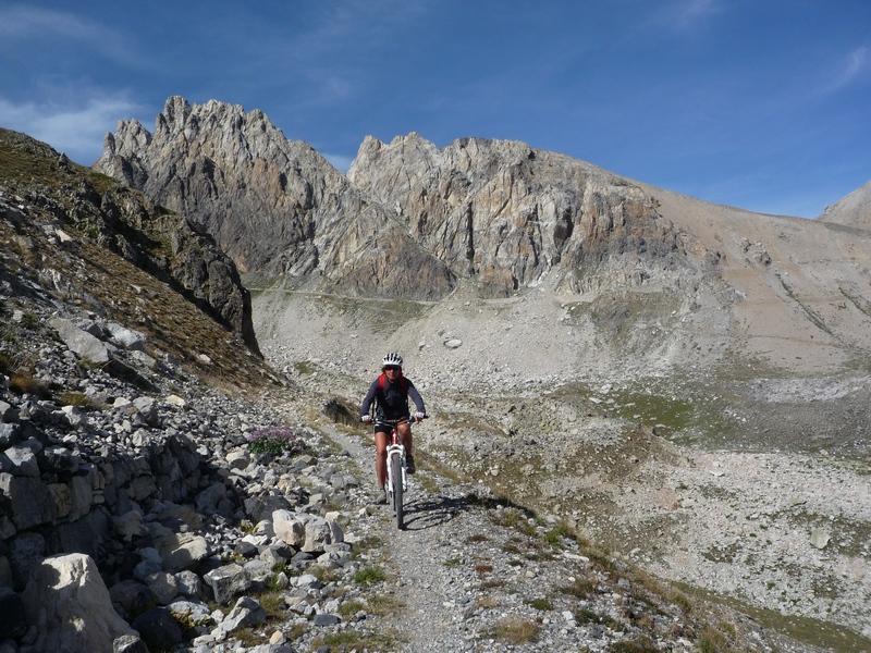
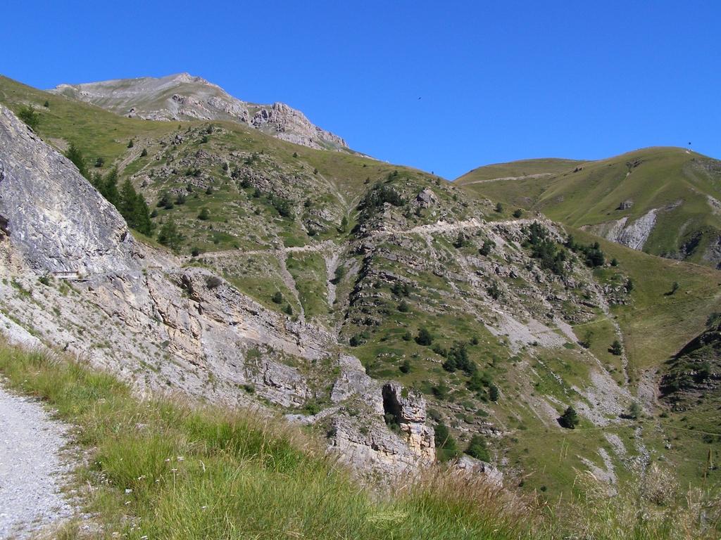
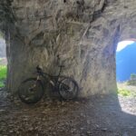
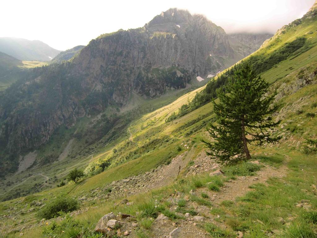
Scendere in direzione Valle Stura lungo il sentiero GTA che percorre il centro del Vallone di Servagno, passando nei pressi del Lago Oserot, in seguito dai ruderi Servagno, dalle Grange Serre per raggiungere la statale che riporta a Pietraporzio, evitando la galleria che si incontra sotto le Barricate utilizzando la vecchia strada (chiusa al traffico) che passa a sinistra.
In alternativa, dal passo di Rocca Brancia si può proseguire sino al Colle Oserot e scendere utilizzando il sentiero che, con un lungo traverso, conduce alla Bassa di Testarossa e da lì giù verso Bersezio (BC+/S2).
- Cartografia:
- Fraternali 1:25.000 Alta Val Maira e Varaita; CM Valle Maira 1:25.000; Openmtbmap; IGC Valle Stura, Vinadio, Argentera
- Bibliografia:
- Icardi-Marino Mtb nelle Valli Maira-Grana-Stura-Ubaye
Nelle vicinanze Mappa
Itinerari
18/07/2009 CN, Pietraporzio D+ 2900 m BC+, BC+, S2 Tutte
Salsas Blancias, Gardetta, Munie, Gypiera (Colli) da Pietraporzio, giro per le Sorgenti del Maira
 50m
50m
05/08/2023 CN, Pietraporzio D+ 1360 m BC, OC, S2 Sud
Vallonetto (Colle del) da Pietraporzio, giro
 50m
50m
15/07/2023 CN, Pietraporzio D+ 1800 m BC+, OC, S0 Varie
Scolettas (Passo Sottano delle) e Colle di Stau da Pietraporzio, giro
 50m
50m
03/09/2023 CN, Pietraporzio D+ 1100 m BC, BC+, S3 Tutte
Scolettas (Passo Sottano delle) da Pietraporzio, giro Vallone del Piz – Prati del Vallone
 50m
50m
08/08/2024 CN, Pietraporzio D+ 1100 m BC, BC+, S2 Nord-Est
Becchi Rossi da Pontebernardo
 2Km
2Km
08/08/2021 CN, Pietraporzio D+ 1700 m OC, OC+, S2 Tutte
Ferro (Testa del) da Pontebernardo, giro per i Becchi Rossi
 2Km
2Km
13/09/2014 CN, Pietraporzio D+ 1980 m BC+, OC+, S3 Varie
Stau, Panieris, Blanches, Tortisse (Colli) da Pontebernardo, giro
 2Km
2Km
29/09/2016 CN, Pietraporzio D+ 1500 m OC, OC, S2 Varie
Ferro (Testa del) da Pontebernardo, giro per i Colli di Panieris e del Ferro
 2Km
2Km
25/08/2017 CN, Pietraporzio D+ 1600 m BC, BC, S2 Varie
Puriac (Colle del) da Pontebernardo, giro per Colletto Becchi Rossi e Col de Fer
 2Km
2Km
21/08/2016 CN, Sambuco D+ 1700 m BC+, OC, S2 Varie
Serour (Colle) da Sambuco, giro per il Colle Bandia e Gias Murè
 5Km
5Km
Servizi
200m
300m
Ostello Centosentieri Albergo
Pietraporzio
1.8Km
Agri Bistrot Pecora Nera Ristorante
Pietraporzio
4.9Km
della Pace Albergo
Sambuco
5.2Km
Radici B&B
Sambuco
5.3Km
La meridiana Ristorante
Sambuco
5.3Km
Le Radici B&B
Sambuco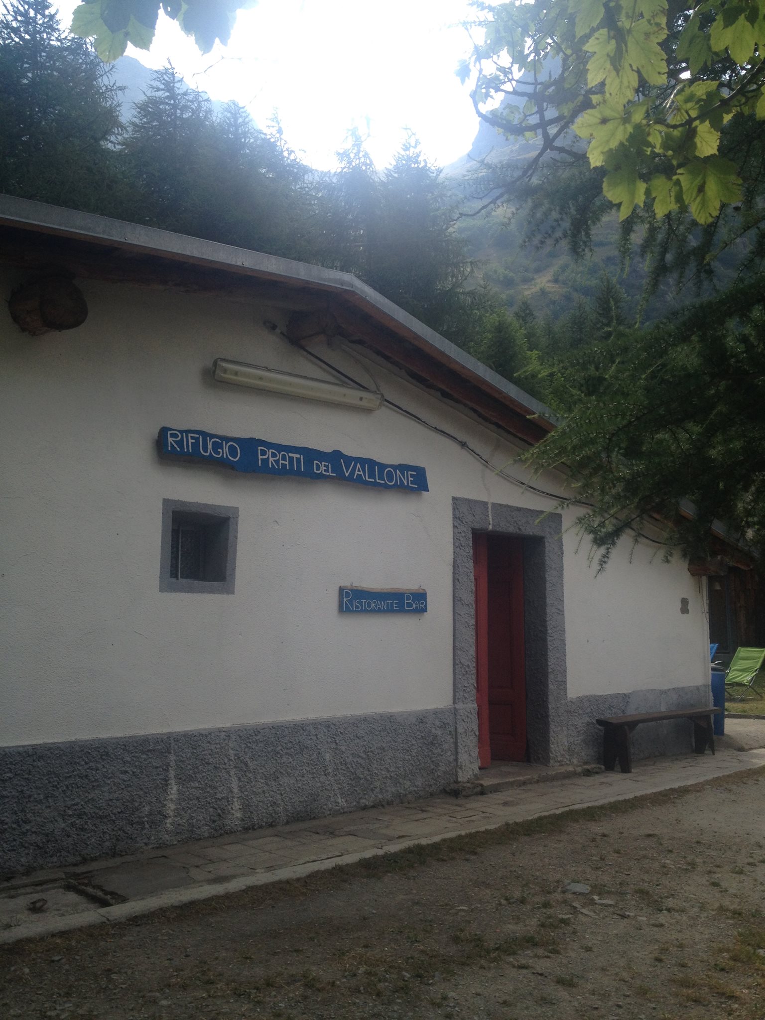 6.1Km
6.1Km
Rifugio Prati del Vallone Rifugio
Pietraporzio
6.4Km
B&b del Villaggio B&B
Bersezio/Argentera
7.5Km