1.1Km
1.1Km
Note
 1.9Km
1.9Km
2.1Km
4.3Km
6.4Km
1.9Km
1.9Km
2.1Km
4.3Km
6.4Km
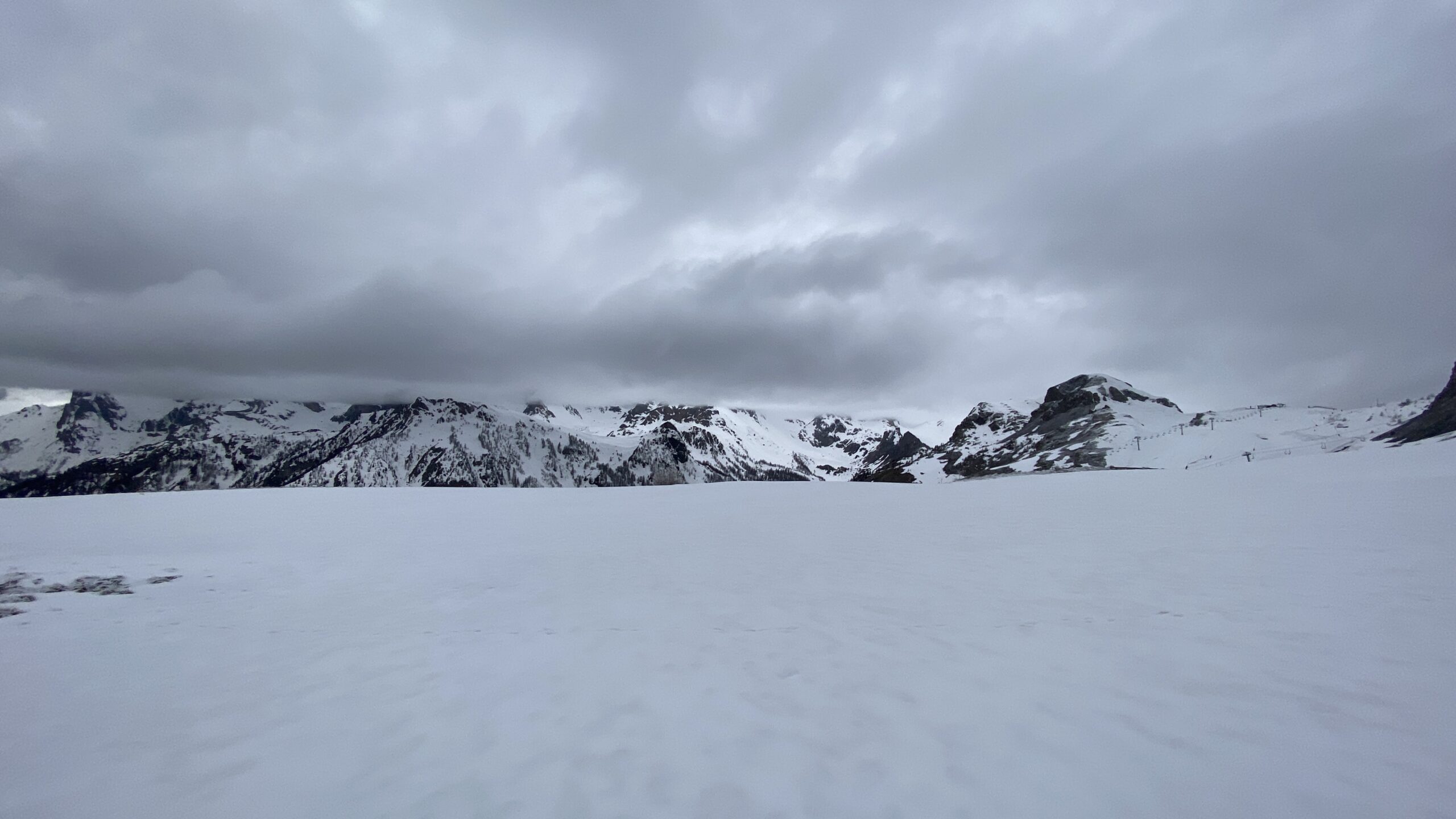
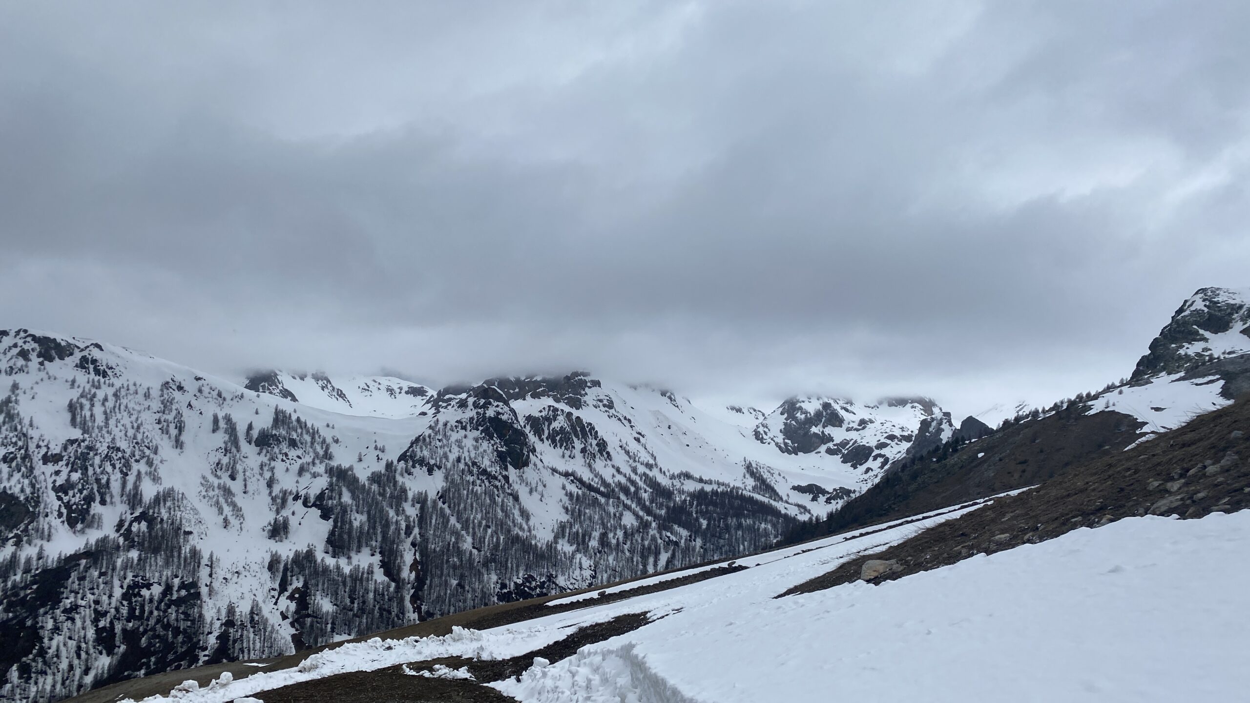
Itinerario adatto alle mezze stagioni o a giornate incerte, in alcuni tratti si incrociano le strutture degli impianti sciistici del Prorel, che però non disturbano eccessivamente.
Possibilità di accorciare un po’ il percorso ed il dislivello partendo da Puy Saint Pierre 1500 m (da qui 5.5 km e 1050 m di dislivello per la cima).
Avvicinamento
Possibilità di accorciare un po’ il percorso ed il dislivello partendo da Puy Saint Pierre 1500 m (da qui 5.5 km e 1050 m di dislivello per la cima).
Da Torino si raggiunge Briançon passando da Oulx-Cesana - Colle del Monginevro oppure da Bardonecchia attraverso il colle della Scala. Si può parcheggiare nell’area sportiva nella parte bassa del paese.
Descrizione
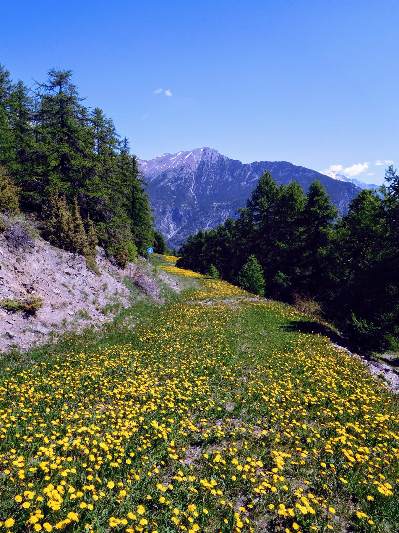
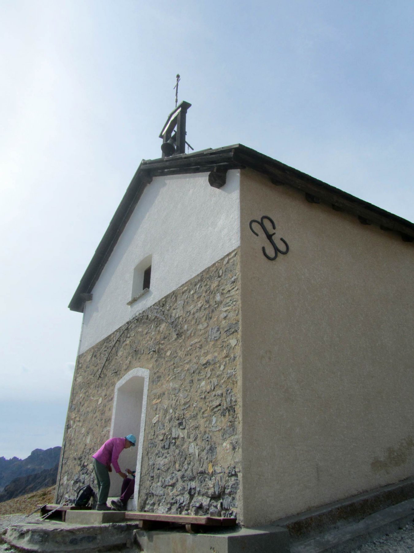
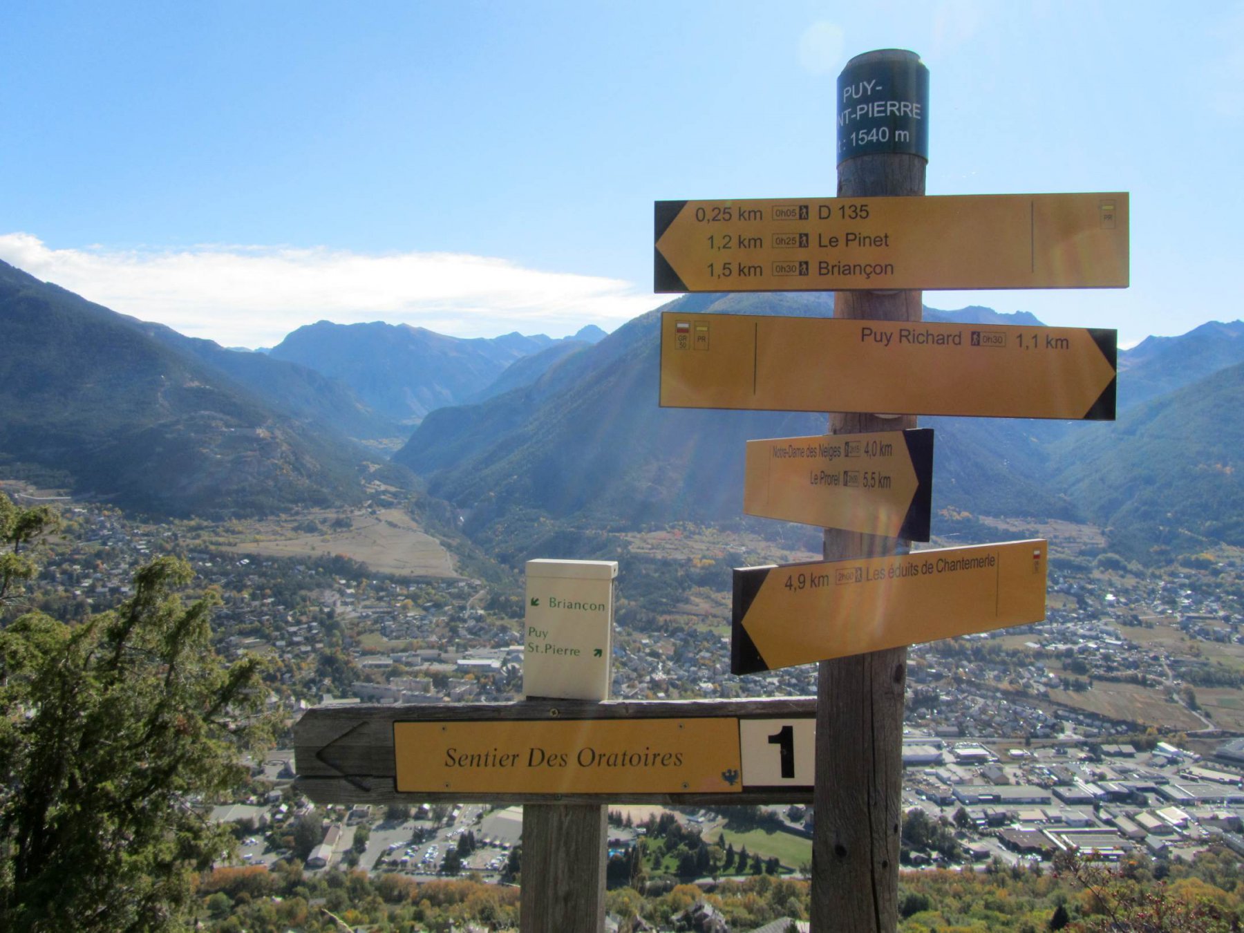
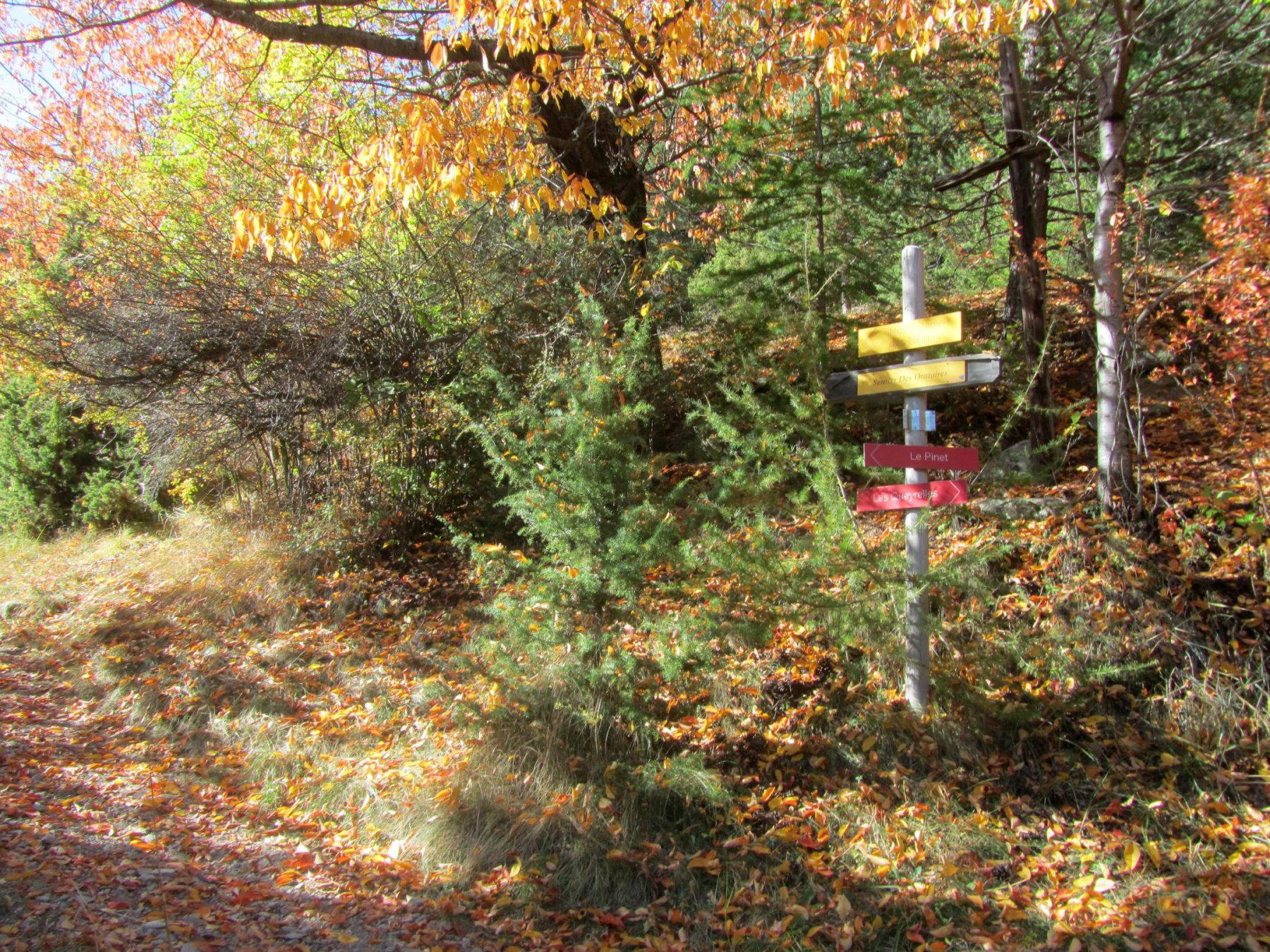
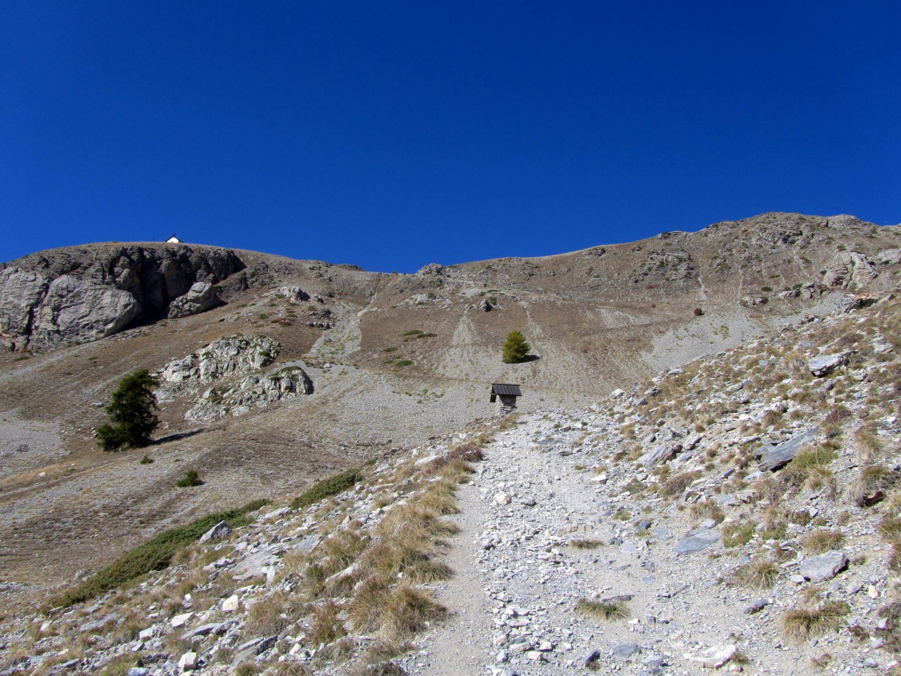
La salita inizia a Briançon, nei pressi dell’unico semaforo che si incontra ormai nella parte bassa del paese (poco prima di costeggiare la Durance) dove c’è anche l’incrocio con la strada per Puy Sain Pierre; si sale subito a destra di questa, dove un viottolo con indicato “Chemin de la Trinitè” asfaltato e poi cementato, permette di salire rapidamente di quota passando accanto ad alcune case ed incrociando poi la strada per Puy Saint Pierre, che si attraversa per proseguire alle case di les Queyrolles. Qui si continua a sinistra, seguendo le indicazioni del sentiero degli oratori ed infatti poco dopo, al termine delle ultime abitazioni, si incontra una prima edicola votiva. Il sentiero prosegue ben segnalato e con cartelli indicatori ad ogni bivio, occorre sempre seguire indicazioni per Puy Saint Pierre, Sentiero degli Oratori e Prorel, e Notre Dames des Neiges. Si esce dalla fascia boscosa e con due lunghe tagliate prima verso destra poi a sinistra, si risale un promontorio roccioso ormai in prossimità di Puy Saint Pierre, dove incontriamo per un breve tratto l’asfalto. In corrispondenza della prima via laterale che si incontra, si sale a destra lungo la stradina che attraversa le case e poi continua per bei prati sino a Pralong, dove la strada diventa prima sterrata e poi sentiero. Lasciando a sinistra un’azienda agricola e a destra una stazione degli impianti sciistici, si continua nel viottolo che sale nel bosco, e poco sopra incontra una strada di servizio. Da qui in poi si continua a tratti per sentiero a tratti su stradina (buona pendenza) toccando numerose edicole votive. Si incontra anche un bivio, in entrambi i casi il sentiero è indicato e si ricongiungerà più sopra: a destra si resta nel lariceto con percorso leggermente più lungo, dapprima per strada poderale poi per sentiero. A sinistra si sale un po’ più direttamente su percorso più aperto ma nella zona con alcuni impianti di risalita. In entrambi i casi, nei pressi dell’ennesimo pilone votivo, i sentieri si incontrano in un bel prato, e si riprende a salire ancora nel lariceto, verso sinistra, finchè di fronte appare il pendio detritico che sta alla base dello sperone roccioso dove sorge la cappella Notre Dames des Neiges. A 2100 m terminano definitivamente gli alberi, e si deve affrontare il pendio detritico ottimamente solcato da un bel sentiero che con ampie svolte lo addolcisce. Con un breve tratto roccioso attrezzato con gradini di pietra si arriva alla chiesetta 2292 m (aperta, possibilità di riparo).
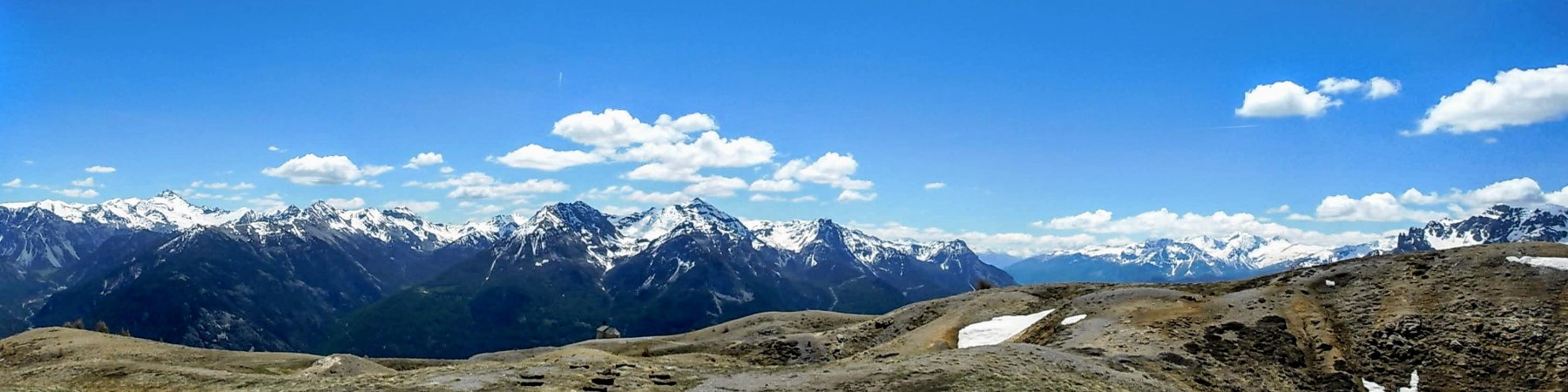
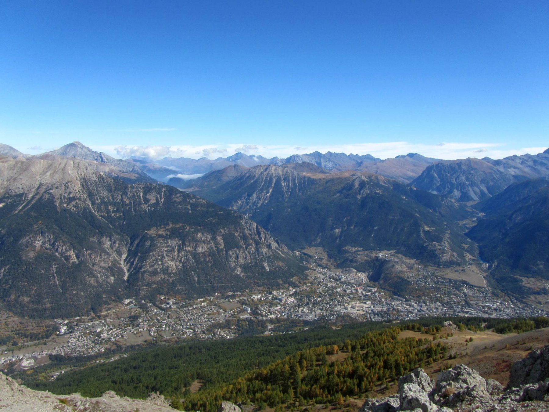
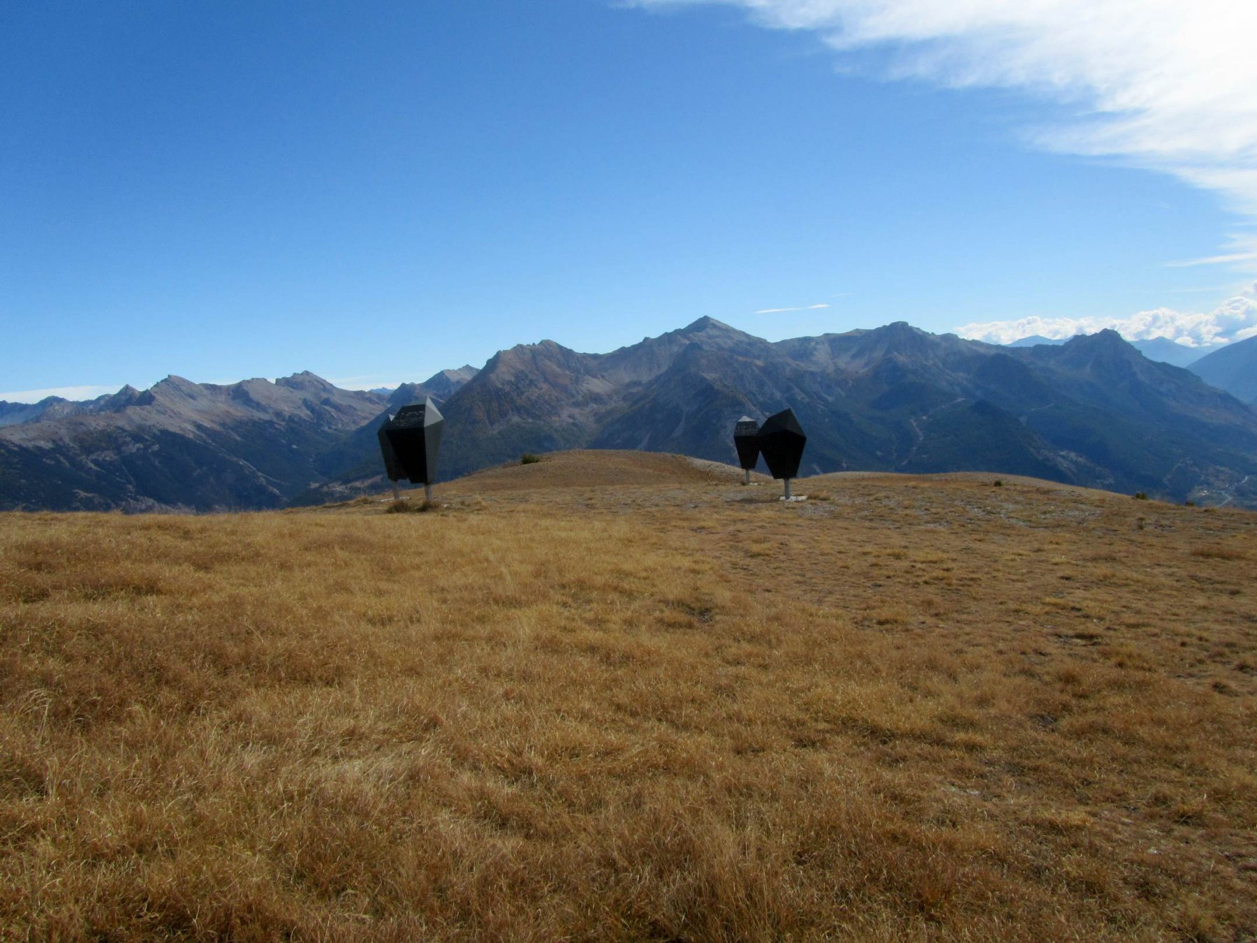
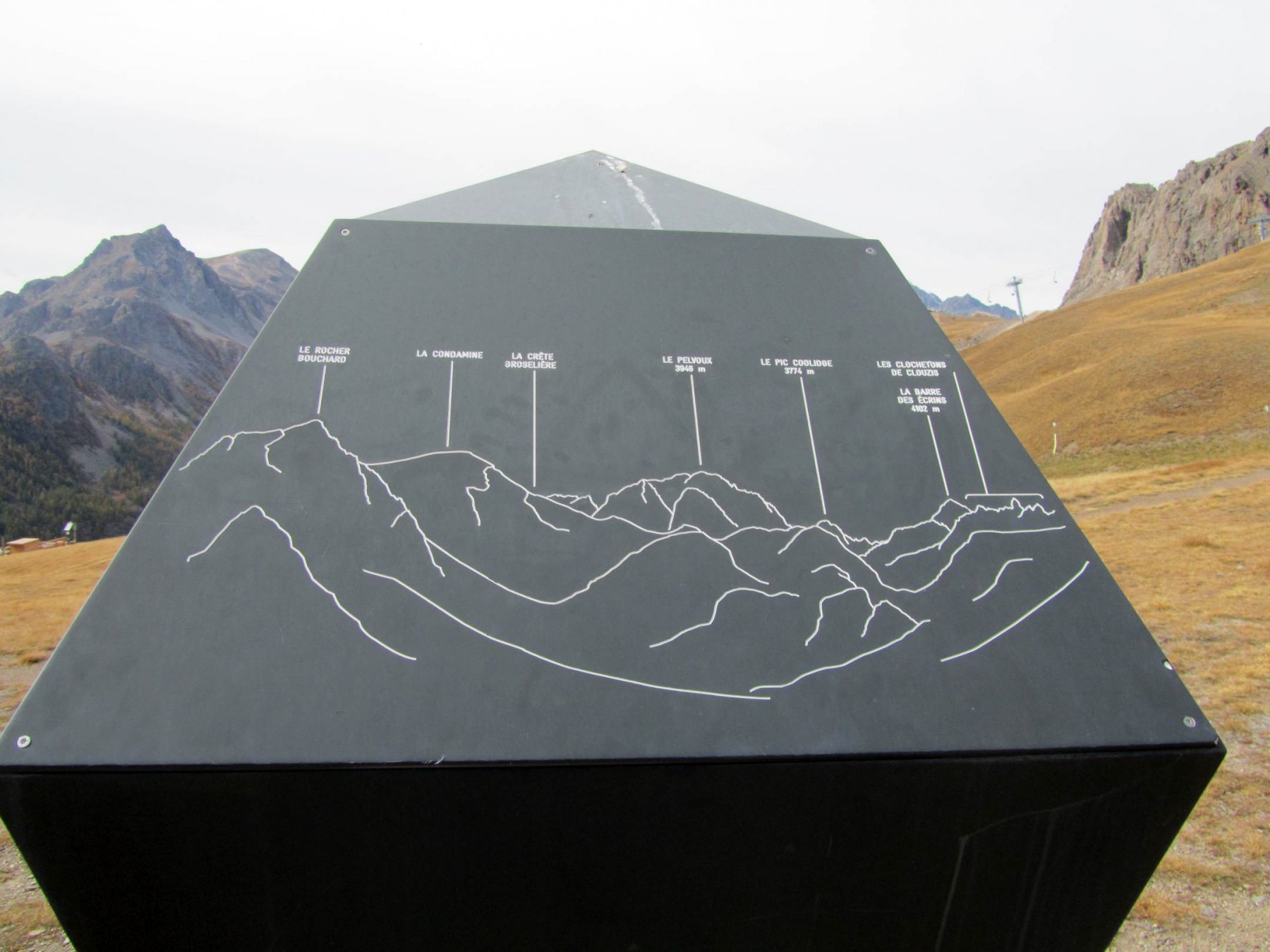
Da qui è ora ben visibile la cima, caratterizzata da una stazione meteo. Si continua a monte della chiesetta, sempre seguendo il bel sentiero che si sposta sul versante sud, raggiungendo rapidamente la zona con l’arrivo di alcuni impianti sciistici, passando accanto ad alcune tavole d’orientamento piuttosto brutte. Si continua fino a raggiungere la stazione d’arrivo del Prorel (l’ultimo edificio che si vede) e si continua a salire per prati e terra fino a raggiungere il crestone Est proveniente dalla cima. Con percorso via via più ripido e faticoso per la natura detritica del terreno, si arriva prima all’anticima, poi dopo l’ultimo strappo alla cima del Sommet du Prorel 2566 m.
Nelle vicinanze Mappa
Itinerari
30/01/2025 Hautes-Alpes, Briançon D+ 1270 m E Tutte
Guisane (Valle de la) da Briançon, balcone su Serre Chevalier
1.3Km
16/07/2020 Hautes-Alpes, Briançon D+ 1300 m EE Sud-Ovest
Aigle (Serre des) da Briançon per la Croix de Toulouse e la Crete de Malefosse
 1.9Km
1.9Km
25/05/2014 Hautes-Alpes, Briançon D+ 1350 m E Sud
Grande Peyrolle (la) da Briançon per la Petite Peyrolle e la Croix de la Cime
 1.9Km
1.9Km
15/08/2007 Hautes-Alpes, Briançon D+ 250 m T Nord
Dauphin (Fort du) da Briancon e i Fort du Chateau e Fort des Trois Tetes
1.9Km
23/06/2019 Hautes-Alpes, Villar-Saint-Pancrace D+ 1117 m E Varie
Grande Maye (Fort de la) da Villar Saint-Pancrace per il Fort de la Croix de Bretagne
 2.1Km
2.1Km
03/05/2009 Hautes-Alpes, Briançon D+ 500 m E Sud
Poet Ollagnier (le) da Briançon, anello
3Km
27/12/2006 Hautes-Alpes, Puy-Saint-André D+ 237 m E Sud-Est
Saint Laurent (Chapelle) da Puy-St-André
4Km
29/04/2018 Hautes-Alpes, Saint-Chaffrey D+ 700 m E Sud-Ovest
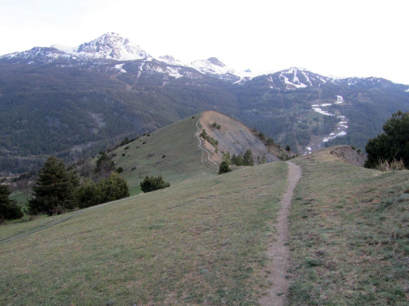
Ventecul (Crete de) da Saint Chaffrey e la Cascade de la Pisse
 4.3Km
4.3Km
09/06/2013 Hautes-Alpes, Puy-Saint-André D+ 500 m E Varie
Partias (Lac de) da Puy Chalvin
4.8Km
17/08/2015 Hautes-Alpes, Puy-Saint-André D+ 800 m E Sud-Est
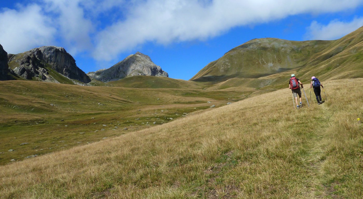
Eychauda (Sommet de l’) da les Combes per il Col de la Pisse
 6.4Km
6.4Km