 2.2Km
2.2Km
Avvicinamento
 0m
50m
50m
9.5Km
12.4Km
12.4Km
17.2Km
0m
50m
50m
9.5Km
12.4Km
12.4Km
17.2Km
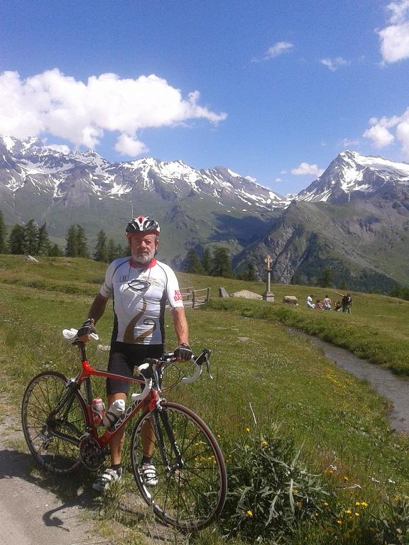
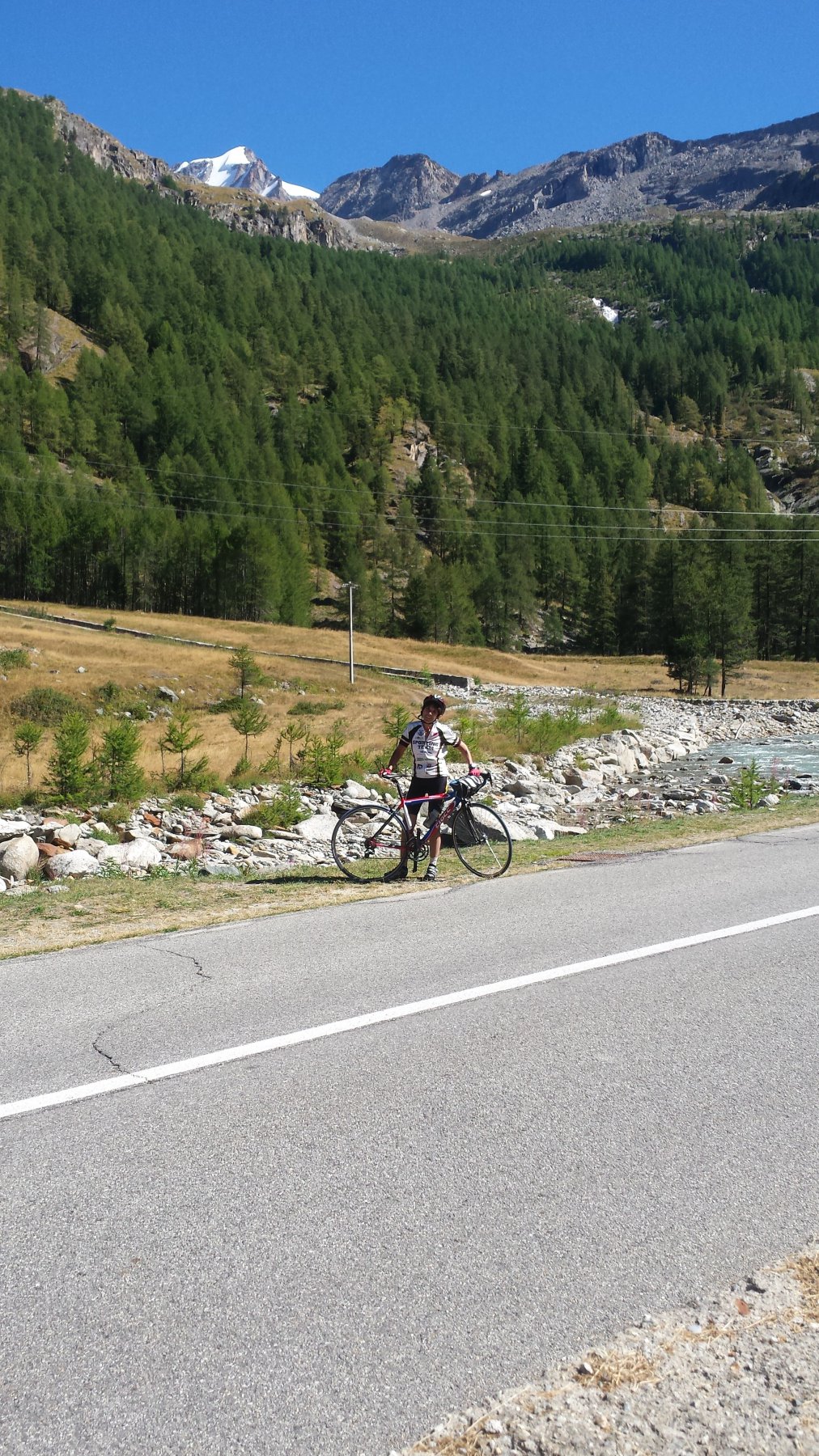
partenza da Aosta strada per il G.S.Bernardo fino alla deviazione per Valpelline in loc. Variney girare a dx per circa 3 Km poi a sx per Doues, continuare a salire per loc. Chatellard e poi continuare la salita fino a Plan Debat.
Descrizione
bellissima salita molto regolare dopo l’abitato di Doues
il panorama si fa sempre più bello, da Plan Debat si possono ammirare il Grand Combin il Velan e il M.Gelè.
- Cartografia:
- Valpelline
Nelle vicinanze Mappa
Itinerari
10/08/2025 AO, Aosta 35 Km D+ 1881 m Nord
Gran San Bernardo (Colle del) da Aosta
 0m
0m
14/08/2025 AO, Aosta 32 Km D+ 1397 m Nord
Place Moulin (Diga di) da Aosta per la Valpelline
 50m
50m
07/09/2025 AO, Quart 300 Km D+ 8100 m Nord
Gran San Bernardo (Colle del) da Aosta, giro del Monte Bianco per Bourg Saint Maurice, Chamonix, Martigny
 50m
50m
13/04/2019 AO, Saint-Pierre 16 Km D+ 1094 m Sud
Vetan (Frazione) da Saint Pierre
 9.5Km
9.5Km
16/03/2017 AO, Saint-Pierre 20 Km D+ 1255 m Nord
Joux (Mont, Col du) da Saint Pierre per Vens
9.5Km
02/09/2012 AO, Villeneuve D+ 750 m Nord
Les Combes (Frazione) da Villeneuve
 12.4Km
23/09/2018 AO, Villeneuve 25 Km D+ 1200 m Nord
Thumel (Frazione) da Villeneuve per la Val di Rhemes
12.4Km
06/09/2016 AO, Villeneuve 30 Km D+ 1400 m Nord
Pont Valsavarenche da Villeneuve
 12.4Km
04/08/2016 AO, Arvier 20 Km D+ 1300 m Tutte
Beauregard (Diga di) da Arvier per la Valgrisenche
16.9Km
10/08/2016 AO, Nus 60 Km D+ 1390 m Sud-Ovest
Porliod (Frazione) da Nus per la Valle di Saint Barthelemy
 17.2Km