1.8Km
1.8Km

Note
 50m
50m
50m
50m
50m
50m
50m
50m
50m
50m
50m
50m
50m
50m
50m
50m
50m
50m
Dislivello in discesa 1100 m. Prevedere un auto a terre rouge.
Effettuare solo con neve sicura in discesa.
Punto pericoloso a q. 2166
Avvicinamento
Effettuare solo con neve sicura in discesa.
Punto pericoloso a q. 2166
.
Descrizione
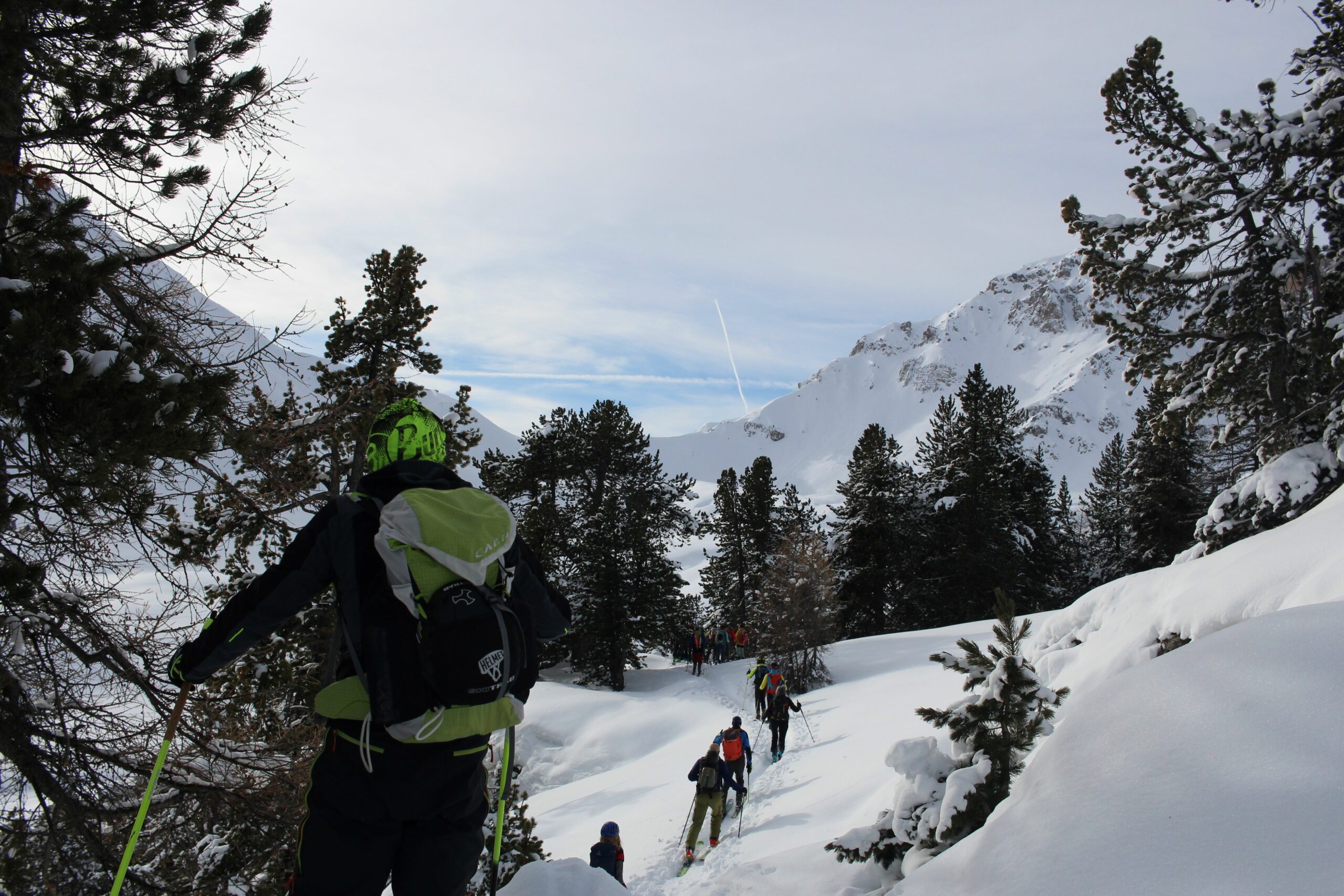
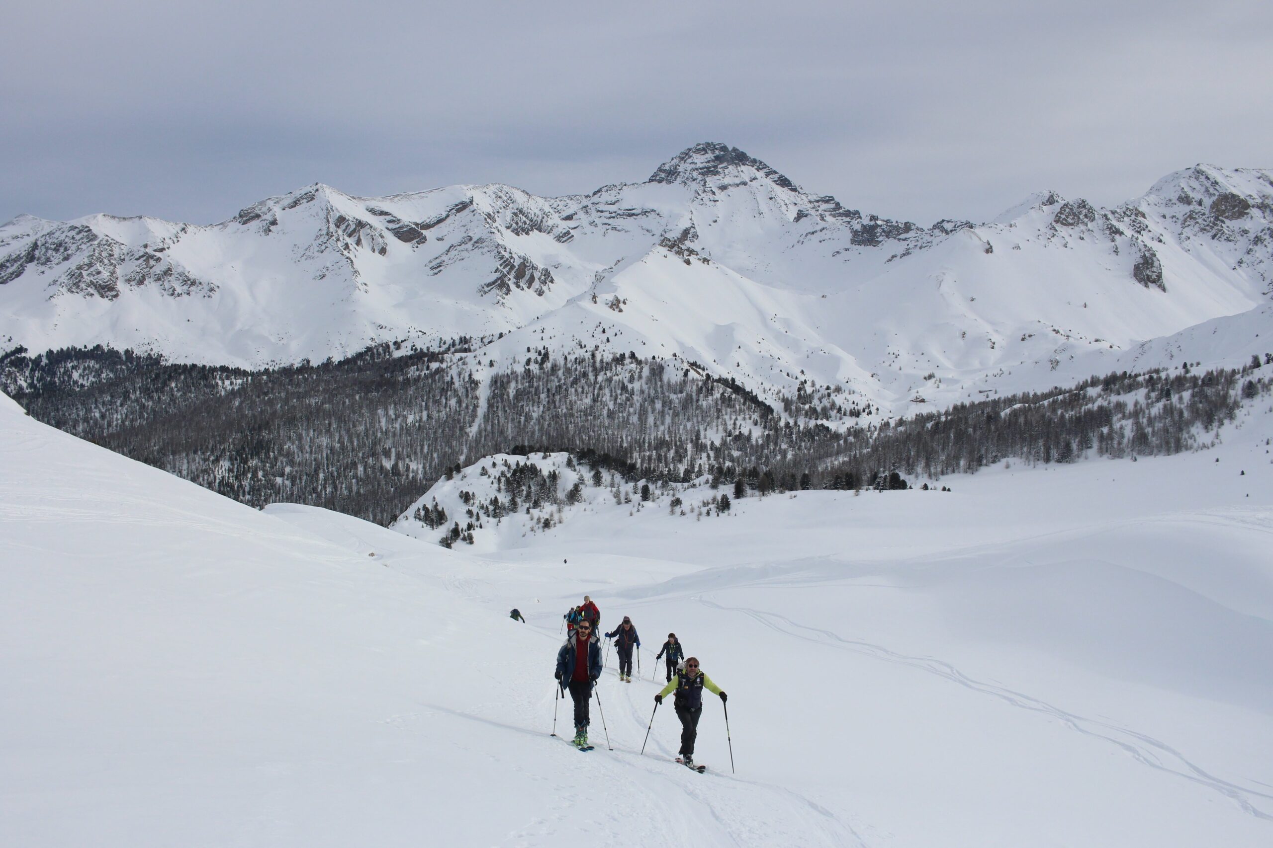
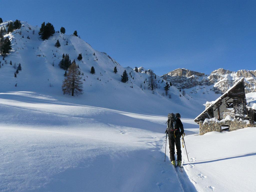
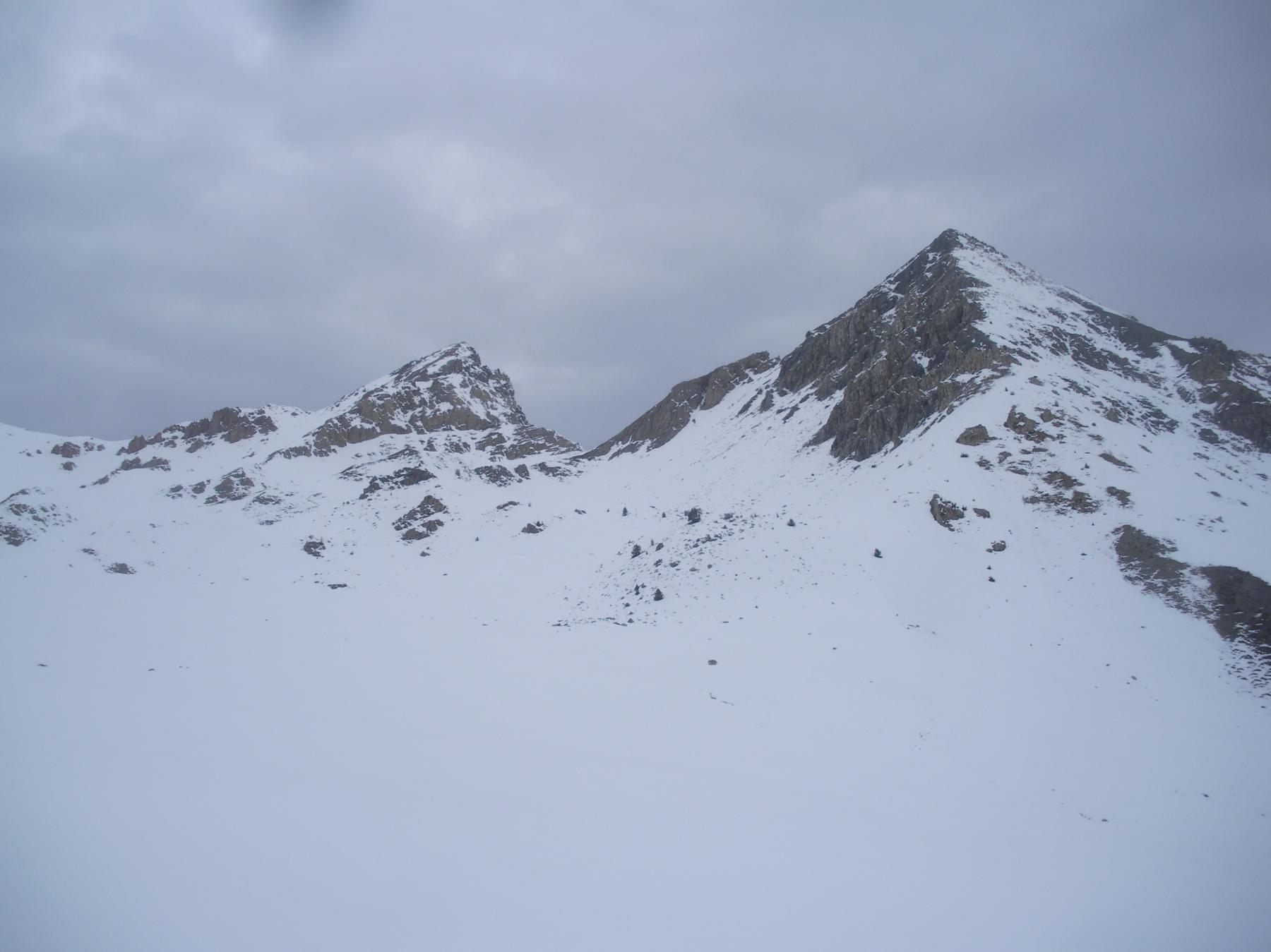
Salire verso il Col d’Izoard, poi chalets d’Izoard. Contornare il grand Peygu fino al colle omonimo q.2612.
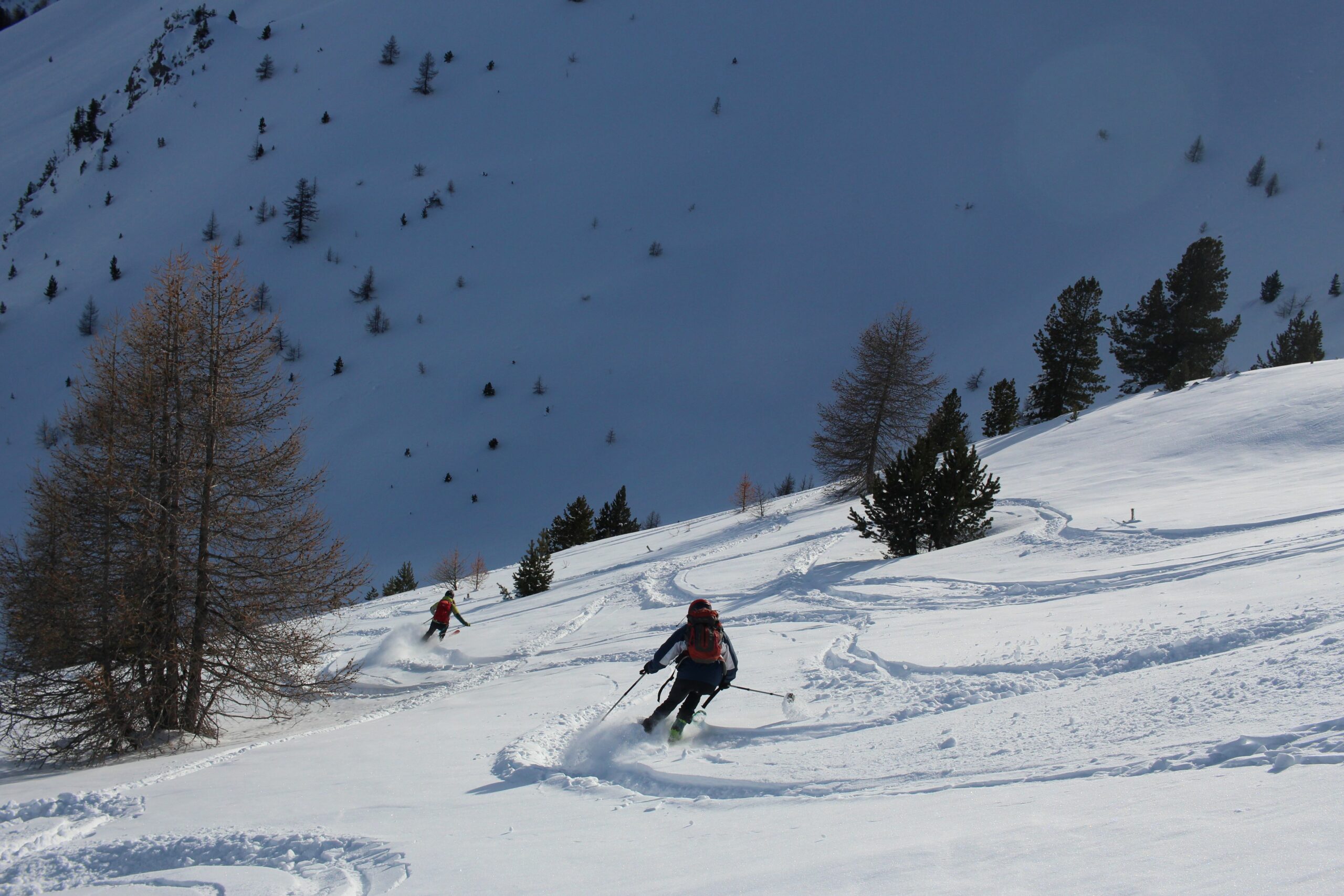
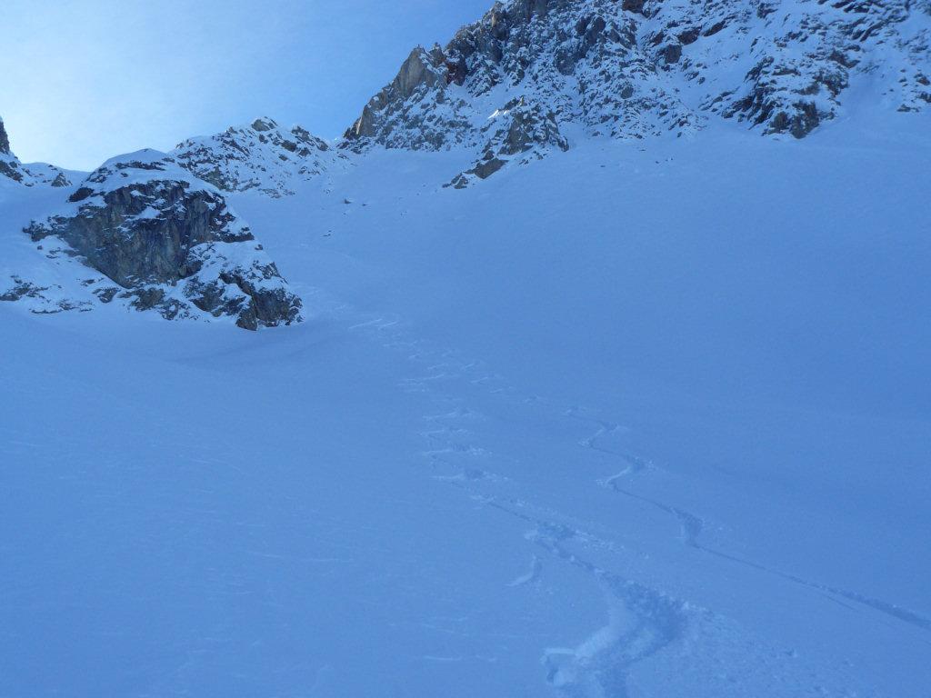
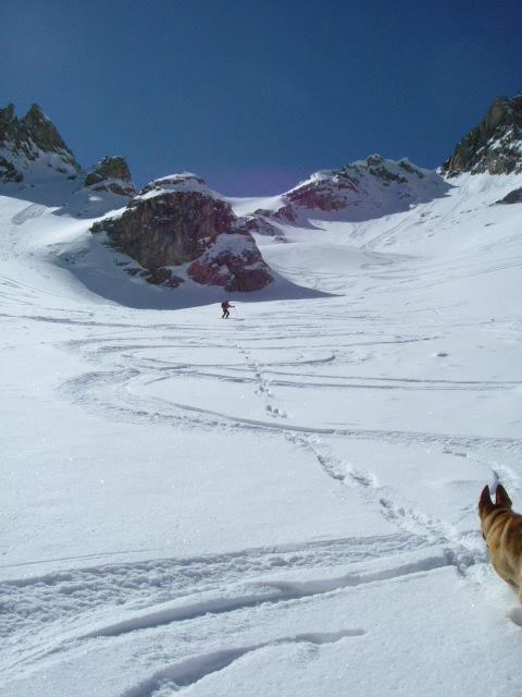
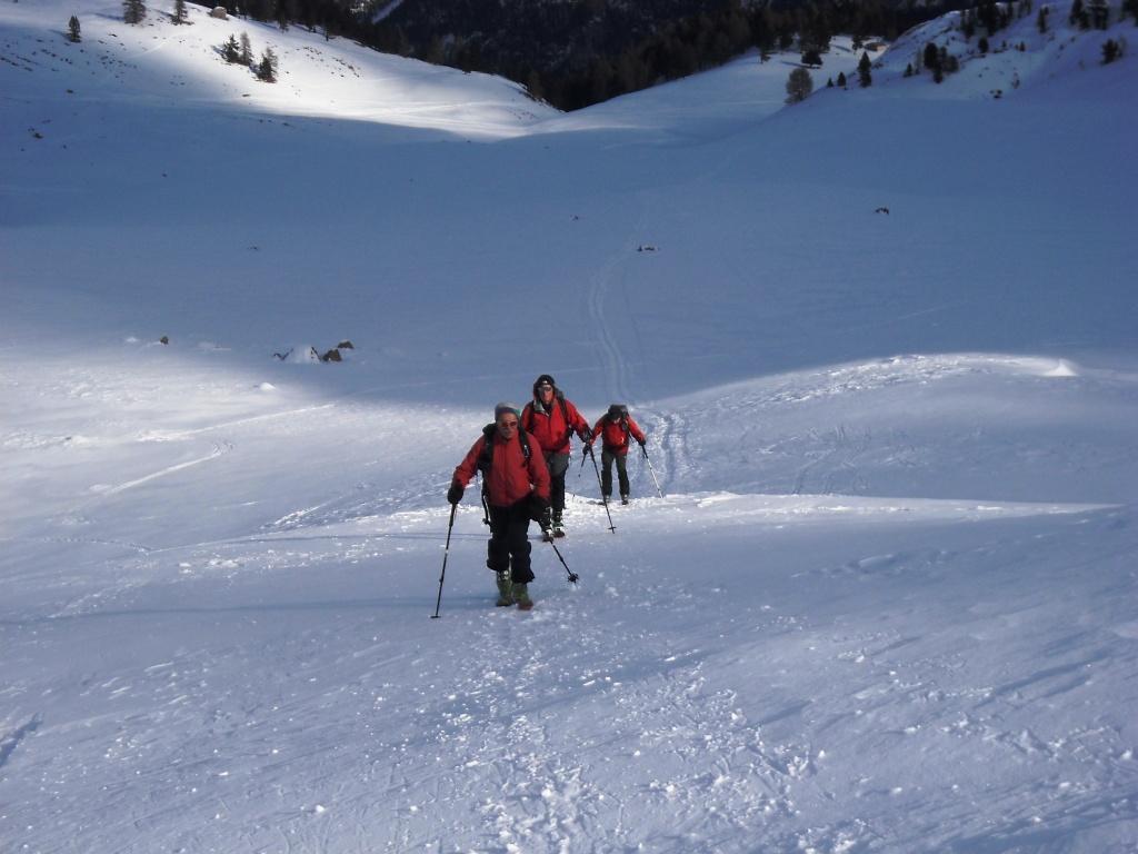
Di qui scendere Nord, prima con ampi pendii non troppo ripidi, vedi foto allegata. Poi nel bosco sottostante, prima rado, poi sempre più fitto.
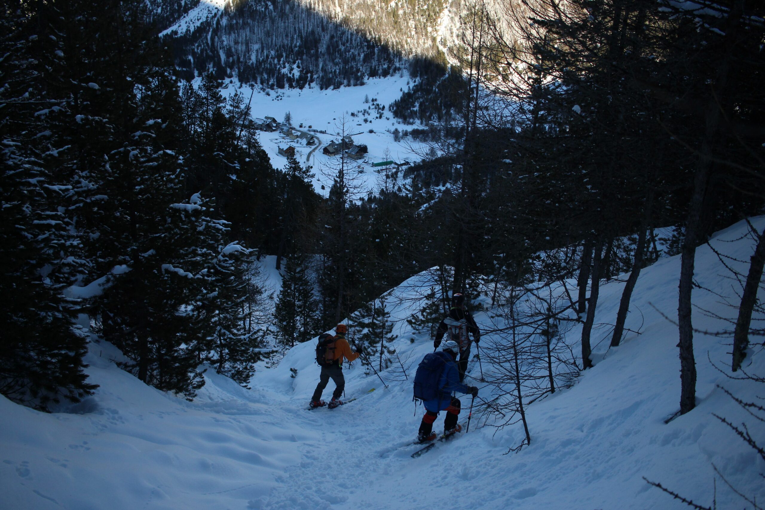
A quota 2052 lasciare il sentiero a sx. e scendere direttamente nella combe de la Lause. Per bosco fitto si arriva al torrente del fondovalle, dove vicino al ponte avrete lasciato l’auto, neve permettendo.
- Cartografia:
- I.G.N.3536 BRIANCON
- Bibliografia:
- nessuna
Nelle vicinanze Mappa
Itinerari
13/04/2019 Hautes-Alpes, Cervières D+ 1113 m BSA, F Nord
Bellecote (Tète de), cima centrale da le Laus per il Versante Nord
 50m
50m
11/05/2025 Hautes-Alpes, Cervières D+ 1600 m OSA, PD Nord-Ovest
Rochebrune (Pic de) Couloir NO
 50m
50m
31/12/2018 Hautes-Alpes, Cervières D+ 917 m BSA Nord
Petit Peygou (le) da le Laus
 50m
50m
27/02/2022 Hautes-Alpes, Cervières D+ 950 m BS Nord-Est
Roya (Col de la) da le Laus
 50m
50m
20/11/2019 Hautes-Alpes, Cervières D+ 1100 m OS Nord
Cote Belle (Pic Ouest de) da le Laus per il Couloir Nord
50m
17/03/2025 Hautes-Alpes, Cervières D+ 650 m MS Nord
Izoard (Col d’) da le Laus
 50m
50m
12/03/2024 Hautes-Alpes, Cervières D+ 987 m BS Nord-Ovest
Clot la Cime da le Laus
 50m
50m
21/01/2023 Hautes-Alpes, Cervières D+ 1090 m BS Varie
Peygus (Col des) spalla quota 2835 m da le Laus
 50m
50m
25/03/2024 Hautes-Alpes, Cervières D+ 1170 m BS Nord
Portes (Col des) da le Laus
 50m
50m
01/05/2025 Hautes-Alpes, Cervières D+ 867 m MS Sud
Peygus (Col des) da le Laus
 50m
50m