4.9Km
4.9Km
Avvicinamento
 50m
1.9Km
4.1Km
4.1Km
4.1Km
4.1Km
4.1Km
4.1Km
50m
1.9Km
4.1Km
4.1Km
4.1Km
4.1Km
4.1Km
4.1Km
SS 21 Colle della Maddalena, discesa in Francia bivio per il col de Vars e a Saint Paul sur Ubaye svoltare a dx e imboccare la strada per Maljasset fino ad un ponte a 1724 m.
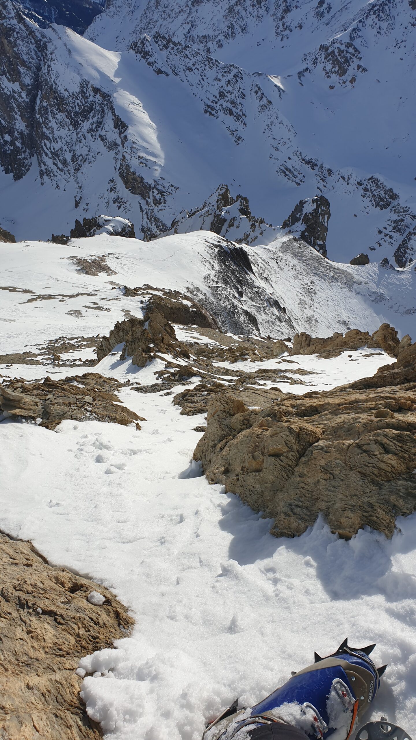
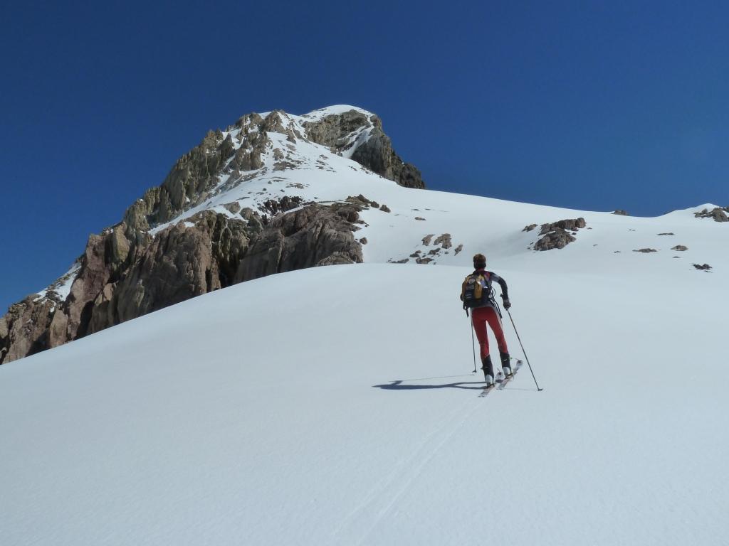
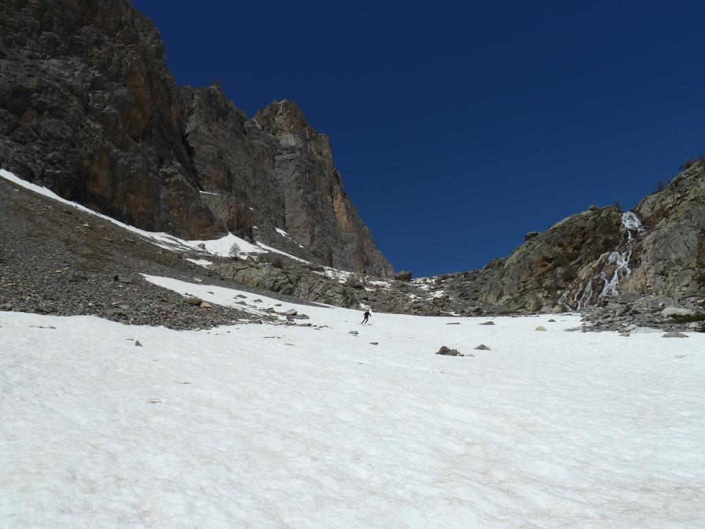
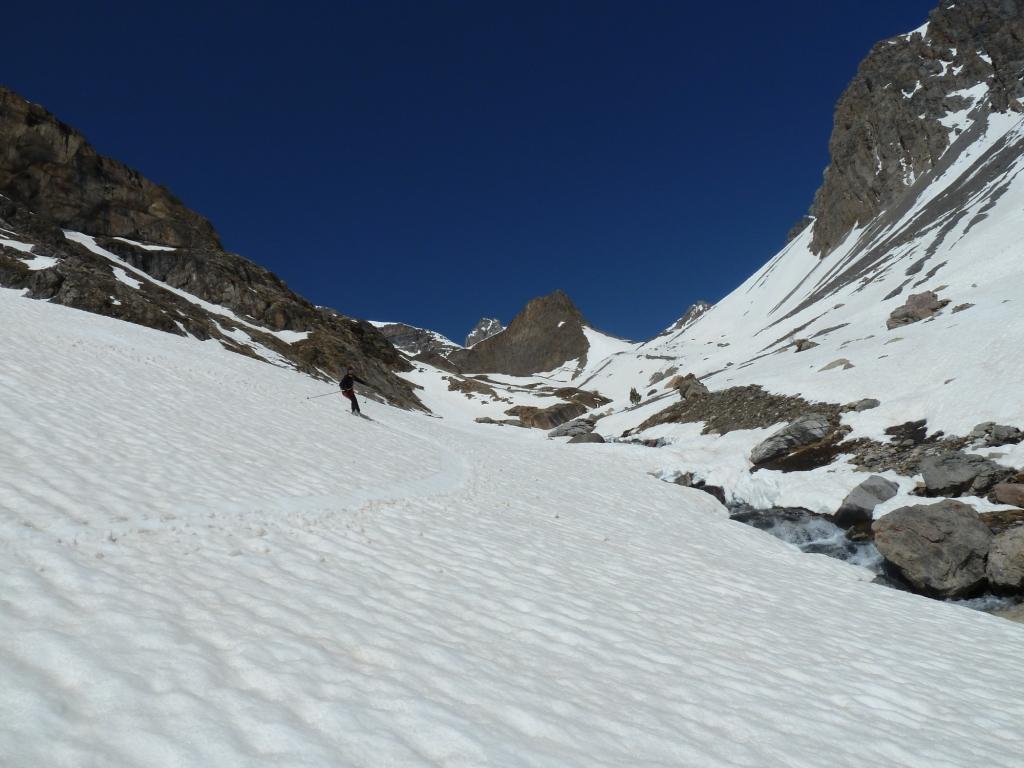
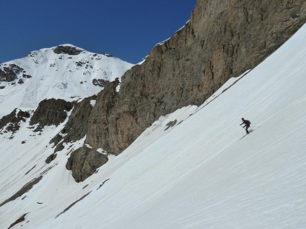
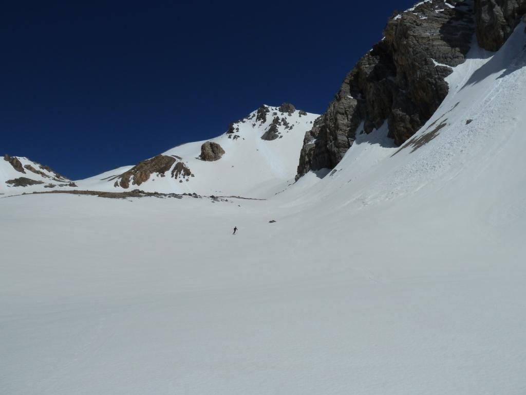
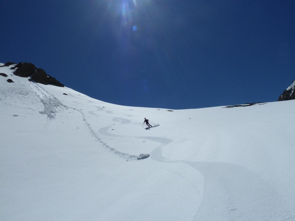
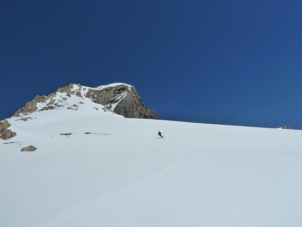
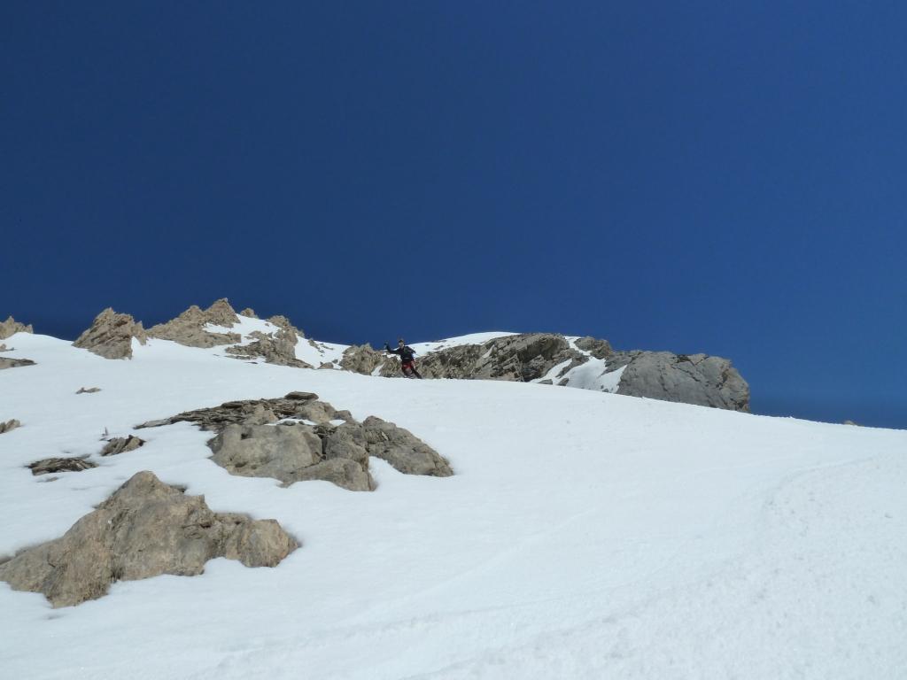
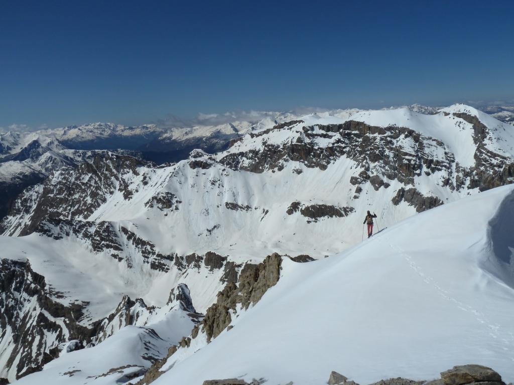
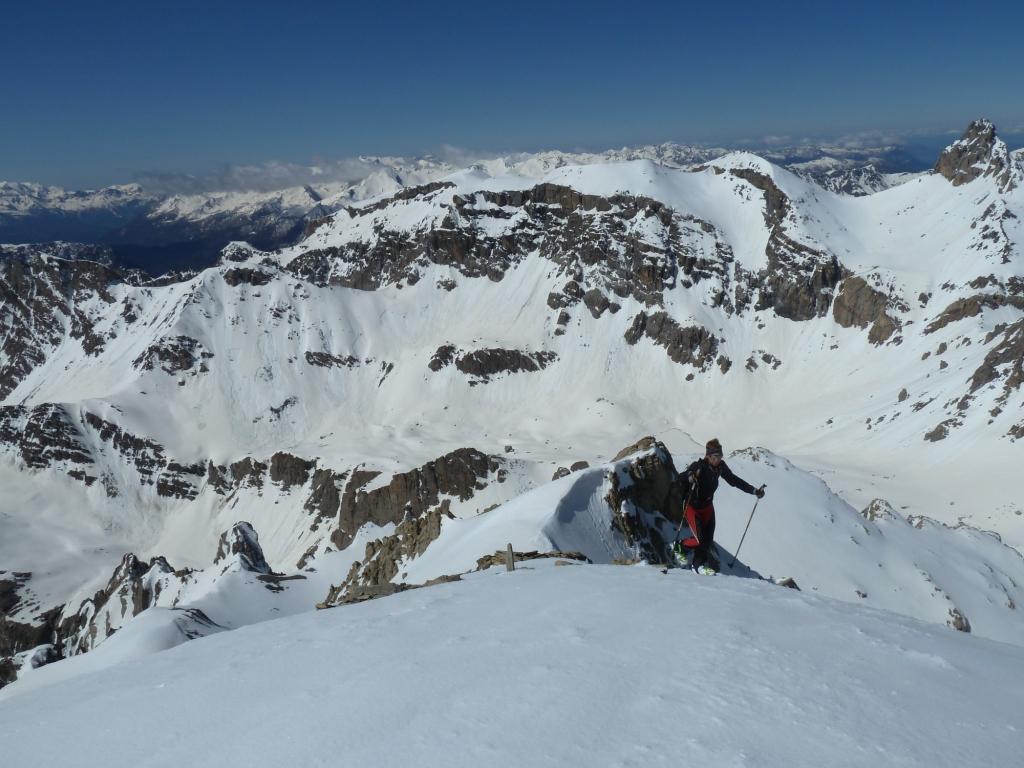
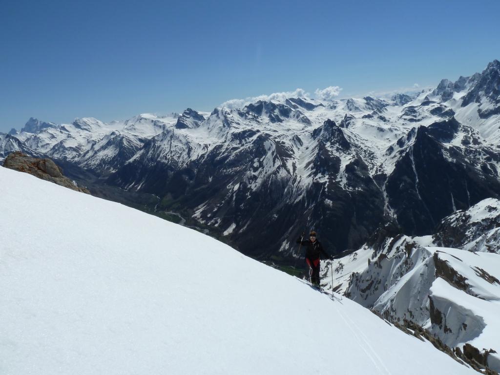
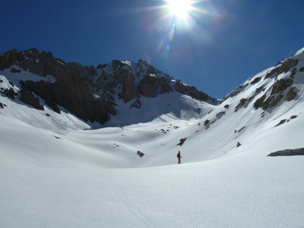
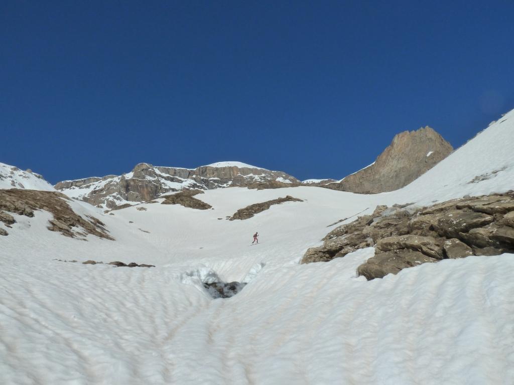
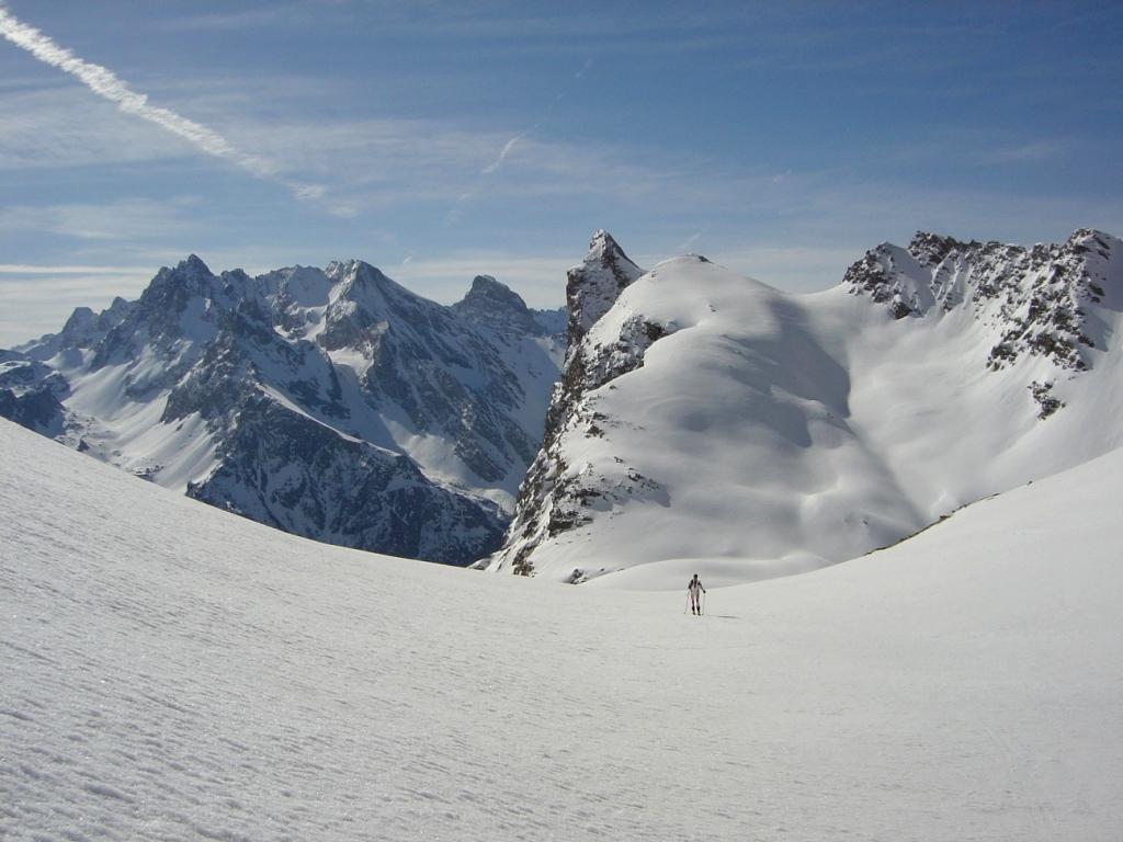
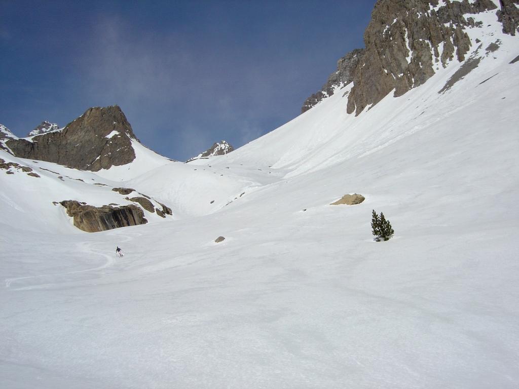
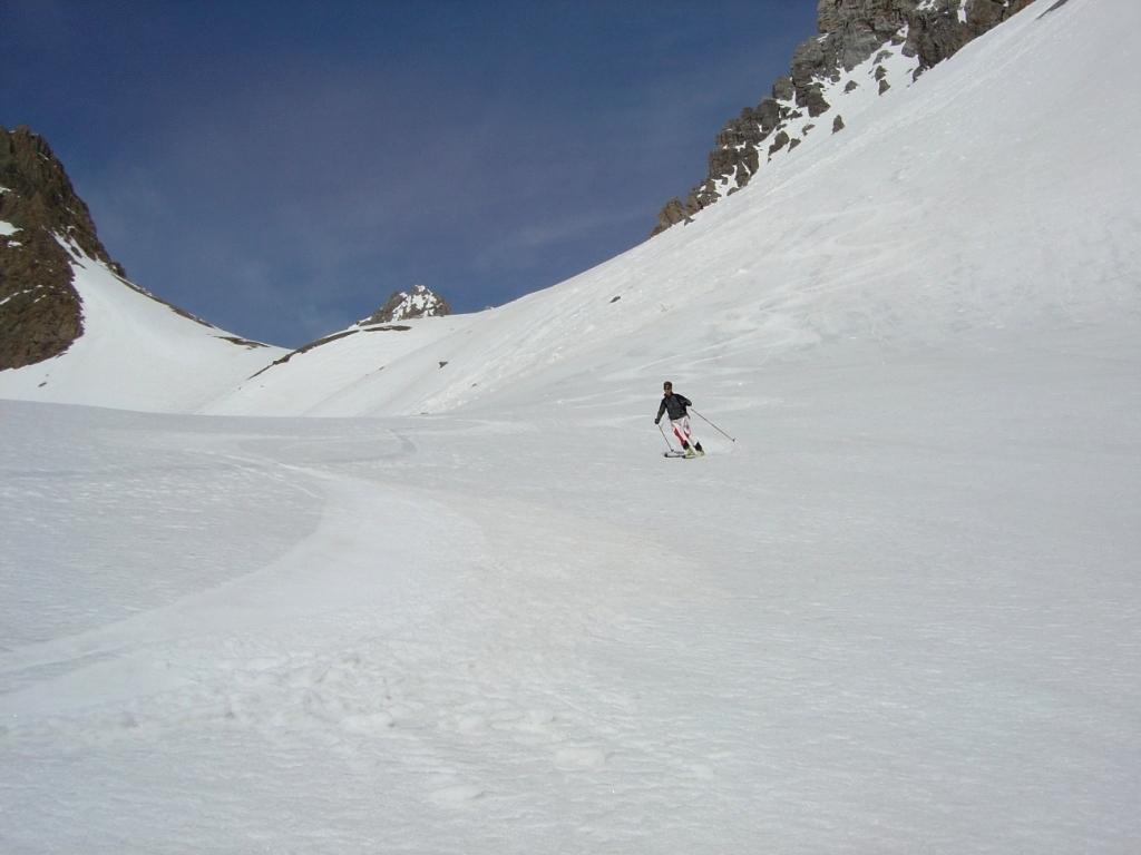
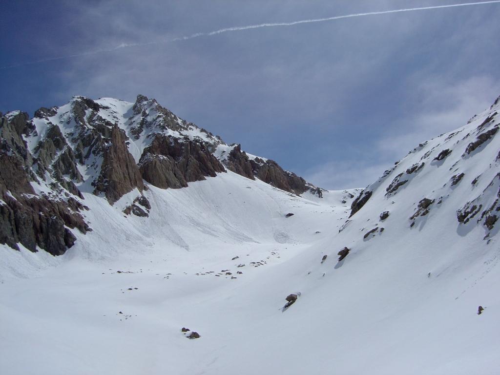
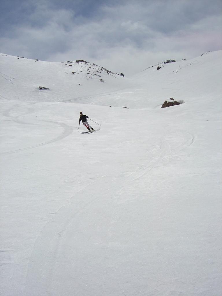
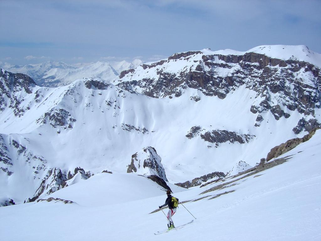
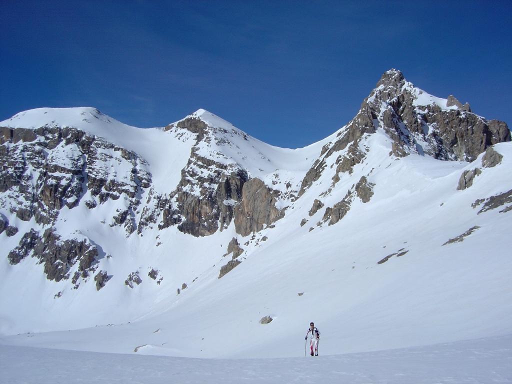
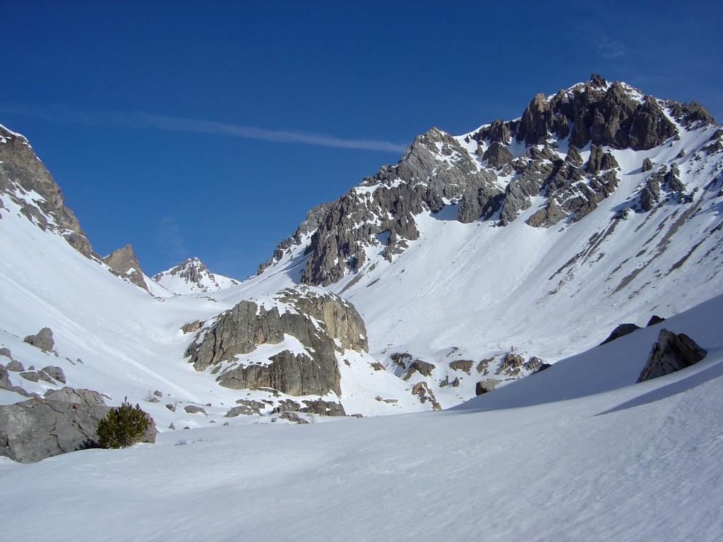
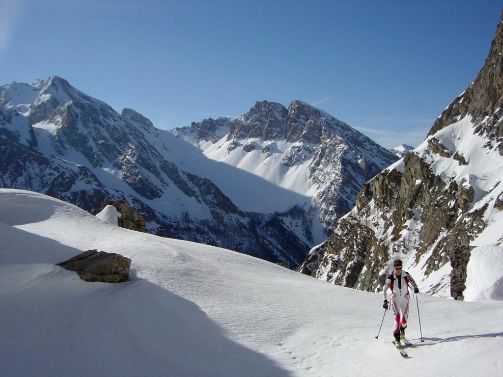
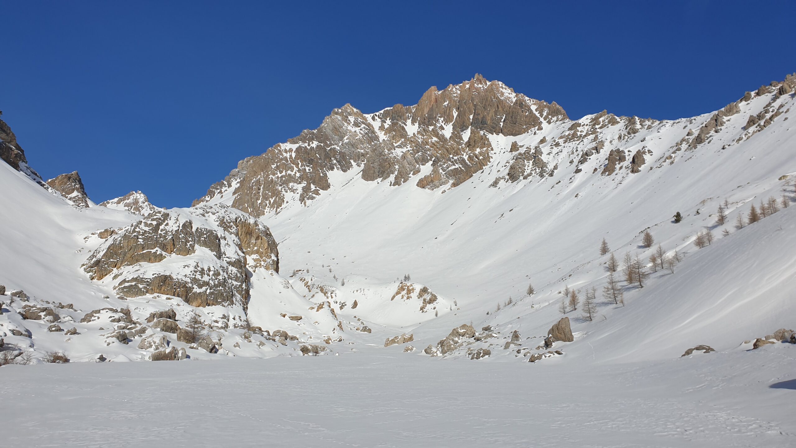
Descrizione
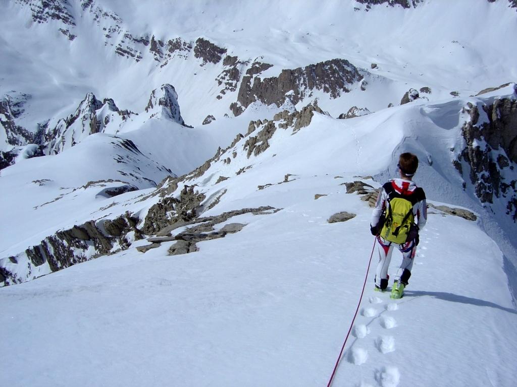
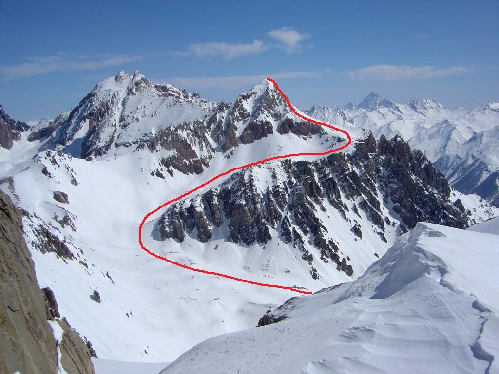
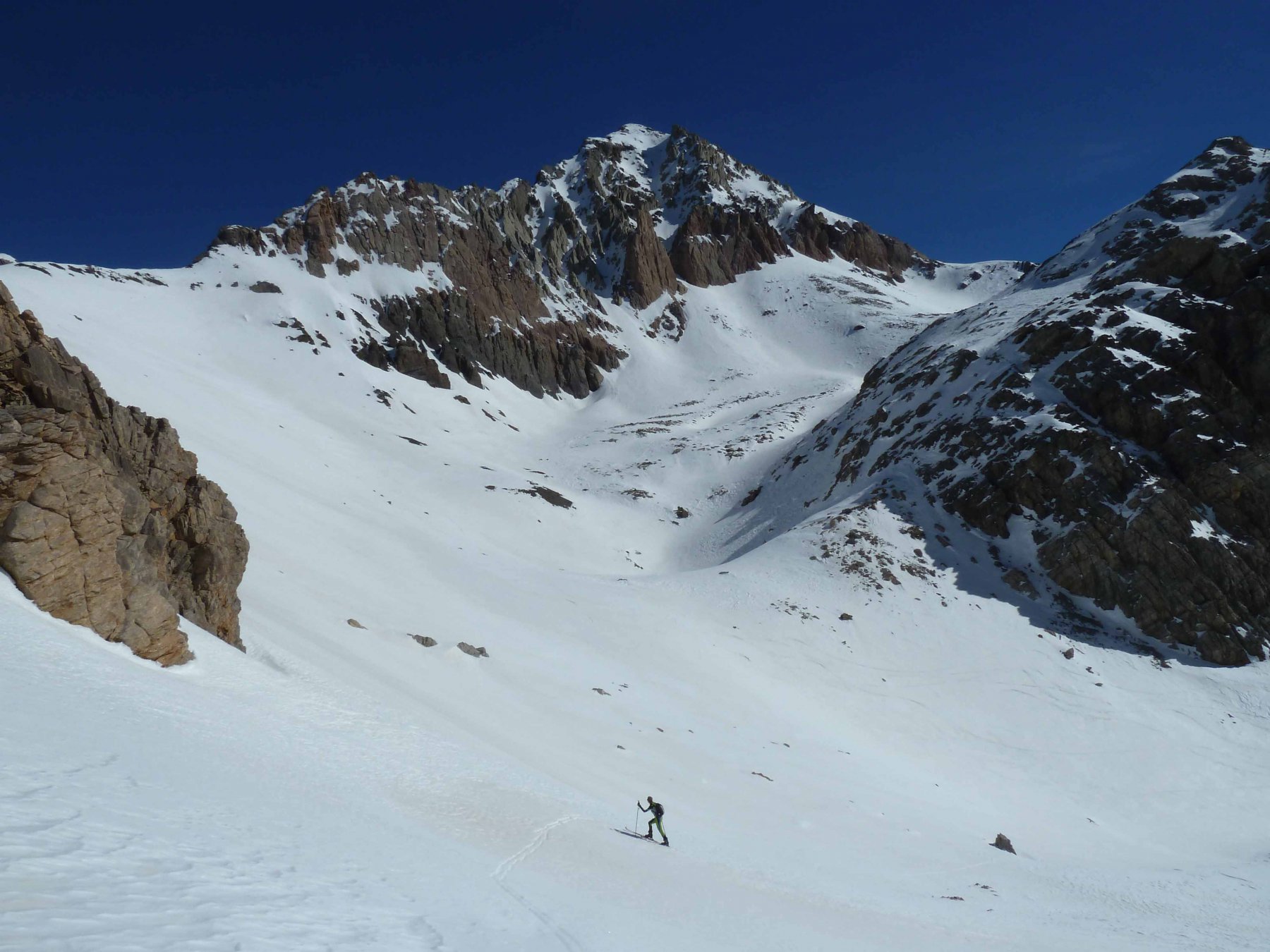
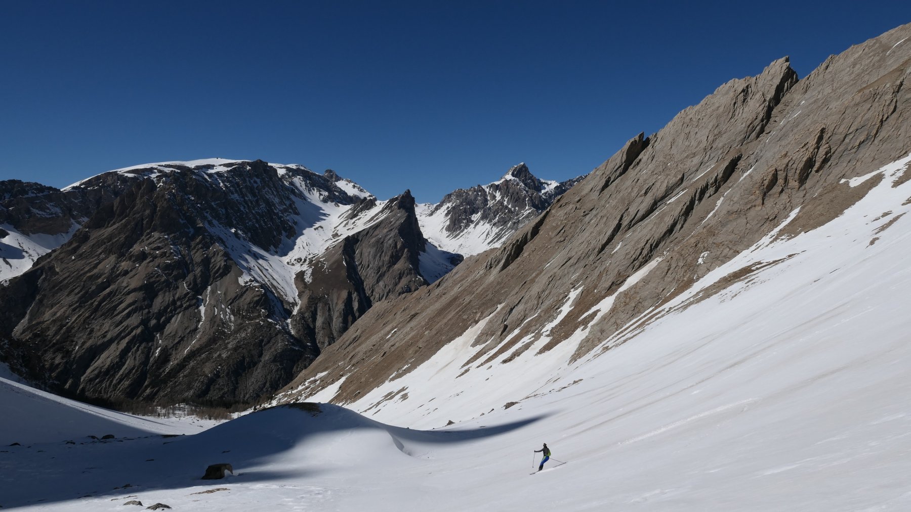
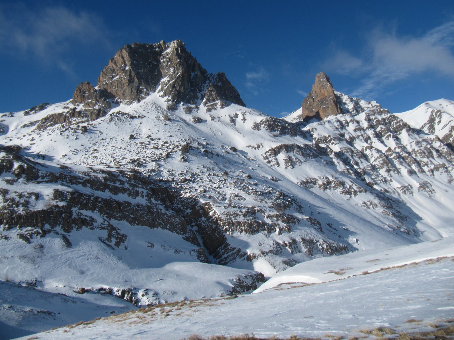
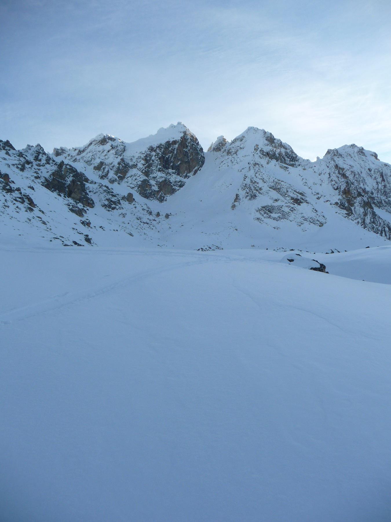
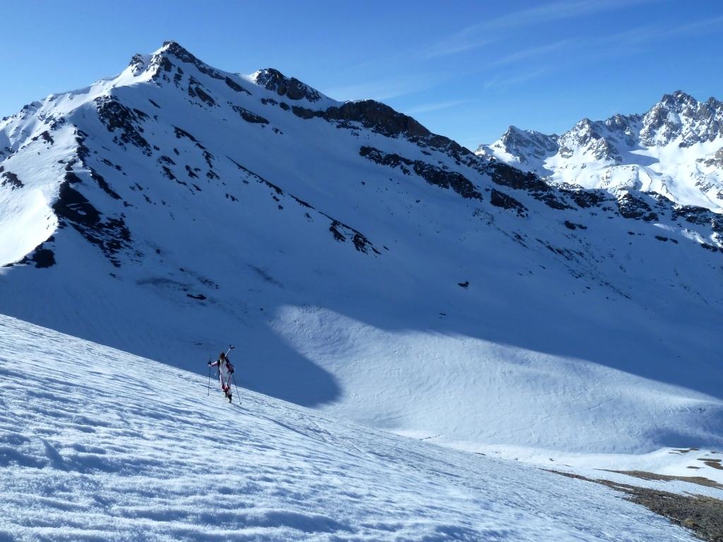
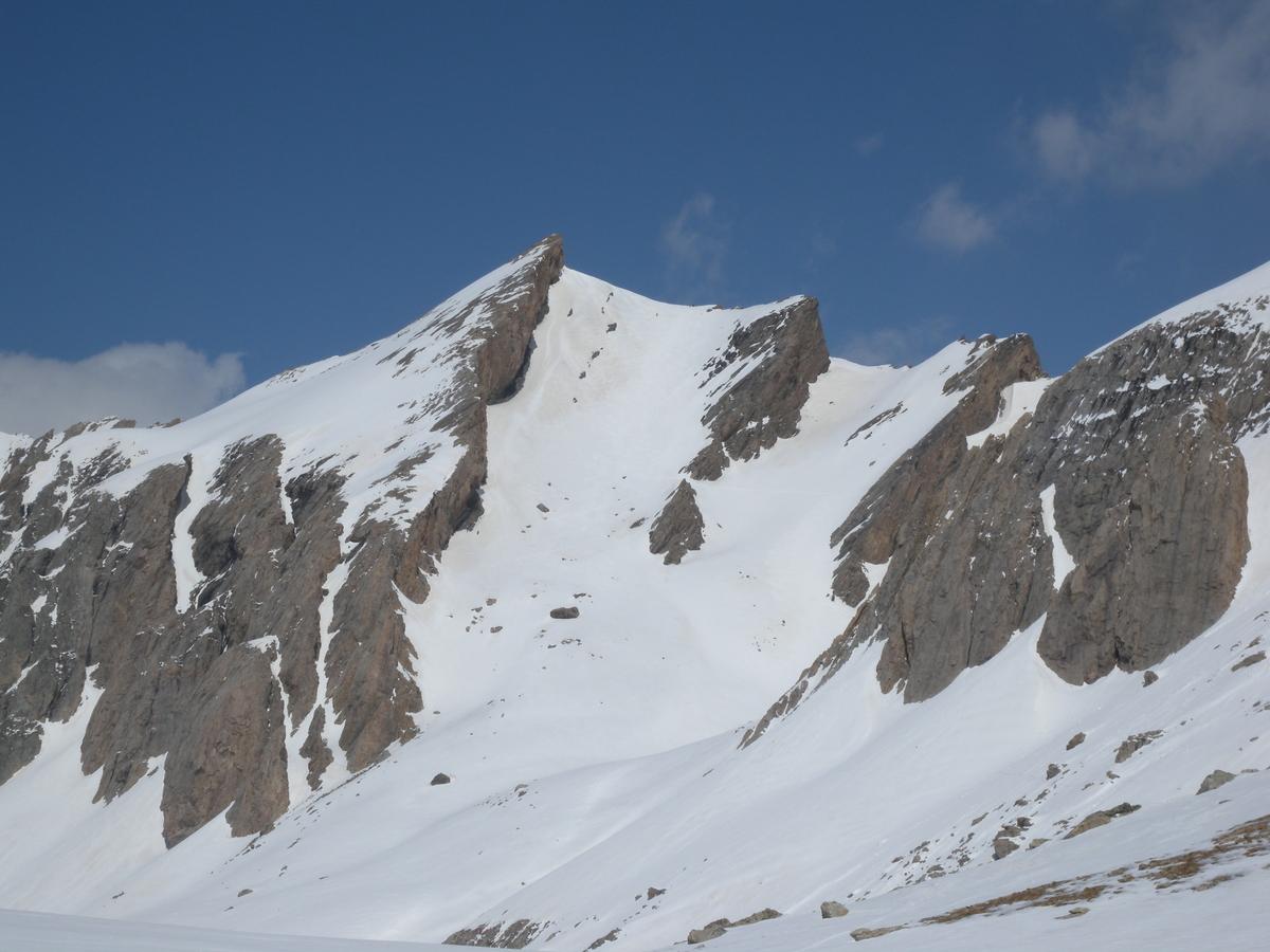
In corrispondenza del ponticello (1724 m) salire il sentiero per il col des Houerts ben segnalato sulla strada con palina. Proseguire la salita nel Vallon de Houerts fino a raggiungere la conca a quota 2800 m. Svoltare a dx per risalire la Conque de Panestrel fino a raggiungere il Pas de Gavia 3040 me risalire sempre sci ai piedi il ripido pendio che porta alla cima fin dove la pendenza e le condizioni della neve lo permettono. Poi con picca e ramponi raggiungere la vetta su ripido ed esposto pendio misto roccia e neve.
- Cartografia:
- 3538 IGM
- Bibliografia:
- Edizione blu Campana n°96
Nelle vicinanze Mappa
Itinerari
26/02/2017 Alpes-de-Haute-Provence, Saint-Paul-sur-Ubaye D+ 1314 m BS Sud-Est
Escreins (Pointe d’) dal Vallon des Houerts
 50m
50m
16/03/2019 Alpes-de-Haute-Provence, Saint-Paul-sur-Ubaye D+ 1664 m BS Nord
Aval (Pointe d’) o Pointe de Chauvet dal Vallon de Chauvet
 1.9Km
1.9Km
10/04/2004 Alpes-de-Haute-Provence, Saint-Paul-sur-Ubaye D+ 1350 m BS Nord
Escreins (Pointe des) da Maljasset, traversata a Guillestre
2.1Km
05/04/2025 Alpes-de-Haute-Provence, Saint-Paul-sur-Ubaye D+ 1050 m BS Nord-Ovest
Large (Aiguille) da Maljasset, anello Vallon de Mary – Vallon de Teste
 4.1Km
4.1Km
08/12/2014 Alpes-de-Haute-Provence, Saint-Paul-sur-Ubaye D+ 1221 m BS Varie
Basse de Mary (Pointe) da Maljasset
 4.1Km
4.1Km
13/05/2025 Alpes-de-Haute-Provence, Saint-Paul-sur-Ubaye D+ 1071 m MS Nord-Ovest
Large (Aiguille) da Maljasset, giro dell’Aiguille Pierre Andrè
4.1Km
13/01/2011 Alpes-de-Haute-Provence, Saint-Paul-sur-Ubaye D+ 962 m BS Ovest
Alpet (l’) da Maljasset
 4.1Km
4.1Km
06/04/2015 Alpes-de-Haute-Provence, Saint-Paul-sur-Ubaye D+ 1221 m BS Nord-Ovest
Basse de Mary (Pointe)da Maljasset per il versante NO
 4.1Km
4.1Km
06/04/2014 Alpes-de-Haute-Provence, Saint-Paul-sur-Ubaye D+ 1294 m OSA Varie
Fenetre de Mary (Pointe de la) da Maljasset
 4.1Km
4.1Km
14/01/2023 Alpes-de-Haute-Provence, Saint-Paul-sur-Ubaye D+ 1065 m BS Sud
Rissace (Tete du) o le Longet da Maljasset per la Tiéouré e il col Albert
 4.1Km
4.1Km