 2.8Km
2.8Km


Note
Storico
 50m
50m
250m
850m
900m
900m
950m
950m
950m
950m
50m
50m
250m
850m
900m
900m
950m
950m
950m
950m
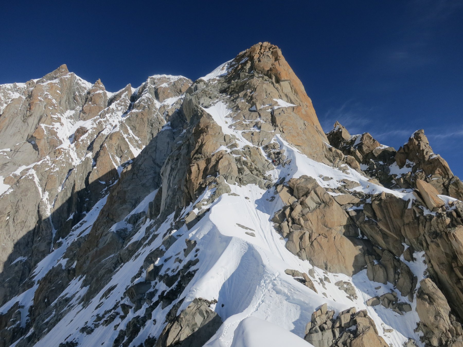
Bella via ,
Roccia discreta in basso e ottima in alto, goulotte profonde , ghiaccio e dry
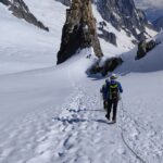
Avvicinamento
Roccia discreta in basso e ottima in alto, goulotte profonde , ghiaccio e dry
Dal Rifugio Torino leggermente in discesa , lungo la traccia che porta al Dente e al colle di Marbree , fino al punto in cui la traccia comincia a salire.
La parete si trova sulla destra 15 min dal rifugio.
Descrizione
La parete si trova sulla destra 15 min dal rifugio.
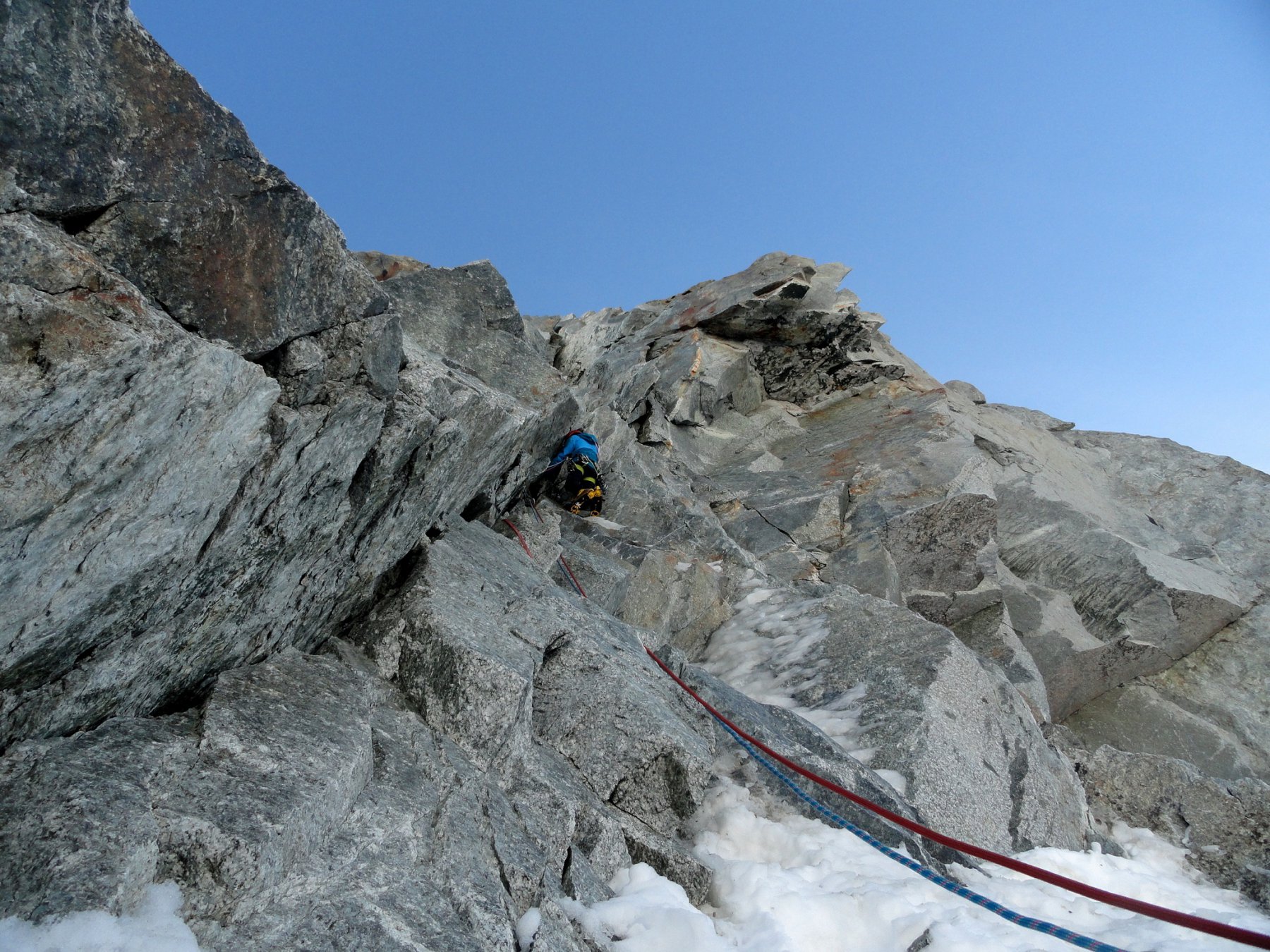
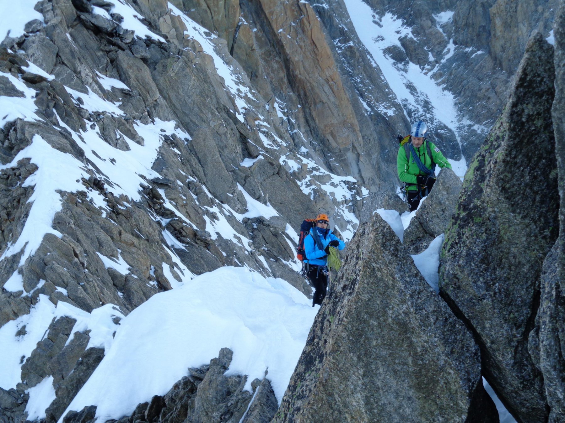
L1- 30m diedro 5a
L2-30m verso Dx 3 misto
L3-20m dritti verso il diedro camino 3 misto sosta sx
L4- 40m M5 chiodo a sx con cordino alla base del diedro sosta in cima alla goulotte a dx
L5-35m M6 subito a sx e dritti nella strettissima scomoda angusta goulotte sosta a sx
L6-30m 4+ a dx nel diedro fino alla spalla
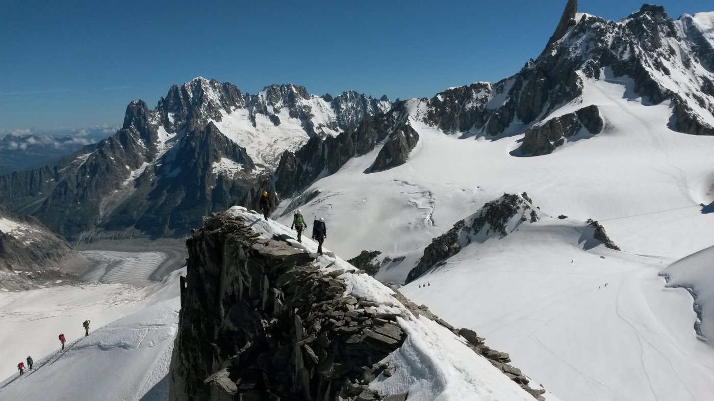
Doppie lungo la via , tranne l’ultima che si trova sulla verticale delle calate e non sulla linea di salita , cordone attorno spuntone
Prima salita: Elisabetta Ceaglio - Ezio Marlier 4-12-2016
Nelle vicinanze Mappa
Itinerari
08/12/2016 AO, Courmayeur D+ 230 m TD+ Nord-Ovest
Marbrées (Aiguilles) – The Secular
 50m
50m
09/12/2016 AO, Courmayeur TD+ Nord-Ovest
Marbrées (Aiguilles) – Via Ottavio Deanoz
 50m
50m
04/02/2024 AO, Courmayeur D+ Nord
Marbrées (Aiguilles) – Directe des Cristallier
 250m
250m
08/06/2025 Haute-Savoie, Chamonix-Mont-Blanc D+ 400 m PD- Ovest
Toules (Aiguilles des) Versante NW e cresta NW
 850m
850m
11/07/2016 AO, Courmayeur D+ 900 m PD+ Sud-Ovest
Tour Ronde – Cresta SO dal Col du Trident
 900m
900m
02/06/2023 AO, Courmayeur D+ 250 m PD+ Varie
Vierge (la) da Punta Helbronner
 900m
900m
06/09/2025 Haute-Savoie, Chamonix-Mont-Blanc D+ 350 m AD Varie
Entreves (Aiguille d’) Cresta SO
 950m
950m
13/07/2025 Haute-Savoie, Chamonix-Mont-Blanc D+ 1300 m D Sud-Est
Maudit (Mont) Cresta Kuffner
 950m
950m
27/12/2015 AO, Courmayeur D+ 251 m AD Nord
Fourche (Colle della) da Punta Helbronner
 950m
950m
14/07/2024 AO, Courmayeur D+ 850 m F Varie
Lachenal (Pointe) Via Normale
 950m
950m
