 2Km
2Km
Note
 6.6Km
8Km
9.7Km
10.4Km
11Km
12.2Km
6.6Km
8Km
9.7Km
10.4Km
11Km
12.2Km
2Km
2.1Km
3.6Km
3.9Km
3.9Km
5.9Km
7.8Km
7.9Km
8Km
9.6Km
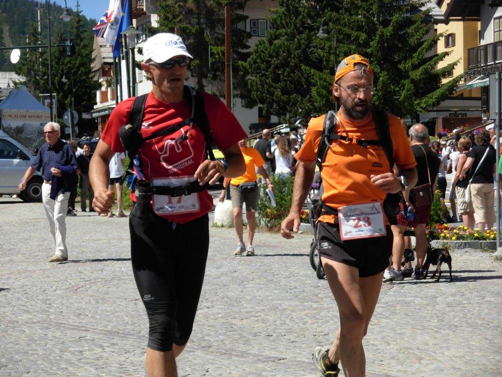
Percorso utilizzato anche nelle gare trail di Oulx
Avvicinamento
.
Descrizione
Partendo dalla piazza del Municipio di Oulx attraversare il ponte sulla Dora e proseguire dritto tra alcune case. Subito a destra una ripida stradina-sentiero con fondo sassoso (cartello indicatore ovk) conduce a fianco di alcune case. Proseguire diritti su sentiero ripido indicato con segni blu e cartelli con scritto “OVK”.
Si attraversa la strada in alcuni punti e su sentiero sempre ben evidente tra pinete e radure si raggiunge la bella chiesetta posta in ottimo punto panoramico.
La lunghezza totale è di 5,2 km per 1035 mt di D+. quindi ottimo allenamento.
- Cartografia:
- Fraternali 1:25.000 n.1 Alta Valle di Susa
Nelle vicinanze Mappa
Itinerari
18/07/2014 TO, Oulx D+ 2890 m Varie
Madonna del Cotoliver (Cappella) e Punta Colomion da Oulx, anello per Beaulard e Rifugio Guido Rey
50m
02/09/2024 TO, Sauze d'Oulx D+ 900 m Tutte
Assietta (Testa dell’) da Monfol
6.2Km
06/07/2019 TO, Cesana Torinese D+ 2000 m Tutte
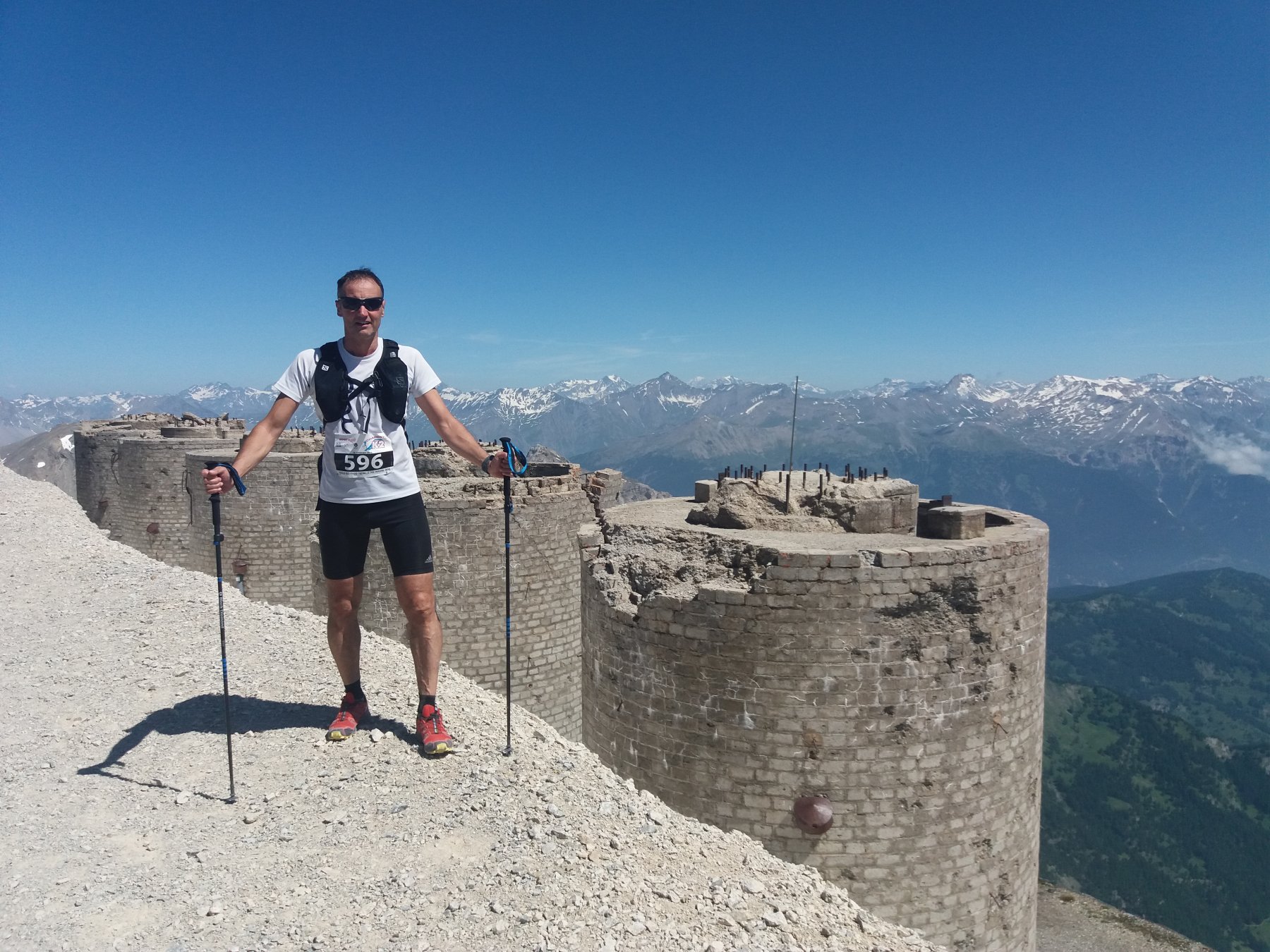
Chaberton (Monte) da Fenils, anello ITINERARIO NON PERCORRIBILE
 6.6Km
6.6Km
31/05/2005 TO, Cesana Torinese D+ 880 m Sud-Est
Aigliere (Rocca d’) da Fenils
6.6Km
19/08/2024 TO, Oulx D+ 1000 m Nord
Rey Guido (Rifugio) da Beaulard per il vertical
 8Km
8Km
01/08/2010 TO, Cesana Torinese D+ 3256 m Varie
Chaberton (Monte) Marathon Trail des Fortes ITINERARIO NON PERCORRIBILE
 9.7Km
9.7Km
26/07/2015 TO, Sestriere D+ 750 m Tutte
Fraiteve (Monte) da Sestriere
9.9Km
05/10/2014 TO, Sestriere D+ 1600 m Varie
Sies (Monte) da Sestriere 3 Funivie Skyrace
 10.4Km
11/10/2014 TO, Pragelato D+ 820 m Nord-Est
Aigle (Pitre de l’) da Villardamond, anello
 11Km
11Km
10/12/2015 TO, Pragelato D+ 400 m Varie
Troncea (Rifugio) da Pattemouche
 12.2Km
Servizi
2Km
2.1Km
La Chardouse Rifugio
Oulx
3.6Km
L’Cantun B&B
Sauze D'oulx
3.9Km
orto del frate Ristorante
Sauze d'Oulx
3.9Km
paddy mc ginty Ristorante
Sauze d'Oulx
5.9Km
L’Eitabl Ristorante
Oulx
7.8Km
Dell’Orsa Bar
Oulx
7.9Km
Il Covo di nord ovest Ristorante
Salbertrand
8Km
Guido Rey Rifugio
Oulx
9.6Km

