 400m
400m
Note
 2.9Km
2.9Km
3.2Km
5.7Km
6.1Km
2.9Km
2.9Km
3.2Km
5.7Km
6.1Km
400m
400m
400m
400m
4.3Km
4.8Km
5.4Km
7.1Km
7.1Km
7.1Km
Versione 2 della Chaberton Marathon, con partenza da Cesana ed arrivo a Montgenèvre. Km. 42,5 Disl. positivo 3256 m., disl. negativo 2776 m. Più dura che la versione con partenza da Montgenèvre e arrivo a Cesana in quanto la salita allo Chaberton è tutta d'un fiato. A mio giudizio il cancello delle 4.30 ore di Claviere (a metà gara)è troppo selettivo, considerato che il tempo massimo complessivo per terminare la gara è fissato in 10 ore.
Avvicinamento
A CAUSA DI UNA VASTA FRANA CHE IL 3 LUGLIO 2019 HA FATTO FRANARE UN PEZZO DI STRADA L'ITINERARIO NON E' ATTUALMENTE PERCORRIBILE, VIGE UNA ORDINANZA SINDACALE CHE NE VIETA IL TRANSITO.
Descrizione
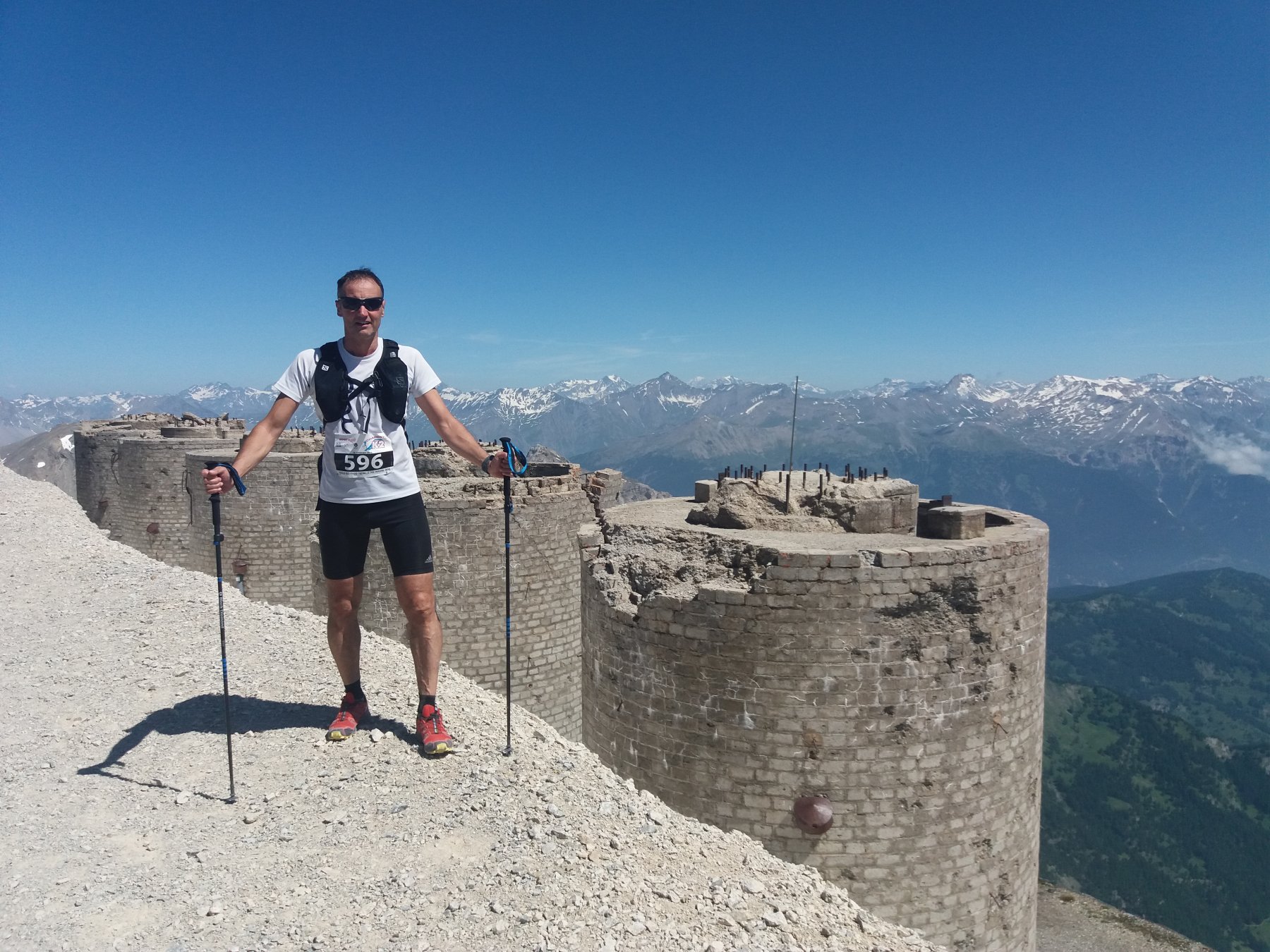
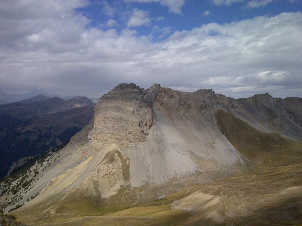
Da Cesana Torinese, con percorso ondulato si giunge a Fenils dove ha inizio la lunga ascesa che ci porta ai 3131 m. dello Chaberton, il forte più alto d’Europa, punto culminante della gara.
La discesa ripercorre il percorso diretto fatto in salita su terreno tecnico e ghiaioso. Raggiunto nuovamente il colle, su terreno nettamente migliore si scende a Claviere, dove ha termine la K22.
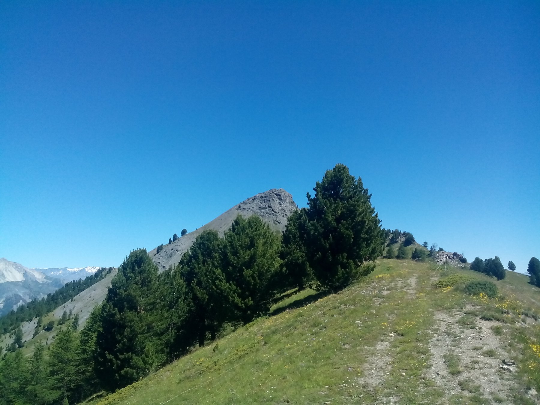
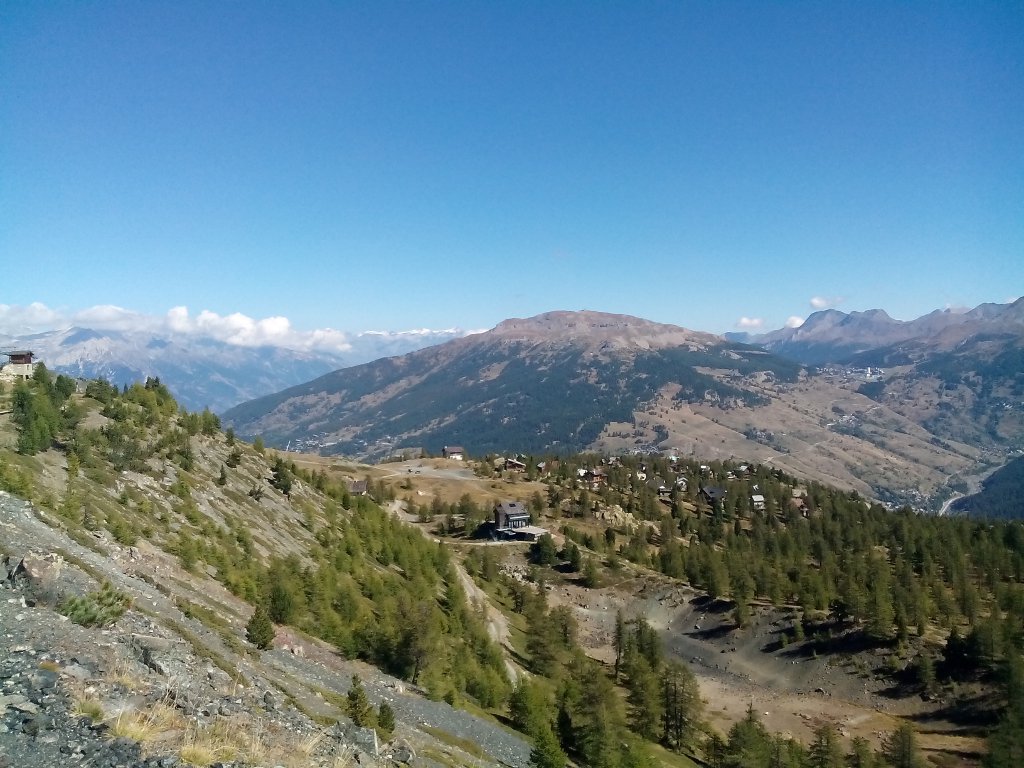
Qui ha inizio la risalita per le piste, (tratto ripido e monotono), che ci porta sulle creste spartiacque del confine franco-italiano; il percorso si snoda ora su sentieri militari con belle vedute sulle fortificazioni e lo Chaberton che abbiamo lasciato alle nostre spalle. Ci attendono ancora le salite non lunghe alle cime dello Chenaillet, del Gondrand e dello Janus, quest’ultima un pò più tecnica, forse perchè la fatica ora si fa sentire… Da qui non resta che la discesa, non lunga e su buon terreno sino a Montgenèvre.
Nelle vicinanze Mappa
Itinerari
17/08/2016 TO, Cesana Torinese D+ 630 m Tutte
Gimont (Mont) o Grand Charvia da Sagnalonga, traversata per Colletto Verde e Lac Gignoux
2.9Km
30/07/2016 TO, Cesana Torinese D+ 575 m Varie
Begino e Chabaud (Colli) da Sagnalonga, anello per il Lago Nero
2.9Km
12/08/2018 TO, Cesana Torinese D+ 800 m Varie
Corbioun (Monte) da Sagnalonga, anello per Colle Begino, Lago Nero, Capanna Mautino, Colle Bercia
 2.9Km
2.9Km
15/08/2016 TO, Cesana Torinese D+ 440 m Nord
Rascià (Punta) da Sagnalonga, anello
2.9Km
14/08/2018 TO, Cesana Torinese D+ 581 m Tutte
Gignoux (Lago) o dei Sette Colori da Sagnalonga, anello per Capanna Mautino, Colle Bercia, Col Saurel
 2.9Km
2.9Km
31/05/2005 TO, Cesana Torinese D+ 880 m Sud-Est
Aigliere (Rocca d’) da Fenils
3.2Km
06/07/2019 TO, Cesana Torinese D+ 2000 m Tutte
Chaberton (Monte) da Fenils, anello ITINERARIO NON PERCORRIBILE
 3.2Km
3.2Km
06/08/2025 TO, Cesana Torinese D+ 1383 m Varie
Gimont, Saurel, Corbioun, Fournier (Cime) dal Lago Nero, anello
 5.7Km
5.7Km
25/08/2012 Hautes-Alpes, Montgenèvre D+ 800 m Varie
Grand Chalvet (le) da Montgenèvre
 6.1Km
6.1Km
03/08/2008 Hautes-Alpes, Montgenèvre D+ 6032 m Varie
Chaberton (Monte) Skyrace Marathon dei Forti ITINERARIO NON PERCORRIBILE
7.4Km
Servizi
400m
400m
Casa Cesana Bar
Cesana Torinese
400m
L’Ibarus Rifugio
Cesana Torinese
400m
Piergiorgio Frassati B&B
Cesana Torinese
4.3Km
Centro Ristorante
Cesana Torinese
4.8Km
Baita Gimont Rifugio
Claviere
5.4Km
La Fontana del Thures Rifugio
Cesana Torinese
7.1Km
La Crota B&B
Cesana Torinese
7.1Km
da Carlo Rifugio
Cesana Torinese
7.1Km

