1.5Km
1.5Km
Avvicinamento
 50m
50m
50m
50m
50m
50m
50m
50m
50m
50m
50m
50m
50m
50m
50m
50m
1.5Km
2.6Km
2.9Km
3.3Km
3.3Km
5.2Km
5.3Km
5.3Km
6.8Km
7.2Km
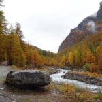
Da Pinerolo si segue la SS23 del Sestriere risalendo la Val Chisone fino a Pragelato. Dopo le ultime frazioni, si scende alla rotonda a Pattemouche seguendo le indicazioni per la Val Troncea. In corrispondenza del grosso parcheggio di Pattemouche il fondo diventa sterrato. Si attraversa il ponte sul Chisone e si prosegue ancora per alcuni km oltre Laval, dove si trova un grosso piazzale adibito a posteggio dove occorre lasciare l'auto. Nel periodo estivo l'accesso è a pagamento (dalle 8 in poi pagando all'addetto).
E' anche in funzione un bus navetta che collega Pragelato al bivio per il Rifugio Troncea (anno 2025)
Descrizione
E' anche in funzione un bus navetta che collega Pragelato al bivio per il Rifugio Troncea (anno 2025)
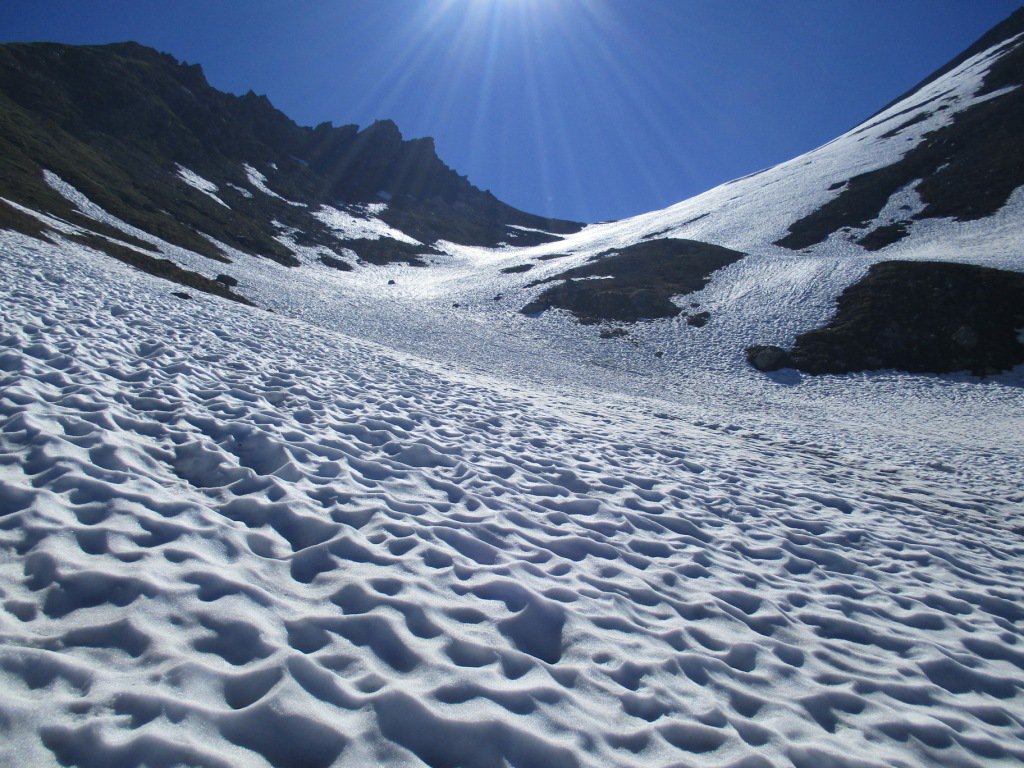
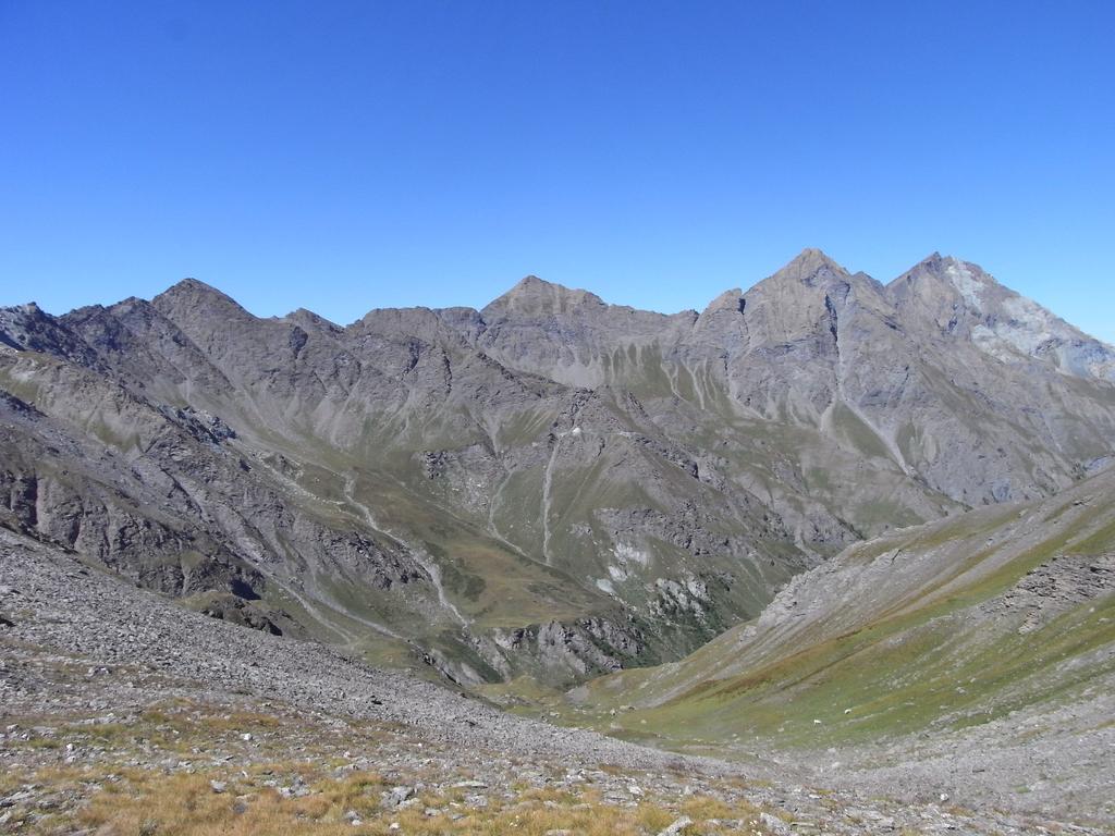
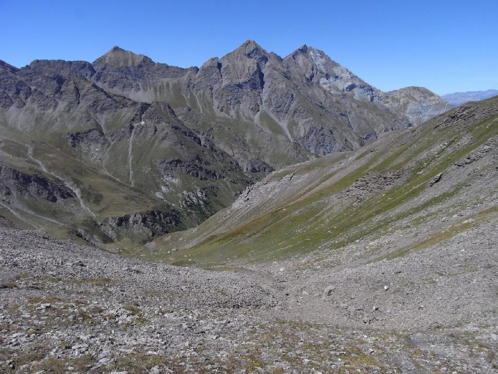
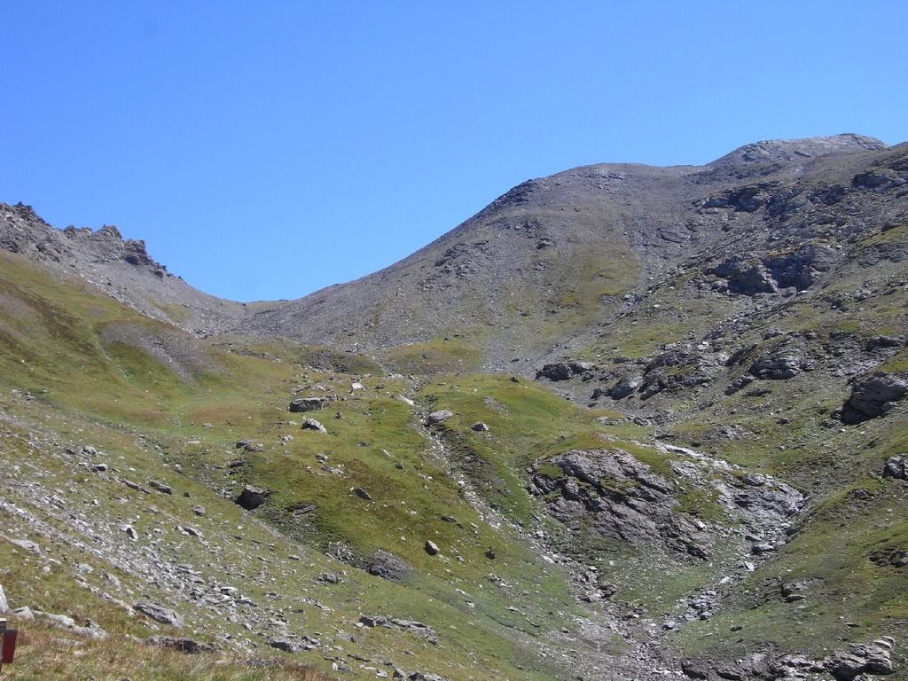
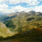
Si percorre la lunga sterrata seguendo le indicazioni per l’alpeggio Mey, senza quindi passare dal Rifugio Troncea (utile come punto di appoggio per spezzare la gita in due giorni) e da questo, piegare verso sinistra salendo per l’ampio vallone erboso sul sentiero 322 per il colle della Valletta, percorso sempre ben indicato con paletti in legno e tacche bianco rosse.
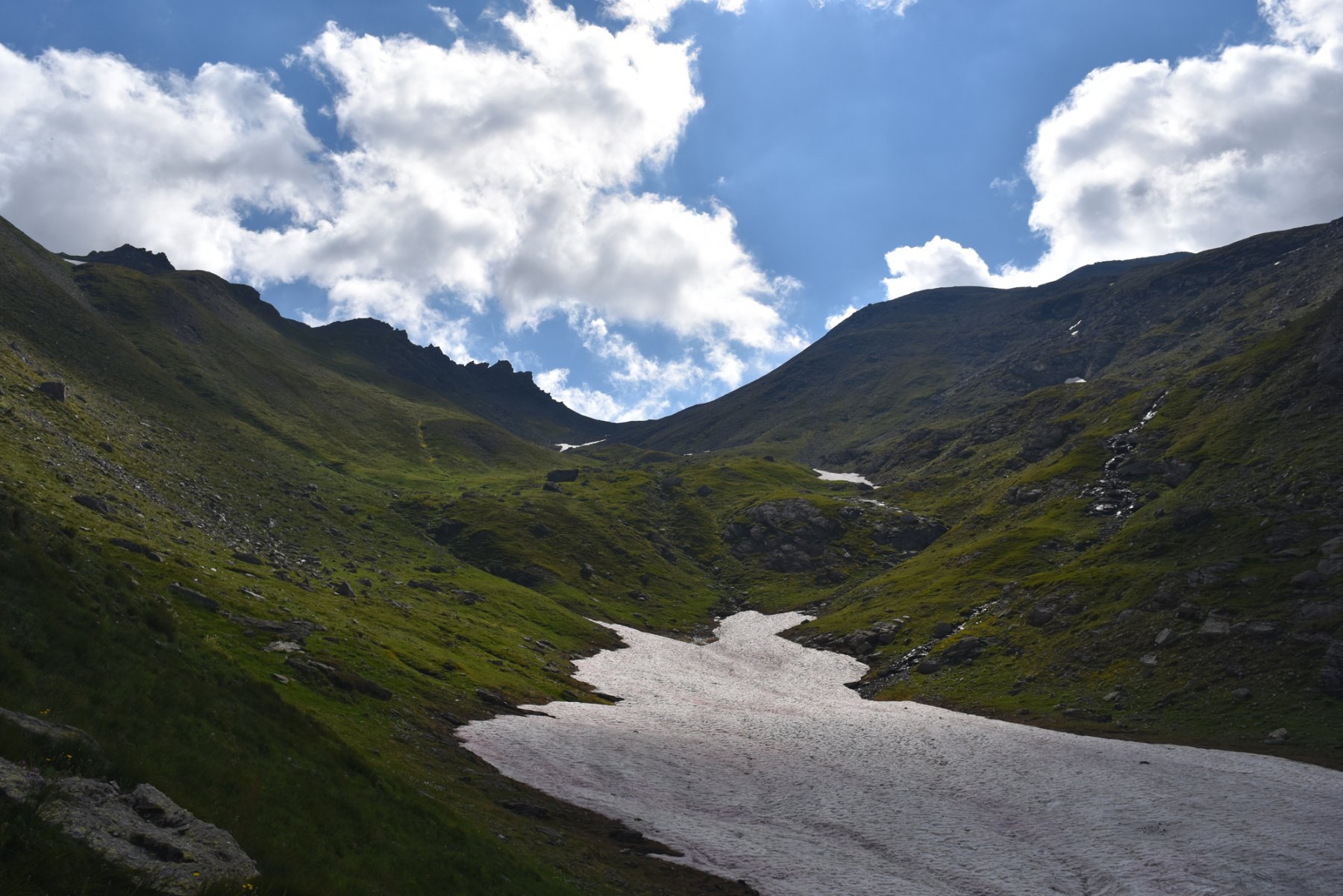
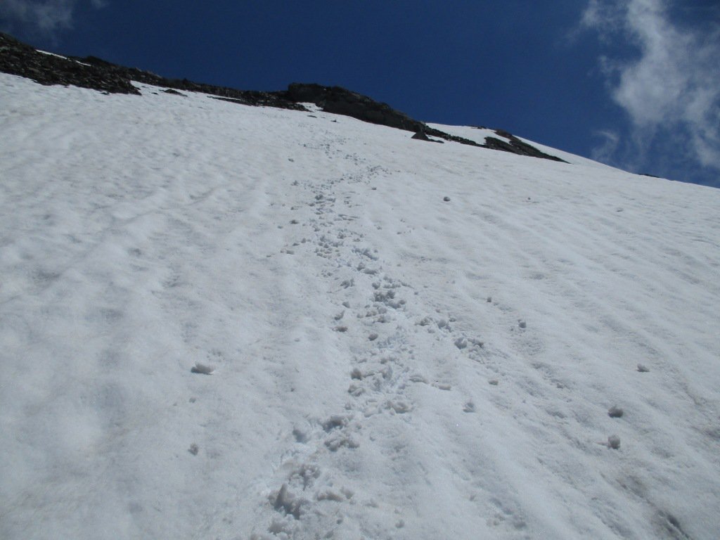
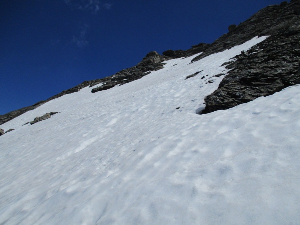
Dal Colle per il Monte Lungin reperire una vaga traccia tra i detriti sul ripido pendio nord, ampio e segnalato da alcuni sporadici ometti di pietre, fino a guadagnare il costone per un breve tratto erboso, poi nuovamente detritico, che porta al di sotto della crestina rocciosa che porta in cima.
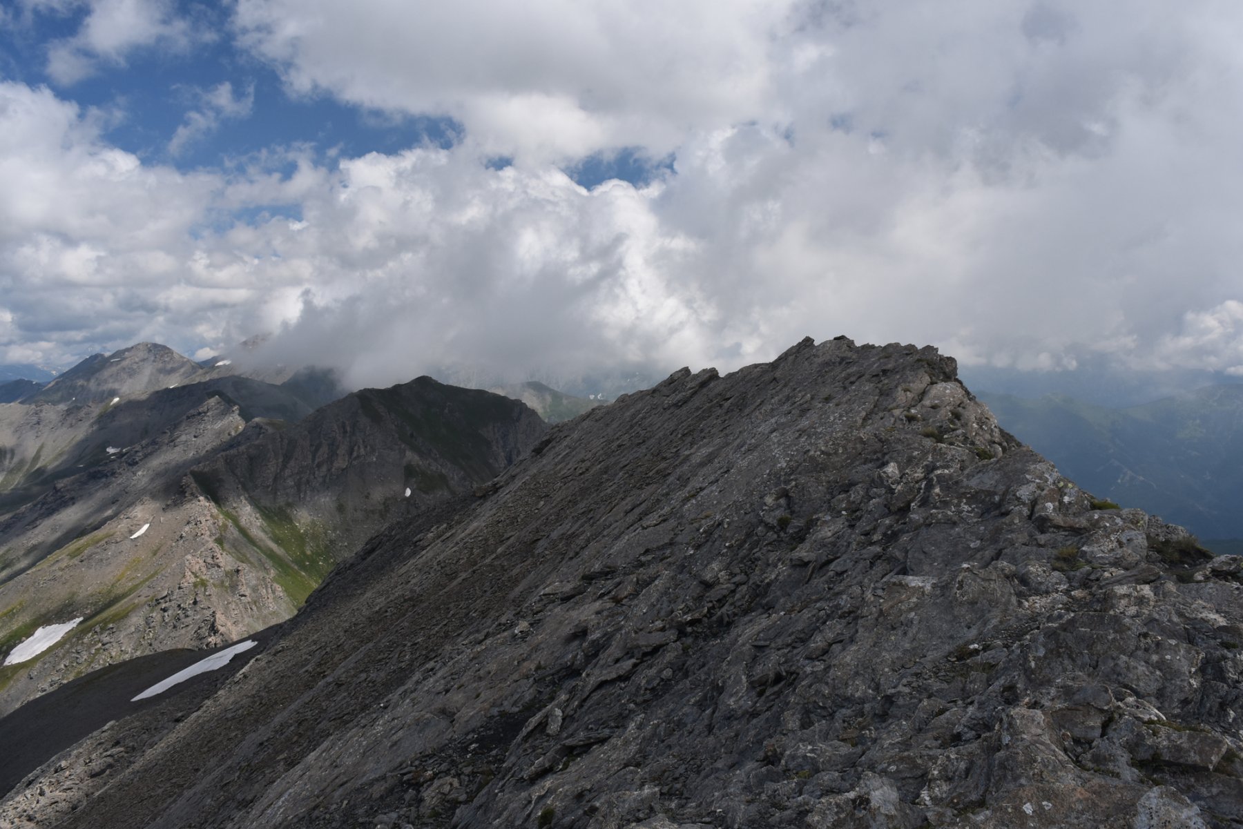
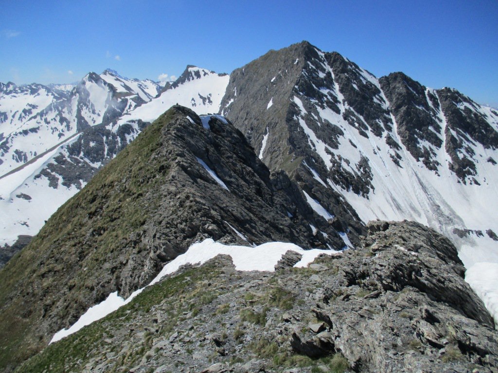
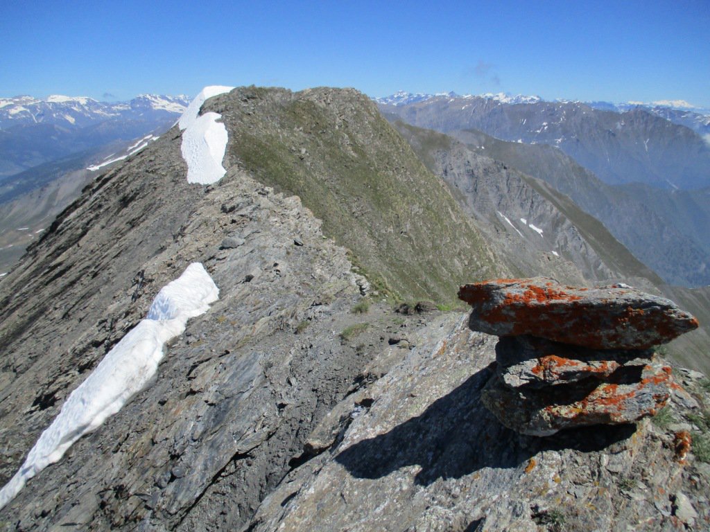
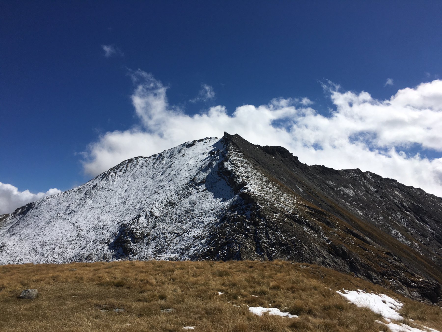
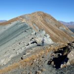
Aggirato il primo ostacolo roccioso sul versante ovest, bisogna immediatamente salire in cresta superando una facile placca dove si usano le mani (I). La cresta è ben camminabile e priva di reali ostacoli, ma è piuttosto aerea ed a tratti affilata e richiede una certa attenzione anche per l’eventuale presenza di detrito sulle rocce scistose. Il percorso è pressochè orizzontale fino al punto culminante spostato verso sud-ovest.
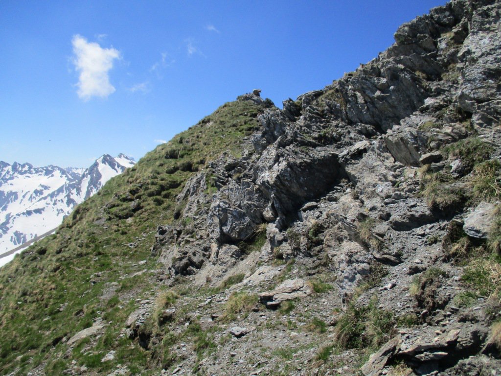
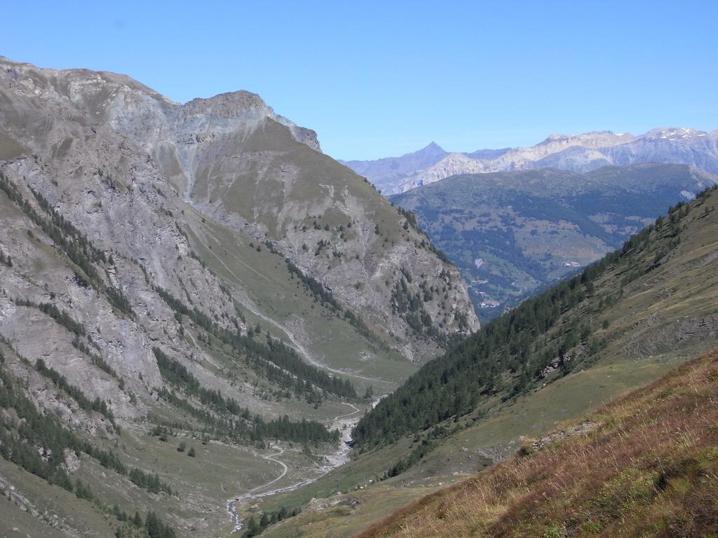
Per il Monte Pignerol invece, dal Colle della Valletta si scende di qualche metro verso nord sul versante Val Troncea, seguendo una traccia abbastanza marcata e che aggira dal basso il versante ovest della prima parte della cresta, che in alto è caratterizzata dalla presenza di un susseguirsi di torrioni.
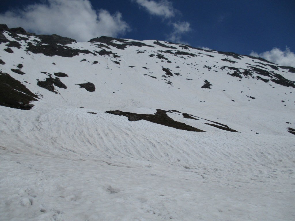
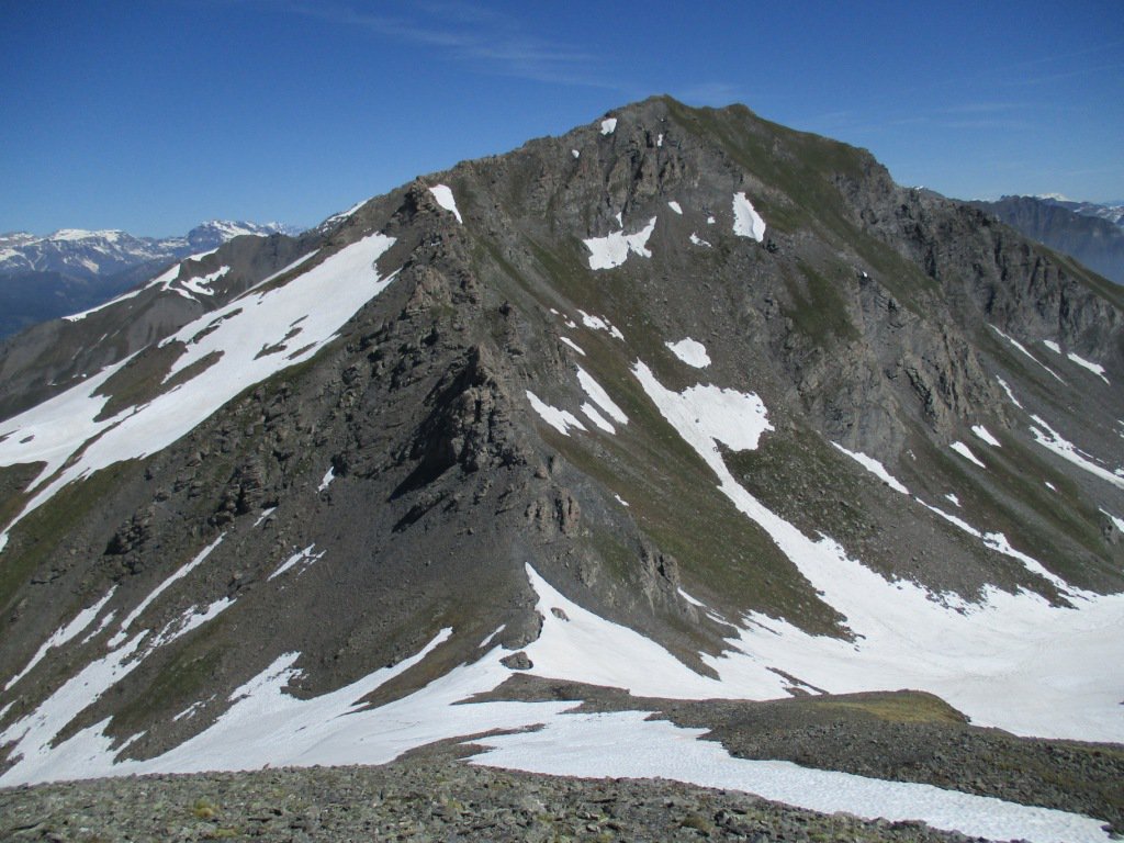
Seguendo gli ometti, abbastanza numerosi e situati in punti strategici, si attraversano un paio di canalini franosi ma non difficoltosi o esposti, guadagnando una piccola dorsale erbosa che si affaccia su un successivo ampio pendio erboso. Qui si traversa quasi in piano puntando al raggiungimento di una seconda dorsale, alla quale si accede in vari punti (un po’ più in basso è il passaggio più comodo su erba). Si sale la dorsale per riportarsi nei pressi della cresta nord-ovest e seguendo la buona traccia si raggiunge una zona nuovamente più rocciosa. Qui si può scegliere se proseguire alti superando alcune zone un po’ più difficoltose in mezzo a lastroni di rocce ricoperte da detrito, oppure più comodamente (a vista) scendere di 30 m sul versante nord-ovest puntando a degli ampi terrazzi di pietrame e detrito, dove con attenzione si individua anche una traccia di sentiero. Traversando a mezza costa in progressiva ascesa, si sale il pendio che non presenta alcun ostacolo, e giunti non distanti dallo spartiacque con il Vallone di Salza, si sale più marcatamente verso la cima con la croce già visibile e che si tocca senza difficoltà.
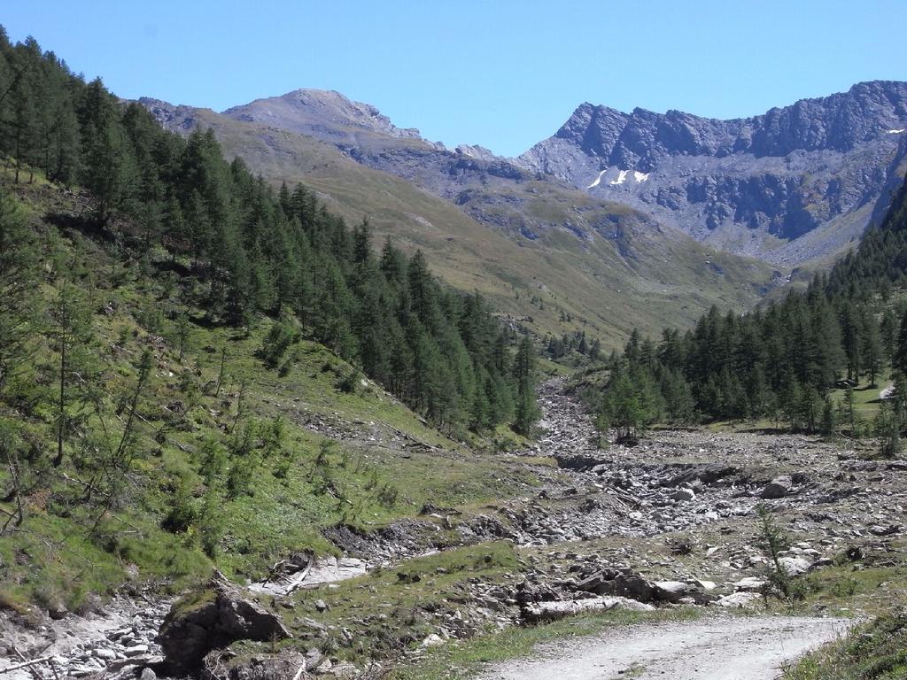
La discesa può essere effettuata tornando al Colle della Valletta oppure scendere il pendio detritico direttamente dalla croce di vetta, spostandosi diagonalmente sul lato dx del vallone e, arrivati in prossimità del rio principale, attraversarlo ed intercettare il sentiero ben segnato per il Passo della Pennazza che a ritroso riporta all’alpeggio del Mey.
Nelle vicinanze Mappa
Itinerari
04/10/2025 TO, Pragelato D+ 1080 m E Ovest
Morefreddo (Monte) da Laval
 50m
50m
01/09/2021 TO, Pragelato D+ 1336 m E Ovest
Beth (Punta del) o Bric di Mezzogiorno da Laval
 50m
50m
05/03/2025 TO, Pragelato D+ 430 m T Nord-Ovest
Troncea (Rifugio) da Laval
 50m
50m
20/10/2013 TO, Pragelato D+ 515 m T Varie
Mey (Bergerie del) dalla Val Troncea
 50m
50m
31/10/2020 TO, Pragelato D+ 800 m E Nord
Clapis (Col) da Laval
 50m
50m
27/07/2025 TO, Pragelato D+ 1500 m EE Tutte
Appenna (Monte) e Punta Fauri Sud da Laval, anello per Col Clapis e Colle Fauri
 50m
50m
01/11/2025 TO, Pragelato D+ 2741 m EE Nord-Ovest
Pelato (Monte) da Laval
50m
09/10/2021 TO, Pragelato D+ 1219 m EE Ovest
Peolioso (Monte) da Laval per i Colli del Beth e Ghinivert
50m
12/11/2025 TO, Pragelato D+ 1209 m E Nord
Banchetta (Monte) da Laval per il Vallonetto e il Passo della Banchetta
 50m
50m
17/08/2020 TO, Pragelato D+ 1367 m E Nord-Est
Appenna (Monte) da Laval per il Col Clapis
 50m
50m
Servizi
1.5Km
2.6Km
Troncea Rifugio
Pragelato
2.9Km
Refugium – ex. Rif. Belotte Rifugio
Pragelato
3.3Km
La capanna del sole Ristorante
Pragelato
3.3Km
Al Mulino Ristorante
Pragelato
5.2Km
Casa degli Escartons Alex Berton B&B
Pragelato
5.3Km
Casa Alpina Rifugio
Pragelato
5.3Km
Passet Ristorante
Pragelato
6.8Km
L’itialette Ristorante
Pragelato
7.2Km