5Km
5Km


Note
Storico
 500m
600m
750m
850m
1.3Km
1.4Km
1.5Km
1.5Km
1.6Km
500m
600m
750m
850m
1.3Km
1.4Km
1.5Km
1.5Km
1.6Km
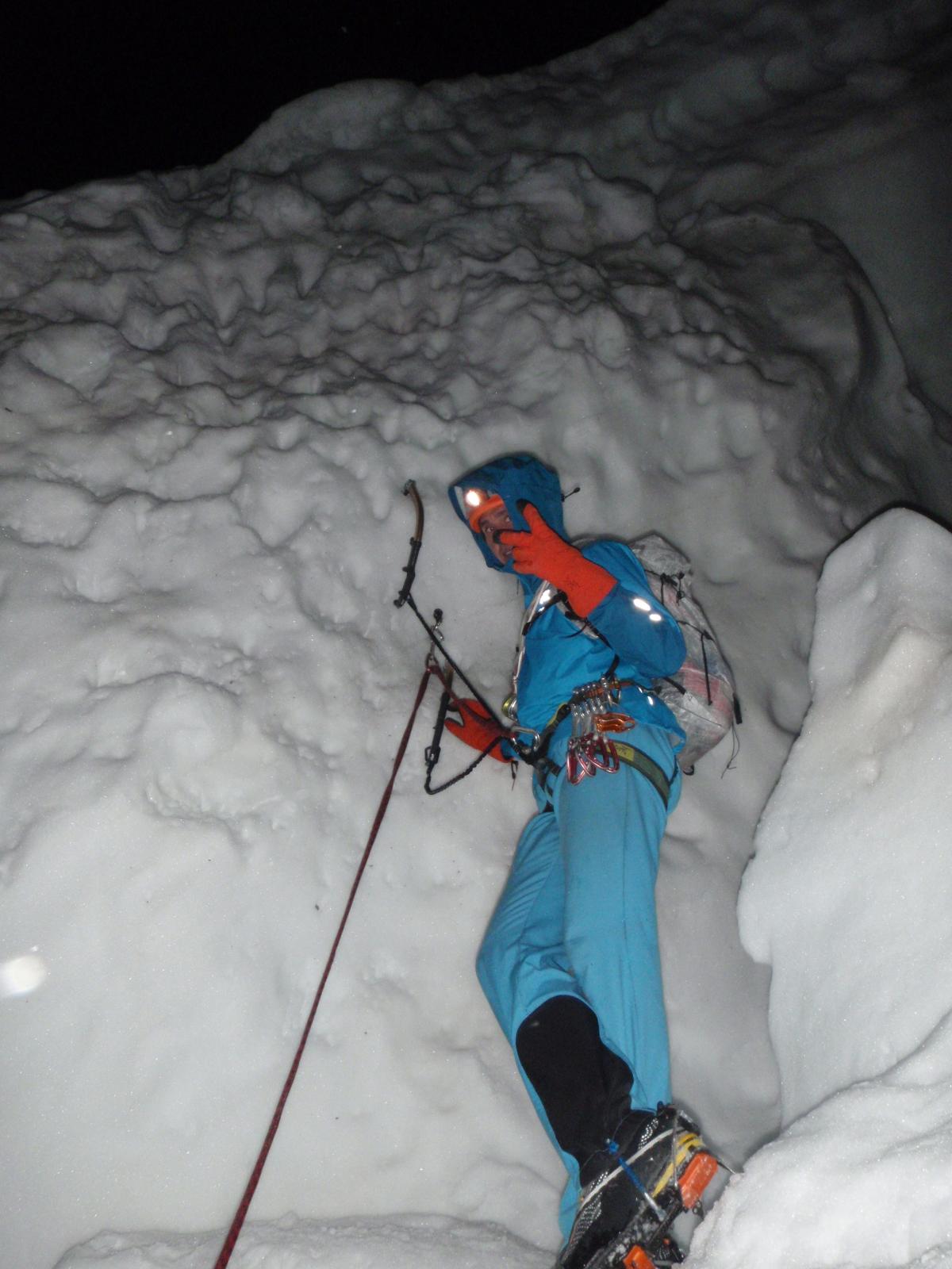
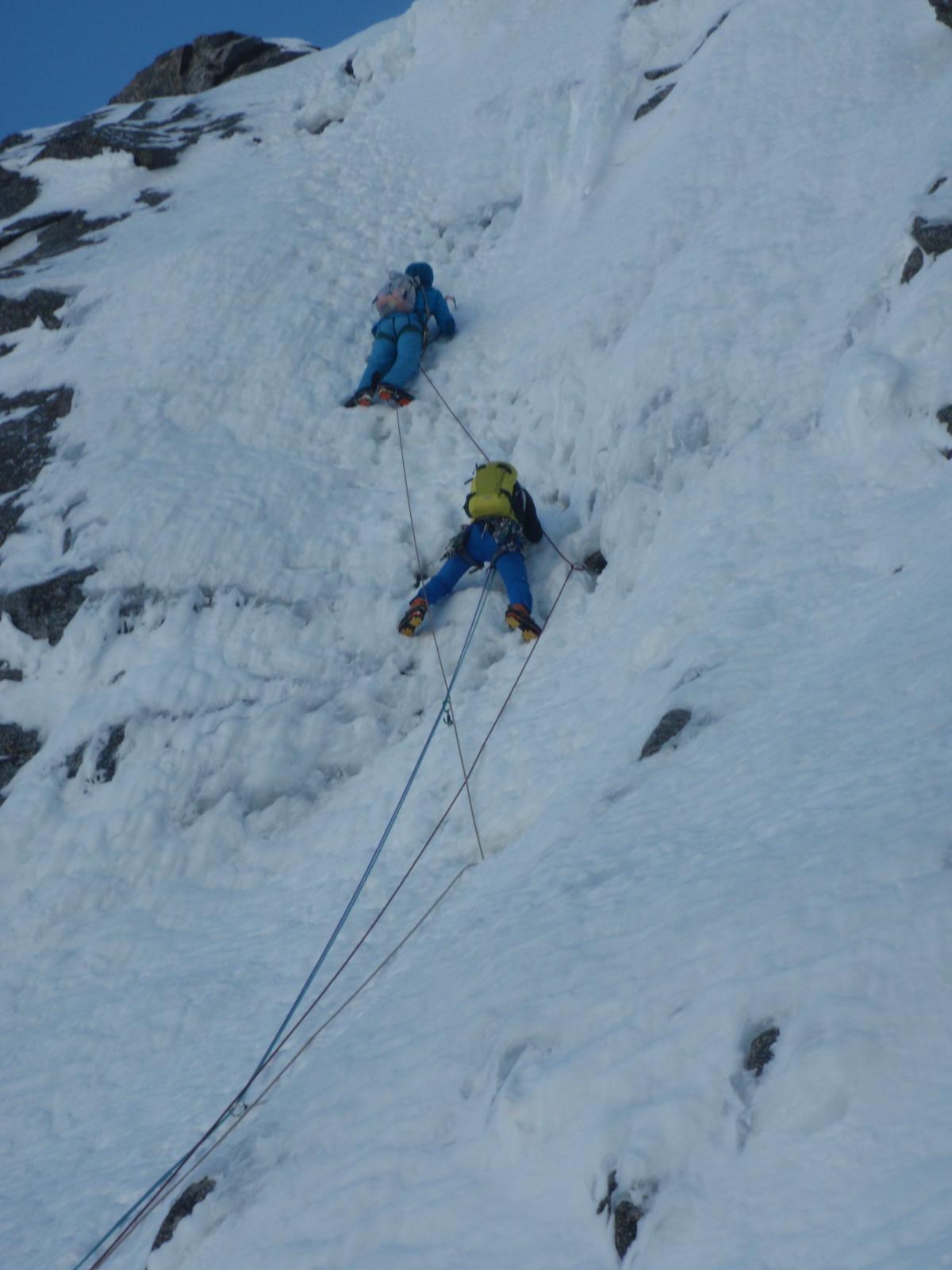
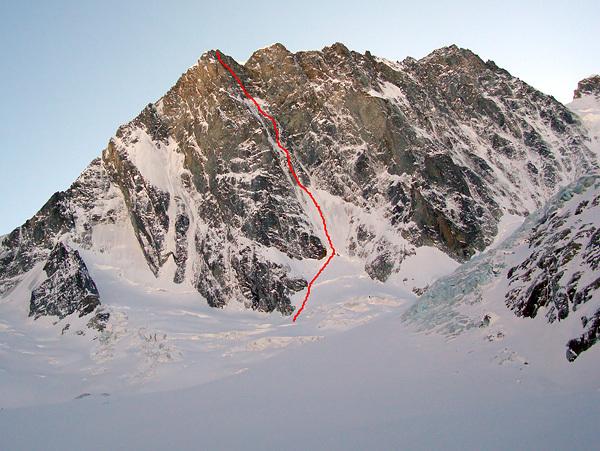
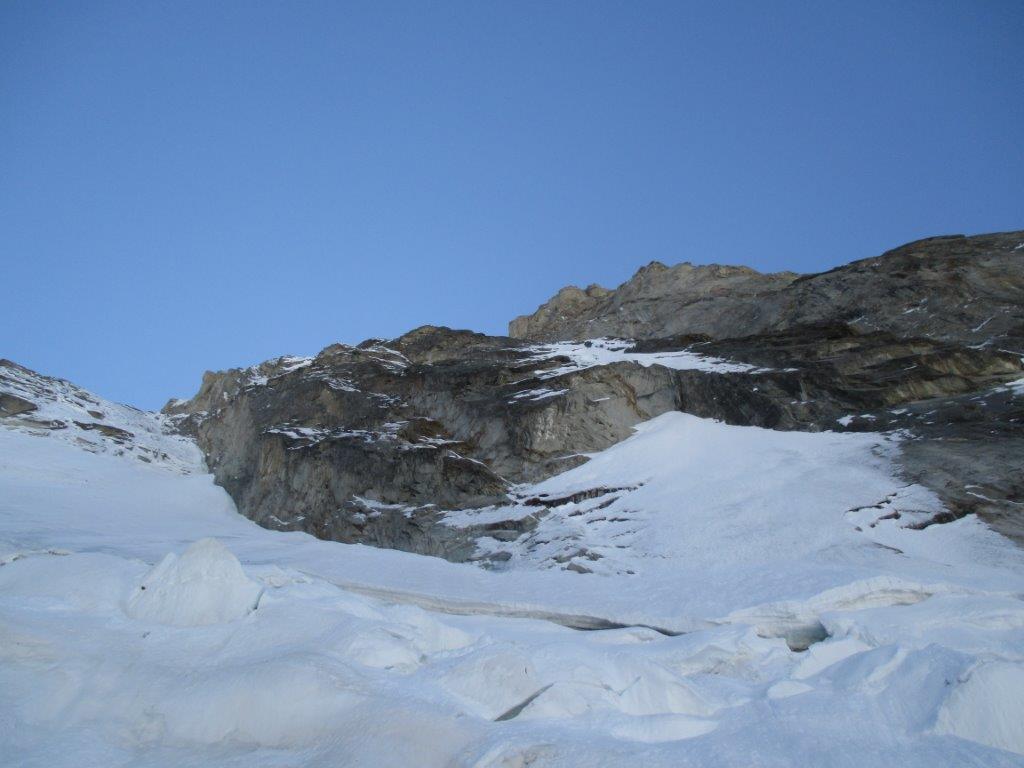
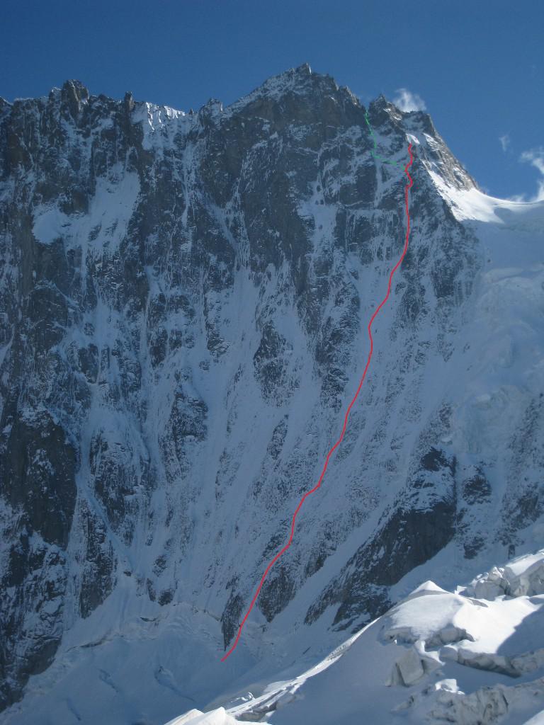
Grandiosa via di Ghiaccio e Misto che segue un evidente solco della parete che va da destra a sinistra e finisce negli ultimi tiri sulla via Cassin (sperone Walker) 1200metri di dislivello dall'attacco ed un paio di diti chiave a metà e poco prima dell'uscita.
La via presenta notevoli difficolta su ghiaccio fino a VI e su misto fino a M6, i vari pendii spesso di neve ne rendono difficile la ritirata.
Avvicinamento
La via presenta notevoli difficolta su ghiaccio fino a VI e su misto fino a M6, i vari pendii spesso di neve ne rendono difficile la ritirata.
dalla stazione superiore del trenino di Montenvers si scende sul ghiacciaio e si prosegue per il rifugio Leschaux (3 ore circa) il rifugui si raggiunge con breve ferrata (q2431m)da qui all'attacco della via sono circa 3 ore di avvicinamento e 700m di dislivello
Descrizione
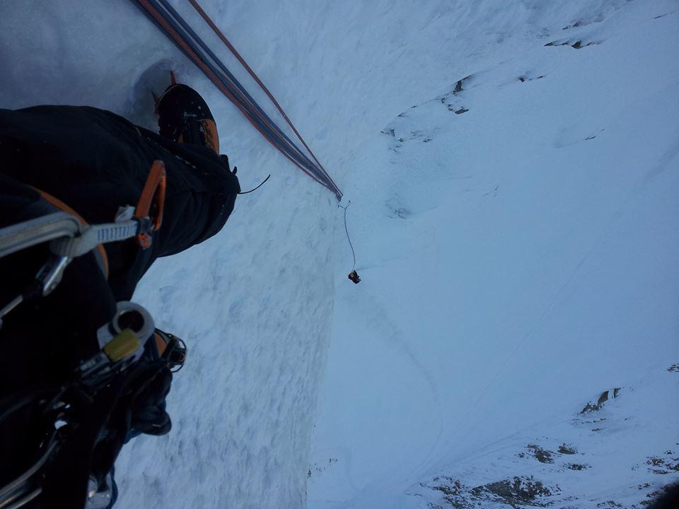
Si attacca la via a 3000metri e si supera la terminale spesso strapiombante con arrampicata atletica su ghiaccio, poi un pendio di circa 400 metri a 55°/60° e quindi un paio di tiri di goulotte 70°/75° un altro pendio porta poi al tiro chiave di 60 metri (85°/90°) difficilmente chiodabile e spesso secco (è possibile qui fare la variante Alexis presente sulla destra) sopra si continua con un nuovo pendio (200m a 55°/60°) quindi si prende una goulotte a sinistra (spesso di misto) a 75°/80° si continua per un paio di lunghezze per poi lasciarla andando decisamente a sinistra per portarsi sullo sperone Walker (ultimi tiri della Cassin) e di qui rapidamente in vetta
salita la prima volta il 5-6 agosto 1976 da Nick Colton e Alesx Macintyre
Nelle vicinanze Mappa
Itinerari
13/09/2014 AO, Courmayeur D+ 650 m TD Nord
Grandes Jorasses – Petite MacIntyre
 500m
500m
21/08/2023 AO, Courmayeur D+ 1200 m ED- Nord-Ovest
Grandes Jorasses, sperone Walker – Via Cassin
 600m
600m
04/10/2014 Haute-Savoie, Chamonix-Mont-Blanc D+ 850 m TD+ Nord
Grandes Jorasses, Punta Young – Reve Ephemere d’Alpiniste
 750m
750m
04/04/2026 AO, Courmayeur D+ 1000 m ED- Nord
Grandes Jorasses – Sperone Croz, Via degli Sloveni
 850m
850m
08/08/2025 AO, Courmayeur D+ 750 m ED Est
Grandes Jorasses, parete Est – Via Gervasutti-Gagliardone
 1.3Km
1.3Km
12/07/2025 AO, Courmayeur D+ 2558 m TD- Est
Grandes Jorasses – Cresta Hirondelles
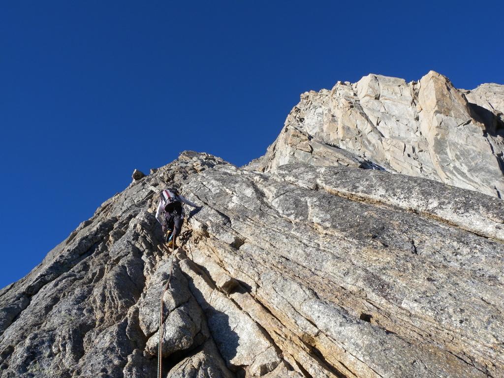 1.4Km
1.4Km
28/07/2024 AO, Courmayeur D+ 1800 m D Varie
Grandes Jorasses – Cresta Ovest
 1.5Km
1.5Km
05/02/2007 AO, Courmayeur D+ 650 m ED Nord-Ovest
Petites Jorasses – Omega
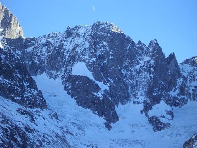 1.5Km
1.5Km
15/10/2017 AO, Courmayeur D+ 500 m TD+ Nord-Ovest
Frèbouze Centrale (Punta) Goulotte NO
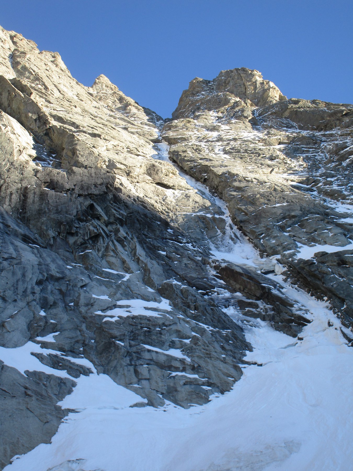 1.6Km
1.6Km
20/11/2005 AO, Courmayeur ED Sud-Est
Grandes Jorasses – Ipercouloir
2.4Km