 850m
850m
Note
 50m
50m
50m
50m
450m
2.2Km
2.2Km
2.2Km
2.2Km
50m
50m
50m
50m
450m
2.2Km
2.2Km
2.2Km
2.2Km
850m
850m
2.6Km
3Km
3.1Km
3.1Km
3.5Km
4.3Km
5.9Km
6.5Km
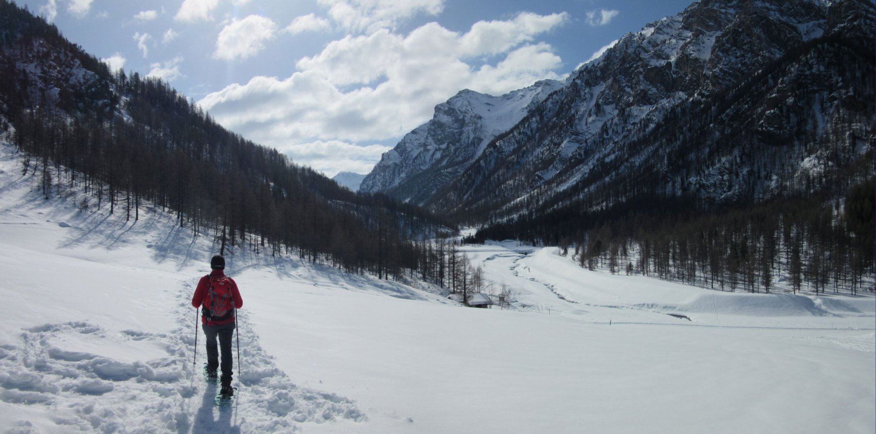
Gita da effettuarsi con impianti chiusi
Avvicinamento
Da Pragelato salire in auto fino alla borgata Villardamond (attenzione, pochi parcheggi, lasciare l'auto all'inizio della borgata)
Descrizione
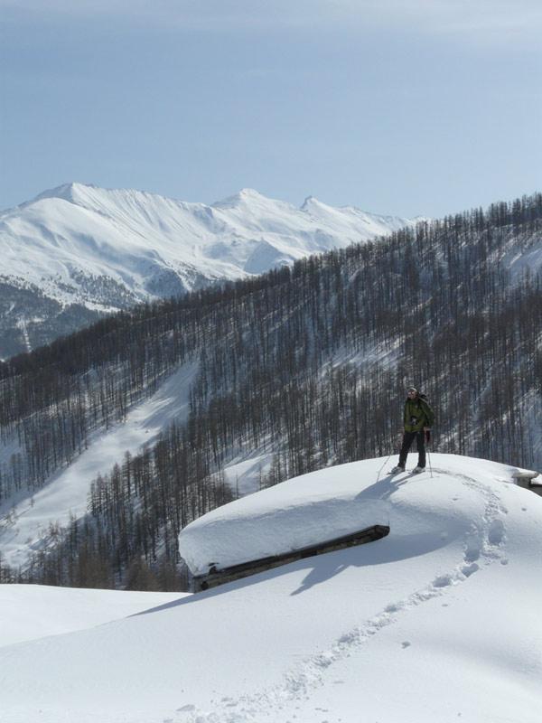
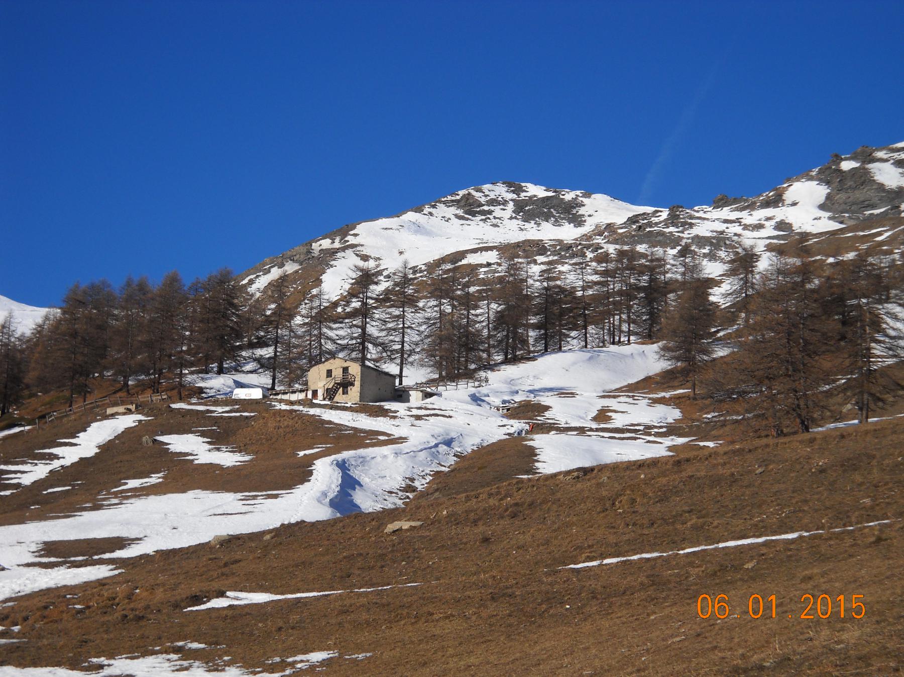
Da Villardamond si percorre la strada -sulla sin idrografica del torrente- che porta all’alpe Bruns.
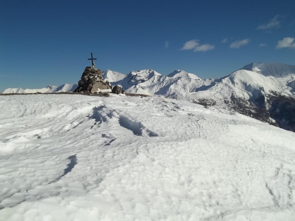
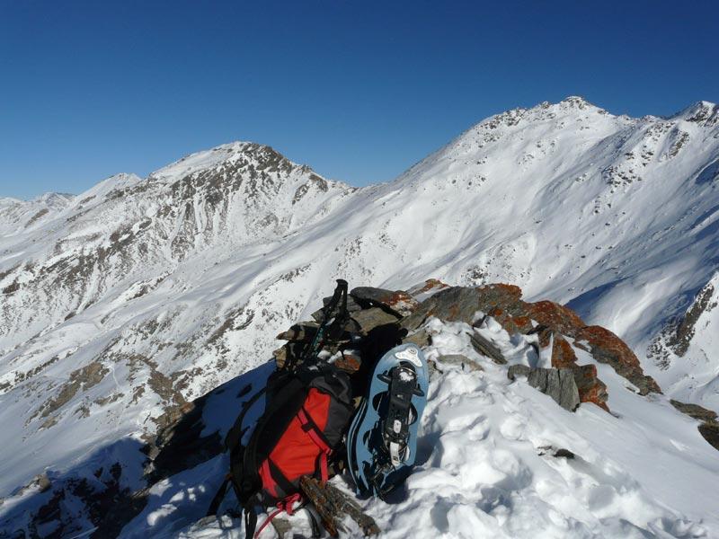
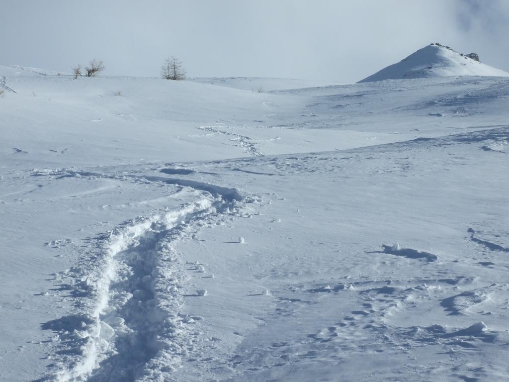
Poco sotto l’alpeggio, si abbandona la strada e ci si dirige sulla sinistra attraverso pascoli e larici radi. Arrivati nei pressi del rio si cerca un passaggio per attraversarlo e risalire i pendii sulla dx idrografica. Si prende come riferimento l’edificio di legno a sinistra del col Basset e lo si raggiunge dopo aver attraversato la strada dell’Assietta. Da qui si continua a sinistra lungo la pista di rientro e transitando sotto i paravalanghe, si raggiunge il pendio finale (delimitato da staccionate di legno) percorrendolo fino alla cima (stazione meteo della Regione Piemonte).
Nelle vicinanze Mappa
Itinerari
17/12/2017 TO, Pragelato D+ 750 m MR Sud
Nera (Rocca) e Monte Triplex da Villardamond
 50m
50m
20/03/2025 TO, Pragelato D+ 750 m MR Est
Aigle (Pitre de l’) da Villardamond
 50m
50m
01/01/2023 TO, Pragelato D+ 355 m MR Varie
Bruns (Alpe) da Villardamonf
 50m
50m
06/01/2015 TO, Pragelato D+ 637 m MR Sud-Est
Basset (Col) da Villardamond
 50m
50m
22/02/2025 TO, Pragelato D+ 913 m BR Nord-Est
Aigle (Pitre de l’) da Traverses per la costa Zalet
 450m
450m
27/12/2022 TO, Pragelato D+ 700 m MRA, F+ Sud-Est
Aigle (Pitre de l’) da Chezal per il canalino Sud
1.8Km
03/01/2012 TO, Pragelato D+ 1400 m OR Nord-Ovest
Pelato (Monte) da Pattemouche per la cresta NO
 2.2Km
2.2Km
25/04/2024 TO, Pragelato D+ 1165 m MR Ovest
Morefreddo (Monte) da Pattemouche
 2.2Km
2.2Km
16/02/2025 TO, Pragelato D+ 600 m MR Nord
Mey (Alpe) da Pattemouche per il Rifugio Troncea
 2.2Km
2.2Km
23/12/2024 TO, Pragelato D+ 400 m MR Nord-Ovest
Troncea (Rifugio) da Pattemouche, sentiero delle ciaspole
 2.2Km
2.2Km
Servizi
850m
850m
Al Mulino Ristorante
Pragelato
2.6Km
Mulino di Laval Rifugio
Pragelato
3Km
Casa degli Escartons Alex Berton B&B
Pragelato
3.1Km
Casa Alpina Rifugio
Pragelato
3.1Km
Passet Ristorante
Pragelato
3.5Km
Refugium – ex. Rif. Belotte Rifugio
Pragelato
4.3Km
L’itialette Ristorante
Pragelato
5.9Km
1898 Ristorante
Soucheres-basses
6.5Km


