5.2Km
5.2Km
Note
Descrizione
 5.4Km
6Km
6.7Km
9.6Km
9.8Km
9.8Km
9.8Km
10.5Km
10.5Km
5.4Km
6Km
6.7Km
9.6Km
9.8Km
9.8Km
9.8Km
10.5Km
10.5Km
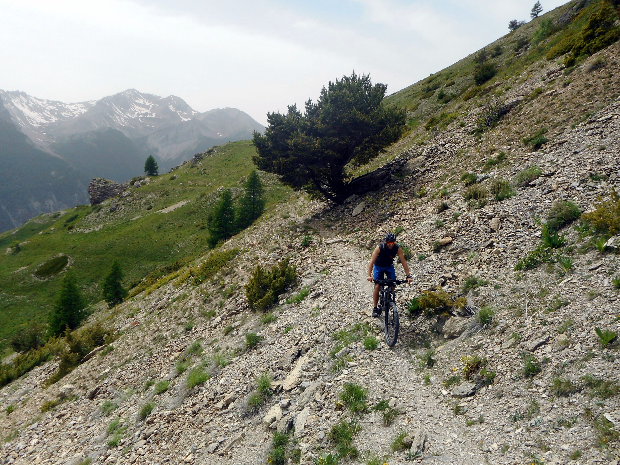
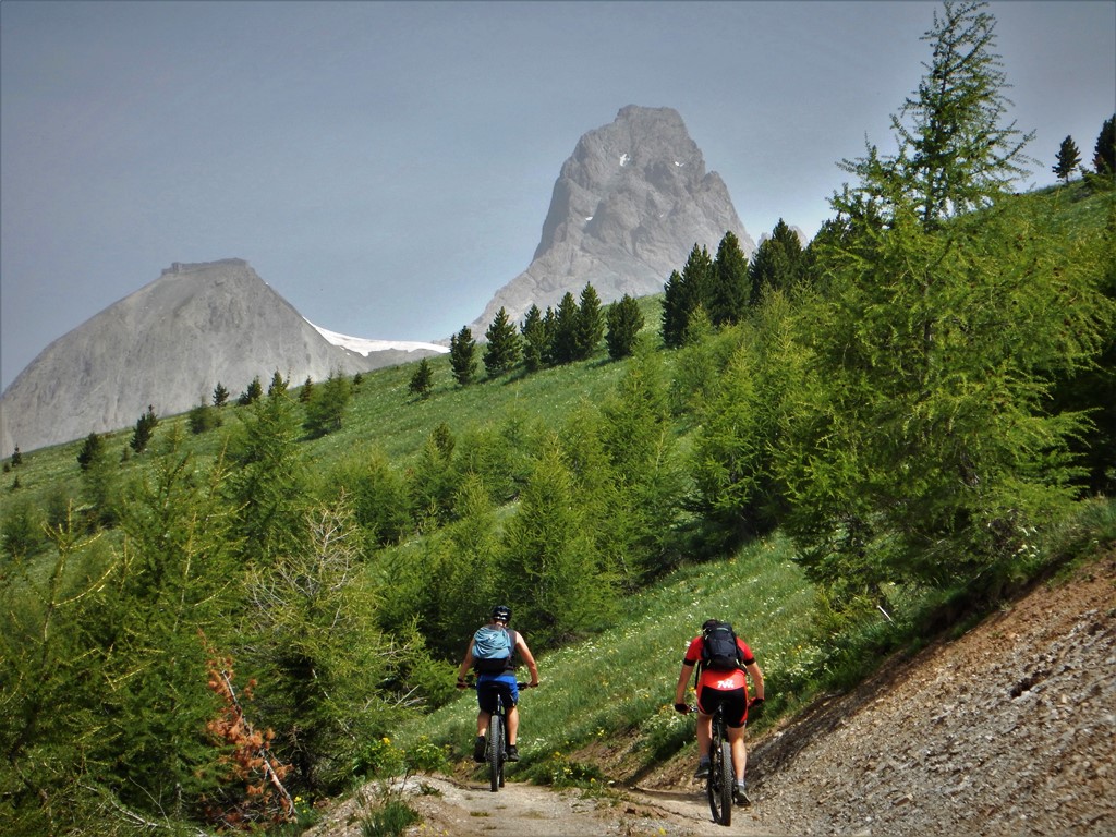
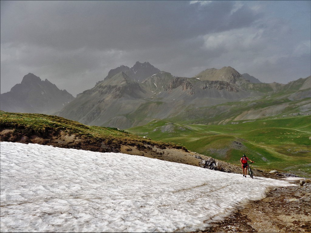
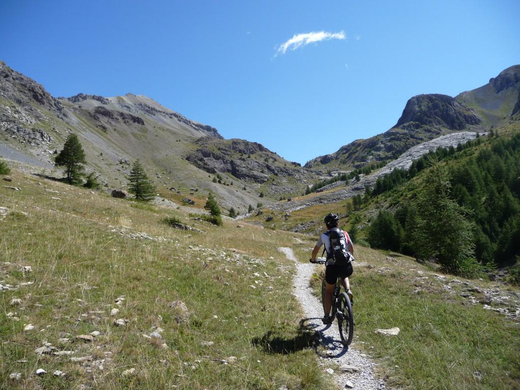
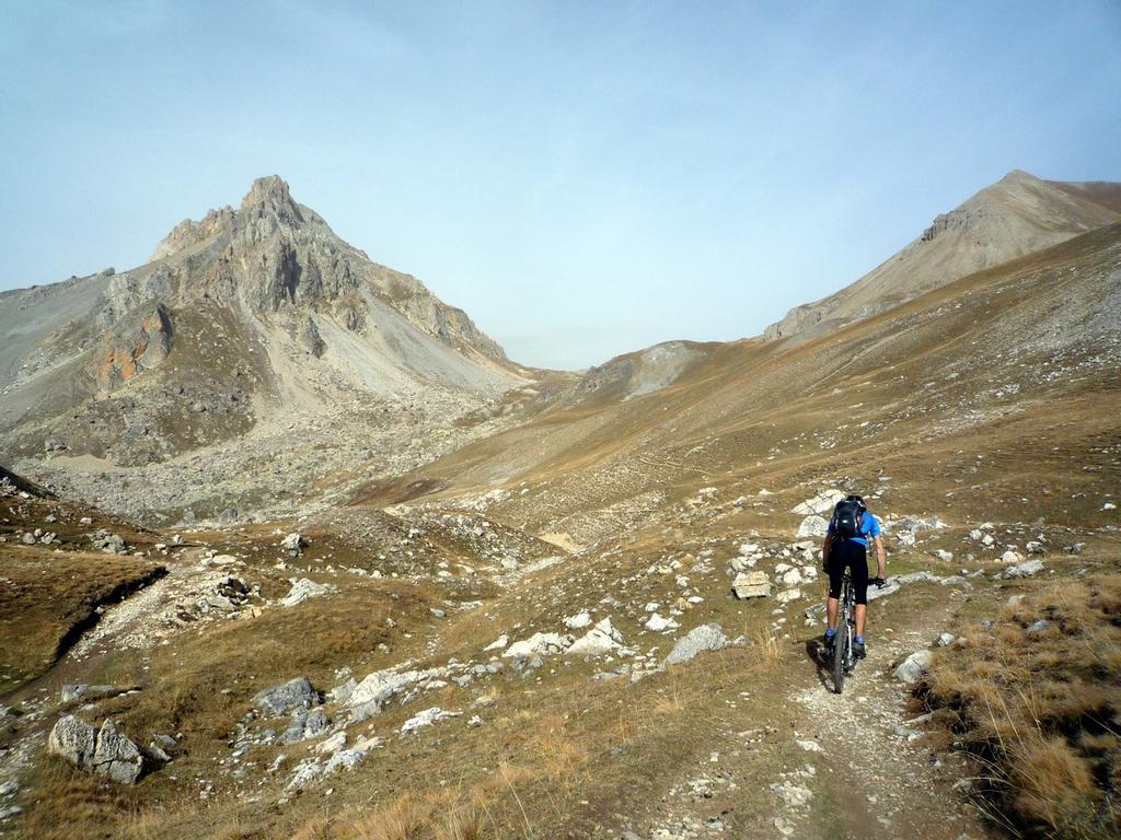
Giro molto bello e panoramico, con sentieri spesso ciclabili in salita ma che costringe a qualche tratto anche lunghetto a spinta.
Le discese, eccetto i 300m di disl sopra il col de Larche, sono facili e scorrevoli.
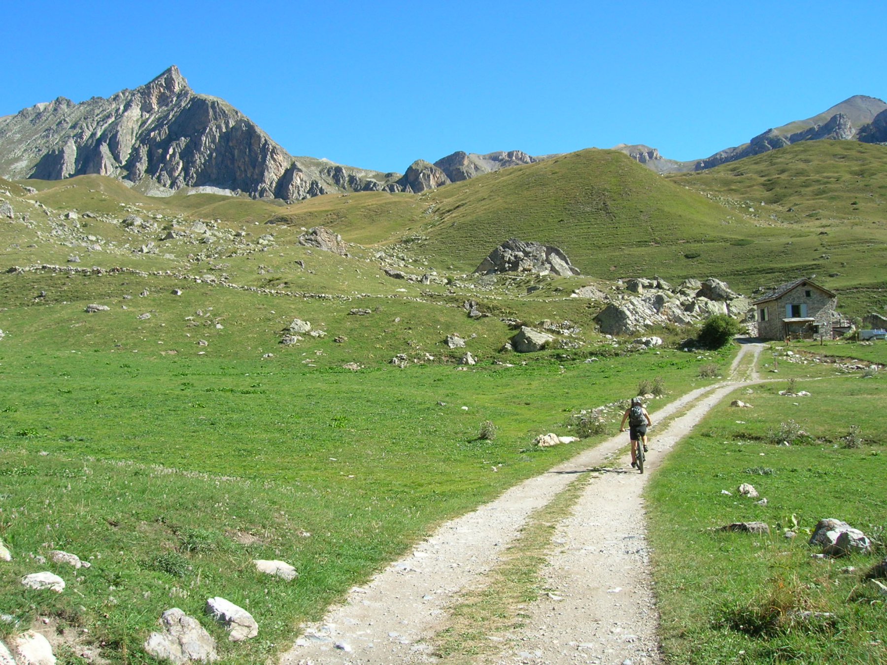
Avvicinamento
Le discese, eccetto i 300m di disl sopra il col de Larche, sono facili e scorrevoli.
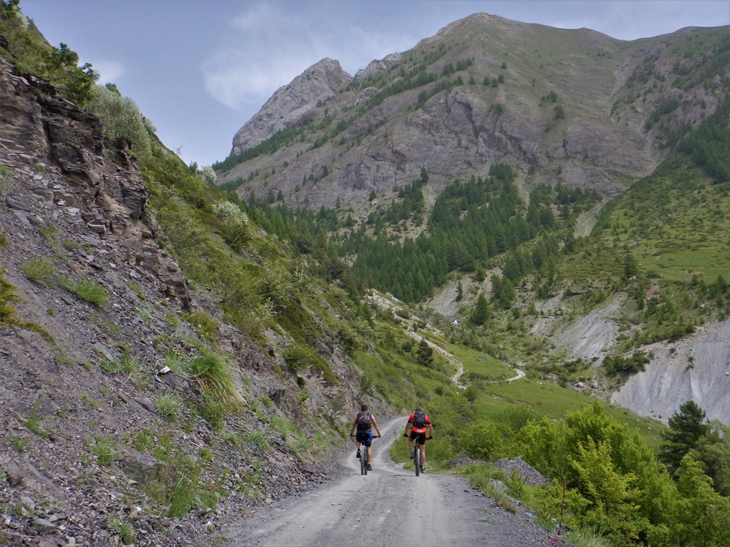
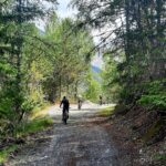
Il percorso parte da larche, scendendo verso Certamussant per risalire poco dopo su carrozzabile asfaltata verso S.Ours. Dal paesino si imbocca la sterrata a destra per il fort de Mallemort passando sotto la Tete de Viraysse. Dove termina la sterrata, poco oltre il forte, seguire il sentiero in leggera salita che termina ad un trivio, incrociando il gr 56-5 che scende dal col del Mallemort. Da qui si può o imboccare questo in discesa per breve tratto, svoltando poi a sinistra per il sentiero che conduce nel vallon de Rochouse, oppure seguire la traccia molto labile tra i prati che in falsopiano prima ed in leggera discesa porta ad incrociare il medesimo sentiero ma più a monte.
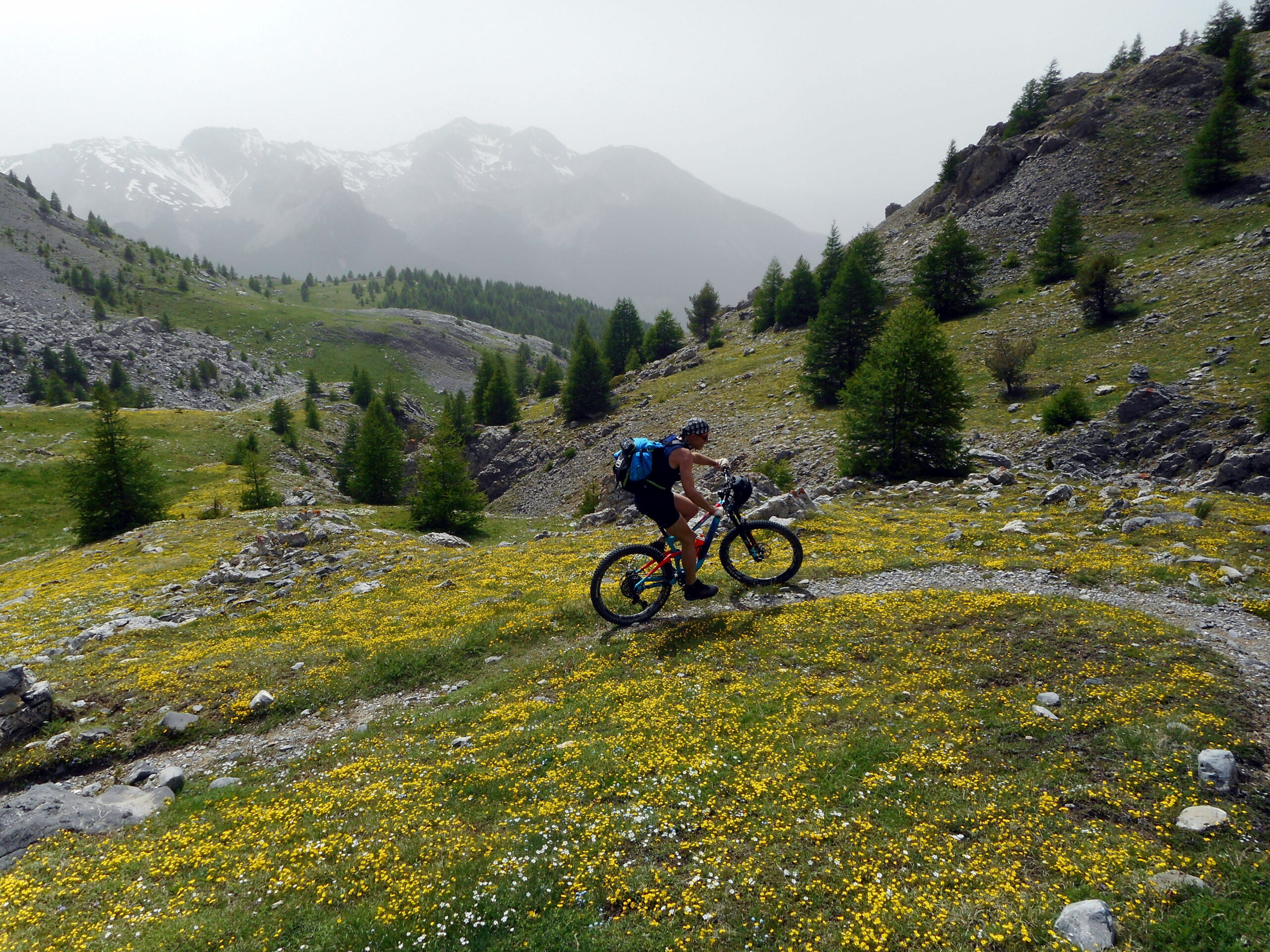
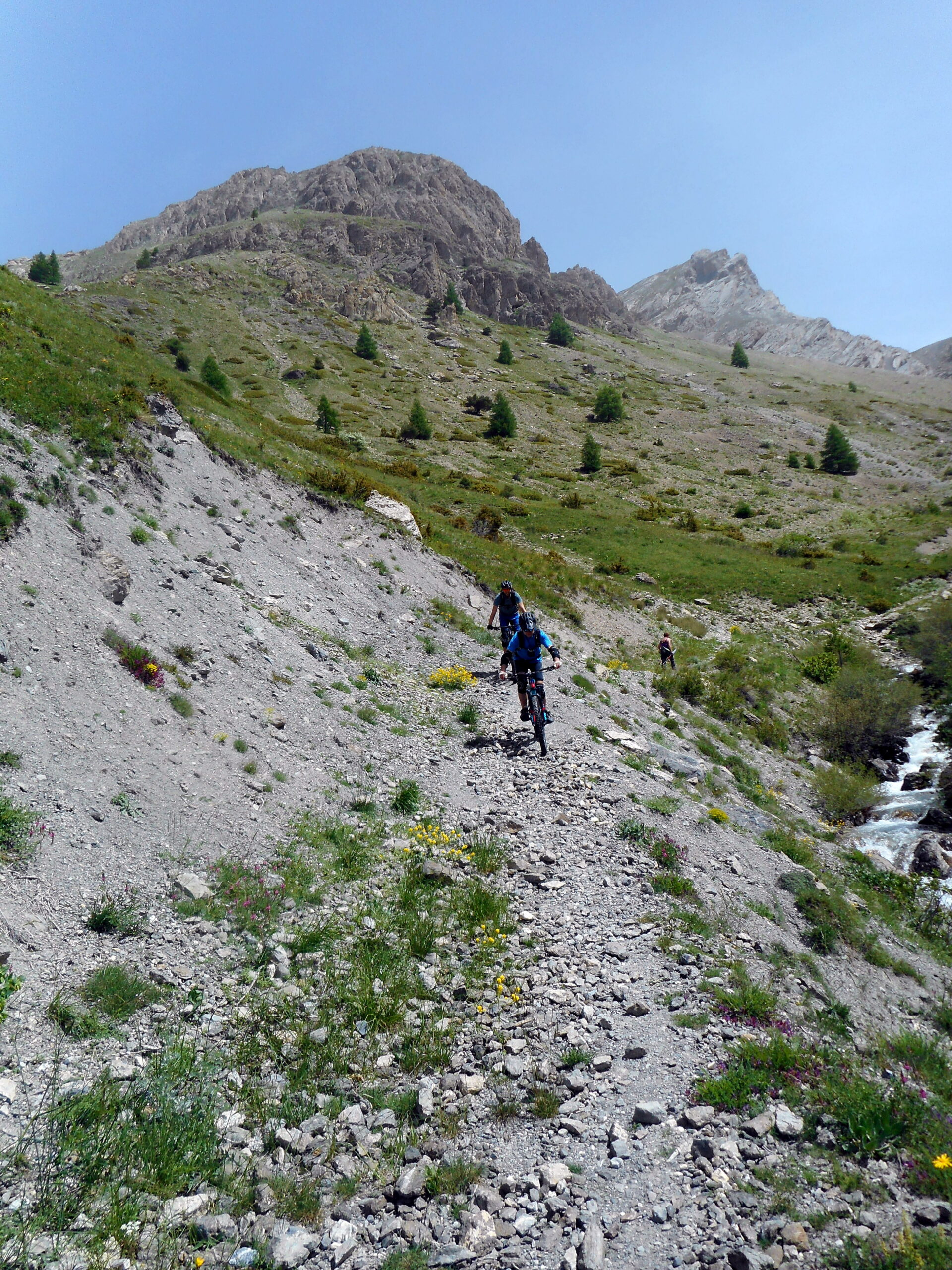
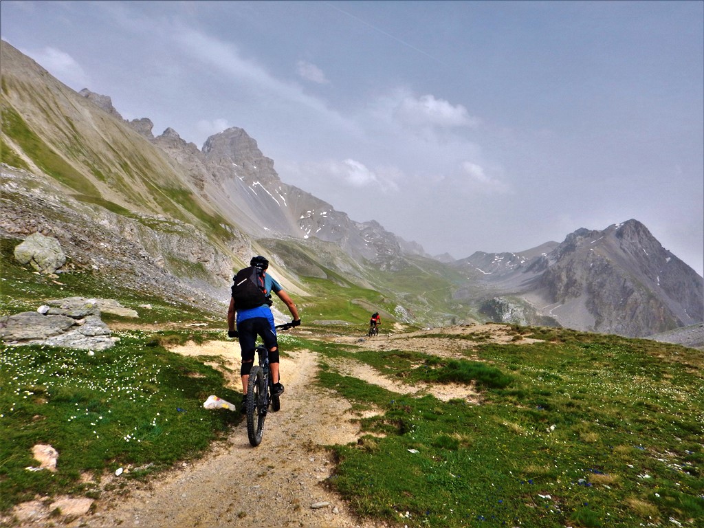
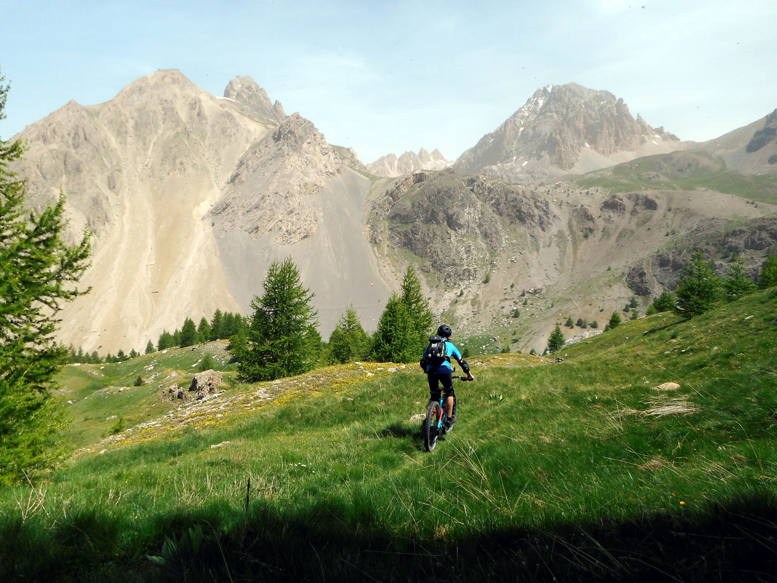
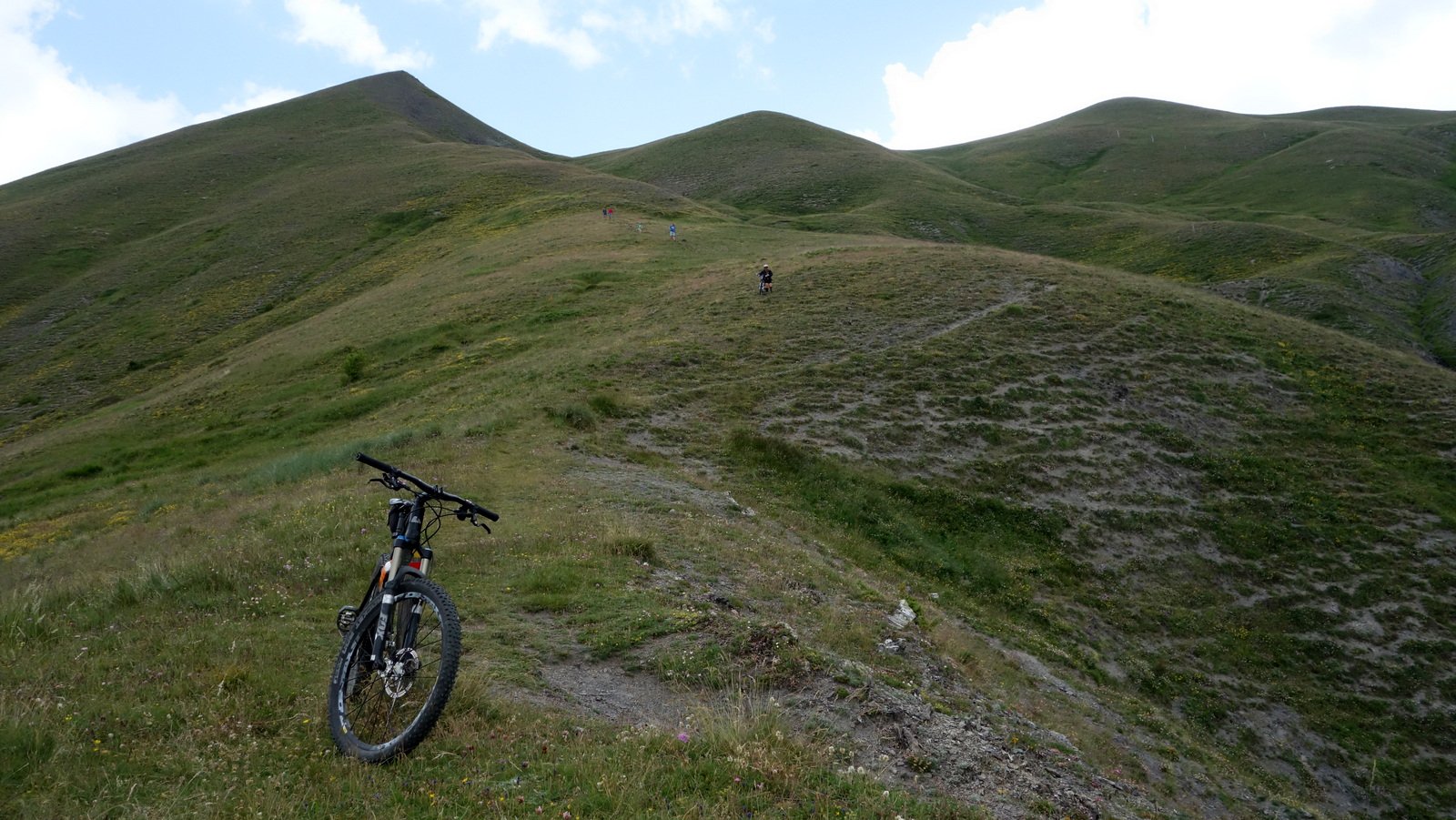
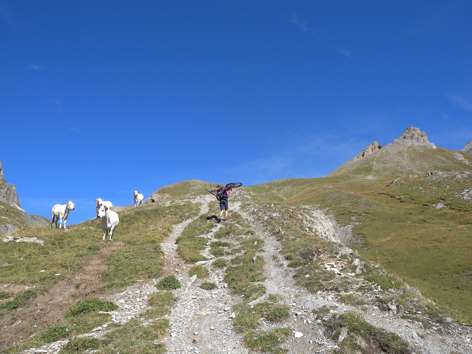
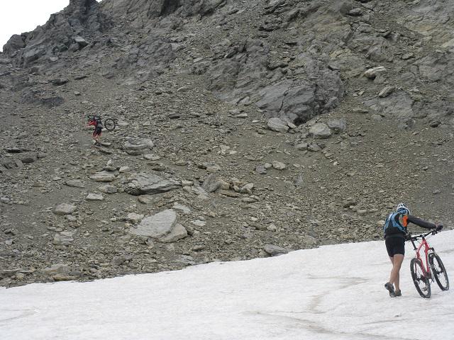
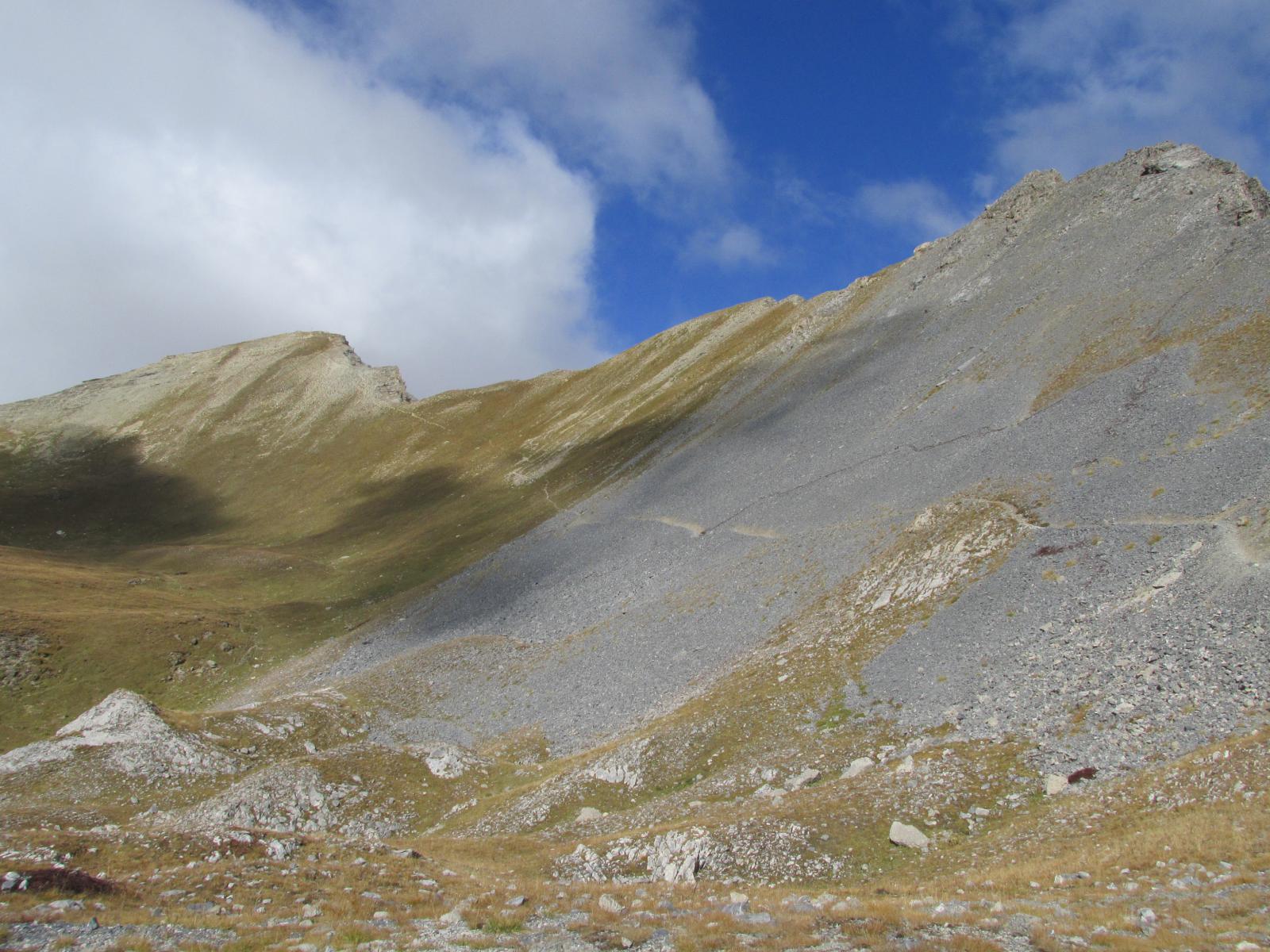
Da qui, nel bellissimo vallon de Rochouse, si sale su sentiero non sempre ciclabile e, con ul lungo tratto a spinta, si giunge, transitando sotto la Tete Dure alla propria destra, ad un pianoro (plateau de la montagnette). Da qui il sentiero si fa iù ciclabile ed all’unico bivio si imbocca il ramo di sinistra con indicazione cole des Monges – colle delle Munie; si risalgono i pendii erbosi quasi sempre pedalabili e solo nell’ultimo tratto sotto al colle il sentiero si fa meno ciclabile e costrigere a spingere: la vista dalle Munie è spettacolare!
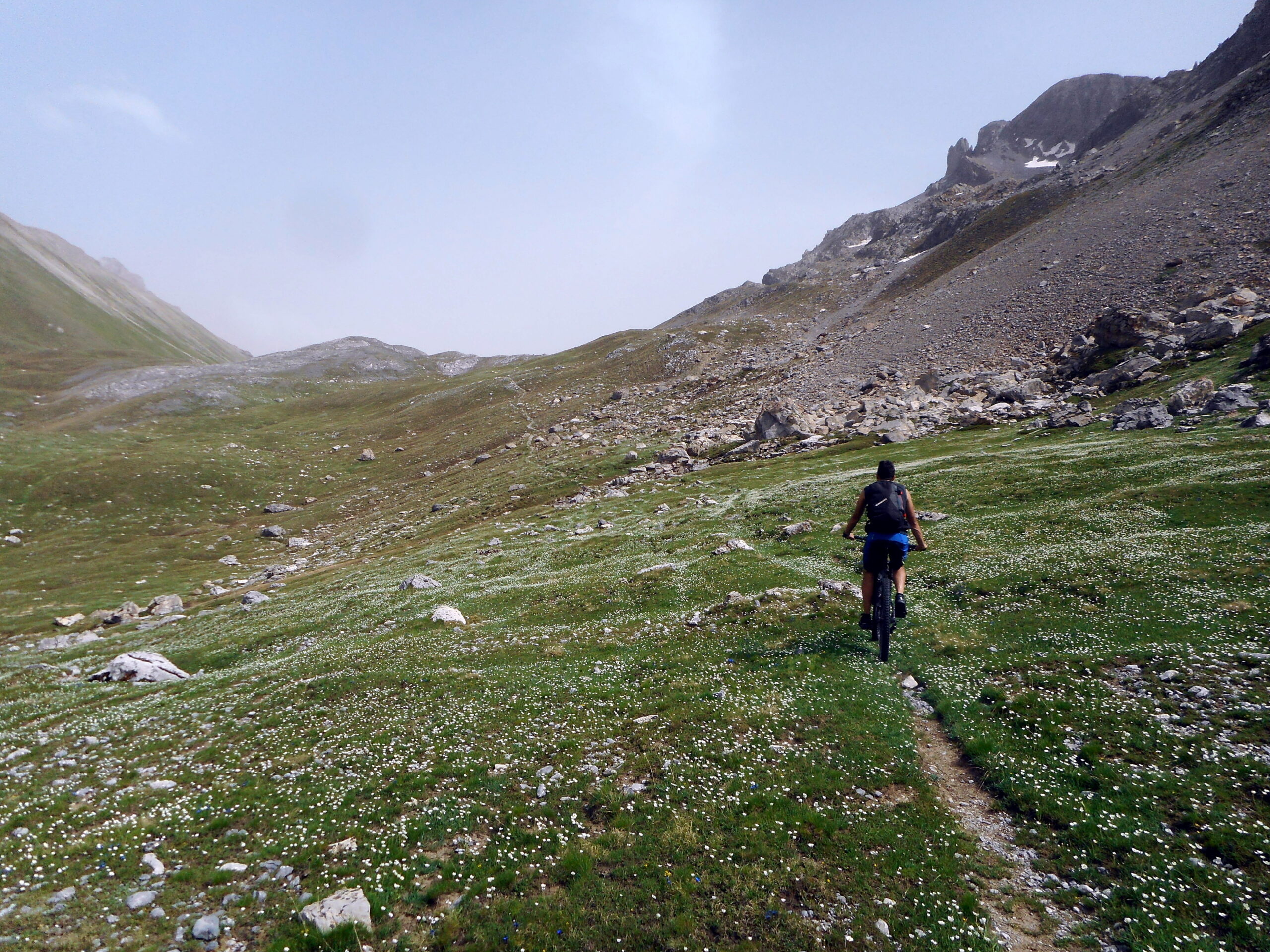
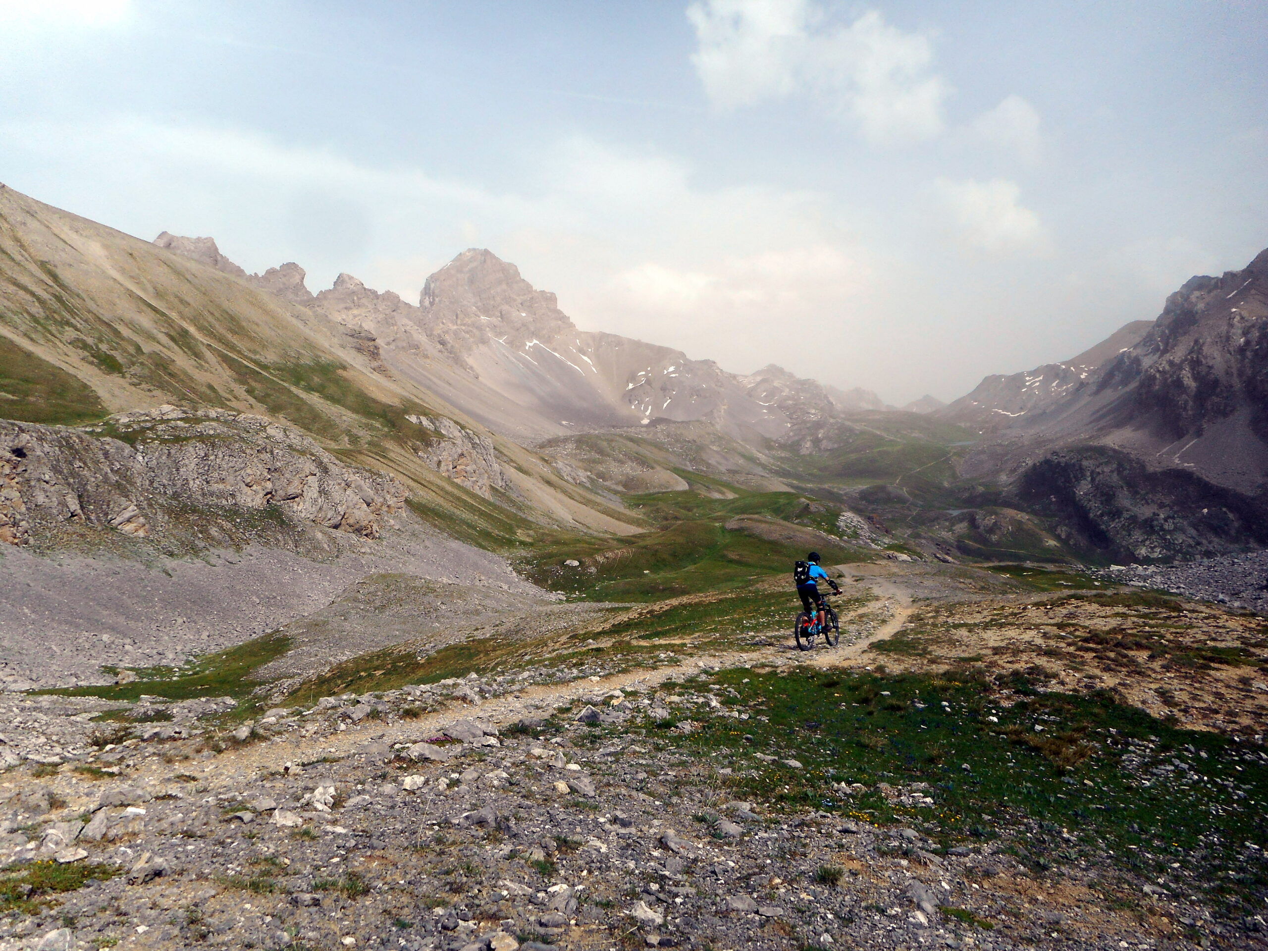
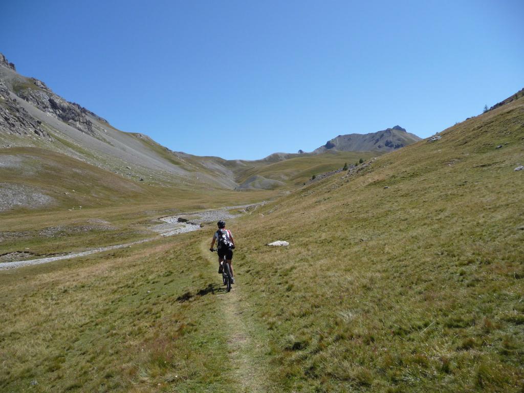
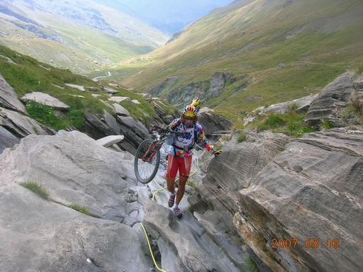
Dal colle si segue la traccia che divalla dolcemente fino al col de la Gypierre d’Oronaye, da cui si svolta a sinistra puntando il colle di Roburent che si vede in fondo al vallone. Giunti ad un bivio non si risale verso Roburent, ma si svolta su sentiero che ora si fa tecnico a destra e, con divertenti passaggi (tratti S3-4) si giunge alla strada del col de Larche. Attraversata si imbocca il tratturo che va verso il vallon de Lauzanier (attenzione ai numerosi pedoni e merenderos), per poi imboccare a destra la stradina ormai purtroppo asfaltata che riporta, su snistra orografica, a Larche.
In alternativa, dal col de la Gypierre si può tornare in discesa verso il vallon de Rochouse, ridiscendere lo stesso fino al bivio con il gr 56-5, ed imboccare questo fino all’abitato di Larche. Si evita bitume a scendere, ma si perde il gusto di un anello più ampio.
VARIANTE TRANSUBAYENNE
Variante con partenza consigliata dal colle della Maddalena o dal park posto poco sotto sul lato francese località Le Pontet.
Permette di evitare il tratto asfaltato che scende dal colle della Maddalena a Larche ed aggiunge dislivello e una bella discesa lungo il percorso della Transubayenne.
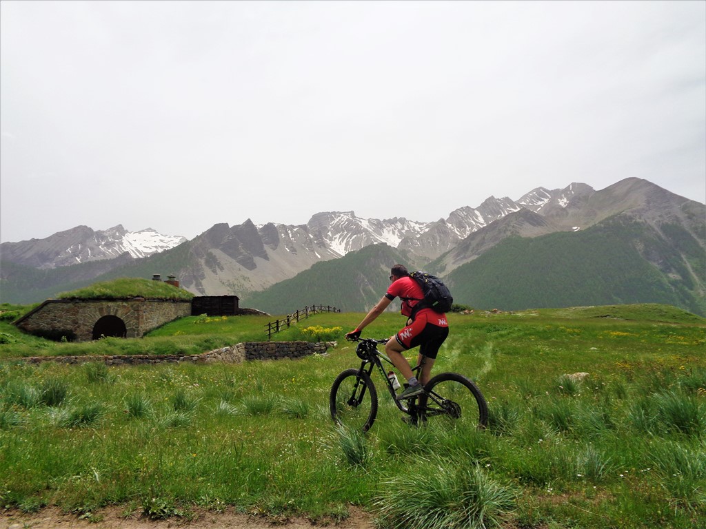
Dal parcheggio di Le Pontet (imbocco vallone dell’Oronaye) innalzarsi lungo l’evidente pista sterrata che con percorso panoramico e perfettamente ciclabile passa alle pendici della Tete Dure (volendo raggiungibile facilmente su sentiero). All’unico bivio tralasciare il recente tronco di dx in salita continuando a sx in falsopiano. Raggiungere la fine della sterrata dove una palina indica l’inizio di un bel sentiero che deposita – senza grosse difficoltà e dopo aver attraversato il rio- nei pressi della Cabane de l’Ausse Blanche.
Qui siamo sul percorso descritto e volendo abbreviare il giro si può continuare a destra in salita in direzione Cabane de Viraysse e col des Monges e Gypiere.
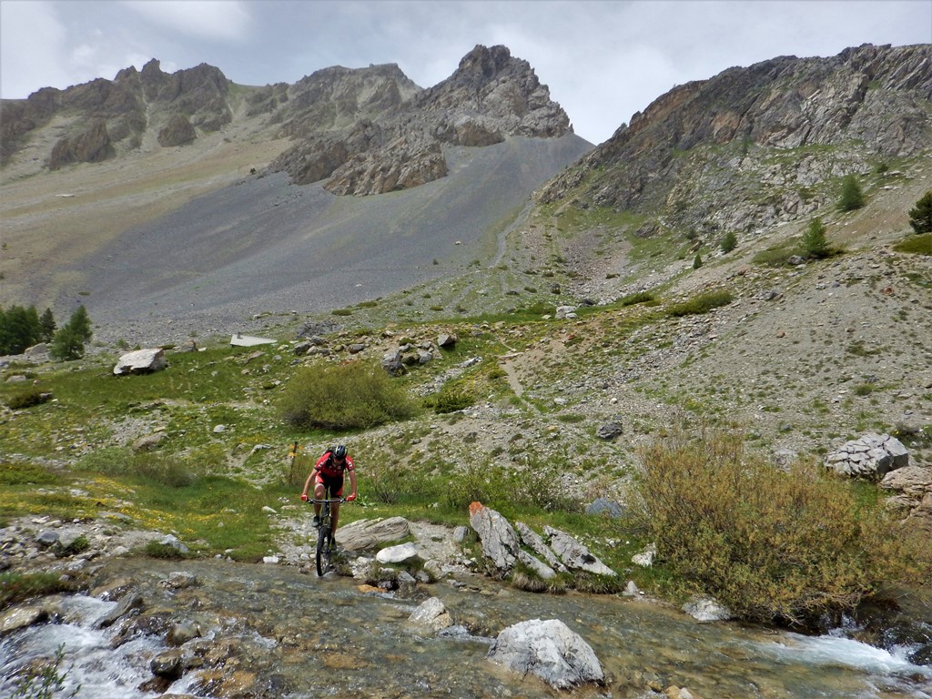
Noi invece continuiamo in discesa fino ad incrociare il GR5 che seguiamo sempre in discesa (decisamente impegnativo verso il fondo) fino a Larche.
Da qui come da itinerario originale. Questa variante completa comporta 1.550 m D+ e circa 36 km.
- Bibliografia:
- iti 38 mountain bike - icardi -marino ed. gi.mac
Nelle vicinanze Mappa
Itinerari
21/07/2016 Alpes-de-Haute-Provence, Val-d'Oronaye D+ 1400 m BC+, BC+, S2 Tutte
Vallonet (Col du) da Saint Ours, giro per Fouillouse e il Col de Mirandol
 5.4Km
5.4Km
24/08/2025 Alpes-de-Haute-Provence, Val-d'Oronaye D+ 1270 m BC+, OC, S1 Sud-Ovest
Viraysse (Tete de) da Meyronnes per il Col de Mallemort, giro con discesa su Larche
 6Km
6Km
08/10/2010 Alpes-de-Haute-Provence, Val-d'Oronaye D+ 1300 m BC, BC+, S2 Varie
Soubeyran (Monte) o Tete de l’Alp da le Pontet per il Col de la Gypière e il Colle delle Munie
 6.7Km
6.7Km
15/08/2022 Alpes-de-Haute-Provence, Saint-Paul-sur-Ubaye D+ 850 m MC, BC, S1 Nord
Roche la Croix (Fort) da les Gleizolles
 9.6Km
9.6Km
16/08/2007 CN, Acceglio D+ 1955 m OC, TC, S2 Varie
Maurin, Longet (Colli) da Chiappera, giro per Maljasset e Pontechianale
 9.8Km
9.8Km
25/08/2015 CN, Acceglio D+ 2120 m OC, BC, S2 Tutte
Maurin, Autaret, Bellino (Colli) da Chiappera, giro del Monte Maniglia
 9.8Km
9.8Km
06/08/2023 CN, Acceglio D+ 1680 m BC+, OC, S3 Varie
Maniglia (Monte) da Chiappera
 9.8Km
9.8Km
19/09/2021 CN, Acceglio D+ 1850 m BC, OC, S3 Tutte
Sautron, Portiola (Colli) da Saretto, giro per il Rifugio Stroppia
 10.5Km
07/08/2017 CN, Acceglio D+ 1280 m BC+, OC+, S3 Varie
Soubeyran (Monte) o Tete de l’Alp da Saretto, giro per i Passi della Cavalla e Munie e Lago Visaisa
 10.5Km
15/07/2024 CN, Acceglio D+ 1400 m OC, BC+, S3 Varie
Viraysse (Monte) da Saretto anello per i colli della Cavalla, Munie, Sautron
10.5Km