8.9Km
8.9Km

Avvicinamento
 50m
50m
50m
1.2Km
1.2Km
1.2Km
1.2Km
1.2Km
1.2Km
1.2Km
50m
50m
50m
1.2Km
1.2Km
1.2Km
1.2Km
1.2Km
1.2Km
1.2Km
8.9Km
.
Descrizione
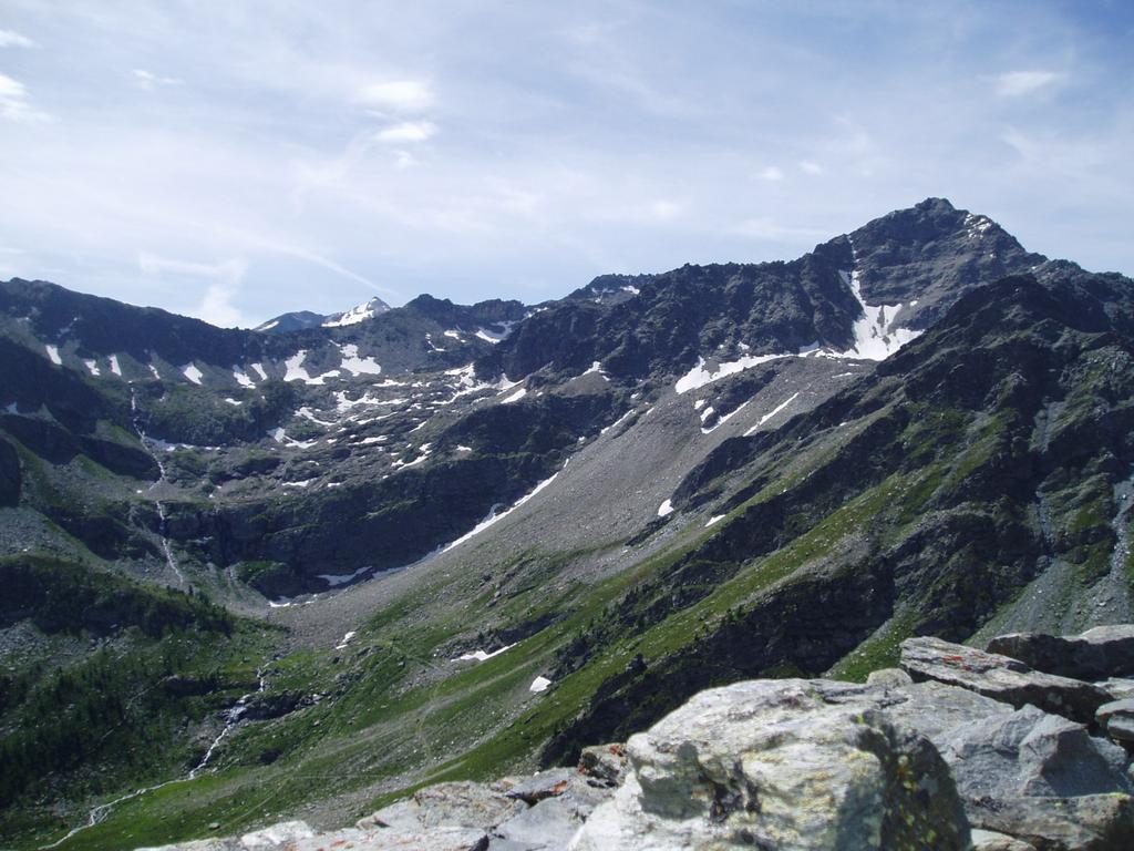
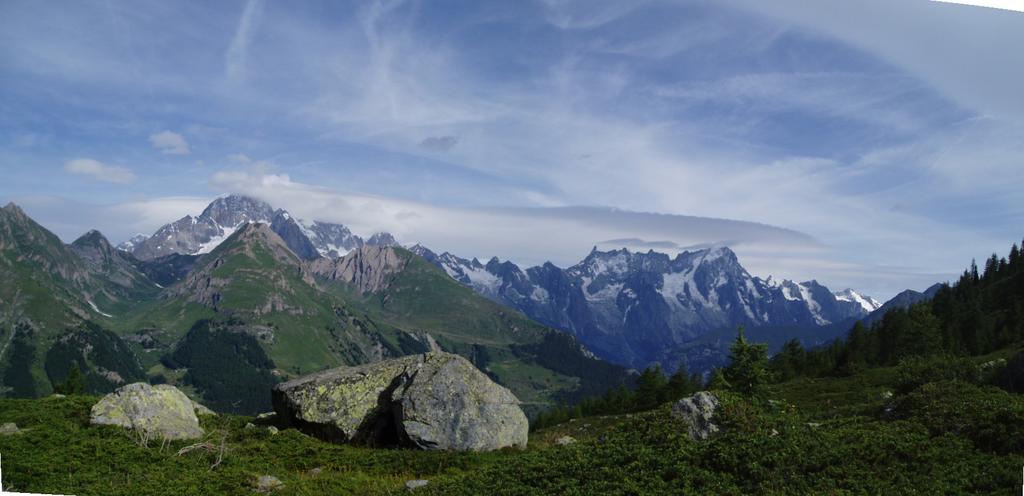
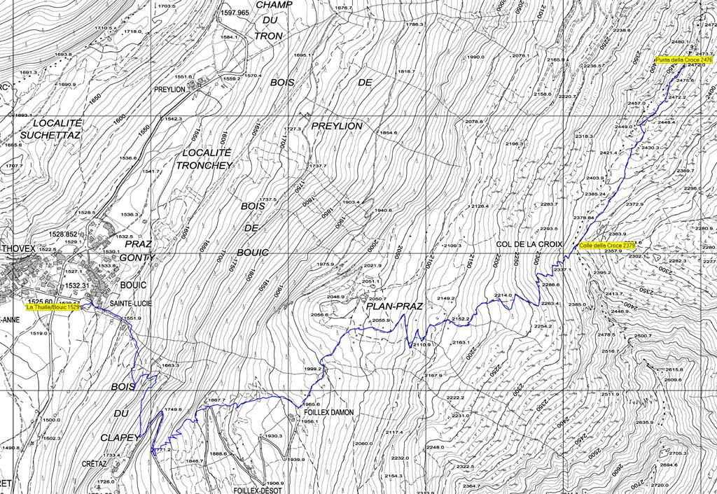
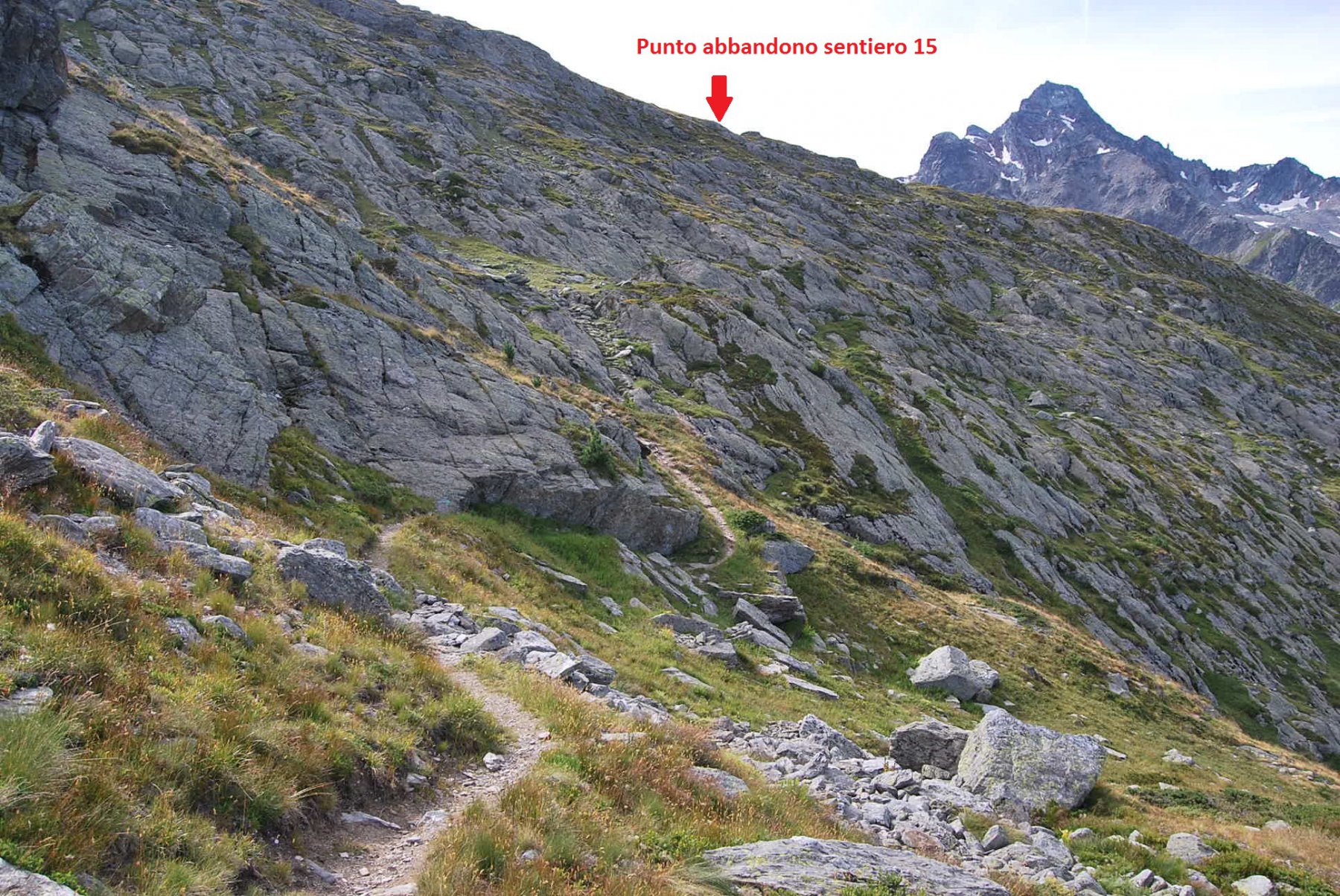
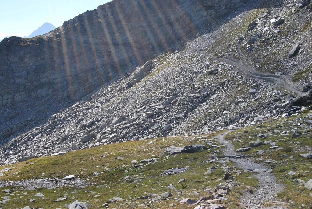
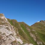
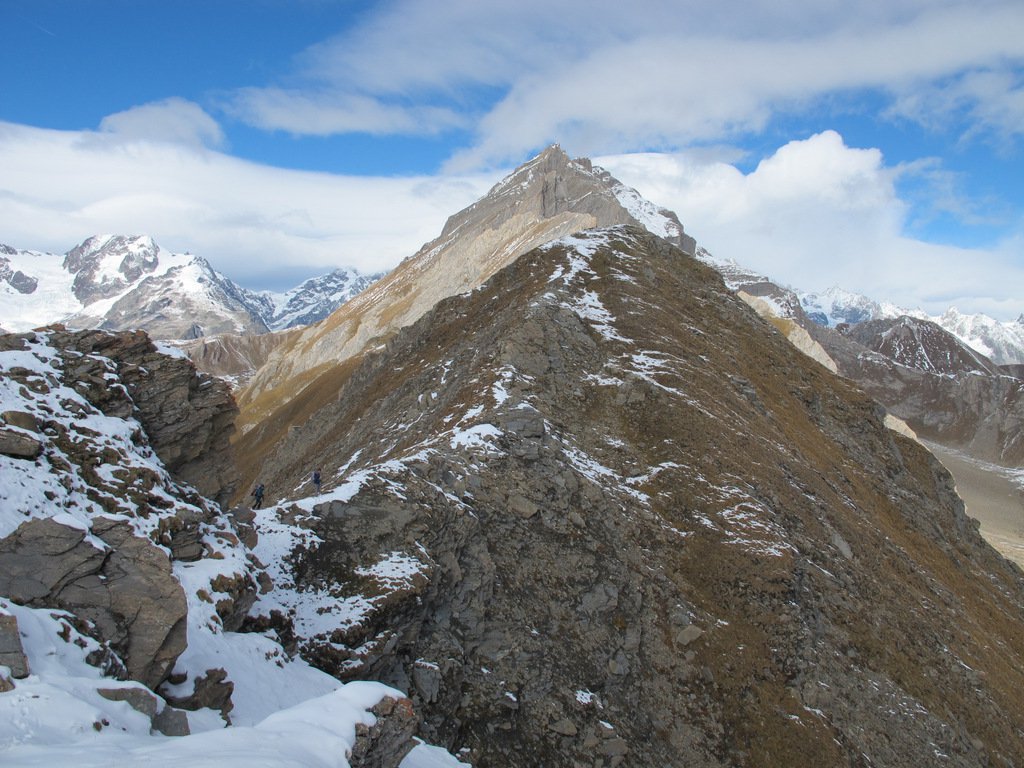
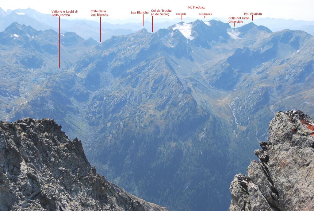
Dalla fraz. Bouic, seguire il sentiero con segnavia n° 2 fino al colle della Croce 2379, poi a sinistra fino in punta.
- Cartografia:
- Mappa CTR con itinerario tracciato, allegata
Ultima revisione 17/01/2024
Nelle vicinanze Mappa
Itinerari
09/08/2024 AO, La Thuile D+ 541 m E Varie
Plan Praz e Fort Saint Maurice da Bouic
 50m
50m
31/07/2022 AO, La Thuile D+ 1417 m EE Varie
Alto (Passo) da La Thuile, traversata a La Salle per i Laghi di Usselettes
 50m
50m
19/07/2020 AO, La Thuile D+ 1709 m EE Varie
Colmet (Mont) da La Thuile, traversata a La Salle per la cresta SO
 50m
50m
28/09/2025 AO, La Thuile D+ 1100 m E Nord-Est
Chaz Duraz (Mont) da La Thuile
 1.2Km
1.2Km
23/08/2009 AO, La Thuile D+ 1889 m EE Varie
Valaisan (Mont) e Monte Bella Valletta da La Thuile, anello per il Rifugio Deffeyes
 1.2Km
1.2Km
23/10/2021 AO, La Thuile D+ 1142 m EE Varie
Deffeyes Albert (Rifugio) e laghi del Rutor da La Thuile, anello per Plan de la Lière e Comba Sorda
 1.2Km
1.2Km
10/09/2023 AO, La Thuile D+ 1265 m EE Varie
Belleface (Mont, Punta Sud) da La Thuile
 1.2Km
1.2Km
17/10/2015 AO, La Thuile D+ 1347 m EE Varie
Combe Varin (Monte) da La Thuile
 1.2Km
1.2Km
04/08/2011 AO, La Thuile D+ 1393 m EE Varie
Freduaz Orientale (Monte) da La Thuile, traversata al Colle del Piccolo San Bernardo per il Col de la Lex Blanche
 1.2Km
1.2Km
11/10/2025 AO, La Thuile D+ 1199 m E Tutte
Belvedere (Monte) da La Thuile, anello per il Colle del Piccolo San Bernardo
 1.2Km
1.2Km
Servizi
8.9Km