2.7Km
2.7Km

Avvicinamento
 3.5Km
4.8Km
5.1Km
5.1Km
5.4Km
5.4Km
5.4Km
5.4Km
5.4Km
3.5Km
4.8Km
5.1Km
5.1Km
5.4Km
5.4Km
5.4Km
5.4Km
5.4Km
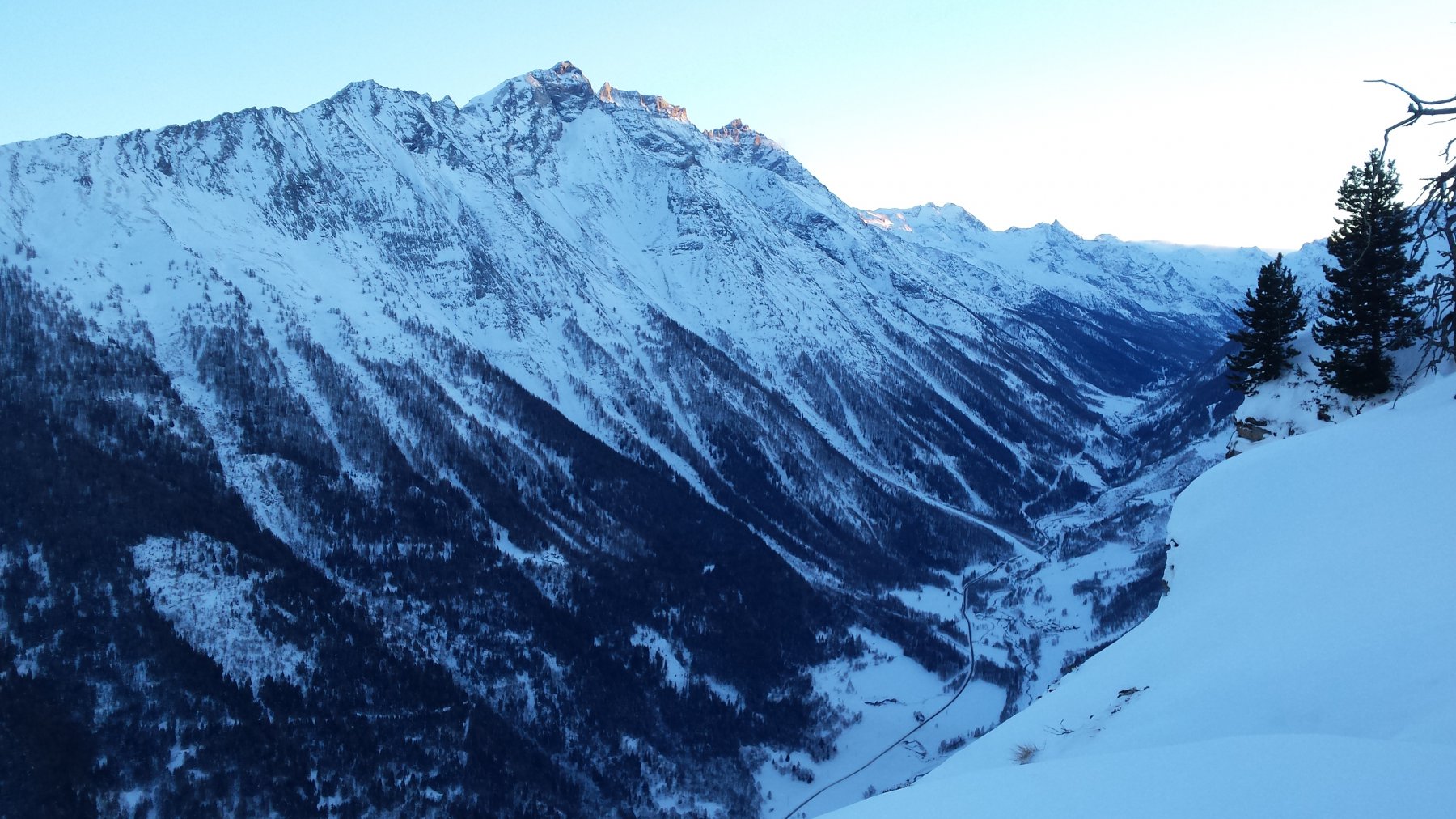
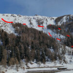
Da Aosta salire a Introd (paese all'imbocco delle valli di Rhemes e Valsavarenche). All'altezza del Parc Animalier, voltare prima a dx e subito dopo a sx per prendere la strada che porta a Les Combes (conosciuto anche come il paese dei Papi). Parking al Plan du Saint Pere (pianoro del Santo Padre).
Descrizione
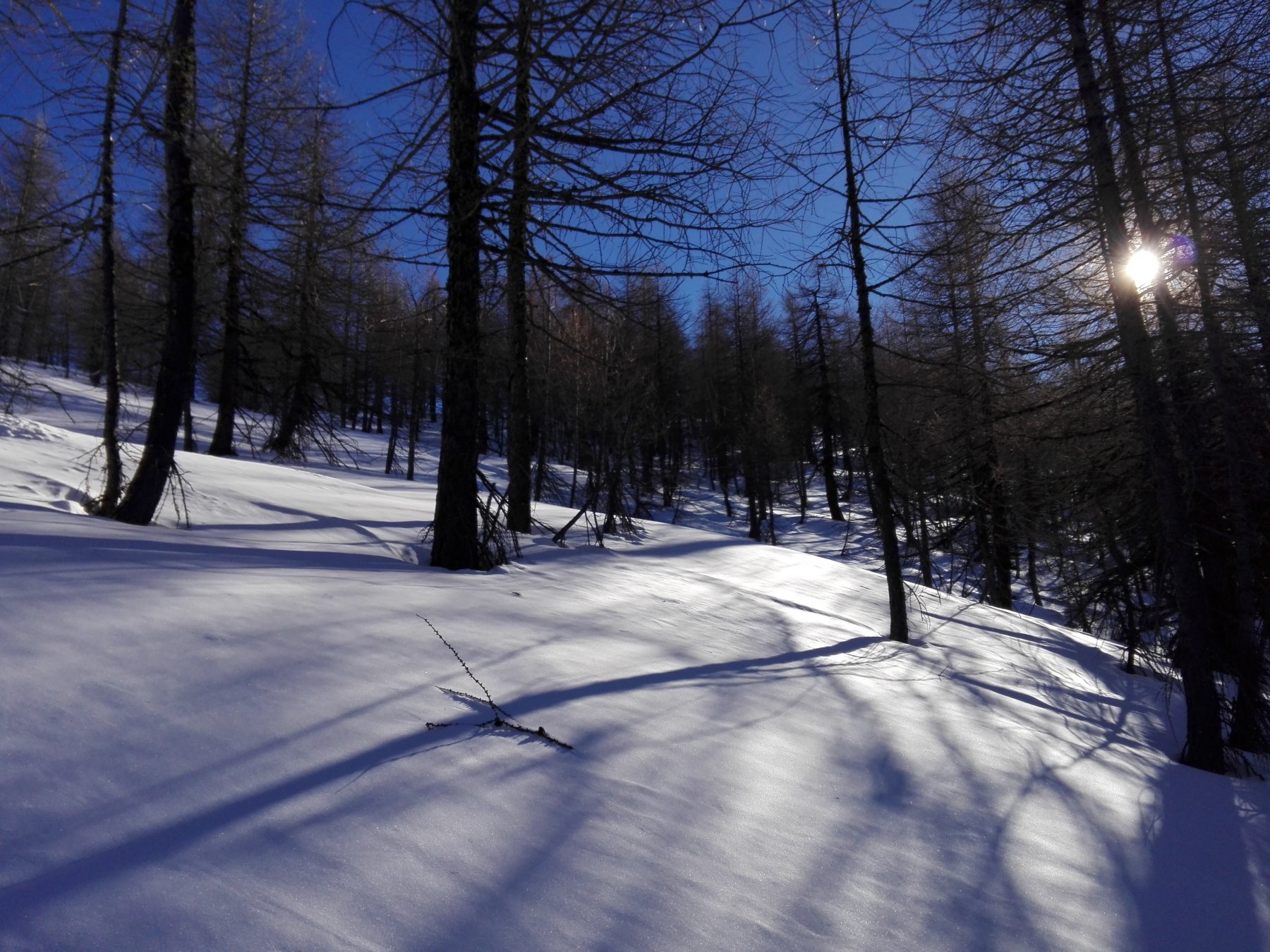
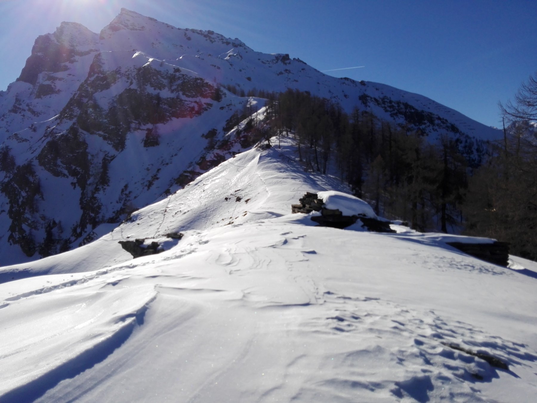
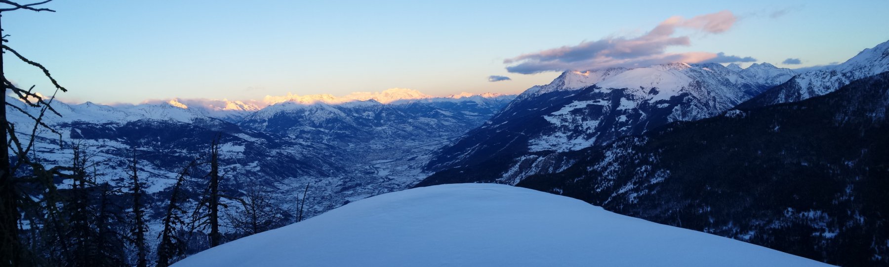
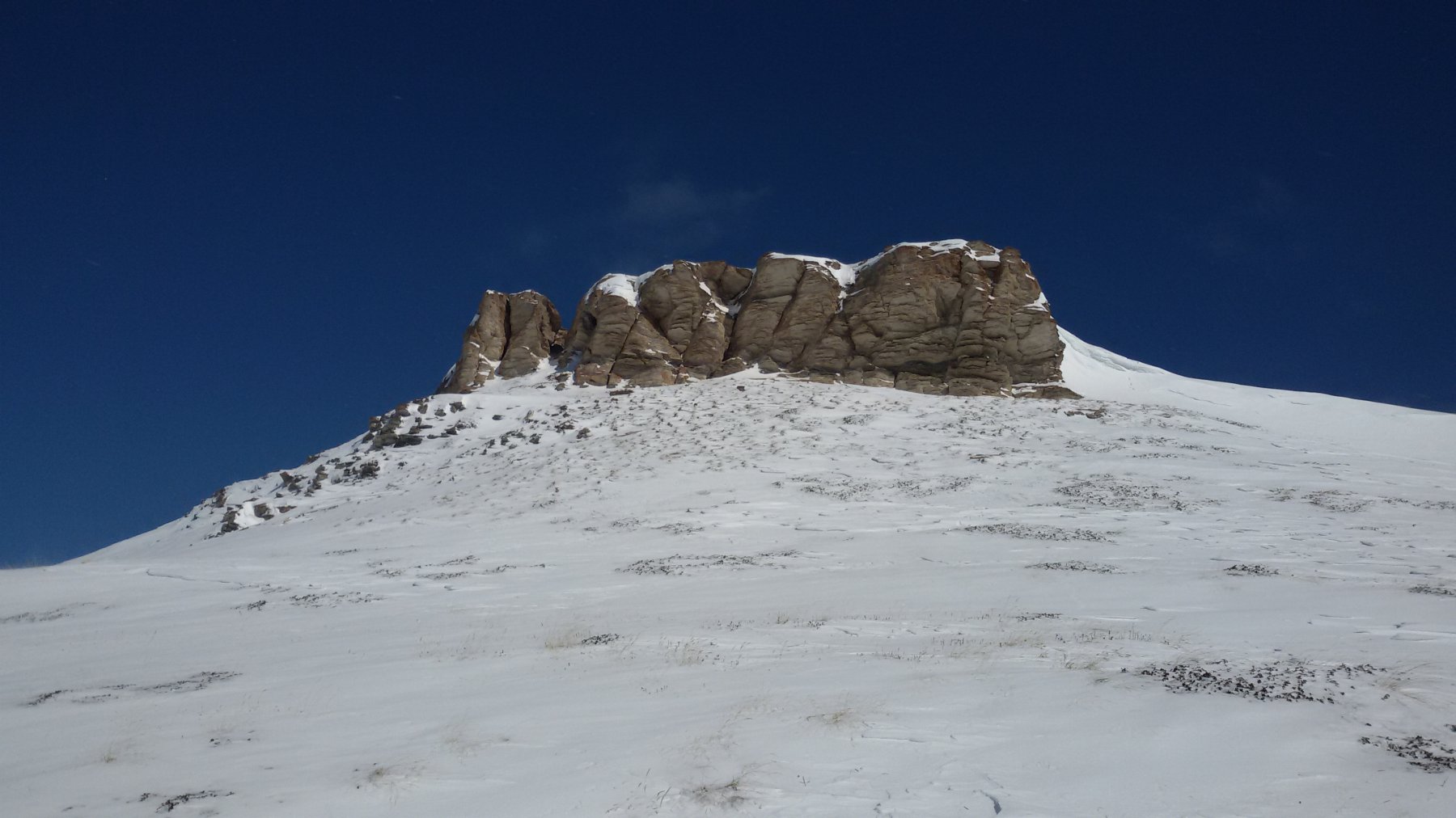
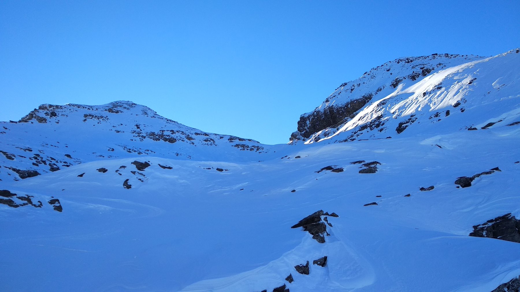
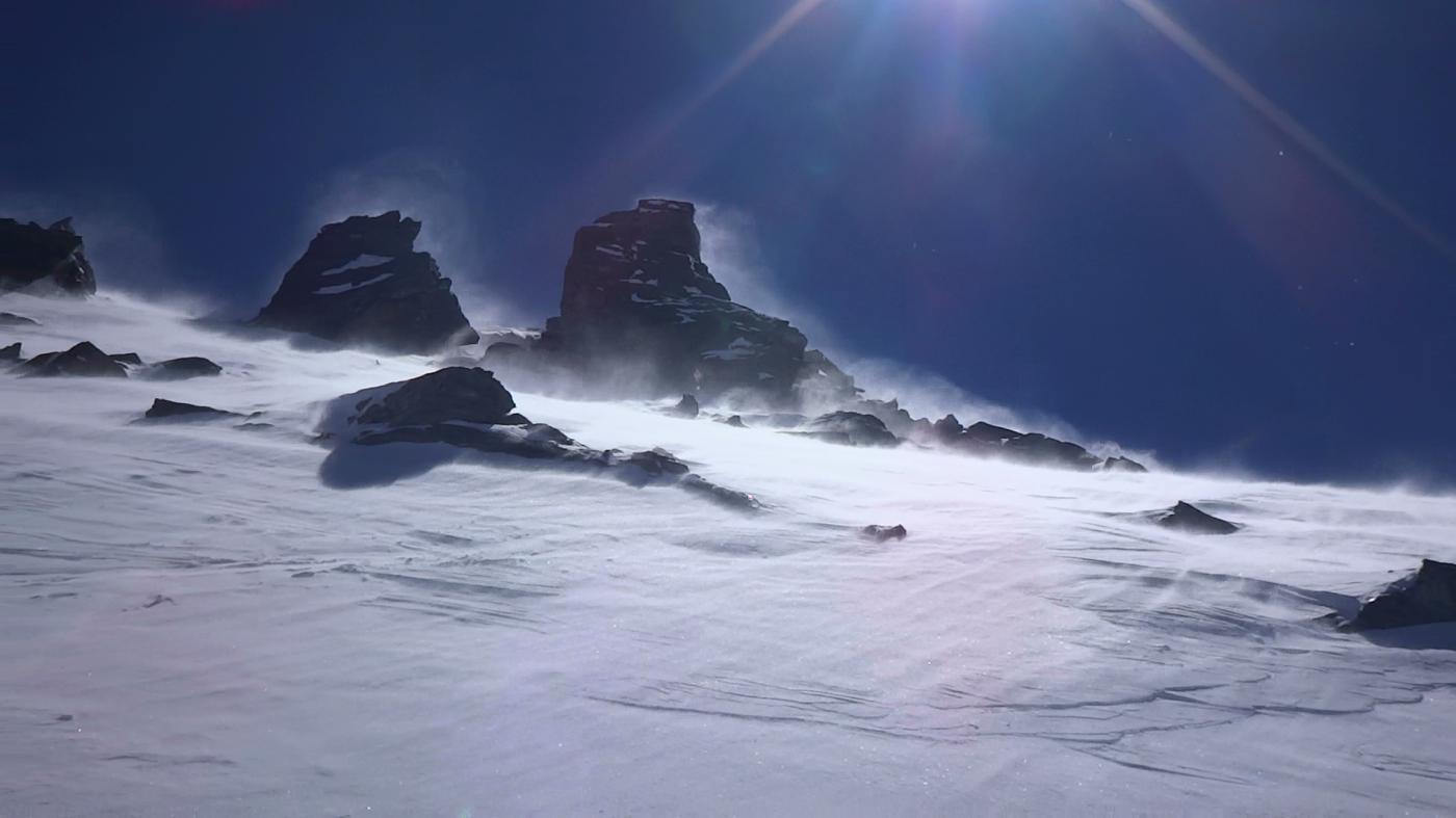
Seguendo i segnavia 4 e 4b si raggiunge il panoramico Plan Cou. Vero nido d’aquila. Una coppia di gipeti, in questi anni, ha nidificato nella parete che scende a strapiombo verso la valle di Rhemes. Conoscendo bene la morfologia, si riece a scendere in zone con boschina rada e/o lungo cannalini senza alberi divertentissimi.
Nelle vicinanze Mappa
Itinerari
30/12/2017 AO, Rhemes-Saint-Georges D+ 1214 m MS Ovest
Paillasse (Mont) da Coveyrand
 3.5Km
3.5Km
16/11/2019 AO, Introd D+ 800 m OS Nord
Puppet (Mont) da Introd
3.9Km
01/03/2026 AO, Saint-Nicolas D+ 881 m BS Sud
Aquiletta (Punta) o Oilletta da Vens
 4.8Km
4.8Km
15/12/2018 AO, Arvier D+ 1764 m BSA Nord-Ovest
Grand Revers da Chamin
 5.1Km
5.1Km
02/03/2025 AO, Arvier D+ 1902 m BS Nord
Tos (Becca di) da Chamin
 5.1Km
5.1Km
06/01/2026 AO, Avise D+ 1320 m BS Varie
Serena (Testa di) da Vedun
 5.4Km
5.4Km
08/12/2021 AO, Avise D+ 750 m MS Nord-Est
Court de Bard da Vedun
 5.4Km
5.4Km
03/02/2024 AO, Avise D+ 1106 m MS Est
Fetita (Punta) o Falita da Vedun
 5.4Km
5.4Km
31/01/2026 AO, Avise D+ 1123 m BS Sud-Ovest
Aquiletta (Punta) o Oilletta da Vedun
 5.4Km
5.4Km
04/02/2024 AO, Avise D+ 1275 m BS Est
Frà (Testa dei) da Vedun
 5.4Km
5.4Km