2.6Km
2.6Km


Note
 50m
50m
4.3Km
4.3Km
4.3Km
4.3Km
4.3Km
4.3Km
4.3Km
4.3Km
50m
50m
4.3Km
4.3Km
4.3Km
4.3Km
4.3Km
4.3Km
4.3Km
4.3Km
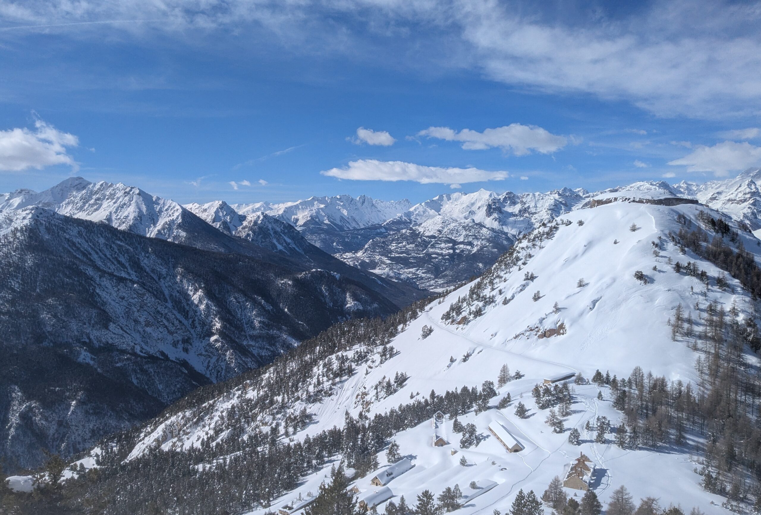
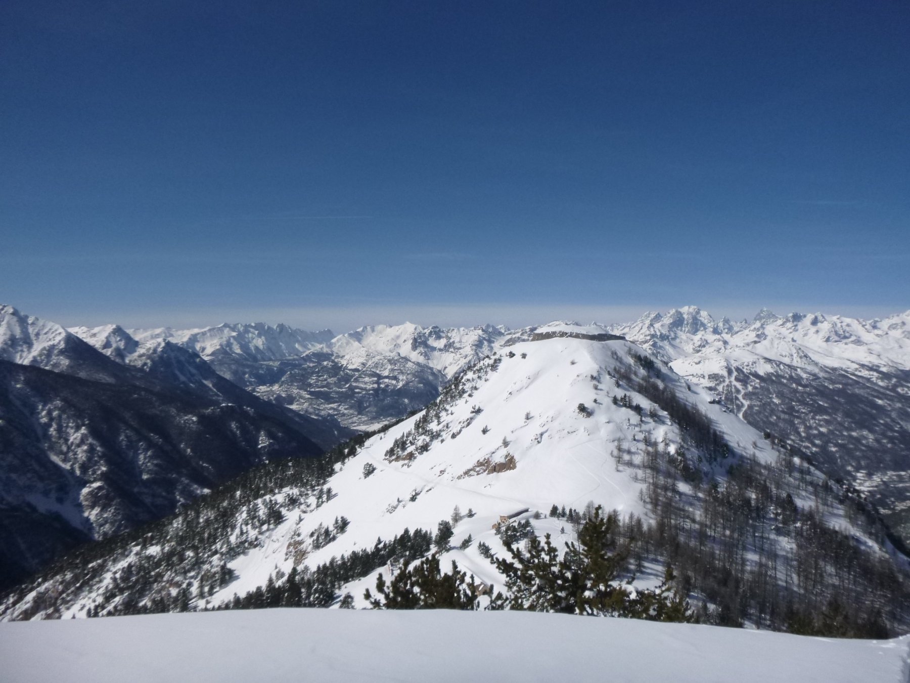
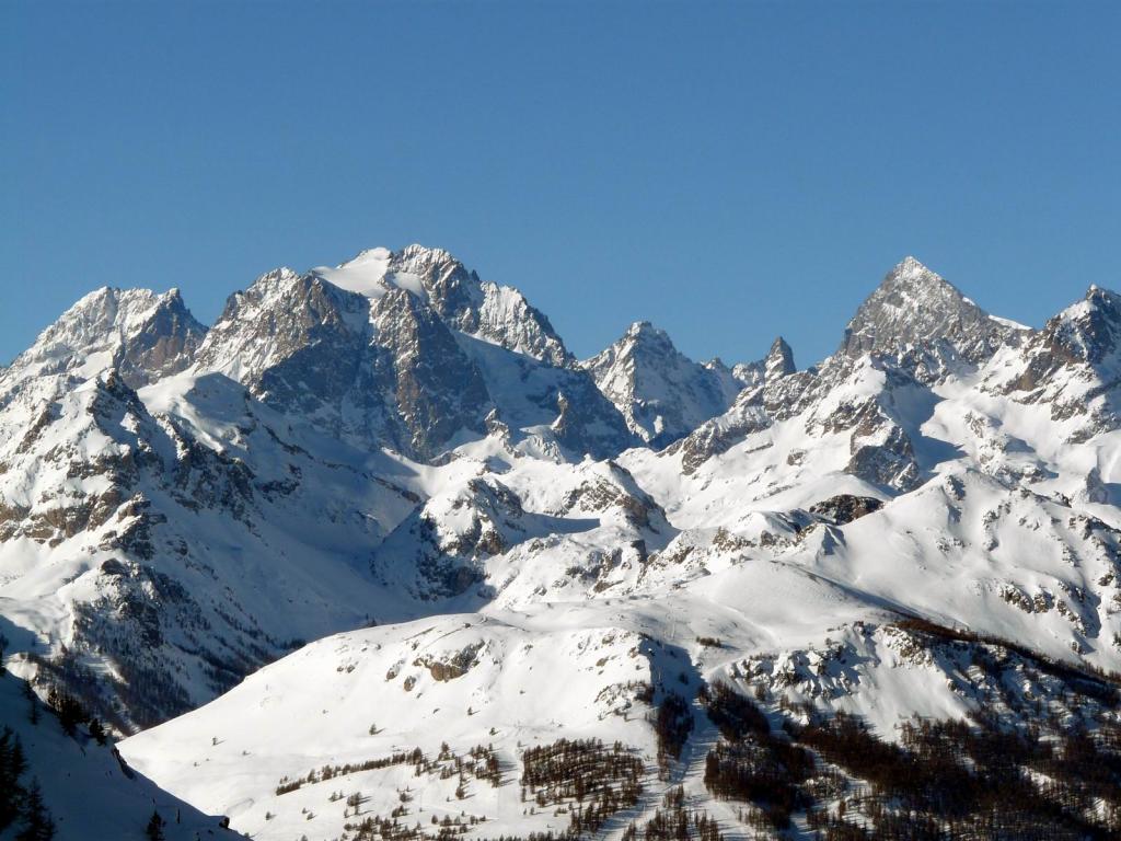
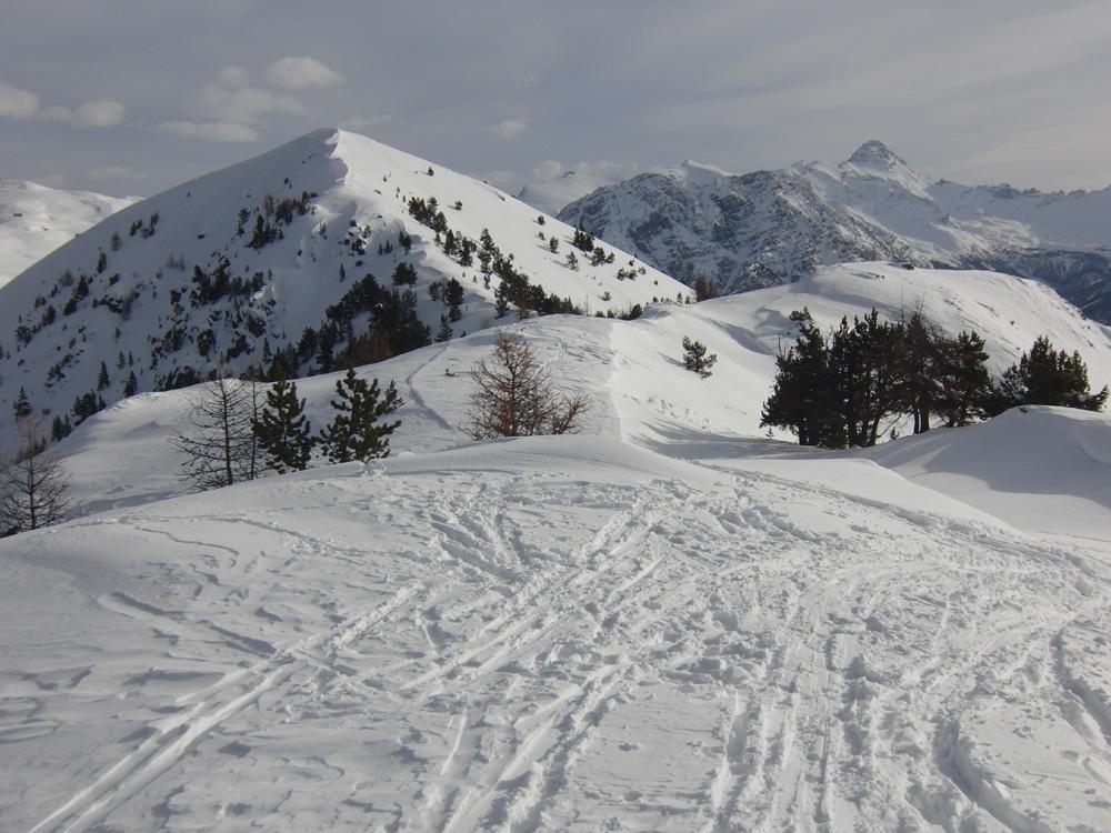
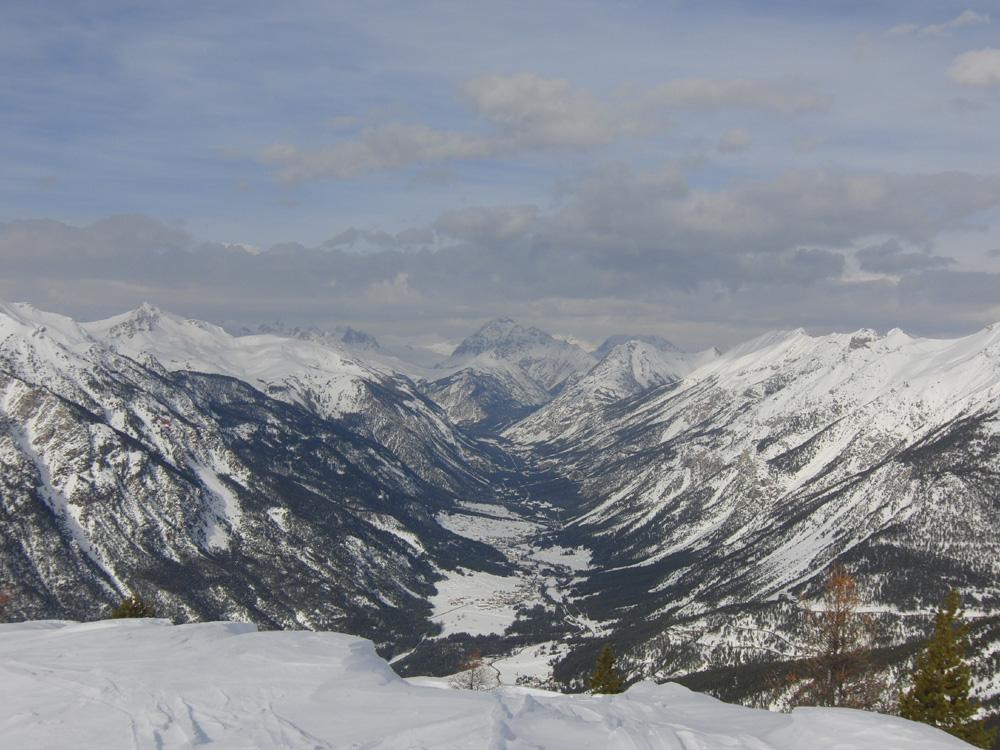
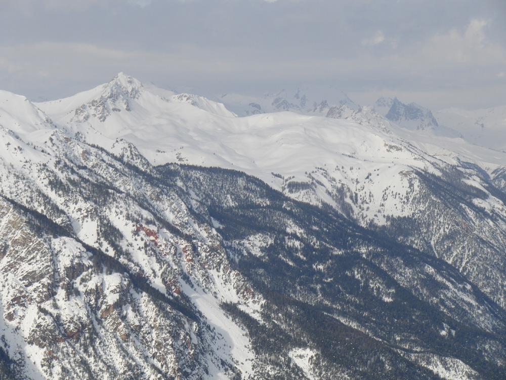
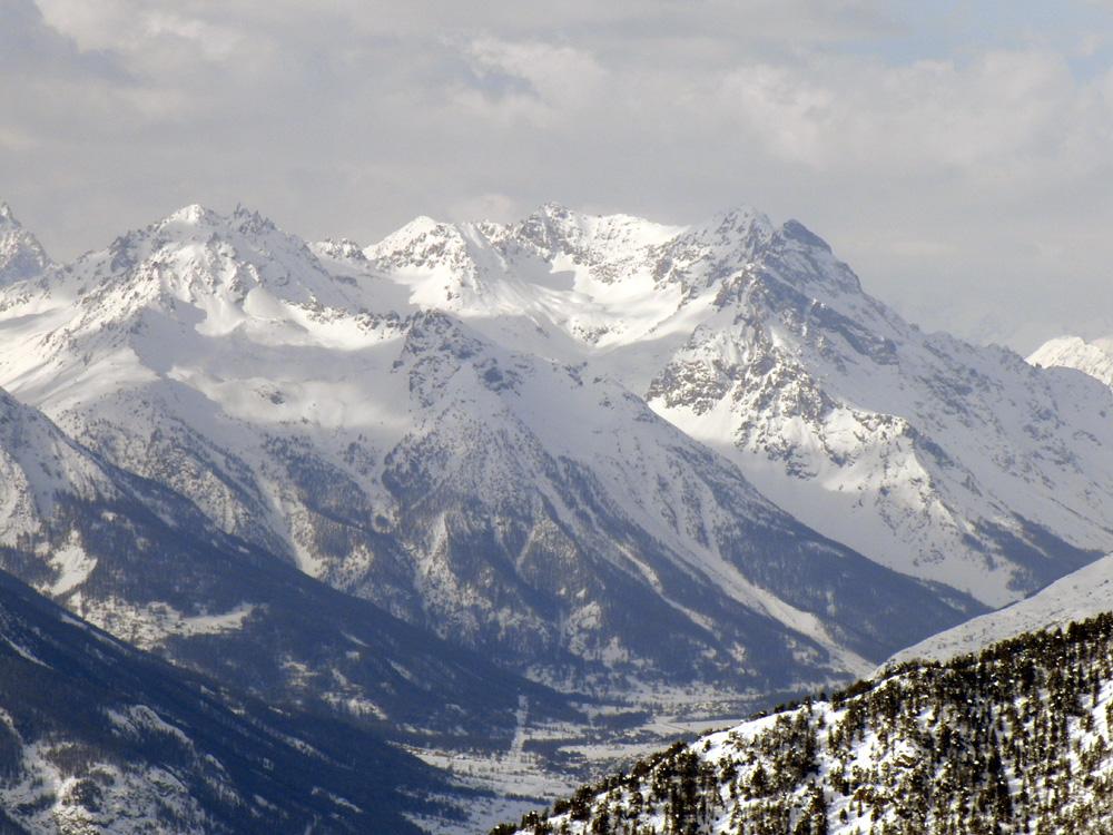
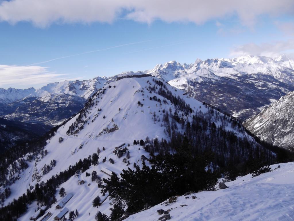
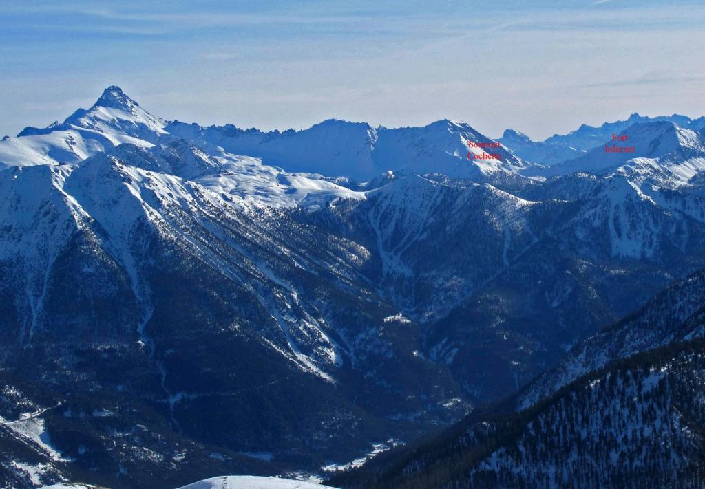
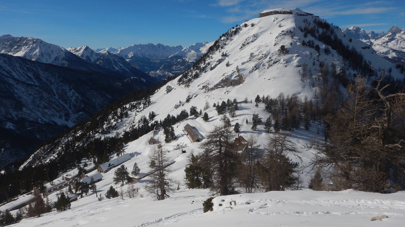
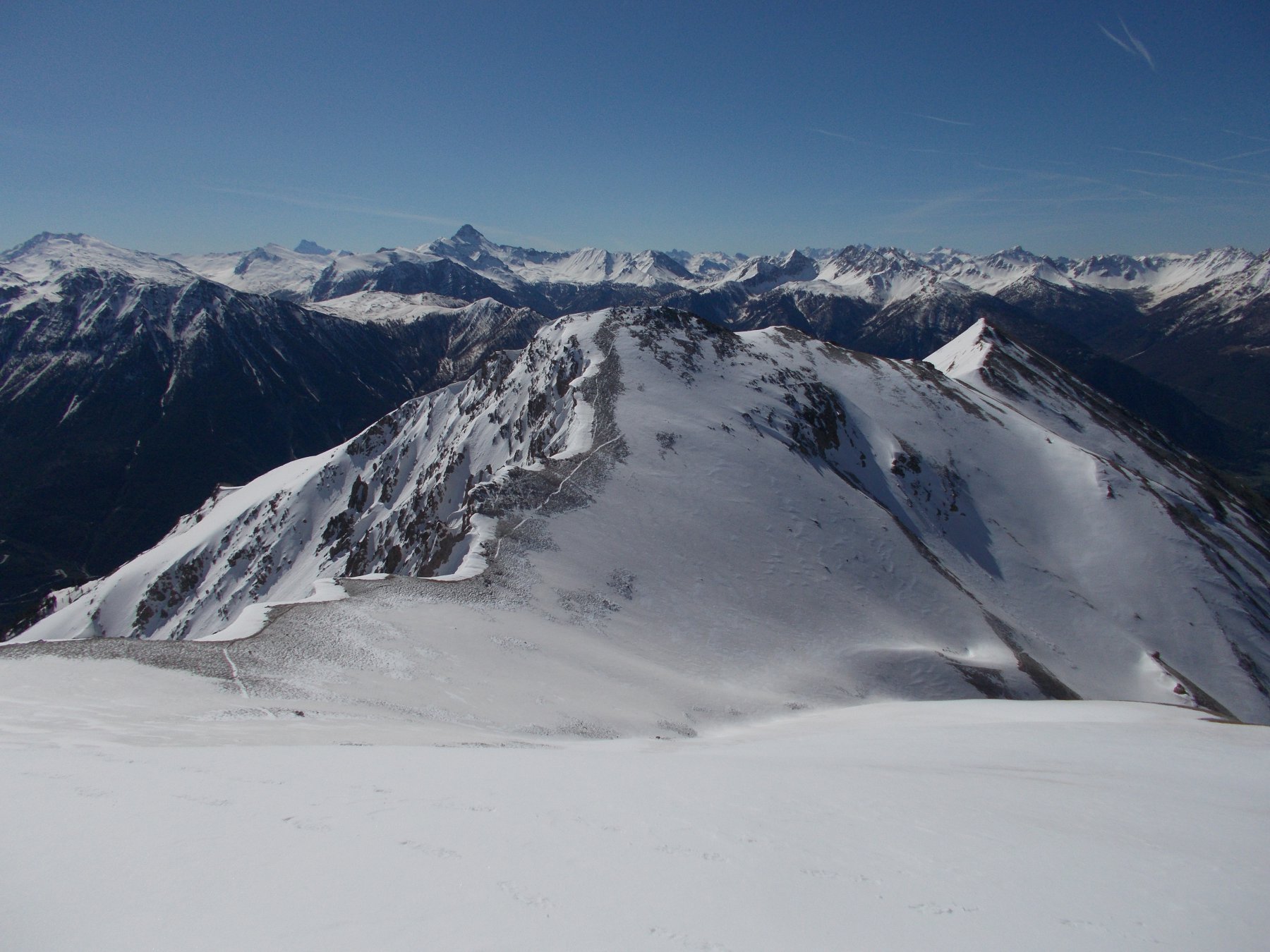
La cima della Cochette è situata ad est rispetto alle fortificazioni dell'Infernet, ma ne ricalca sostanzialmente l'itinerario rimanendo indipendente rispetto all'itinerario dell'Ombilic che si svolge nel vallone più a sinistra.
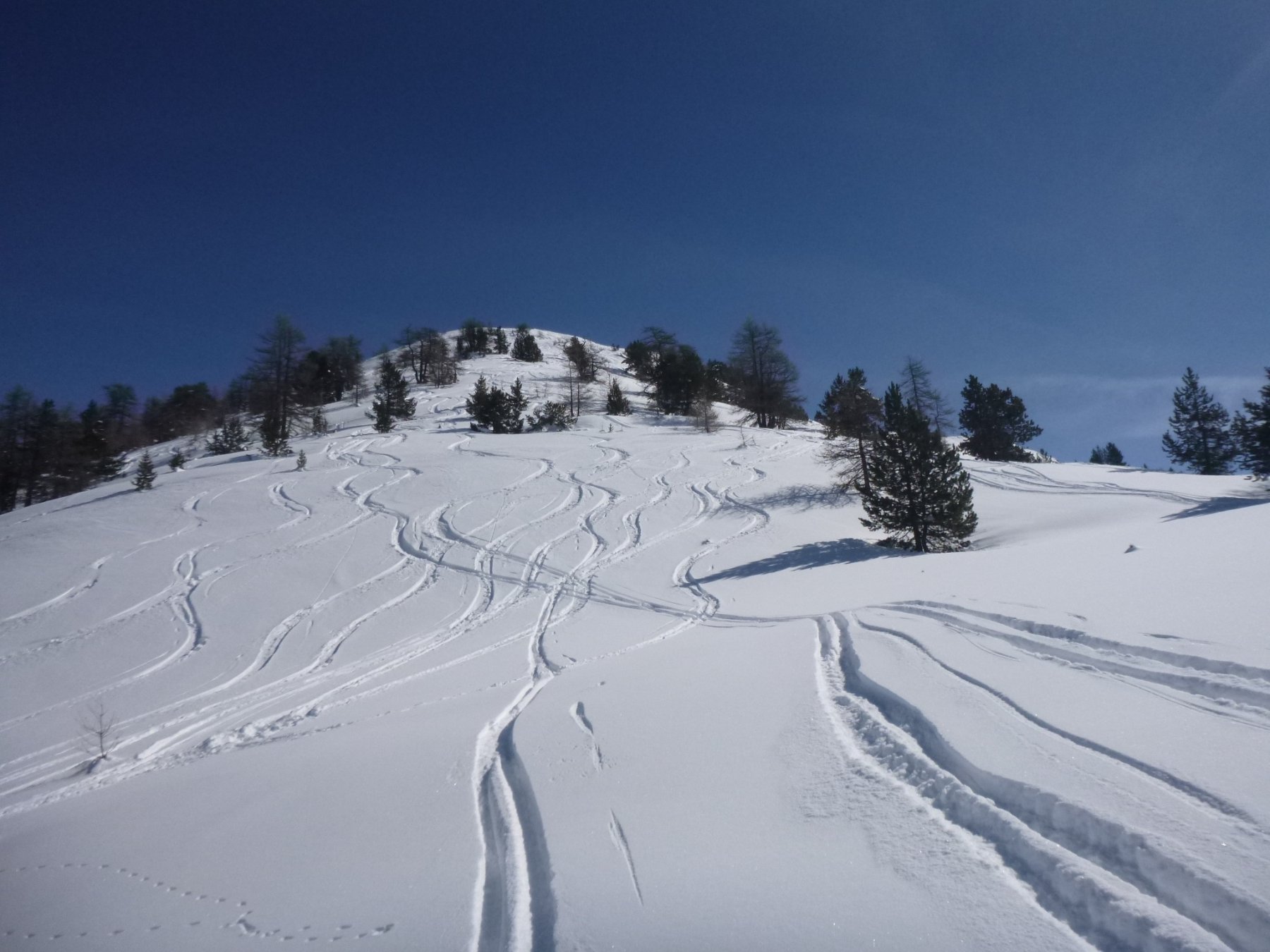
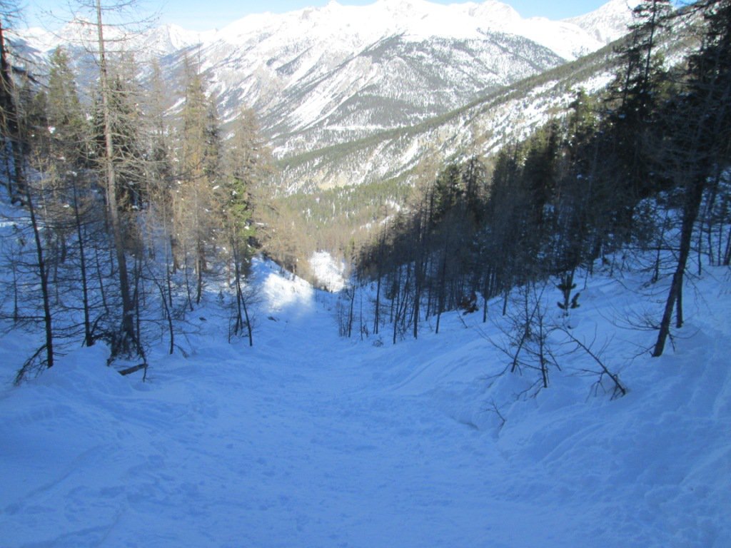
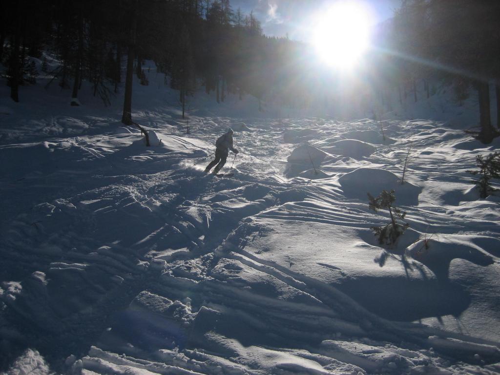
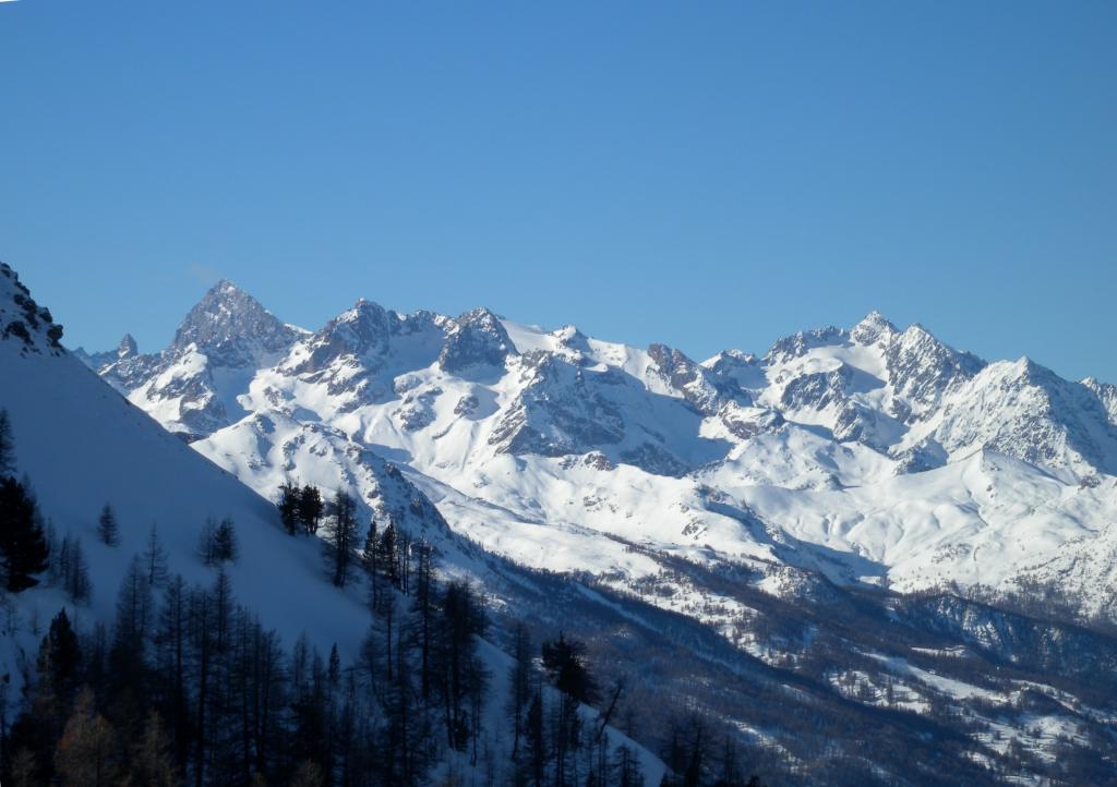
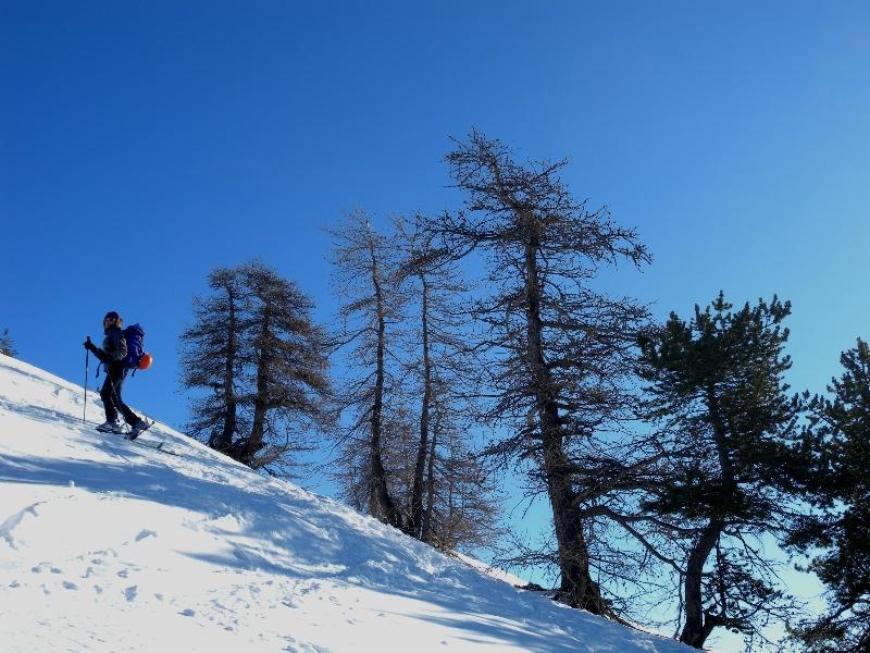
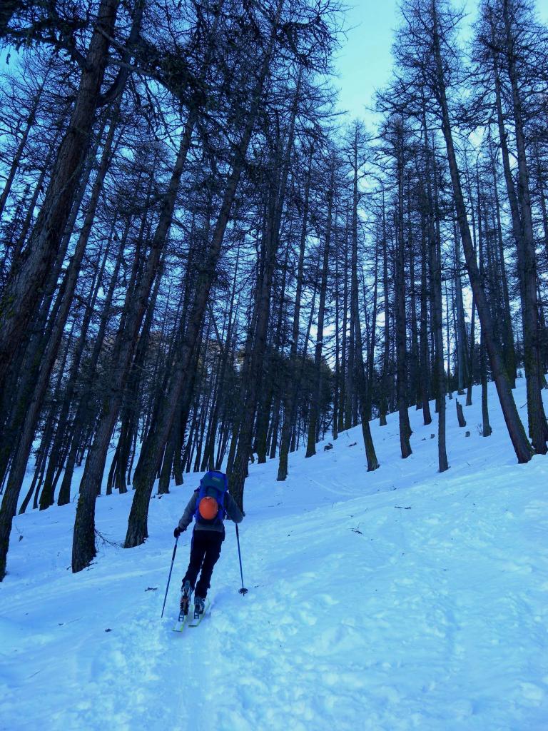
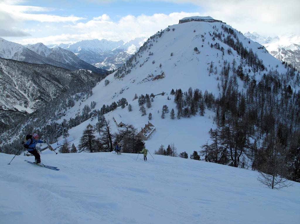
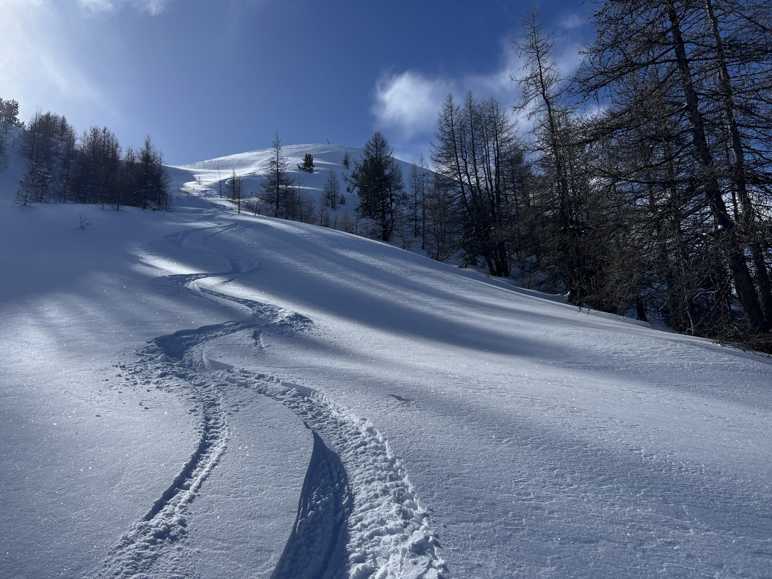
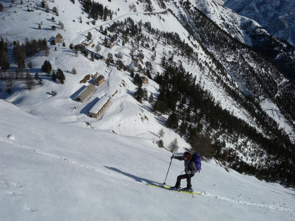
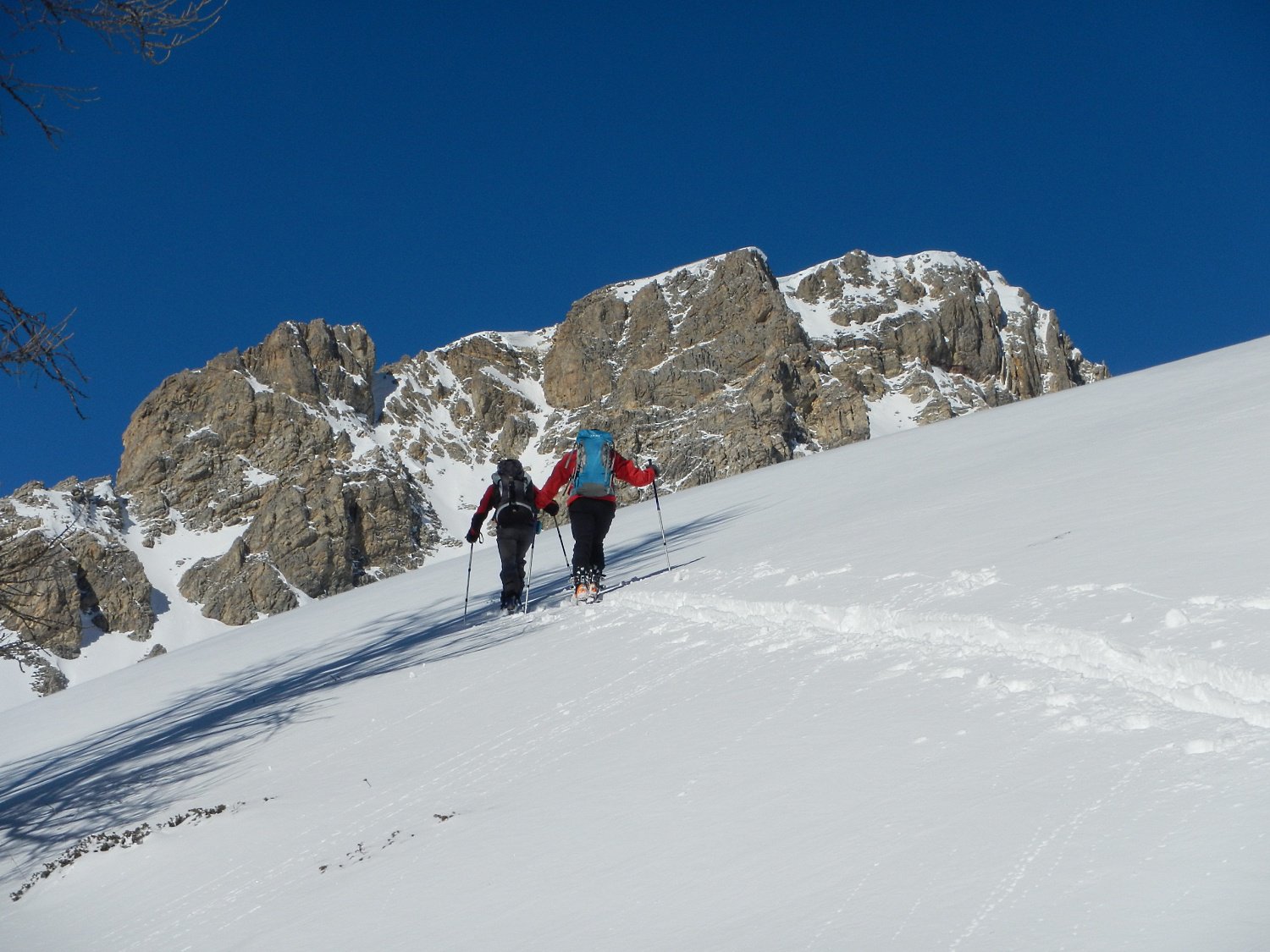
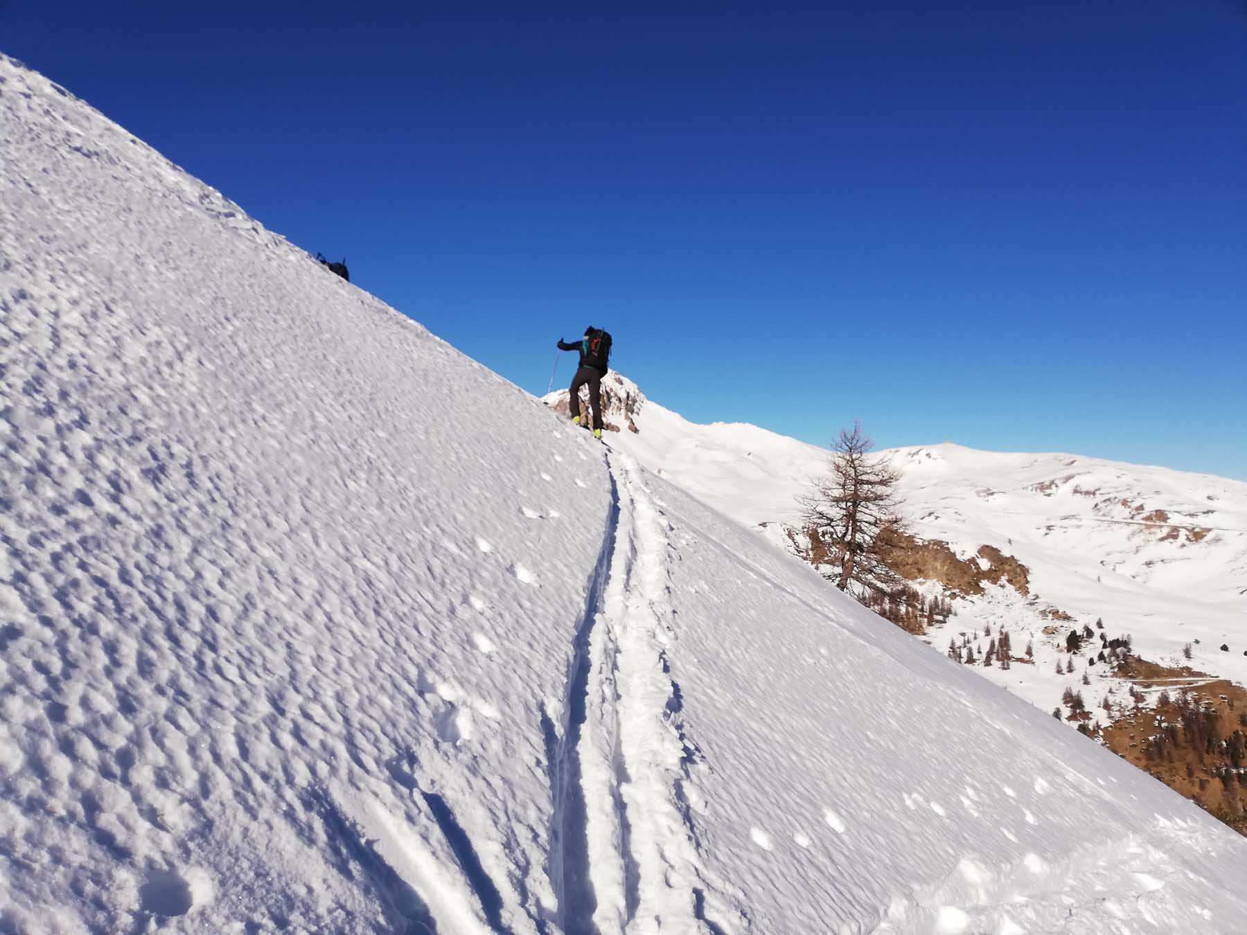
Il percorso si svolge su terreno boscoso abbastanza sostenuto ma sempre ottimamente sciabile specie tenendosi nei boschi diretti sotto la cima.
La quota segnalata dalla Carta IGN francese è 2354 m.
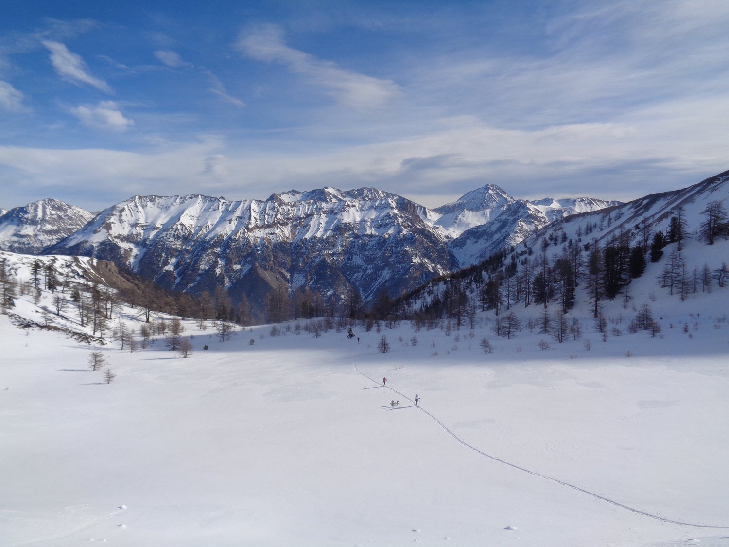
Avvicinamento
Il percorso si svolge su terreno boscoso abbastanza sostenuto ma sempre ottimamente sciabile specie tenendosi nei boschi diretti sotto la cima.
La quota segnalata dalla Carta IGN francese è 2354 m.
.
Descrizione
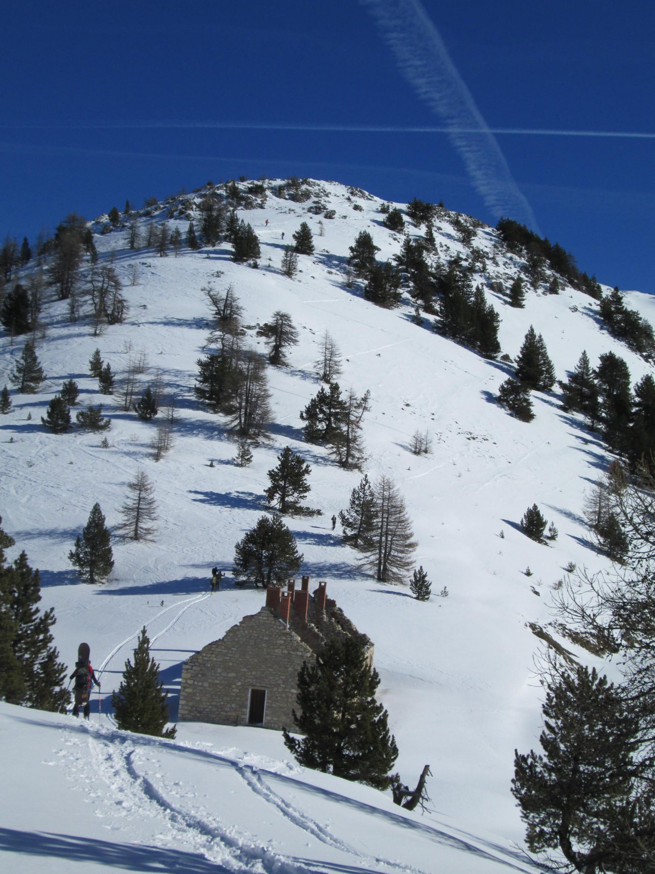
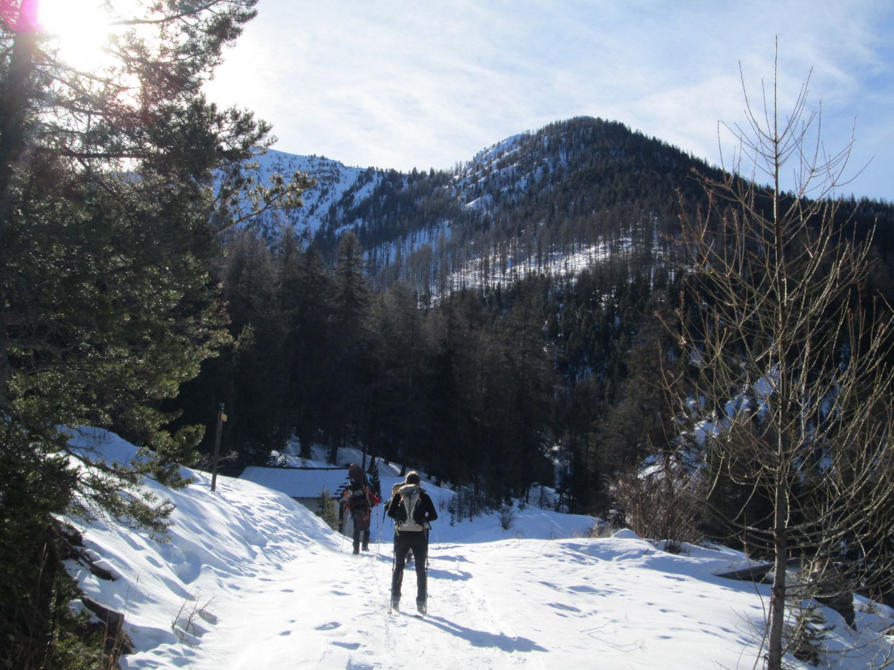
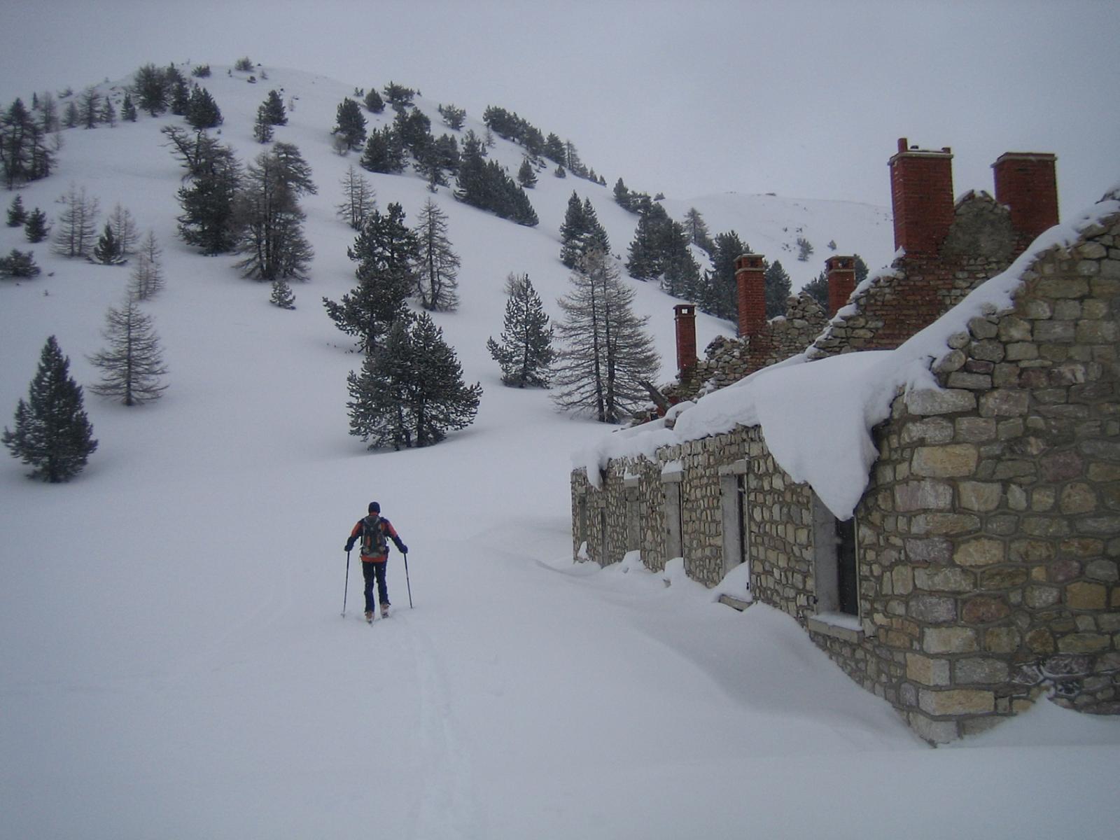
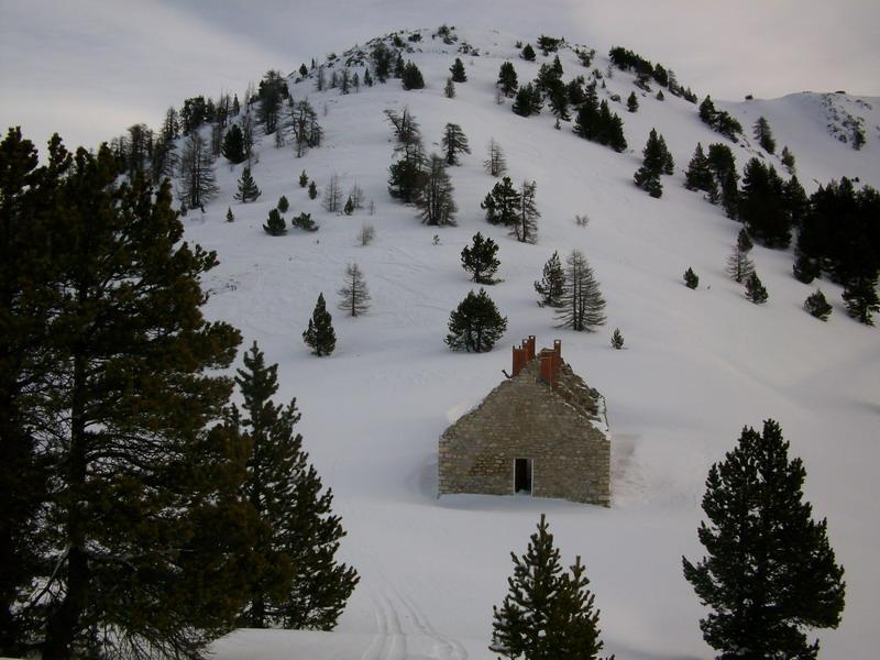
Si parte dal ristorante che si incontra scendendo a sx sopra il bivio per la Vachette.
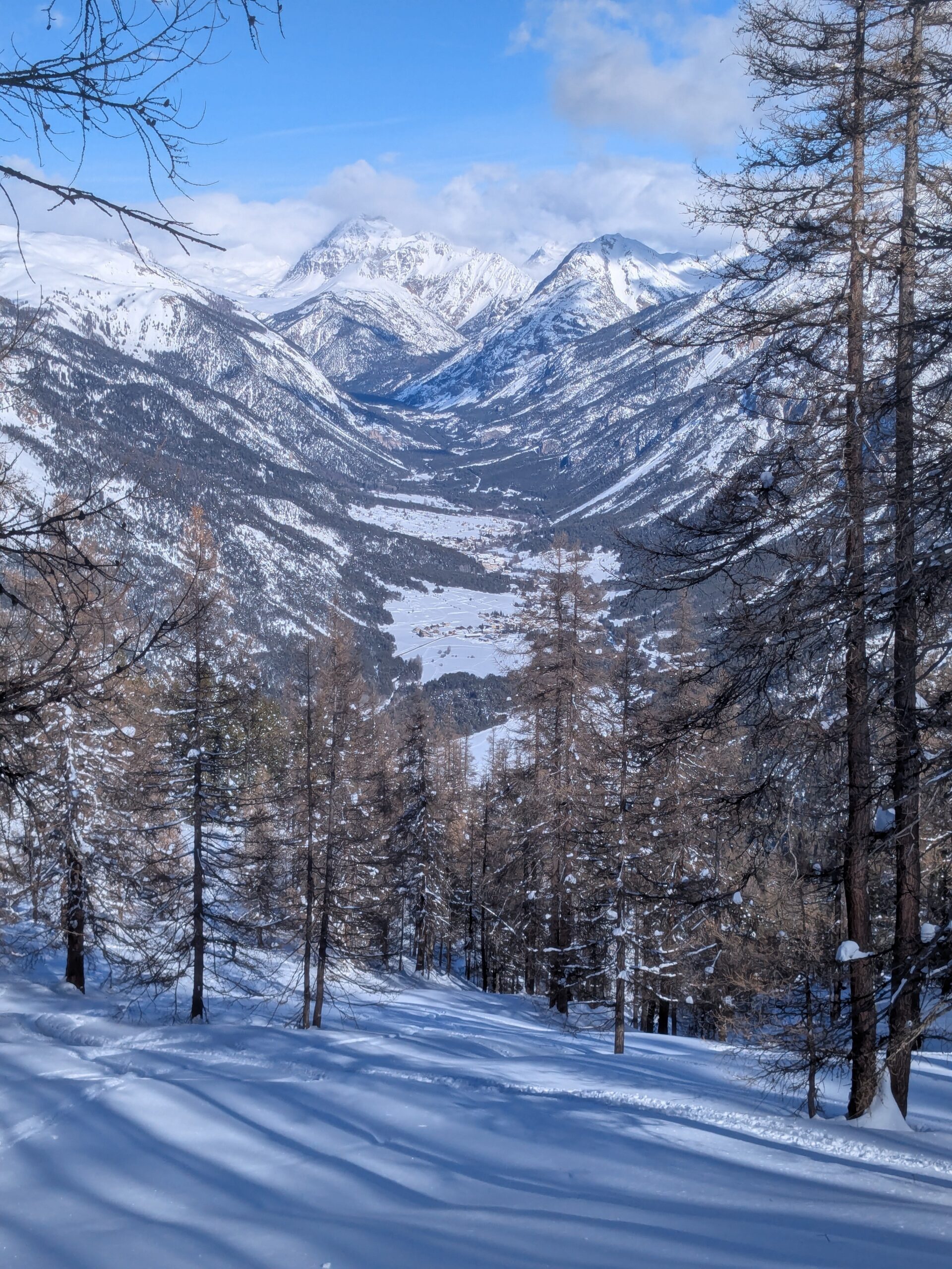
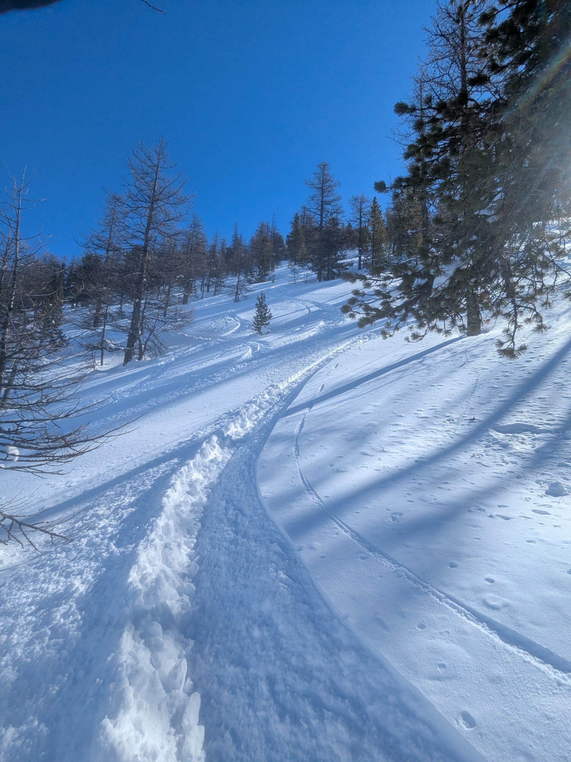
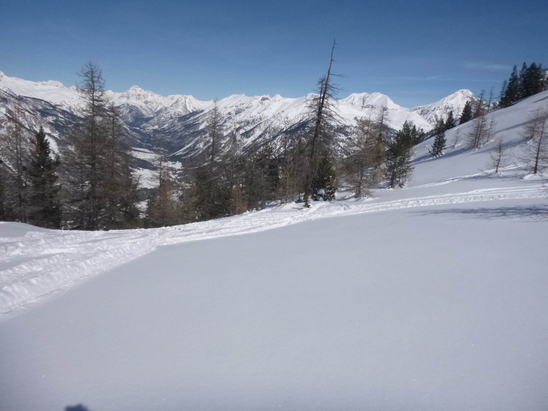
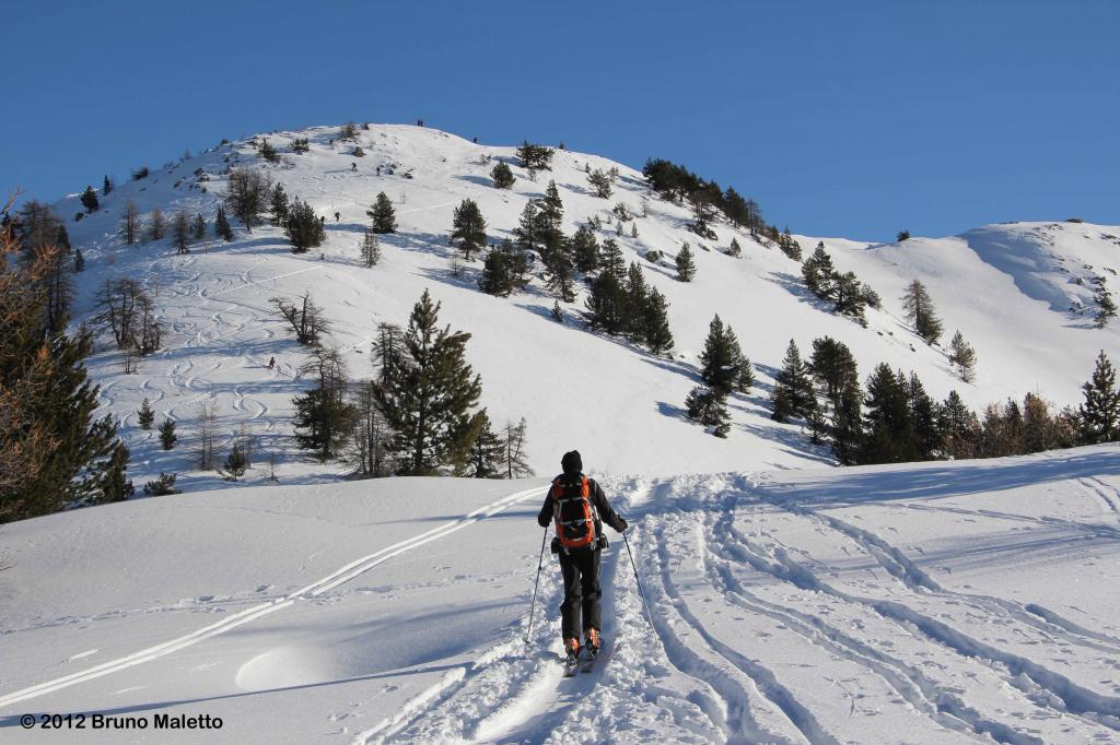
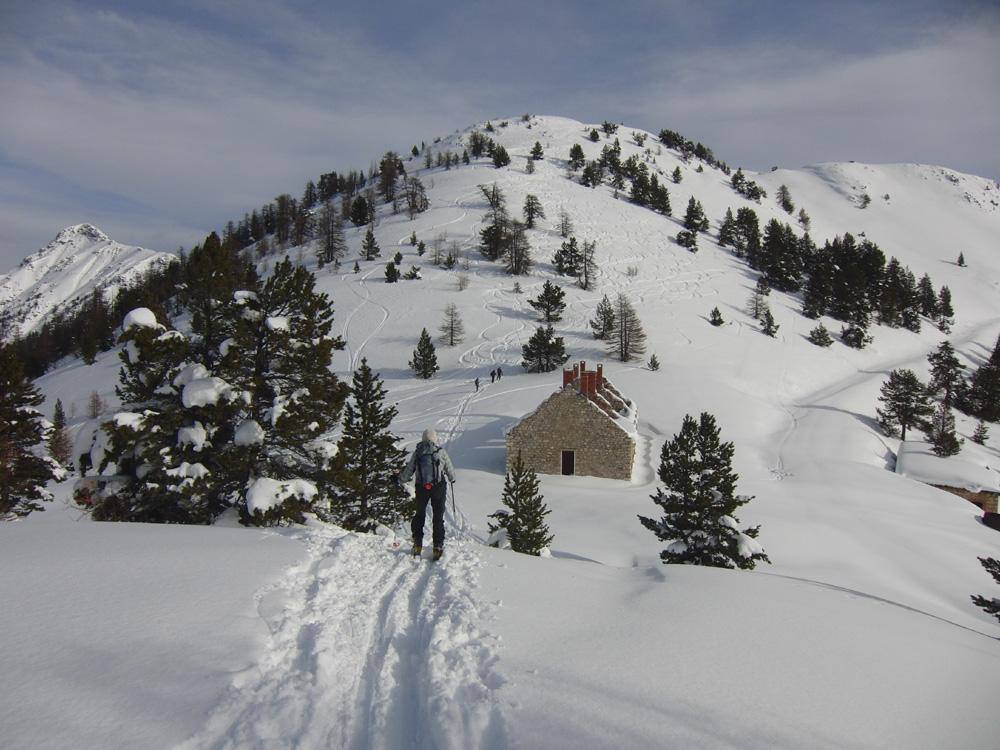
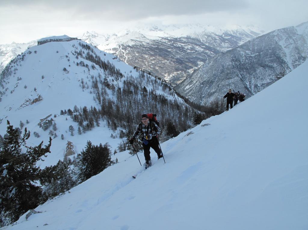
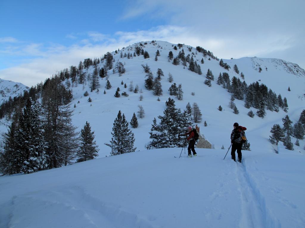
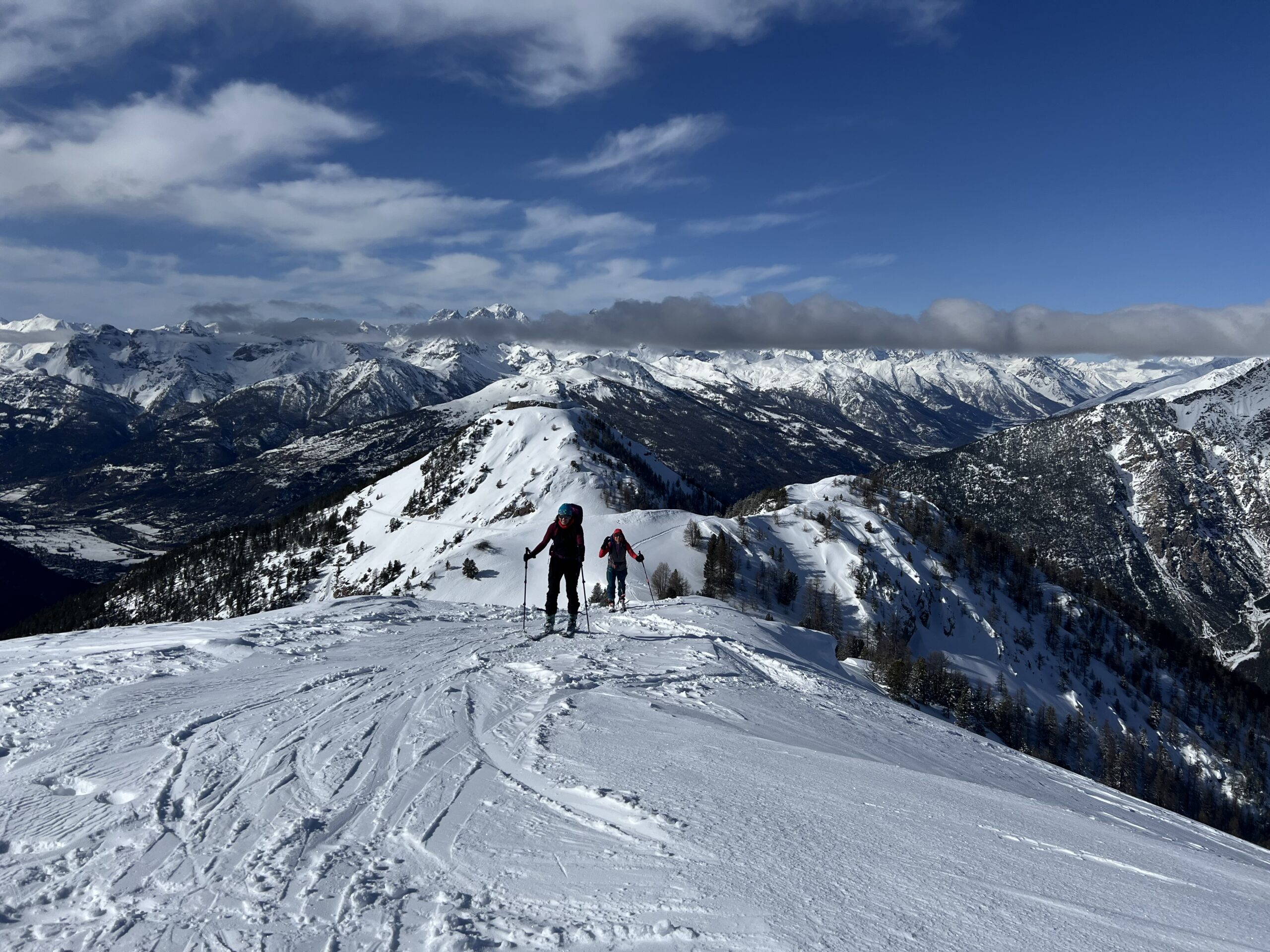
Risalire il bosco seguendo un sentiero mulattiera sempre abbastanza ripido per poi abbandonarlo tenendo il fianco sx sopra un canalone della dorsale principale, seguire in direzione del colle tra la Sommet de la Cochette e il forte dell’Infernet sulla dx ora visibili. Dal colle a sx in cima. Discesa per il bel bosco di conifere scegliendo le linee migliori.
Nelle vicinanze Mappa
Itinerari
16/01/2024 Hautes-Alpes, Val-des-Prés D+ 1021 m BS Nord
Infernet (Fort de l’) da La Vachette
 50m
50m
09/02/2025 Hautes-Alpes, Val-des-Prés D+ 1054 m BS Nord-Ovest
Ombilic (l’) da la Vachette
 50m
50m
27/01/2024 Hautes-Alpes, Val-des-Prés D+ 1348 m MS Varie
Gardiole (la) da la Draye per il Vallon du Granon
 4.3Km
4.3Km
12/01/2025 Hautes-Alpes, Val-des-Prés D+ 1108 m MS Sud-Est
Lenlon (Fort de) da la Draye
 4.3Km
4.3Km
21/02/2025 Hautes-Alpes, Val-des-Prés D+ 1280 m BS Sud
Gauthier (Roche) spalla 2682 m da la Draye
 4.3Km
4.3Km
18/01/2025 Hautes-Alpes, Val-des-Prés D+ 1000 m MS Nord-Est
Peyrolle (Crete de la), spalla NE 2400 m da la Draye per il Vallon du Granon
 4.3Km
4.3Km
22/02/2025 Hautes-Alpes, Val-des-Prés D+ 1250 m BS Nord
Grande Peyrolle (la) da la Draye per il canalone nord
 4.3Km
4.3Km
08/02/2026 Hautes-Alpes, Val-des-Prés D+ 1116 m BS Nord-Est
Grand Meyret (le) da la Draye, anello
 4.3Km
4.3Km
04/02/2023 Hautes-Alpes, Val-des-Prés D+ 1110 m BS Nord
Petit Meyret (le) da la Draye
 4.3Km
4.3Km
15/01/2025 Hautes-Alpes, Val-des-Prés D+ 1004 m MS Nord
Granon (Col du) da la Draye
 4.3Km
4.3Km