600m
600m

Avvicinamento
 50m
50m
50m
50m
50m
50m
50m
50m
50m
50m
50m
50m
50m
50m
50m
50m
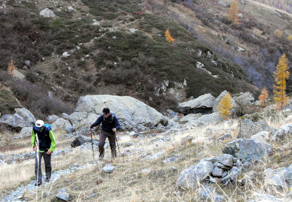
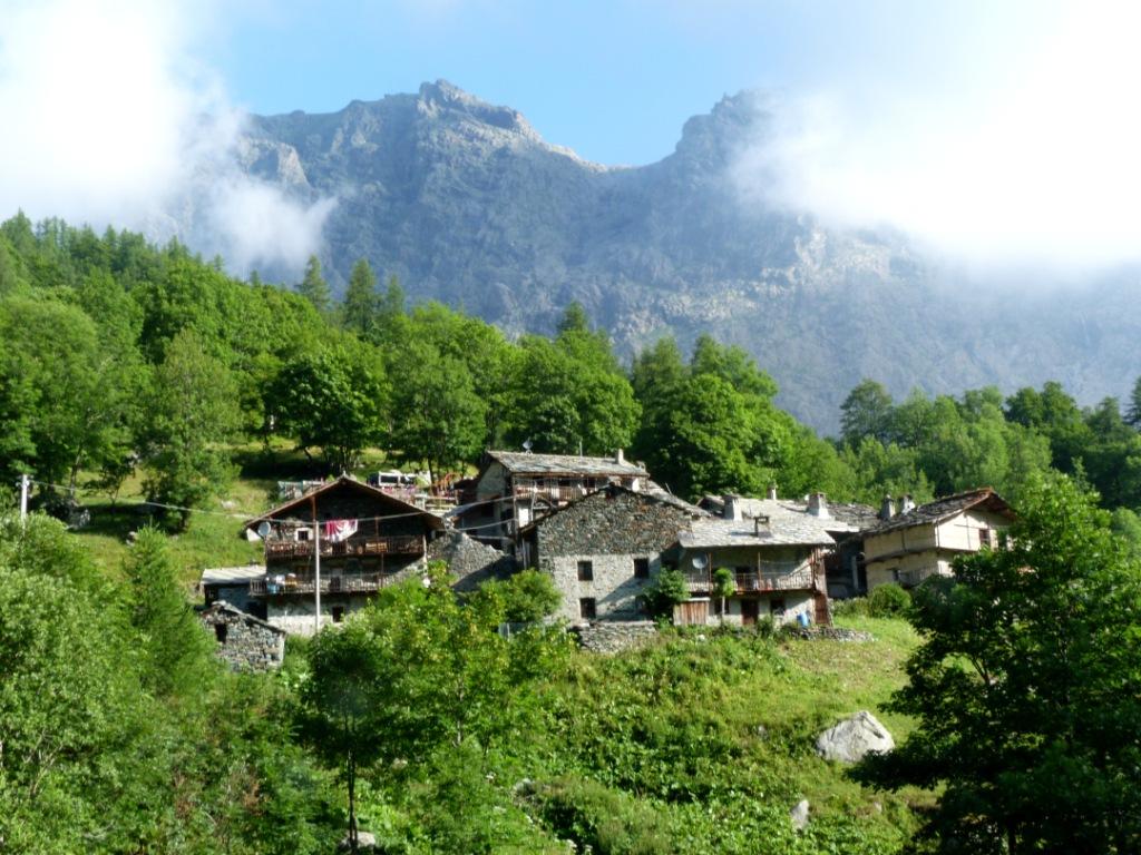
Risalire la valle di Ala di Stura, e prima di entrare nell’abitato di Balme svoltare a sinistra per immettersi in una stradina che in discesa, in breve, porta ad attraversare la Stura e conduce alla frazione Cornetti 1435 m.
Proseguire sino a quando questa diviene sterrata e dopo 800 m all’altezza di un ponticello posteggiare l’auto, poco prima della frazione Frè.
Descrizione
Proseguire sino a quando questa diviene sterrata e dopo 800 m all’altezza di un ponticello posteggiare l’auto, poco prima della frazione Frè.
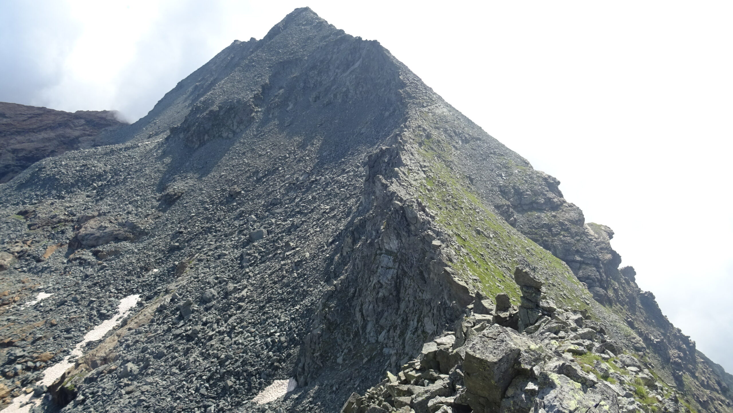
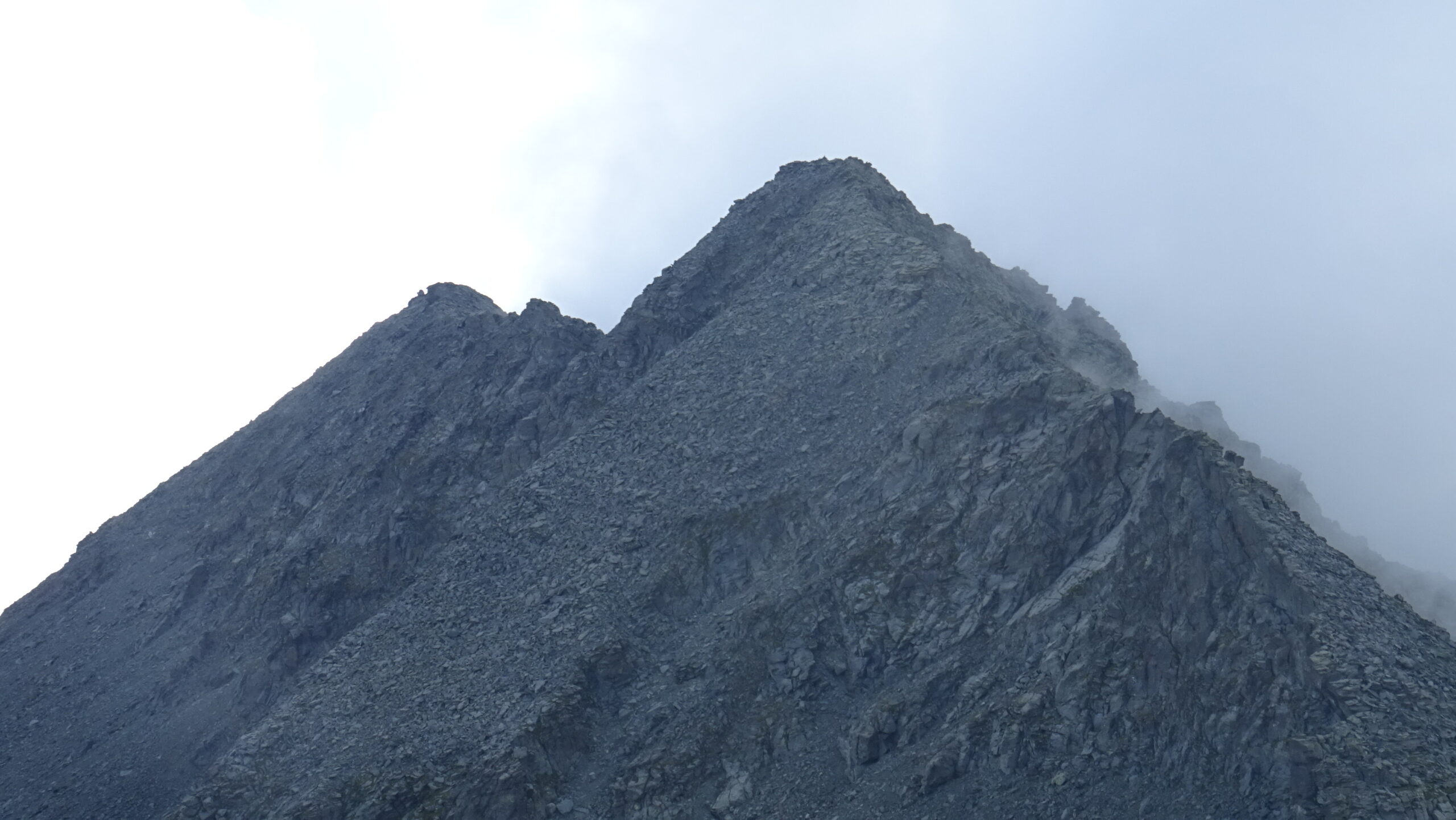
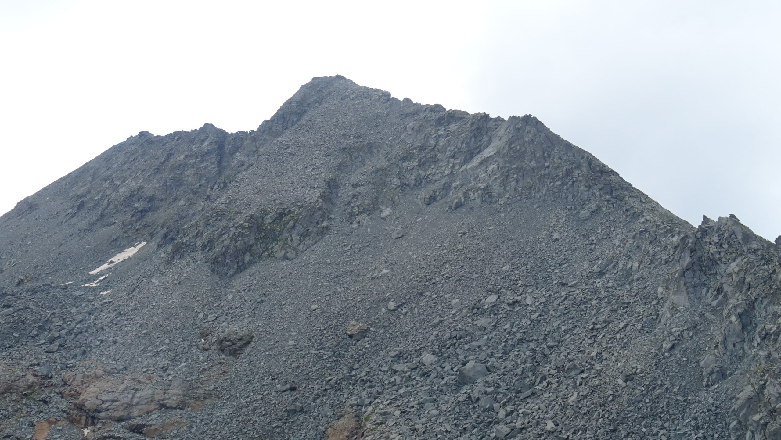
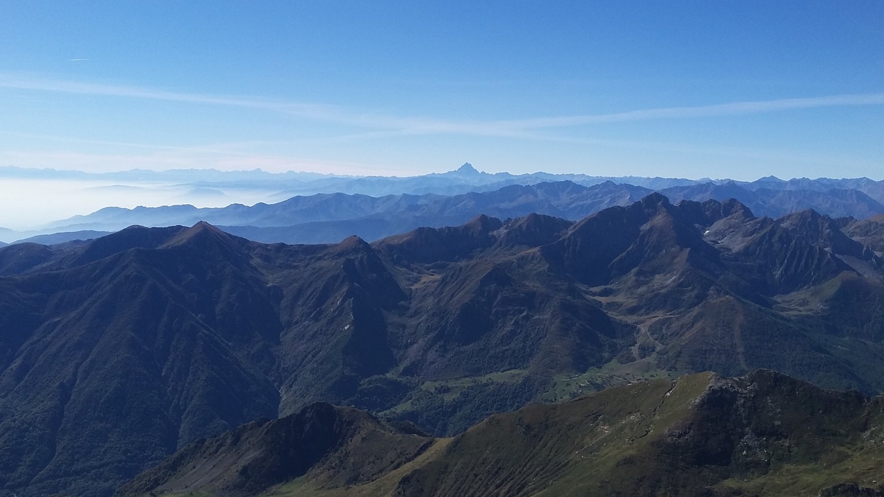
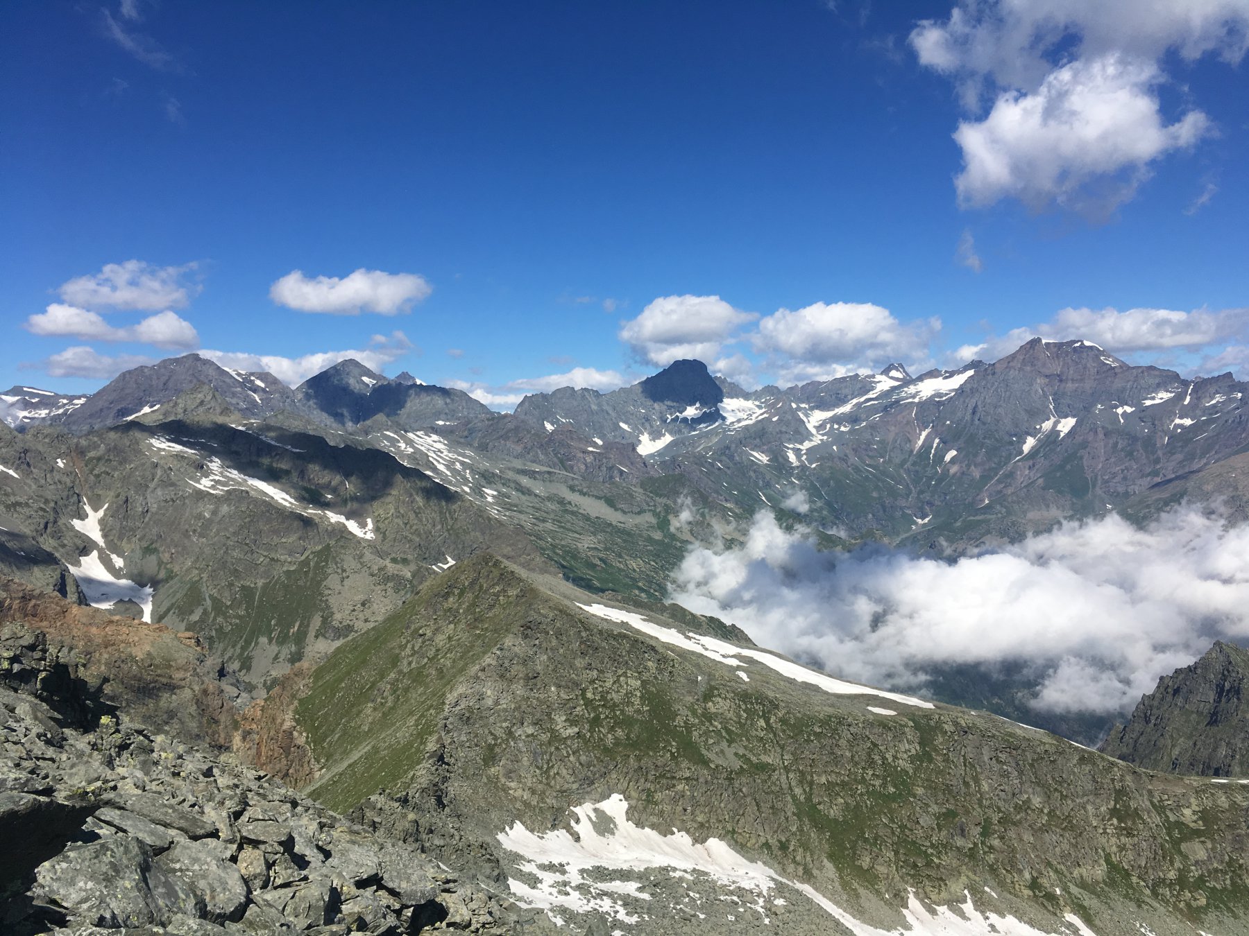
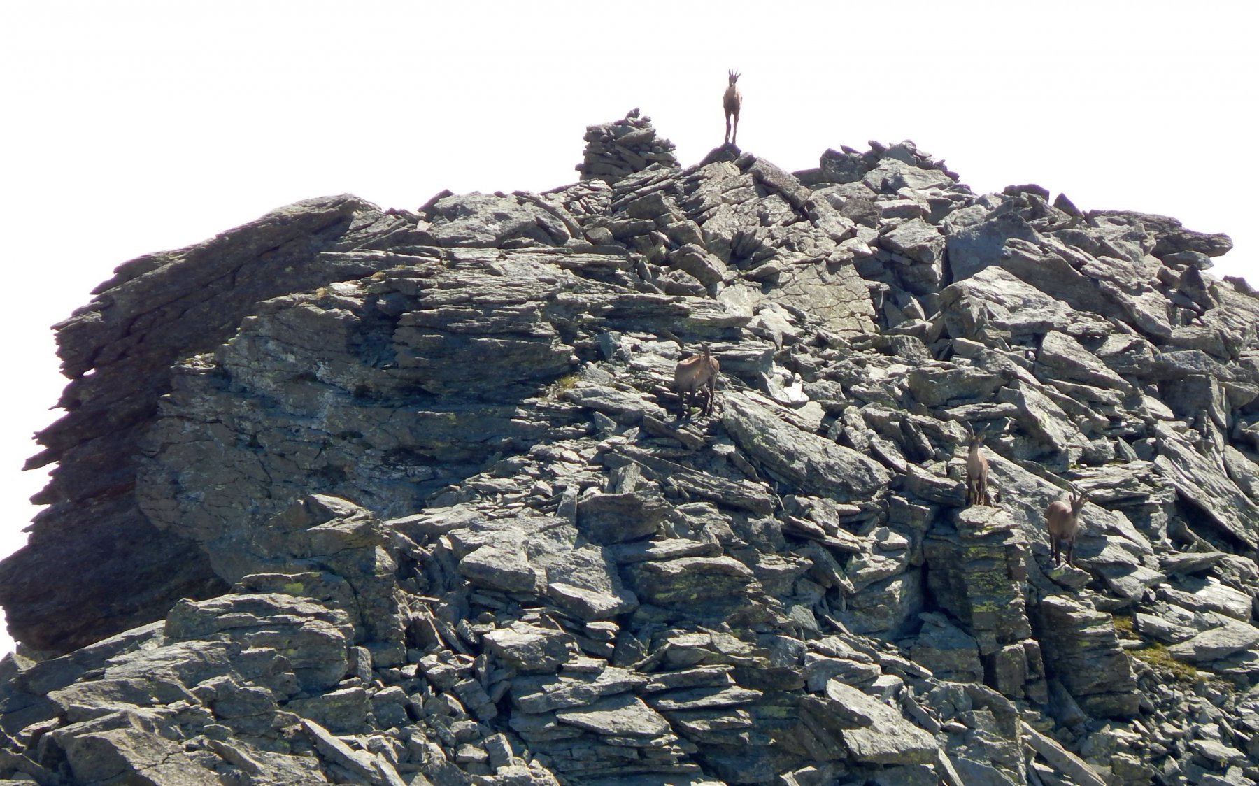
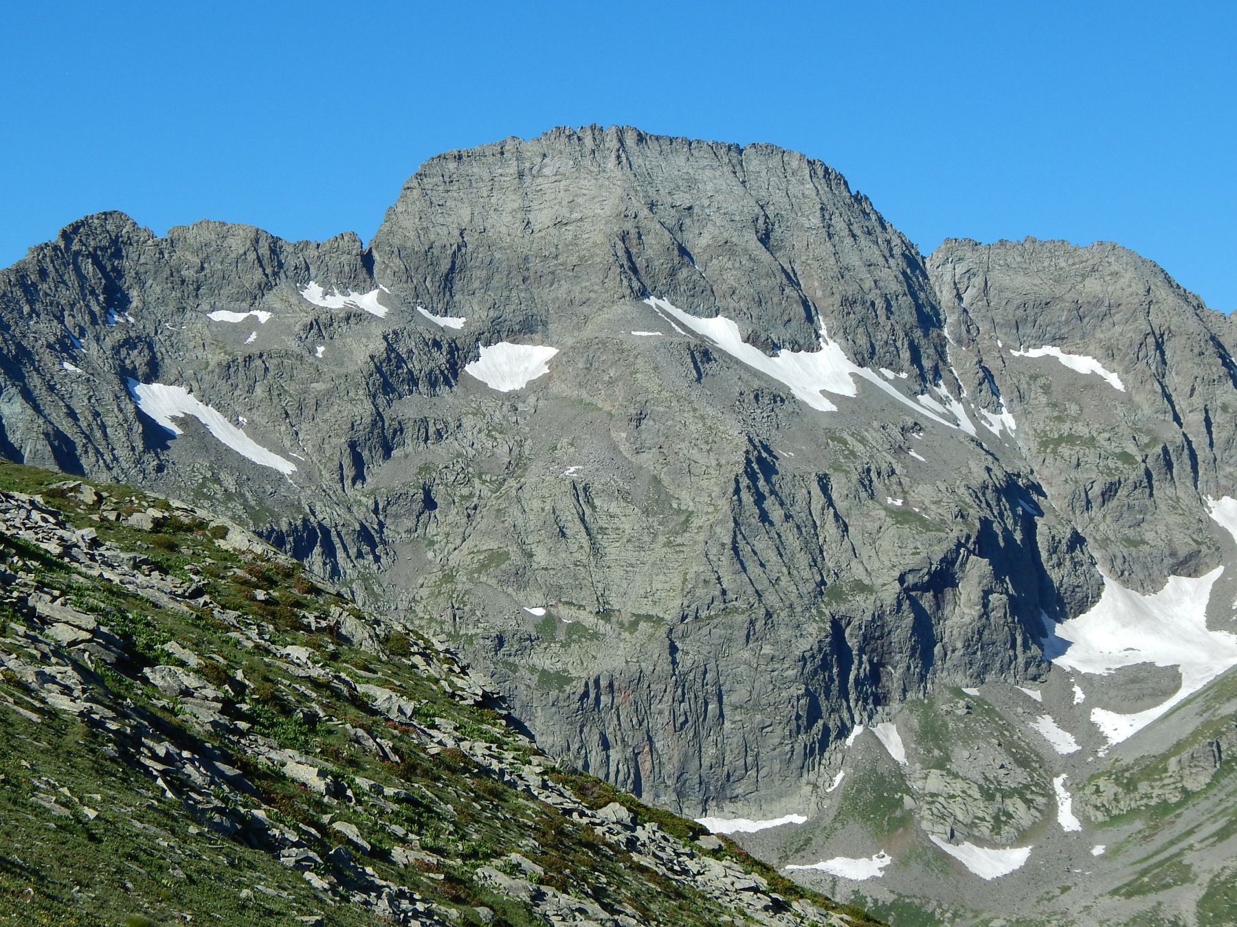
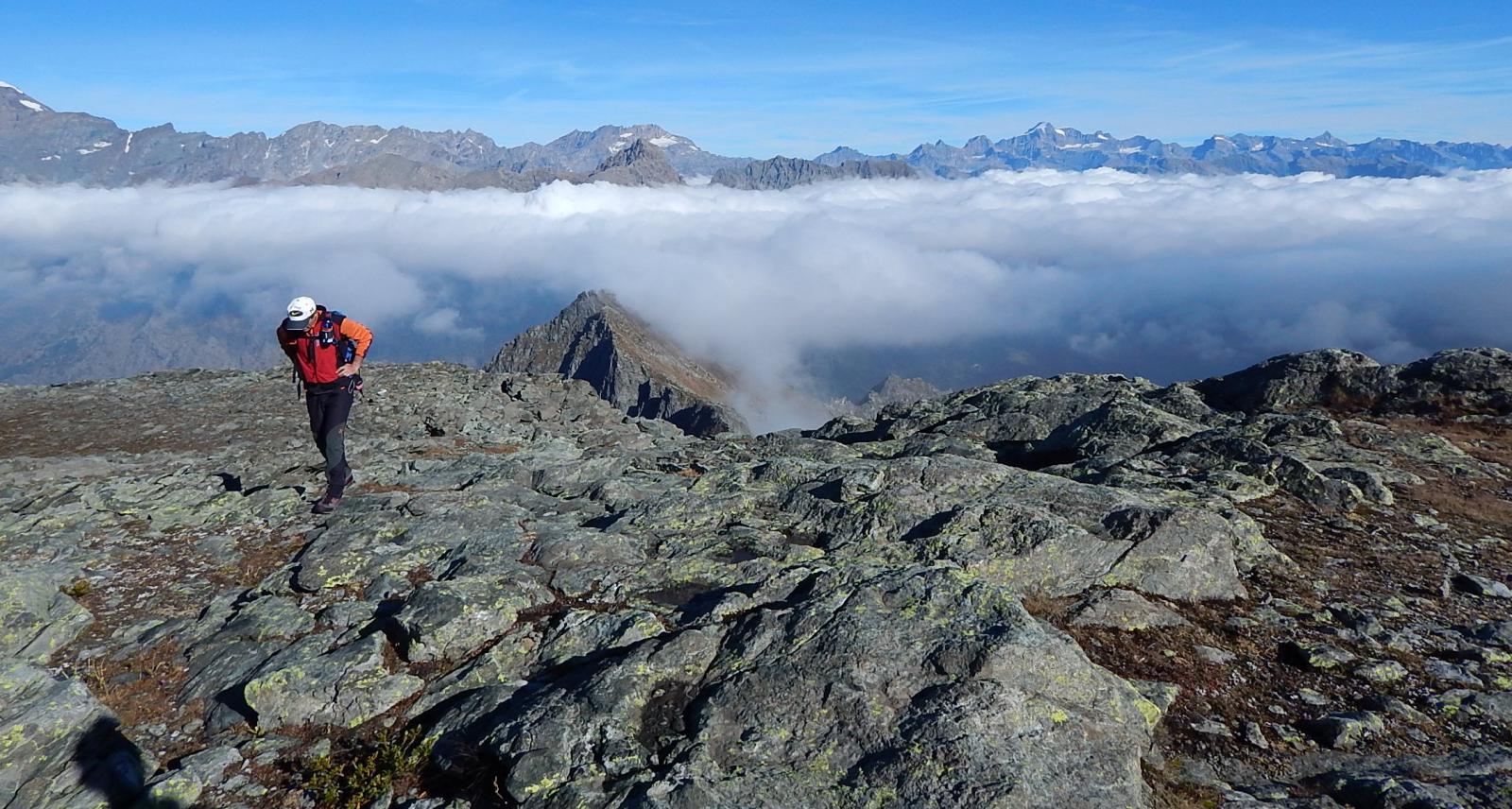
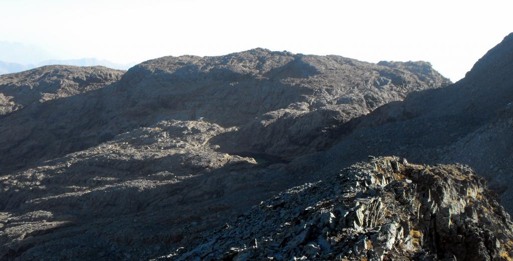
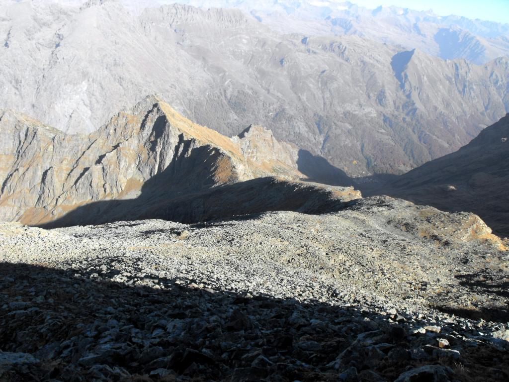
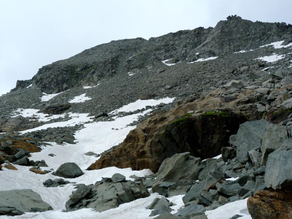
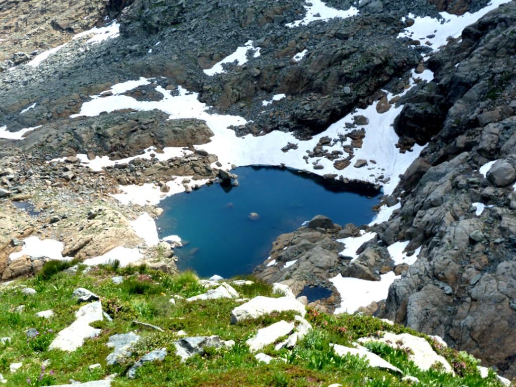
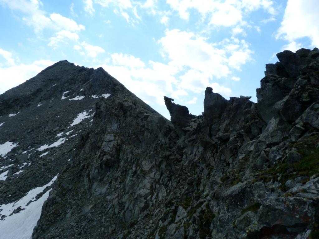
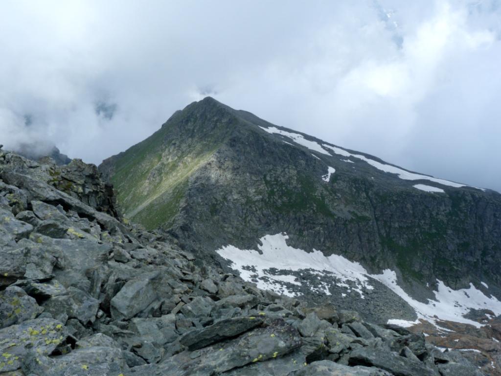
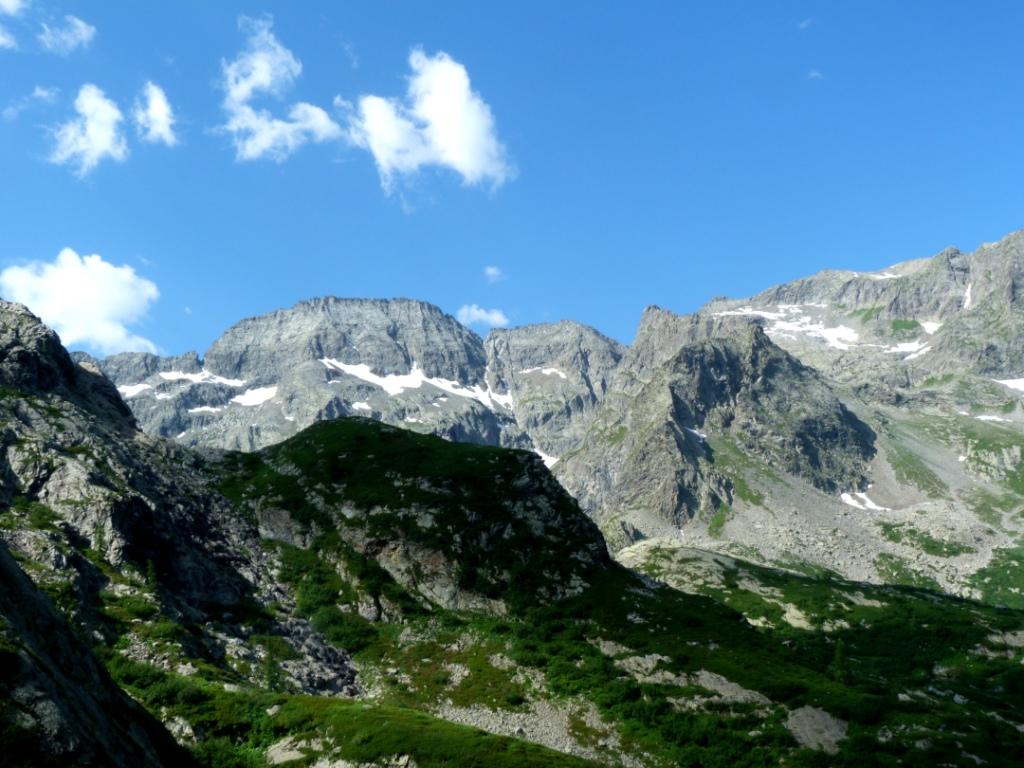
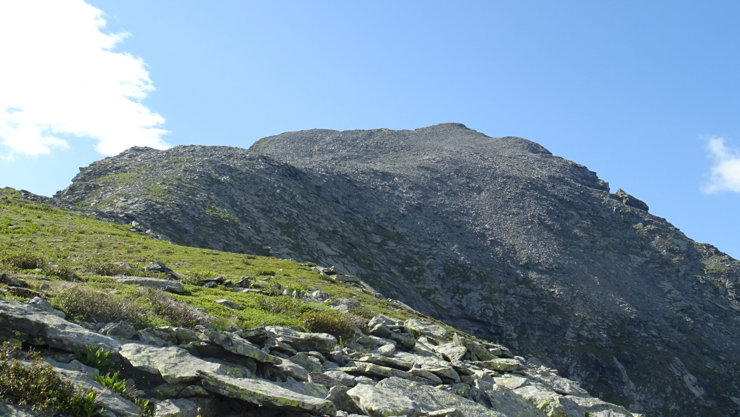
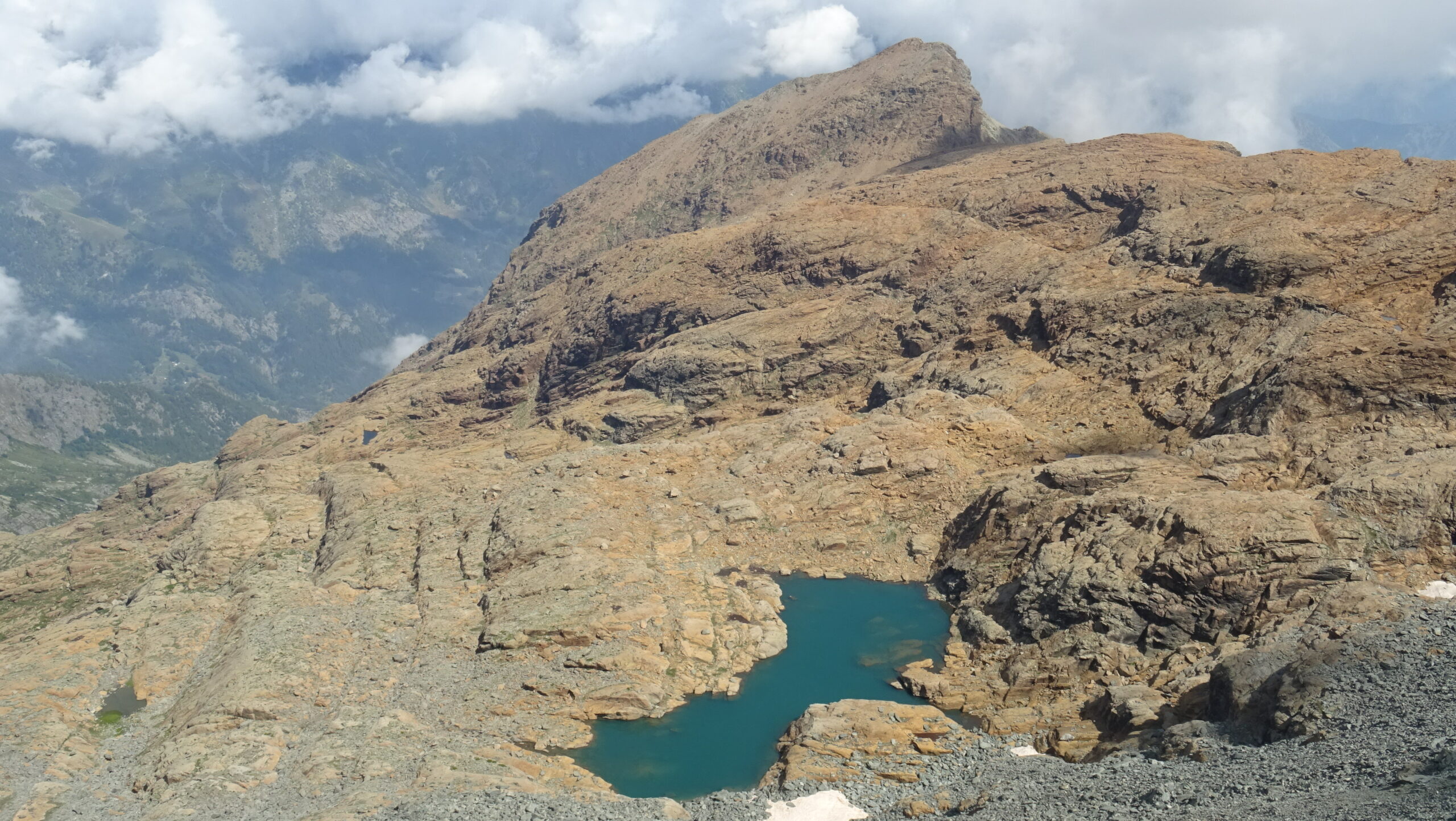
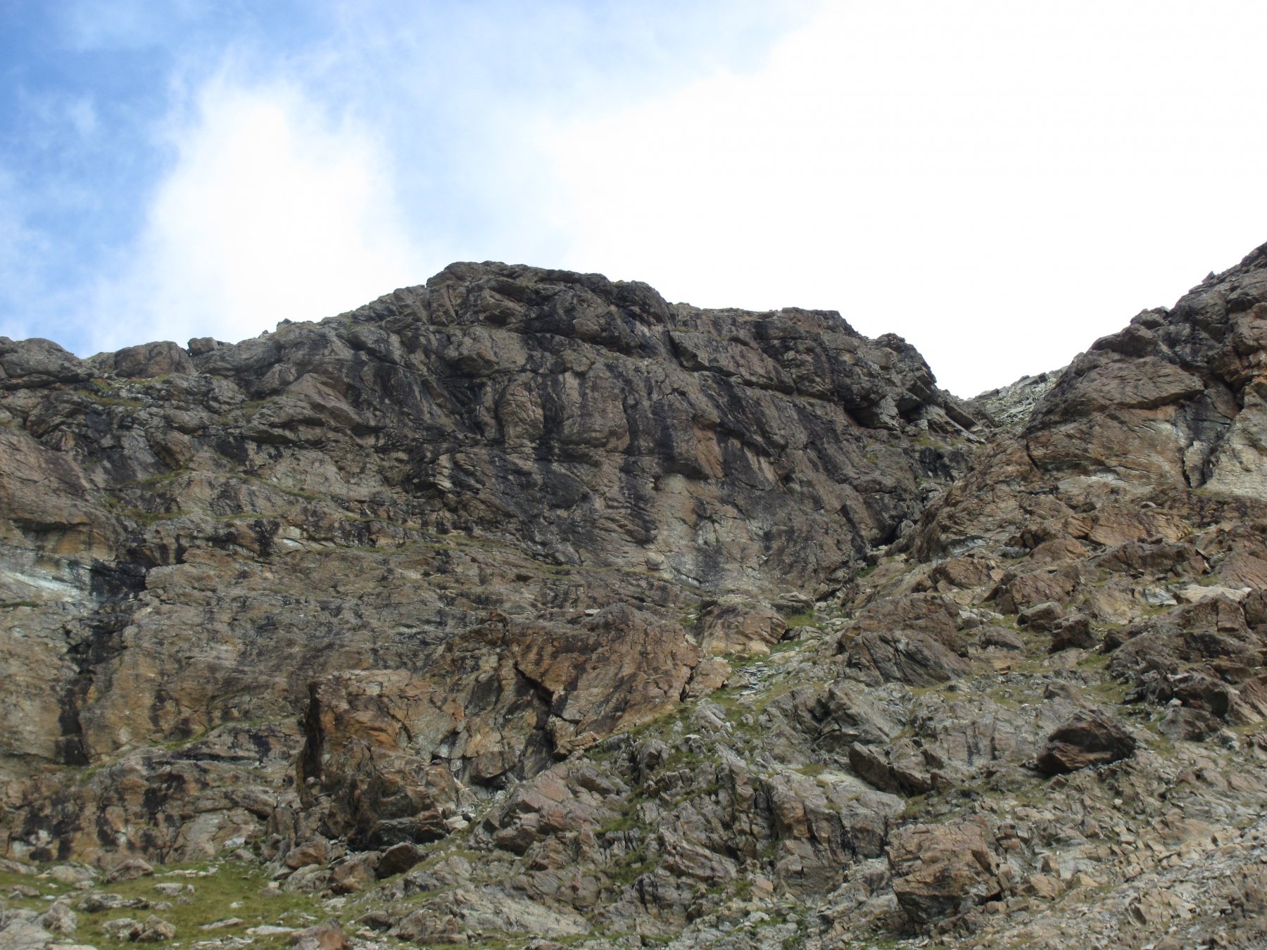
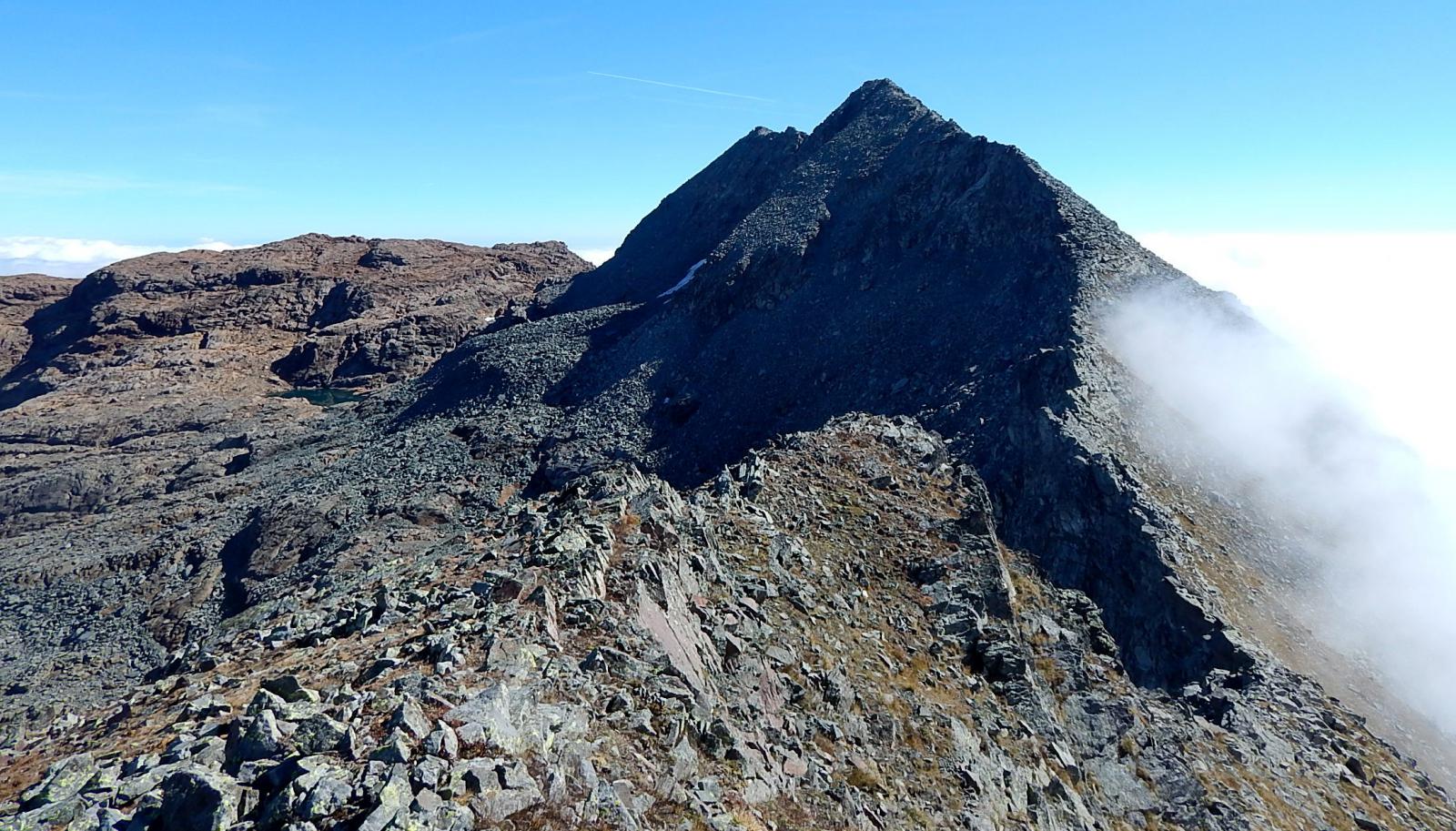
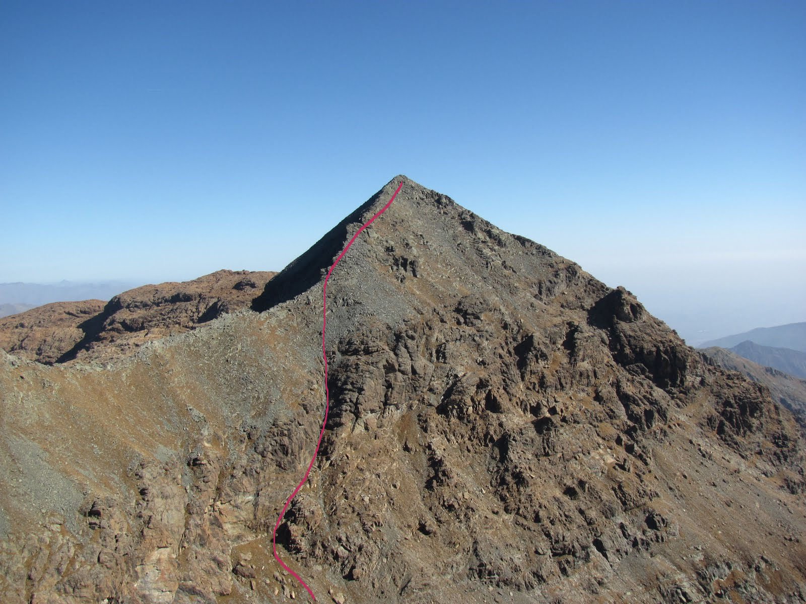
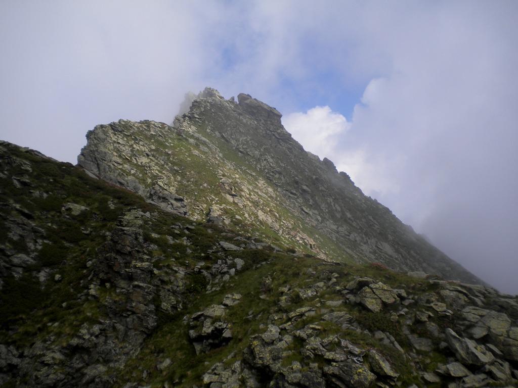
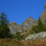
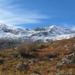
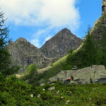
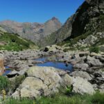
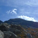
Da Cornetti seguire le indicazioni per il colle Paschiet su sentiero gta. Il sentiero sale dolcemente nel vallone e tocca in successione gli alpeggi di Pian Salé (1580 m.),di Garavela (1744 m.) e di Pian Buet (2006 m.). Nei pressi di quest’ultimo il sentiero si dirama. Tralasciare il sentiero gta che prosegue a destra verso il colle Paschiet e seguire quello di sinistra, poco visibile ma marcato con una serie di ometti e qualche tacca rossa, che ripidamente porta al colle del Vallonetto. Da qui volgendo a destra sulla dorsale si può arrivare, seguendo gli ometti, sulla cima Chiavesso. Invece svalicando nel vallone che sovrasta Mondrone, scendendo per tracce di sentiero perdendo circa 50 metri di dislivello si può successivamente traversare per prati ripidi raggiungendo il fondo del vallone pietroso e risalirlo puntando alla depressione tra il monte Ciorneva e la cima Chiavesso. Raggiunta la cresta la si rimonta verso est con elementari passaggi su roccette fino alla vetta occidentale del Ciorneva (2920 m.). Volendo toccare anche la vetta orientale (2918 m.) continuare sulla cresta perdendo circa 40m. di quota e risalire verso l’ometto di punta (40 min. a/r). Dalla punta occidentale tornare per cresta fino al colletto raggiunto in precedenza (2750 m.) e , invece di ridiscendere nel vallone , continuare per cresta e salire fino alla cima Chiavesso (2824 m.). Da qui scendendo lungo la dorsale in direzione nord (ometti) si ritorna al colle del Vallonetto e da qui si ridiscende ripercorrendo a ritroso la via di salita.
- Cartografia:
- Fraternali 1:25000 n.8 Valli di Lanzo
Nelle vicinanze Mappa
Itinerari
01/07/2025 TO, Balme D+ 1389 m EE Nord-Ovest
Chiavesso (Cima) da Cornetti
 50m
50m
09/07/2016 TO, Balme D+ 970 m EE Sud-Ovest
Losa della Sarda (Passo della) da Cornetti
50m
14/10/2017 TO, Balme D+ 1510 m EE/F Varie
Costapiana (Cima di) da Cornetti
 50m
50m
27/09/2023 TO, Balme D+ 1131 m EE/F Varie
Fauset (Bec del) da Cornetti
 50m
50m
11/10/2009 TO, Balme D+ 1526 m EE Nord
Autour (Cima) da Cornetti
50m
07/06/2026 TO, Balme D+ 1199 m EE Est
Serene (Punta delle) da Cornetti
 50m
50m
17/06/2026 TO, Balme D+ 1050 m EE Varie
Giasset (Punta) da Cornetti, anello per Alpe Colletto, Lago Crot e Sentiero delle Peonie
 50m
50m
07/06/2026 TO, Balme D+ 500 m E Sud-Est
Balme, Sentiero delle Peonie
 50m
50m
30/05/2026 TO, Balme D+ 754 m E Varie
Paschiet (Lago) e Laghi Verdi da Cornetti, anello
 50m
50m
16/09/2025 TO, Balme D+ 1373 m EE Nord-Ovest
Golai (Punta) da Cornetti per i Laghi Verdi e il Passo Paschiet
 50m
50m