3.5Km
3.5Km
Note
Storico
 50m
50m
50m
50m
50m
1.8Km
1.8Km
1.8Km
1.8Km
50m
50m
50m
50m
50m
1.8Km
1.8Km
1.8Km
1.8Km
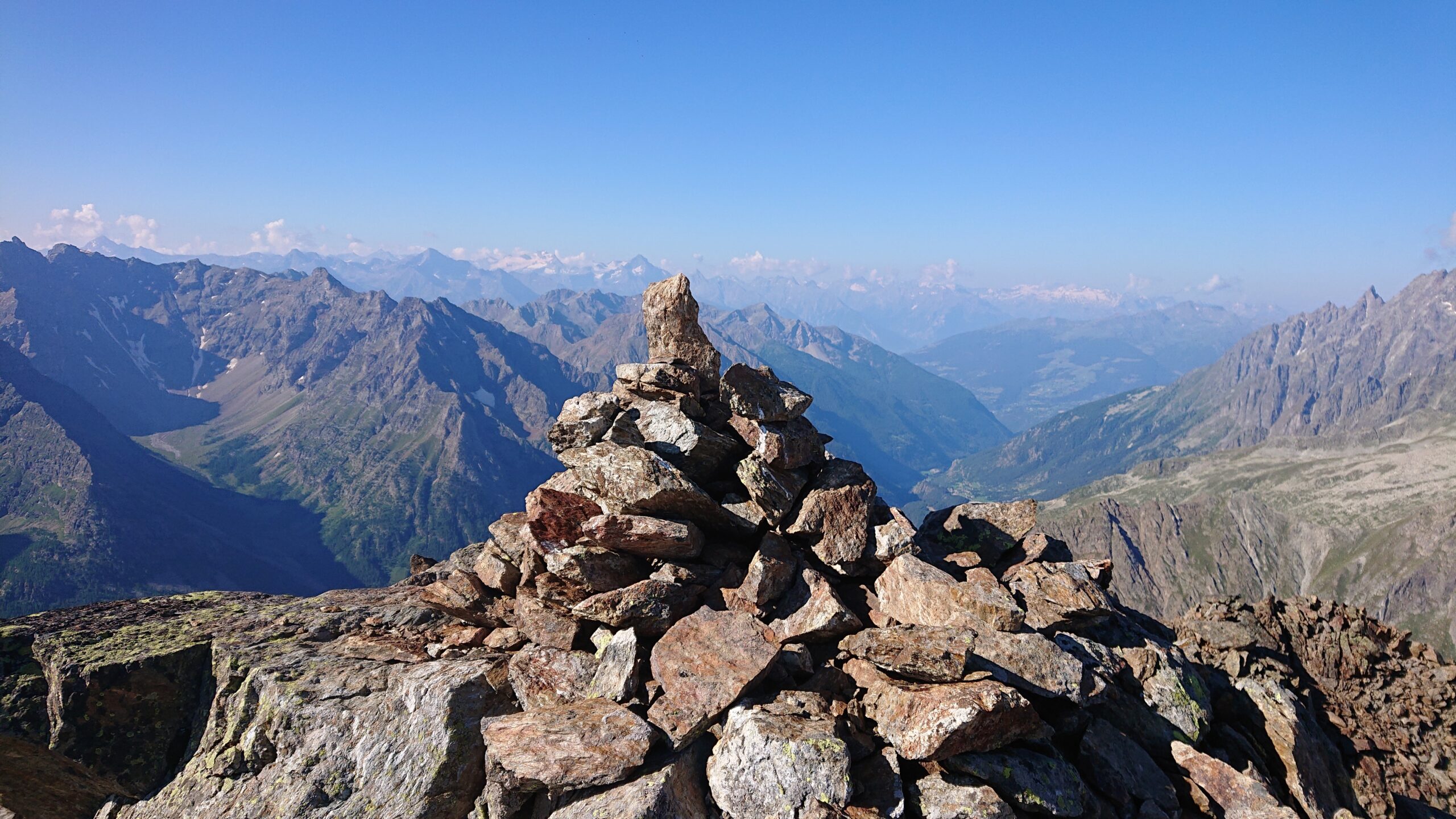
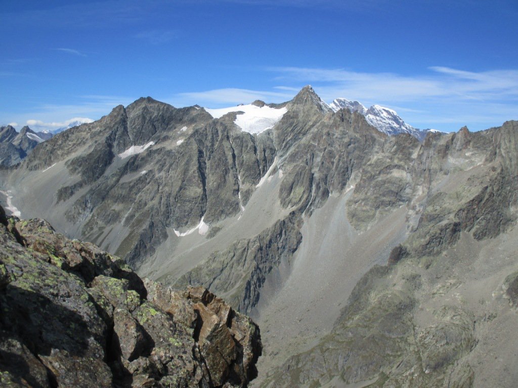
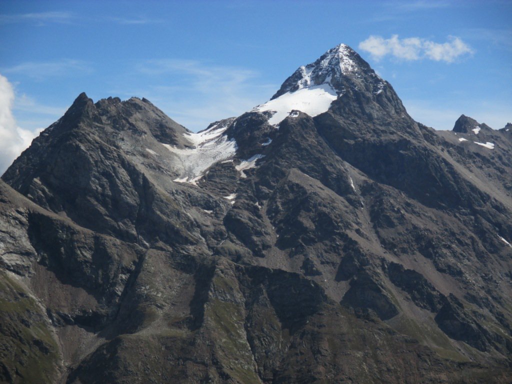
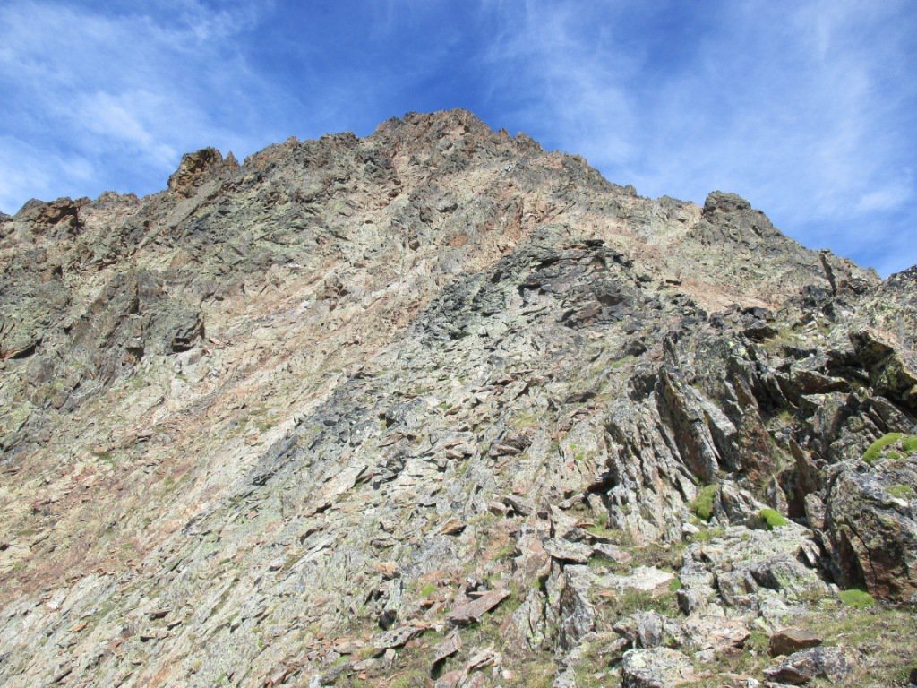
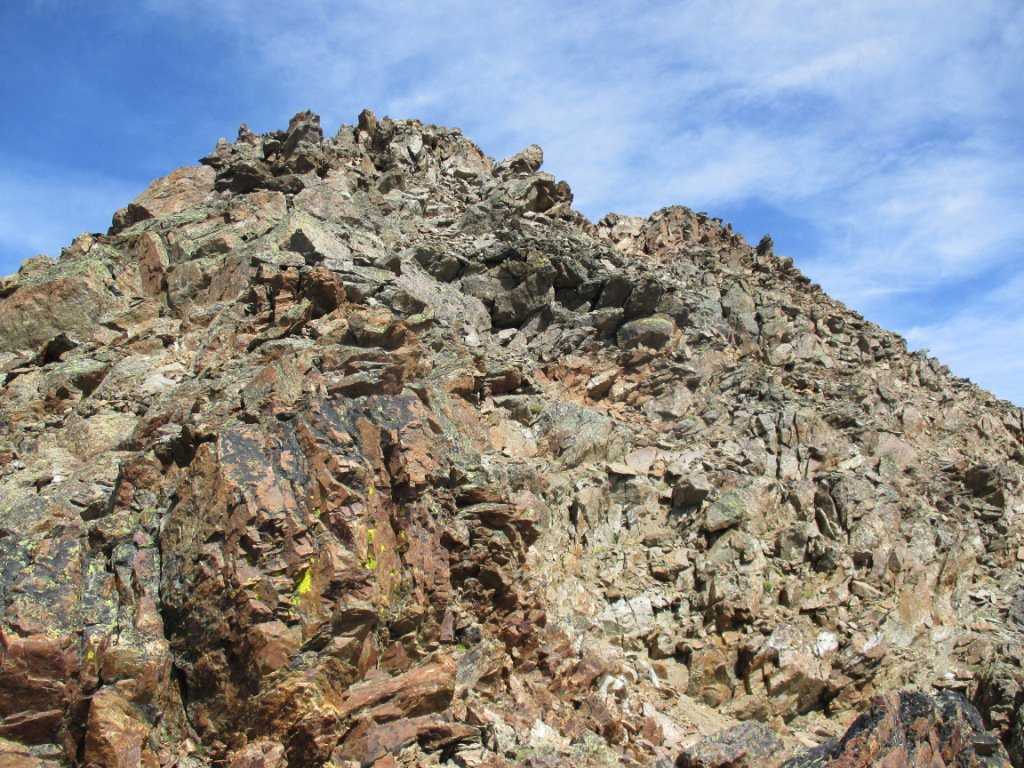
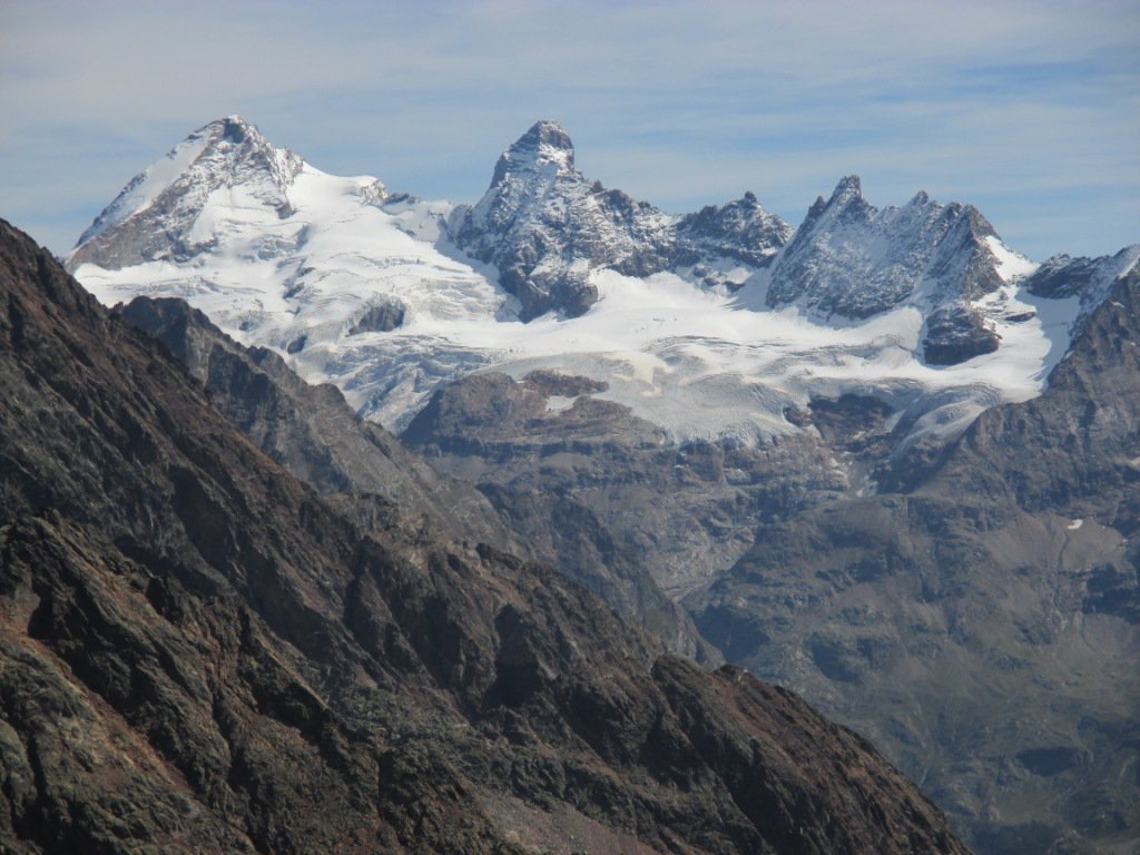
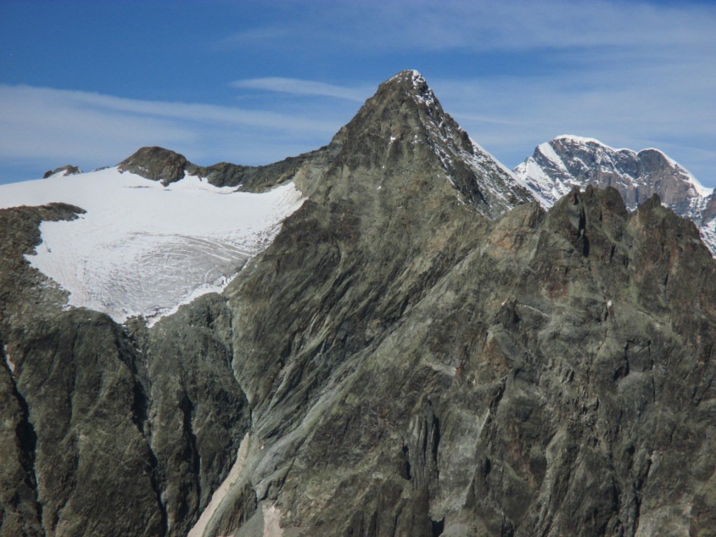
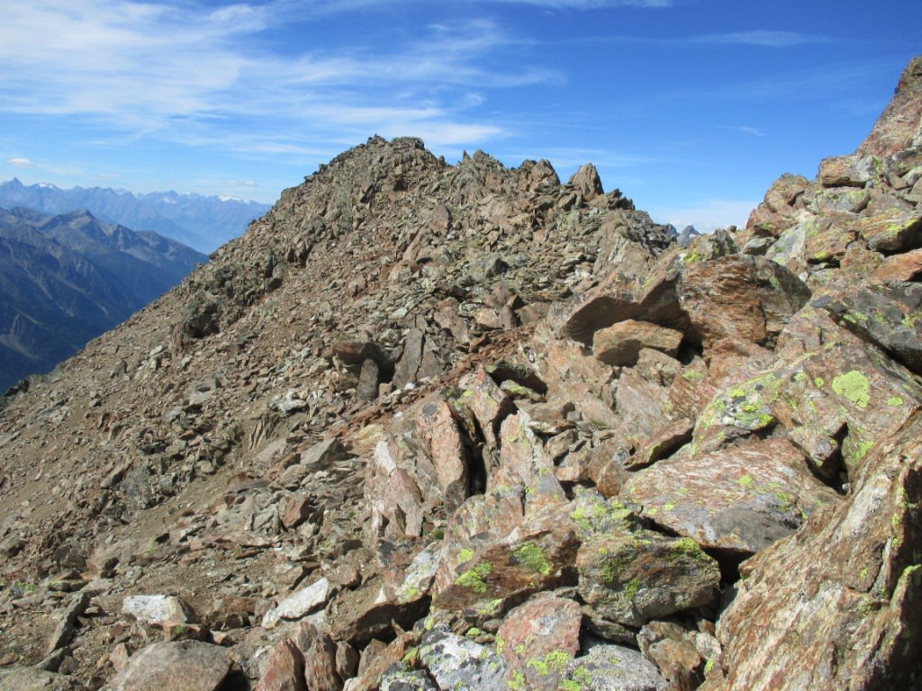
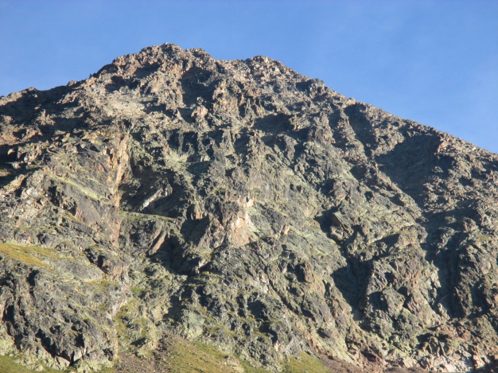
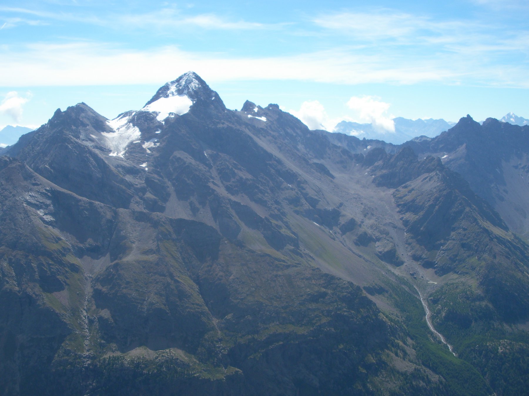
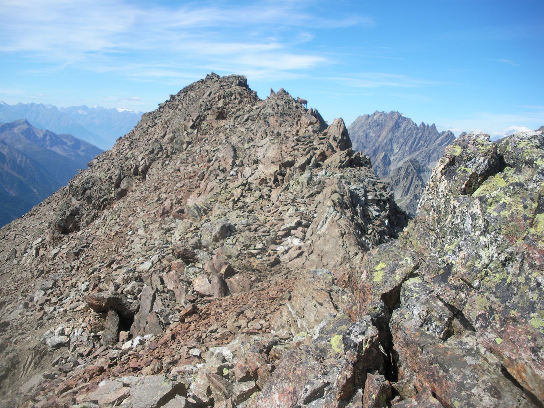
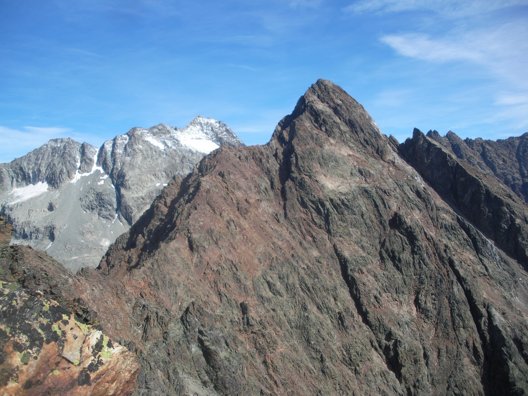
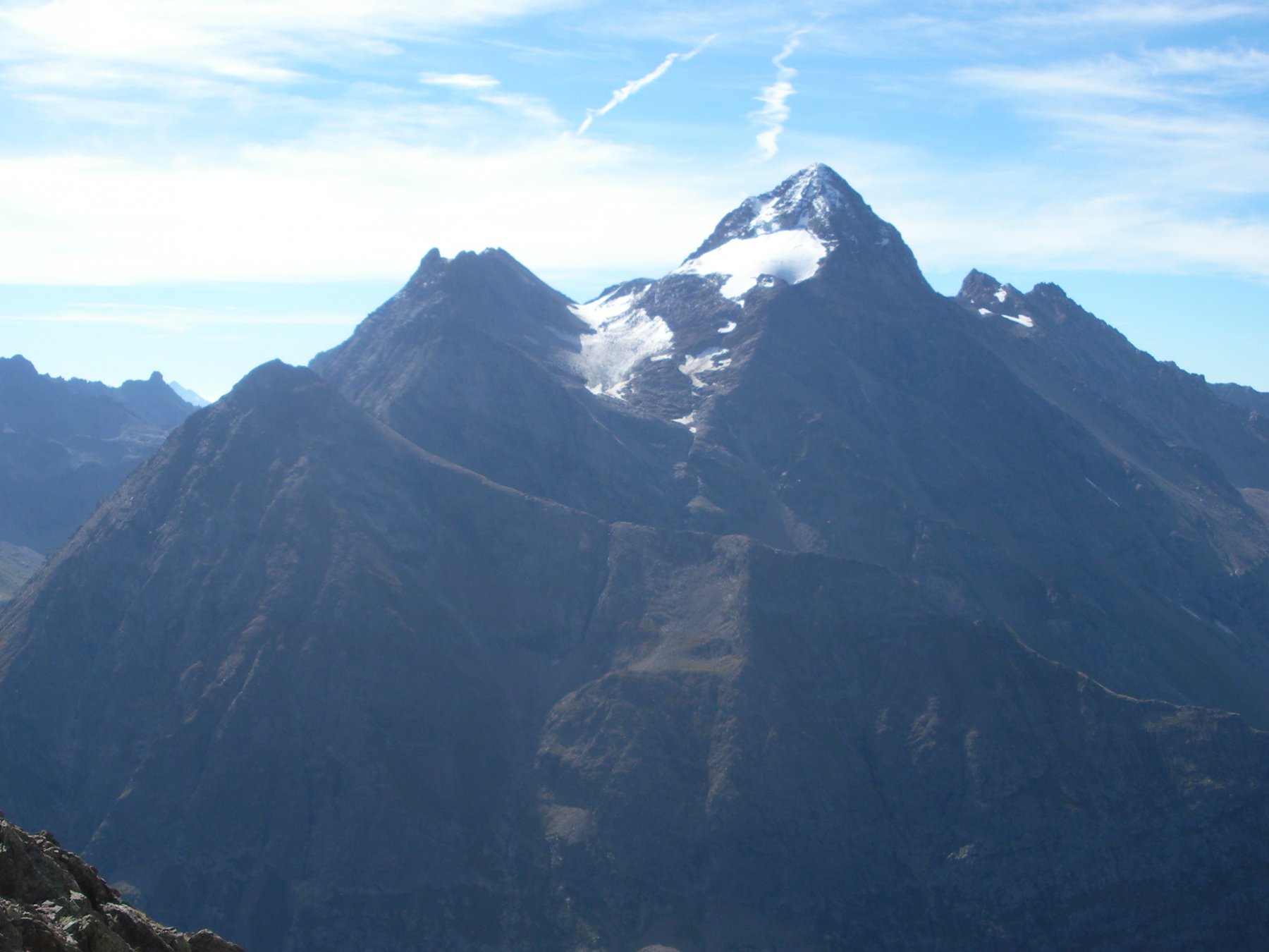
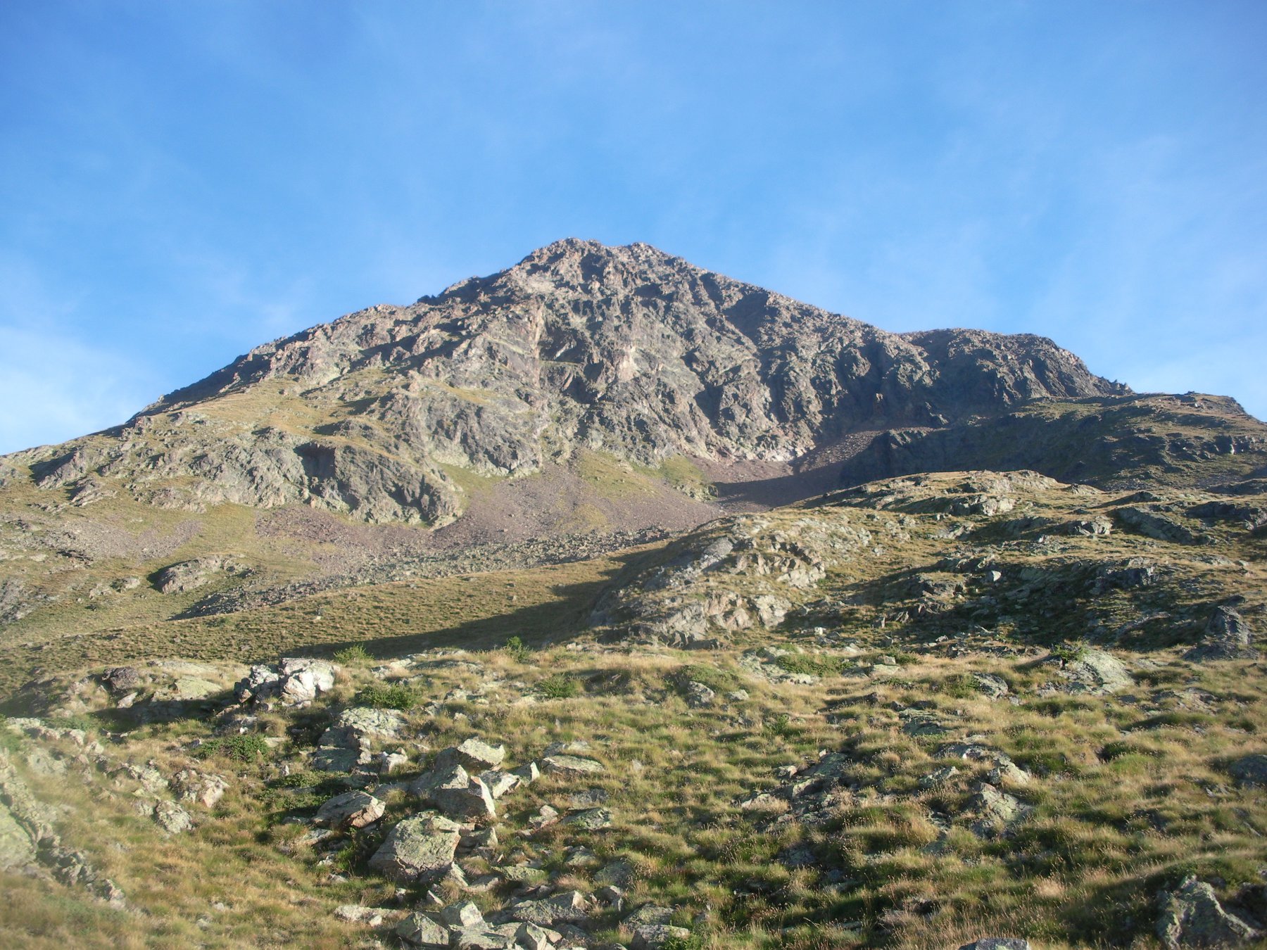
Montagna imponente posta all'estremità' meridionale della cresta sud.ovest della Becca Bovet, dominante gran parte della Valpelline. Per gran parte costituita da rocce disgregate di colore rossastro. Domina da sud la Comba della Sassa Ottimo belvedere su tutti i monti della Valpelline.
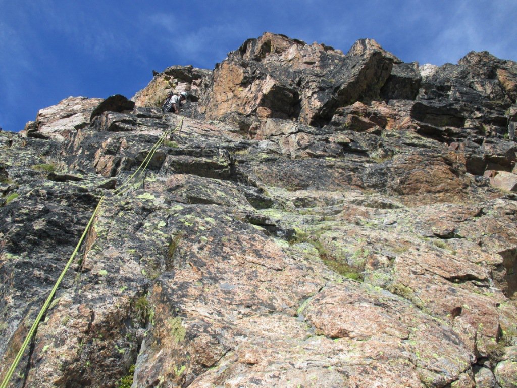
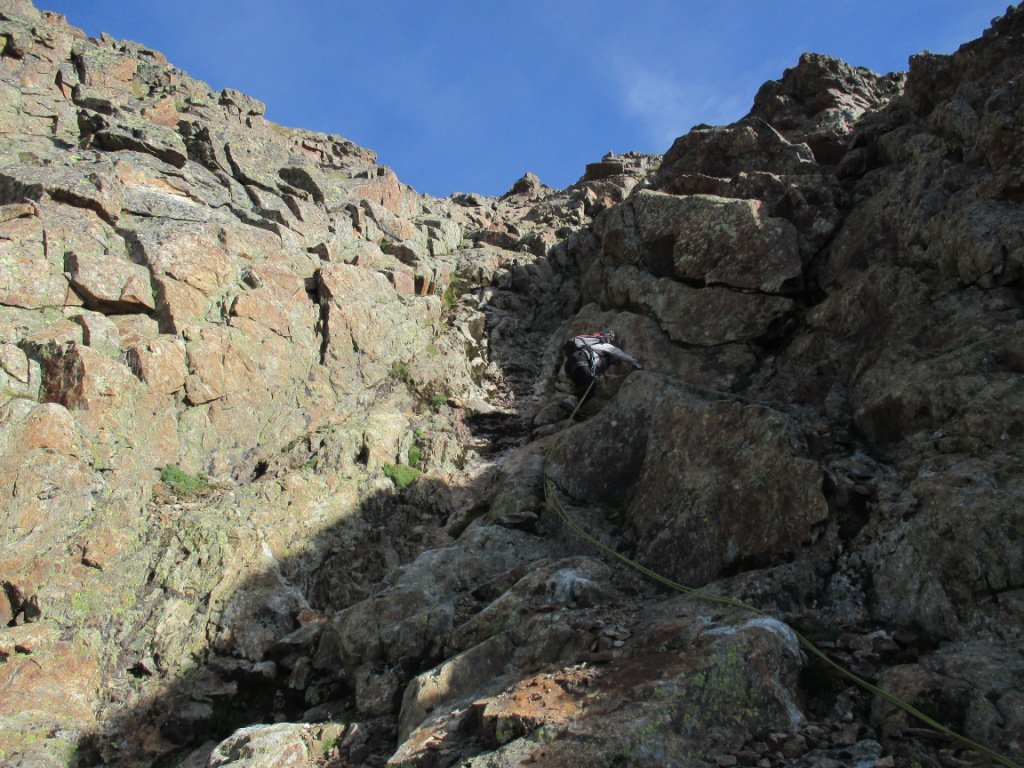
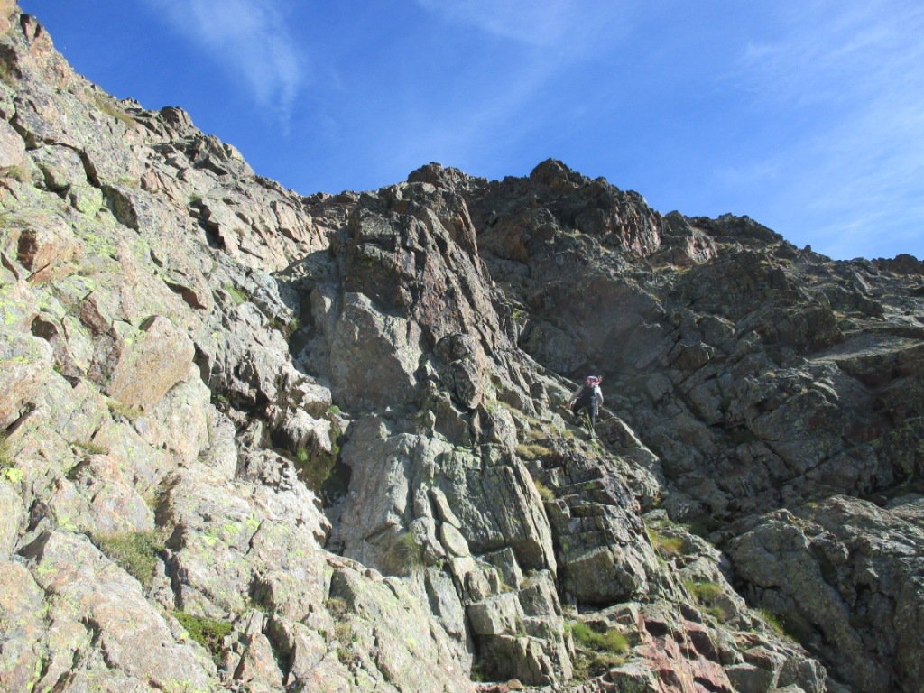
La sua salita per gran parte monotona presenta a tratti divertenti e brevi passi in arrampicata. Nell'insieme una salita gradevole e discretamente impegnativa. Ciò che ne scoraggia l'ascensione è la pessima qualità della roccia.
Avvicinamento
La sua salita per gran parte monotona presenta a tratti divertenti e brevi passi in arrampicata. Nell'insieme una salita gradevole e discretamente impegnativa. Ciò che ne scoraggia l'ascensione è la pessima qualità della roccia.
Da Aosta per il tunnel del Gran San Bernardo al bivio per Valpelline prendere a dx, e risalire la valle fino a 3km ca a monte di Bionaz in località Chamen. Cartelli indicatori l'accesso nella Comba del Grand Chamen presenti a lato della strada all'inizio della poderale che va risalita per intero fino a poco prima l'alpe di Grand Chamen. Ampio spazio per parcheggiare sul lato dx della strada al di qua' dei cartelli.
Descrizione
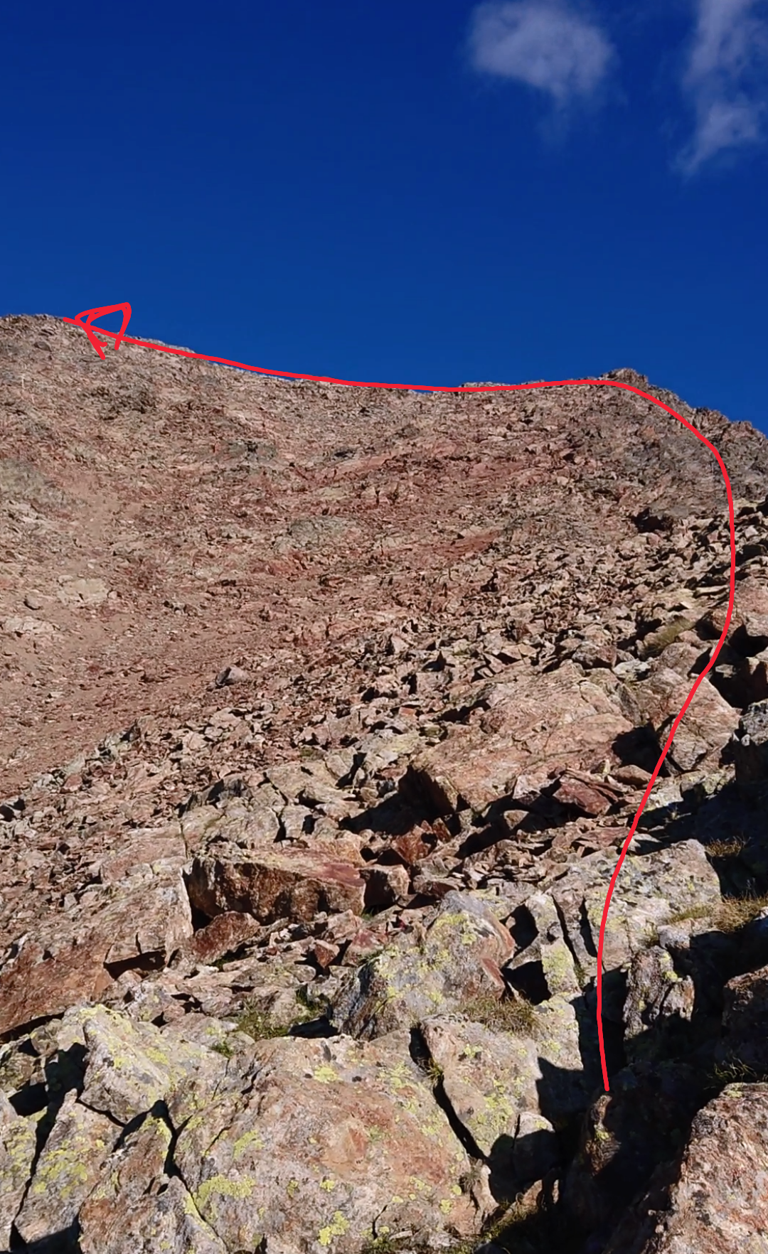
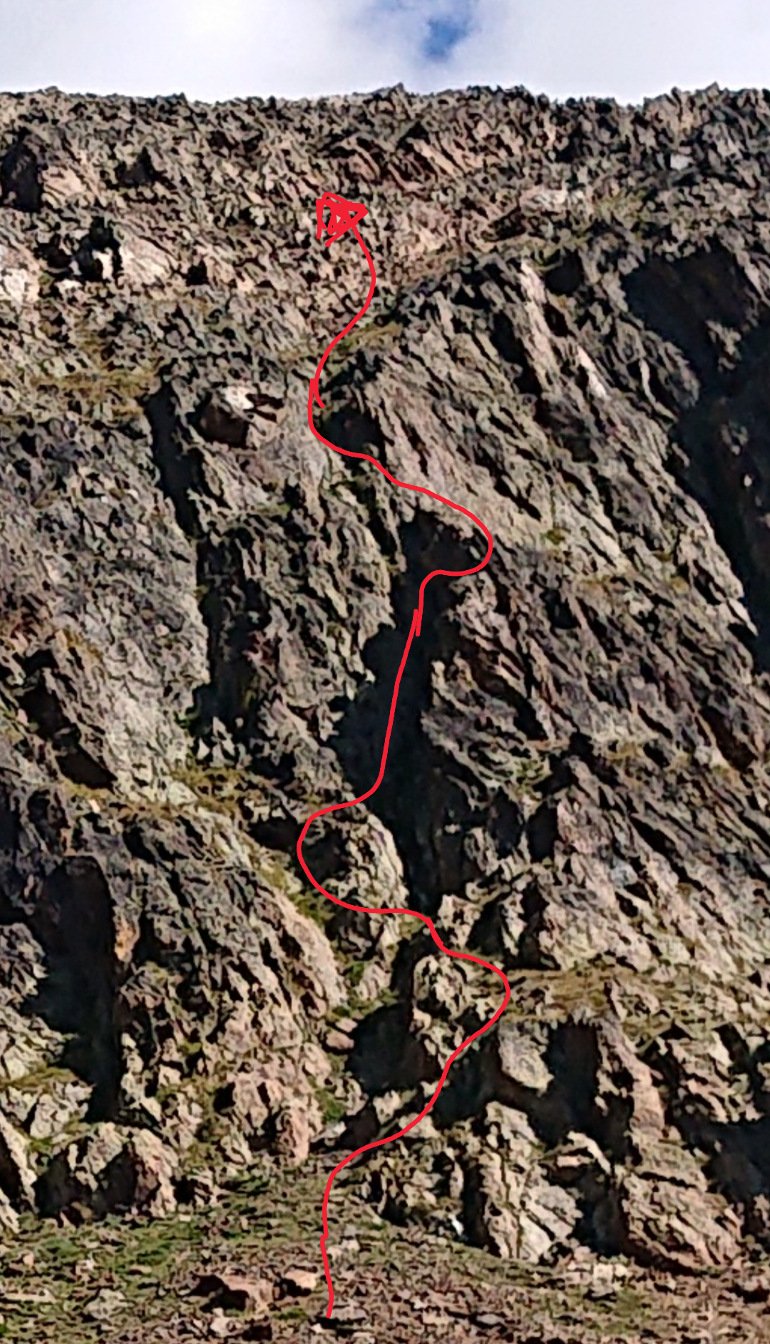
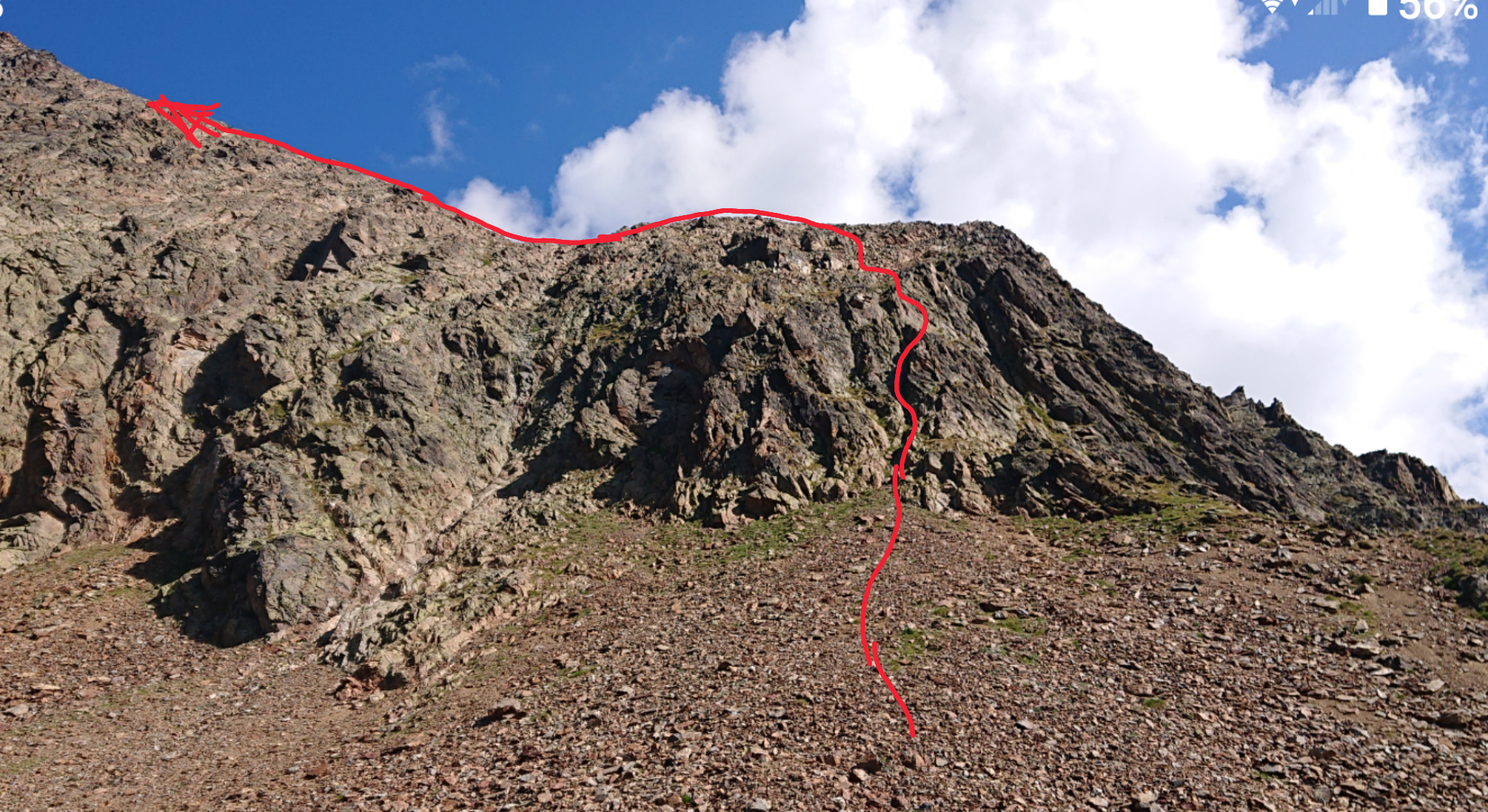
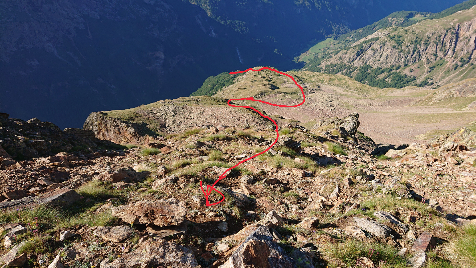
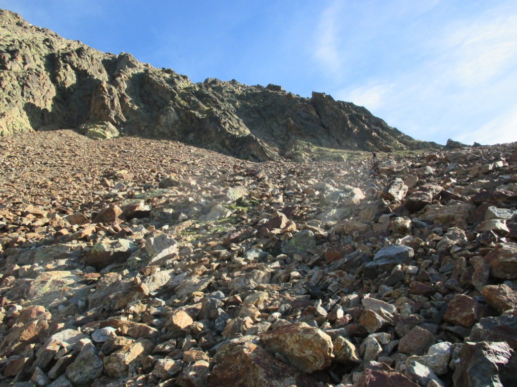
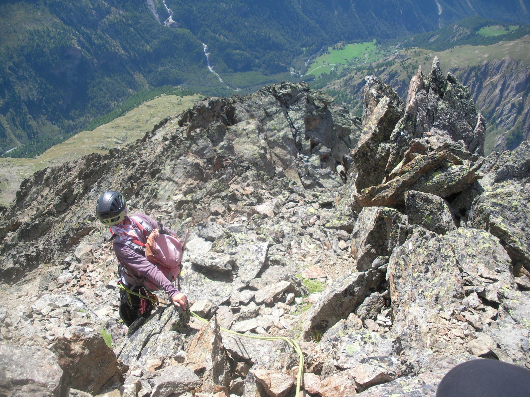
Da Chamen risalire la poderale e seguirla fino poco prima del Grand Chamen (2018 m, dove a dx a un bivio parte un sentiero segnavia n.3 (in giallo) direzione diga di Place Moulin. Seguirlo in lieve discesa. Si giunge a un pulpito costeggiando alla base l’intera bastionata che sorregge i pascoli superiori a sud della nostra meta, fino ad un successivo bivio contraddistinto da ometto con paletto in legno. Si lasca il sentiero che prosegue per la diga sulla dx a favore del sentiero meno evidente all’istante sulla sx. Risalirlo a fatica cercando di non perdere la traccia, fino a giungere a dei ruderi di baite 2211m tra radi larici. Con un piccolo sentiero che va ormai scomparendo, si attraversano in direzione nord.est i vasti pascoli alla base della Becca che mutano poi in colate di detriti. Più sopra oltre una valletta si raggiungono gli altri ruderi dell’alpe Chatelè 2390 m. Portarsi in seguito alla base della cresta sud che muta più sopra in sud-sudest per colate di detriti e rade tracce di sentiero ad una quota di ca 2800m. Quota questa da dove si parte ad attaccare la cresta, e che si segue per un dislivello all’incirca di 400 m, per detriti e roccette fino in vetta ( ore 4-5 da Chamen). Discesa per stessa via, oppure in traversata per la cresta sud sud ovest lungo speroni e canalini con difficoltà decrescenti man mano che si guadagna cammin facendo in discesa la base della parete a forma di triangolo isoscele all’altezza dei pascoli, che vanno riattraversati verso sx fino a riprendere il sentierino dell’andata e chiudere cosi’ il periplo alto attorno alla montagna da sud. Il tempo a scendere questa variante di cresta , e’ pressochè analogo a quello necessario per ridiscendere dalla cresta medesima di salita.
La prima ascensione alpinistica e' quasi certamente quella di F.Antoniotti, l'abate Pantaleone Bovet,Ettore Canzio, Felice Mondini G.A. Randone con le guide A.Barallier e Napoleone Petitjacques il 7 genn.1899, per il versante sud e la cresta sud-sud.est. Effettuando cosi' anche la prima salita invernale, con concezione molto ardita per quell'epoca.
- Cartografia:
- IGC scala 1:30.000 La Valpelline
- Bibliografia:
- Guida dei Monti d'Italia Alpi Pennine Vol.II
Nelle vicinanze Mappa
Itinerari
29/08/2021 AO, Bionaz D+ 1970 m PD Varie
Blanchen (Gran Becca) da Chamen per il vallone della Sassa
 50m
50m
05/05/2016 AO, Bionaz D+ 2100 m AD- Varie
Blanchen (Gran Becca) traversata per Punta Boetta e Petit Blanchen
 50m
50m
30/08/2017 AO, Bionaz D+ 2100 m AD Tutte
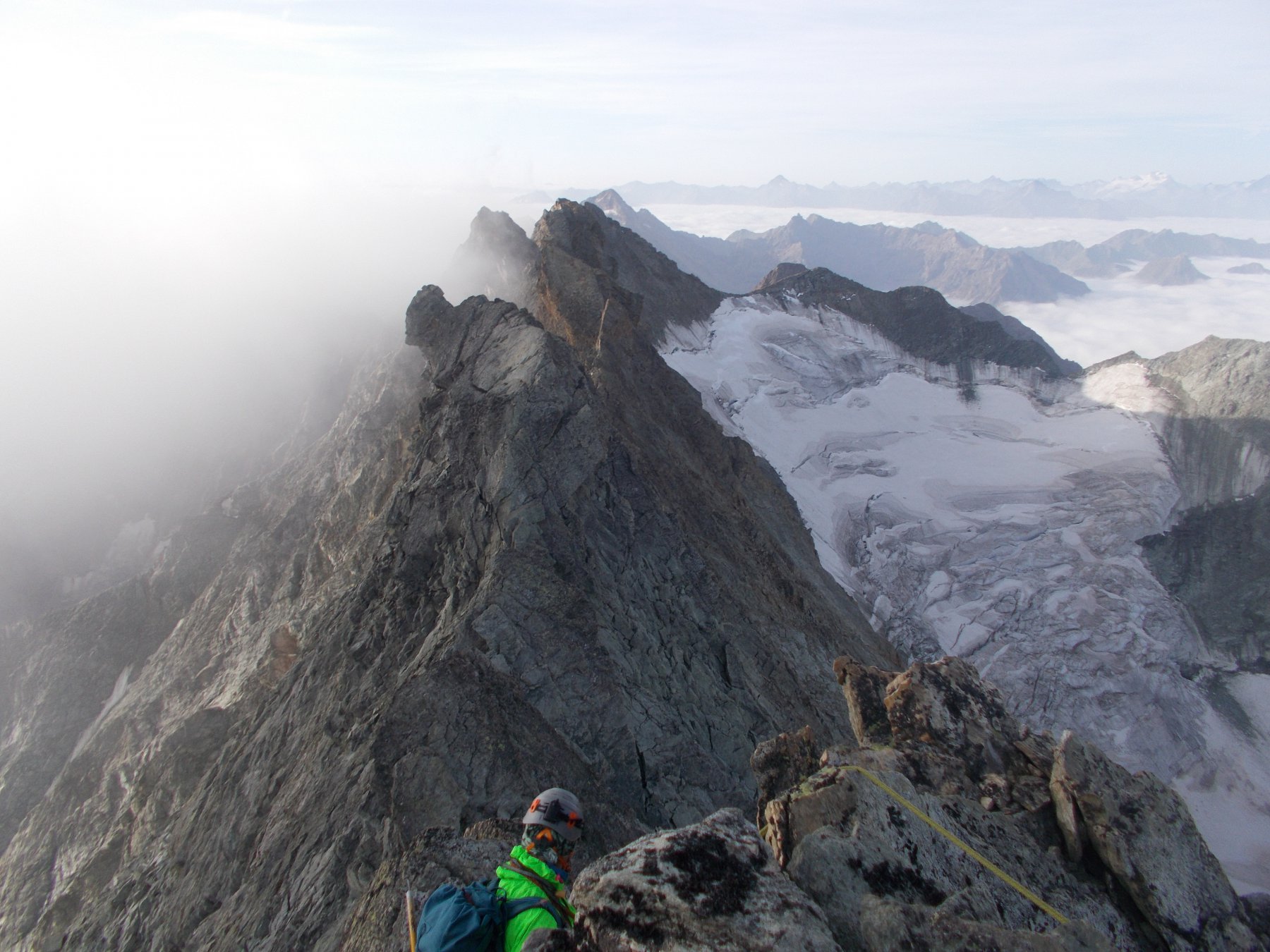
Sengla (la) traversata integrale Nord-Sud
 50m
50m
03/08/2019 AO, Bionaz D+ 1830 m PD Varie
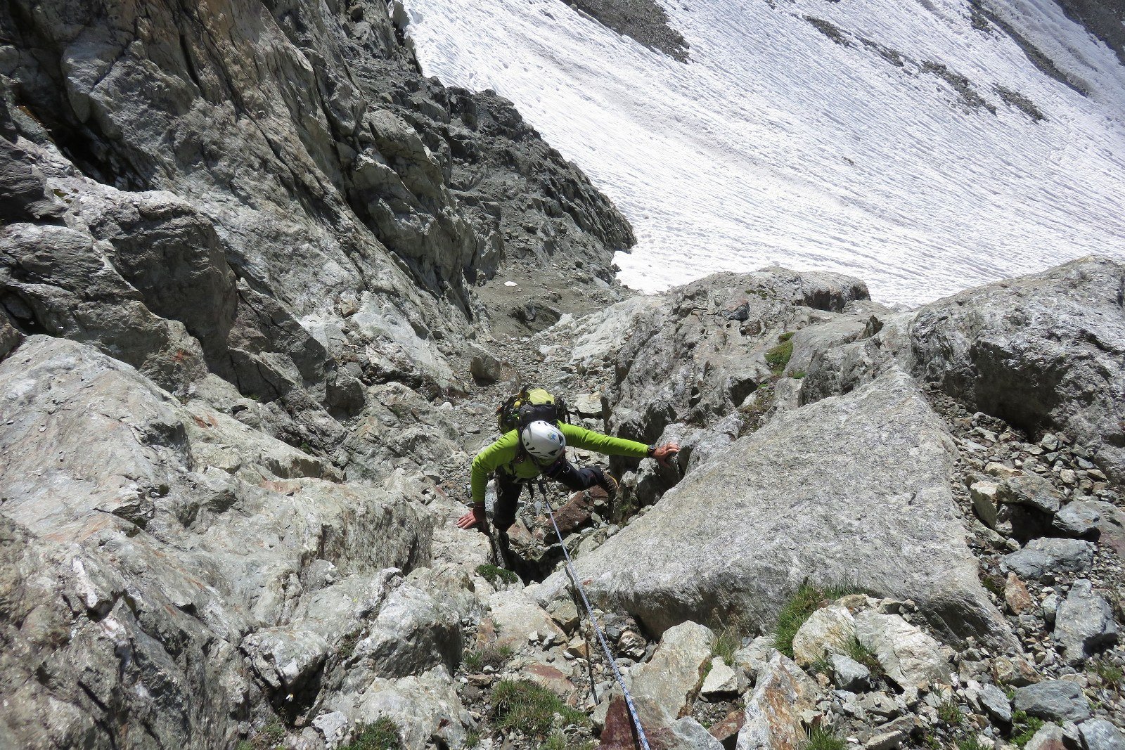
Tseucca (Aouille) Via Normale da Chamen
 50m
50m
15/04/2015 AO, Bionaz D+ 1752 m PD Sud
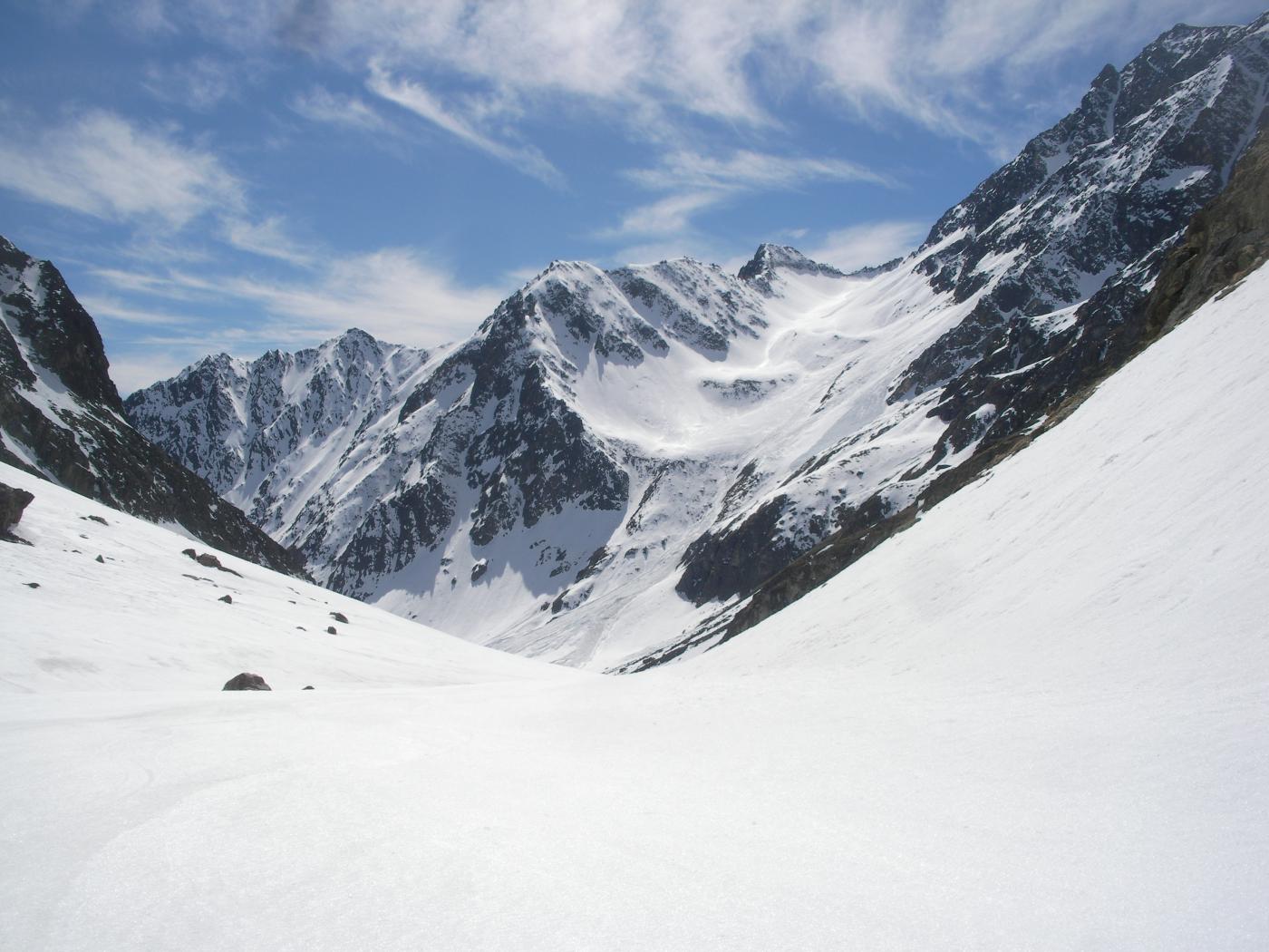
Labie (Becca) da Chamen per il Col d’Otemma e la cresta O
 50m
50m
15/07/2018 AO, Bionaz D+ 2050 m AD- Varie
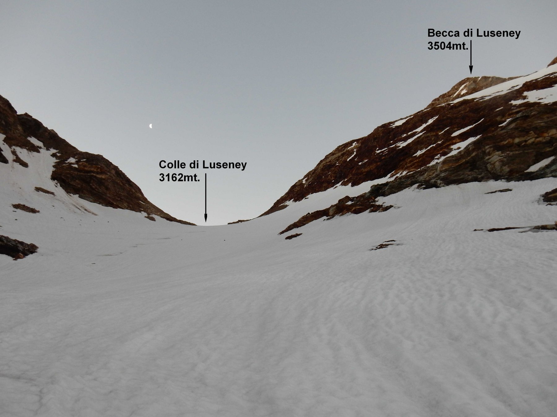
Luseney (Becca di) Parete NE dal Bivacco Chentre Bionaz
 1.8Km
1.8Km
26/08/2015 AO, Bionaz D+ 1650 m PD Ovest
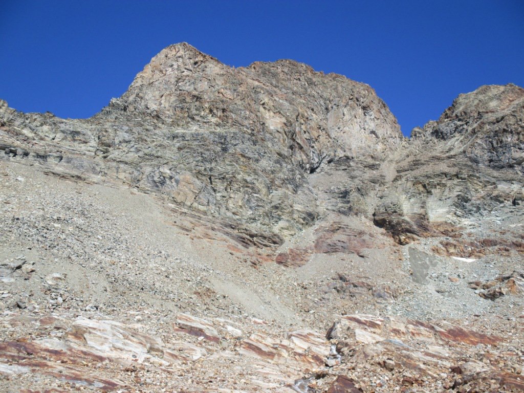
Pra de Dieu (Dome de) versante Ovest alla Breche de Pra de Dieu e Cresta Sud
 1.8Km
1.8Km
01/11/2017 AO, Bionaz D+ 1600 m AD- Tutte
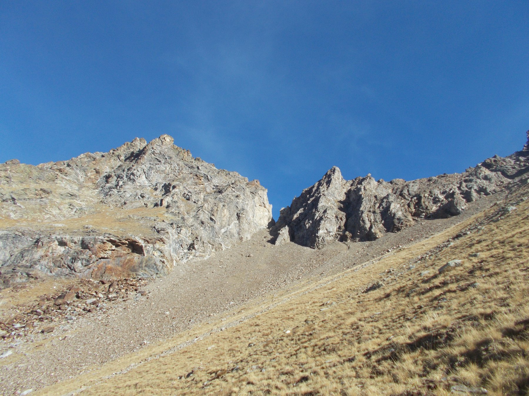
Gendarmes des Rayes Planes, Becca Bovard, Pointe de l’Artse Traversata SE-NO
 1.8Km
1.8Km
05/08/2017 AO, Bionaz D+ 1700 m F Varie
Livournea (Cima di) da La Ferrera
1.8Km
03/10/2012 AO, Bionaz D+ 2100 m PD+ Nord
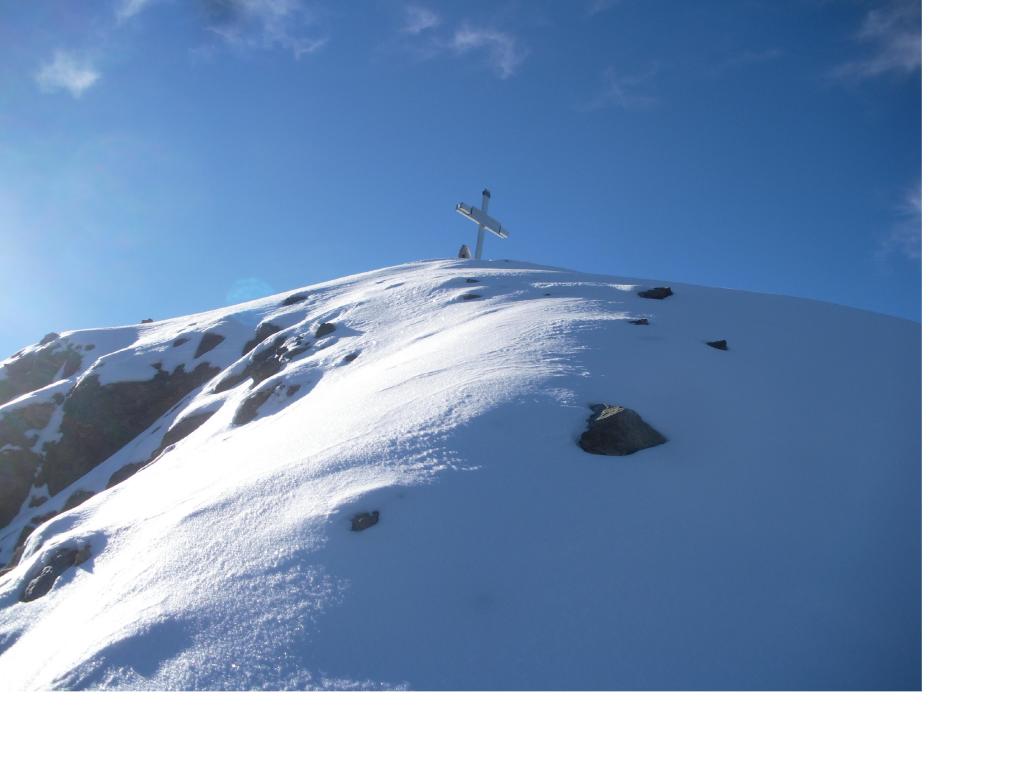
Luseney (Becca di) – Becca d’Arbiere traversata Nord-Sud da La Ferrera
 1.8Km
1.8Km