2.1Km
2.1Km


Note
 50m
1.9Km
1.9Km
1.9Km
1.9Km
1.9Km
1.9Km
50m
1.9Km
1.9Km
1.9Km
1.9Km
1.9Km
1.9Km
2.1Km
3.5Km
3.5Km
4Km
6.3Km
6.8Km
7.7Km
8.5Km
8.8Km
9.3Km
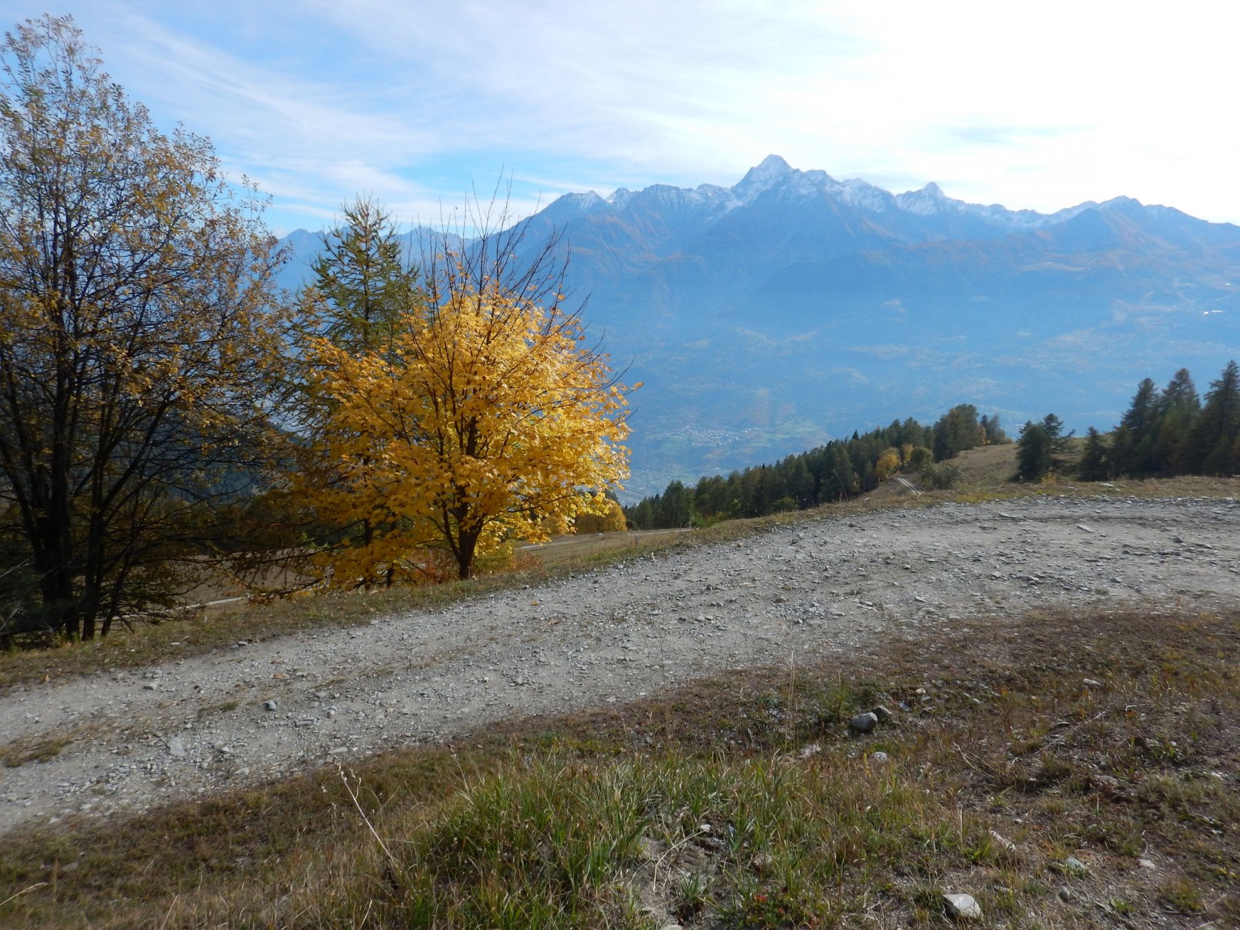
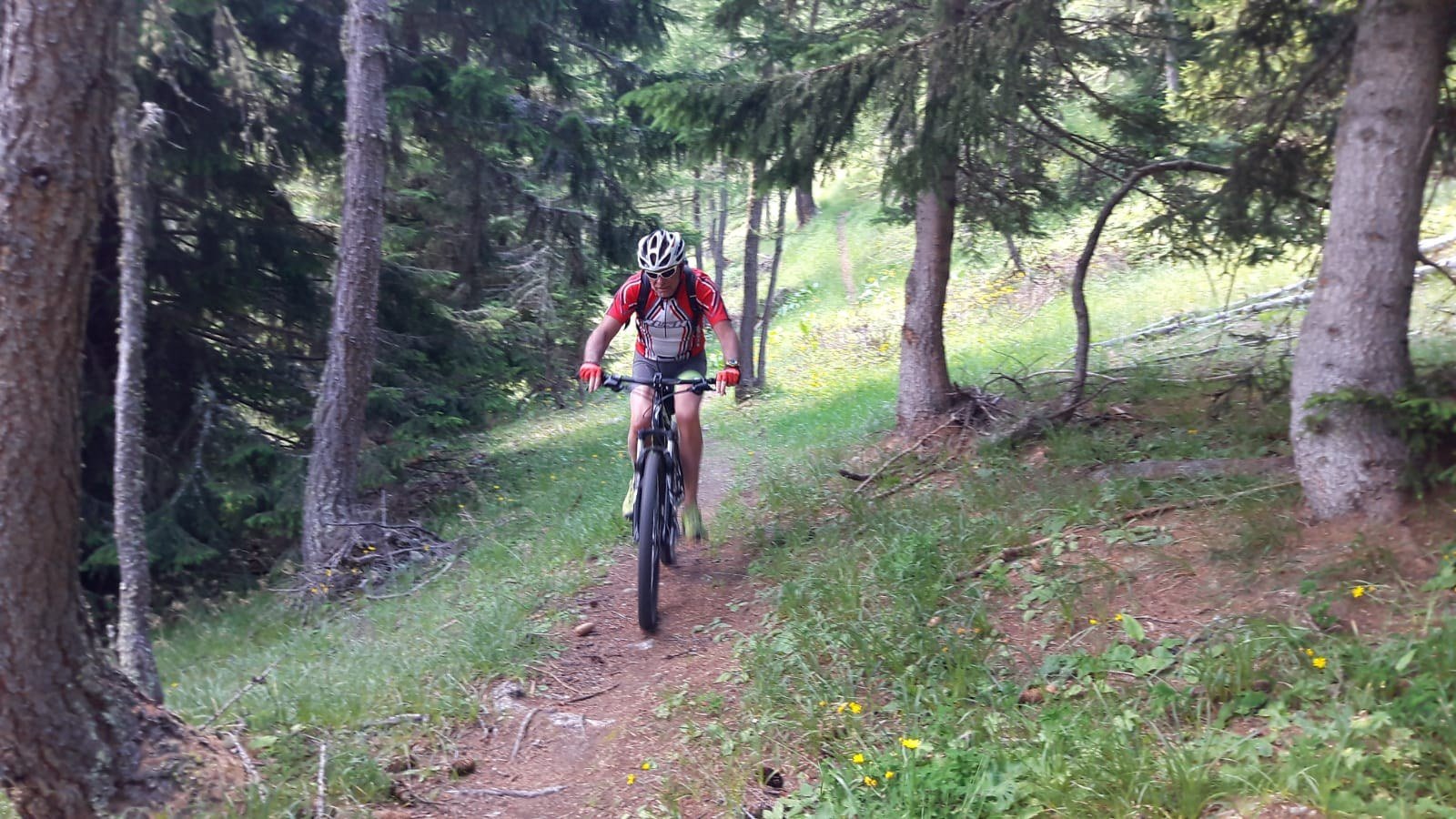
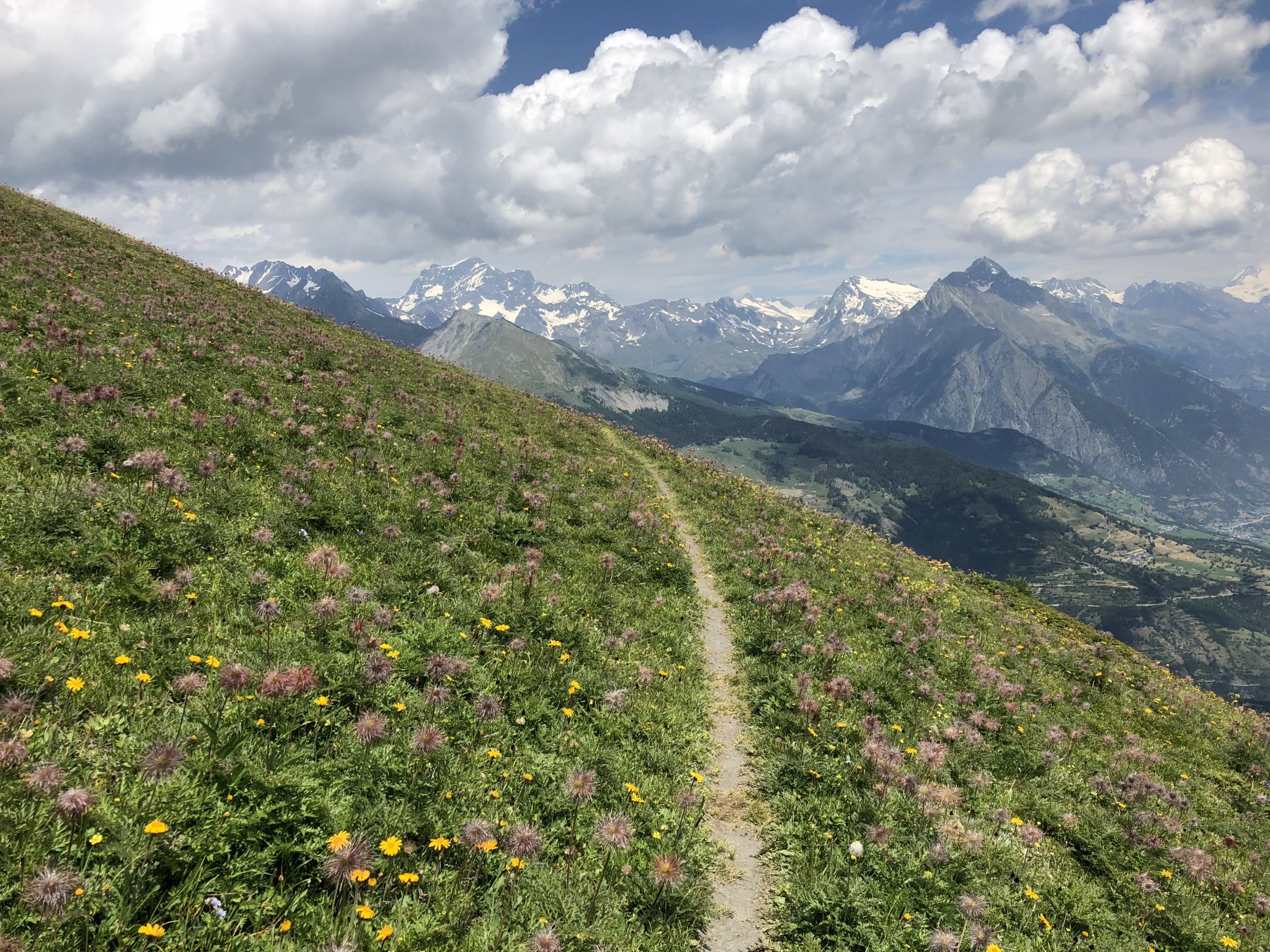
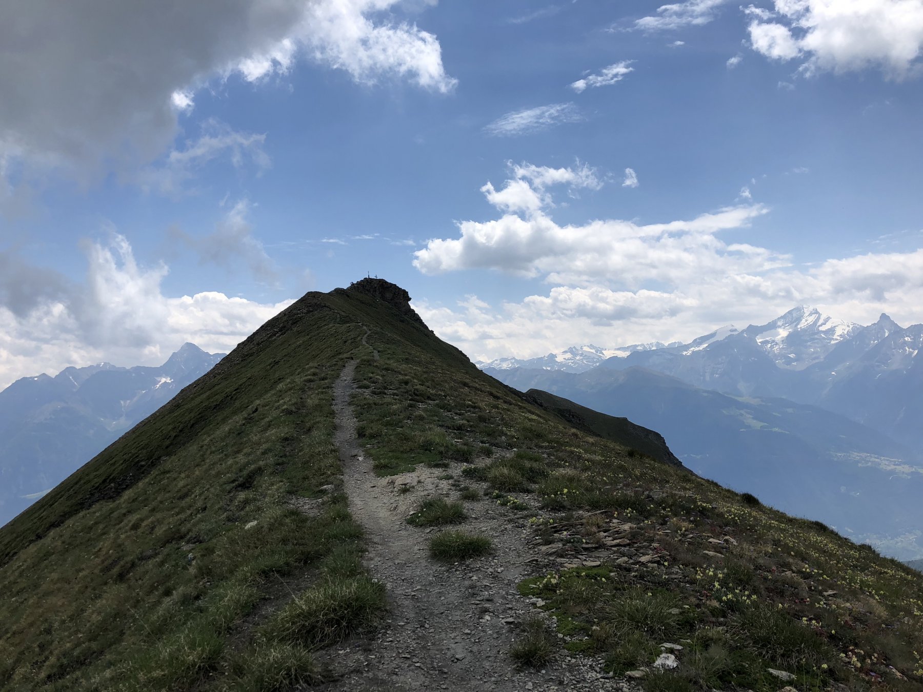
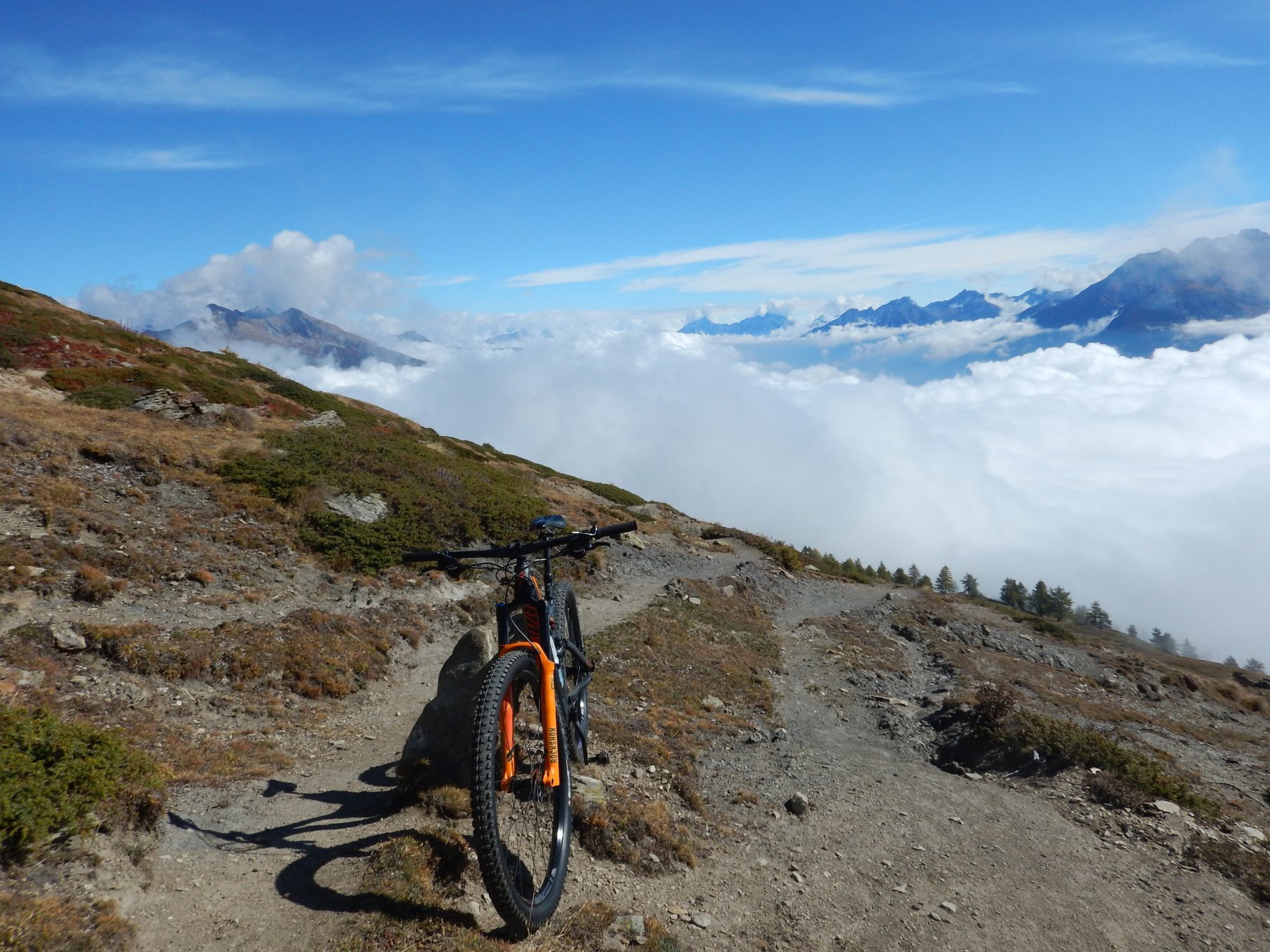
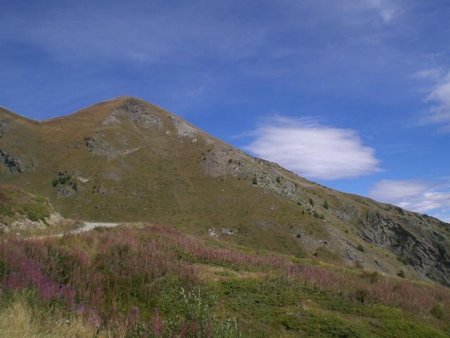
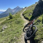
Salita agevole ma occhio al dislivello, discesa interamente per sentiero, appagante ma impegnativa.
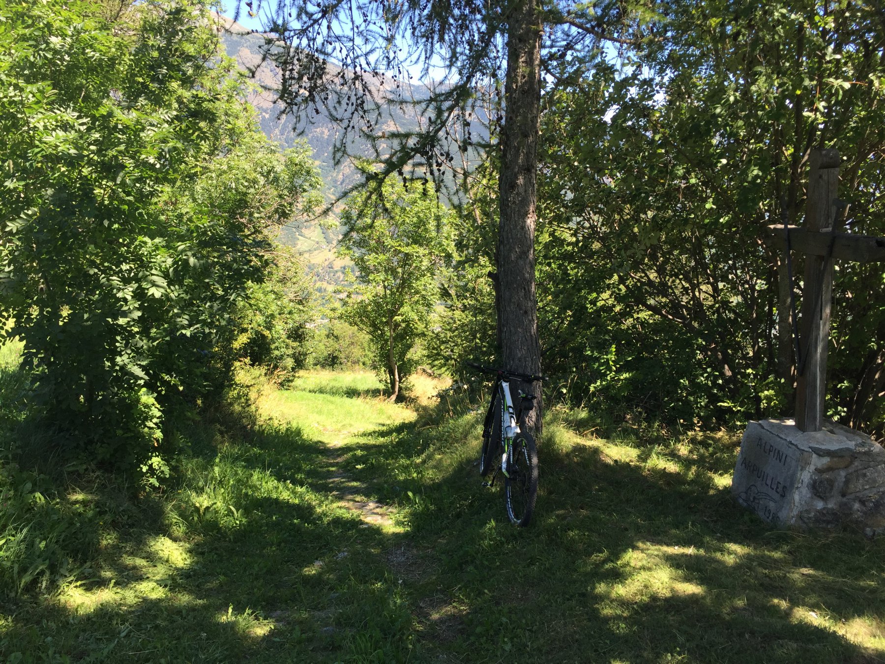
Avvicinamento
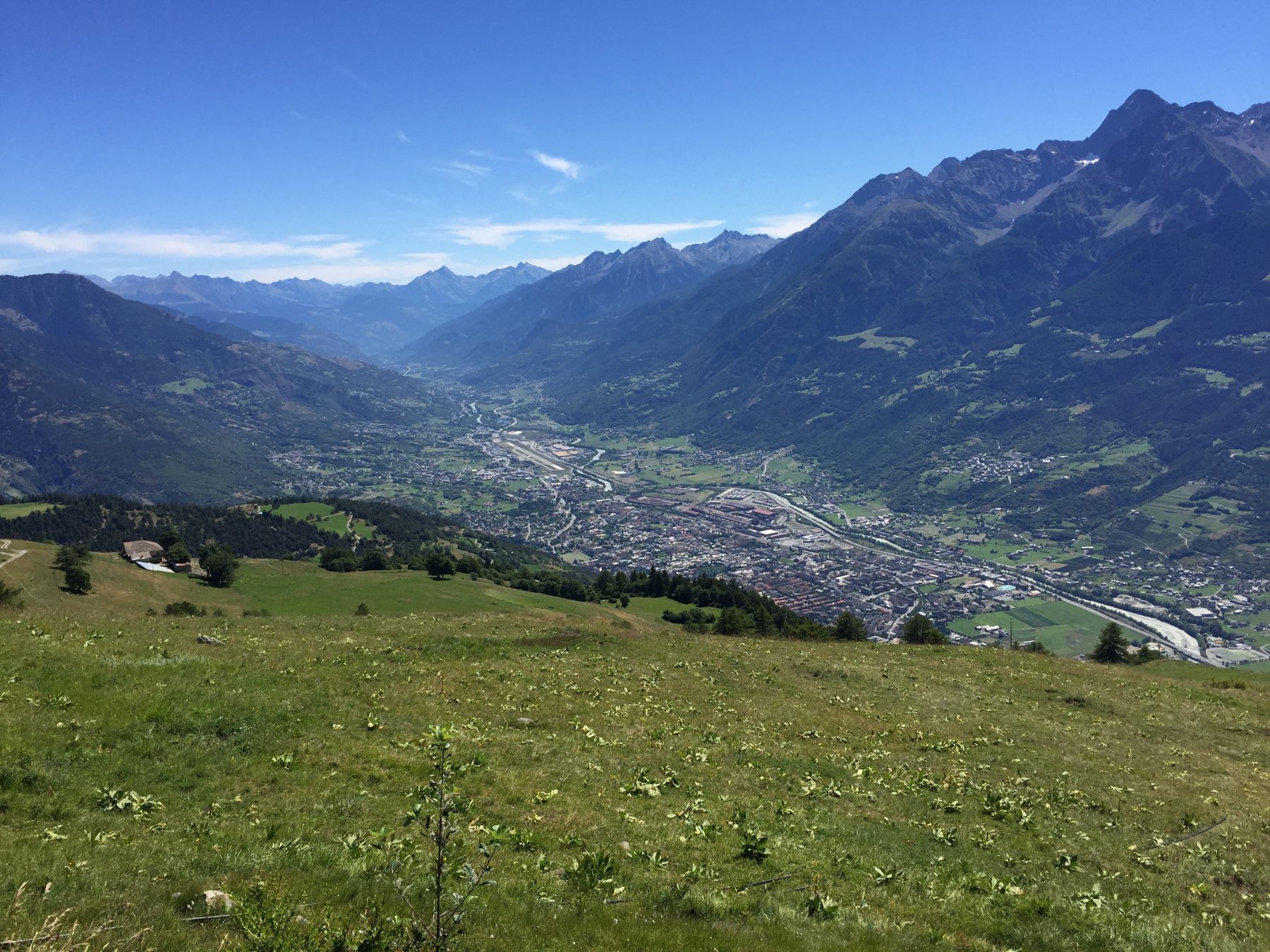
Da Aosta per la strada del Grande, alla prima rotonda a sx per Arpuilles, posteggio nella piazzetta della chiesa o allo spiazzo successivo per la strada dei Salassi.
Descrizione
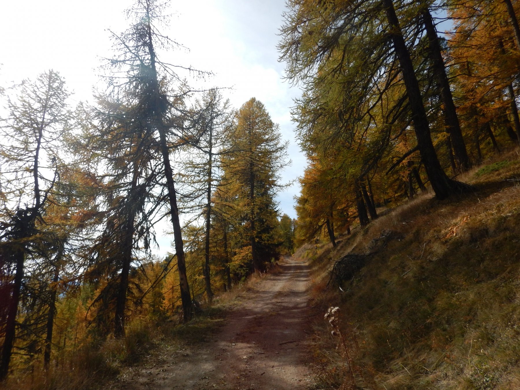
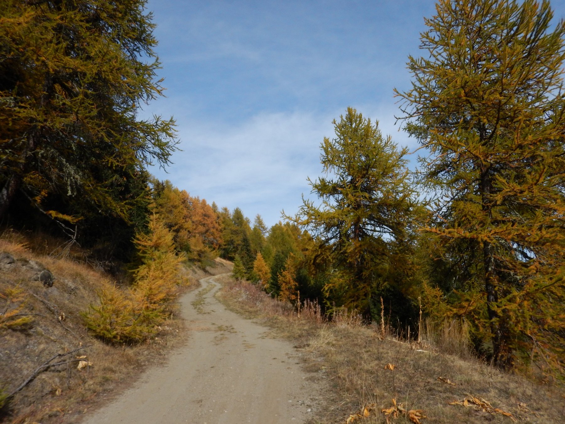
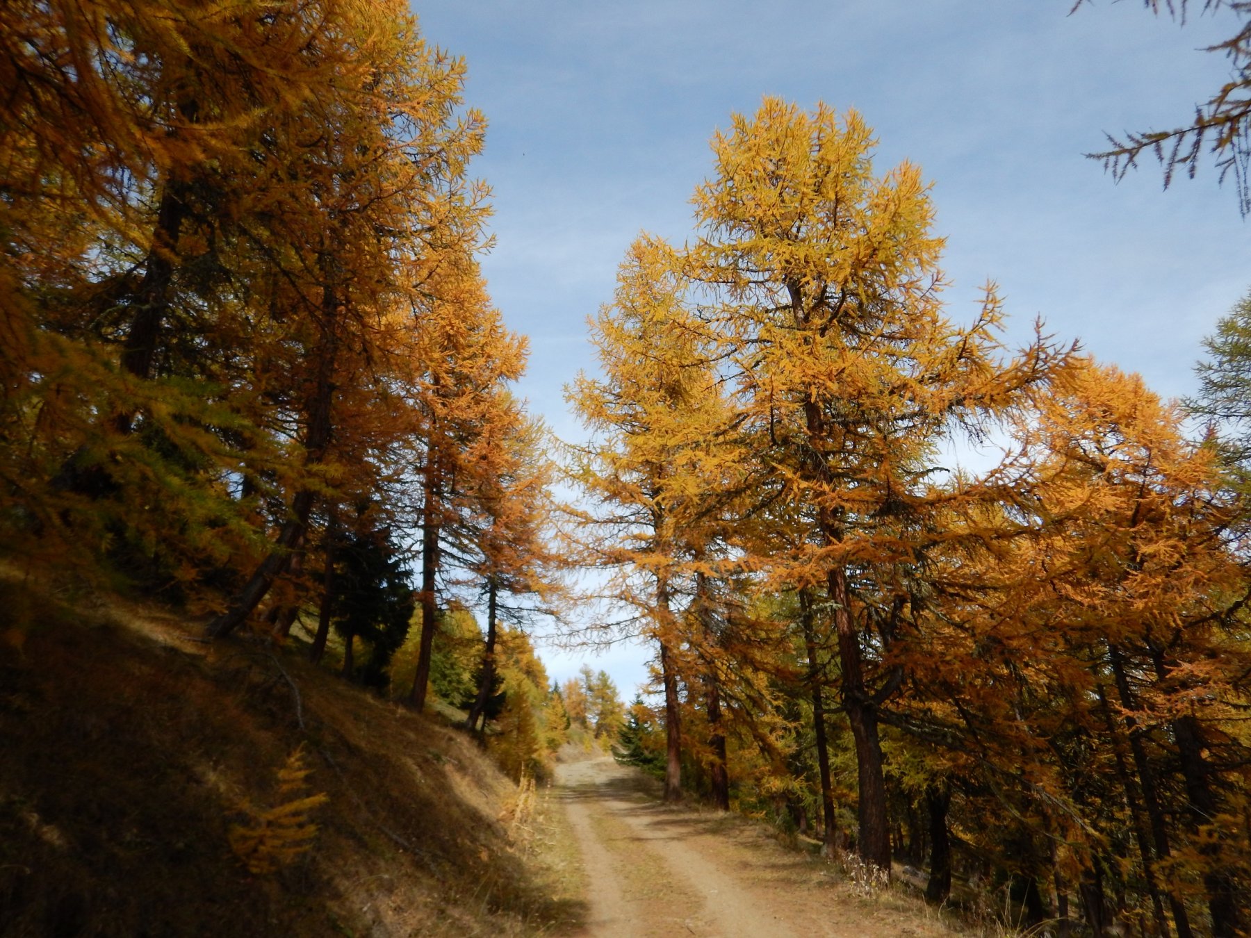
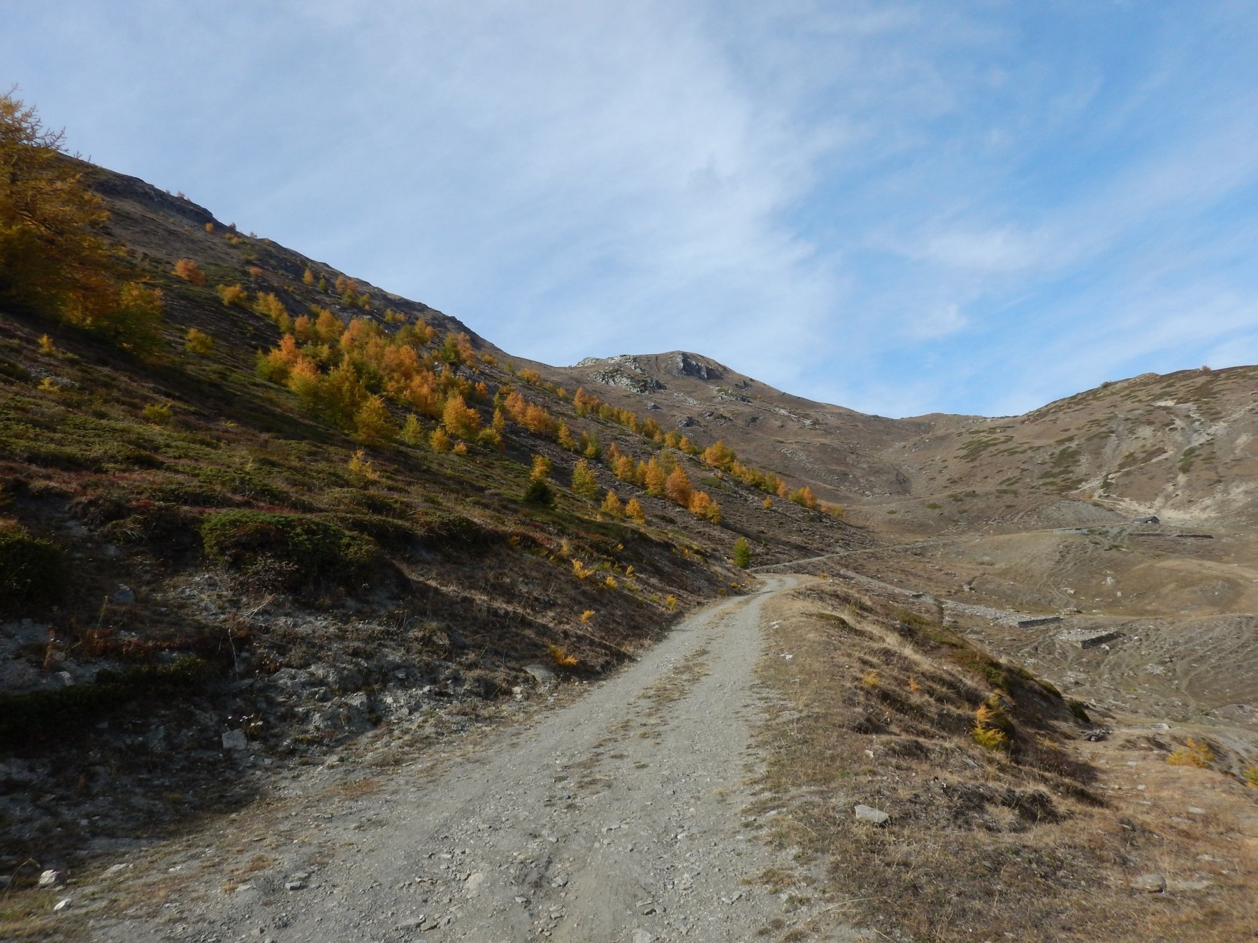
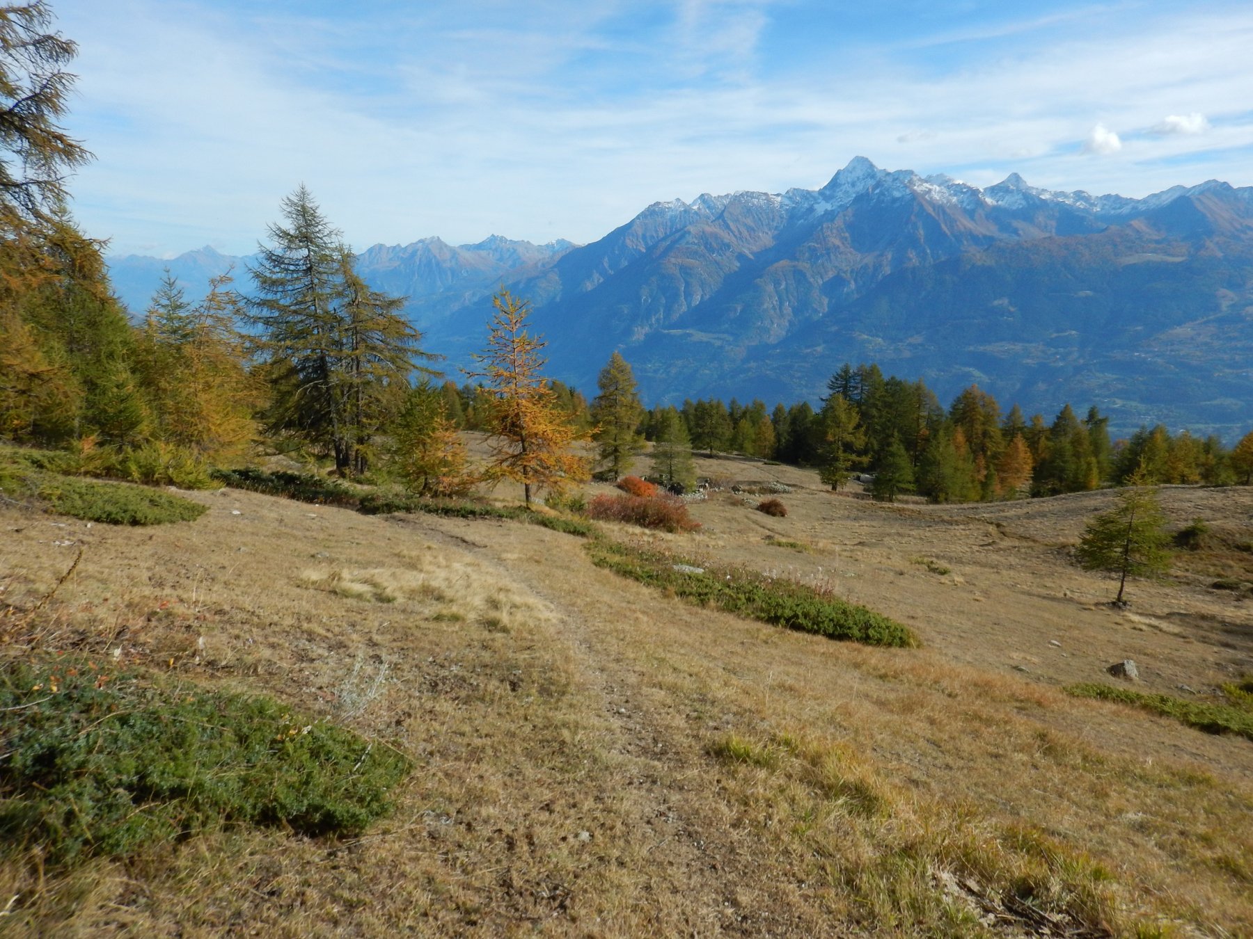
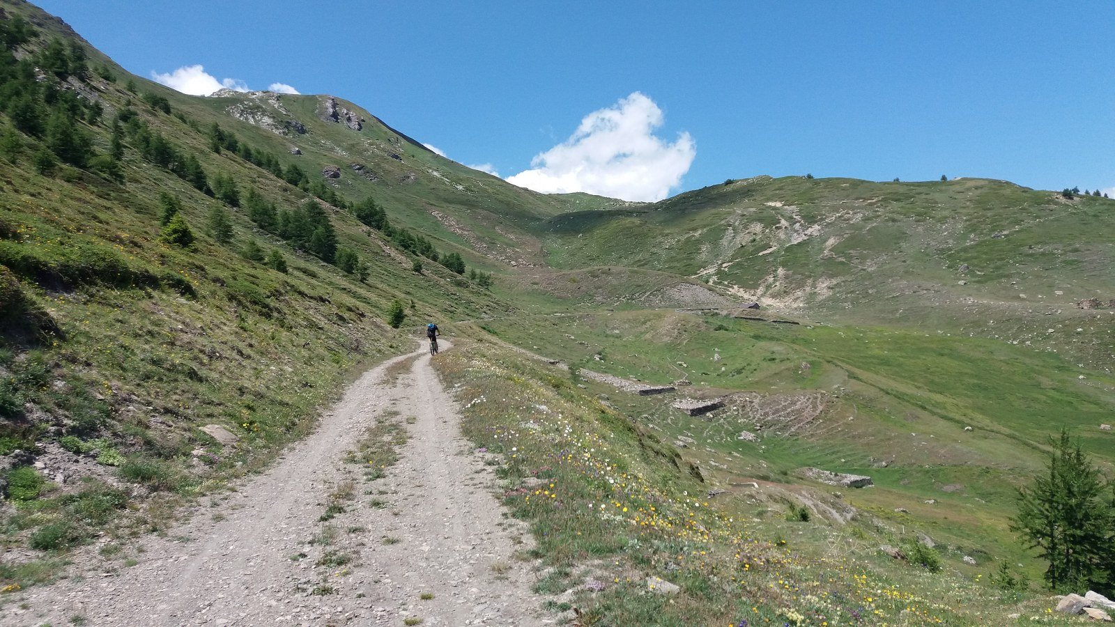
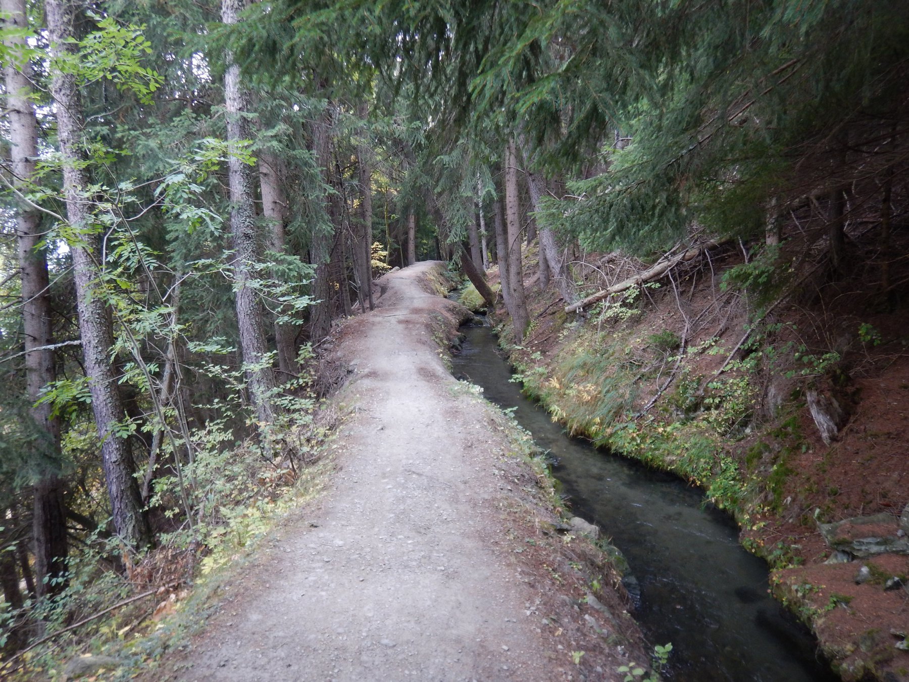
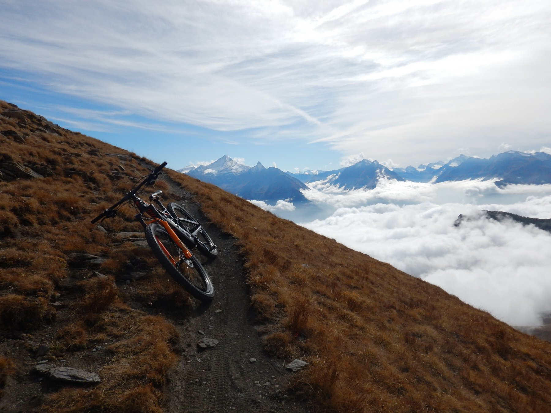
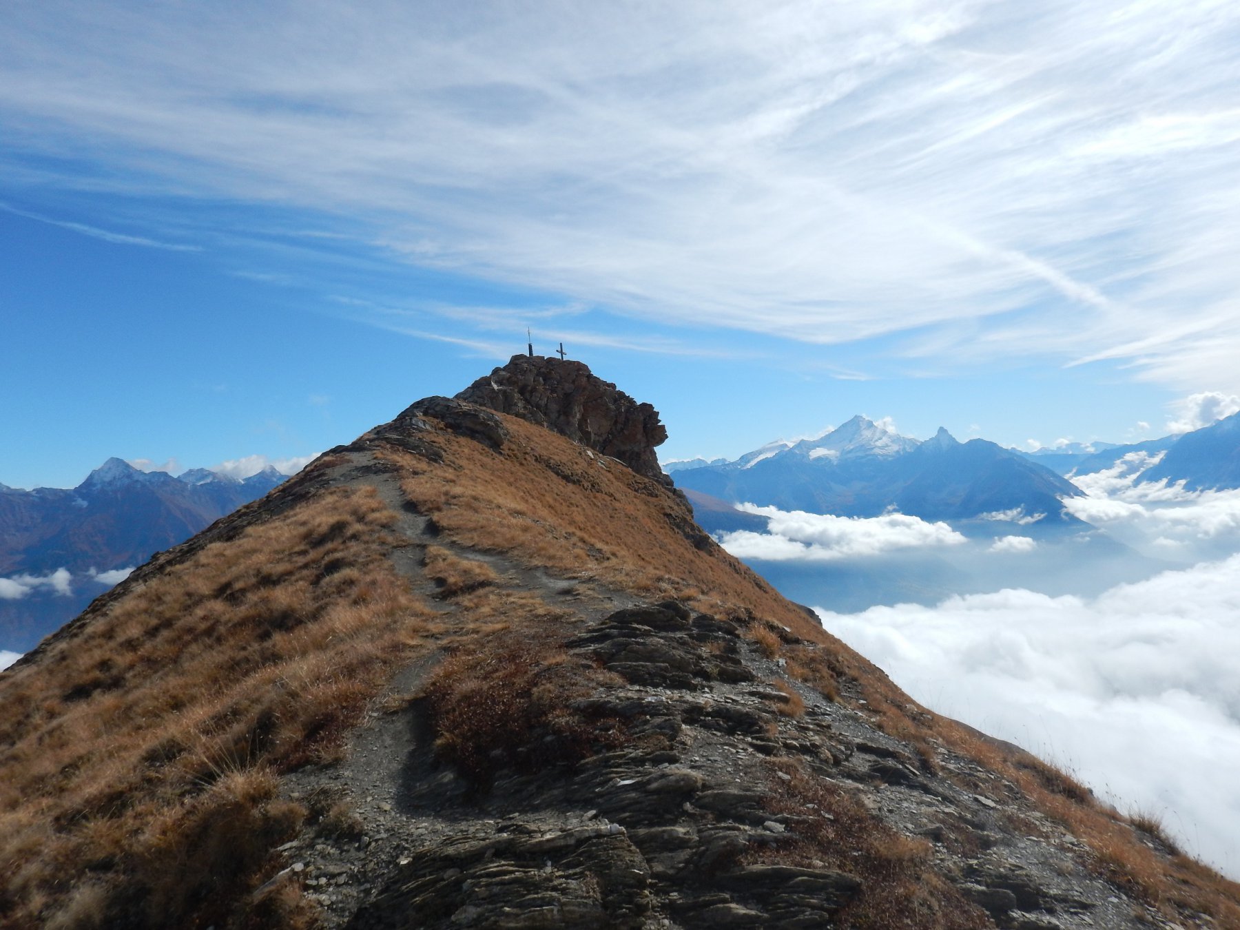
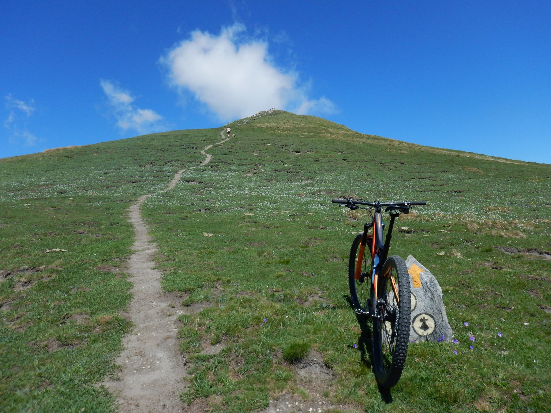
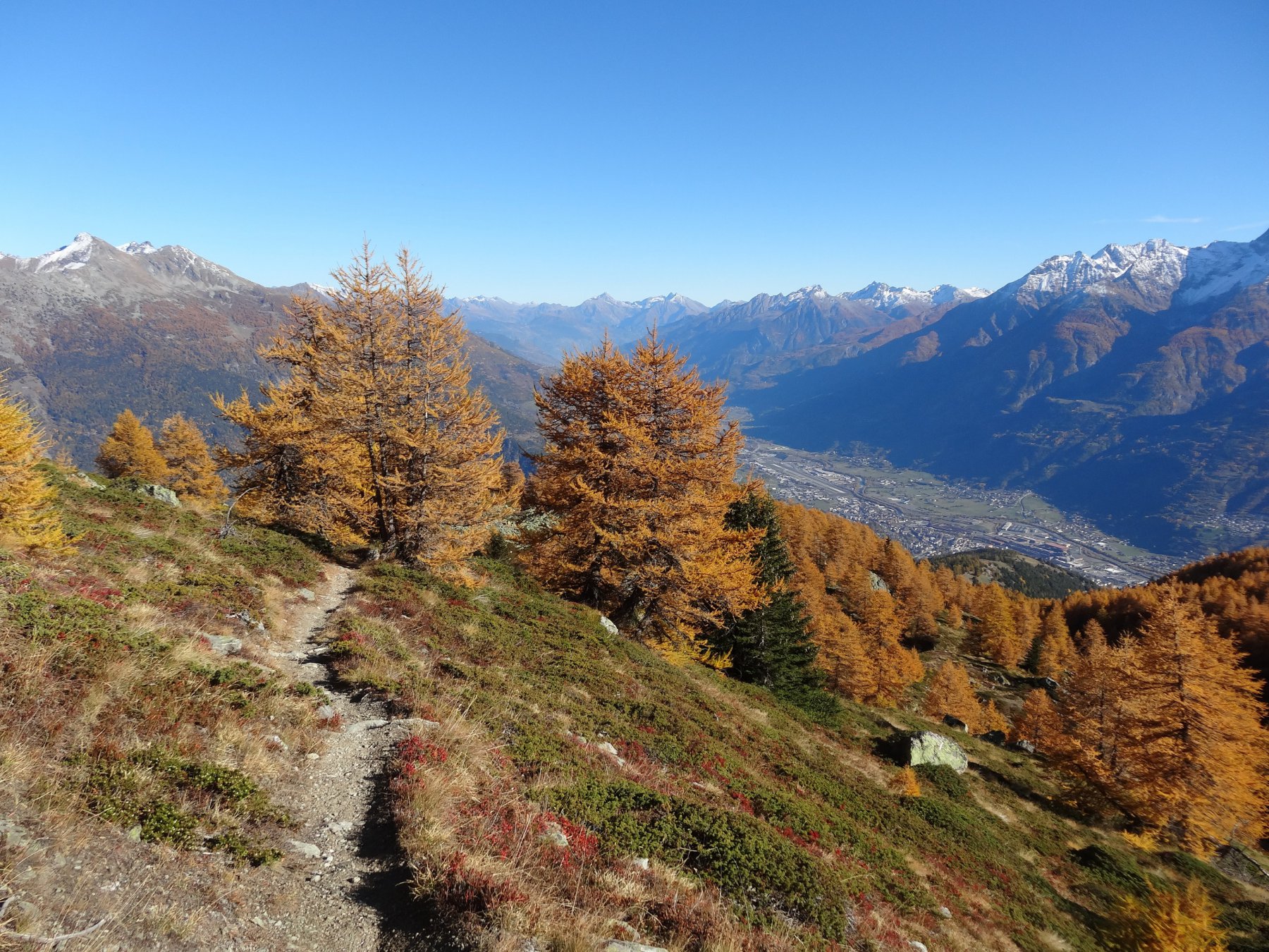
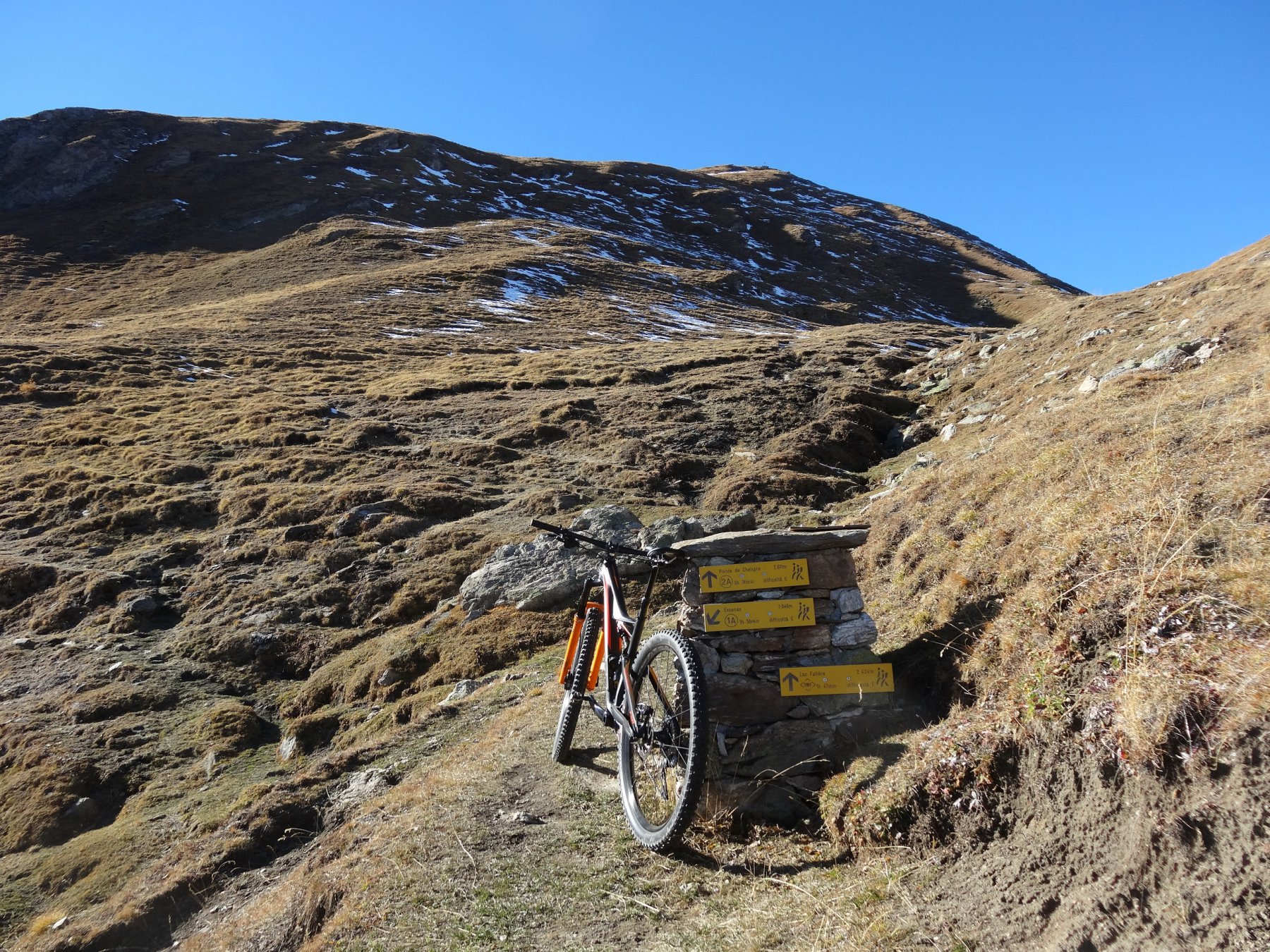
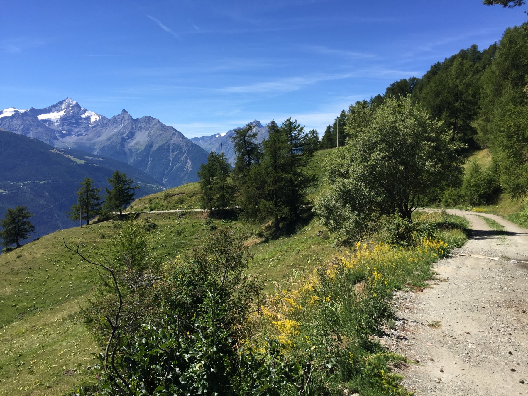
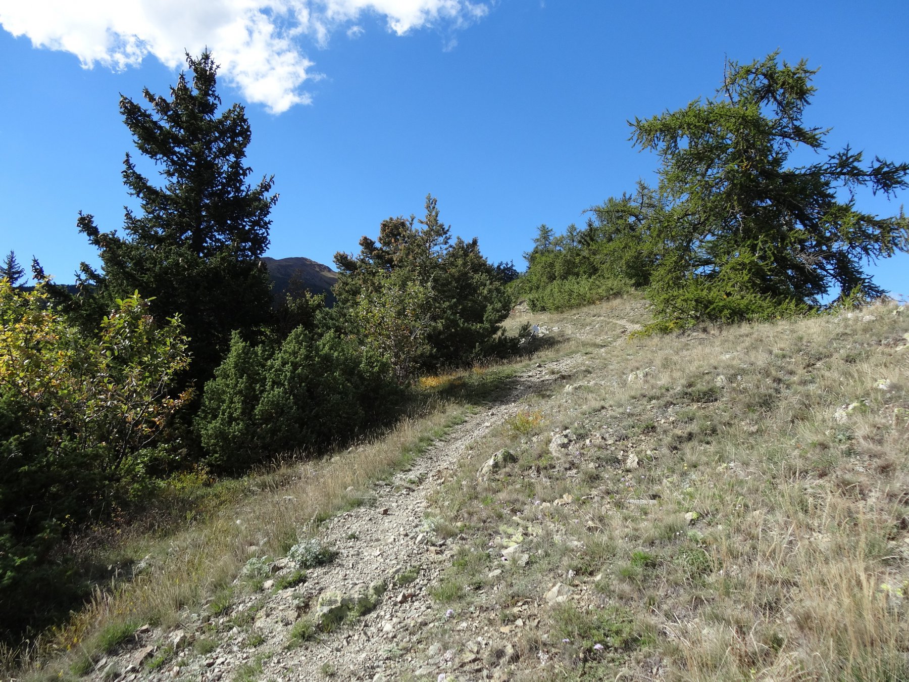
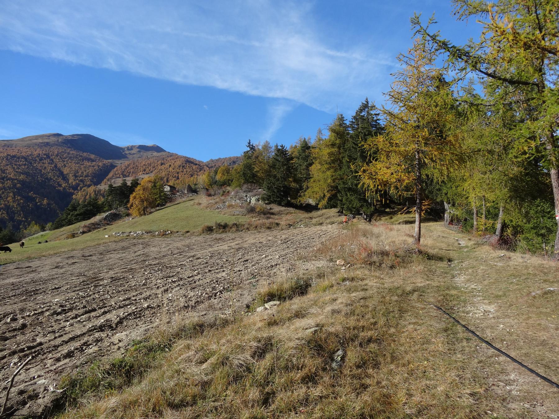
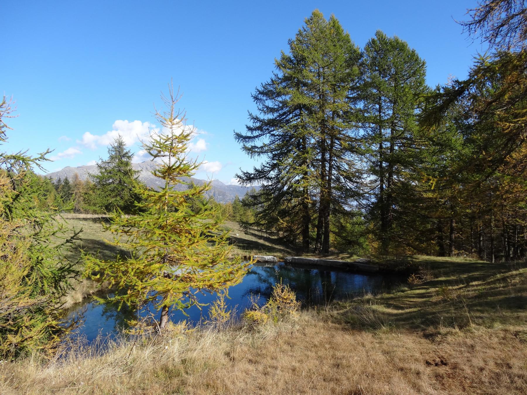
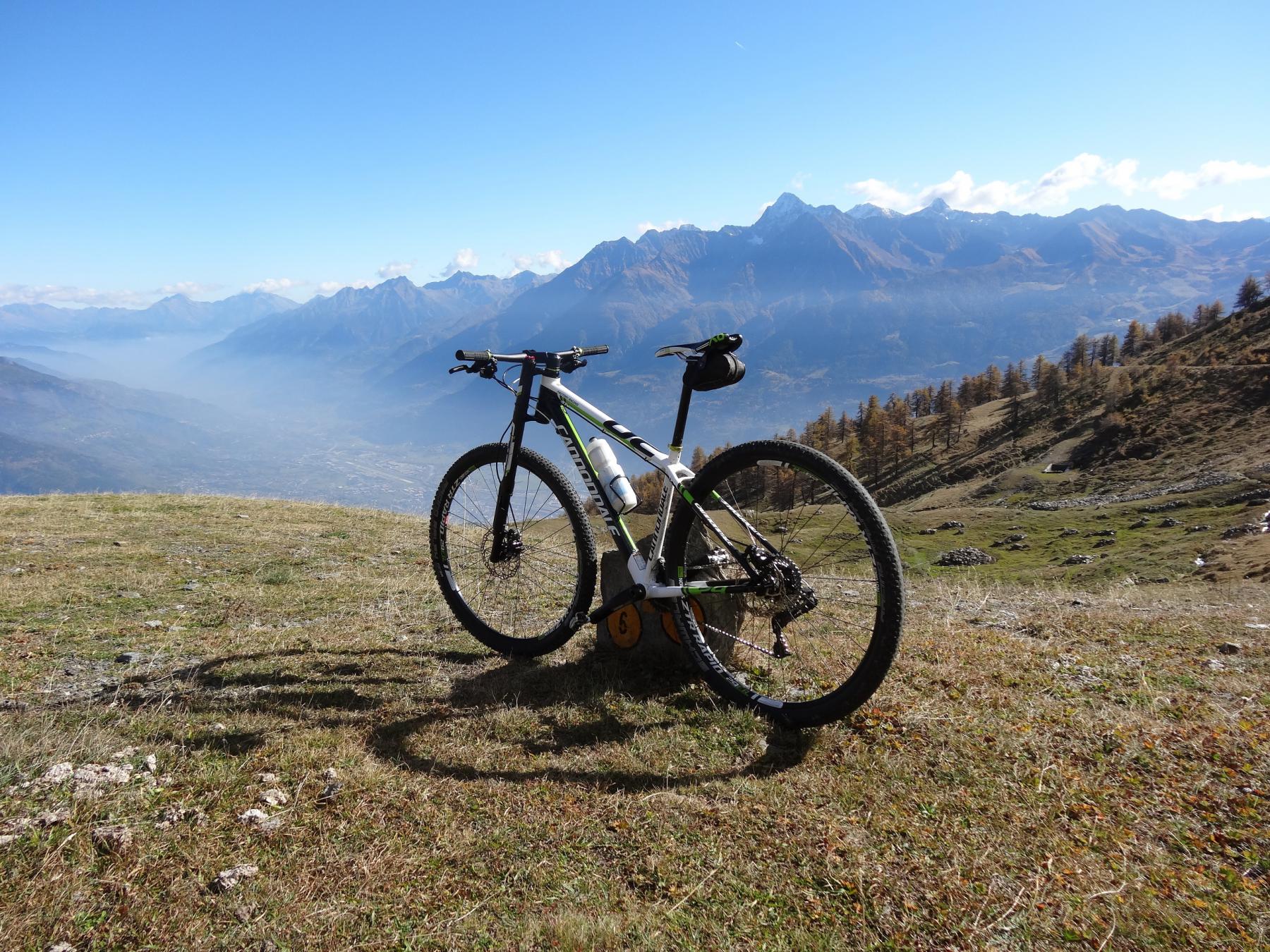
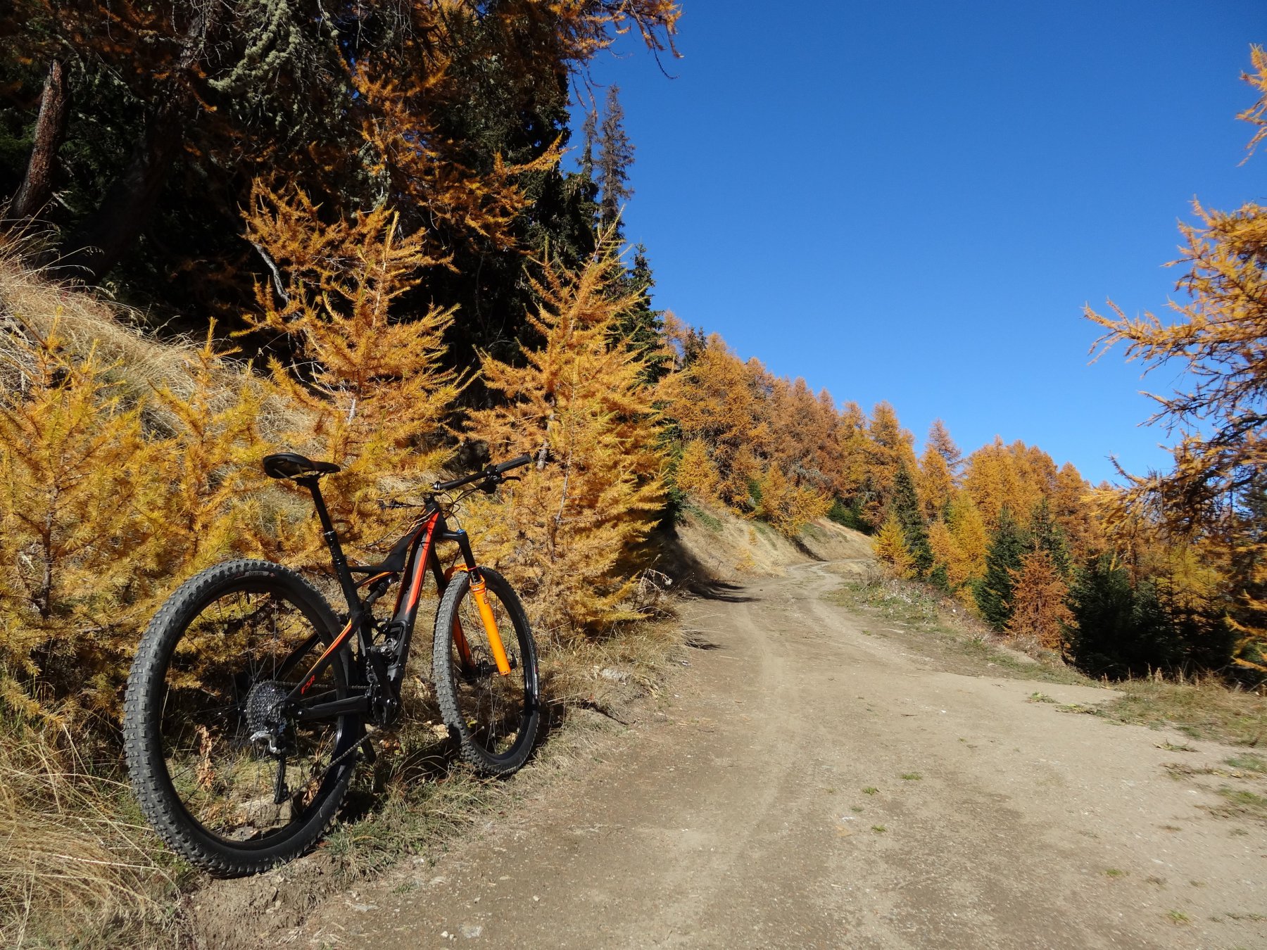
Dopo circa 3 km di asfalto 1260 m prima di un gruppo di case a dx per l’unica sterrata che sale. Proseguendo a sx dopo 1,8 km 1390 m quindi sempre in salita per la sterrata principale fino all’Alpe Metz dove termina la strada 14,5 km 2260 m. Volendo si lascia la bici e si scarpina per prati fino alla Punta Chaligne 2608 m
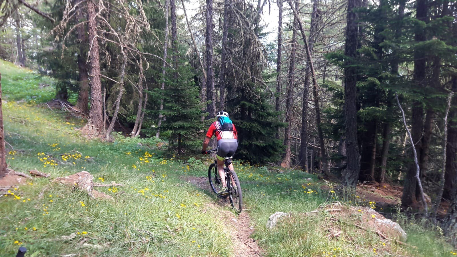
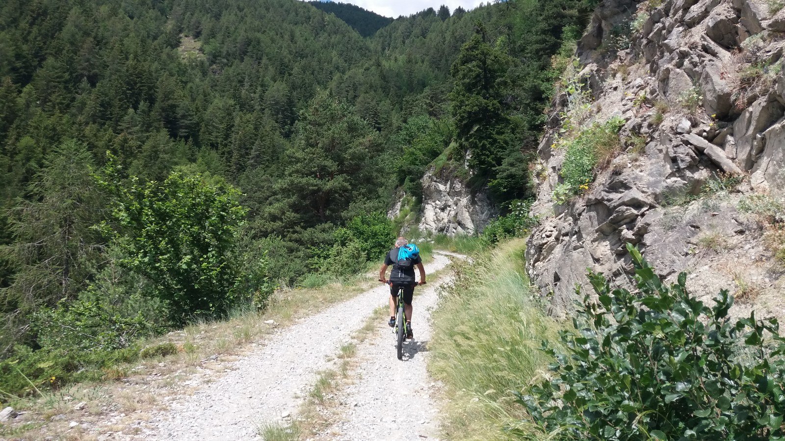
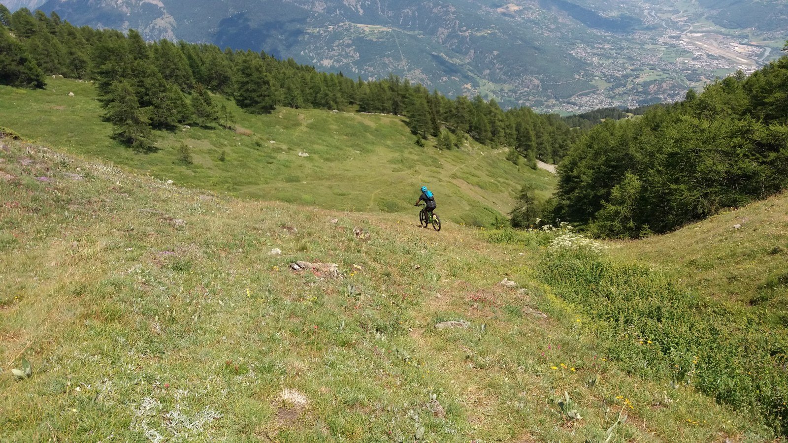
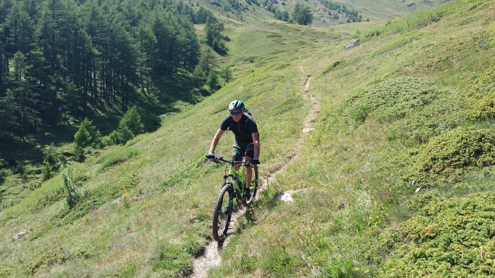
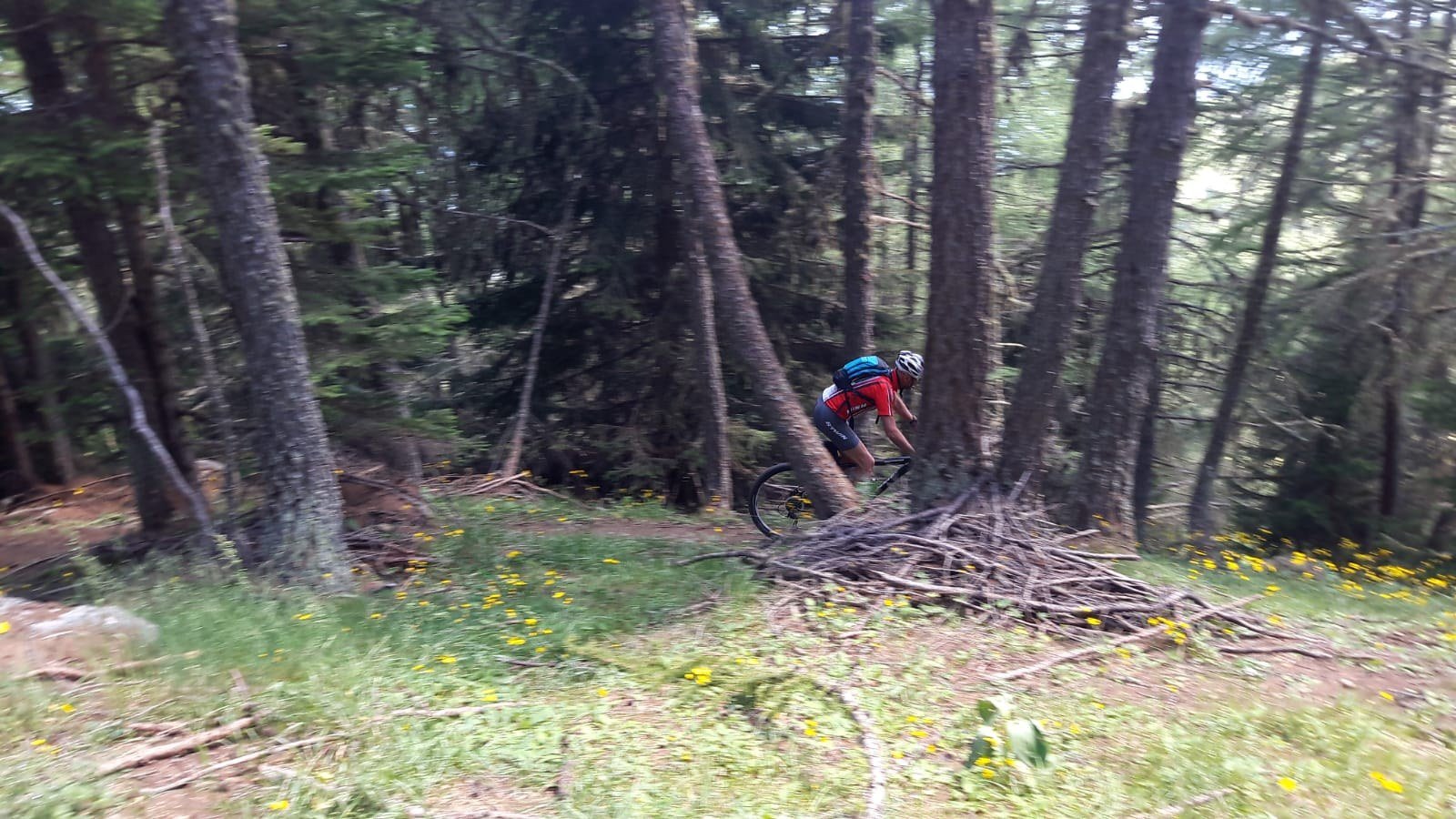
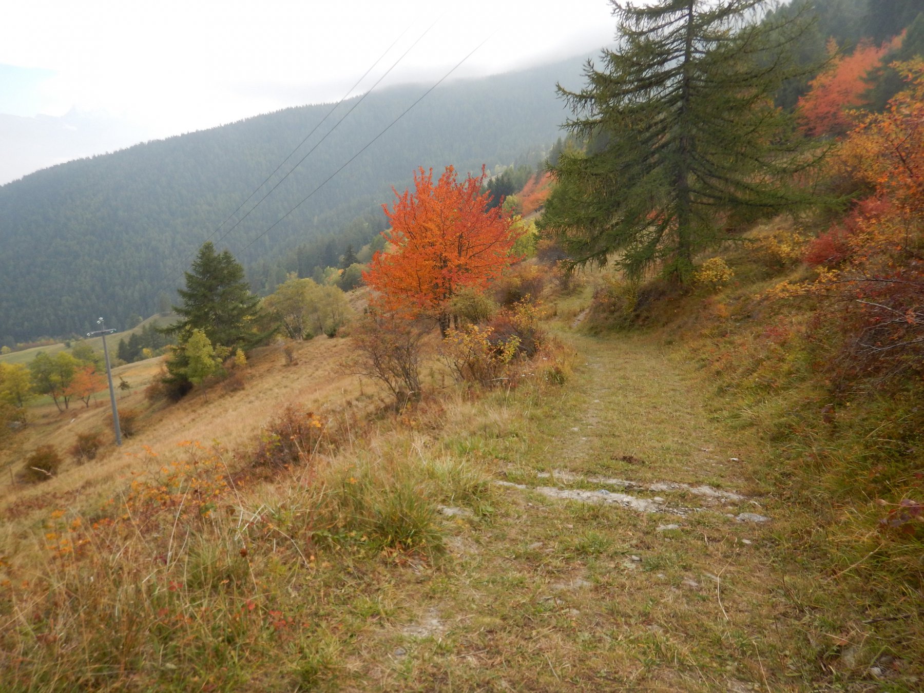
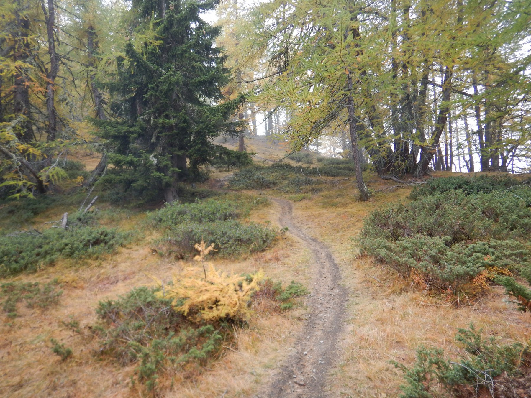
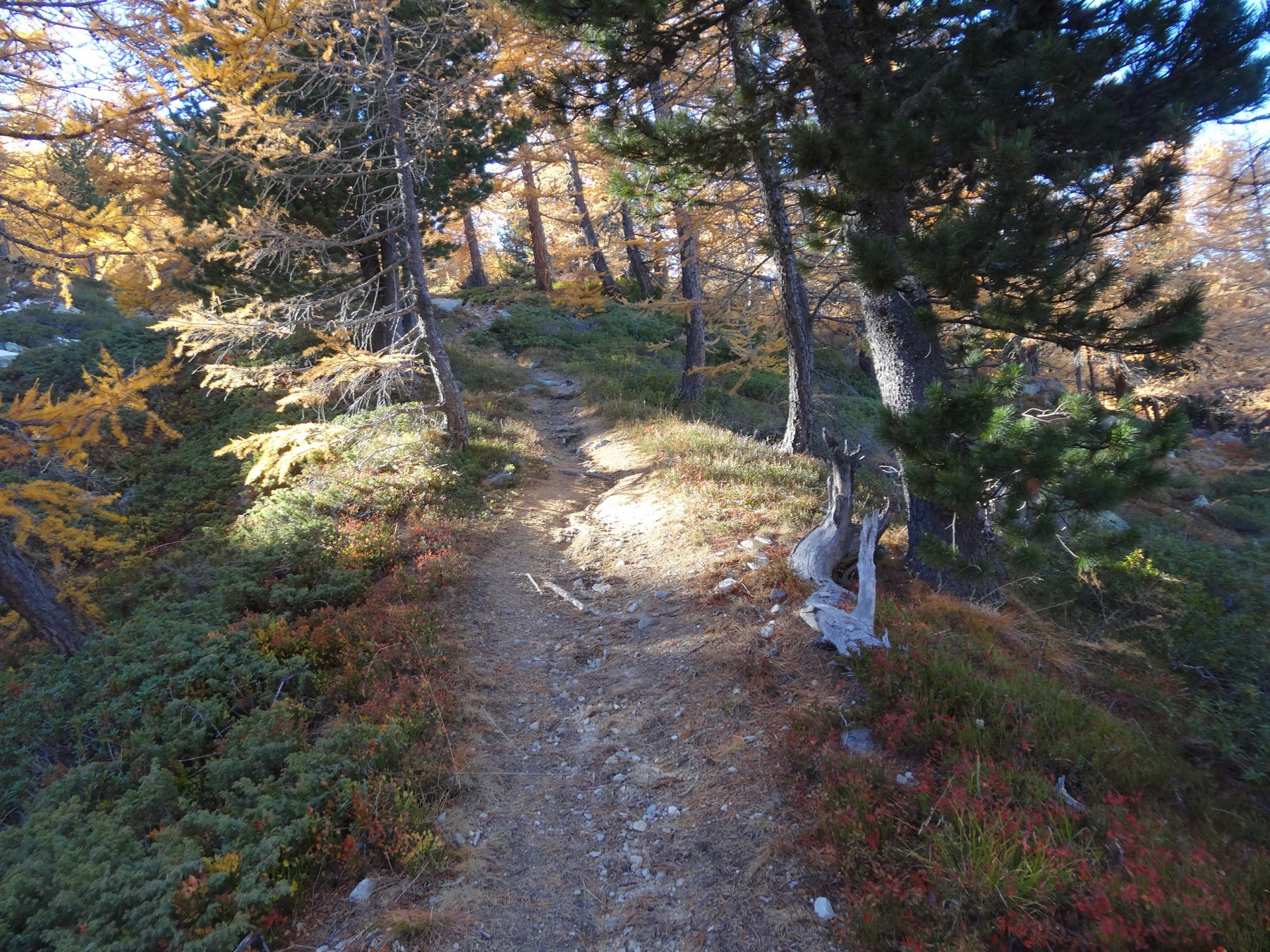
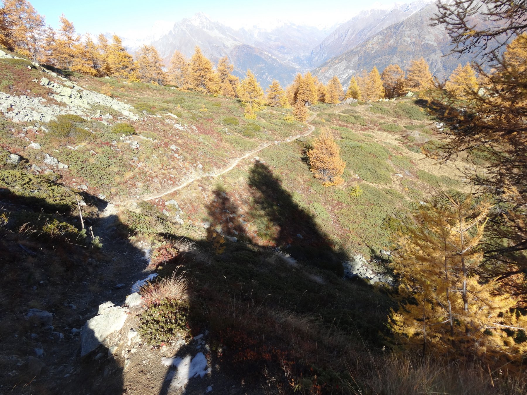
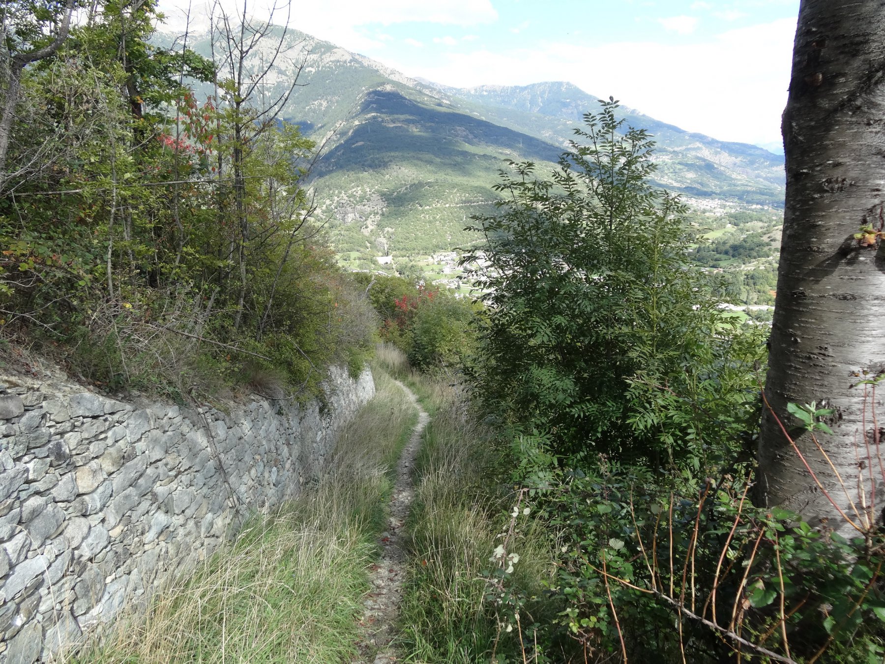
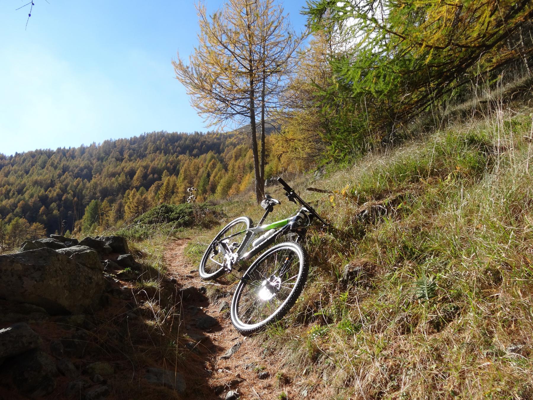
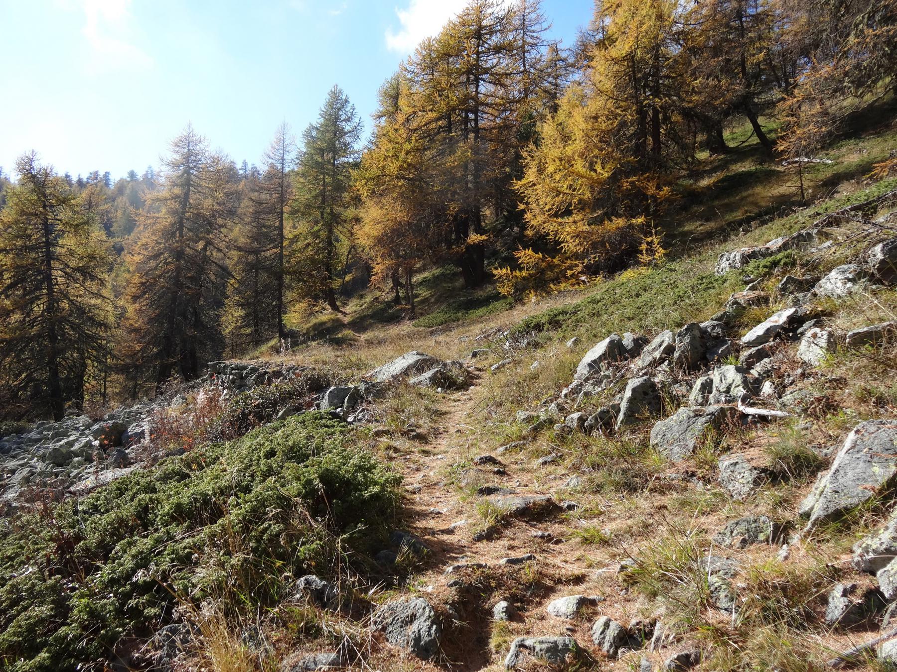
La discesa si compie o per la strada di salita o per un incredibile sentiero che comprende tutto ciò che ci si aspetta per divertirsi.
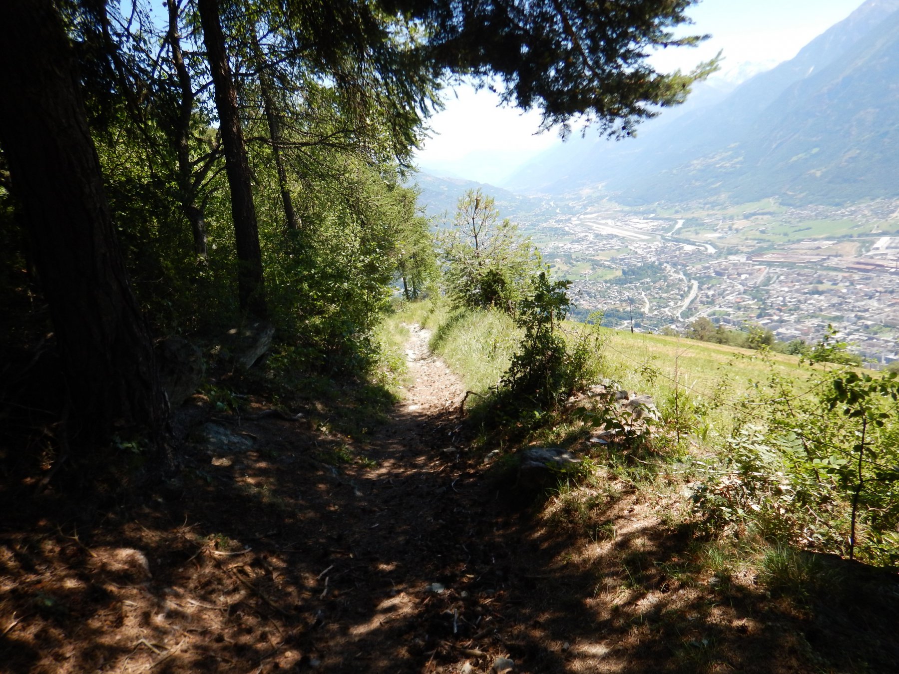
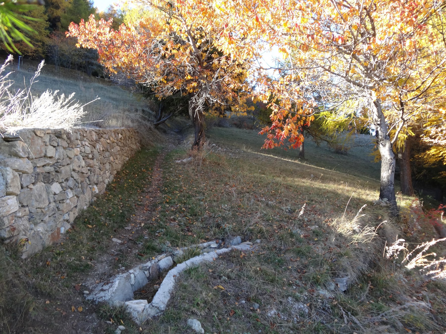
Poco dopo l’alpe Met a sx seguendo i segni gialli nel prato (la traccia è quasi inesistente ma basta seguire la valletta) al ruscello a sx verso il bosco quindi segnavia 1a. Nei bivi successivi continuare per la linea di discesa fino all’asfalto.
La parte finale è decisamente ripida e su mulattiera quindi attenzione all’aderenza se fosse umido.
Nelle vicinanze Mappa
Itinerari
30/09/2023 AO, Aosta D+ 1400 m BC+, BC, S2 Sud
Debat (Plan du) da Arpuilles, giro
 50m
50m
28/08/2022 AO, Aosta D+ 2465 m OC, OC, S3 Tutte
Vessona (Colle di) da Aosta, giro per Saint Barthelemy
 1.9Km
1.9Km
15/08/2013 AO, Aosta D+ 750 m TC, MC, S1 Varie
Pista Ciclabile Dora Baltea da Aosta a Verres
 1.9Km
1.9Km
13/07/2013 AO, Aosta D+ 950 m MC, MC, S0 Varie
Pista Ciclabile Dora Baltea da Aosta a Ivrea
 1.9Km
1.9Km
23/07/2024 AO, Aosta D+ 2700 m MC+, OC+, S3 Nord
Pierre (Pointe de la) da Aosta
 1.9Km
1.9Km
02/08/2011 AO, Aosta OC+, OC+, S4 Tutte
Saint Marcel, Lauson, Entrelor, Fenetre, Chavannes (Colli) da Aosta, traversata a Courmayeur per i rifugi Vittorio Sella, Chalet de l’Epee (3 gg)
1.9Km
01/09/2019 AO, Aosta D+ 1000 m BC, BC, S1 Tutte
GIT – Grand Italian Trail da Aosta a Barge
 1.9Km
1.9Km
28/07/2024 AO, Aosta D+ 1700 m MC, MC+, S0 Sud-Ovest
Prarayer (Rifugio) e Diga di Place Moulin da Aosta per la Valpelline
1.9Km
28/06/2014 AO, Aosta D+ 1000 m BC+, BC, S1 Sud
Valseinte (Baite di) da Aosta, giro del castello di Quart
1.9Km
29/09/2018 AO, Aosta D+ 2200 m BC+, OC, S3 Tutte
Vertosan (Mont) da Aosta, giro per il vallone di Flassin
 1.9Km
1.9Km
Servizi
2.1Km
3.5Km
Chez Edi Ristorante
Gignod
3.5Km
Chez Duclos Ristorante
Gignod
4Km
Mamosipiegy B&B
Charvensod
6.3Km
Chez Marisa Ristorante
Sarre
6.8Km
Gran Paradiso B&B
Jovencan
7.7Km
Le Vieux Alpage Ristorante
Doues
8.5Km
La pineta Rifugio
Aymavilles 8.8Km
8.8Km
Compagnie des Guides de la Valpelline et du Gran Saint Bernard Professionisti
Aosta
9.3Km