3.1Km
3.1Km
Note
 50m
1.2Km
1.9Km
2.8Km
3.2Km
6Km
6.3Km
6.3Km
50m
1.2Km
1.9Km
2.8Km
3.2Km
6Km
6.3Km
6.3Km
3.1Km
3.2Km
3.2Km
3.2Km
4.6Km
5.6Km
6Km
6.3Km
7.5Km
7.7Km
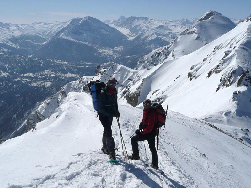
Difficoltà variabile a seconda del tipo di neve. Piccozza e/o ramponi potrebbero tornare utili in caso di neve molto dura. Vista la ripidezza dei versanti è importante neve sicura. Visto l'esposizione è fondamentale una partenza molto mattutina e una discesa già a metà mattinata.
Avvicinamento
-
Descrizione
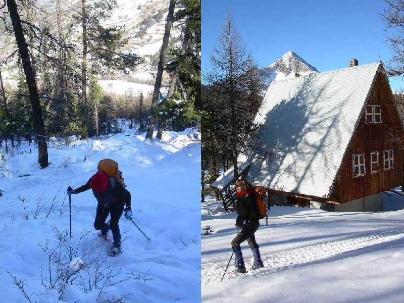
Accesso in auto: da Cesana si scende in direzione Oulx per 5 km circa, fino a trovare sulla sx l’indicazione per Fenils. Si attraversa la Dora, si supera la frazione e si sale, con strada sterrata ma con buon fondo, fino al divieto nei pressi del villaggio di Pra Claud.
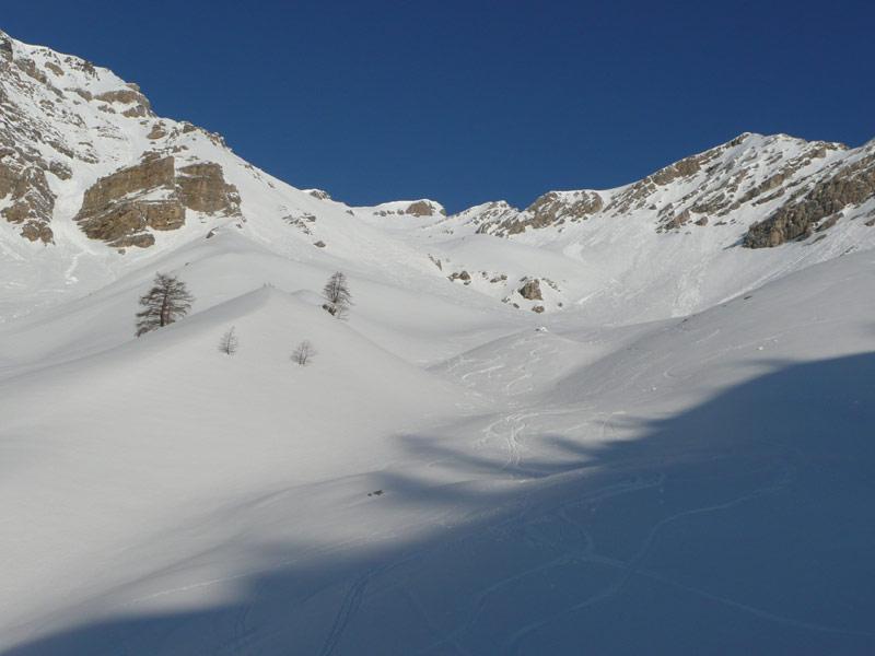
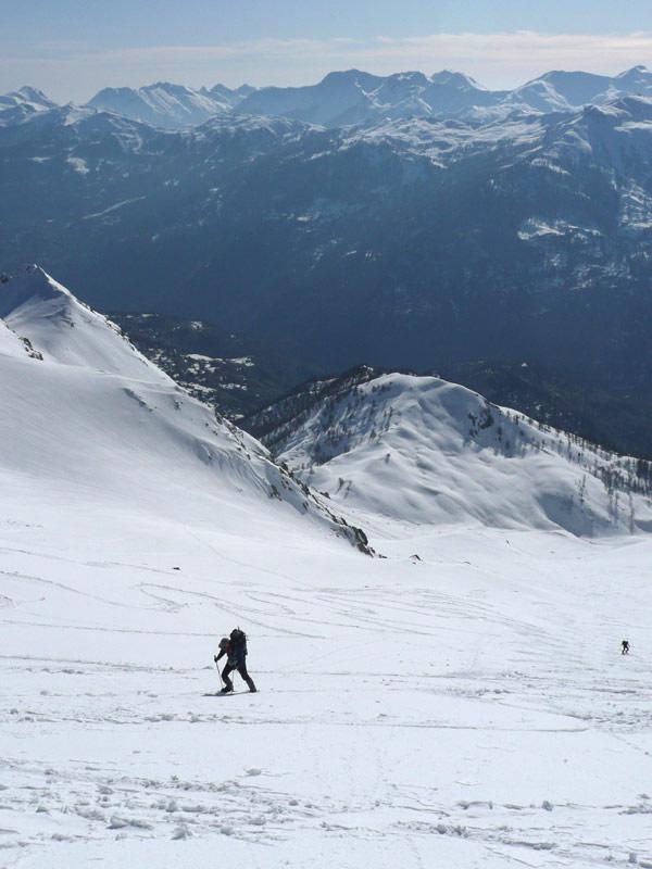
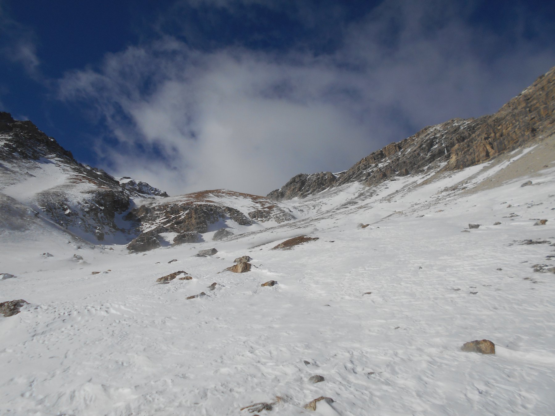
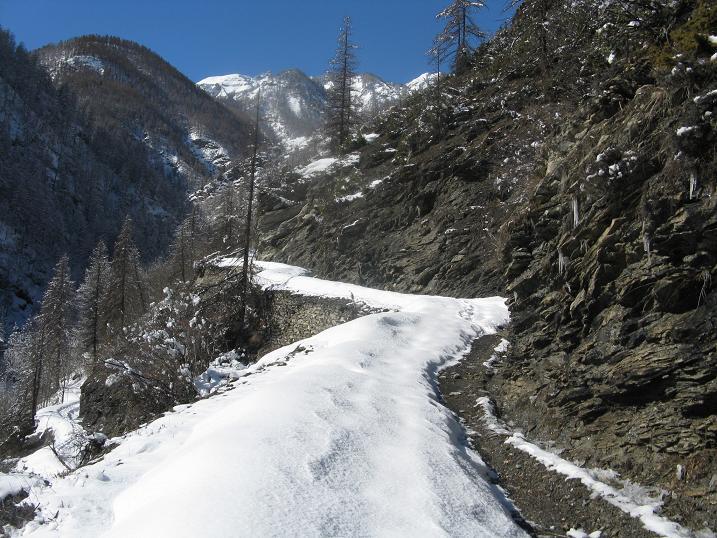
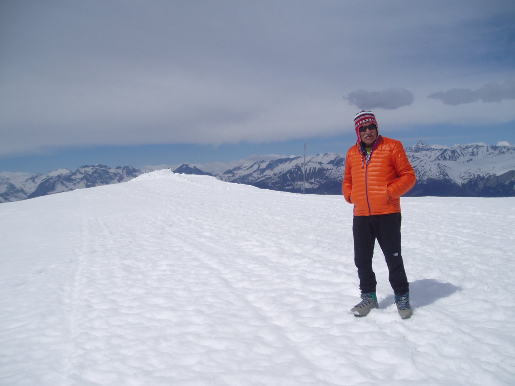
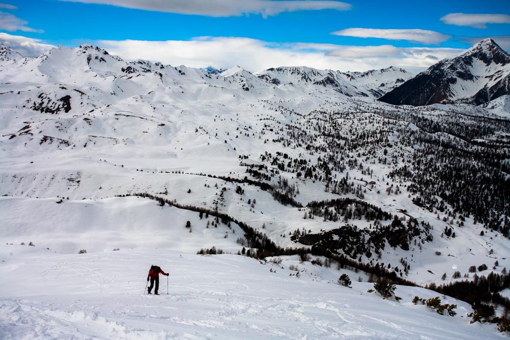
Salita: si prosegue sulla strada in direzione ovest, si compiono una serie di tornanti (possibili scorciatoie), quindi, dopo un traverso più lungo, si raggiunge un grande canalone. Qui si abbandona la strada che lo attraversa e si risale il canalone verso nord. Dove terminano gli alberi il vallone, dopo un tratto pianeggiante, piega a sx (ovest) e riprende a salire. Due rampe decisamente ripide, intervallate da un breve piano intermedio, conducono al Passo dell’Asino, da dove non resta che volgere a dx e in pochi minuti raggiungere la cima.
Nelle vicinanze Mappa
Itinerari
25/01/2025 TO, Cesana Torinese D+ 1000 m BR Sud
Gardiol (Punta) da Fenils
 50m
50m
19/02/2017 TO, Cesana Torinese D+ 400 m MR Est
Autagne (Alpeggio) da Solomiac, anello per Sansicario
 1.2Km
1.2Km
27/02/2014 TO, Cesana Torinese D+ 835 m MR Sud
Madonna del Cotolivier (Cappella) da Desertes, anello
 1.9Km
1.9Km
13/02/2021 TO, Cesana Torinese D+ 1036 m MR Ovest
Fraiteve (Monte) da San Sicario
 2.8Km
2.8Km
27/01/2007 TO, Cesana Torinese D+ 600 m MR Nord-Est
Bercia (Colle) e Sagnalonga da Cesana
 3.2Km
3.2Km
06/01/2023 TO, Oulx D+ 1300 m MR Varie
San Giuseppe (Croce) da Amzas per Madonna del Cotolivier
4.3Km
31/03/2017 TO, Cesana Torinese D+ 200 m MR Varie
Capanna Mautino (Rifugio) da Sagnalonga
6Km
06/02/2016 TO, Cesana Torinese D+ 300 m MR Varie
Gignoux (Lago) o dei Sette Colori da Sagnalonga, anello per Capanna Mautino
 6Km
6Km
21/12/2024 TO, Cesana Torinese D+ 993 m MR Nord-Est
Begino (Monte) da Bousson per il Lago Nero
 6.3Km
6.3Km
04/02/2018 TO, Cesana Torinese D+ 1200 m BR Varie
Fournier (Cima) da Bousson, anello per Thures, Col Chabaud, Lago Nero
 6.3Km
6.3Km
Servizi
3.1Km
3.2Km
L’Ibarus Rifugio
Cesana Torinese
3.2Km
Piergiorgio Frassati B&B
Cesana Torinese
3.2Km
Casa Cesana Bar
Cesana Torinese
4.6Km
La Chardouse Rifugio
Oulx
5.6Km
La Moretta Ristorante
Oulx
6Km
Centro Ristorante
Cesana Torinese
6.3Km
L’Eitabl Ristorante
Oulx
7.5Km
La Fontana del Thures Rifugio
Cesana Torinese
7.7Km