 3.5Km
3.5Km
Note
 0m
50m
50m
50m
50m
50m
50m
50m
750m
0m
50m
50m
50m
50m
50m
50m
50m
750m
3.5Km
4.9Km
6.4Km
6.4Km
6.4Km
6.5Km
7.7Km
9.4Km
9.9Km
Utili piccozza e ramponi
Avvicinamento
.
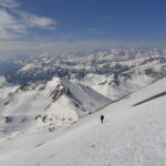
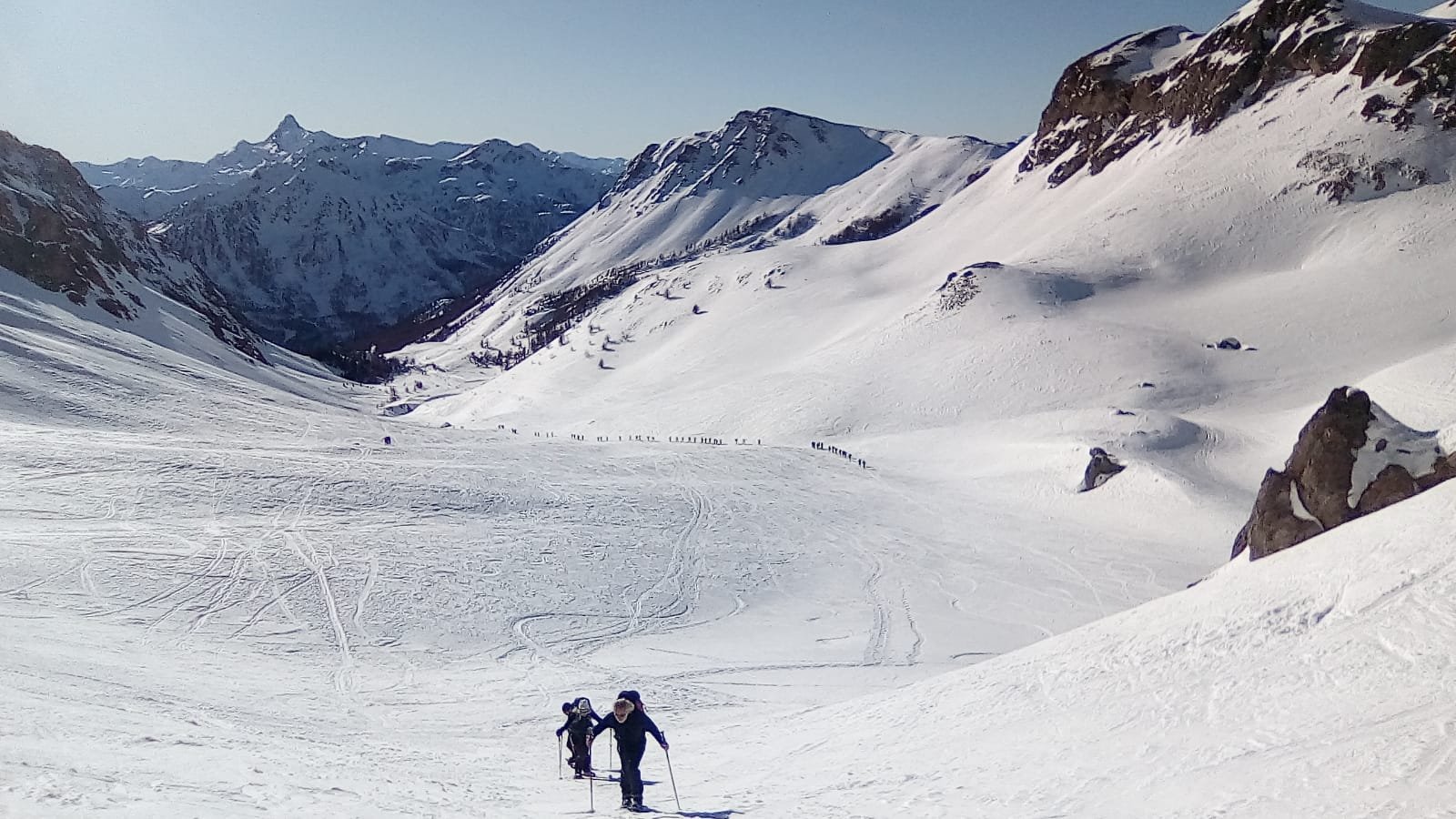
Descrizione
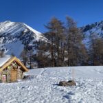
Da Monginevro, prima del paese, si segue una strada asfalata per il Village du Soleil, e si parcheggia prima del complesso alberghiero in vari spiazzi sterrati lungo la strada.
Si segue la pista nel bosco con indicazioni per il monte Chaberton, questa stradina è anche utilizzata come pista da sci rientro. Si prosegue lungo le piste deviando in direzione del GR5 sentier du Clot de Fonds. Passando sotto la funivia e attraversando una pista si lasciano sulla sinistra le piste risalendo il panoramico crinale.
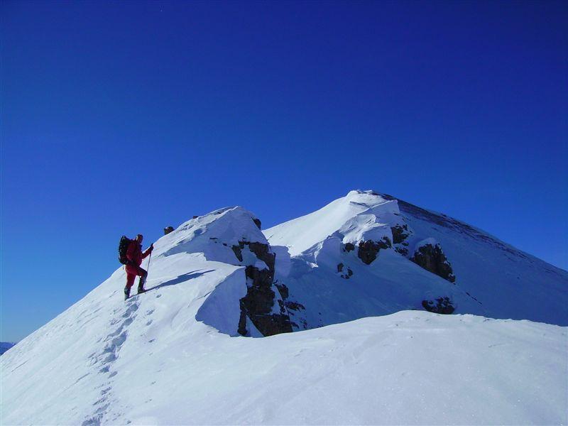
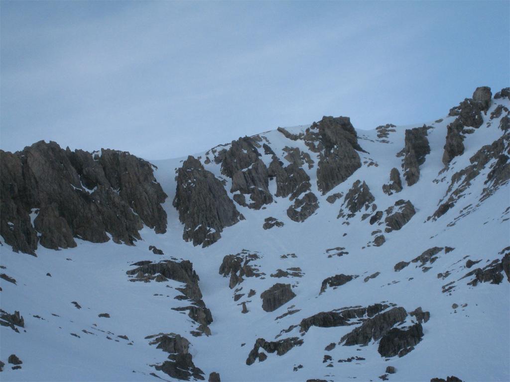
Si entra nell’avvallamento che adduce al Pic du Lauzin, risalendo il pendio e raggiungendo la sovrastante fortificazione. Si giunge sulla linea di cresta del Col des Trois Fréres Mineurs.
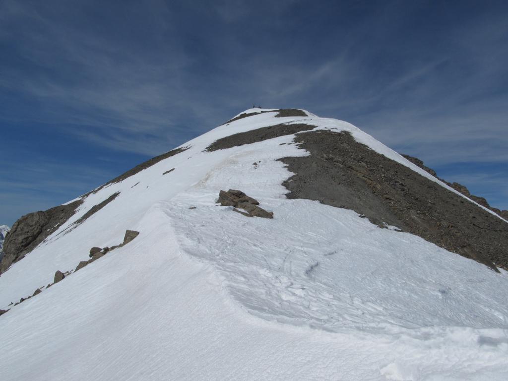
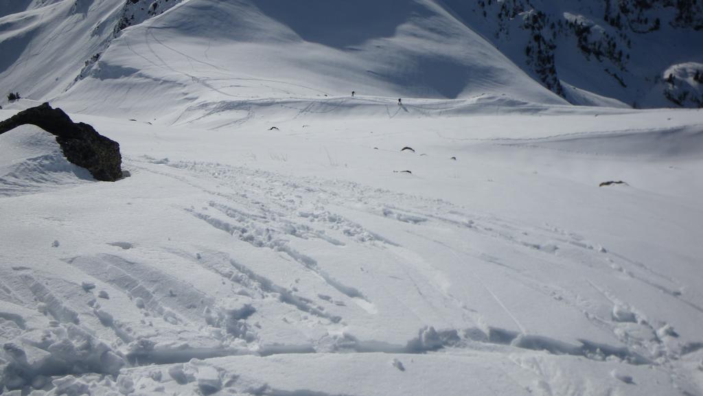
Si scendere di poco meno di 100 m nel Ravin d’Opon e risalire il vallone subito a destra fino al ripido colle dell’Asino, dal quale a sinistra per breve e larga cresta fino in cima.
Nelle vicinanze Mappa
Itinerari
16/02/2025 Hautes-Alpes, Montgenèvre D+ 726 m MR Sud
Trois Freres Mineurs (Col des) da Montgenevre
 0m
0m
28/01/2024 Hautes-Alpes, Montgenèvre D+ 1350 m BR Varie
Chaberton (Monte) da Montgenèvre
 50m
50m
27/12/2018 Hautes-Alpes, Montgenèvre D+ 900 m BRA, F Varie
Lauzin (Pic du) da Montgenevre, anello per Col des Trois Freres Mineurs e Col Alpet
 50m
50m
10/03/2013 Hautes-Alpes, Montgenèvre D+ 571 m MR Sud
Rocher Rouge (le) da Montgenevre
 50m
50m
23/03/2010 Hautes-Alpes, Montgenèvre D+ 1275 m BRA, PD- Tutte
Chaberton (Monte) da Montgenevre per i Canali O/SO della dorsale NO
 50m
50m
23/11/2014 Hautes-Alpes, Montgenèvre D+ 1350 m BRA, F Nord
Rochers Charniers (Pointe des) e Pointe de Chalanche Ronde da Montgenèvre
 50m
50m
17/02/2024 Hautes-Alpes, Montgenèvre D+ 1207 m BR Sud-Ovest
Rochers Charniers (Pointe des) da Montgenèvre
 50m
50m
05/01/2020 Hautes-Alpes, Montgenèvre D+ 1500 m BRA Varie
Rochers Charniers (Pointe des) da Montgenevre, giro per Pian dei Morti e Colle dello Chaberton
 50m
50m
21/03/2024 Hautes-Alpes, Montgenèvre D+ 1250 m BRA, F+ Varie
Malapas o Marapa (Rochers de) da Montgenèvre
50m
18/11/2012 Hautes-Alpes, Montgenèvre D+ 750 m BR Nord-Ovest
Plane (Monte la) da Montgenevre
 750m
750m
Servizi
3.5Km
4.9Km
La vachette Bar
Montgenèvre
6.4Km
Casa Cesana Bar
Cesana Torinese
6.4Km
L’Ibarus Rifugio
Cesana Torinese
6.4Km
Piergiorgio Frassati B&B
Cesana Torinese
6.5Km
Ottima Scelta Ristorante
Cesana Torinese
7.7Km
Terre Rouge Rifugio
Cervières
9.4Km
Centro Ristorante
Cesana Torinese
9.9Km
