2.3Km
2.3Km

Note
 1.6Km
3Km
3.2Km
3.2Km
4Km
5Km
5Km
5Km
6Km
1.6Km
3Km
3.2Km
3.2Km
4Km
5Km
5Km
5Km
6Km
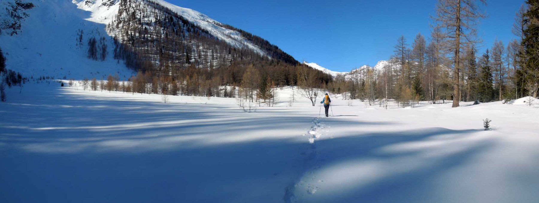
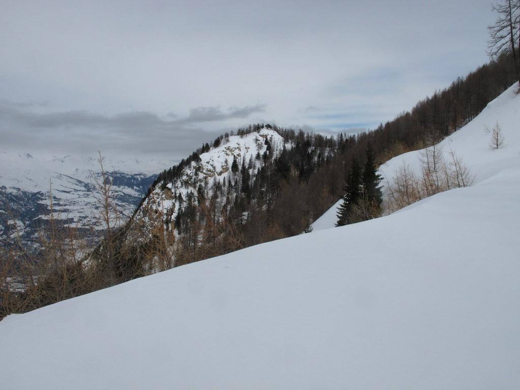
La destinazione di questo itinerario è l’Alpe di Boregne, ma da Boregne i racchettatori più bravi e gli sci-alpinisti proseguono per la Becca di Tos.
Il percorso suggerito parte dal villaggio di La Ravoire in Valgrisenche, ma alla stessa destinazione si può arrivare sia partendo da Grand Haury, dove i due itinerari comunque si incontrano, o da Le Combes. Il sentiero è sempre largo ed evidente, ma in condizioni di abbondante innevamento la salita potrebbe risultare un po’ difficoltosa; in questo caso è conveniente partire da Le Combes e stare sempre sulla strada sterrata.
Avvicinamento
Il percorso suggerito parte dal villaggio di La Ravoire in Valgrisenche, ma alla stessa destinazione si può arrivare sia partendo da Grand Haury, dove i due itinerari comunque si incontrano, o da Le Combes. Il sentiero è sempre largo ed evidente, ma in condizioni di abbondante innevamento la salita potrebbe risultare un po’ difficoltosa; in questo caso è conveniente partire da Le Combes e stare sempre sulla strada sterrata.
.
Descrizione
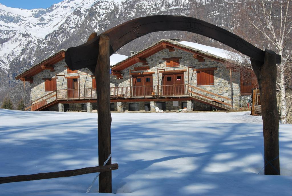
Partendo dal villaggio di La Ravoire (946 m) seguire la SR per Valgrisenche (bolli gialli sul muro, segnavia n. 2) fino ad incontrare, sulla sinistra, lo stacco del sentiero. Scendere ed attraversare la Dora di Valgrisenche sul ponticello di legno, risalire fino ad incontrare il bivio per il castello di Montmayeur (palina segnavia); al bivio ignorare la deviazione di sinistra per il castello e proseguire sul sentiero, che in alcuni tratti diventa pista, fino al villaggio di Grand Haury. Seguire poi verso Sud-Ovest la strada sterrata (palina con segnavia n. 4) che attraversa un torrente, poi si restringe ed inizia a salire nel bosco con percorso sempre ben evidente. Quando si arriva in vista dei ruderi dell’Alpetta Ferrod (1473 m), non uscire sulla strada sterrata ma continuare per il sentiero. Questo sale ancora ed arriva in una radura; seguire la sterrata che sale all’alpeggio di Fourtse, quindi proseguire su strada fino agli alpeggi del Pileo (1645 m) e poi ancora all’alpeggio di Province ed infine Boregne (2000 m).
Ritorno sulla stessa strada di salita.
- Cartografia:
- Carta L’Escursionista, Fg. 3, Valgrisenche - Val di Rhemes, Scala 1:25000
- Bibliografia:
- L. Zavatta - Le valli del Gran Paradiso e la Valgrisenche - L'Escursionista Editore
Nelle vicinanze Mappa
Itinerari
19/02/2017 AO, Introd D+ 651 m MR Nord
Bry (Plan) da Les Combes
 1.6Km
1.6Km
28/12/2014 AO, Saint-nicolas D+ 70 m MR Tutte
Bois de la Tour da Saint Nicolas
 3Km
3Km
12/01/2025 AO, Avise D+ 880 m BR Sud-Ovest
Aquiletta (Punta) o Oilletta da Vens
 3.2Km
3.2Km
28/03/2026 AO, Avise D+ 456 m MR Sud
Secheron (Alpe) da Vens
 3.2Km
3.2Km
13/12/2021 AO, Saint-Nicolas D+ 300 m T Sud
Grand Sarriod da Chaillod, anello
3.9Km
25/03/2025 AO, Avise D+ 370 m MR Sud
Jovençan da Vedun
 4Km
4Km
15/02/2014 AO, Rhemes-Saint-Georges D+ 1000 m MR Varie
Blanc (Mont) da Coveyrand
 5Km
5Km
28/02/2015 AO, Rhemes-Saint-Georges D+ 1213 m BR Ovest
Paillasse (Mont) da Coveyrand
 5Km
5Km
23/02/2012 AO, Rhemes-Saint-Georges D+ 936 m MR Ovest
Blanc (Mont, Col du) da Coveyrand
 5Km
5Km
25/02/2012 AO, Saint-Pierre D+ 542 m MR Varie
France (Becca) da Vetan
 6Km
6Km