5.8Km
5.8Km
Note
 50m
50m
3.5Km
5Km
6.8Km
7Km
7.2Km
8.2Km
8.2Km
50m
50m
3.5Km
5Km
6.8Km
7Km
7.2Km
8.2Km
8.2Km
5.8Km
5.9Km
8.2Km
8.7Km
8.9Km
9.1Km
9.1Km
9.3Km
9.7Km
9.8Km
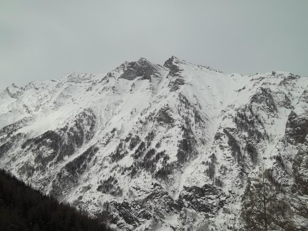
Rispetto all'itinerario descritto nel libro "Tracce Lievi" per il Col du Mont Blanc, quello qui proposto è più breve e diretto (circa 10 km A/R), perché evita una buona parte della strada sterrata di servizio agli alpeggi. Il percorso è tuttavia un po' più da ricercare dato che si svolge per buona parte nel bosco in assenza di tacche gialle o altre indicazioni visibili.
Avvicinamento
A5 uscita Aosta oppure Aosta ovest poi SS26. A Villeneuve svoltare a dx per Valsavaranche/Val di Rhemes. Superare Introd e proseguire sino alla biforcazione per la Val di Rhemes. Risalire brevemente la valle, a Rhemes Saint Georges svoltare a sx per località Vieux e Coveyrand e continuare fino alla chiesa parrocchiale. Si trova qualche piazzola parcheggio nei pressi oppure poco prima sulla dx.
Descrizione
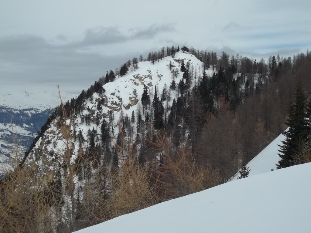
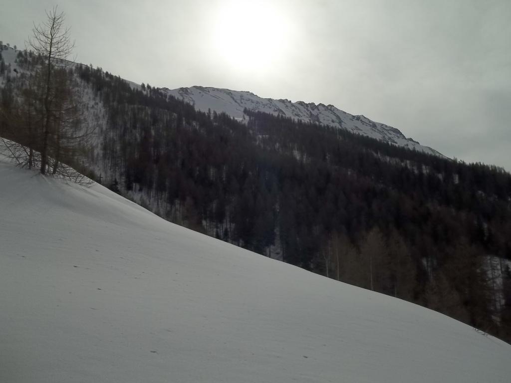
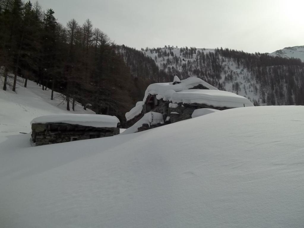
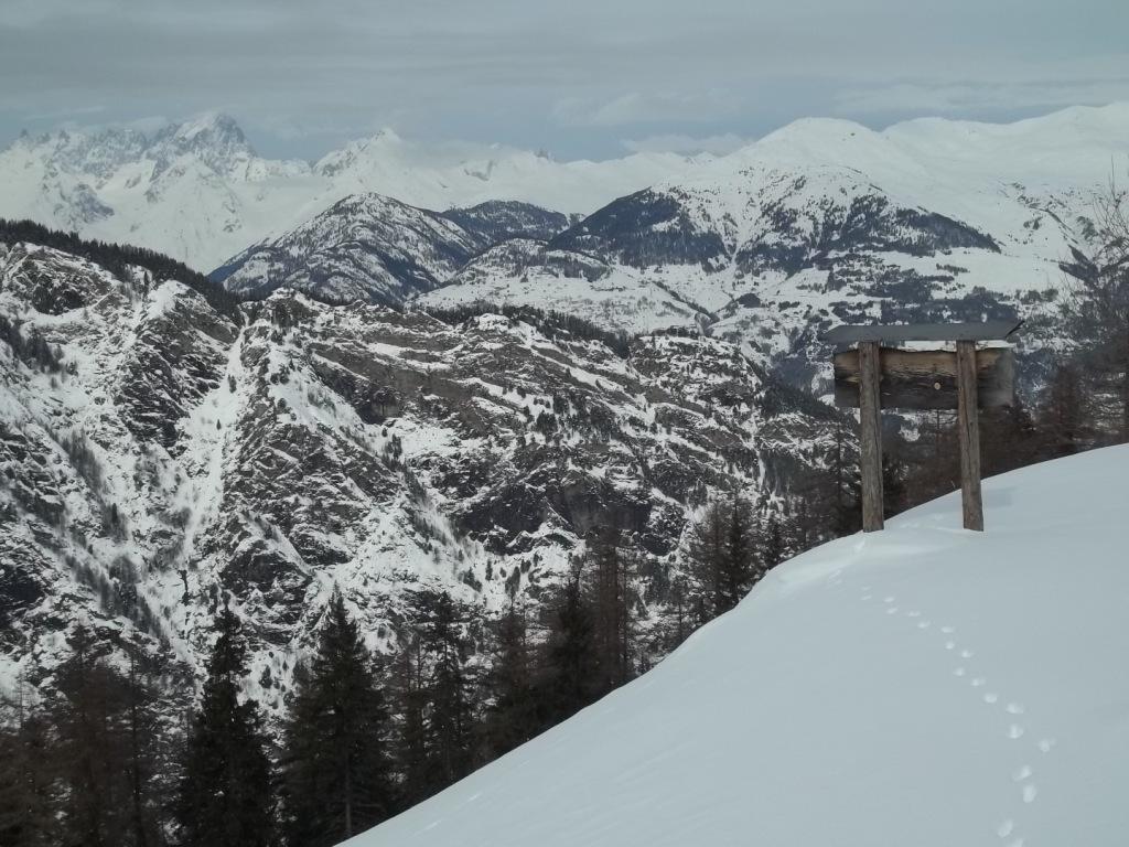
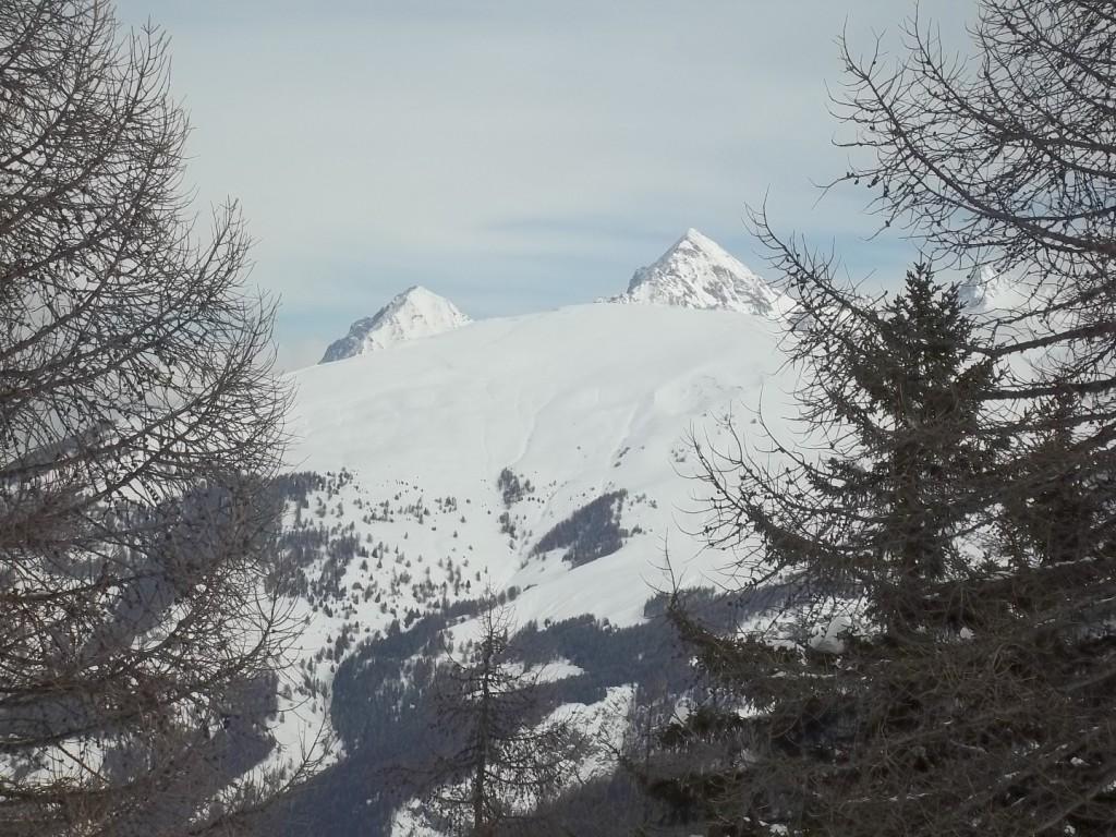
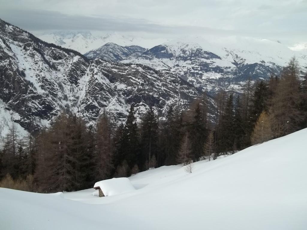
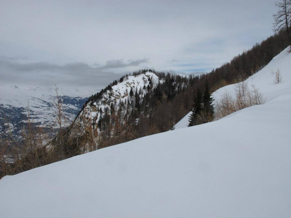
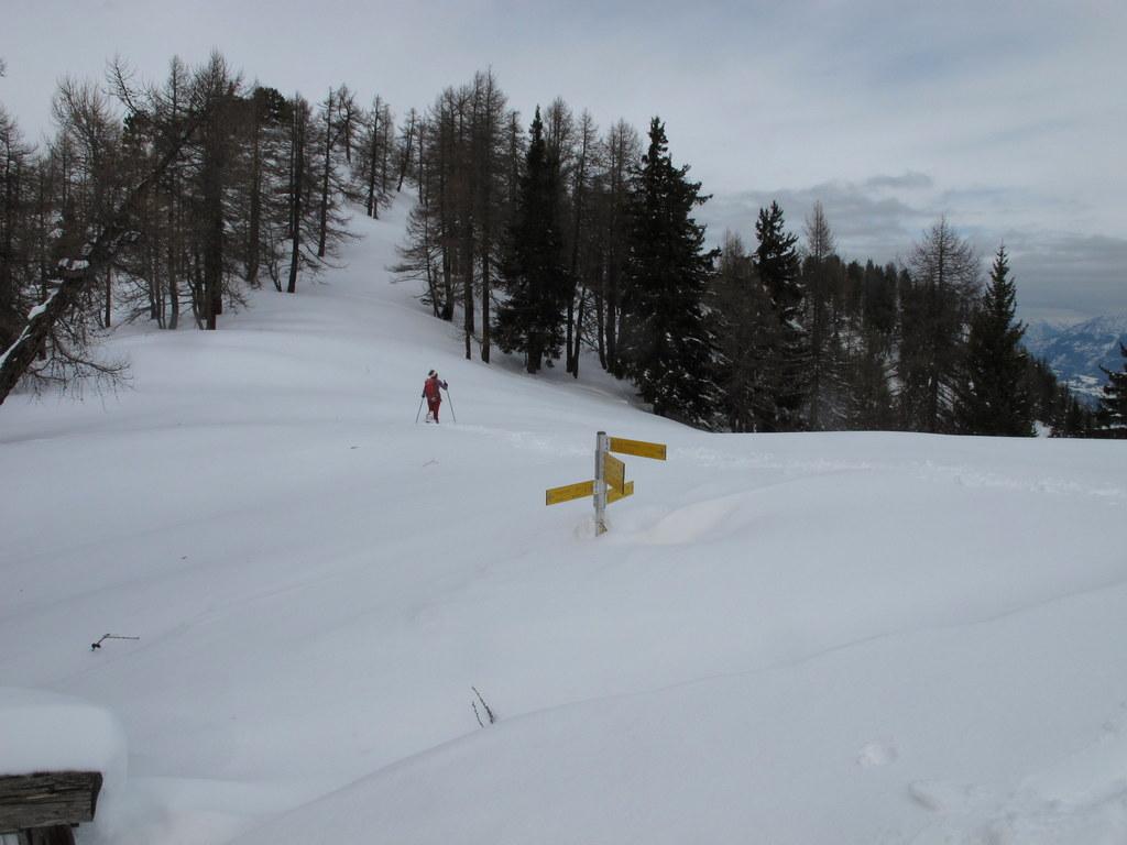
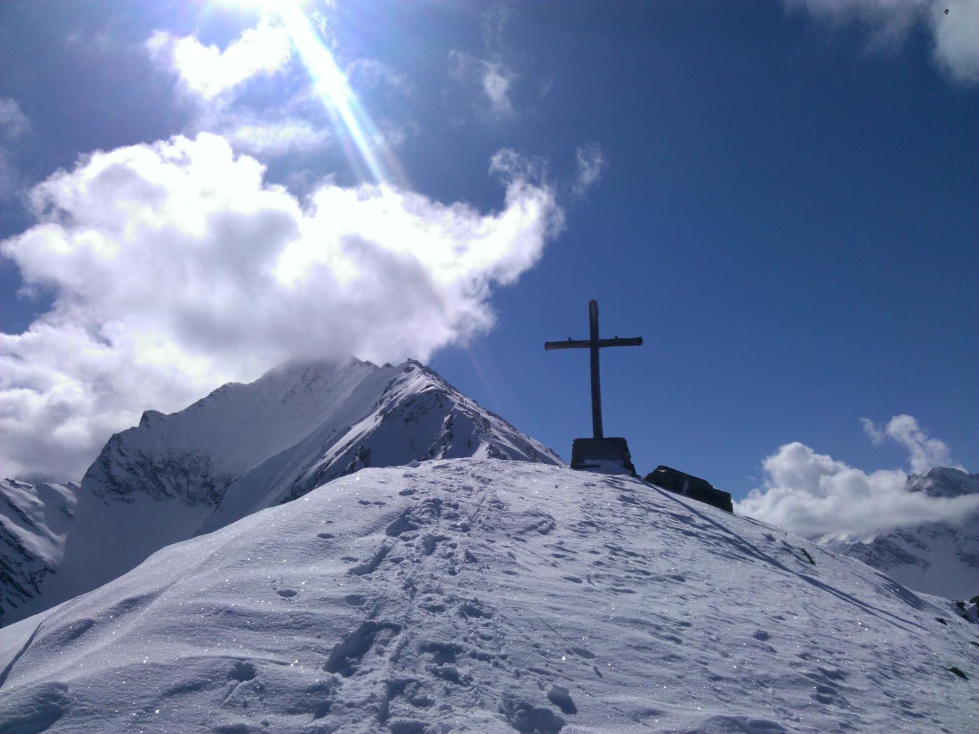
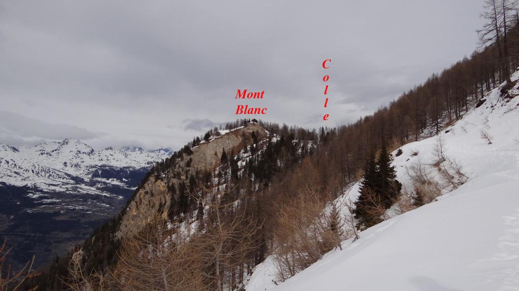
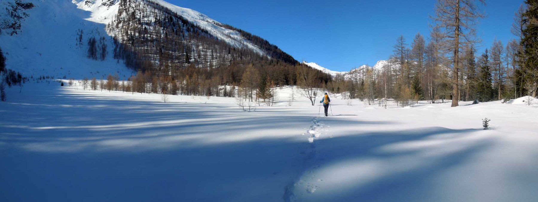
Imboccare la stradina asfaltata che sale a lato della scuola elementare/materna, le racchette si calzano normalmente dopo il secondo tornante, dove vi è un divieto di transito. Proseguire sino ad un bivio di poderali con indicazioni lignee e paline, girare a dx e poi subito a sx prendendo il sentiero indicato come “Scorciatoia M.Blanc”. Si passa su un ponticello e si sale nel bosco di conifere con pendenze relativamente dolci e regolari fino a sbucare in una piccola radura aperta, dove si segue la valletta in cui scorre il torrente Gerbelle (alla propria dx salendo) riportandosi in breve tempo nel bosco e incrociando subito dopo la poderale per Champromenty. La si attraversa e si continua la salita nel bosco in direzione S dapprima costeggiando la strada e poi alzandosi gradualmente (sentiero 3 – 3A). Si incontra nuovamente la strada nei pressi dell’imbocco del sentiero 4 (paline) e si prosegue su questo fino al vasto pascolo dell’Alpe Champromenty. Da qui si continua a dx sulla poderale e si raggiunge in questo modo il Col du Mont Blanc: si può abbreviare il percorso abbandonando la sterrata e risalendo il bosco dove questo è un po’ meno ripido (a q. 1970 circa, appena oltrepassato il canale in cui scorre il ramo laterale del Torrente Traverse). Dal colle si volge a sx, si passa accanto al casotto PNGP e si giunge alla boscosa cima.
Discesa per l’itinerario di salita. A seconda delle condizioni della neve si può tornare più velocemente a Champromenty scendendo direttamente nel ripido bosco a monte dell’Alpe dopo aver lasciato la poderale poco sotto il colle.
- Cartografia:
- Carta dei sentieri n. 3 1:25.000 L'Escursionista editore
- Bibliografia:
- M.Martini - Tracce Lievi - Martini Multimedia Editore
Nelle vicinanze Mappa
Itinerari
28/02/2015 AO, Rhemes-Saint-Georges D+ 1213 m BR Ovest
Paillasse (Mont) da Coveyrand
 50m
50m
23/02/2012 AO, Rhemes-Saint-Georges D+ 936 m MR Ovest
Blanc (Mont, Col du) da Coveyrand
 50m
50m
19/02/2017 AO, Introd D+ 651 m MR Nord
Bry (Plan) da Les Combes
 3.5Km
3.5Km
17/04/2010 AO, Arvier D+ 1054 m MR Varie
Boregne (Alpe) da Ravoire
 5Km
5Km
23/02/2026 AO, Villeneuve D+ 580 m MR Nord
Poignon (Mont) e Petit Poignon da Champlong
 6.8Km
6.8Km
27/01/2013 AO, Valsavarenche D+ 402 m MR Ovest
Mesoncles (Casotto di) da Rovenaud
 7Km
7Km
28/12/2014 AO, Saint-nicolas D+ 70 m MR Tutte
Bois de la Tour da Saint Nicolas
 7.2Km
7.2Km
13/12/2021 AO, Saint-Nicolas D+ 300 m T Sud
Grand Sarriod da Chaillod, anello
7.6Km
12/01/2025 AO, Avise D+ 880 m BR Sud-Ovest
Aquiletta (Punta) o Oilletta da Vens
 8.2Km
8.2Km
28/03/2026 AO, Avise D+ 456 m MR Sud
Secheron (Alpe) da Vens
 8.2Km
8.2Km
Servizi
5.8Km
5.9Km
Beau Sejour Albergo
Arvier
8.2Km
Vagneur Albergo
Saint-Nicolas
8.7Km
Paramont Albergo
Arvier
8.9Km
Grande Rousse Albergo
Rhêmes-Notre-Dame
9.1Km
Lo Fourquin Bar
Valsavarenche
9.1Km
Abro de la Leunna Ristorante
Valsavarenche
9.3Km
Le Vieux Noyer B&B
Saint-Pierre
9.7Km
Notre Maison Albergo
Saint Pierre
9.8Km