1.3Km
1.3Km
Note
 50m
50m
550m
1.6Km
1.6Km
1.6Km
1.6Km
1.6Km
1.6Km
50m
50m
550m
1.6Km
1.6Km
1.6Km
1.6Km
1.6Km
1.6Km
1.3Km
1.3Km
6.3Km
6.5Km
7.1Km
7.2Km
7.8Km
8.1Km
8.1Km
8.1Km
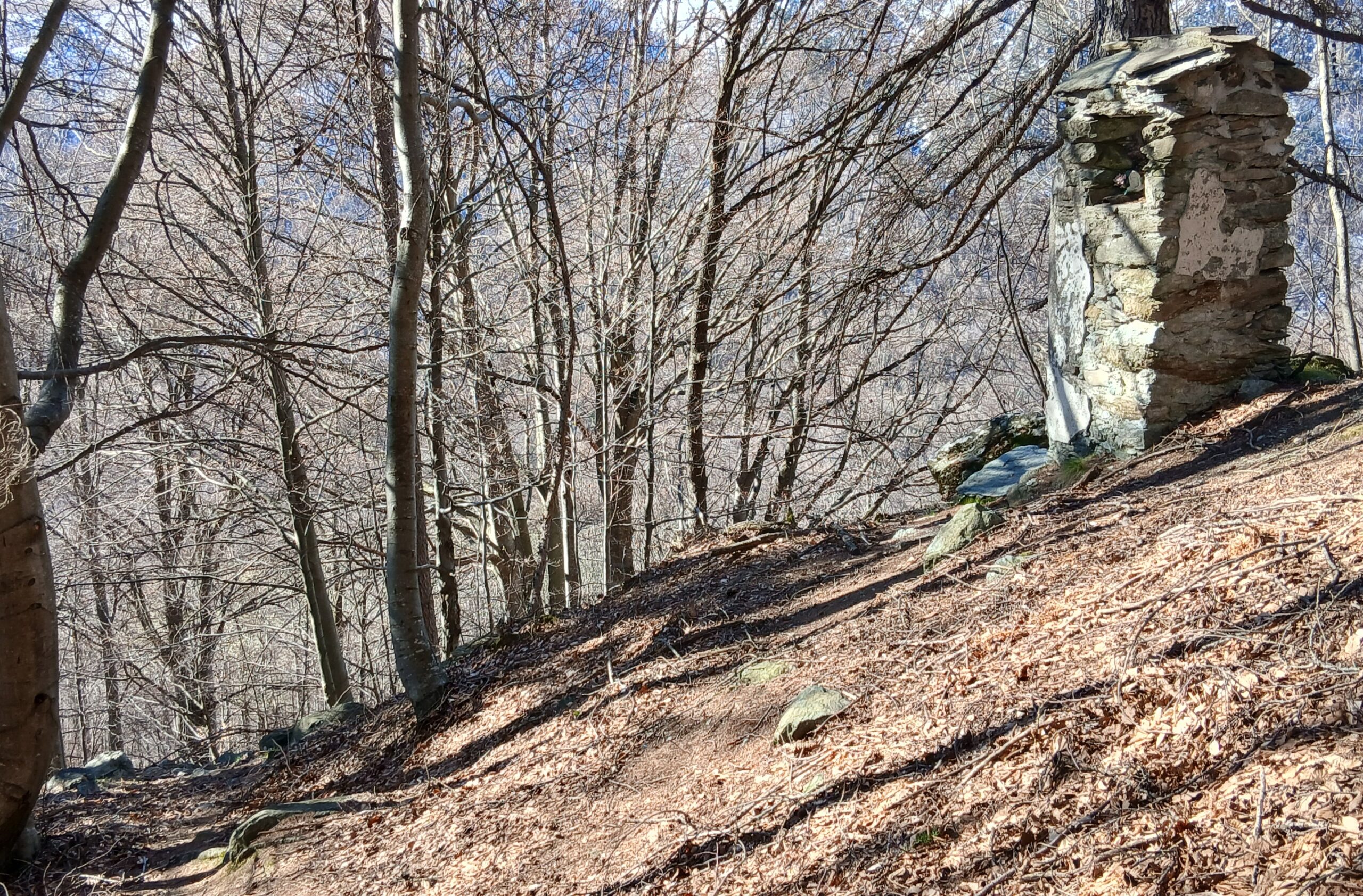
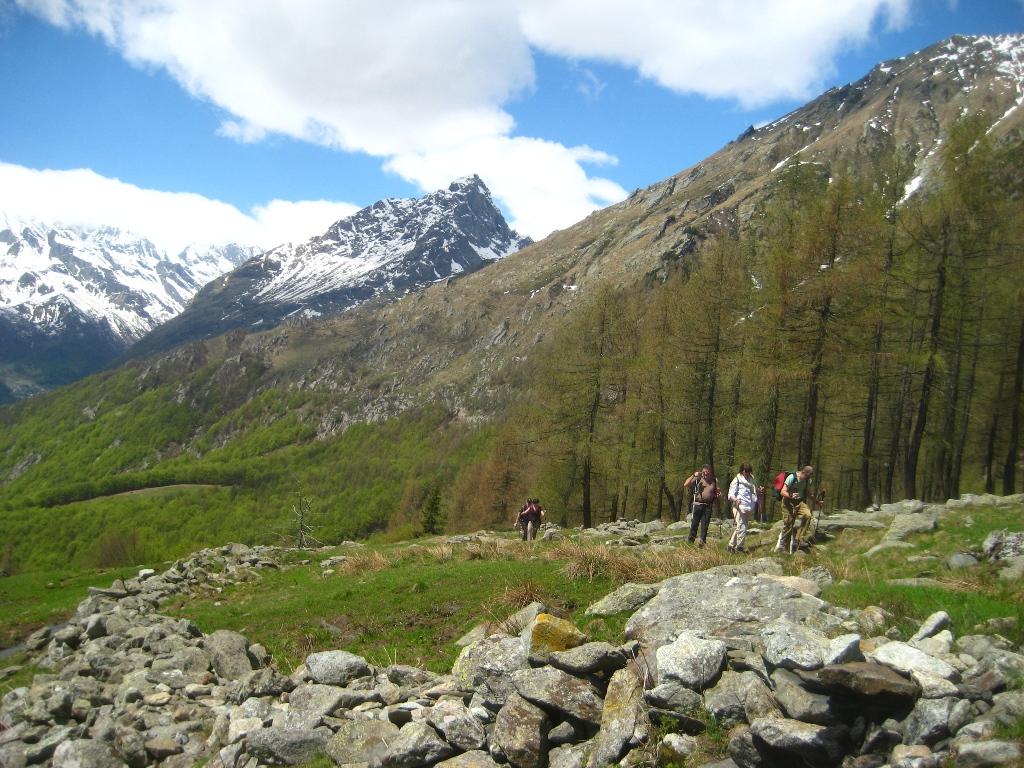
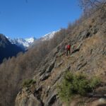
Itinerario escursionistico facile ma con neve o ghiaccio sul sentiero balcone o sul sentiero Magiurin (che chiude l'anello) occorre prestare molta attenzione ed avere con sè almeno un paio di ramponi da adoperare in caso di necessità.
Avvicinamento
Arrivando da Ala di Stura dopo circa un chilometro si trova la frazione Cresto dove si parcheggia l'auto.
Dopo la strettoia della frazione, si reperisce un sentiero che parte sulla sinistra della famosa fontana datata 1881.
Descrizione
Dopo la strettoia della frazione, si reperisce un sentiero che parte sulla sinistra della famosa fontana datata 1881.
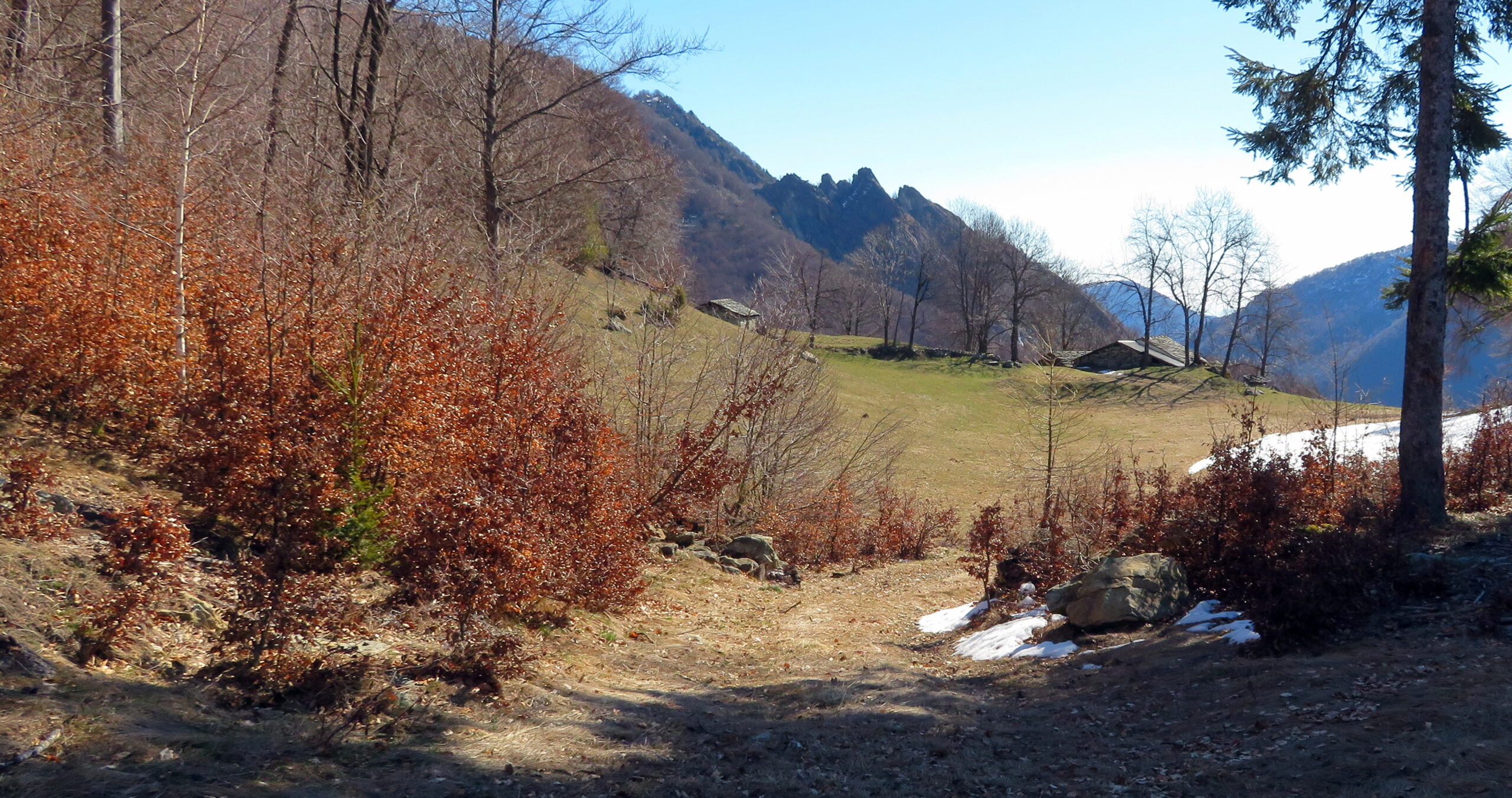
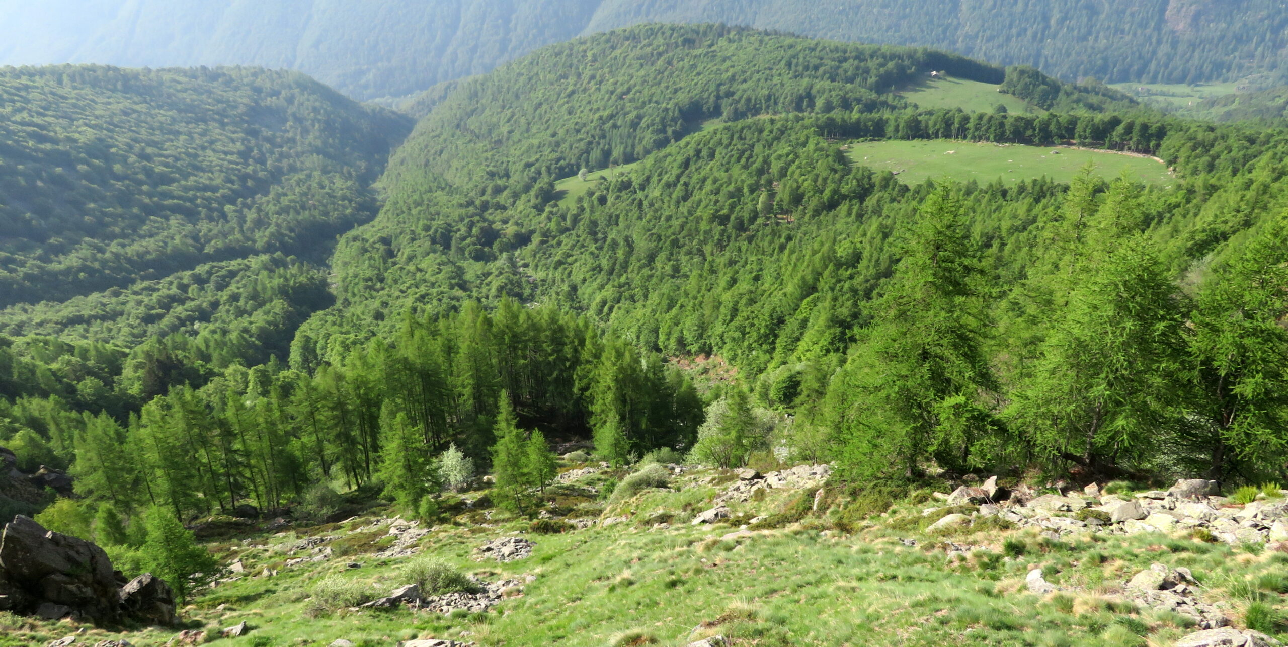
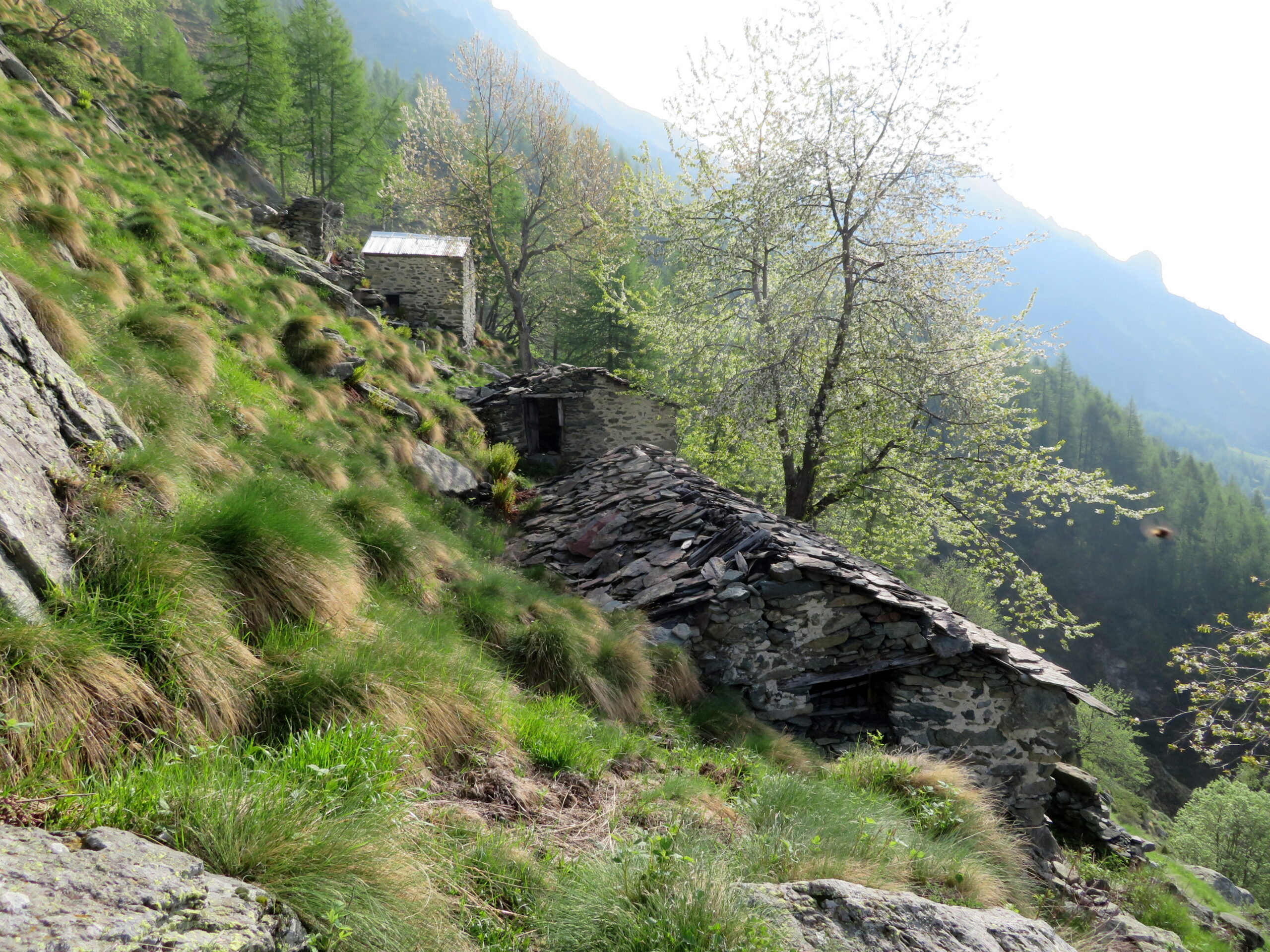
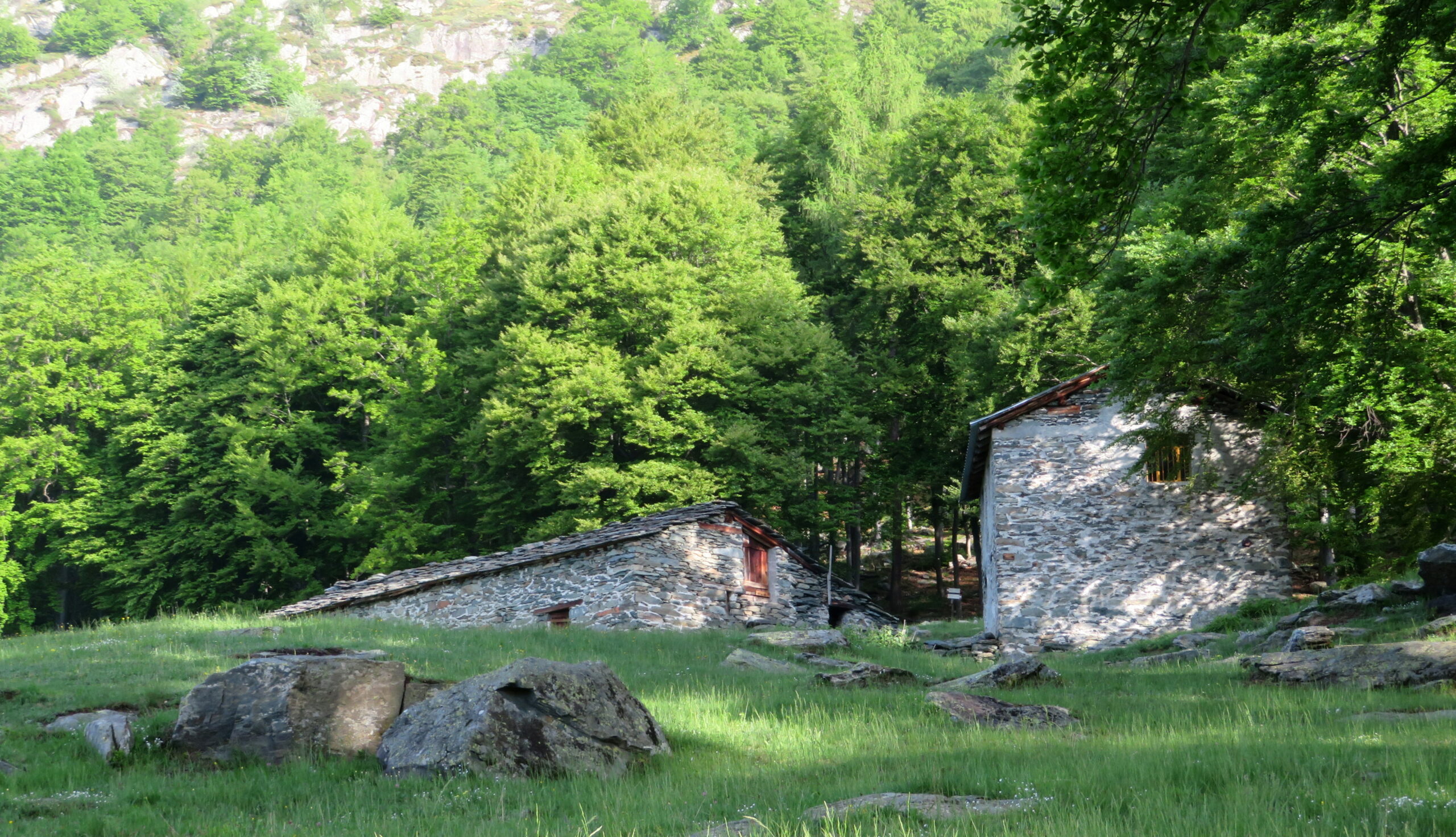
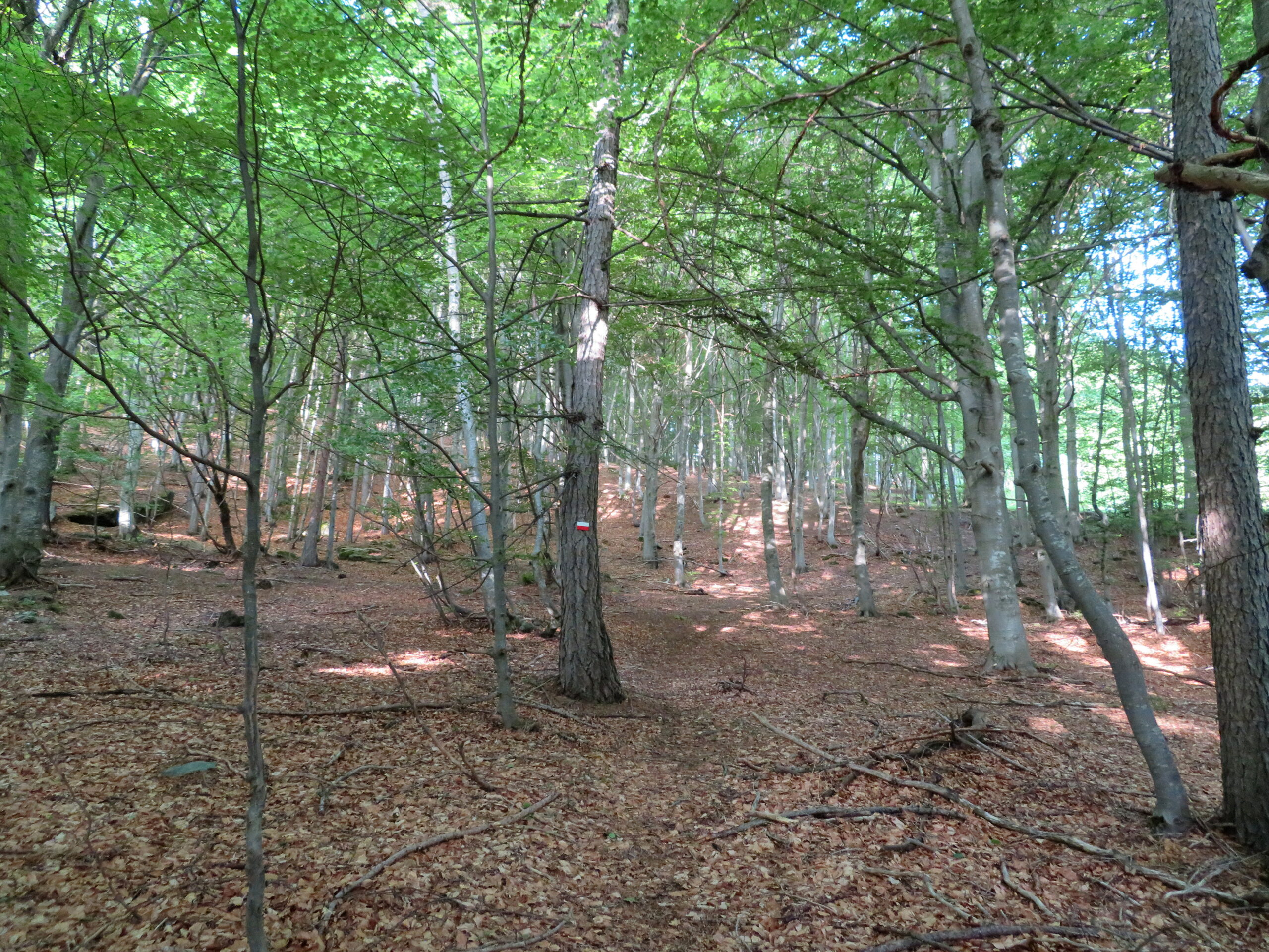
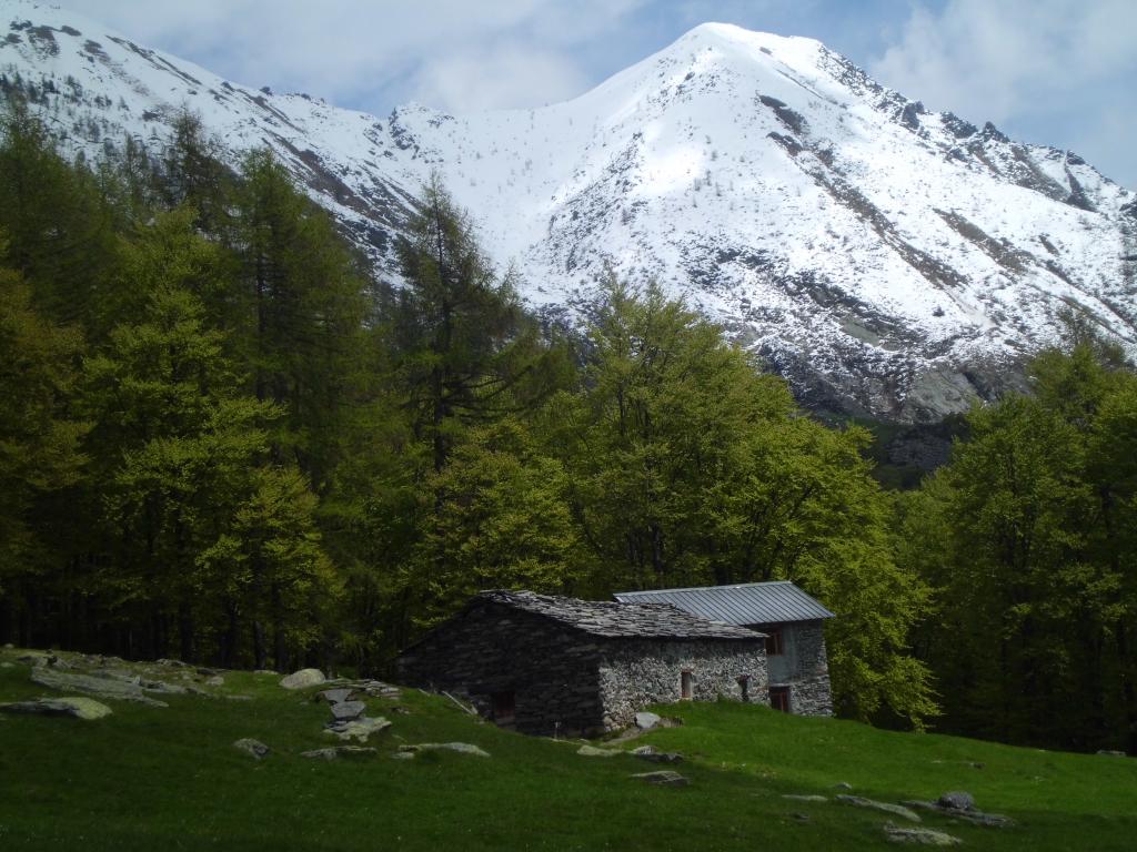
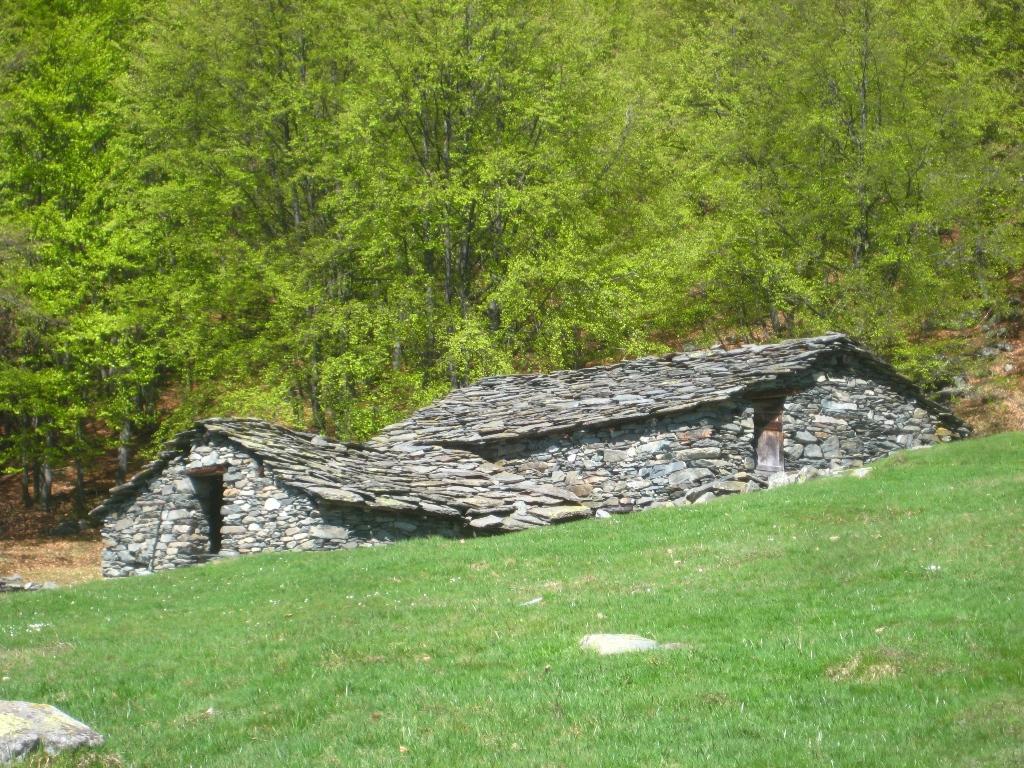
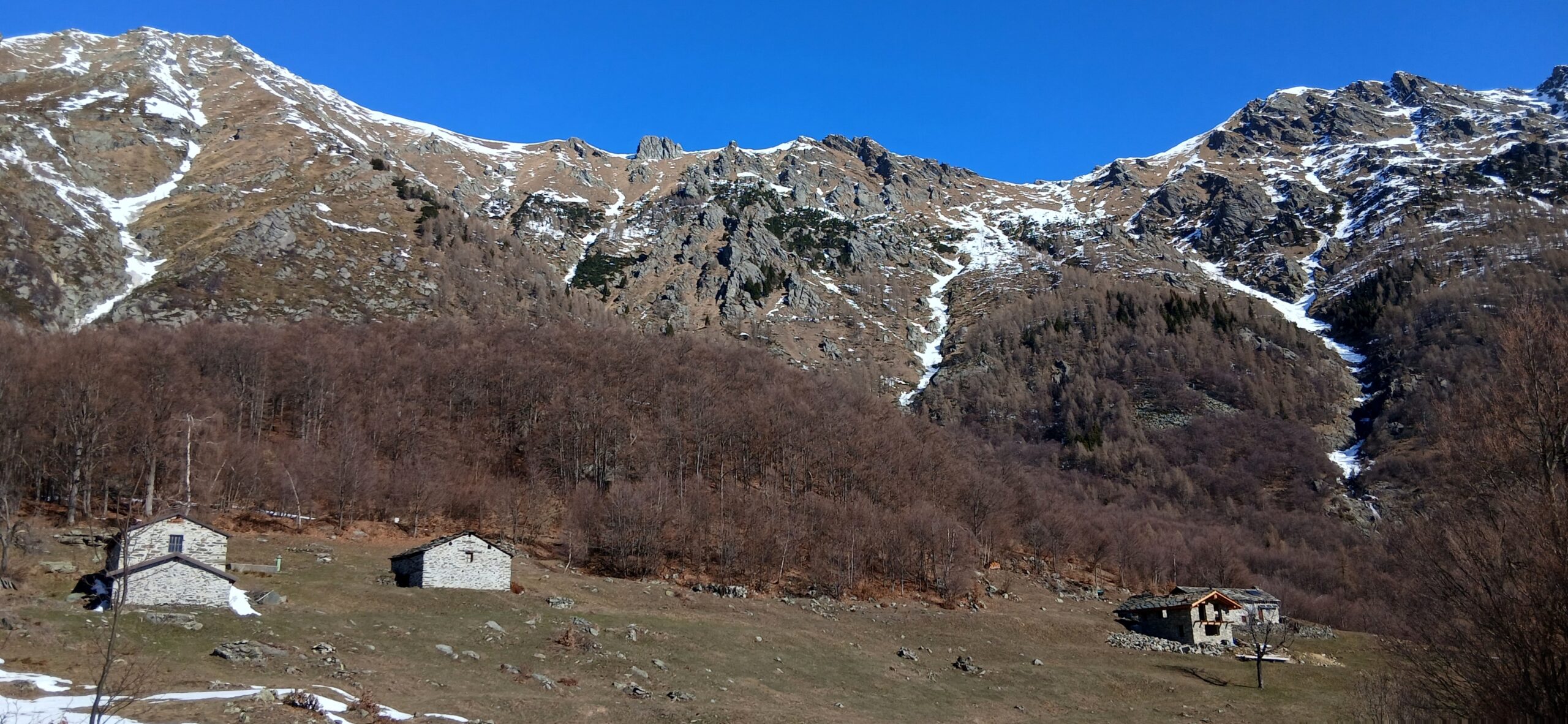
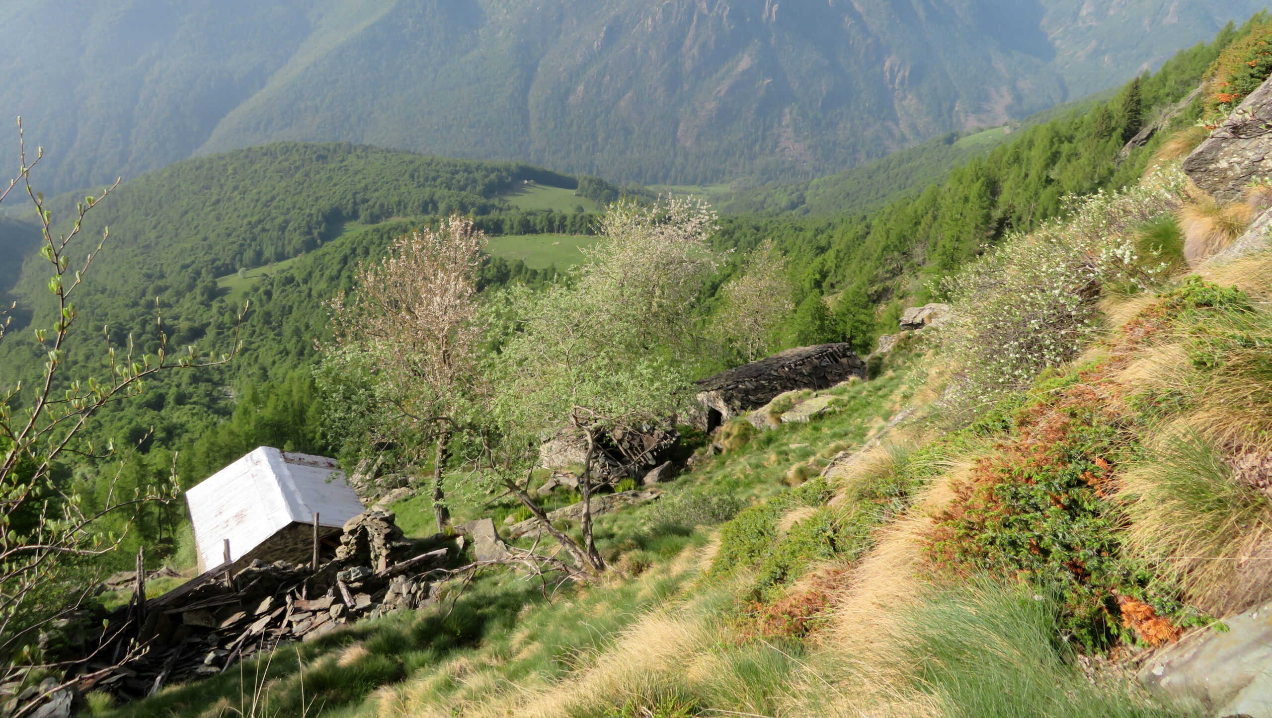
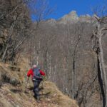
Il sentiero inizialmente attraversa la frazione e dopo un paio di attraversamenti della strada che porta alla frazione Cesaletti entra nel fitto bosco fino ad incontrare la strada di terra battuta che ci permetterà di raggiungere prima Pianfè e successivamente Pian Sarpeis.Proprio dietro l’alpeggio Pian Sarpeis parte il sentiero balcone alto segnalato con palina.
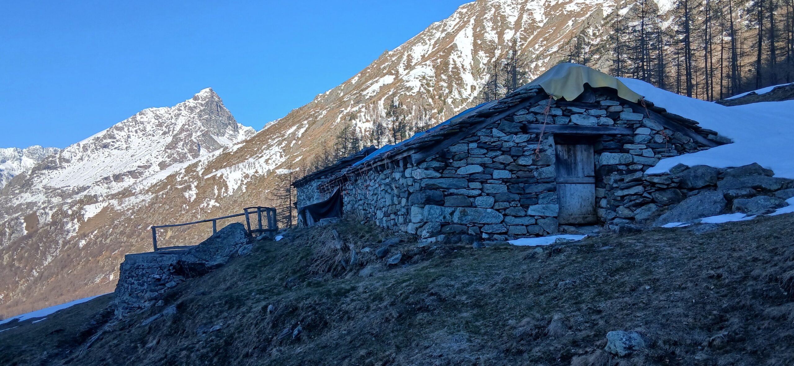
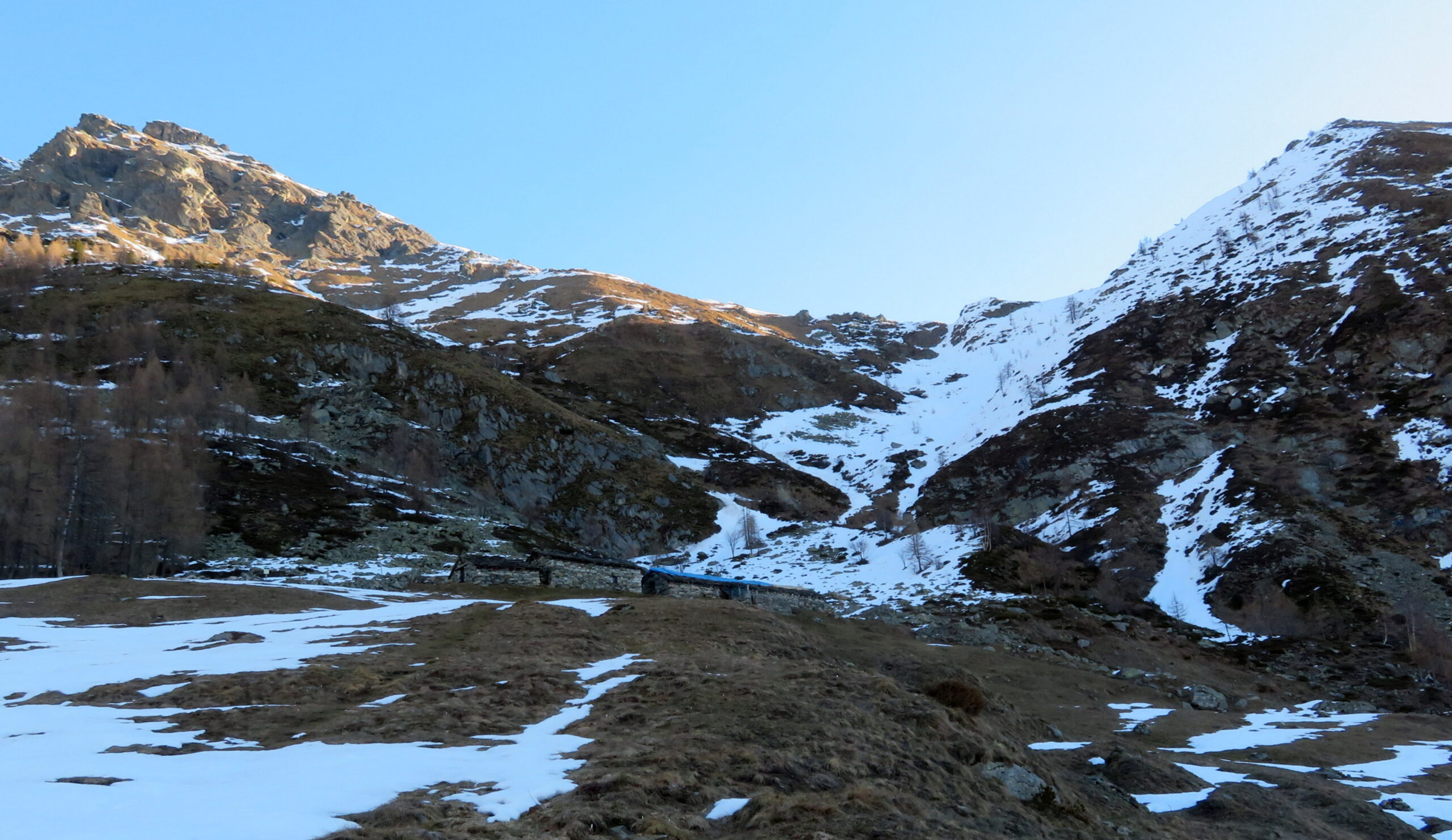
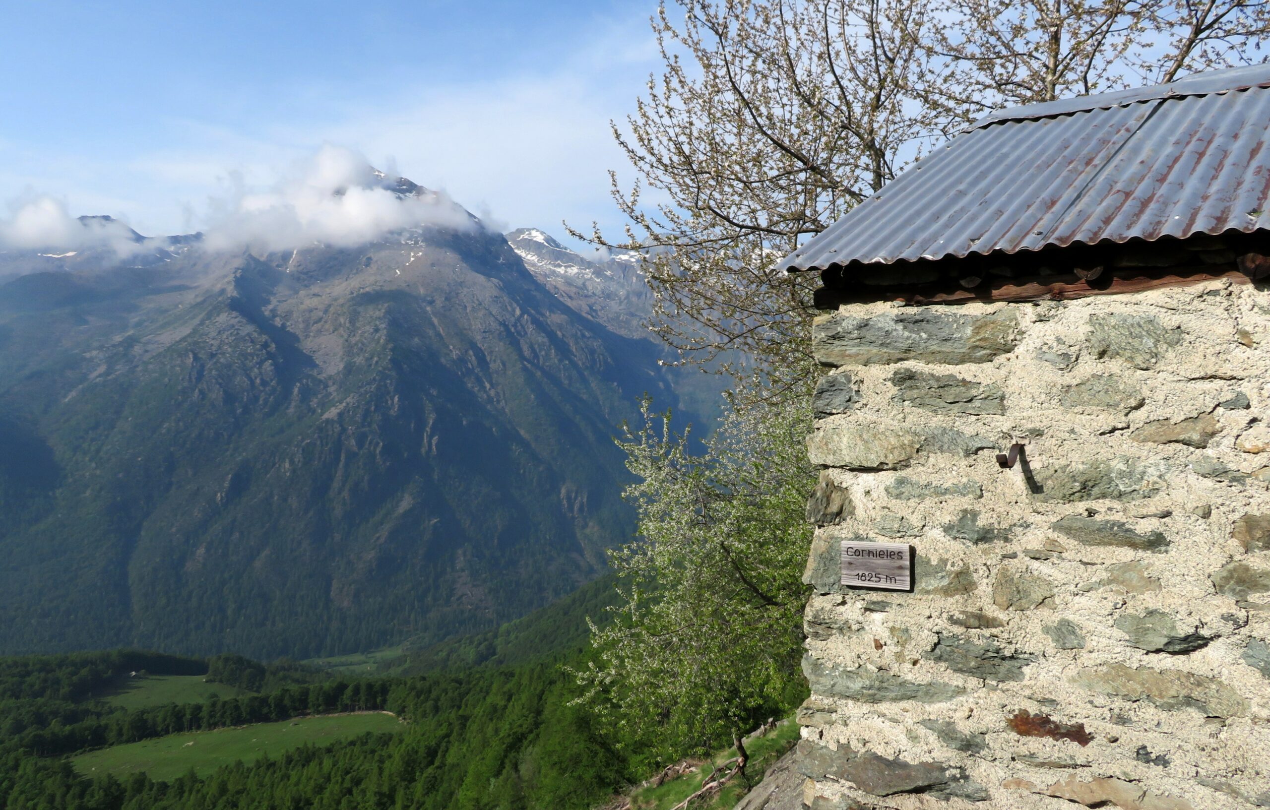
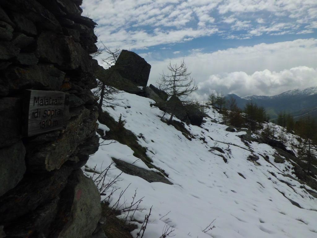
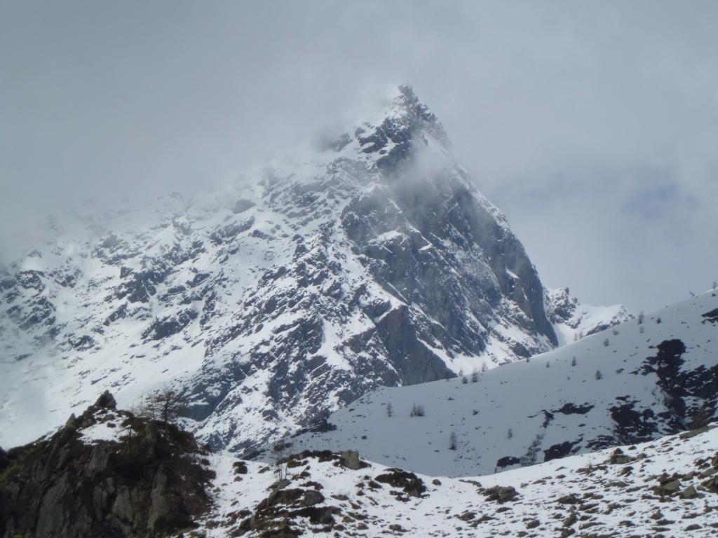
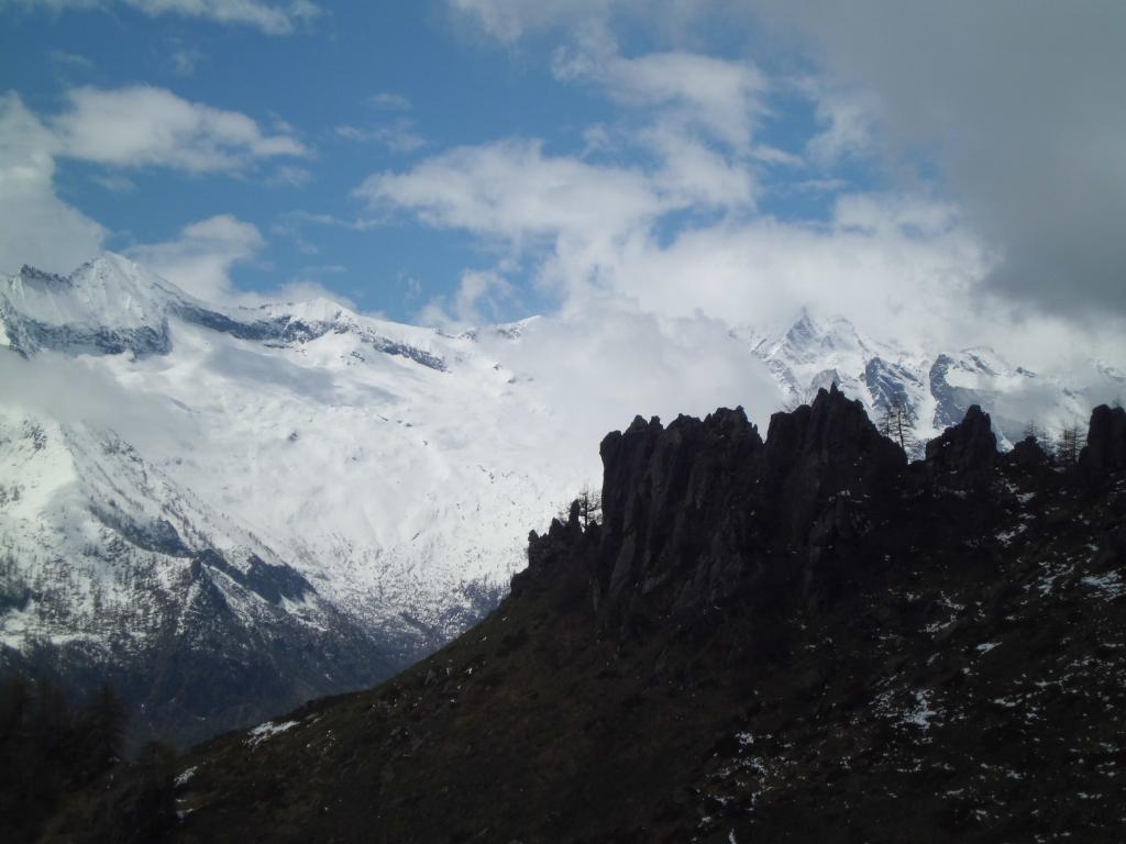
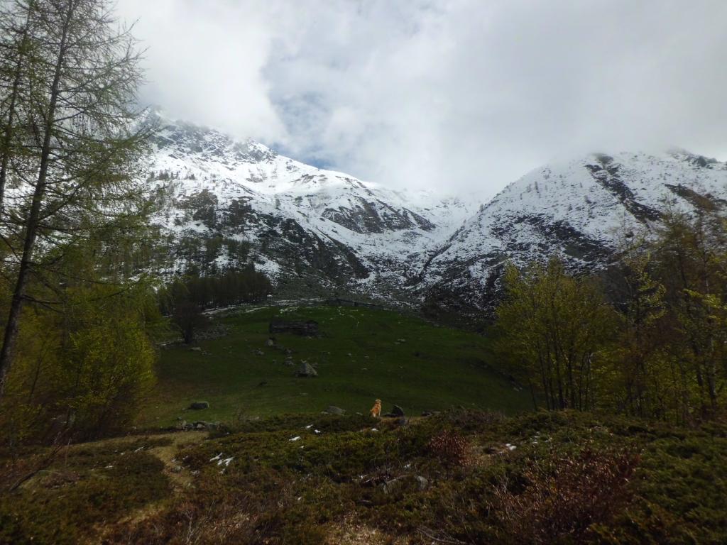
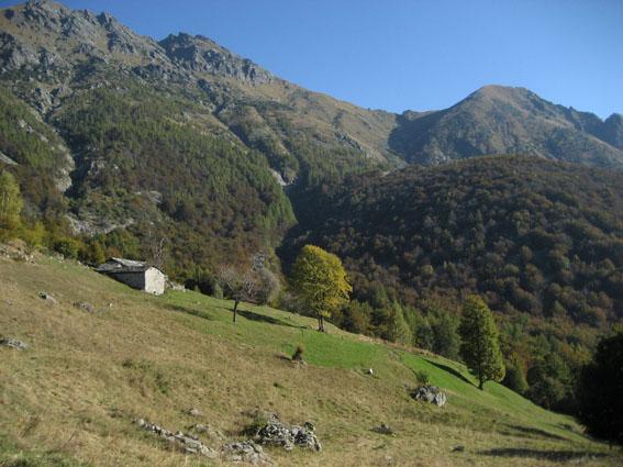
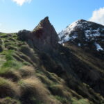
Inizialmente il sentiero si inerpica ripido fino all’altezza dell’Alpe Corniele,successivamente percorre quasi in orizzontale tutti gli anfratti che sostengono le pendici del Monte Doubia fino a raggiungere l’Alpe d’Attia.
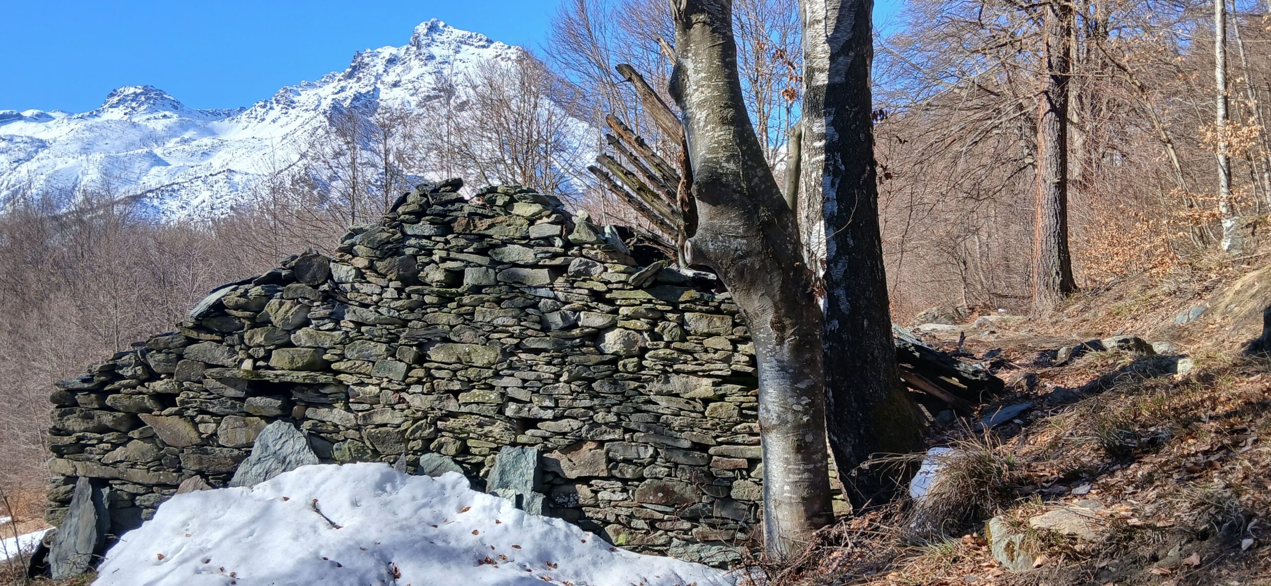
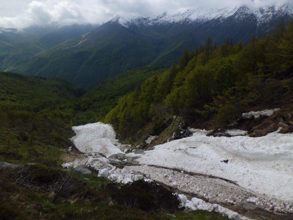
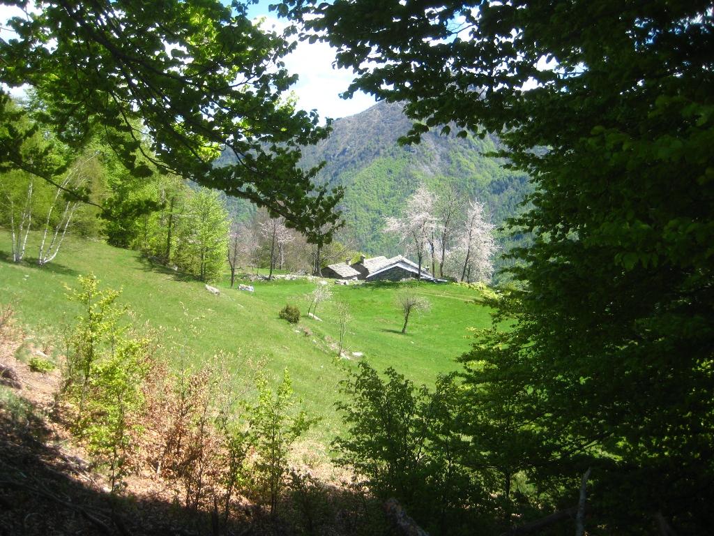
Per il rientro si scende al Pian d’Attia con il sentiero 238 e piegando a destra si raggiunge il sentiero Magiurin che attraverso una bellissima faggeta ci conduce sulla strada sterrata che utilizzeremo per il rientro alla frazione Cresto dove abbiamo lasciato l’auto
- Cartografia:
- Fraternali 1:25000 n.8 Valli di Lanzo, IGC n.103
Nelle vicinanze Mappa
Itinerari
22/11/2015 TO, Ala di Stura D+ 854 m E Sud
Attia (Col d’) da Cresto, anello
 50m
50m
02/01/2016 TO, Ala di Stura D+ 441 m E Sud
Sarpeis (Pian) da Cresto
 50m
50m
24/09/2023 TO, Ala di Stura D+ 1700 m EE/F Nord-Est
Rosso d’Ala (Monte) da Ala di Stura per il versante Nord
 550m
550m
03/06/2012 TO, Ala di Stura D+ 100 m E Nord
Airal (Pian) da Ala di Stura
550m
31/05/2026 TO, Ala di Stura D+ 1029 m E Sud
Attia (Col d’) da Ala di Stura
 1.6Km
1.6Km
18/01/2022 TO, Ala di Stura D+ 400 m EE Sud-Est
Bouiri dou Servagiu (Grotta) da Ala di Stura per il Roc dou Tchapèl
 1.6Km
1.6Km
24/05/2025 TO, Ala di Stura D+ 1150 m E Sud
Attia (Punta d’) da Ala di Stura
 1.6Km
1.6Km
03/05/2025 TO, Ala di Stura D+ 591 m EE Sud
Tourn (il) da Ala di Stura, anello per Monaviel
 1.6Km
1.6Km
19/04/2022 TO, Ala di Stura D+ 440 m E Nord
Nona (Rocca di) da Ala di Stura
 1.6Km
1.6Km
23/06/2025 TO, Ala di Stura D+ 456 m EE/F Sud-Ovest
Curbassere (Punte delle) da Ala di Stura
 1.6Km
1.6Km
Servizi
1.3Km
1.3Km
corbassera Ristorante
Ala di Stura
6.3Km
Lu Sciale Rifugio
Groscavallo
6.5Km
Setugrino Albergo
Groscavallo
7.1Km
Il Saloon Ristorante
Groscavallo
7.2Km
Il Corvo Reale Ristorante
Chialamberto
7.8Km
Posta Bar
Chialamberto
8.1Km
Val Servin Ristorante
Balme
8.1Km
Les Montagnards Albergo
Balme
8.1Km